
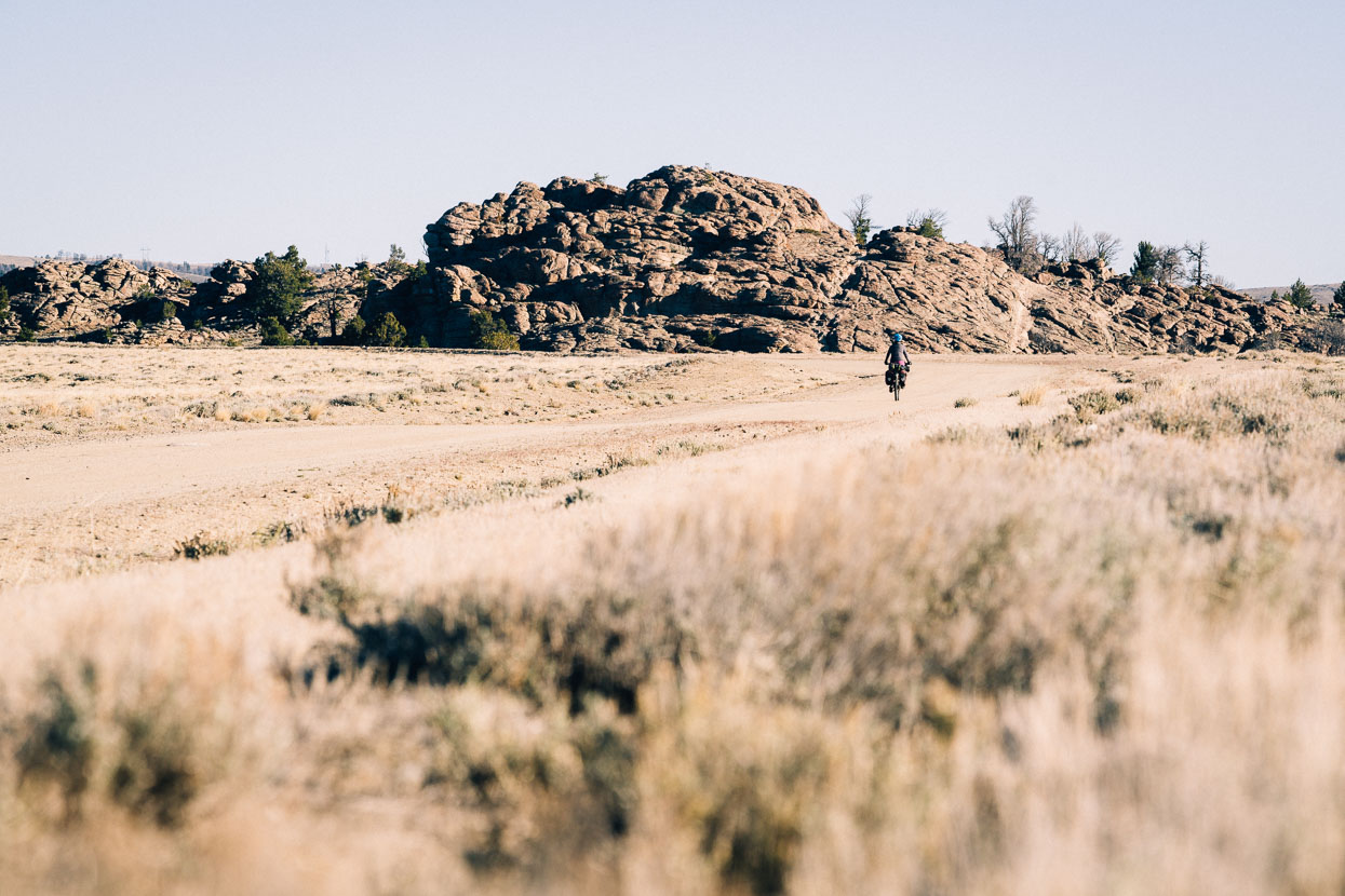
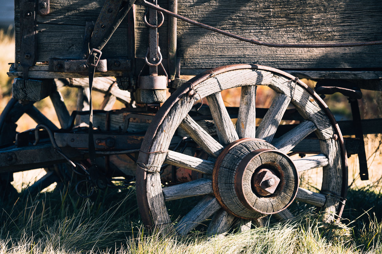
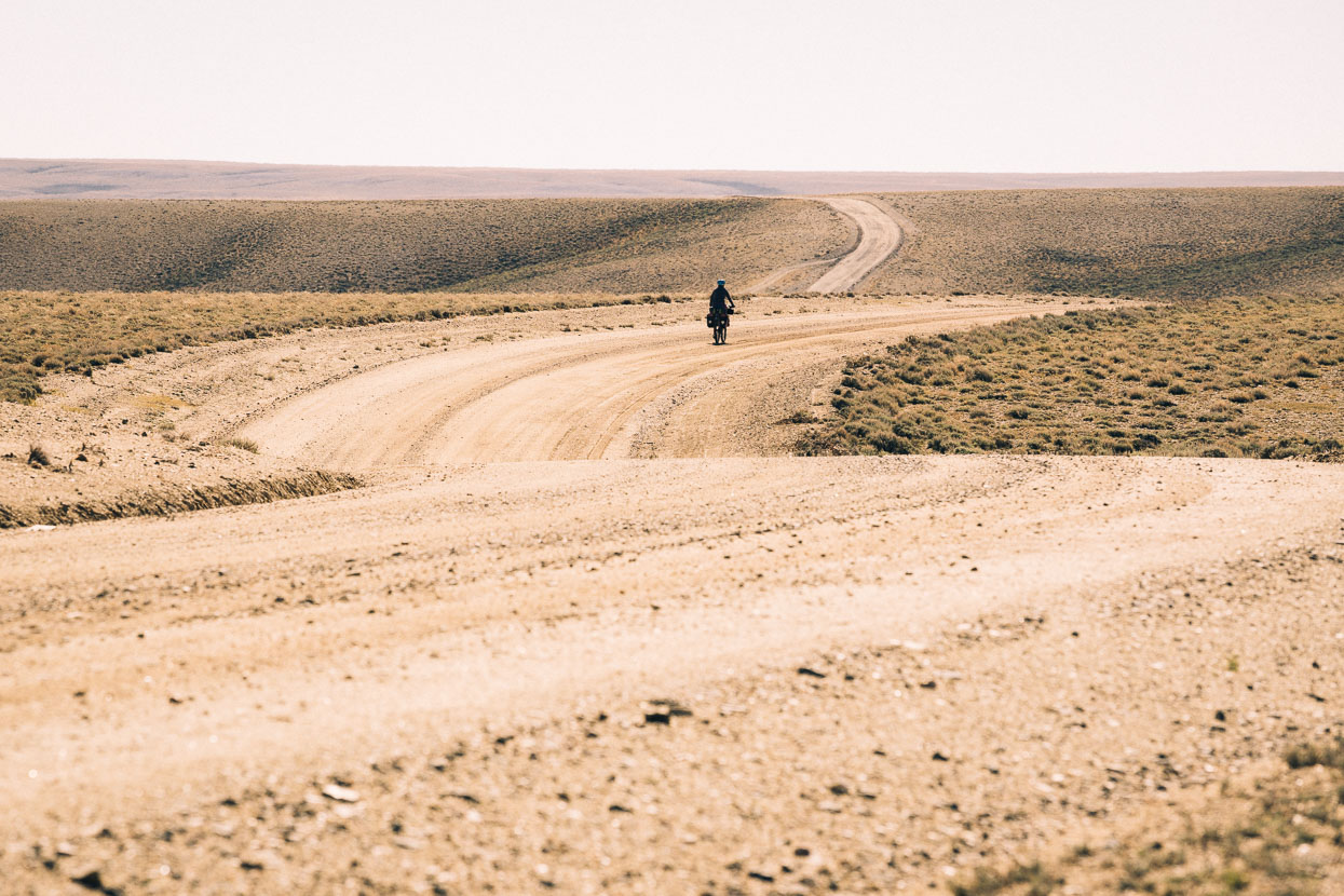
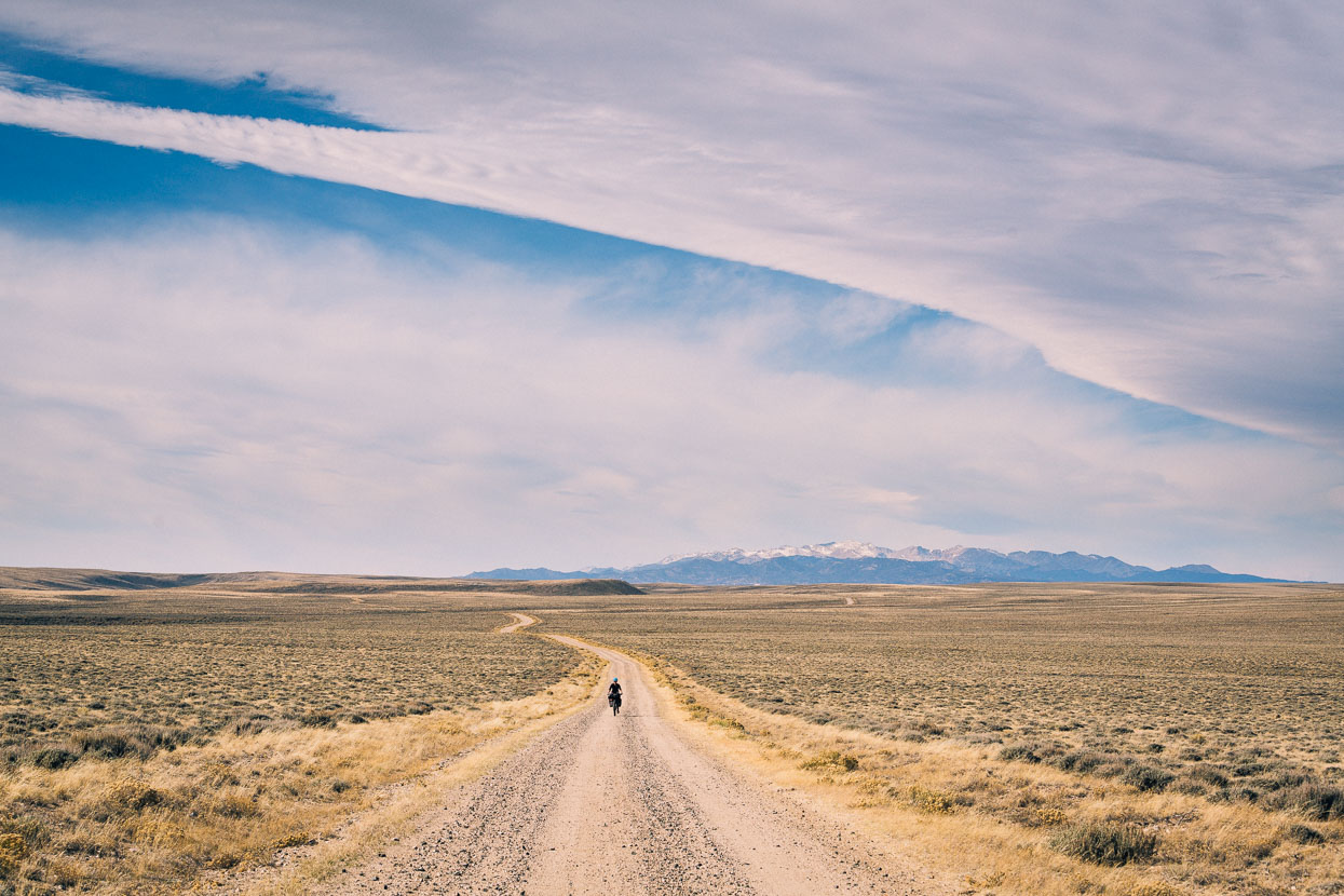
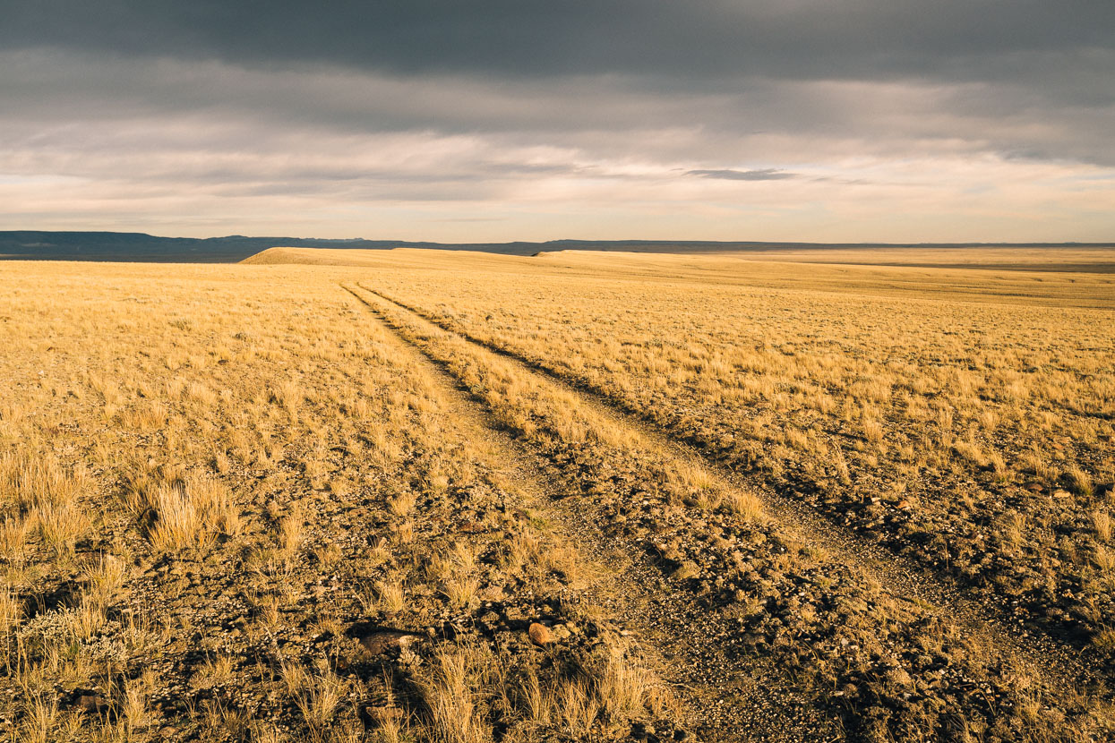
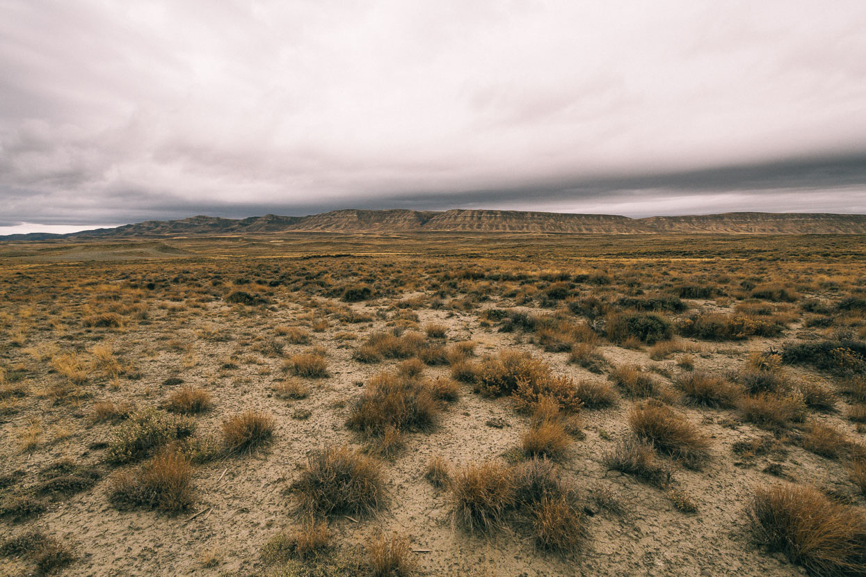
A much anticipated section of the Great Divide awaited us as we left Pinedale to head south towards the Colorado Border: the Great Divide Basin. This seemingly endless expanse of dry, windswept sagebrush and dusty grasslands is the most notable geographical feature of Wyoming’s Red Desert. It’s truly a basin too; enclosed by the Divide – which forks around it – none of the precipitation falling within this region drains to the ocean, directly or indirectly. That said, there is little surface water to speak of, meaning careful planning is required to keep your bottles full.
The basin’s exposure to the elements is profound and for the cyclist its notorious winds are probably the most feared aspect – making or breaking the experience of Great Divide riders passing this way. Whatever the weather they have, every cyclist will remember crossing this remarkable place.
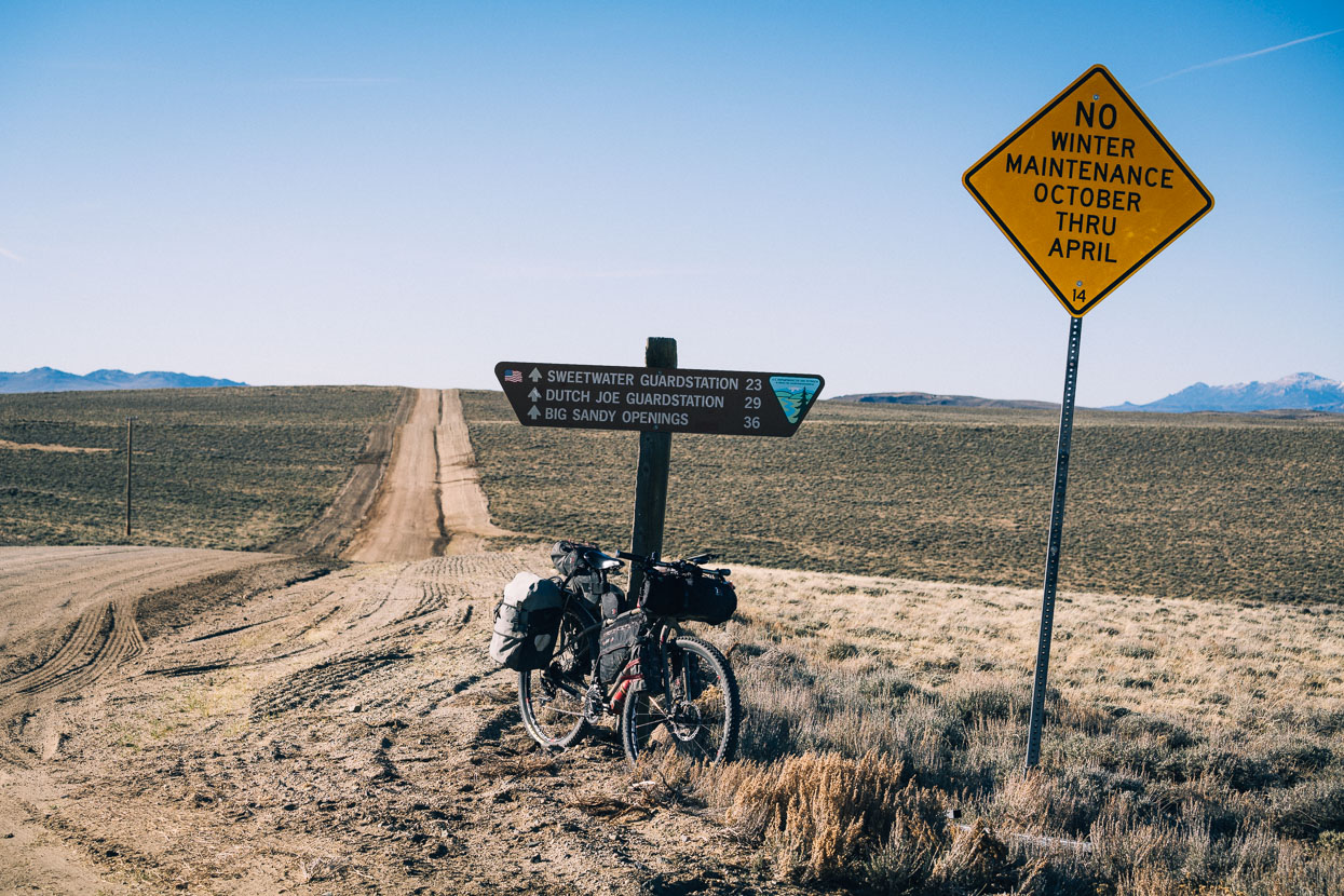
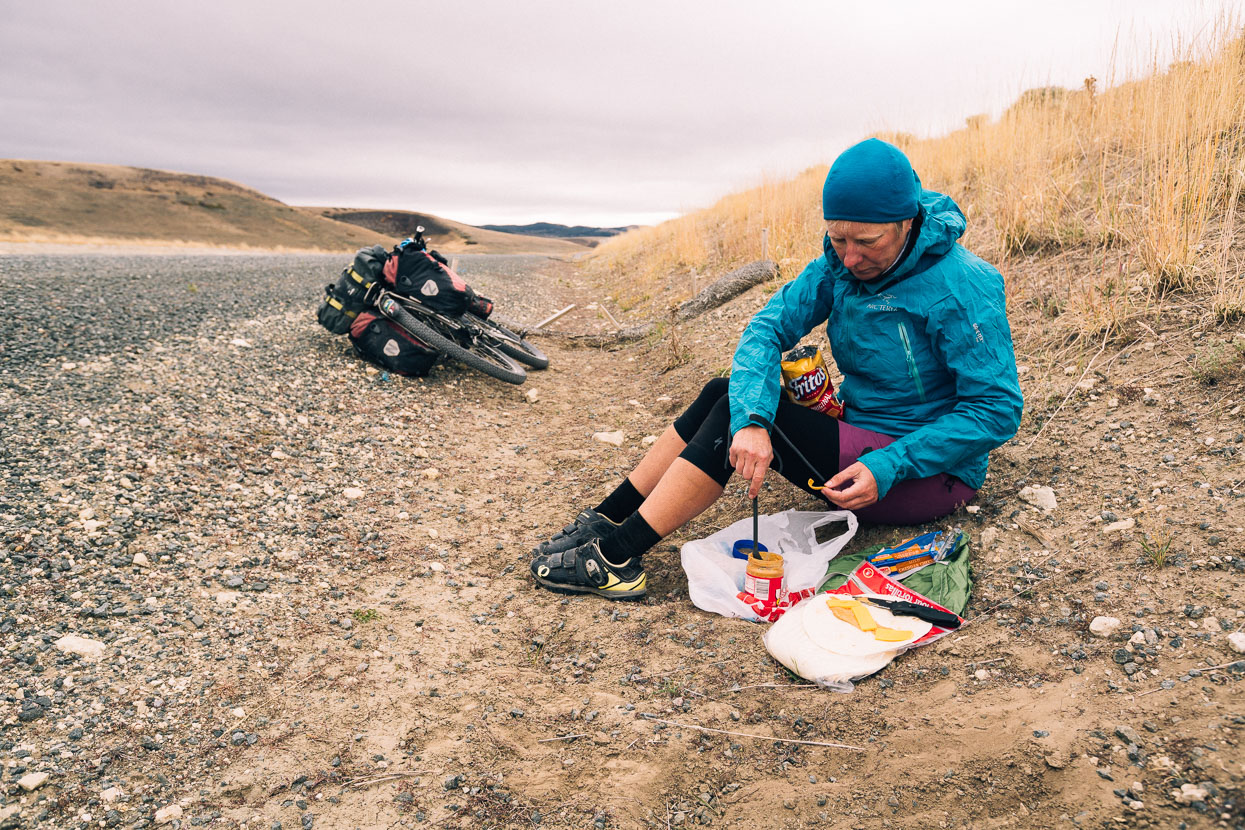
Between Pinedale, beneath the Wind River Range and Rawlins, on the south east edge of the basin, we’d only pass through the tiny historic mining settlements of South Pass and Atlantic City (both just a day out of Pinedale) so we carried three days food – and a bit extra, just in case …
We left Pinedale in the still and frigid air of a -10c morning, briefly following a sealed road out of town before cutting south east, paralleling the Wind Rivers as we followed foothills and glacial plains towards South Pass at the toe of the range; the already distant horizon a preview of the landscape to come.
Granite peaks of the Wind Rivers occasionally peeked over nearby ridges.
Cattle and sheep ranches flank the roads and scabs of granite dot the hillsides along this ride through the wild west, which is also the route of the Oregon Trail. We’re on the Lander Cutoff – a route that some of the wagon trail pioneers preferred, despite its steepness, due to readily available firewood and occasional streams, neither of which were present on the original route which cut across exposed and dry desert.
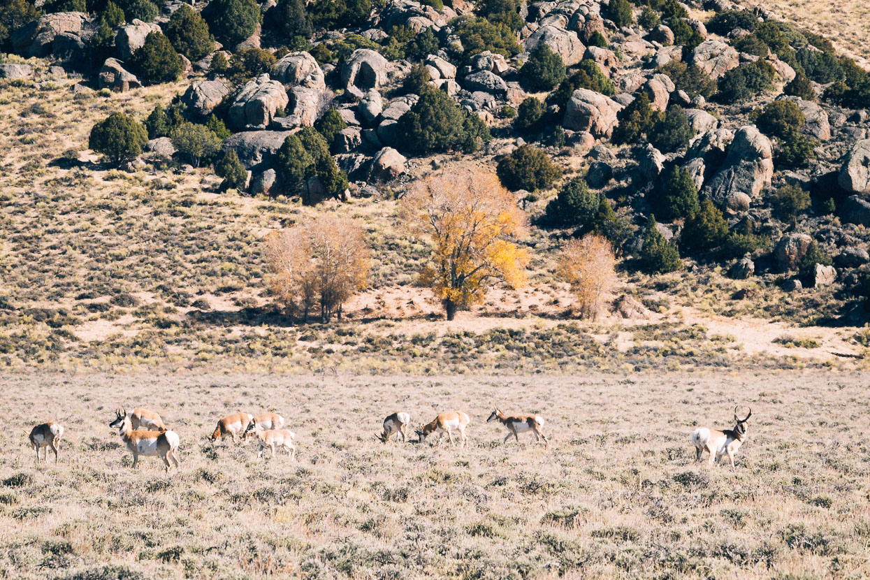
Pronghorns – North America’s fastest land mammal – have become a common sight alongside the road now, though we rarely see them close. One glimpse of us and they’re off across the prairie at speed.
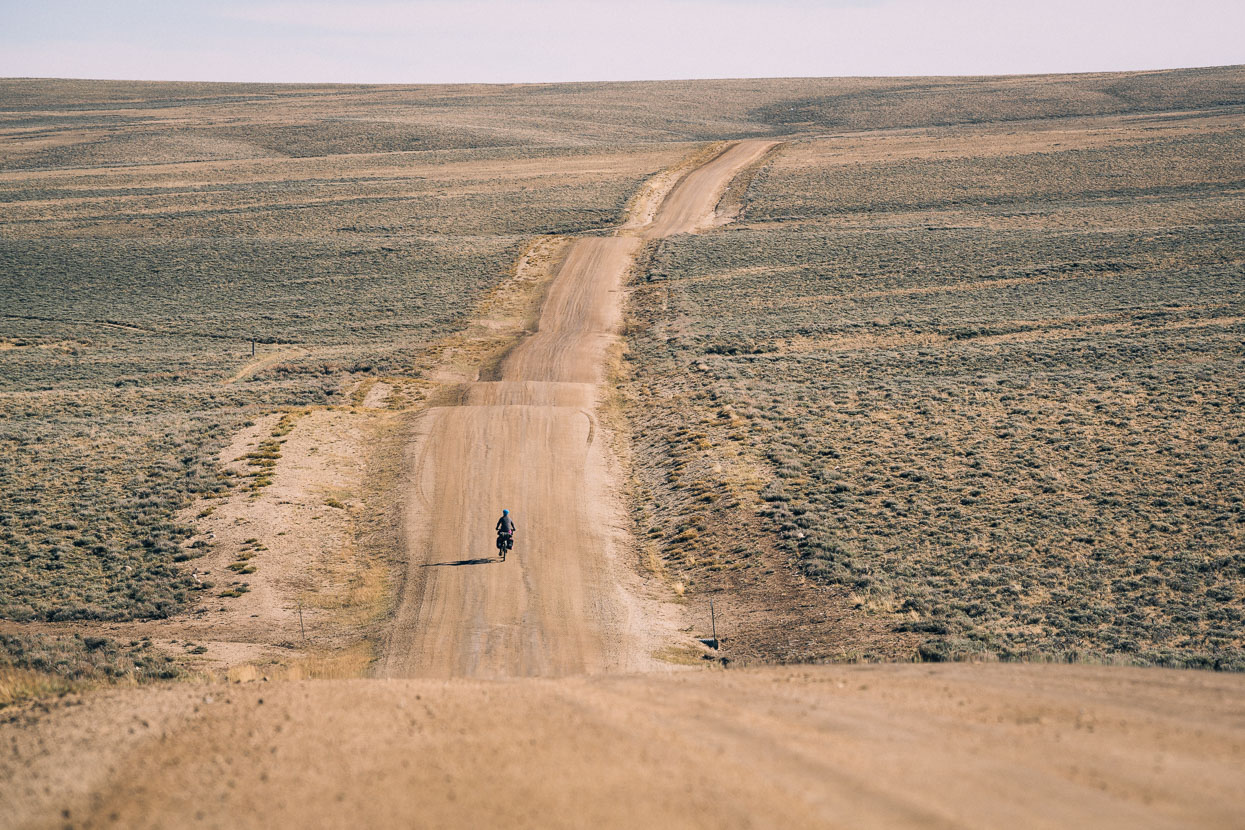
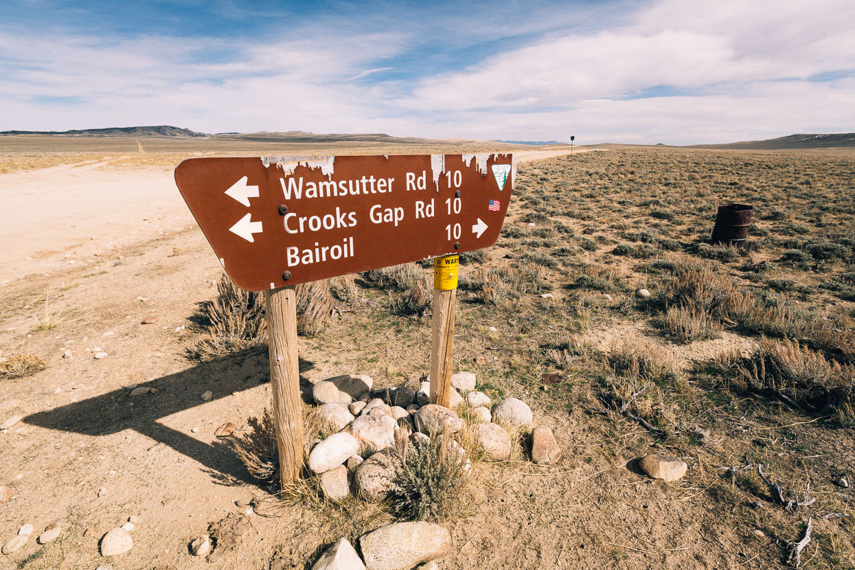
After months of riding through forest, or at least being able to see forest, the sense of space is a novelty. Signage a reminder that we’re lucky to still be moving forward at these elevations.
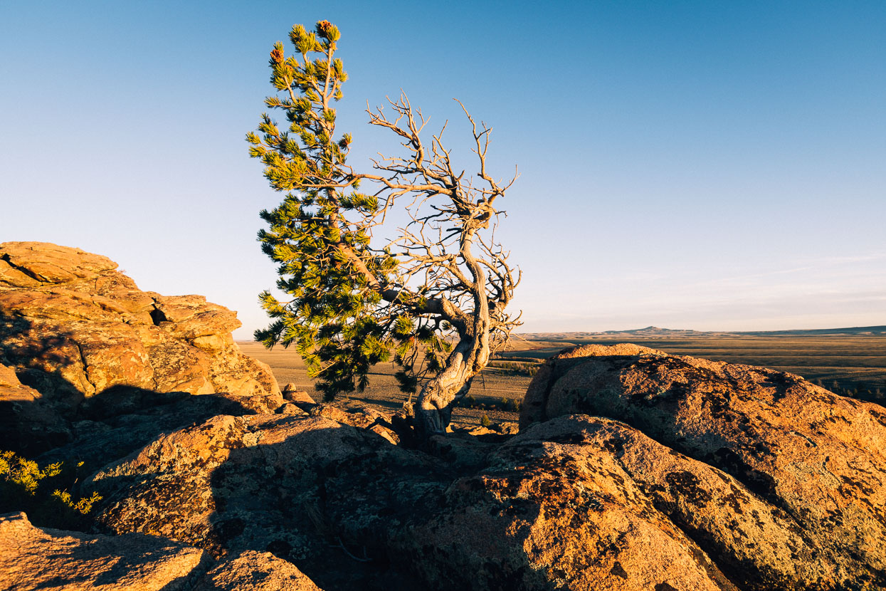
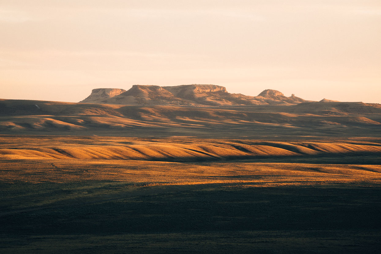
The end of the day sees us at South Pass (2259m), camped among granite outcrops and alongside a small stream. Barely perceptible as a pass due to its soft contours, South Pass provided a line of least resistance for wagon towing settlers forging their way west along the Oregon, Mormon and California Trails, which converged east of and separated west of the pass. The 35 mile wide pass is actually a pair of low points between the Wind River Range and the distinct landmark for the early pioneers; the Oregon Buttes (above).
Night brings temperatures well below freezing again.
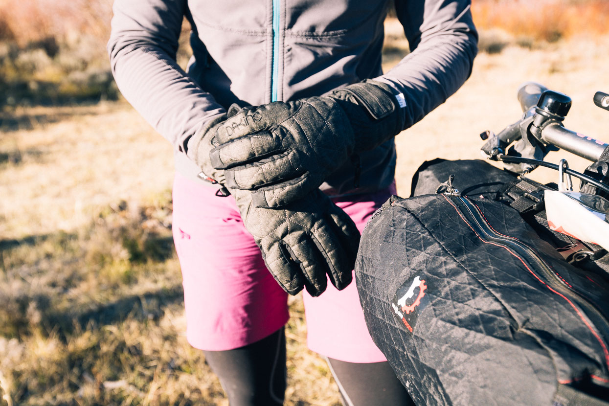
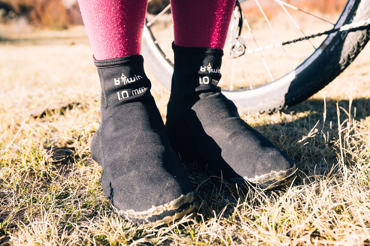
Hana’s had a glove upgrade and we’re both glad to have our neoprene shoe covers for mornings like this.
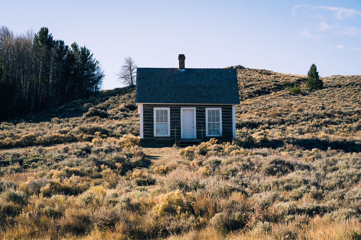
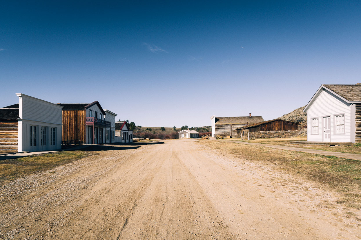
A short ride in the slowly warming air brings us to South Pass City, a long-since bust gold mining town. Nestled in a cosy valley a few historic buildings (and a handful of modern dwellings) are scattered around this ghost town, making it a popular stop for passing tourists.
South Pass City’s main street, below.
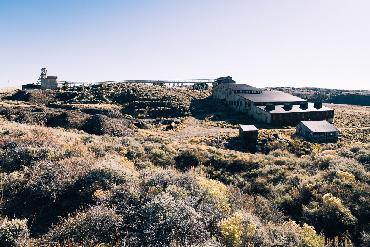
Back out of the valley and on the crest of a big rolling ridge sits a defunct mine.
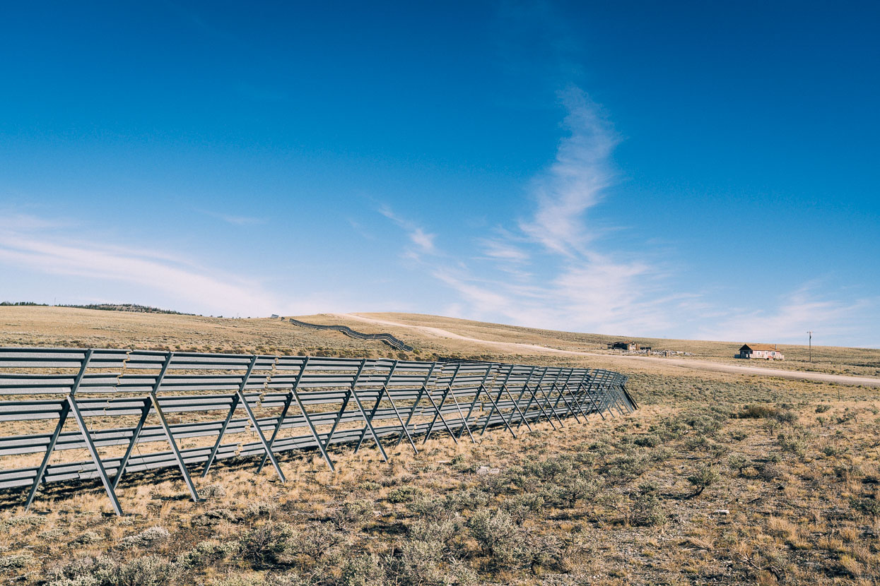
We’ve already noted that Wyoming is a land of wind, and with that comes severe snow drifts during winter. With so much open space and gentle topography between distant ranges snow blows a long way. Drift barriers, such as this, are a common sight alongside roads.
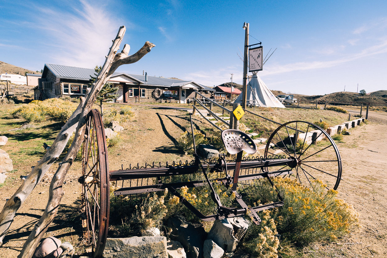
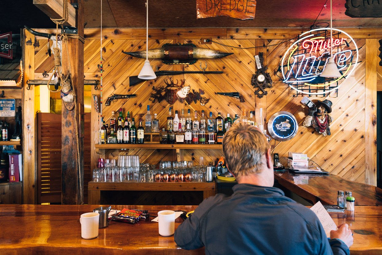
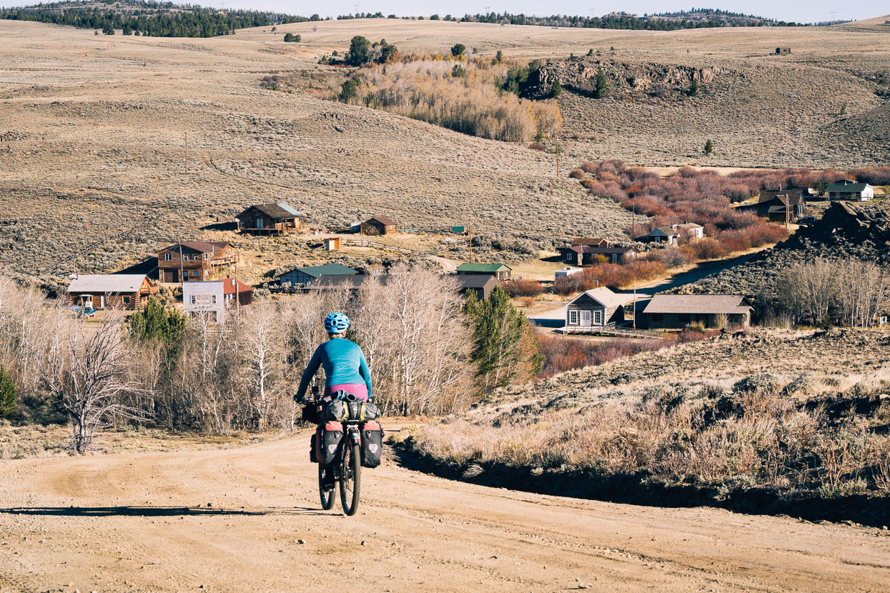
From South Pass City it’s just another short hop to a slightly larger, slightly less deserted village; Atlantic City. Like so many places in the American west Atlantic City has its own story of boom and bust. These days a few people eke out an existence here, prospecting and perhaps hunting in nearby ranges. Only the bar was open, so we popped in for a quick coffee and some more candy bars. Word from the handful of locals shooting the breeze inside was that more weather was on the way.
We rode a short steep climb out of Atlantic City and were back in the open. The road cut a swathe through sagebrush, a moderate tailwind propelled us and we felt as if we were forging out into an ocean.
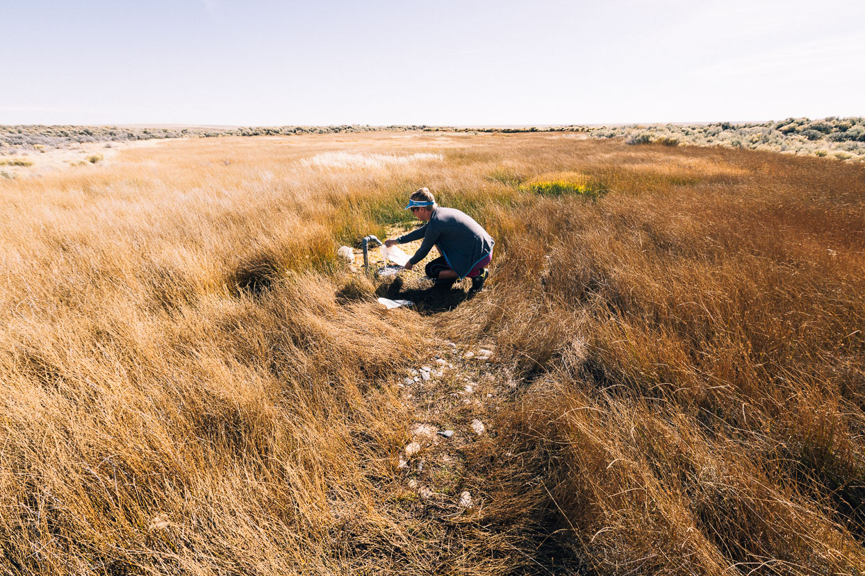
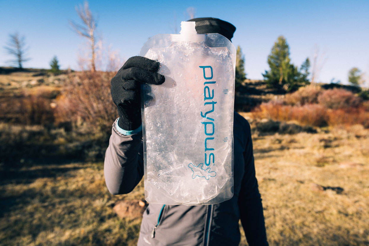
After a couple of hours we reached critical water station #1, a pipe spring. Fenced to keep animals out, this swamp featured a single piece of galv pipe, offering forth a steady flow of clear cold water. We filled to capacity. It would be the best we’d see until Rawlins, two nights away; the rest being animal-trampled puddles and pools with dung floating in them!
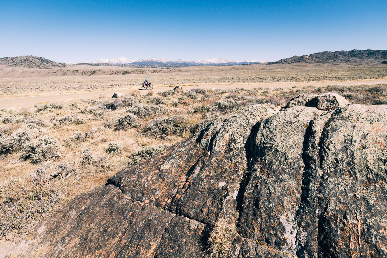
Gradually we pulled away from the Wind River Range – its granite peaks still capped with slowly melting snows from the last storm.
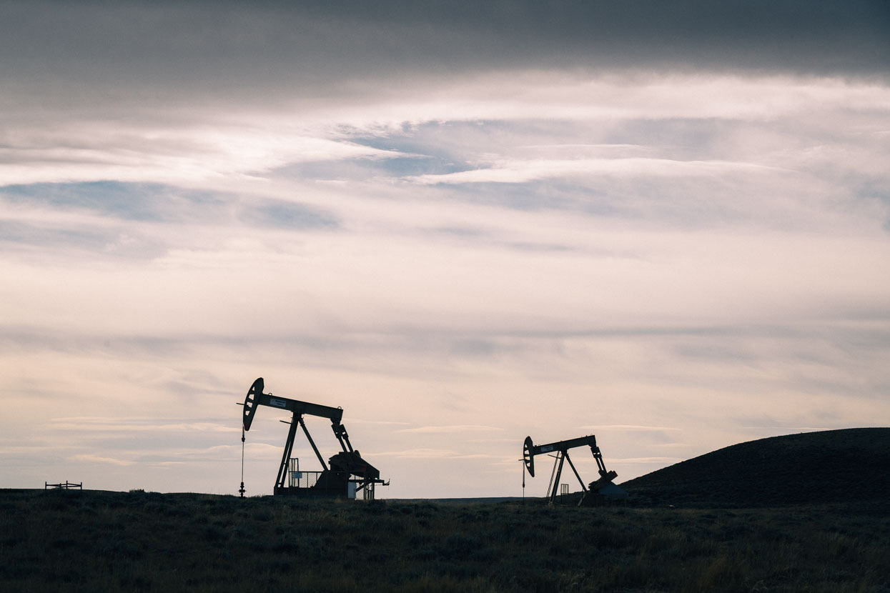
At the top of one hill pumpjacks silently worked oil from reservoirs deep below; clone-like animates that never stop.
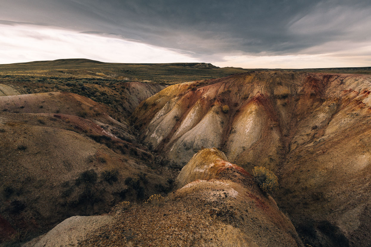
After one turn, the road deteriorated to bumpy double track and after riding this for a while we realised we’d strayed onto the Tour Divide route (race version of the Great Divide). Until now we’d been following the detailed GPX track for the TD, which we hadn’t realised separated from the Great Divide route, until the Colorado border, at this point. On the upside, the terrain we ended up on – skirting the rim of the Basin itself – was spectacular: wind and water eroded, colourful and remote feeling. Without resupply info though (the TD skips Rawlins) we decided to navigate back to the GD route via Stinking Springs Draw.
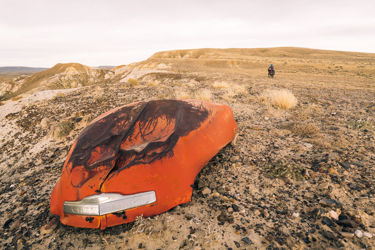
I wondered what story this old Chevrolet bonnet could tell, out here in the middle of nowhere.
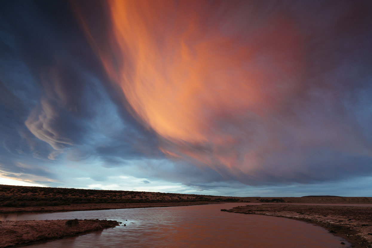
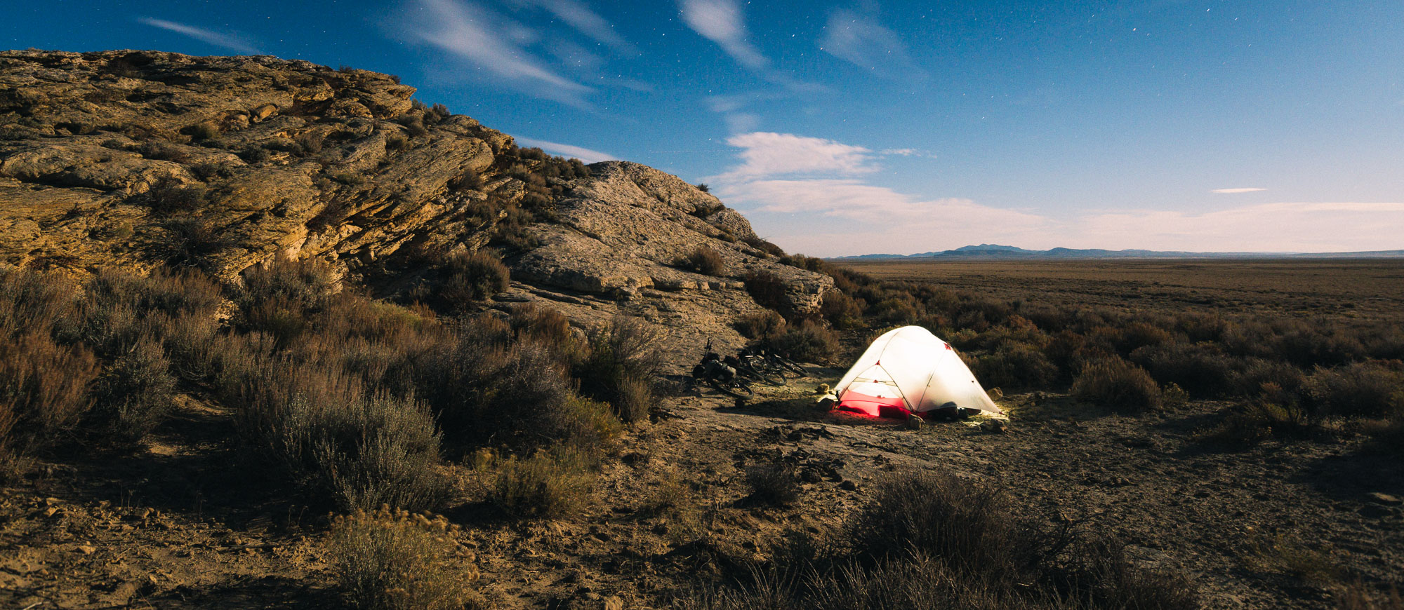
The wind had picked up through the day; cloud forming gigantic arches across the sky – harbingers of severe weather to come. And as we arrived at the crude dam at Stinking Springs Draw, a raging sunset coloured the sky as cloud morphed in the near gale.
Among the open sagebrush and gently rolling landscape shelter from the wind was sparse but the dam wall made a decent wind break.
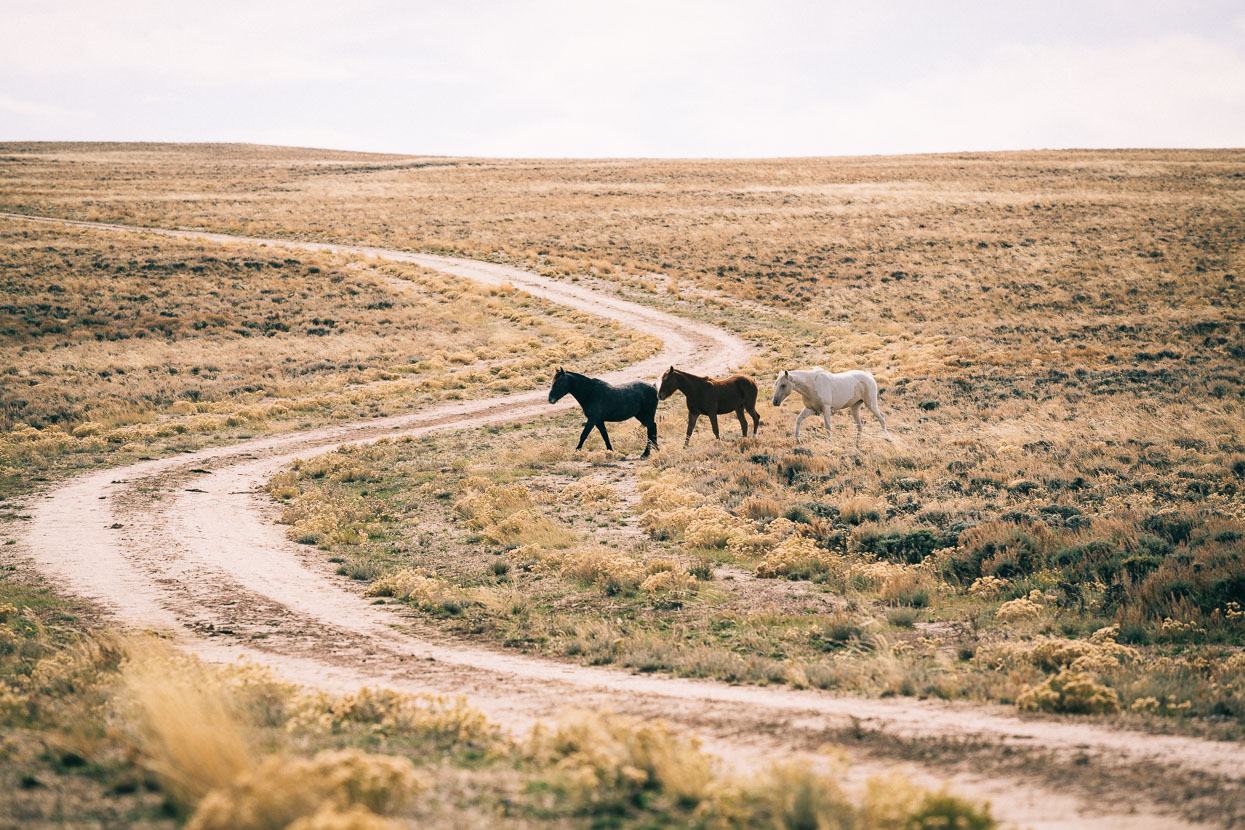
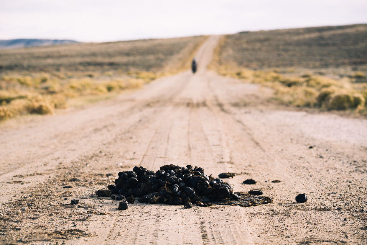
We rode off in the morning in vigorous side winds – catching our first sight of some of the many wild horses that graze the massive basin. The stallions leave huge piles of dung as a marker of territory.
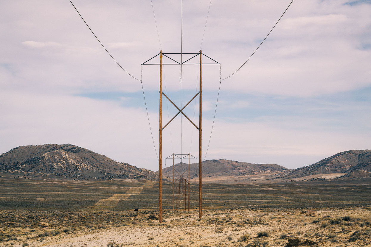
A pylon line and an abandoned cow camp. The human footprint on the basin is sparse, but hard to miss: between the pumpjacks, the bearing-straight exploration roads and the scar of the uranium mine on a nearby mountain, it’s hardly conservation land out there.
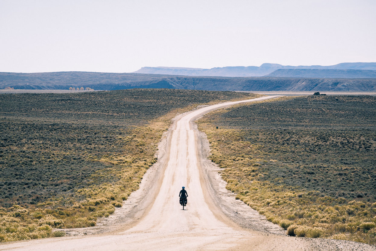
Day two on the basin was tough. The north-westerly wind slowed us to 6–10km/hour when we had to ride into it and it was impossible to hide from its buffeting in the open landscape. Fortunately we only had 30km of riding directly into it. The few junctions provided a visual break from the grind.
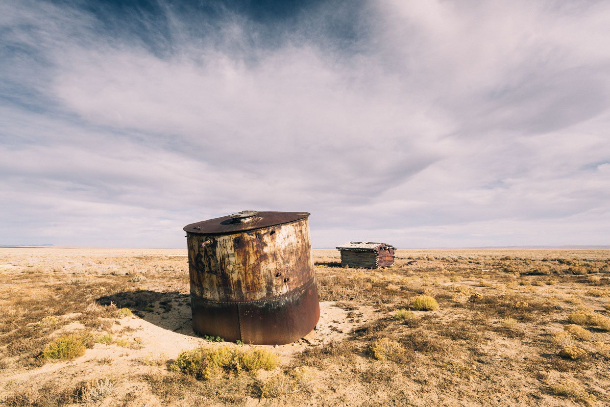
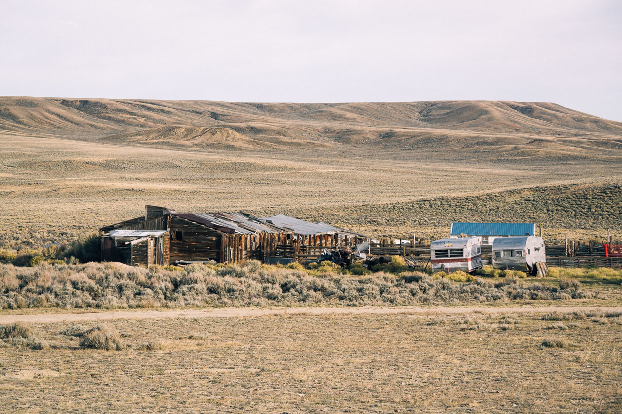
An abandoned cabin and water tank (converted into an animal shelter) near the junction with a paved, but virtually deserted, road.
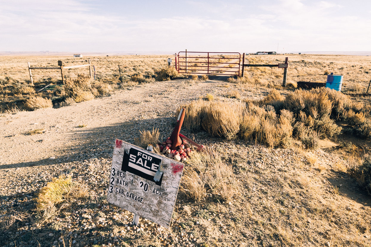
The only sign of permanent human habitation we passed en route to Rawlins.
A paved mining road leads towards highway 287, from there it’s another 25 km or so to Rawlins. The hematite (iron oxide) colouring of the hills is a defining feature of the area.
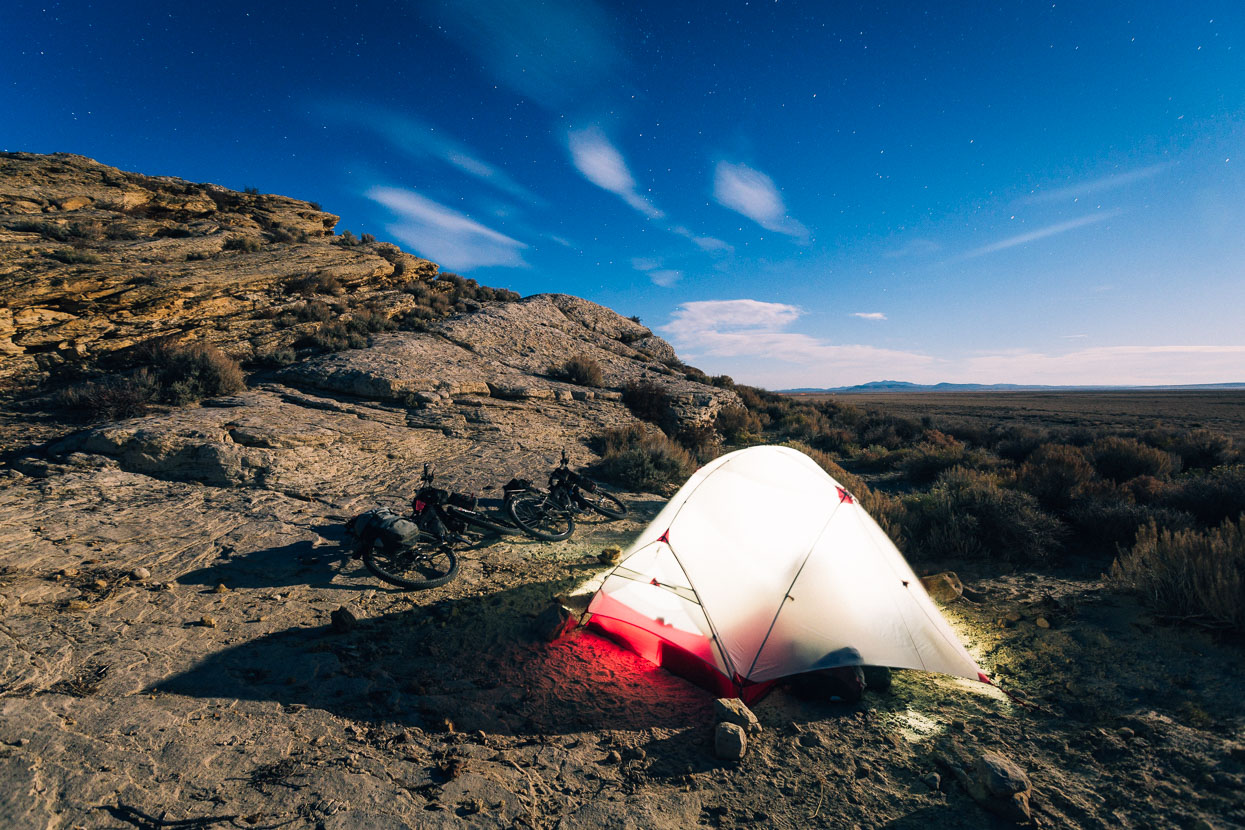
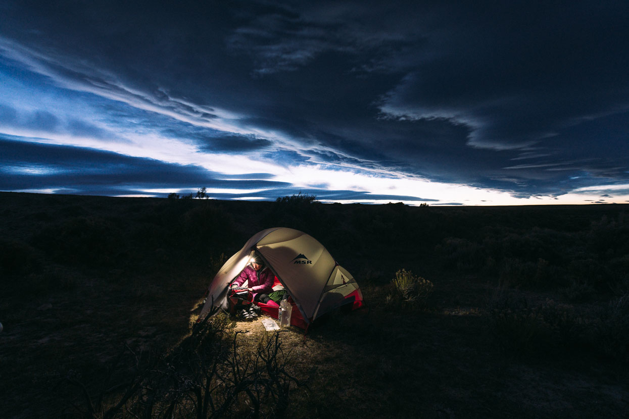
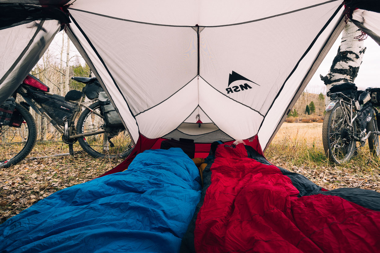
We stopped to camp right on the eastern fork of the Continental Divide just as the full moon rose. Never quite getting out of the wind, but enough for a comfortable night among the cactuses (the first we’d seen on the Great Divide route).
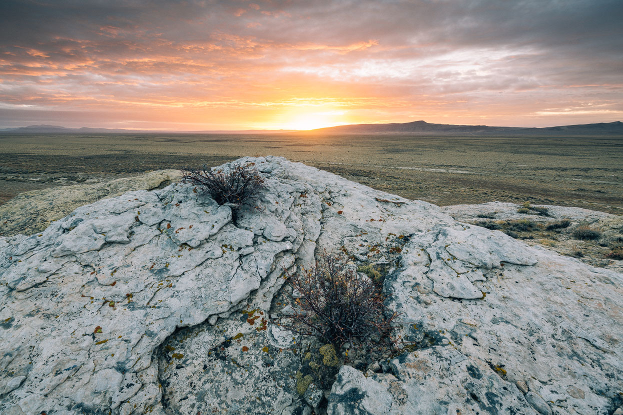
Dawn from the crest of the Divide.
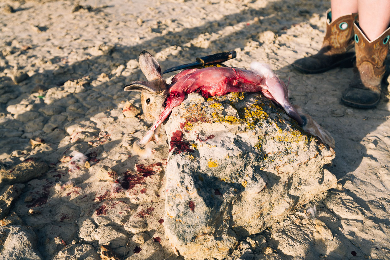
A passing truck, followed by gun shots a few moments later, caught our attention as we packed our panniers in the morning. A couple had driven out from Rawlins to shoot their winter supply of cottontail rabbits, skinning and gutting them on the spot.
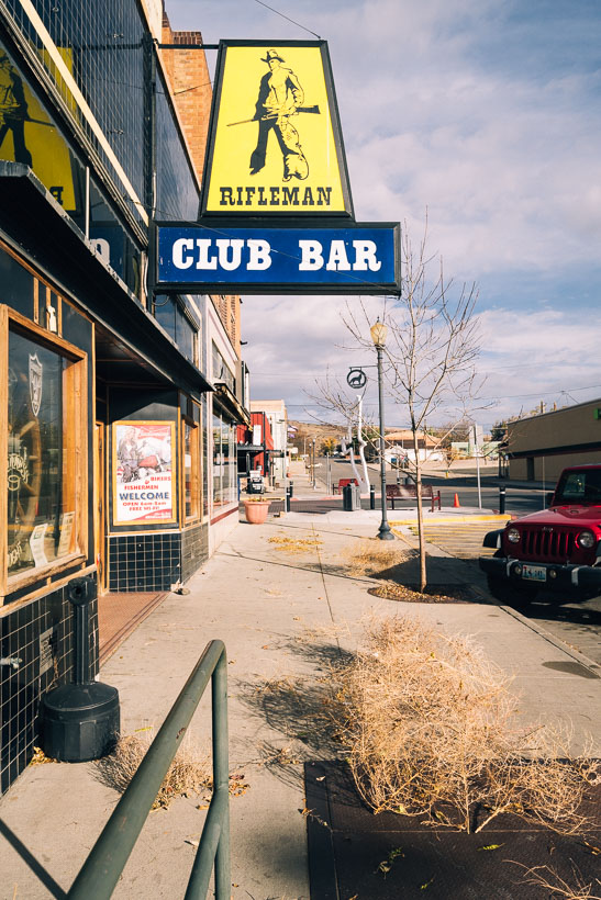
The gun-totin’ of the morning set the theme for the next couple of days. We rolled into Rawlins (pop 9000) for an early lunch. It was Saturday morning and the downtown streets were deserted. Tumbleweeds on the loose. We found the only open cafe and savoured our first non-cycling food in a few days, before going on the hunt for a cheap hotel room.
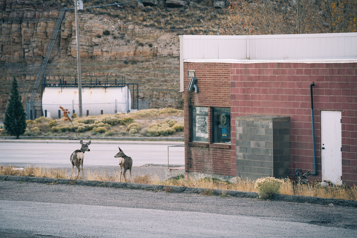
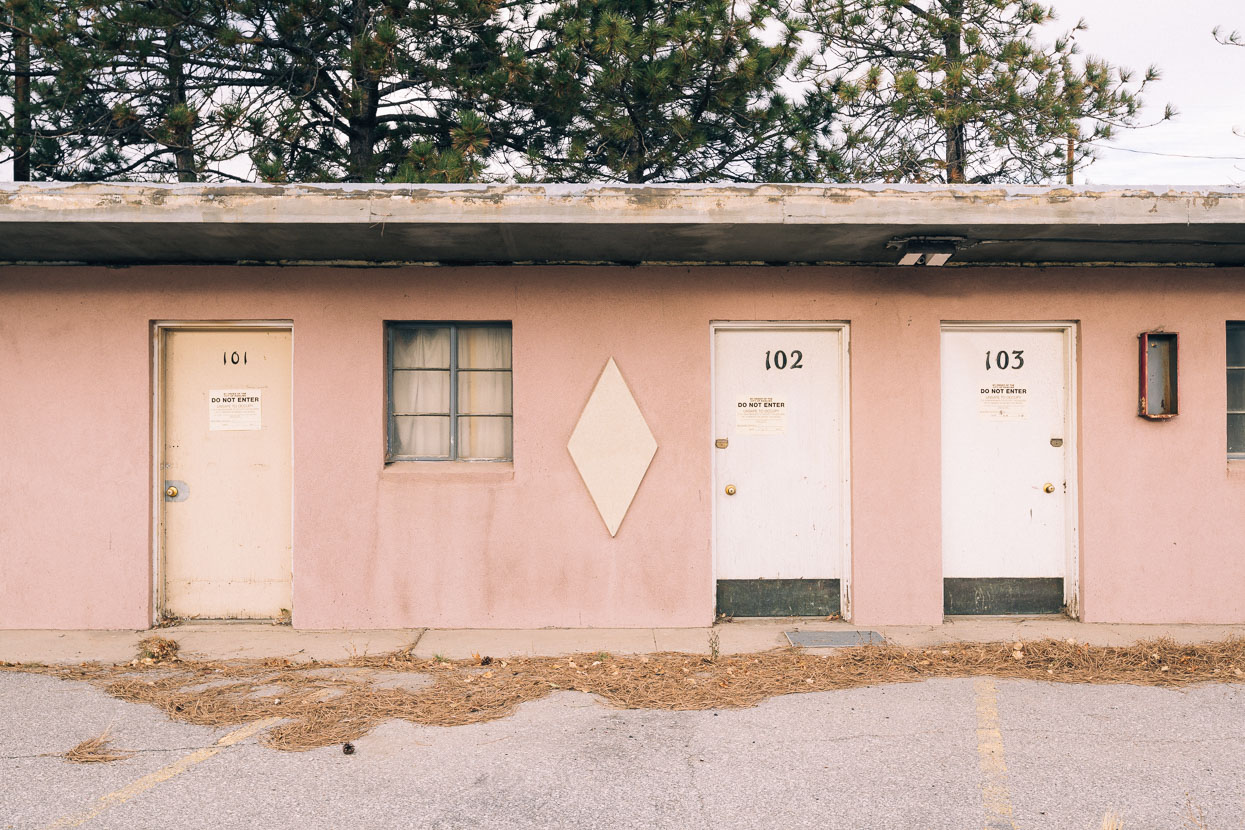
Like many other small towns we’ve passed through along the Continental Divide, abandonment seemed to be the theme in Rawlins. Deer wandered about, weeds grew in motel parking lots and dated signage adorned the streets. Oil workers and a large prison are Rawlin’s raison d’etre these days and as is a common theme with small town USA, chain retail and accommodation has shifted the focal points of townships and crushed independent businesses.
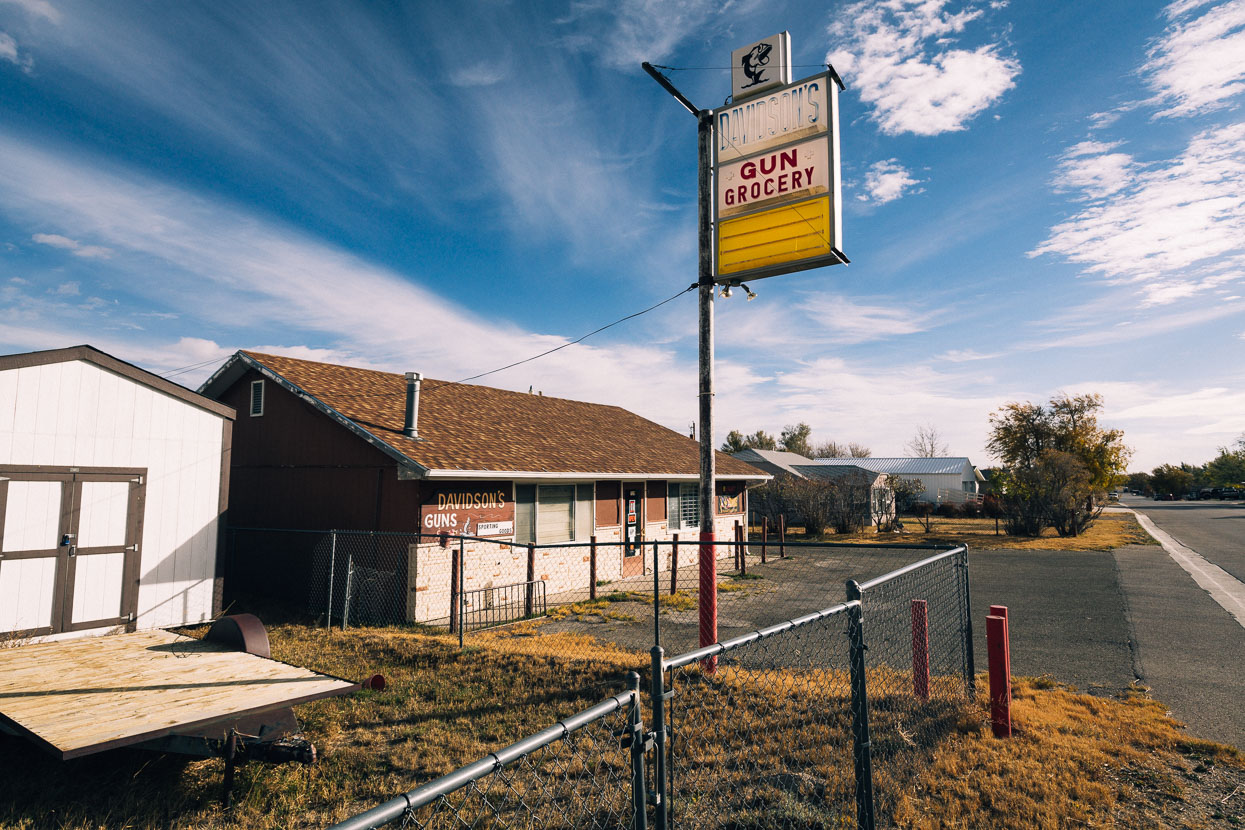
We were staggered to see this ‘Gun Grocery’ on a suburban street.

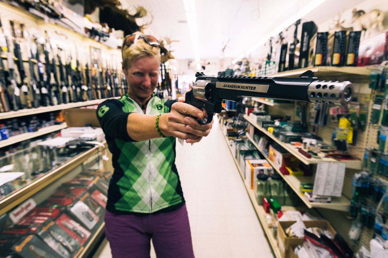
Of the independent businesses that were thriving in downtown, this sports store seemed to be one. We only went in for freeze-dried food, but came out with Magnum .44s.
Joking of course, but the friendly owner did encourage us to “Have a go holding whichever one you like”.
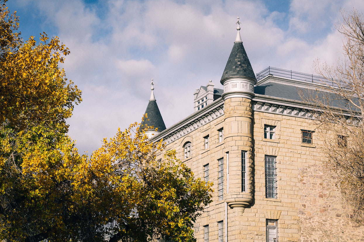
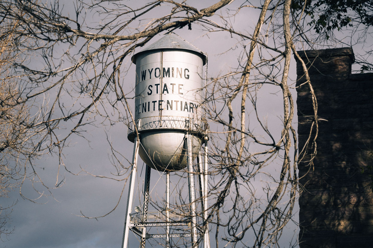
Some older buildings gave a sense of Rawlins’ previous architecture, notably the Wyoming Frontier Prison, just a short walk from downtown’s main street. Operational from 1901 until 1981 this building is open for tours. A new facility slightly out of town is a big employer.
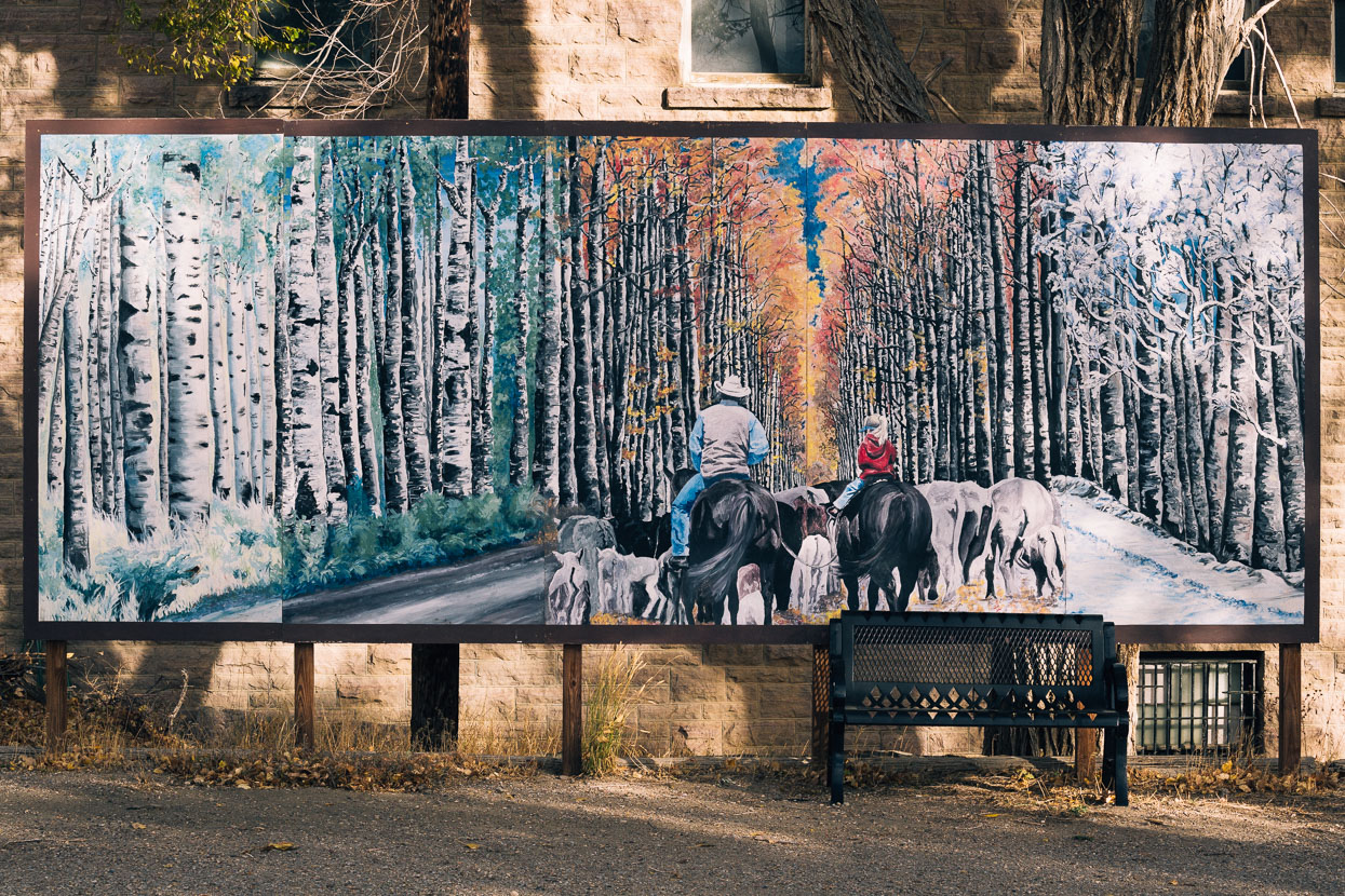
A mural of the famous Aspen Alley, a feature of the road we’d see for ourselves in a couple of days.
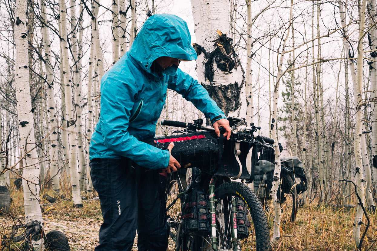
The strong winds continued as we got on the road the next day, forcing us to hide in the roadside ditch for lunch. A big fall storm was pounding the Pacific North West; the edge of that depression bringing some wild winds to the inland states.
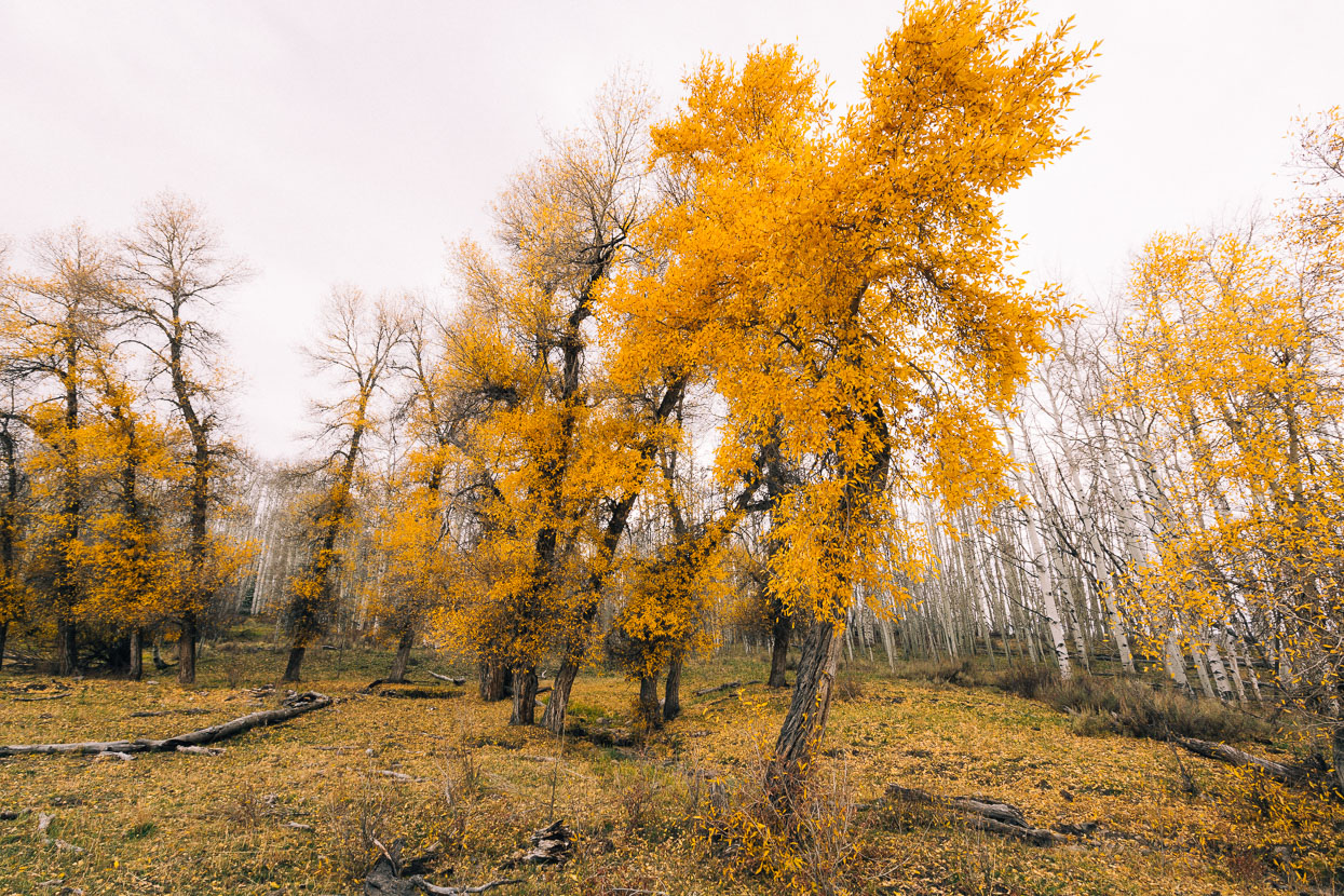
Aspen and cottonwood near Little Sandstone Creek, Medicine Bow National Forest.
We made camp at Little Sandstone Creek our first night out of Rawlins. It was the opening day of elk hunting season and the road had been busy all day with hunters’ trucks, and nearly every pull-in and camping spot occupied with their trailers, trucks and quad bikes. After being used to New Zealand hunters, hunters here are a different breed. Tent camping seems rare (given the cold temps), and they are much more mechanised: driving to and fro from camp on their quads and side-by-sides, never seeming to actually walk anywhere.
Evening had been calm, but sometime in the early morning very strong winds kicked in, and by daybreak snowflakes and light hail were falling. We packed up and got on the road, knowing we had a few kilometres more at this elevation before dropping 500 metres into a valley, where we reasoned it might be slightly warmer and maybe not snowing.
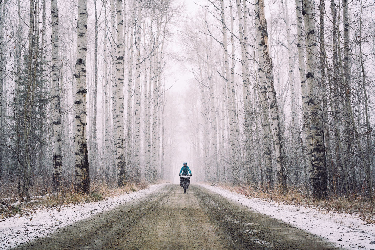
Aspen Alley came shortly after camp, and the snow was building up on the road and trees by then.
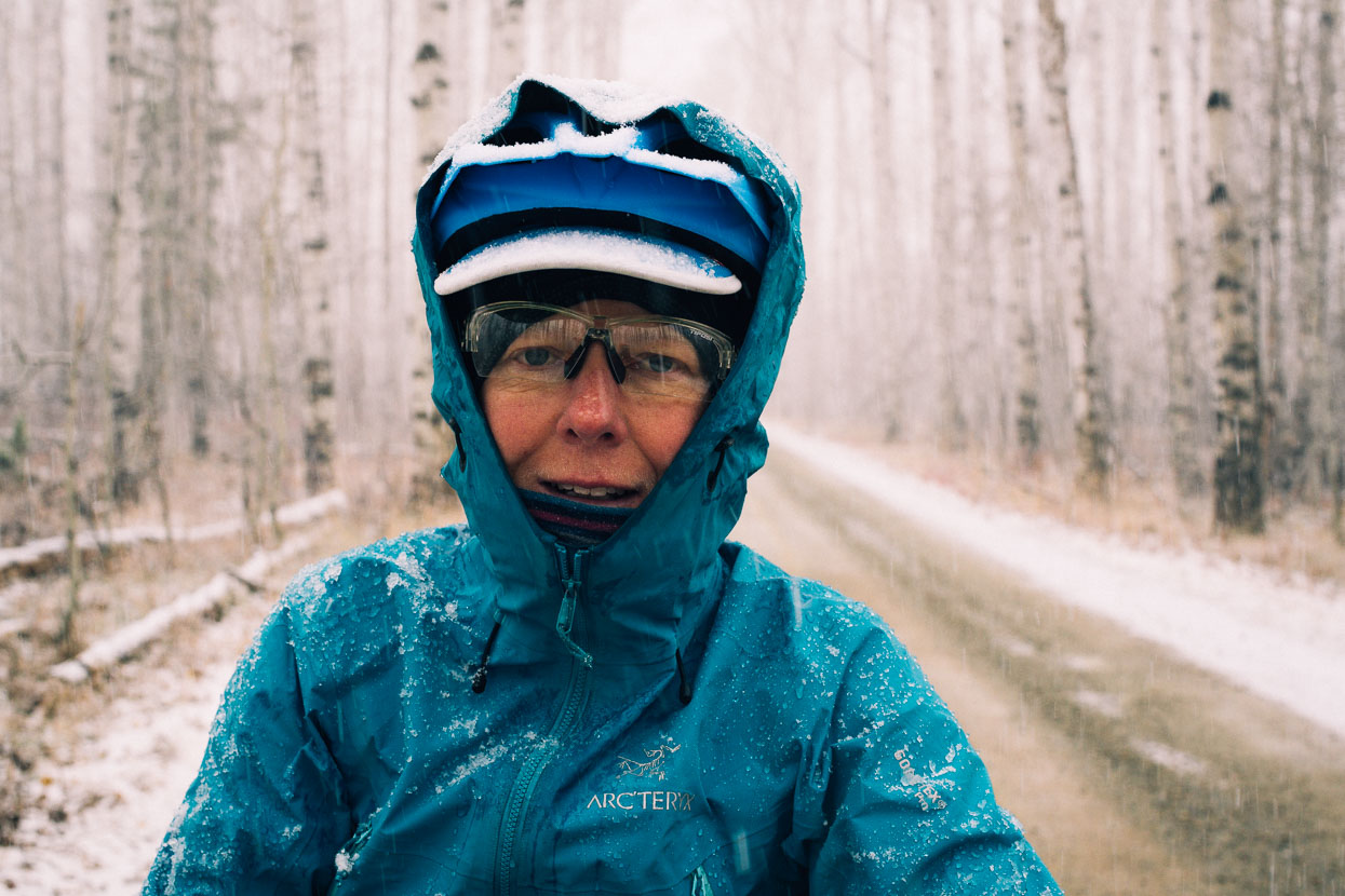
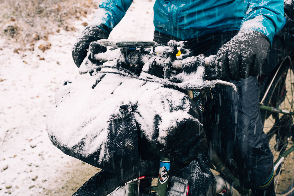
and on our bikes and bodies… By the time we made the highway a few kilometres on, snow was falling heavily, covering us in several centimetres and freezing us as we rode along. The highway dropped downhill for 20km, but only gradually so we were riding fast enough to cop the wind chill but not fast enough to raise our body temperatures so by the time we got to the valley floor we were chilled to the core. It was less windy down there but the snow still fell and we were wet through and keen to find shelter as soon as possible. The GDMBR map showed a ranch that provided accommodation, so we aimed for that, and after grovelling on for eight more kilometres (without warming up) we knocked on the door of Ladder Ranch, who were happy to take a couple of cold and bedraggled cyclists in for the night.
The ranch provides accommodation and meals (you share meal times with the ranch staff) throughout the cycling season, and made a great stop. They have operated this site on the Colorado/Wyoming border for six generations and run one of the longest stock migrations in the USA; during fall using Peruvian shepherds to walk their sheep from the surrounding forests right out to the Red Desert for winter grazing.
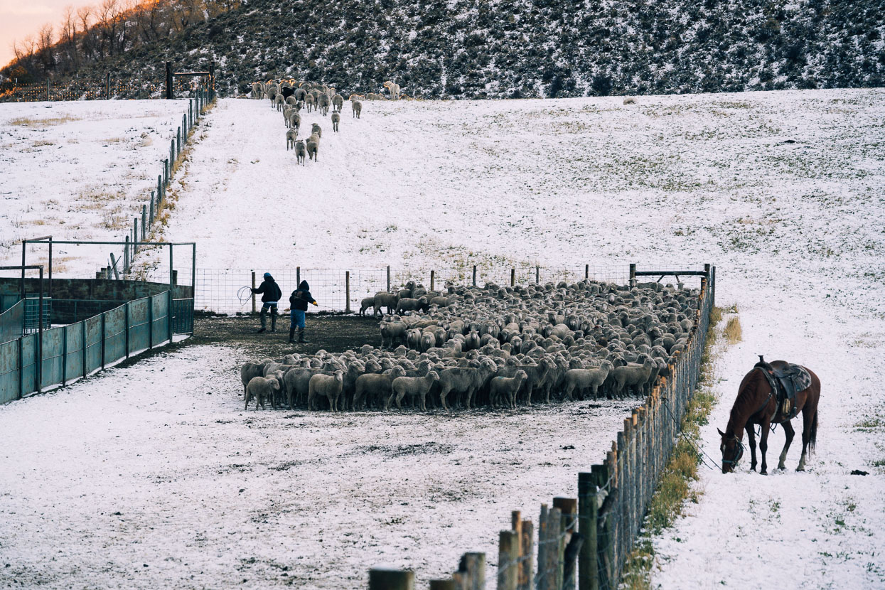
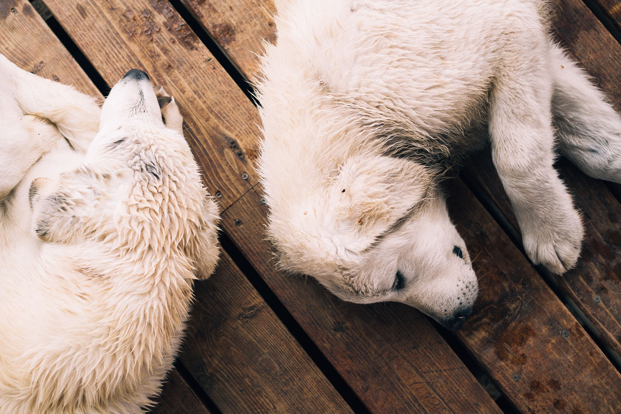
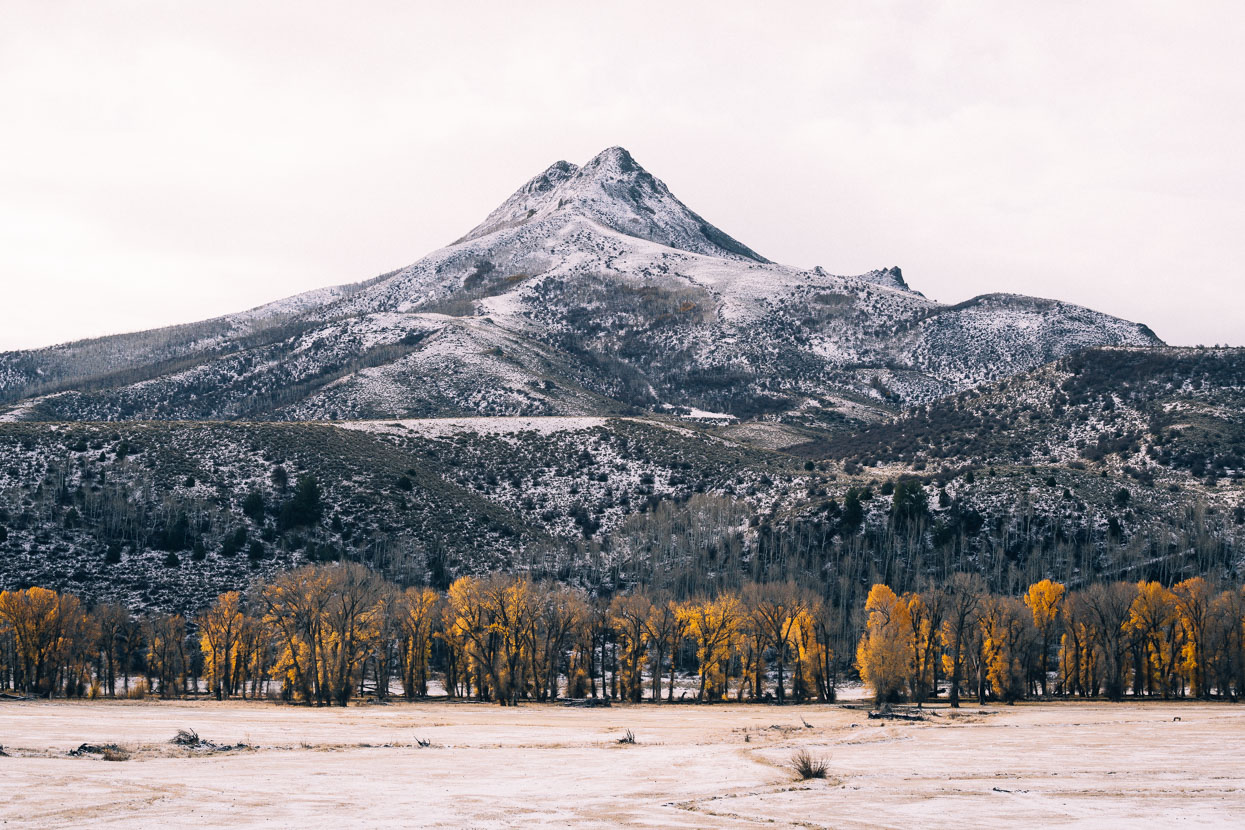
New recruits for sheep duty: Maremma sheepdog pups, and Squaw Mountain on the Little Snake River.
Thanks to Biomaxa and Revelate Designs for supporting Alaska to Argentina.


Hey Mark and Hannah, We’re following with great interest. And we remember Atlantic City and Rawlins well! Good luck with those hunters. Happy trails. Matt and Anna
Thanks Matt and Anna – we loved it out there – such a diverse journey on the Great Divide. More from us soon hopefully!
I spent this rainy day in Oregon reading your entire blog. Your photos are the best ever. I have enjoyed the journey and look forward to your next post. You have me convinced that fall is the best time to be on the GDMBR. I am hoping to start knocking it off section by section next year. Take care and keep riding and taking amazing shots. Jolene
Thanks for the kind words Jolene and glad you enjoyed the journey. Fall was an amazing time to be on the trail – so few people (we saw one other biker!) but we must admit we reckon we were lucky with the weather/snow – don’t leave it too late! More posts soon… 🙂