
23rd–31st April 2024.
Nine days of tramping and hut bagging in the Central Westland back country.
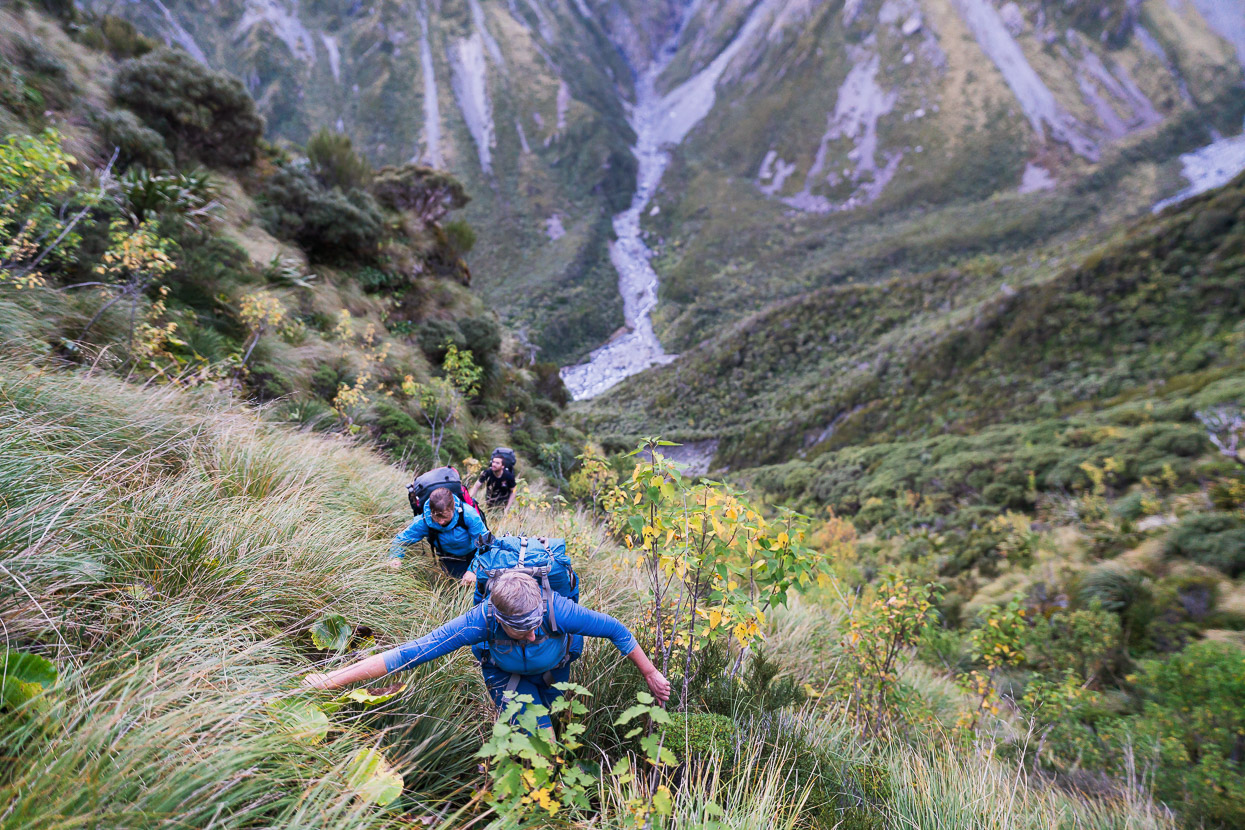
As previous readers of my blog posts about tramping might recall, Easter trips into the Central Westland mountains have become something of a tradition for us. This time we had the luxury of the week prior to Easter weekend to make use of too. The theme of this trip came to be to try to reach a couple of remote huts in the Hokitika River catchments, as well as making two crossings of the Main Divide. We had 9.5 days to utilise, which would give us some flexibility when it came to the region’s notoriously wet weather. For a trip of that length in these ranges, at that time of the year, a storm or two is a near certainty. There are many unbridged streams and rivers, and a good deal of the travel requires tramping along the edge of riverbeds, which can be impossible when rivers are high. We planned in some long days, as well as a couple of short ones, and one full day off, to allow for flexibility with the plan in case of bad weather, or other unforeseen circumstances.
Our plan was to enter the ranges via the Styx Valley, and exit at the Whitcombe River, the itinerary being Styx River – Styx Saddle – Browning Pass – Wilberforce River – Griffiths Stream – Hokitika Saddle – Mungo Valley – Homeward Ridge – Sir Robert Creek – Hokitika River – Diedrichs Range – Gerhardt Spur.
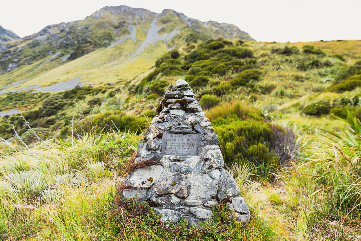
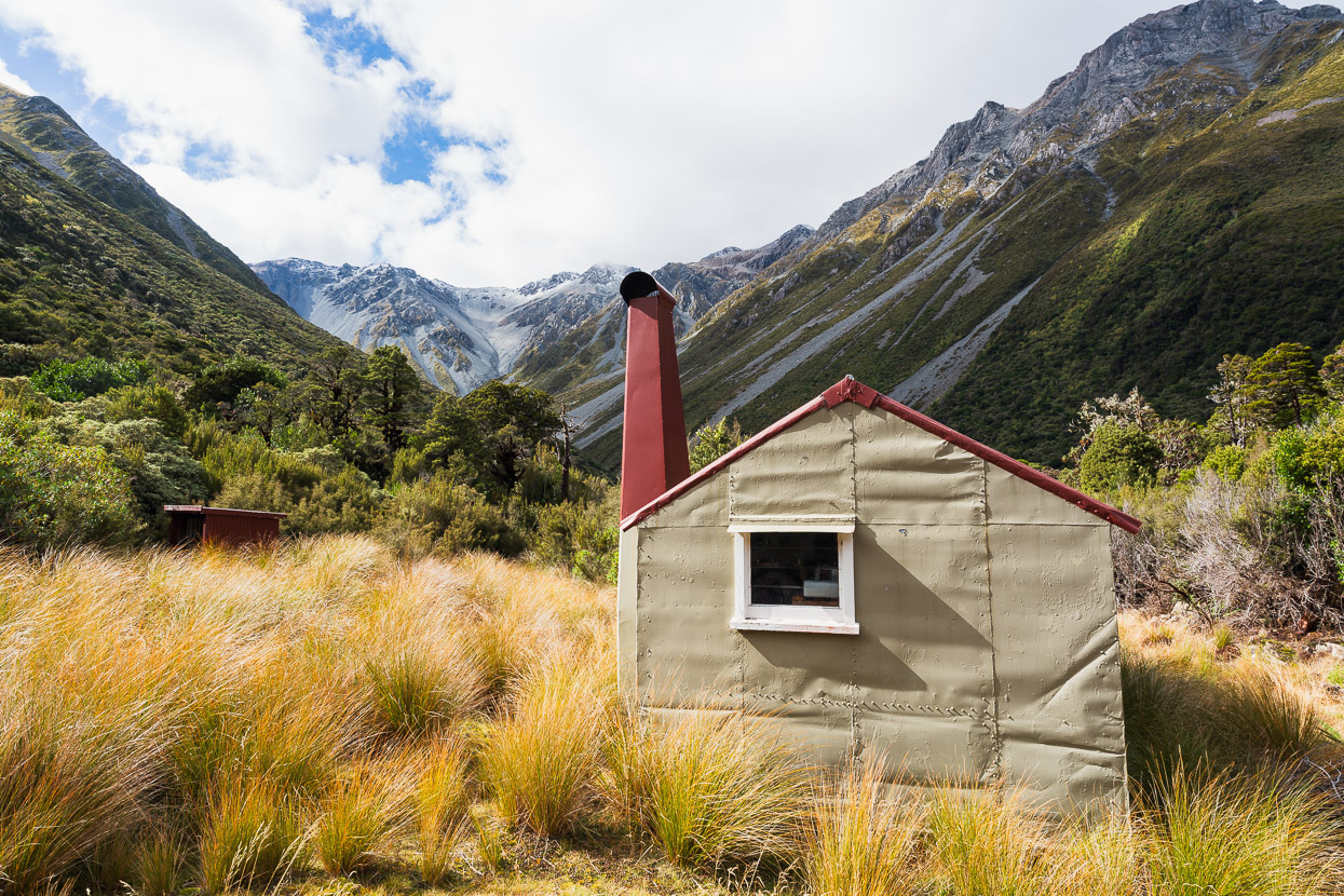
The objective huts were Mungo, Sir Robert and Frisco, all former NZFS deer cullers huts. We’d been to Mungo before, but had arrived in the dark and left at dawn, so we wanted to have a chance to savour this special place this time. Sir Robert Hut is one of the least visited huts in New Zealand, and was the main prize we sought, along with the opportunity to travel through some rugged and beautiful country. If we could fit Frisco Hut (on the flanks of the Diedrich Range) in too, and exit via the range as well, that would be a bonus.
As it was, we achieved most of the plan, but sadly Hana developed a tooth infection about half way through the trip, so we choose to exit a day early via Frew Saddle and the Whitcombe Valley, rather than via Frisco and the Diedrich Range.
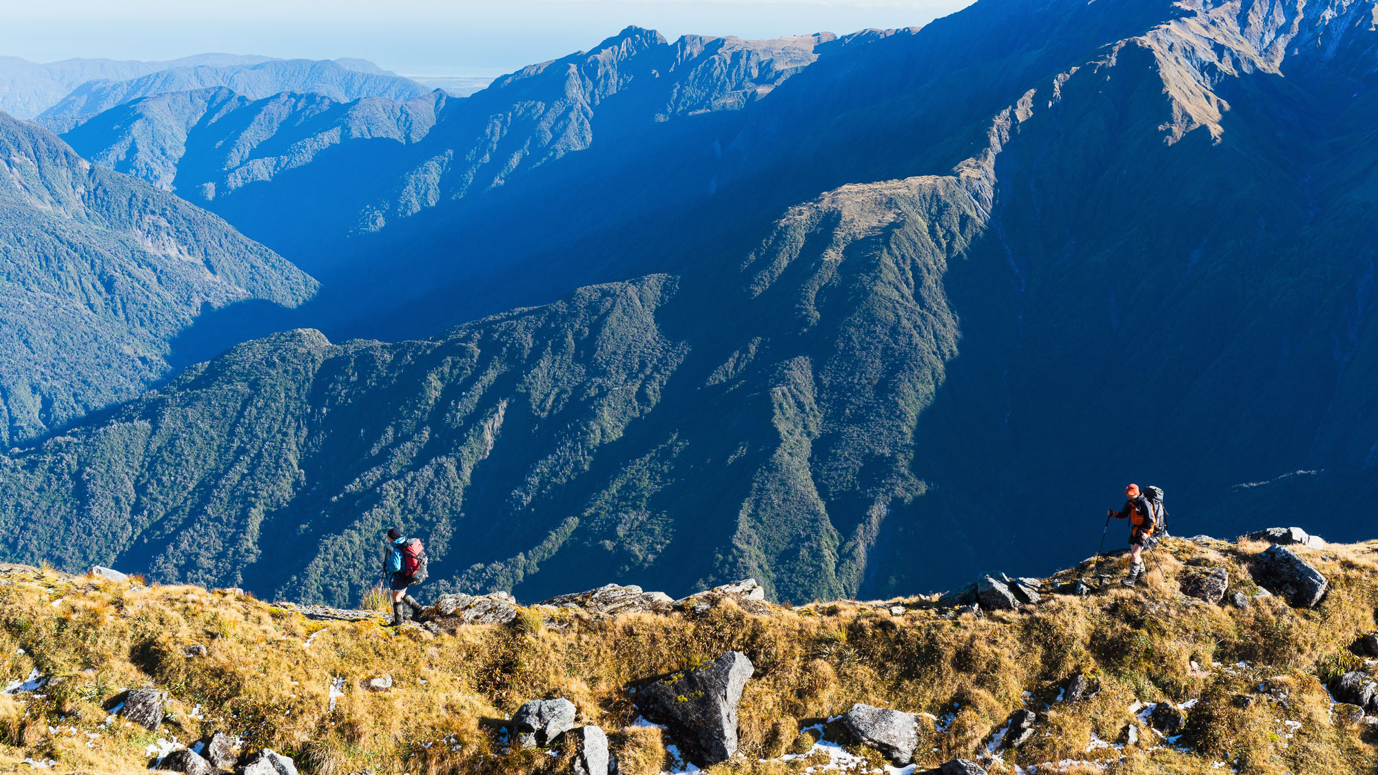
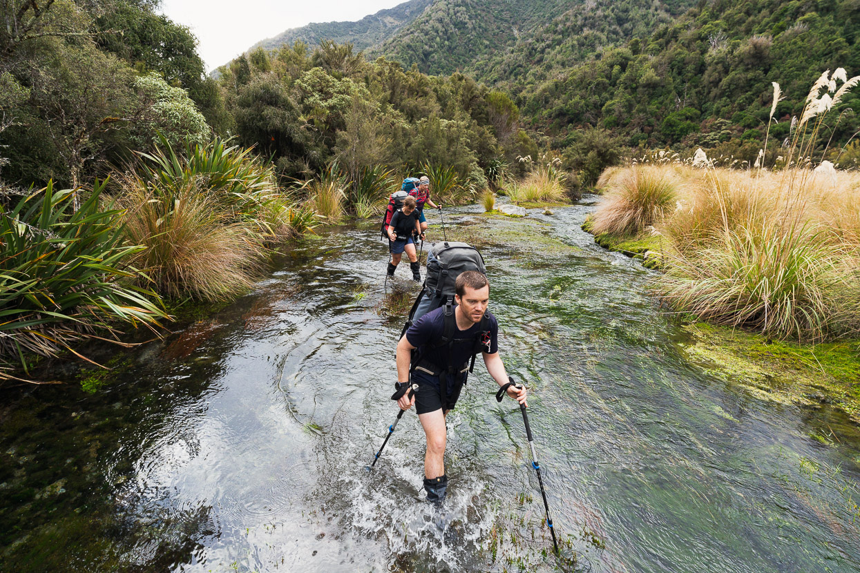
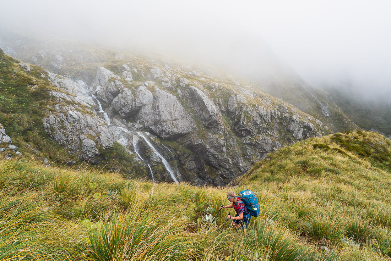
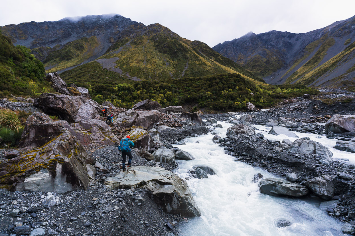
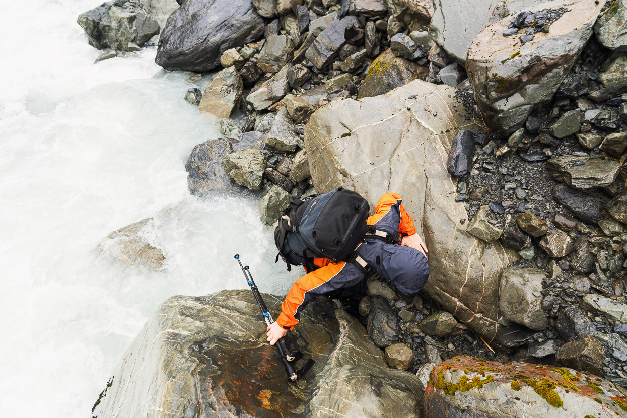
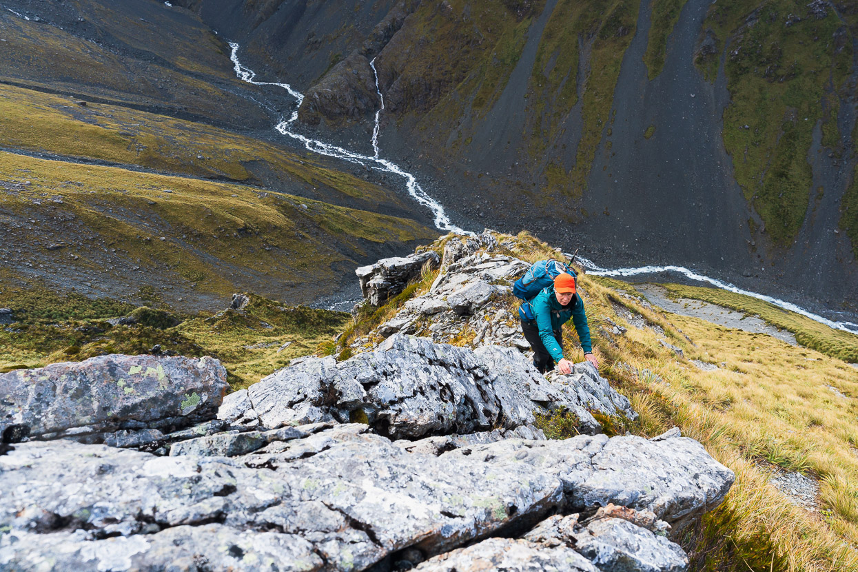
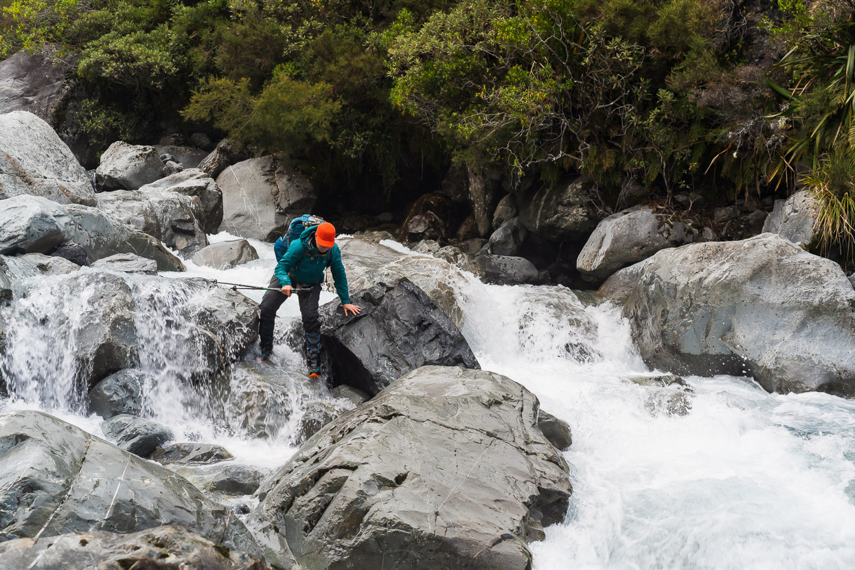
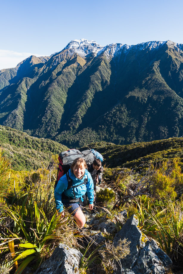
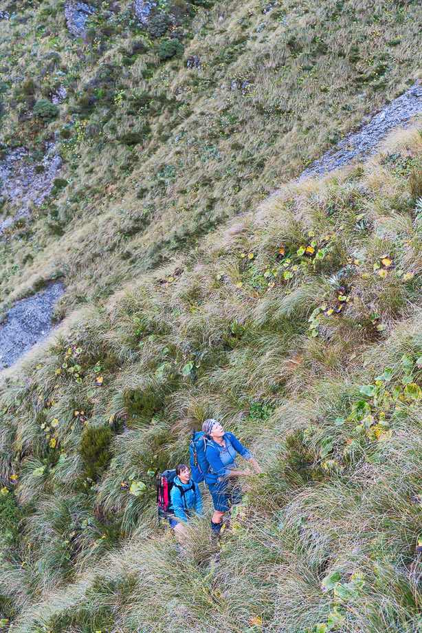
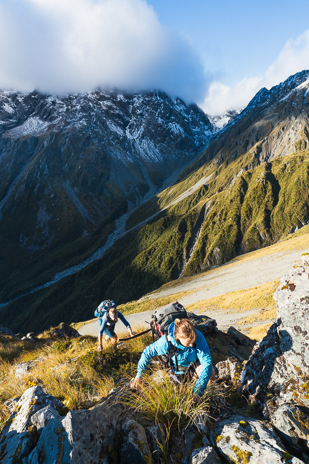
After dropping our car at the Hokitika Gorge (Whitcombe River) carpark we got a shuttle over to the Styx and started up the true right. DoC have realigned the track to the true left of the river, partway up the valley, but we were curious to see if the, theoretically, more direct true right would still go. It didn’t. Following the remains of the old pack track we came to a collapsed and impassable section and had to backtrack to a suitable crossing to get onto the track on the TL. This photo is taken on a good bit of the old TR pack track.
Much of the travel remains in the riverbed anyway.
About a kilometre past Tyndall Creek we crossed back to the true right, and from there to Grassy Flat Hut much of the travel was on the old pack track.
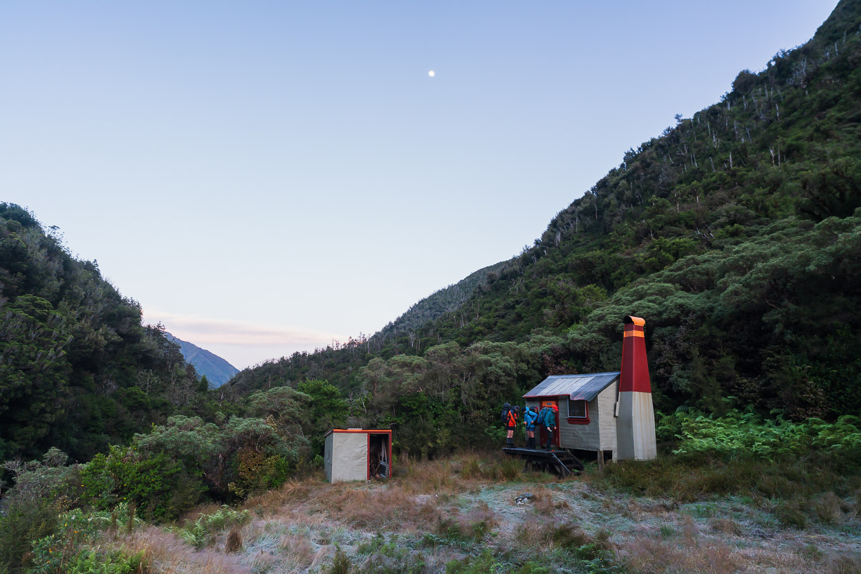
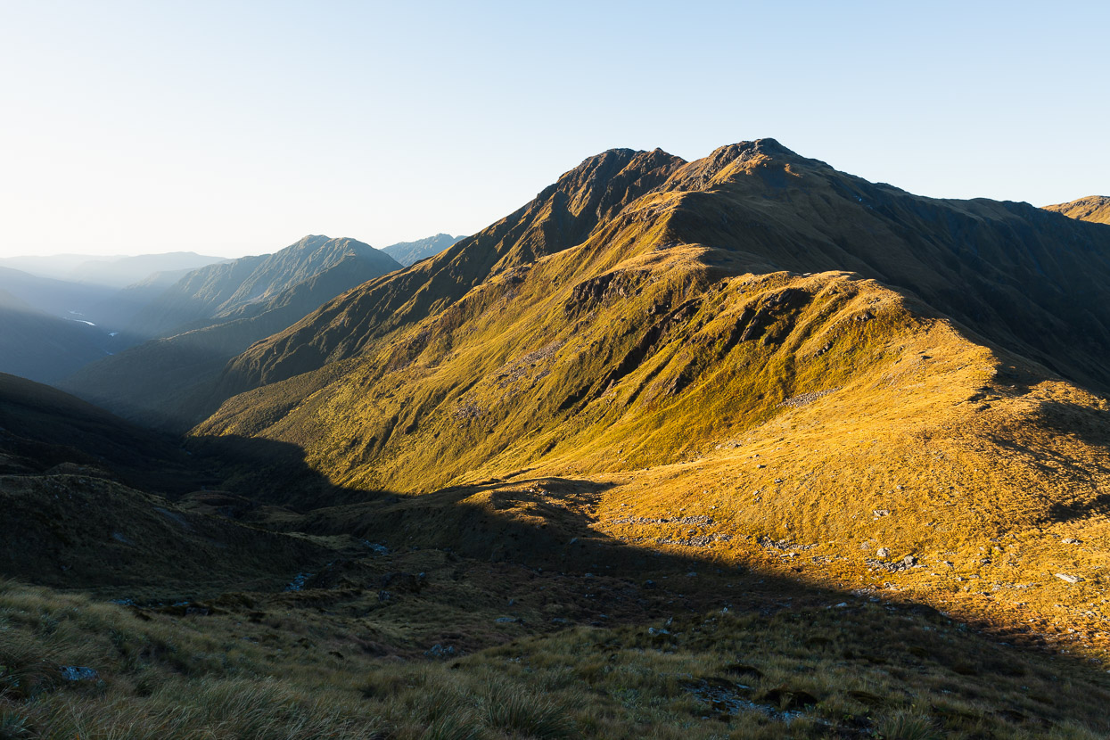
We didn’t stop long at Grassy Flat Hut – just enough for a quick bite to eat and some water. The plan was to push on and camp on Styx Saddle, which would give us plenty of time to reach Park Morpeth Hut on the other side of Browning Pass. Originally we’d planned to camp by the lake on Browning Pass, but heavy rain and severe gale winds were forecast for the night we’d be there.
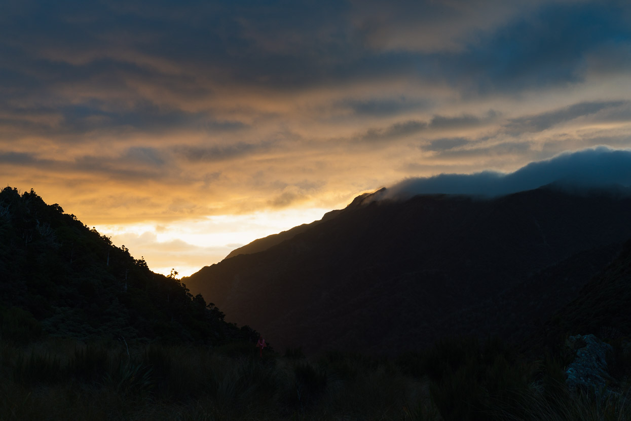
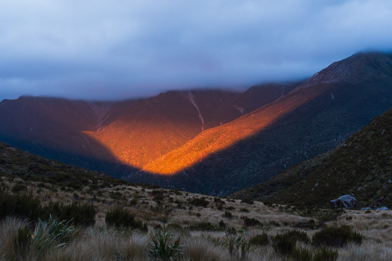
By the time we reached Styx Saddle the sun had set and it was by torchlight that we searched for a couple of tent sites among the thick and swampy tussock. Although clear and flat spots are in short supply, it was a really nice spot to camp for our first evening in the hills, with an abundance of bird calls from kea, weka and smaller birds. The night was warm.
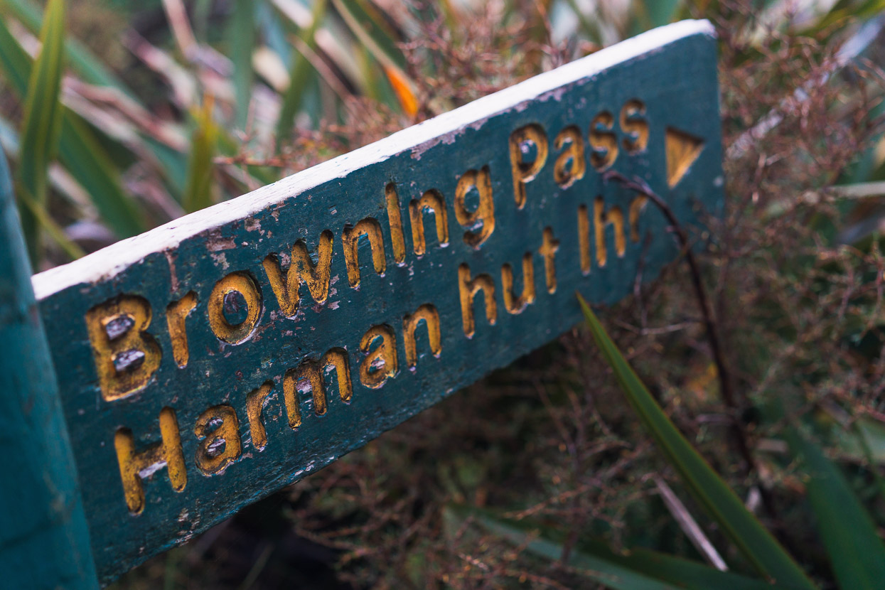
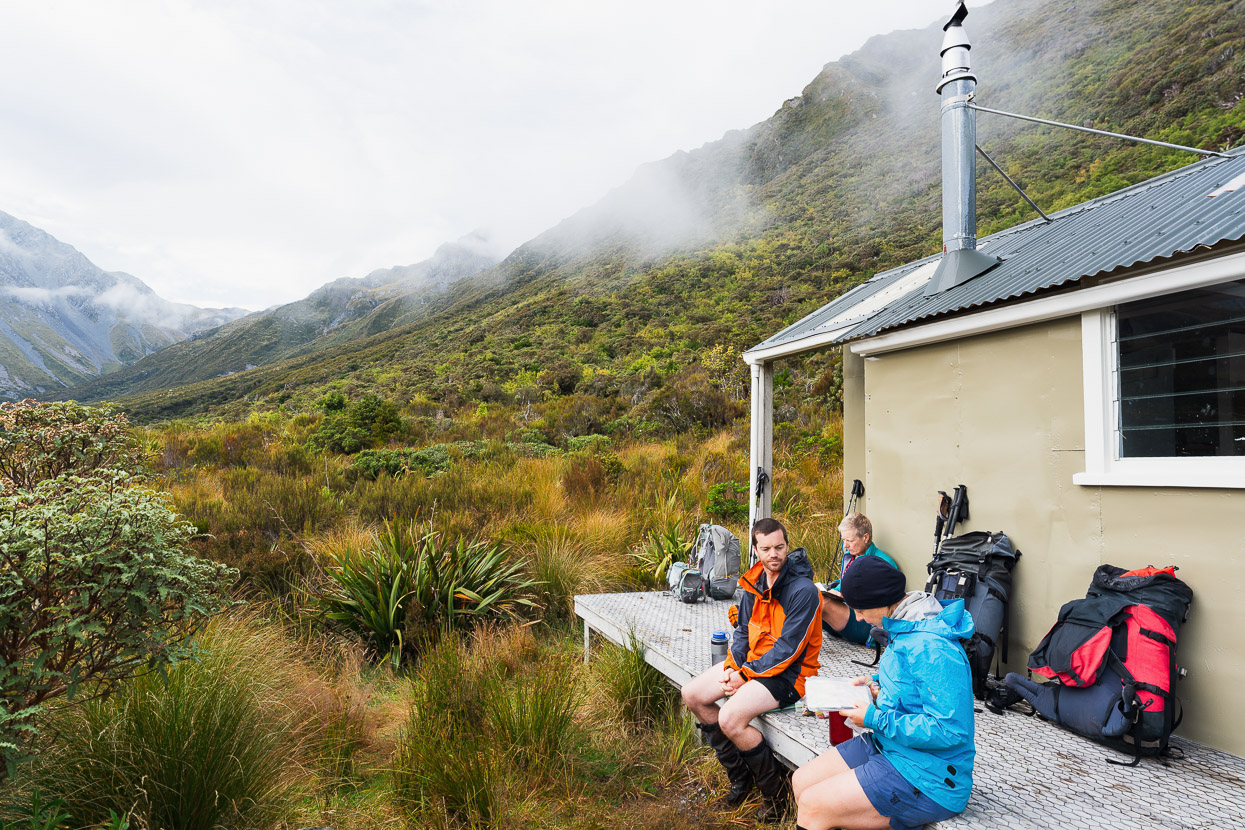
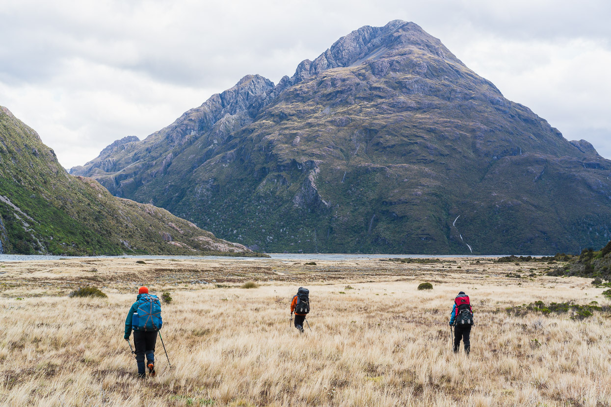
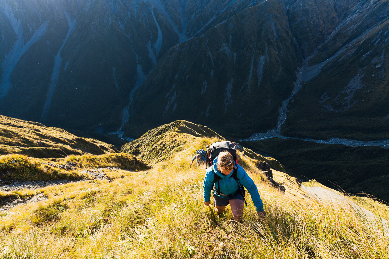
We were away soon after first light and at Harman Hut in time for morning tea. Most of the walking remained on the old pack track, into the sub alpine zone, and we seemed to have the hills to ourselves.
After the hut there is some riverbed travel.
And then the route climbs steeply to Browning Pass on a poled track.
I’d never crossed the 1400m Nōti Raureka/Browning Pass before, so it made a great spot to pause for lunch as we soaked up the views and ambience of this special place. Prior to European settlement the pass was used by Maori as a pounamu (greenstone) trade route, but later fell into disuse in favour of less exposed routes. Around the mid 1860s settlers created a stock driving track over the pass to supply goldminers on the West Coast with fresh meat from farms in Canterbury. Later there were calls to develop a road over the pass, but this idea was abandoned in favour of Arthur’s Pass.
After lunch we crossed the final highpoint of the pass and descended steeply down the Canterbury side of the Main Divide into the Wilberforce Valley. Lower down some long switchbacks still remain from the 160 year old bridle path.
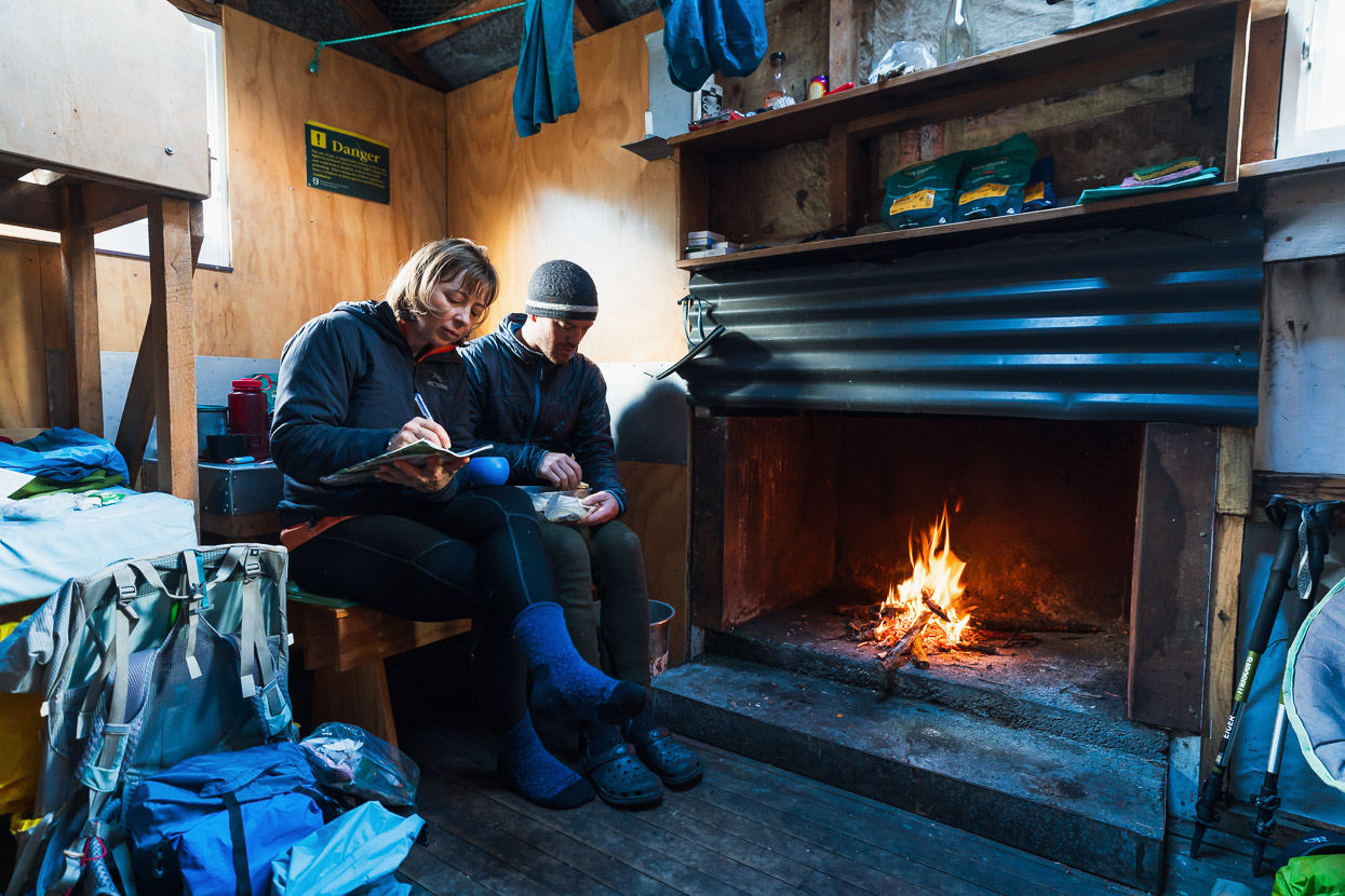
Not long after we reached Park Morpeth Hut the rain started, and it poured most of the night, raising the rivers around us to a roar. That night we had the company of three hunters who were in the hills for a few days.
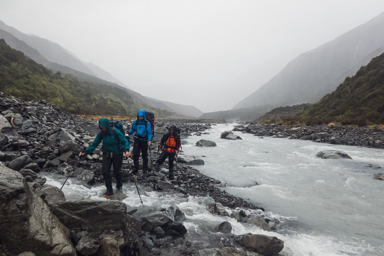
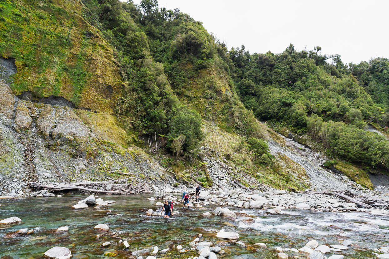
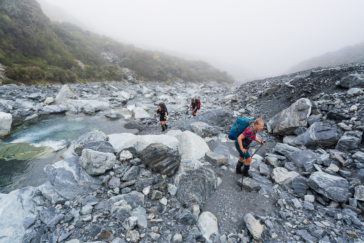
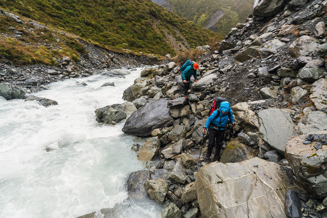
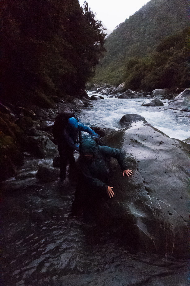
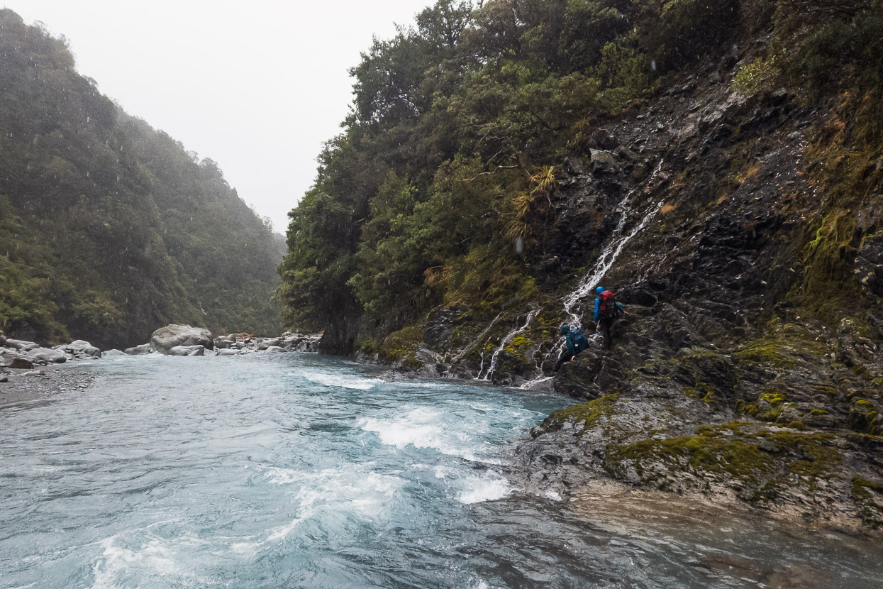
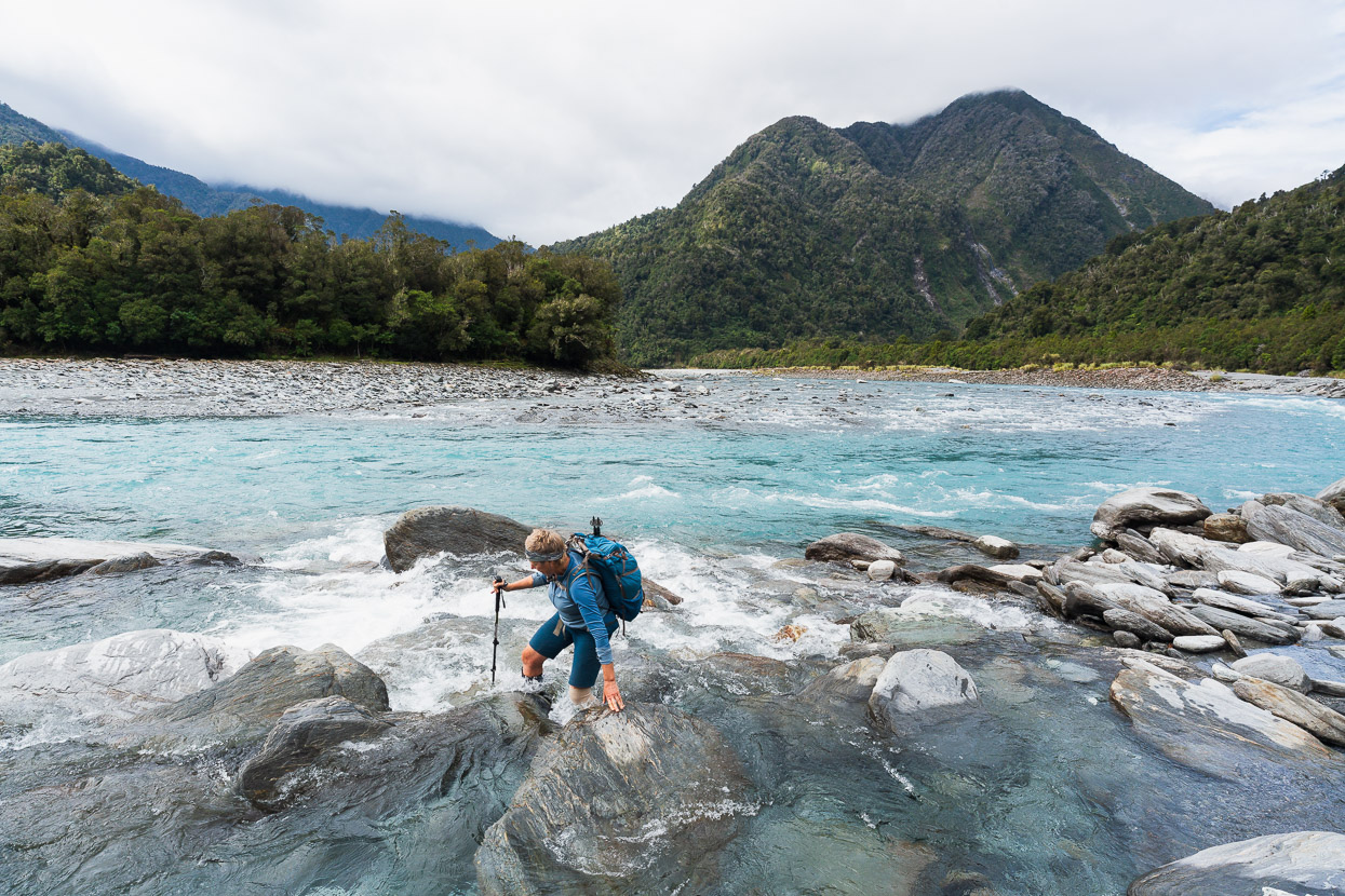
The rain did ease around dawn, and was forecast to stop in the afternoon, so we decided to sleep a little longer in order for the rivers to hopefully begin to drop. We were able to cross the Wilberforce opposite the hut, but after an hour and a half we reached Gifford Stream, which was too high and dirty for us to attempt.
We spent about half an hour walking upstream and considering different crossing points, but in the end gave up and pitched James and Anna’s fly by the scrub edge for some shelter from the cold wind. The rain continued to ease while we ate lunch and napped, and 5 hours later we emerged for another look. It had dropped a foot in that time and with the four of us linked up we got across.
Beyond the crossing travel was fast down the river flats towards Urquharts Hut. I’ve spent little time in the headwaters of the big Canterbury valleys, generally preferring other regions for my tramping and climbing, but we all enjoyed having a different perspective on our ‘back yard’. There is much evidence of glaciation and the abrupt rise of the peaks from the valley floors is impressive.
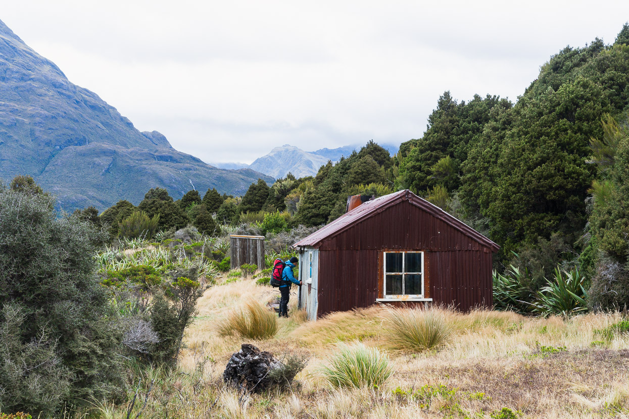
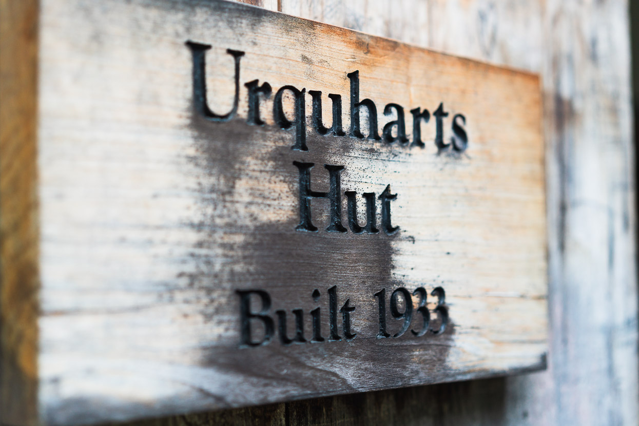
We’d lost a lot of time waiting for the river to drop so after a brief stop at Urquharts Hut we carried on. Our original intention for this day had been to get close to the base of Hokitika Saddle (via Griffiths Stream), but the day was drawing to a close as we rounded the corner past the Wilberforce-Griffiths confluence and began walking upstream.
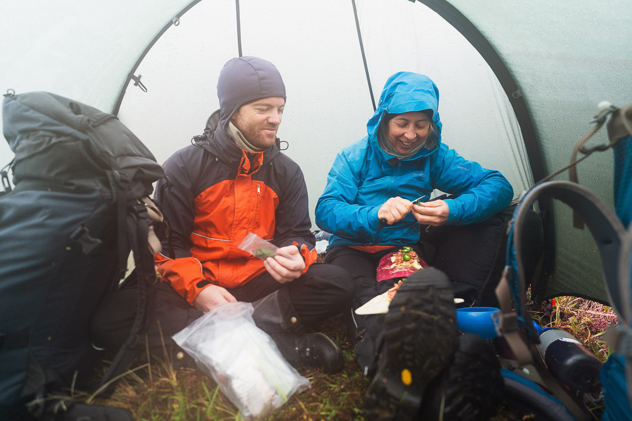
Given the earlier rain and the size of its catchment, we were not even sure if we’d be able to cross Griffiths. So it was with some relief we easily made it to the TR of the stream, which was where we needed to be to travel upstream. The InReach had informed us that there was going to be more heavy rain overnight, so it was good to be on the right side at least. We considered pushing on for a while, but when we saw a relatively wind-sheltered campsite 2km up from the confluence, we took it. This was a good call, because it started to rain steadily just as we finished pitching the tents and settling into camp.
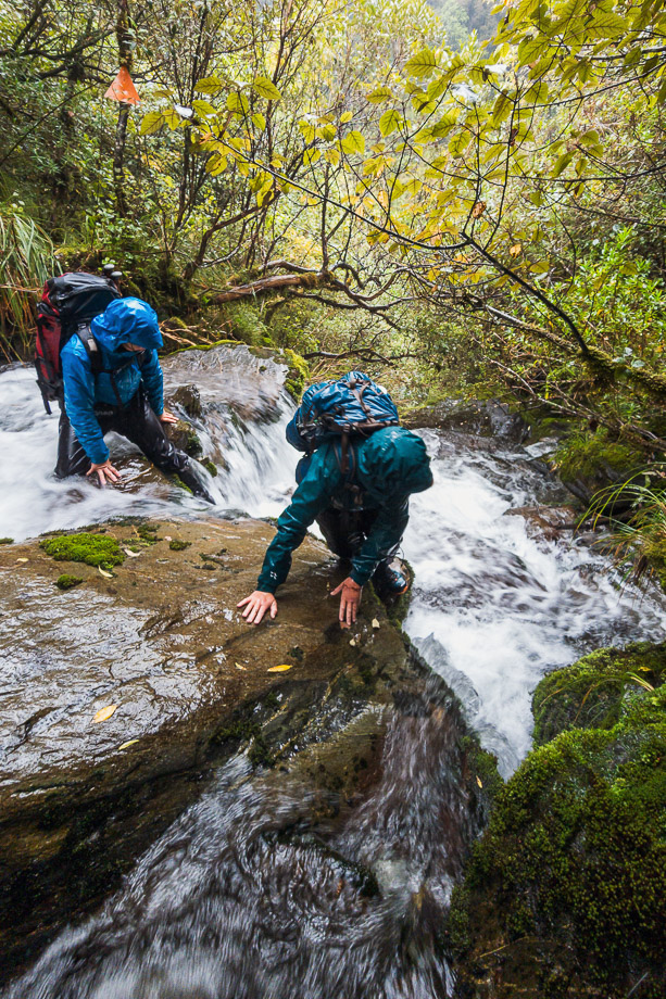
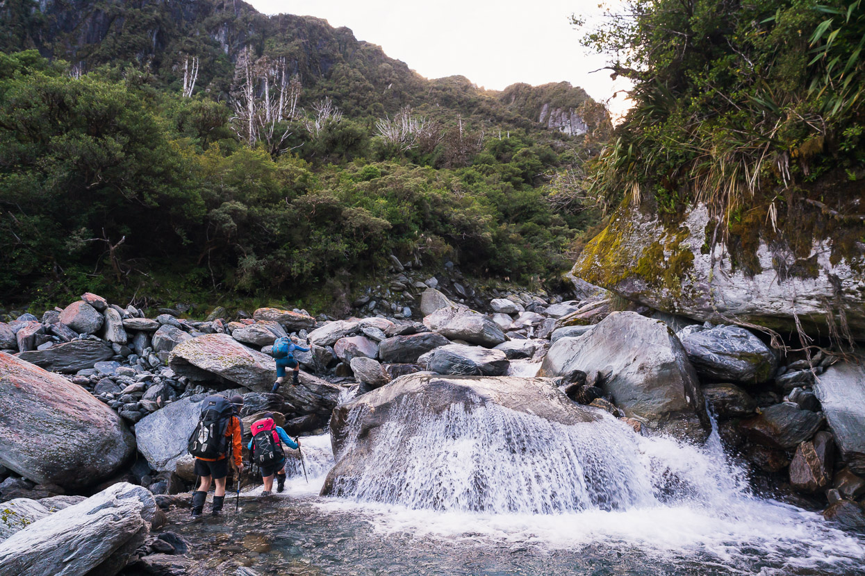
Overnight, Griffiths Stream rose dramatically and we woke a few times to the wind buckling our three season tent and the sound of rocks being rolled by the force of the stream. But as forecast it eased as we ate breakfast and we left camp in light drizzle, with the wind having dropped a lot. Despite the amount of water overnight, the side streams were not problematic and we made good time upstream.
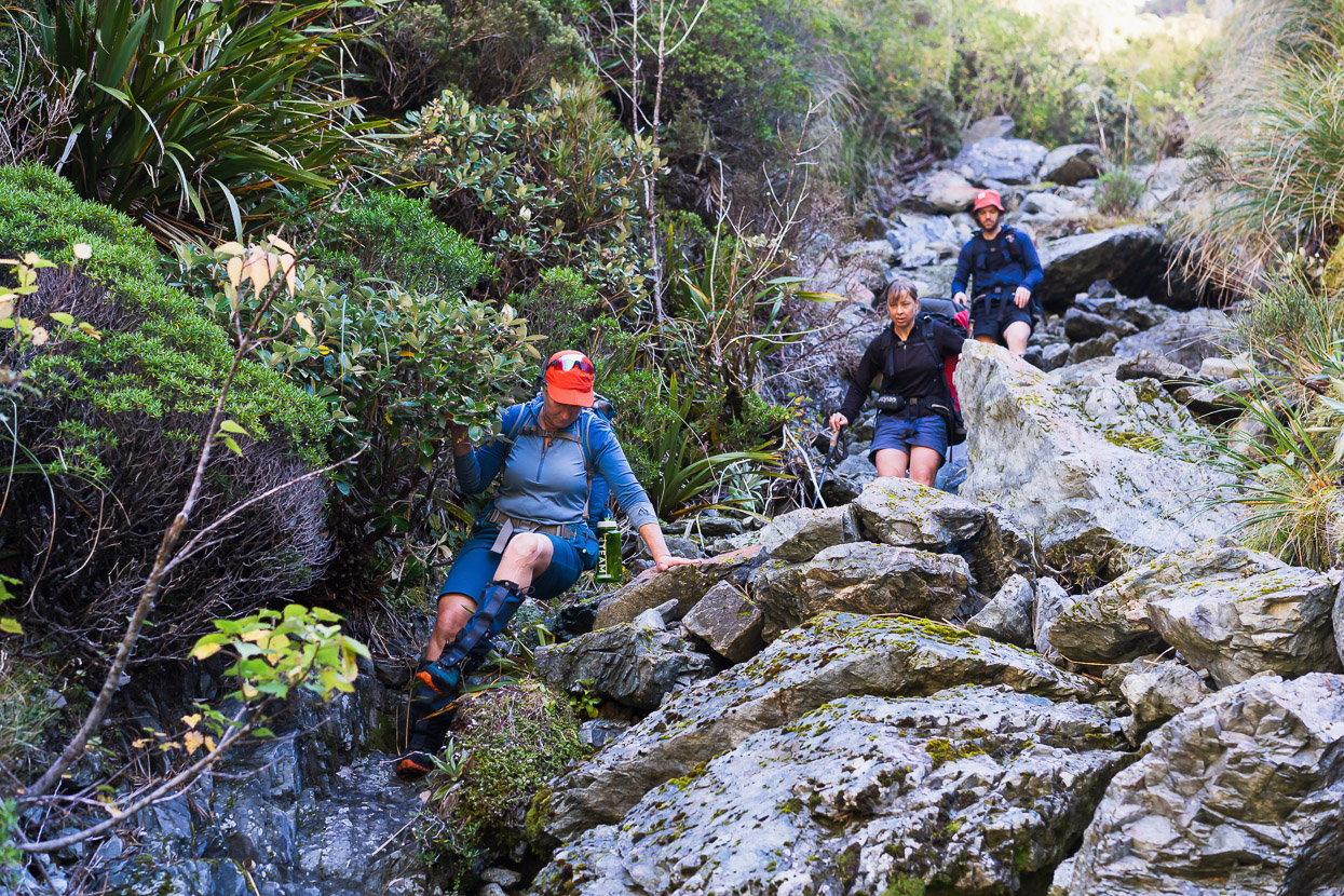
Travel in the Griffiths was reasonably quick, but engaging as we wove our route up the bouldery bed, always looking for the line of least resistance combined with the smoothest flow. There was almost nowhere that you just swing one foot in front of the other. It’s a type of travel I enjoy a lot.
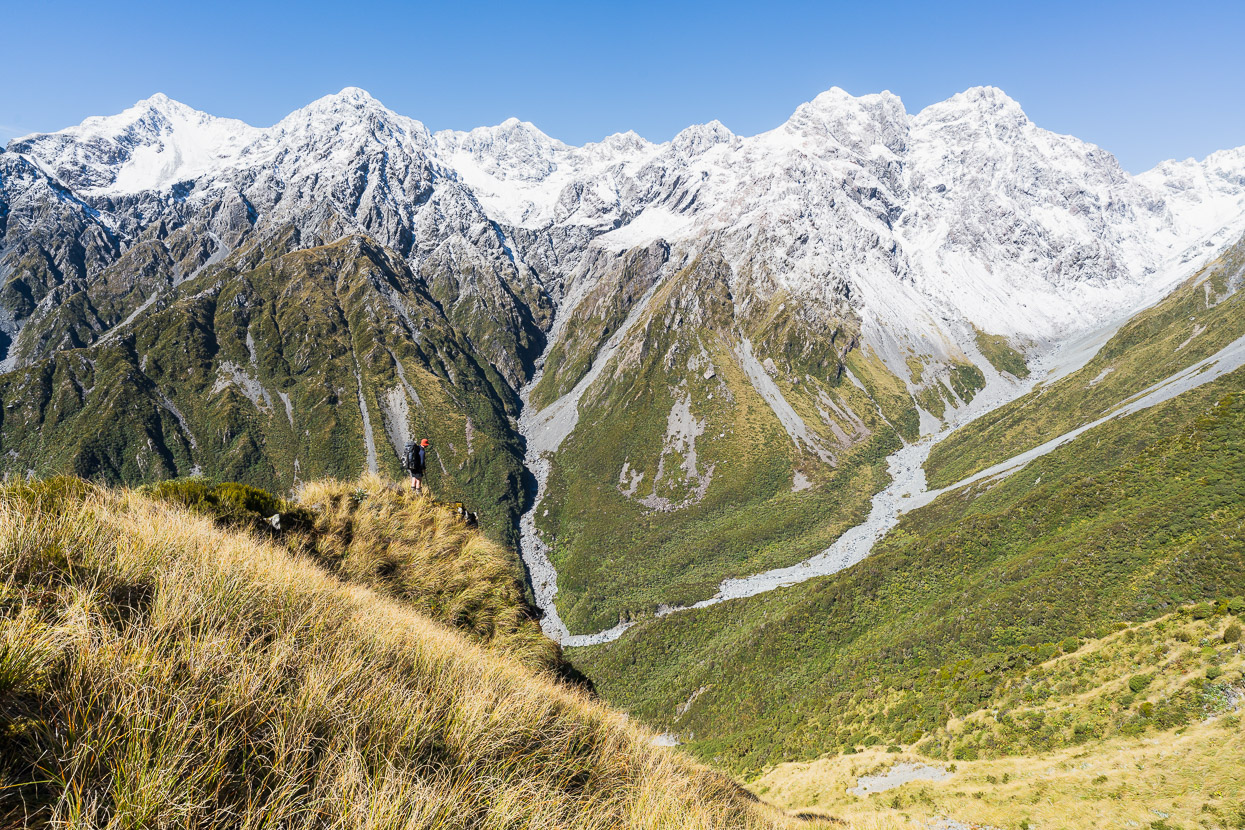
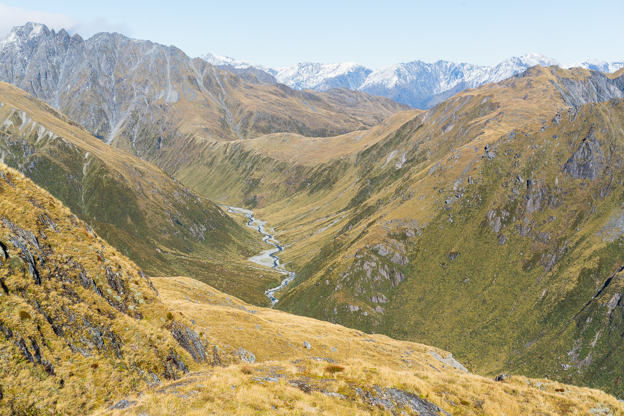
We had lunch at the base of the climb to Hokitika Saddle and then launched upwards, climbing a gully up steep scree and snowgrass and then out onto the ridge which we followed for the next 500 vertical metres on a mixture of vegetation and mostly loose rock.
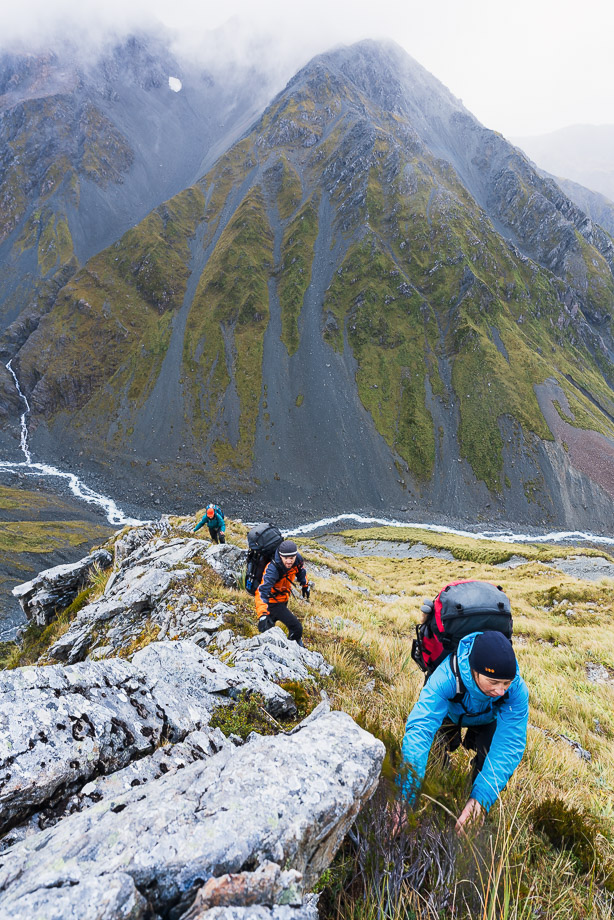
We got hit by a couple of squally showers that brought a mix of rain and snow, but out the east it had become quite clear. Once above the tussock we carried on up the ridge over moraine and topped out on Pt 1850m to the south of the saddle itself.
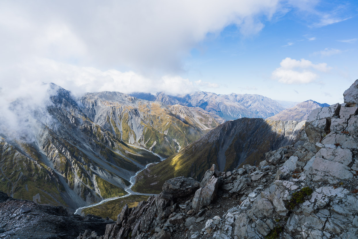
Looking south east down Griffiths Stream, up which we’d come that morning.
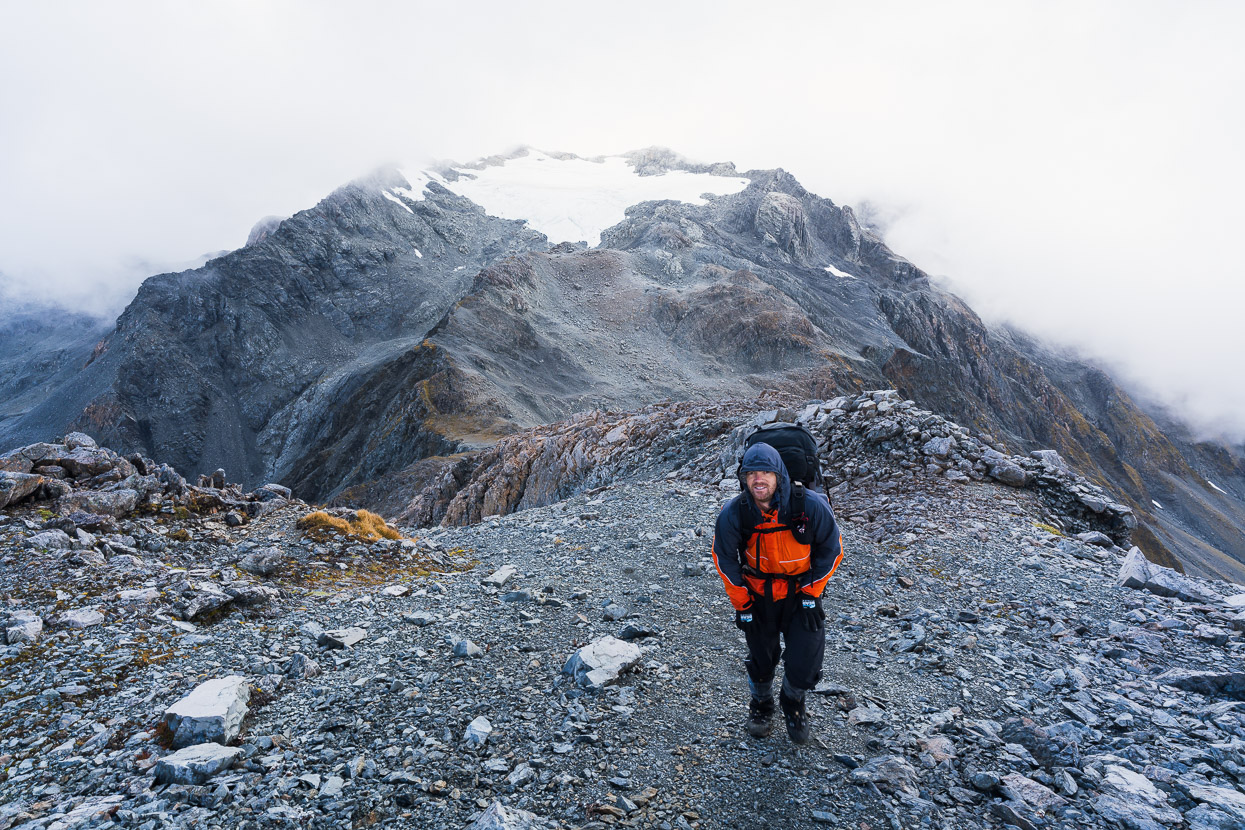
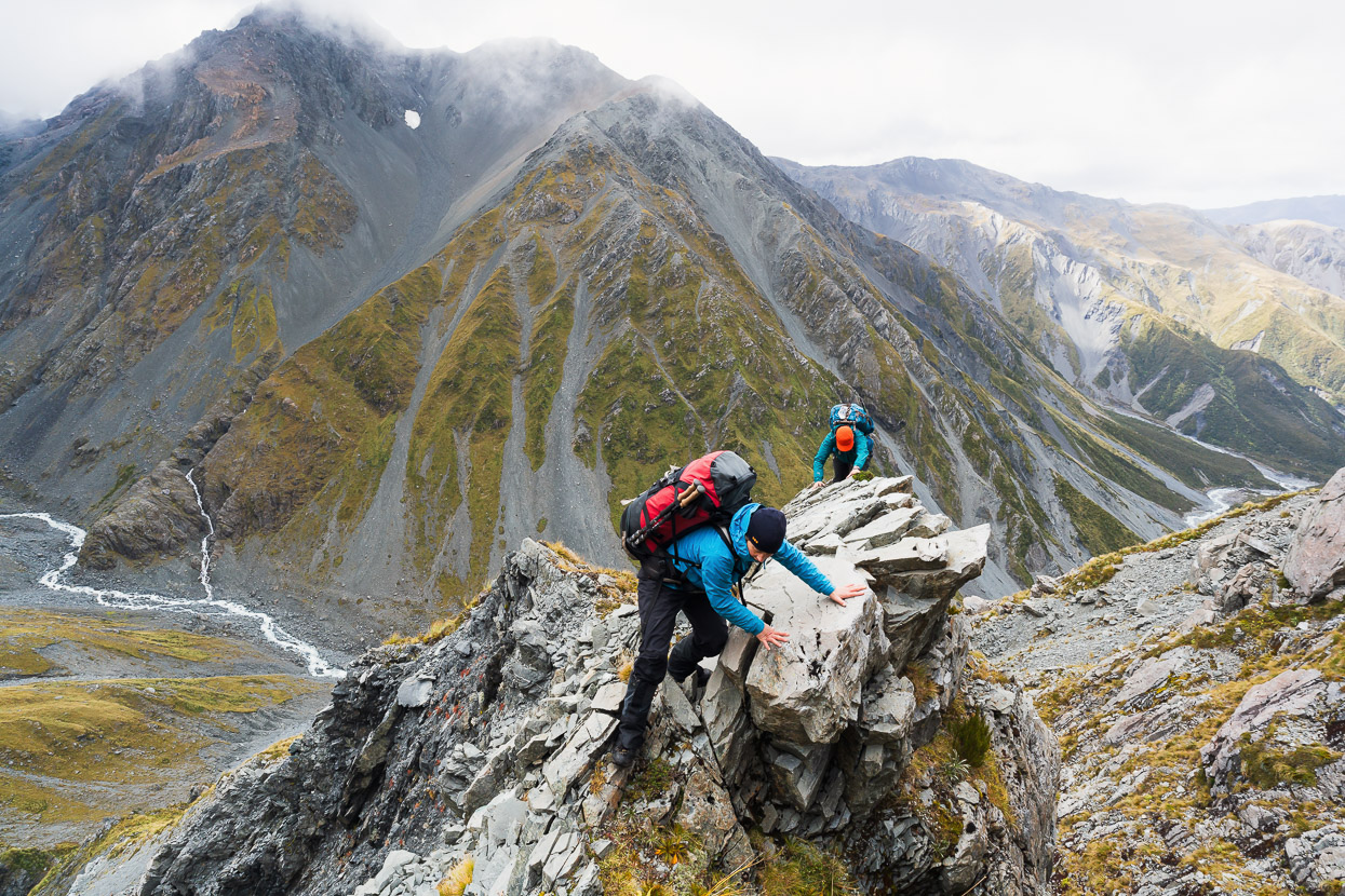
Hokitika Saddle in the background behind James, with Mt Ambrose (2014m) above. The wind on the ridgeline was strong and cold, verging on blowing us off balance, so we didn’t hang around and moved SW for a couple of hundred metres along steep rocky slopes before dropping into a huge scree slope that descends right down to the Mungo headwaters.
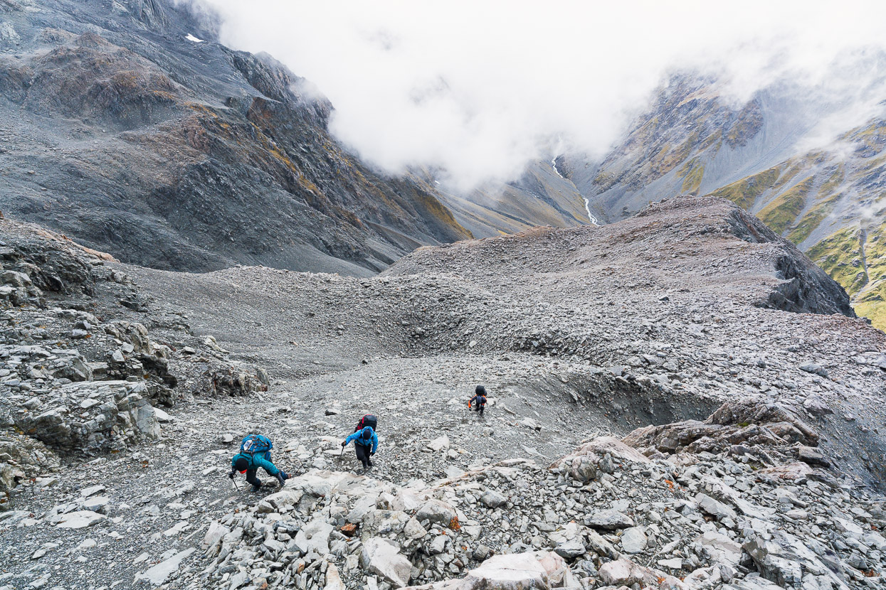
We lost 400m in elevation very quickly and were soon in the shelter of the stream.
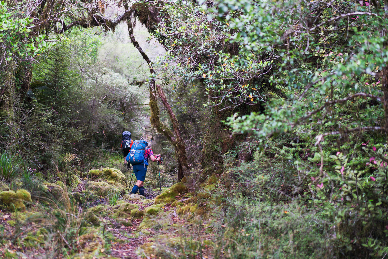
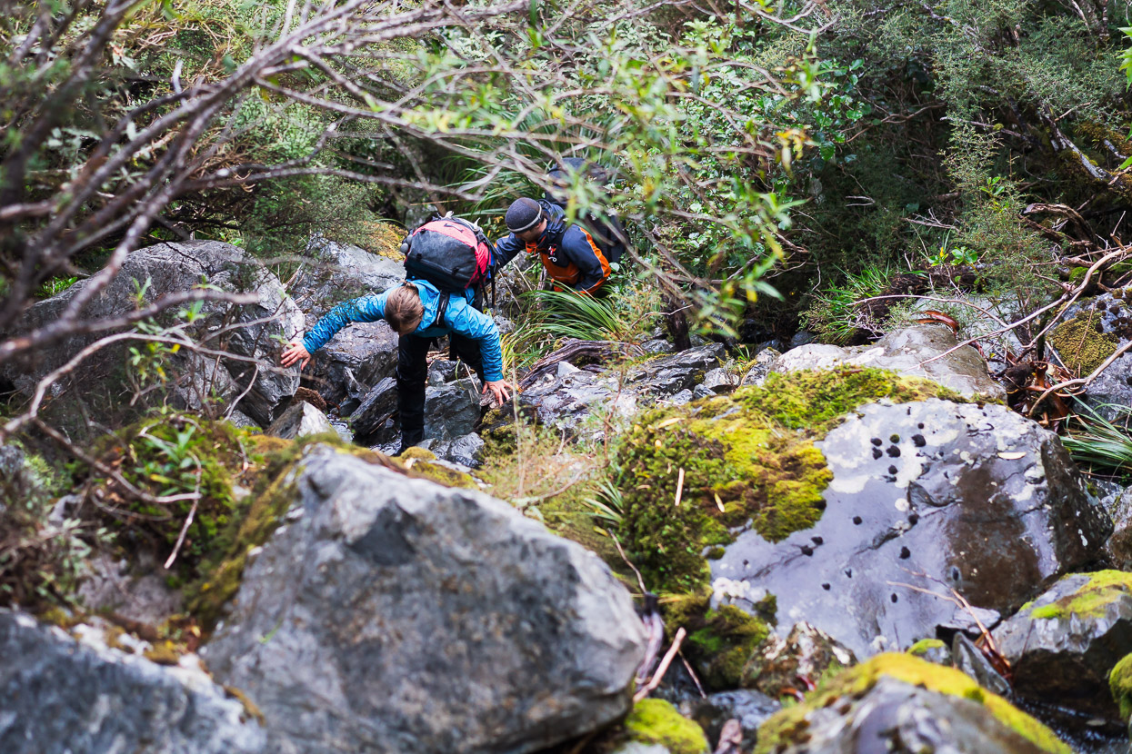
And then it much like the morning’s travel, but steeper as we descended towards Mungo Hut. It was pretty straightforward boulder hopping at first, but became more involved lower down as the river gets bigger and the valley walls close in. Eventually we spotted the permolat that indicates the climb through steep bush to the elevated bench that holds Mungo Hut.
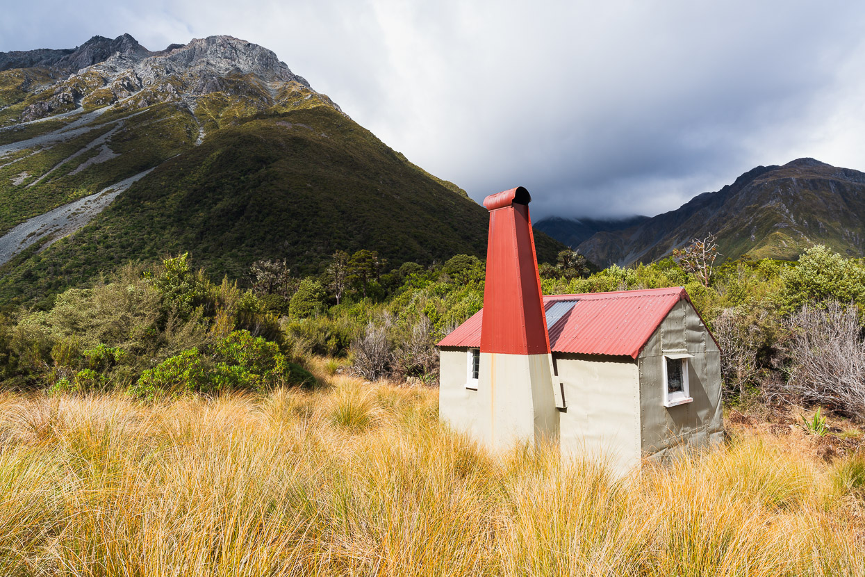
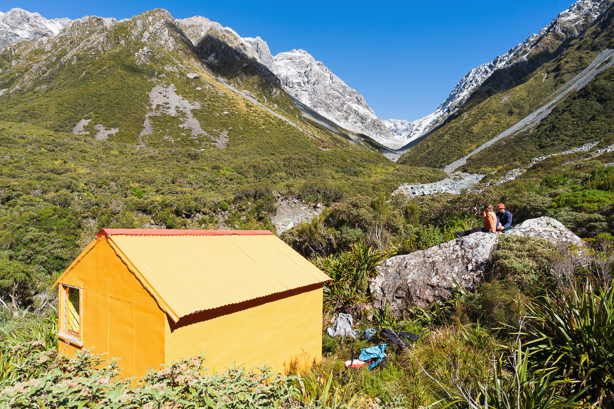
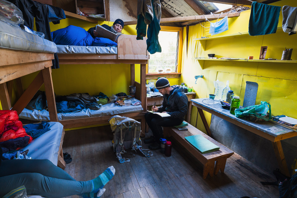
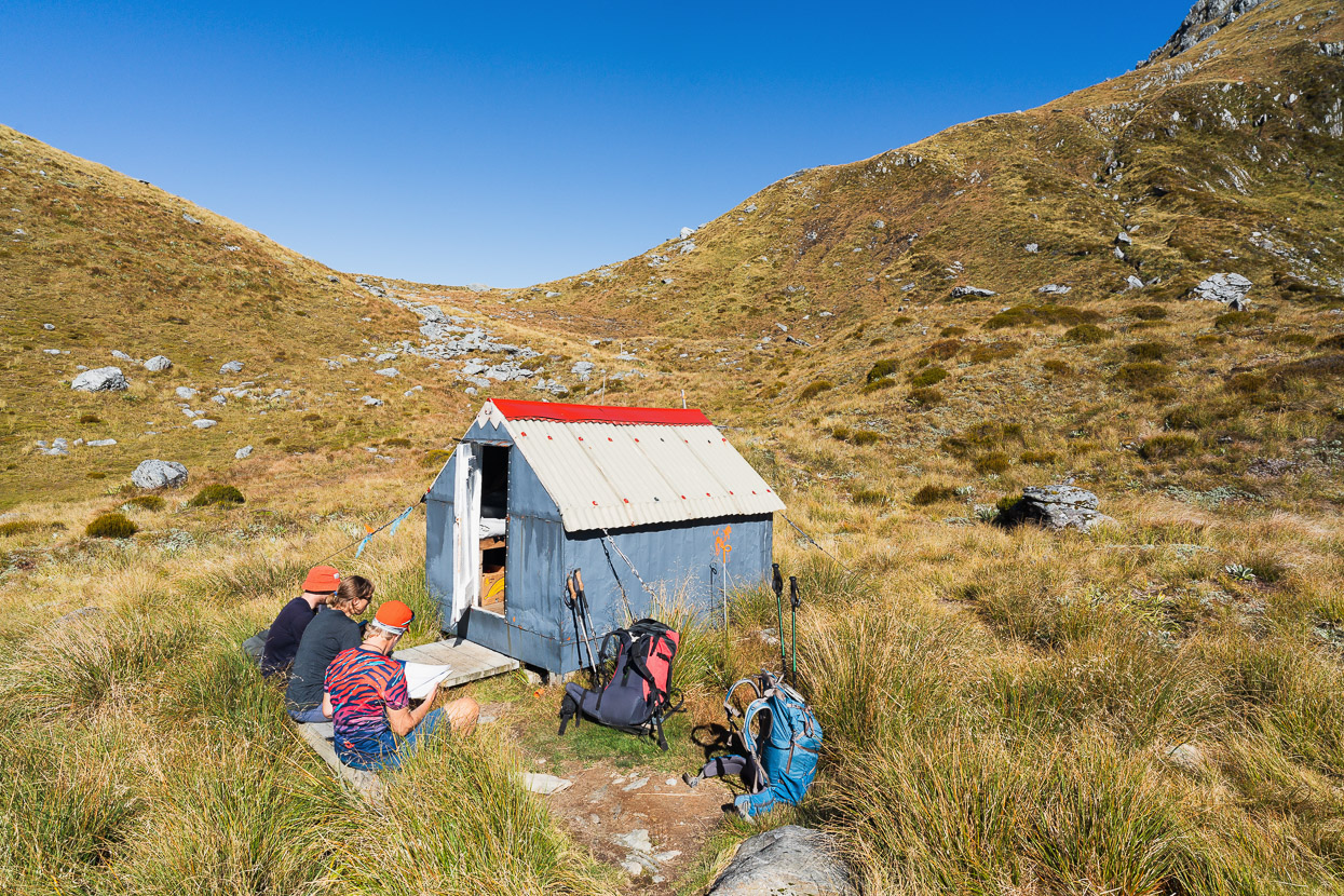
As forecast it poured with rain again that night, along with thunder and lightning. We were happy to have the four-bunk Mungo Hut to ourselves and slept for 11 hours, waking to the patter of rain on the roof. Although we were 100 vertical metres above Park Stream and Mungo River we could hear them churning from the rain. It was the perfect op for a rest day, especially considering travel down the Mungo requires a lot of boulder hopping in the river bed.
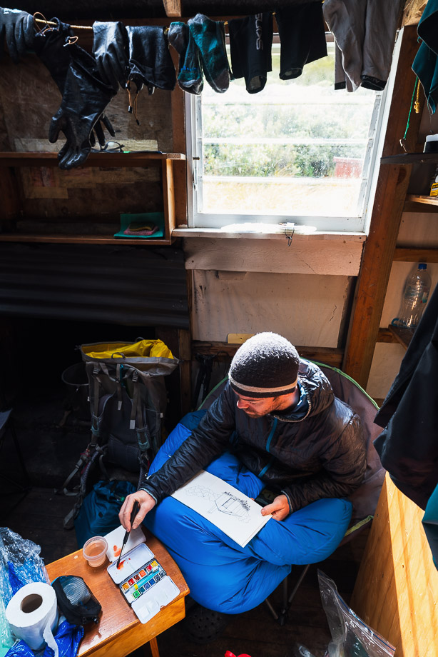
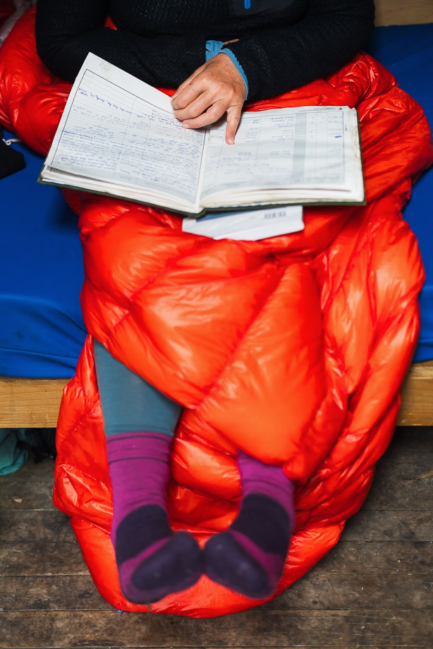
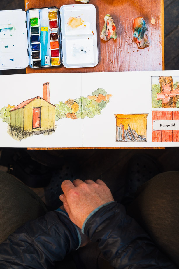
We settled in for the day. James painted, and we took photos, read and sat in the sun in the afternoon, watching a fat weka graze around the hut, while a bellbird sang like a tui. It was good to see plenty of birds here, and the scar from the bush fire a few years back is slowly healing.
Thanks to Backcountry Trust and Permolat volunteers for their efforts maintaining the hut and marking routes. You can read more about tramping in this region, access routes and huts on Andrew Buglass’ Remote Huts website.
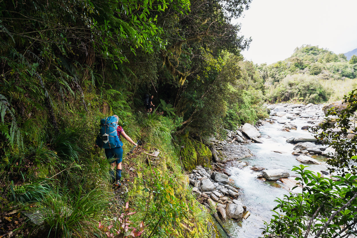
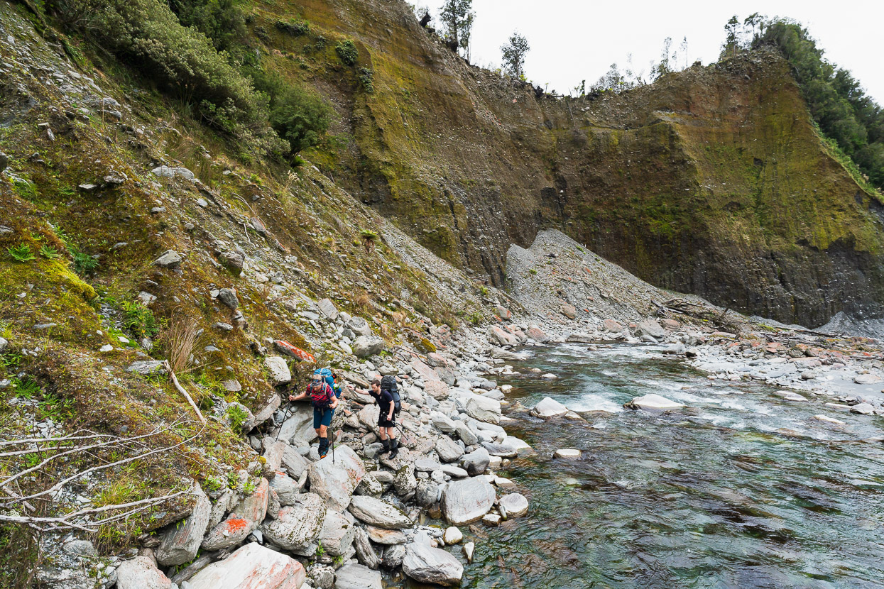
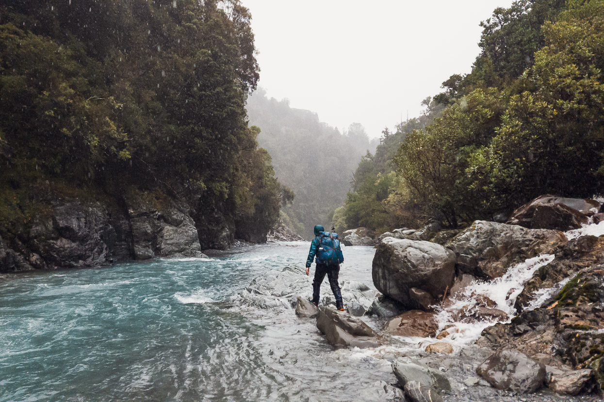
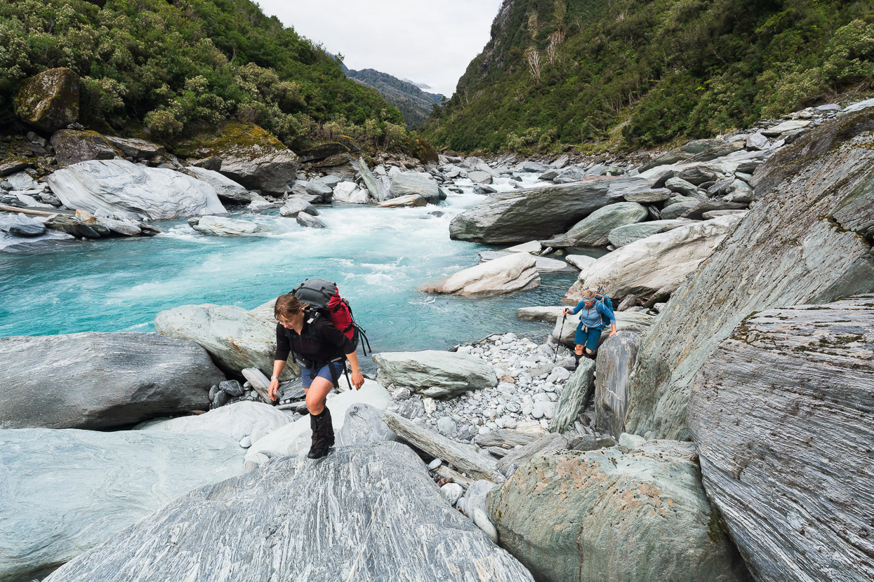
When we left the following morning it was raining steadily, and snow had fallen to just above the bushline. The river had dropped from the previous heavy rain though and we made comfortable but slow progress down the TR bank, following two sections of track that climb high into the bush to pass bluffs in the river. When the river’s low it’s possible to travel some sections down the TL too, but crossing was not an option for us.
It was quite an awe inspiring place to be, and we felt very small alongside the roar of the river and the valley walls soaring into the mist. The rain fell incessantly all morning and ran everywhere, while we all glistened in our jackets and overpants.
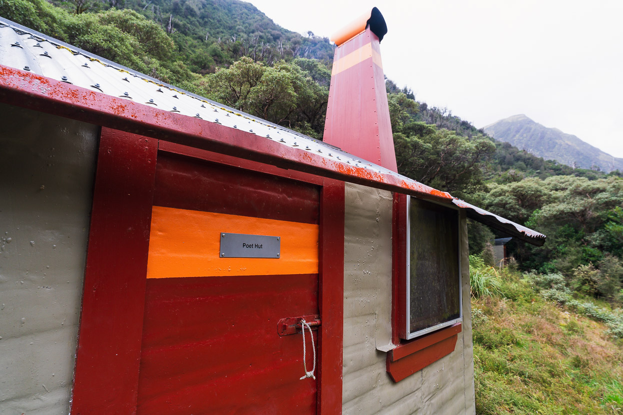
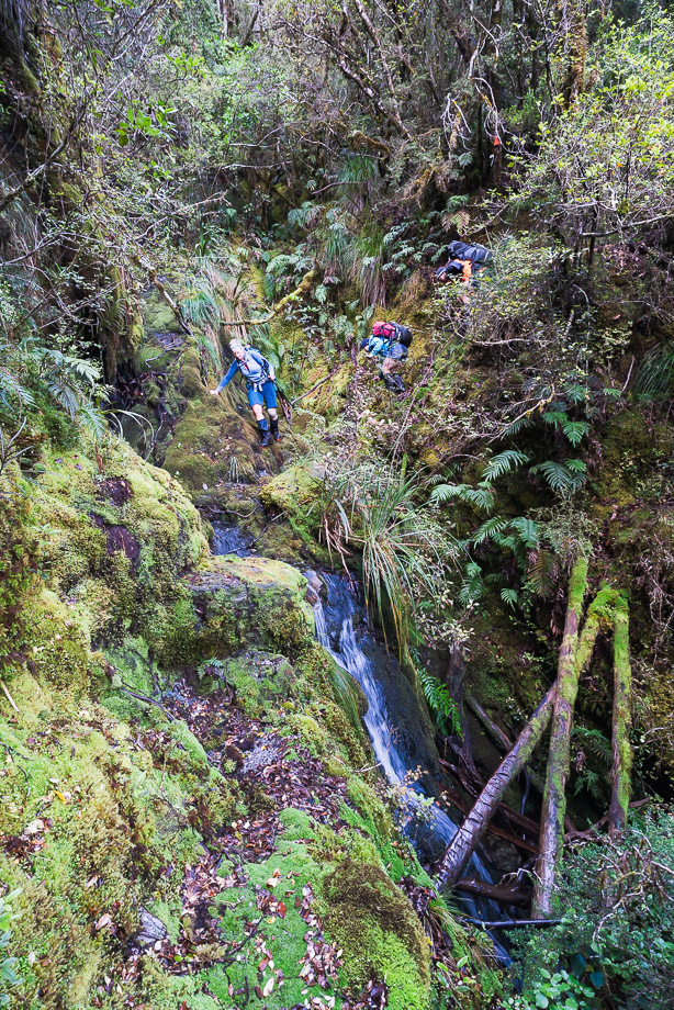
After about four hours we reached the ‘maintained’ track that continues down to the Toaroha Saddle track junction and Poet Hut. We’d been planning to climb Homeward Ridge and drop into Sir Robert Hut in its namesake creek that afternoon, but the weather was slow to clear and we were all pretty wet, so we chose to save it for the next day, which was finally due to be fine. This would give the snow a chance to melt off the steep snowgrass we knew we’d be tackling, too.
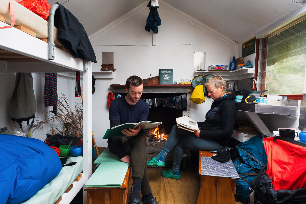
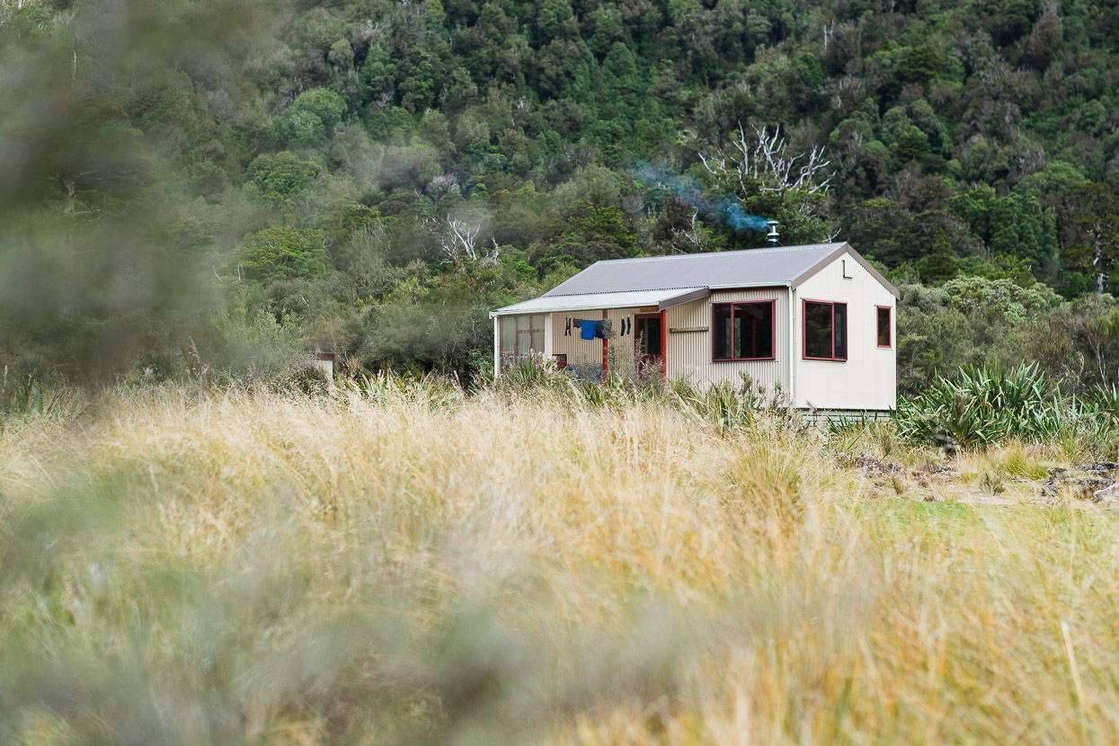
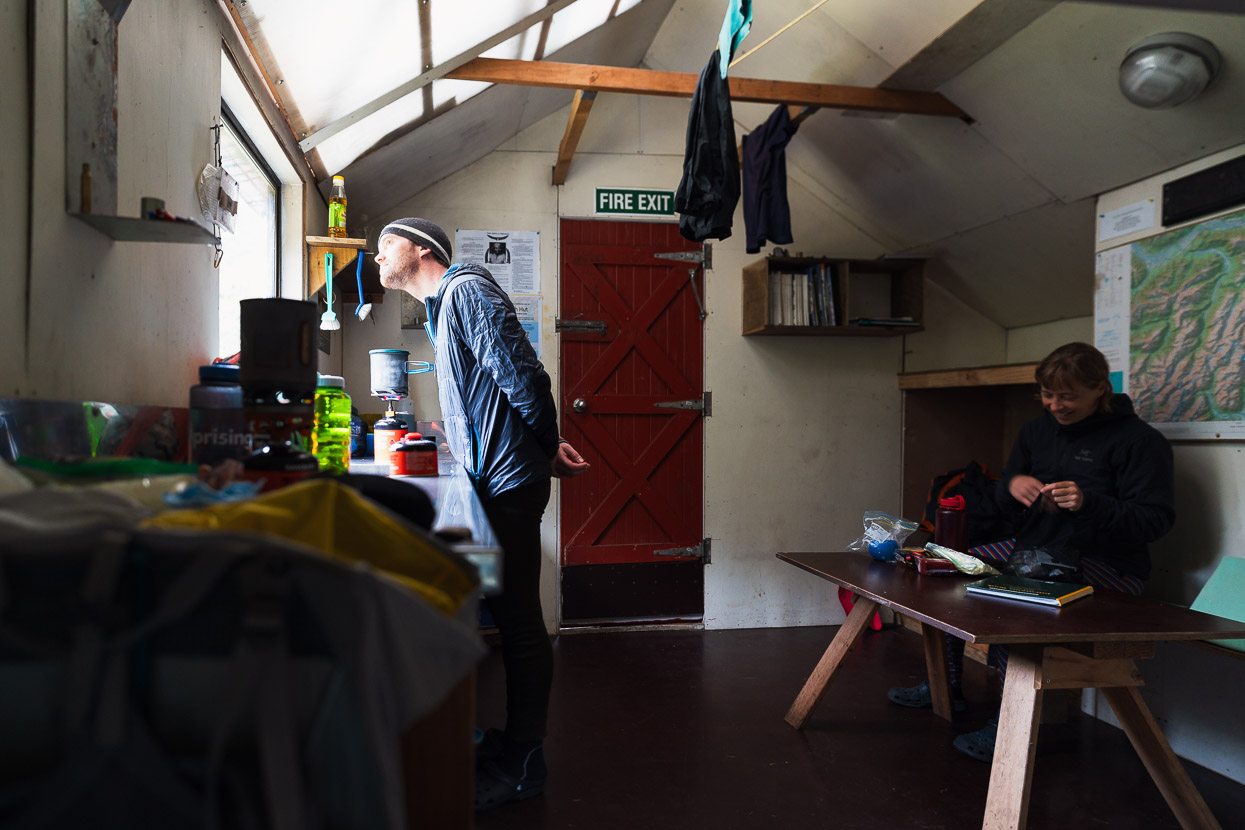
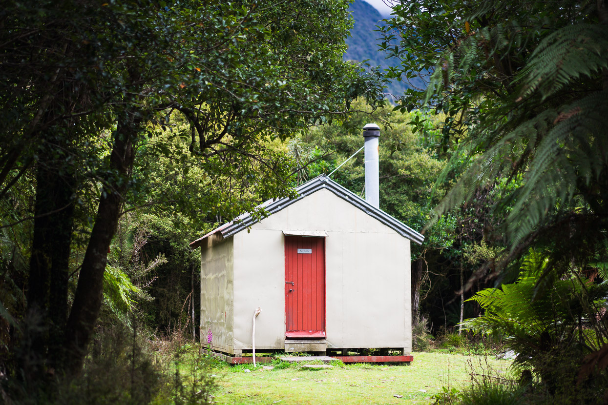
Last time we’d visited Poet Hut it had been scody and rat infested, so it was great to see it now lined and in a beautifully clean and maintained state. We settled in for the afternoon and lit the fire to dry out. By the time we went to bed that night the sky was finally clear.
The morning was crisp as we left Poet and walked back upstream for 20 minutes to the Homeward Ridge bridge.
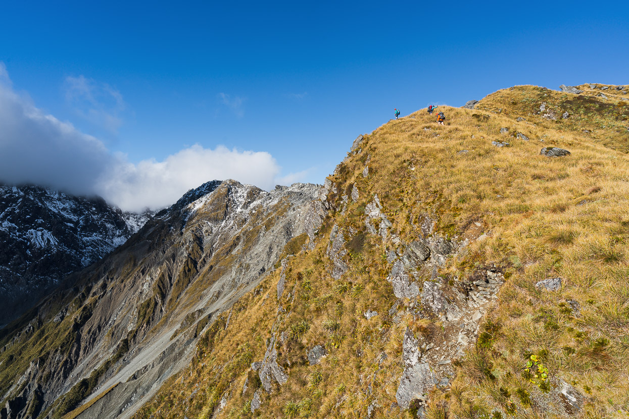
We could not have had a better day for the climb up the ridge. The track up though the bush has been marked by Permolat, and is reasonably clear.
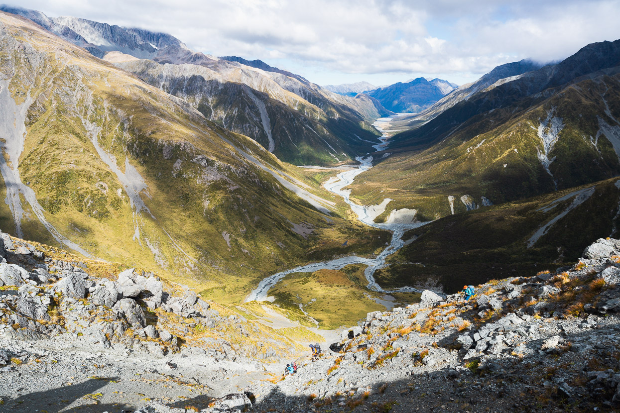
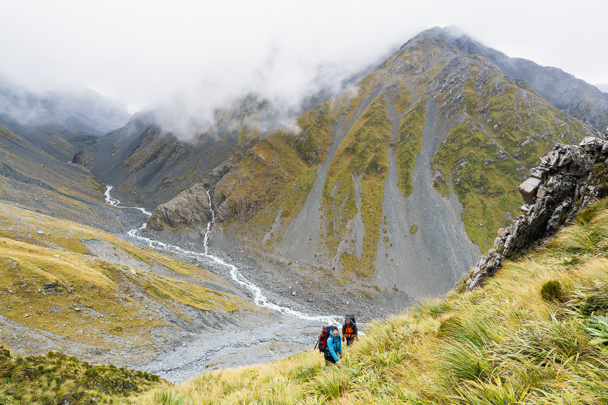
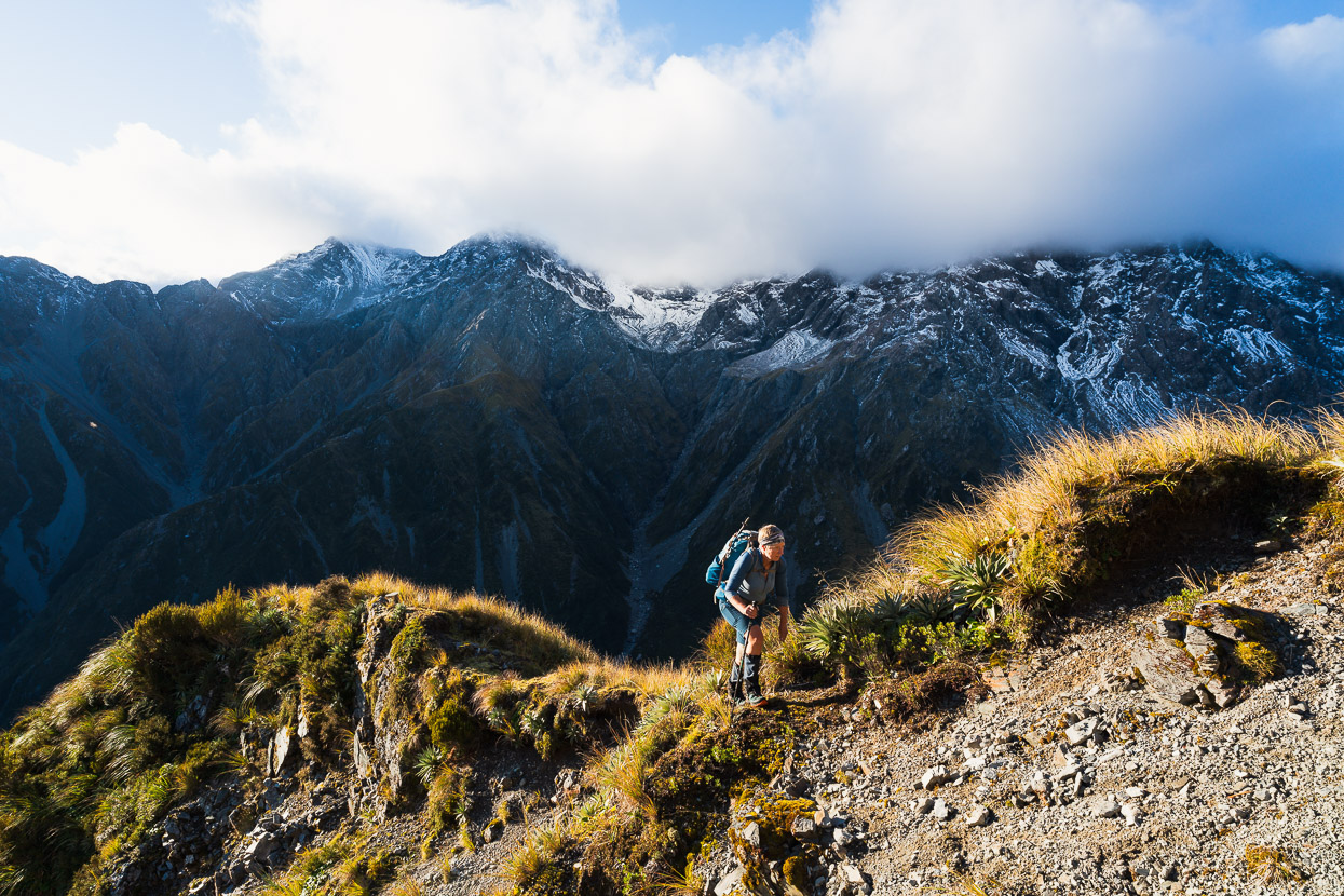
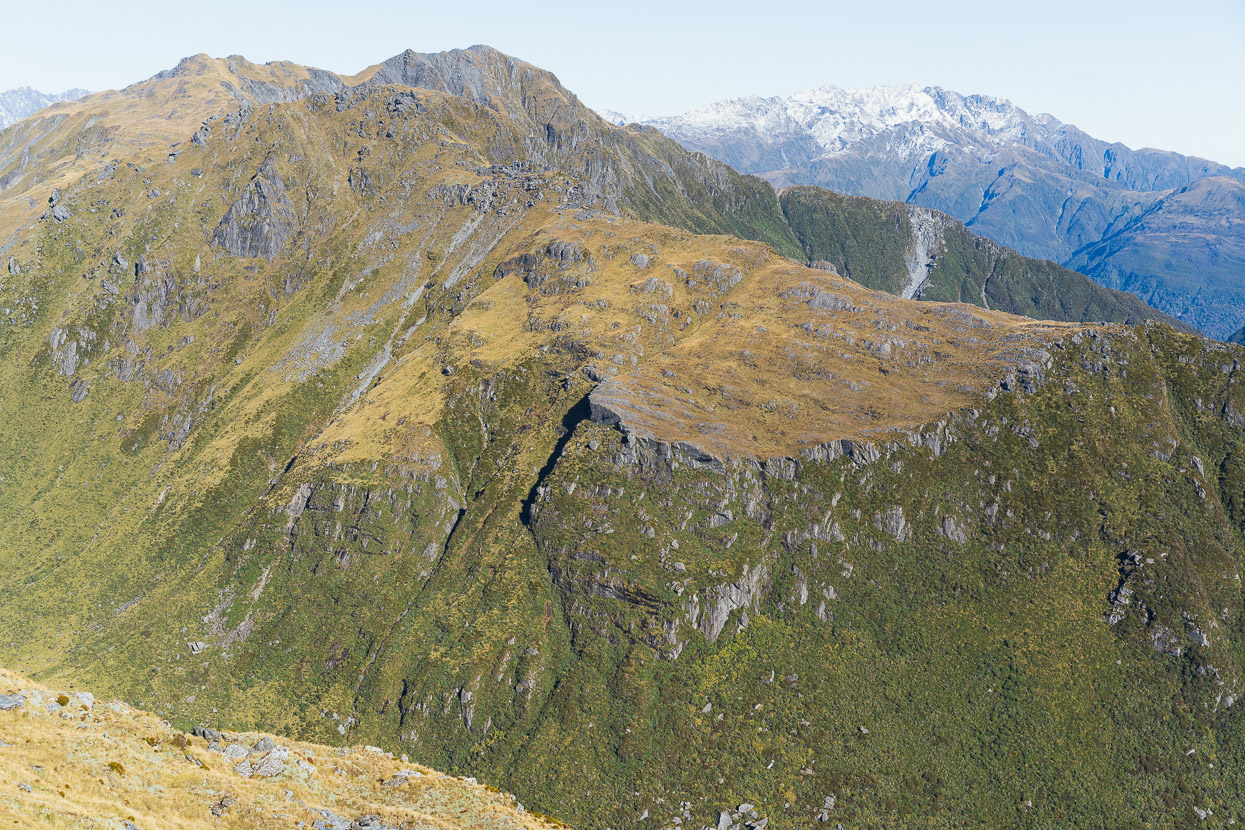
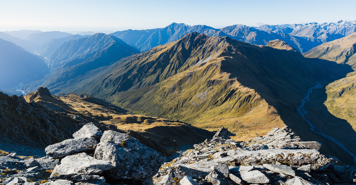
It was great to be on the tops on a fine, calm day. This shot is looking back down Homeward Ridge towards the Mungo River. Mungo Hut is on the bush covered terrace above the short section of river that’s visible, with Hokitika Saddle at the head of that valley.
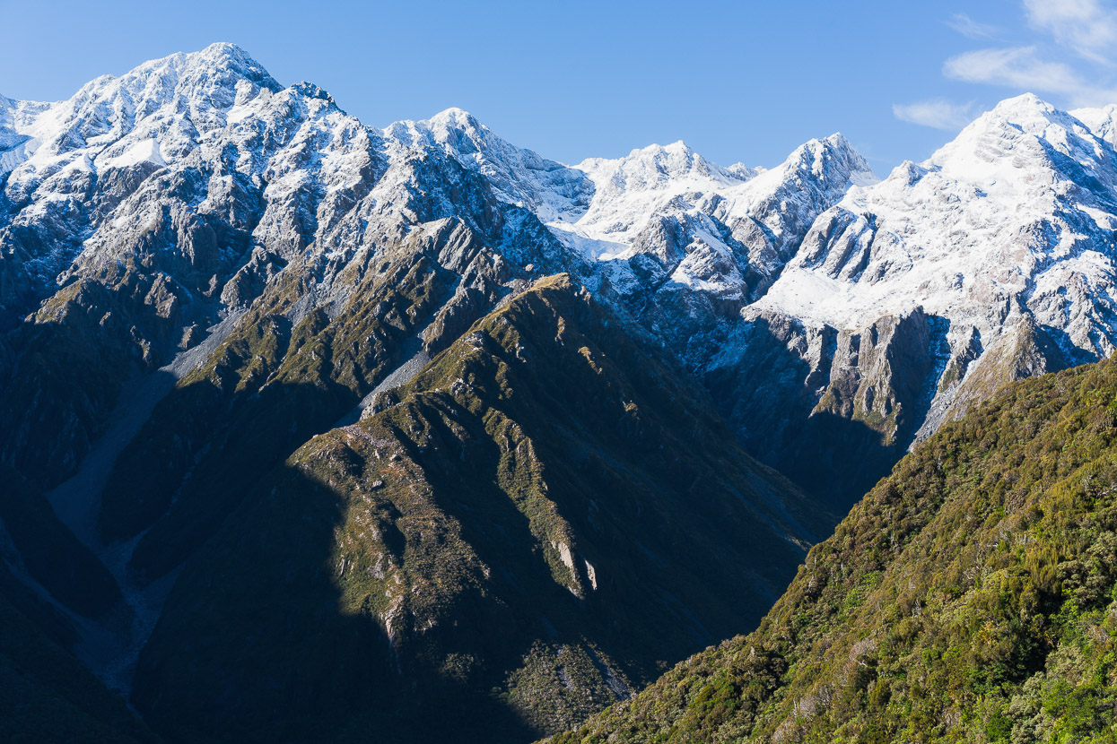
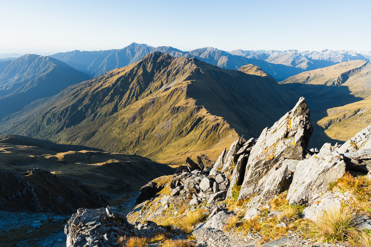
We climbed the ridge to a flat spot around the 1440m contour and stopped for lunch right where the descent into Sir Robert Creek commences down a spur. The main divide peaks of Kā Tiritiri o te Moana were dressed with snow from the storm. From their summits their slopes fell away into steep craggy ridges and loose gullies.
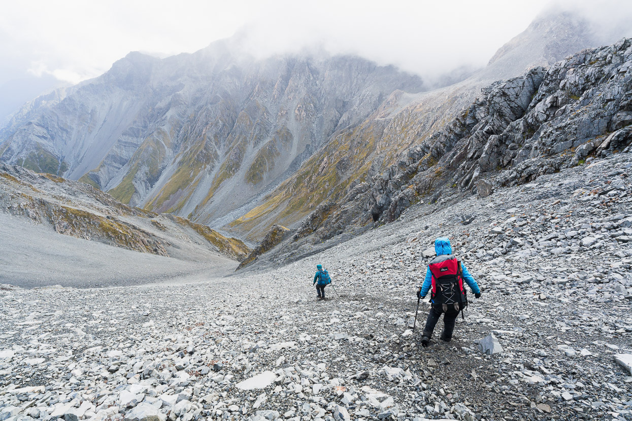
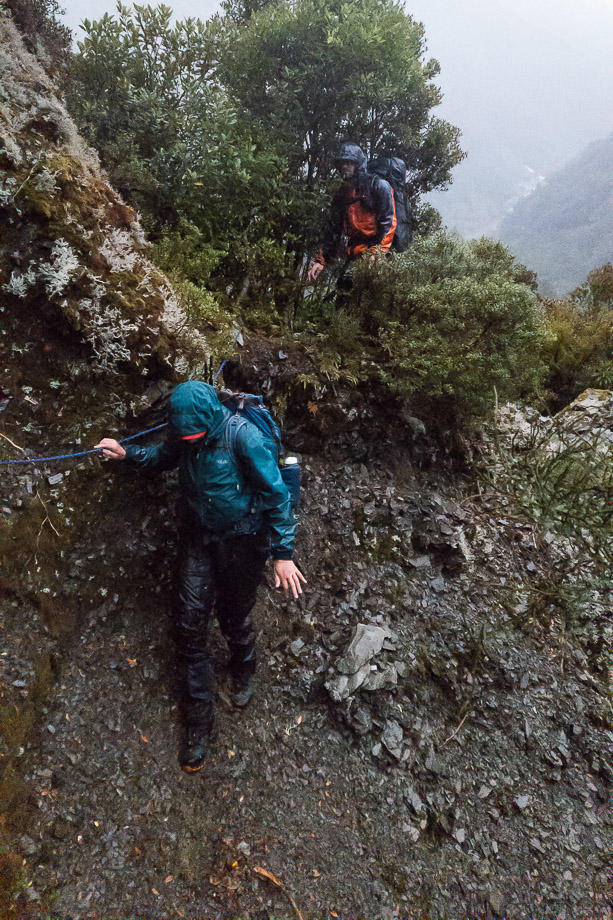
We walked and scrambled our way down the ridge and then dropped into a gully that led down towards a tributary of Sir Robert Creek. This photo is looking into Sir Robert.
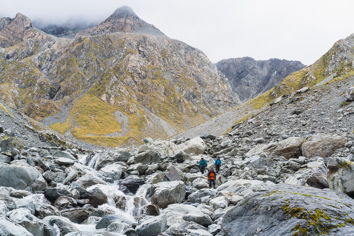
We descended steep snowgrass, and then a greasy stream bed, but got forced out of the stream a couple of times by small bluffs.
We joined the tributary and then dropped into Sir Robert Creek. The hut’s just a short distance upstream and the track to it signalled by a cairn and a bit of permolat. From the overgrown track and thick layers of leaves on the foot pads it was evident no one had been there for a while.
We were stoked to arrive at the hut early enough in the day to soak up the location. Cups of tea were enjoyed in the sun as we sat on two large boulders outside the hut. Aside from the boulders, there’s not much other space for lounging outside this classic four-bunker, which almost looked like it fallen out of the sky and landed in the alpine scrub of this untamed environment.
Much of this hut is still in its original condition, and still with NZFS-era accoutrements such as a camp oven, straw broom and a can opener mounted on the wall. The hut book dated back to 1983 and had, on average, only two entries per year for the subsequent years through to 2024. It was like a little museum and reminded me of the feeling of visiting my first cullers’ hut in the Tararuas in 1980.
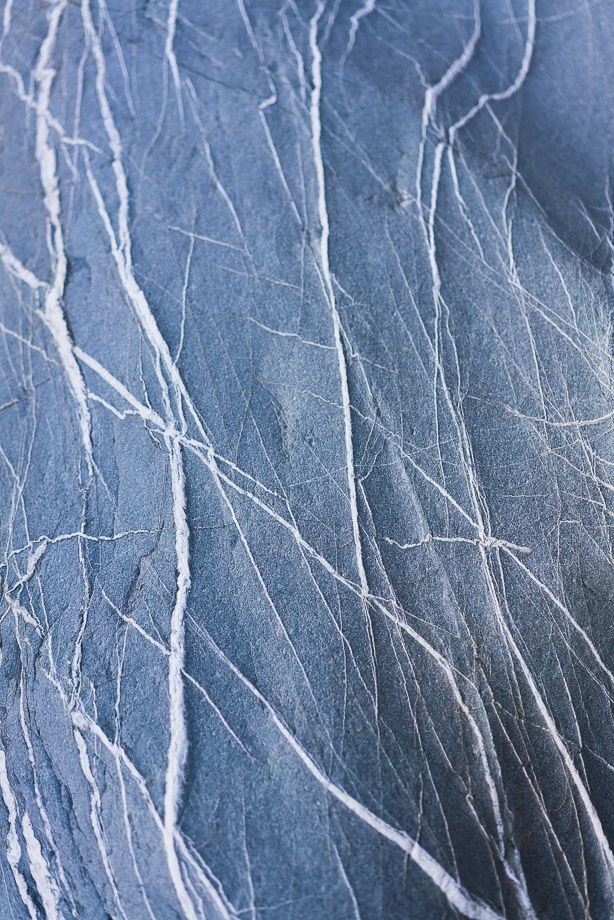
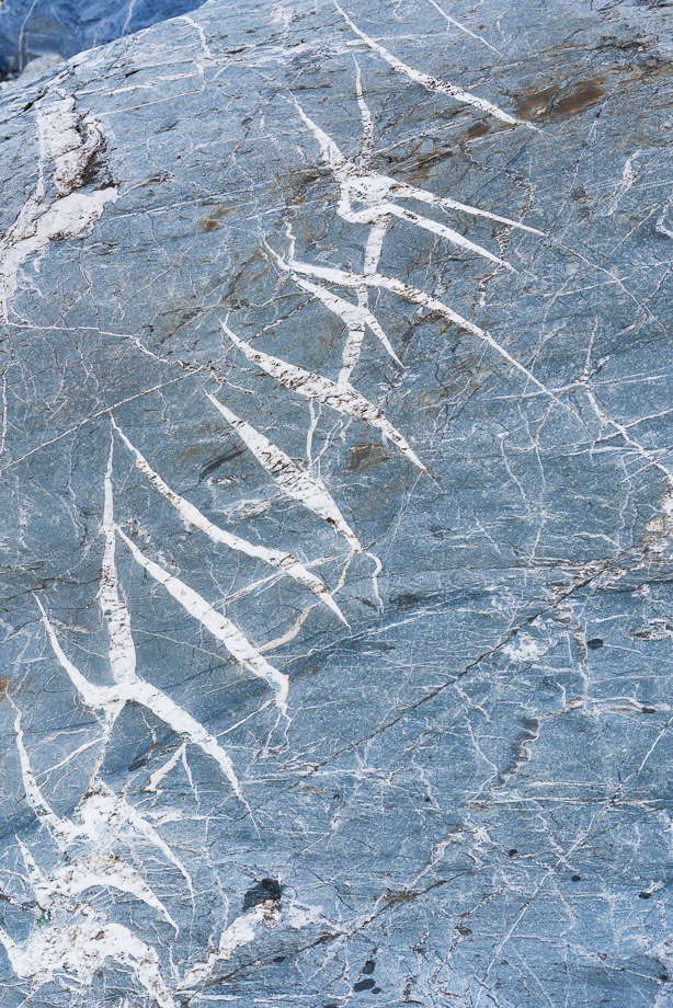
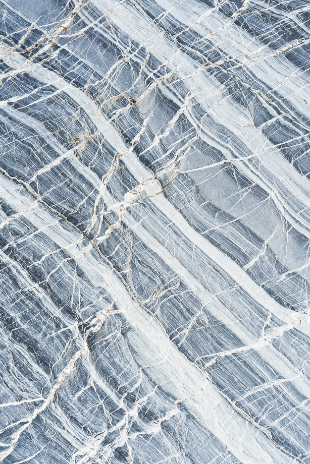
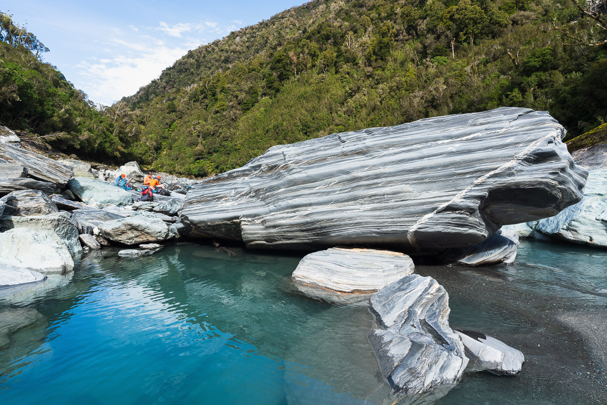
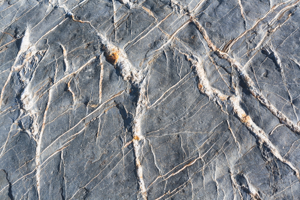
The chunky boulders of Sir Robert Creek provided some quality quartz artwork to photograph.
At Mungo Hut Hana had begun to develop quite a severe toothache, which she’d been soothing with a regular dose of painkillers. We’d considered exiting via the Toaroha to get it attended to, had it worsened further, but leaving Poet Hut it wasn’t feeling too bad. So we’d continued to Sir Robert, feeling positive about continuing with our plan to exit via the Diedrichs Range beyond there. However, the night we were at Sir Robert it worsened and Hana spent most of the night sitting up awake, in too much pain to sleep. So we decided to get out in two days from there – via Frew Saddle and the Whitcombe River.
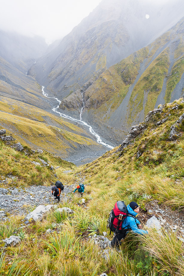
We left early, by headtorch and climbed back up the gully and ridge to the saddle.
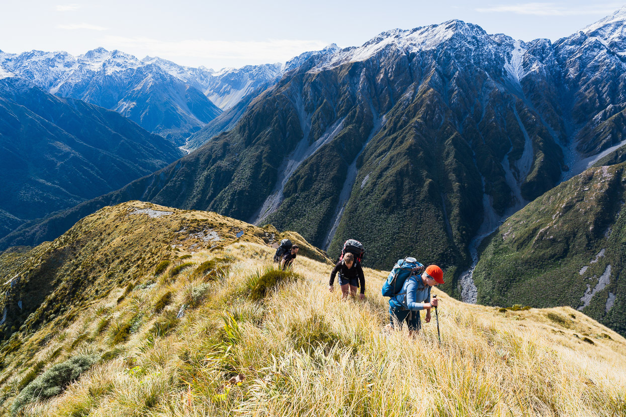
It was another glorious day to be travelling on the tops.
We carried on up Homeward Ridge towards Pt 1561m and then sidled around, before dropping down easy tussock towards Tub Creek.
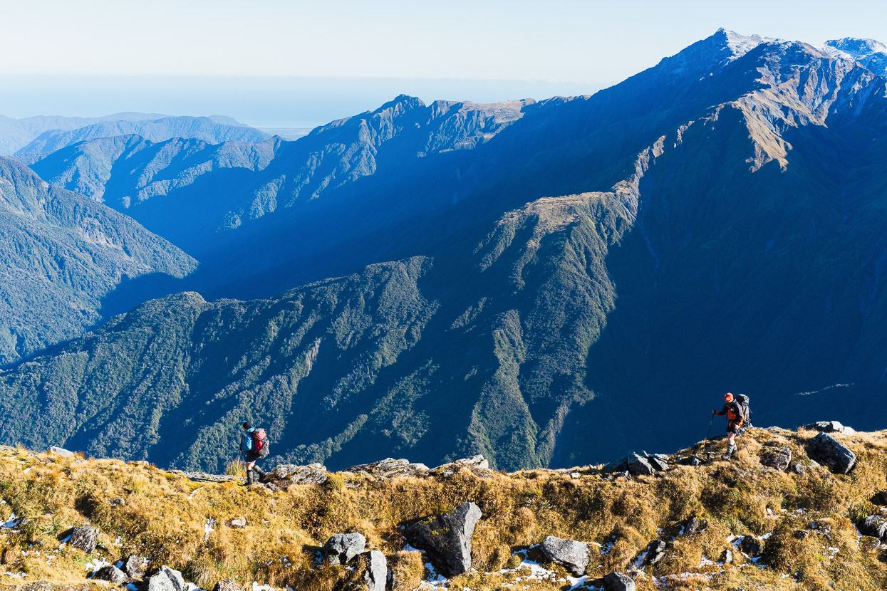
The views – like this pictured of the Hokitika Valley, Diedrichs Range and out to the coast – were stunning.
Looking into the upper Hokitika with Frew Saddle just above centre. Taken above Tub Creek.
Conway Ridge, off the Meta Range. Also on the other side of the Hokitika.
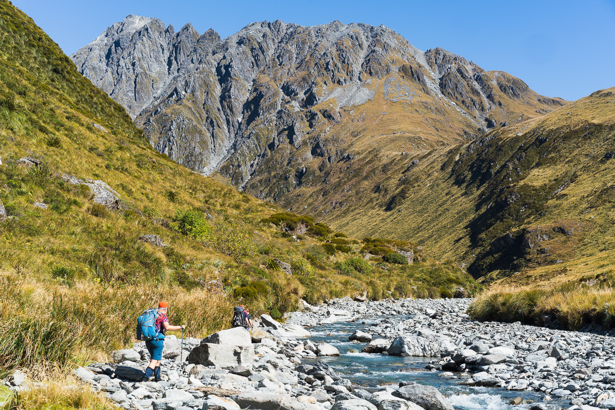
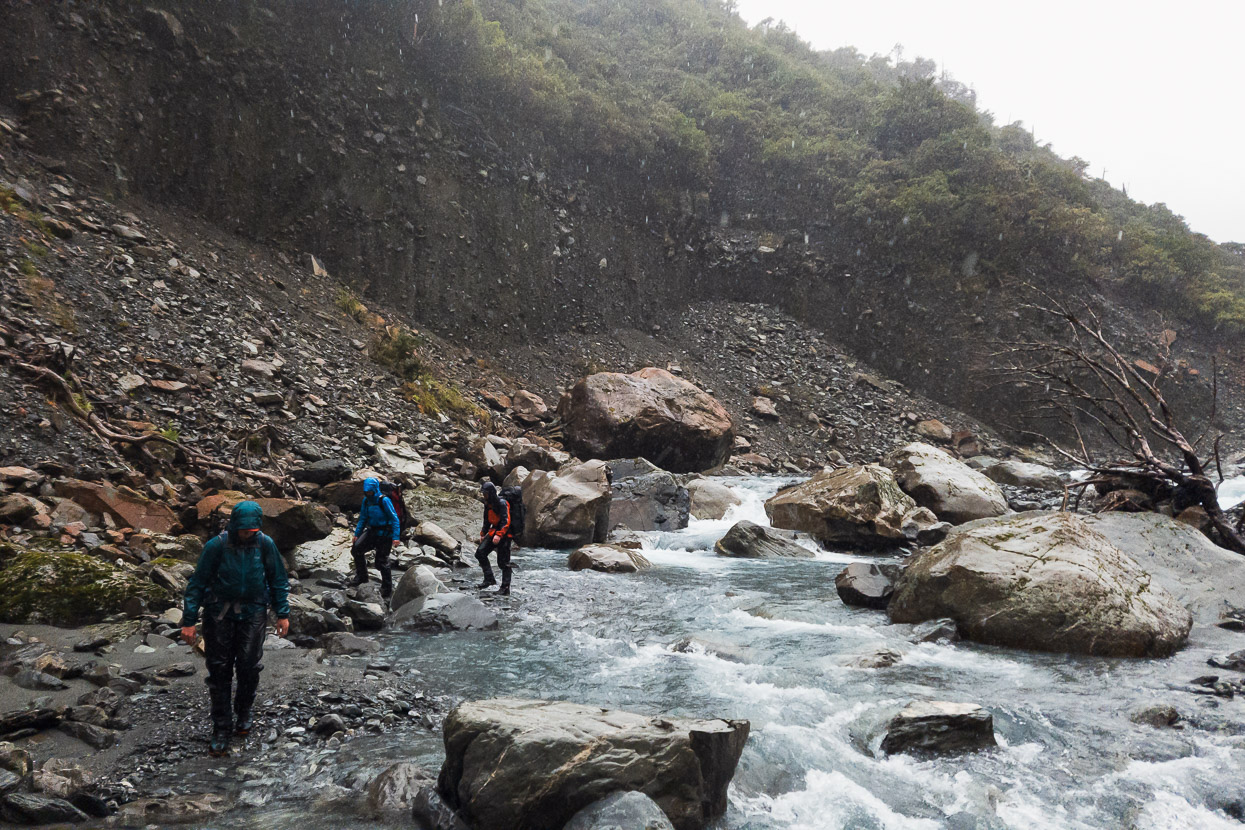
The Tub Creek route into the Hokitika started well, but we probably should have tried harder to get into the actual creek, instead of staying on the cliff edge on its TR. This concluded with a pretty grim but fortunately brief scrub bash that had us tunnelling on our bums, one behind the other. This photo is once we got into the easy travel of the Hokitika River. Frew Saddle is centre-right.
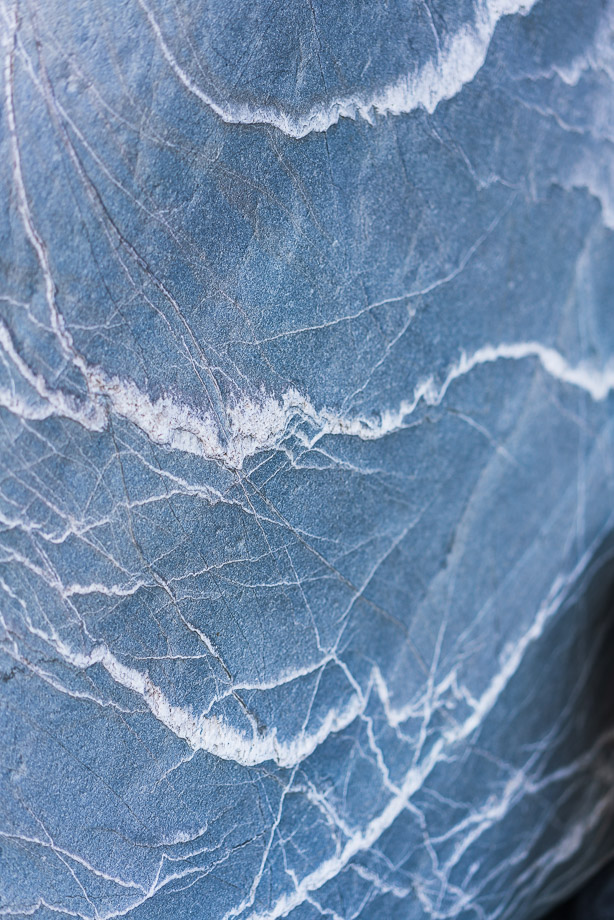
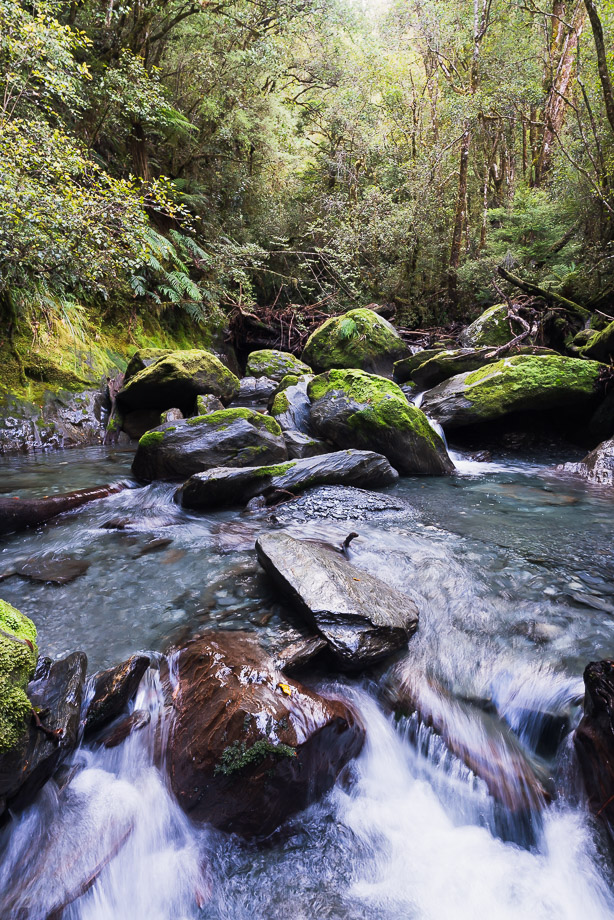
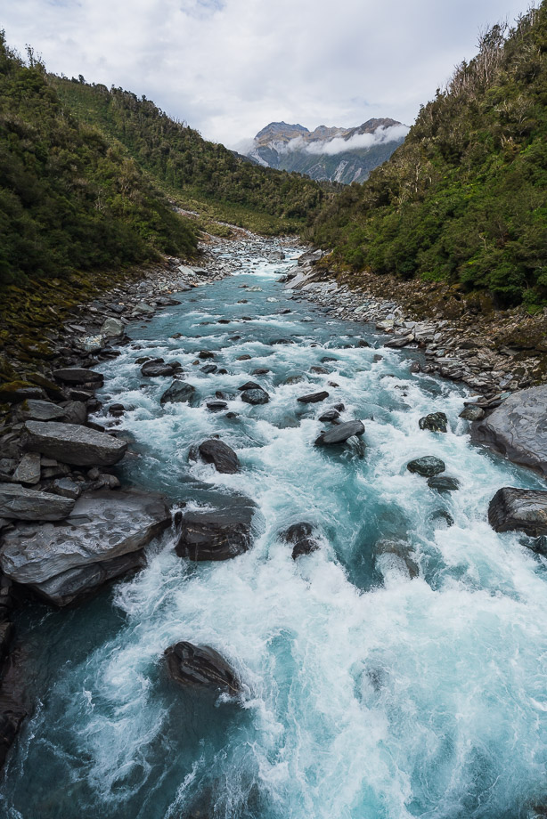
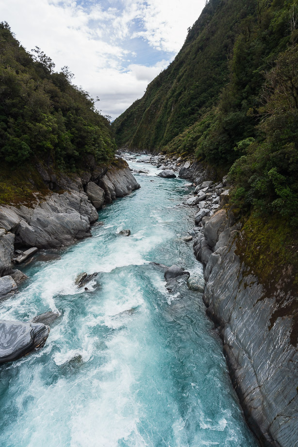
The Hokitika River has a pristine feel to it, especially on a fine day. The water is incredibly clear, the river bed clean and polished by frequent floods and there are all sorts of interesting rocks to catch the eye.
The climb up to Frew Saddle is only a couple of hundred vertical metres, but they’re steep ones. It was just before the climb to the saddle that we saw the first person we’d seen in five days. Since dropping into the Hokitika we were now on the classic 4-5 day Frew Saddle – Toaroha Saddle circuit. Not long after arriving at the biv in the late afternoon another person turned up, and then two more, who also set up camp. The historic bivouac here is a classic, being the first NZFS B49 two-person biv built in central Westland – a predecessor to the larger designs which became more common.
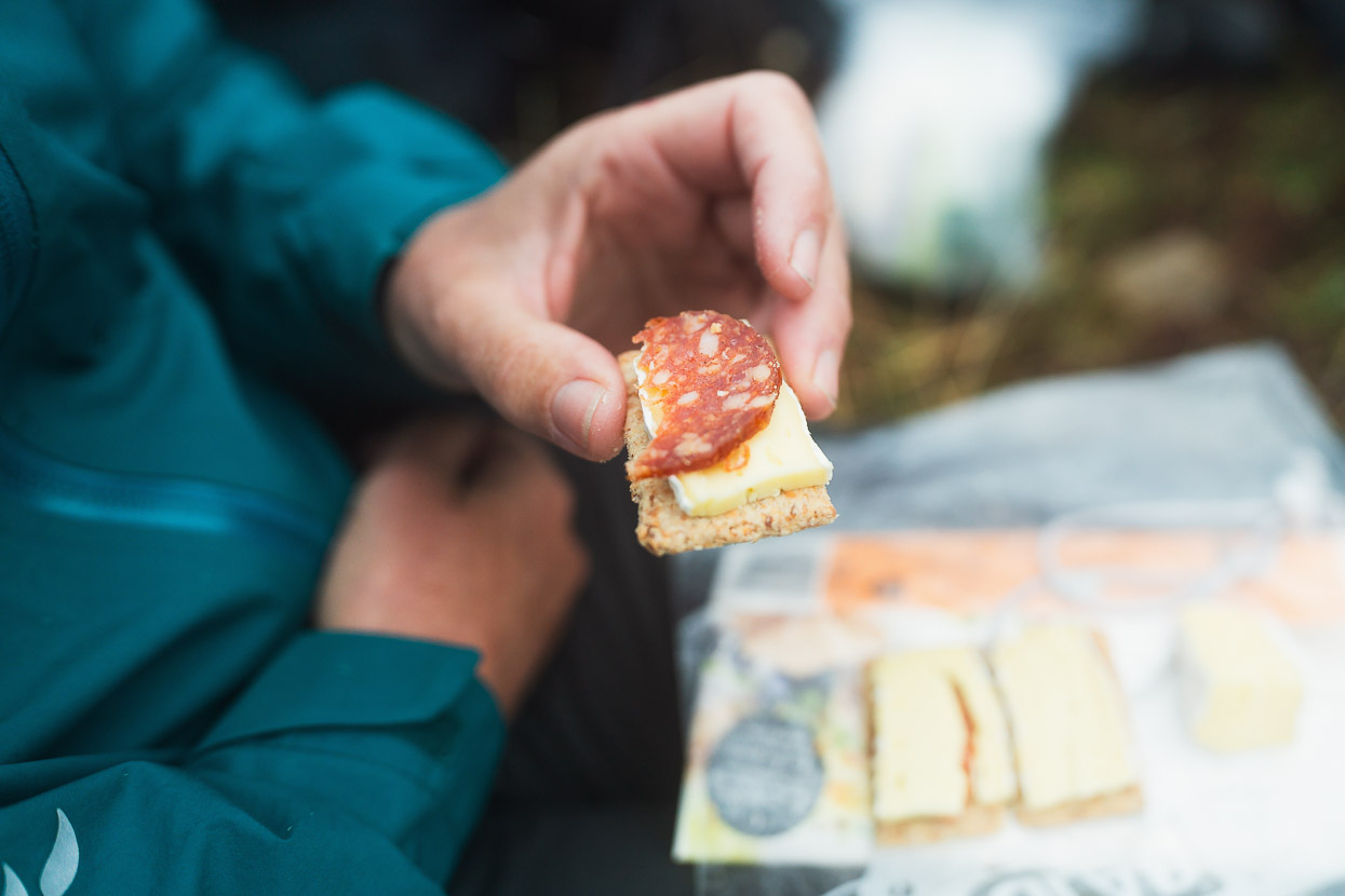
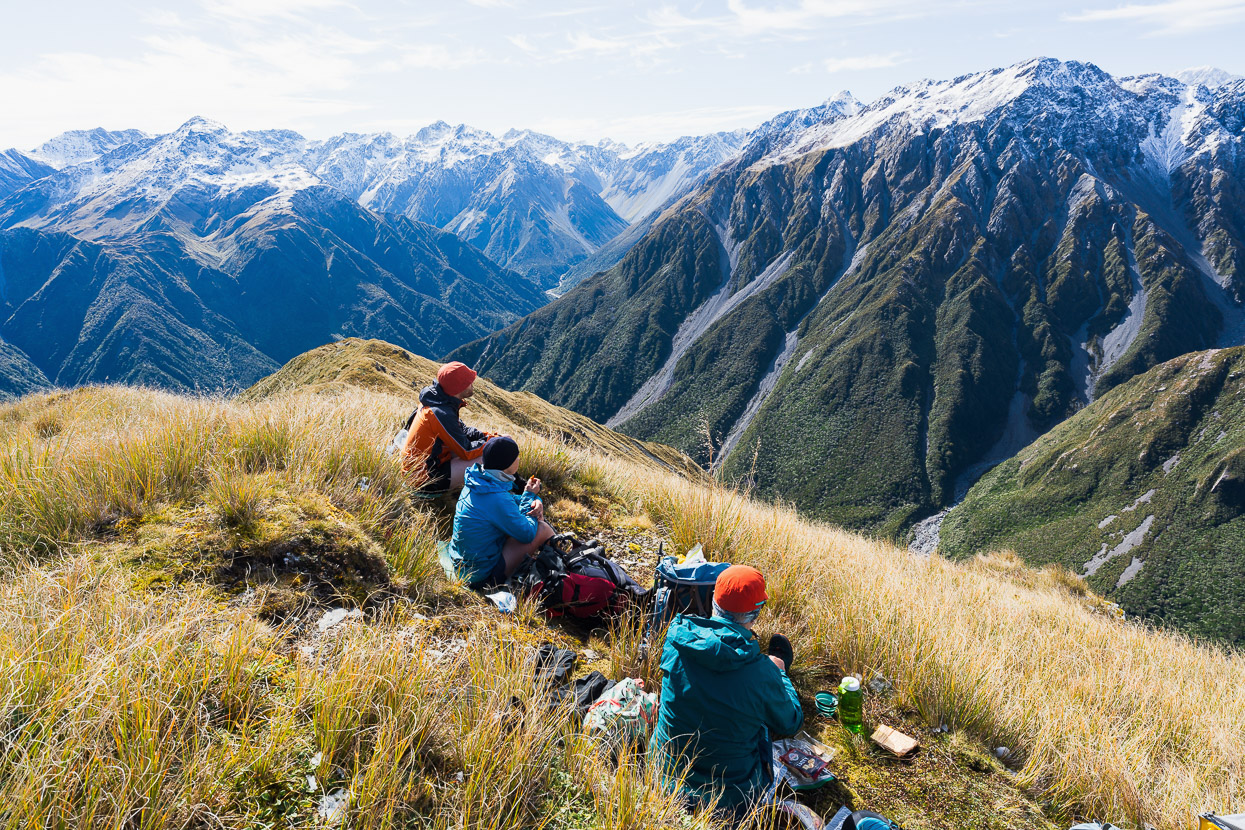
We’d arrived a couple of hours before sunset, and while we sat in the sun outside the biv, enjoying a cup of tea, the rocky peak immediately south of the saddle caught my eye and looked like a tempting goal for a some evening views and light before the walk out to civilisation the next day. The others were content to chill at the biv and nibble cheese and crackers, but I was restless in this amazing environment so I took a windproof and my camera and headed up the tussock slopes.
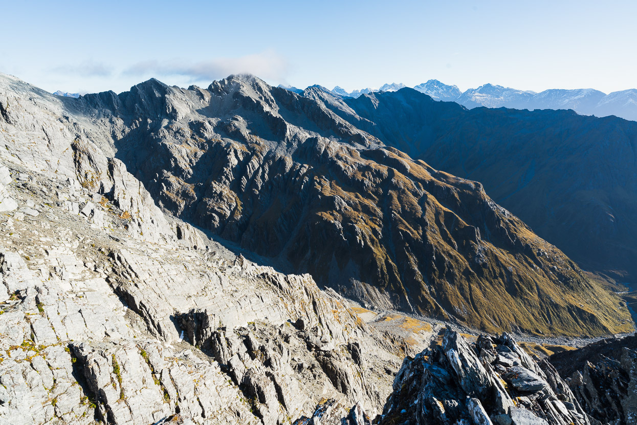
Further up I climbed a broad gully and then wove my way though bluffs. It was steep terrain, with few appropriate lines, so I kept note of the features I passed so I could find my way back down easily. On the crest of the ridge, below the false summit, travel was over big, angular blocks and I scrambled and walked along to Pt 1860m, just under 600 vertical metres above the saddle.
This photo shows the view straight back down to the saddle, with the Whitcombe Valley on the left and the Hokitika on the right. The sun/shadow ridge right of centre is the Meta Range and beyond that, skyline centre, is the Diedrich Range.
Looking SW I could see Mts Evans and Whitcombe on the skyline.
The tents and Frew Bivouac are on the old moraine hump, just inside the sun and below centre in this photo. I was looking forward to getting back down for dinner.
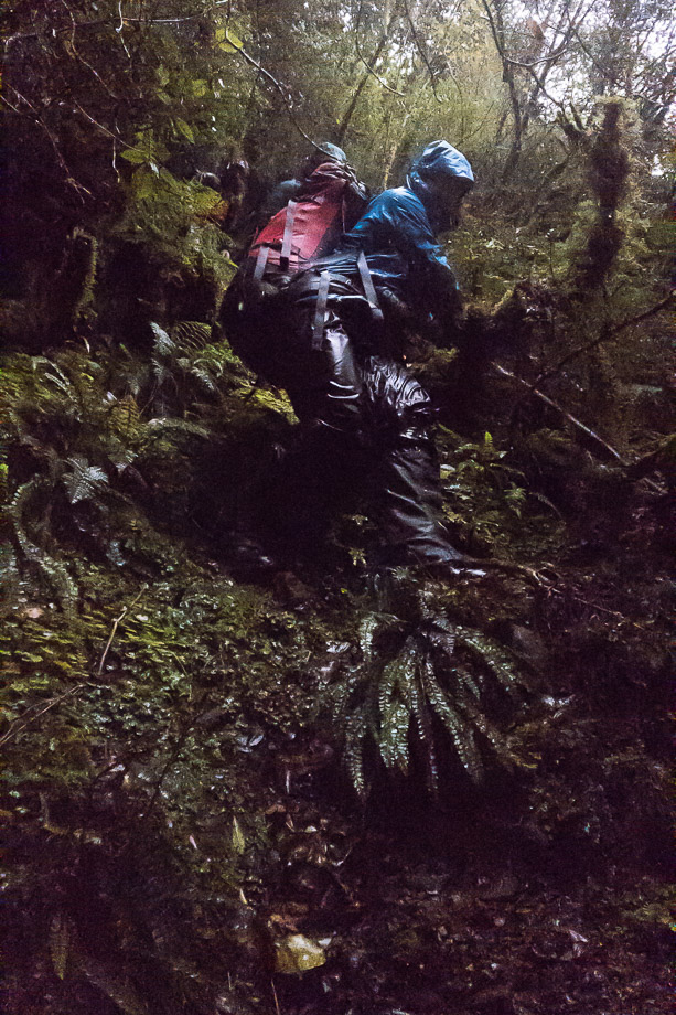
We did about the first hour in the dark in the morning, eager to get out to Hokitika in time for a celebratory meal and to not be too late arriving back in Christchurch. Tramping in the dark is quite enjoyable when you know the creep of dawn will begin and the sun will soon rise. The route follows steep tussock down into a river bed, which is followed for a while (we did most of this in the dark) and then a track commences. We made a final crossing of Frew Creek and were then back in the bush for the first time in a couple of days.
The track down to the Whitcombe was once a benched stock and prospecting route, used for driving cattle over to the Matthias Valley in Canterbury, but there’s not much left of it these days.
Once down in the Whitcombe it’s a different world. Both times I’ve been in this valley I’ve been awed by the size of the river, the giant boulders and the endless bush clad ridges that enclose the valley. The contrast to the tops and headwaters that we’ve been among for days provide a great conclusion to the trip as we make an unhurried return to the world outside the mountains, taking a bit of time to soak it all up.
Rapid Creek had been a marginal crossing for us on a previous trip, when we’d walked from the Arahura to the Whitcombe and it had rained every day. Today it wasn’t an issue.
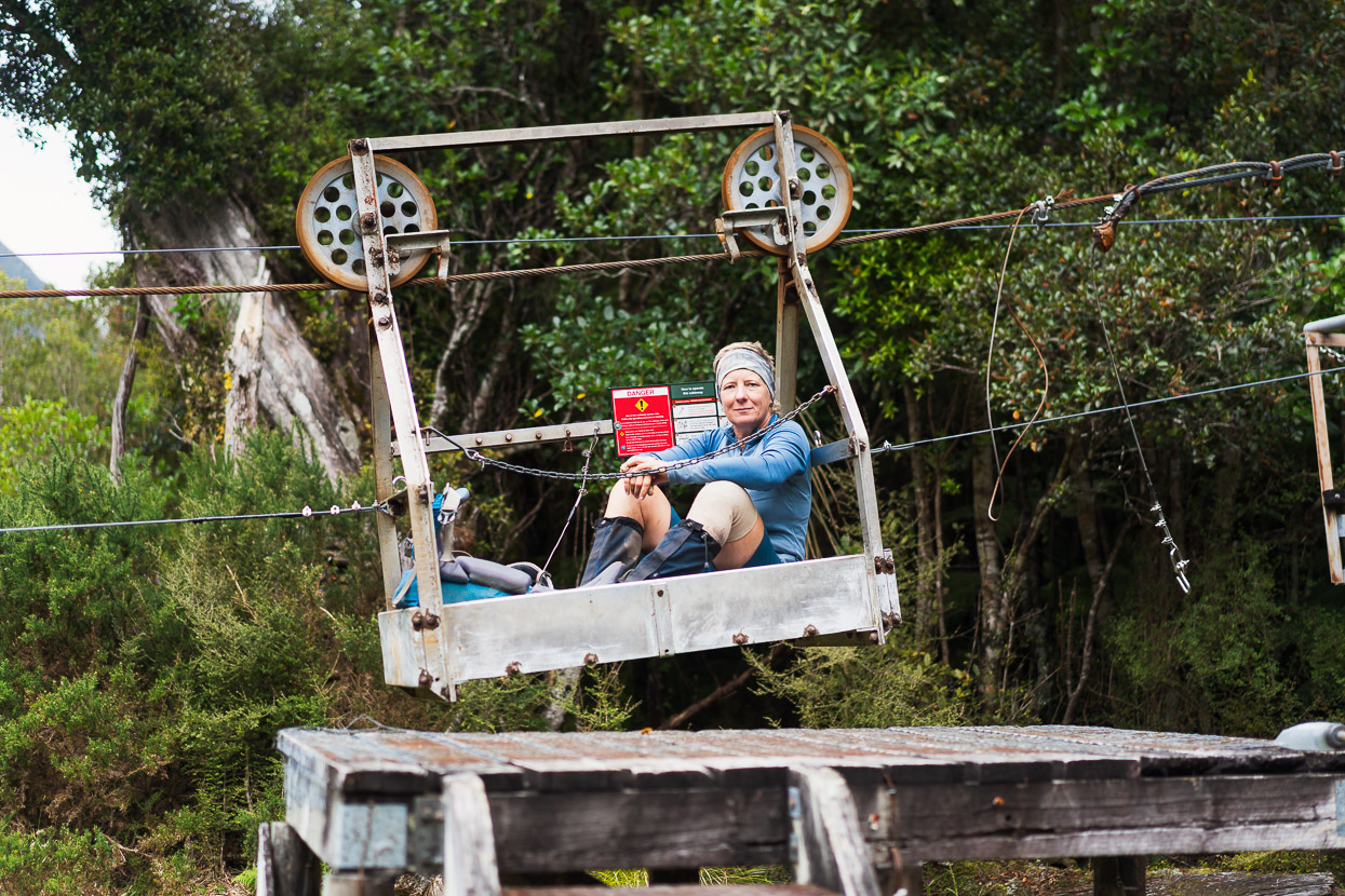

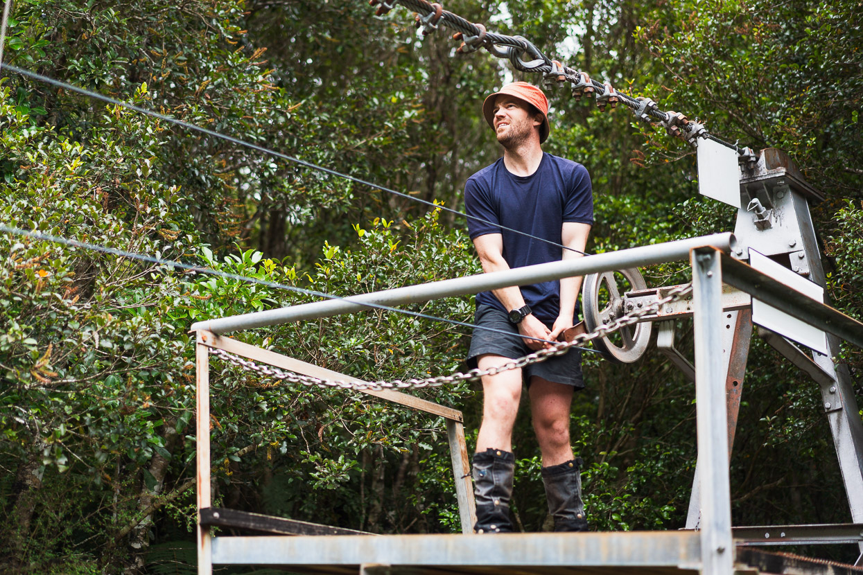
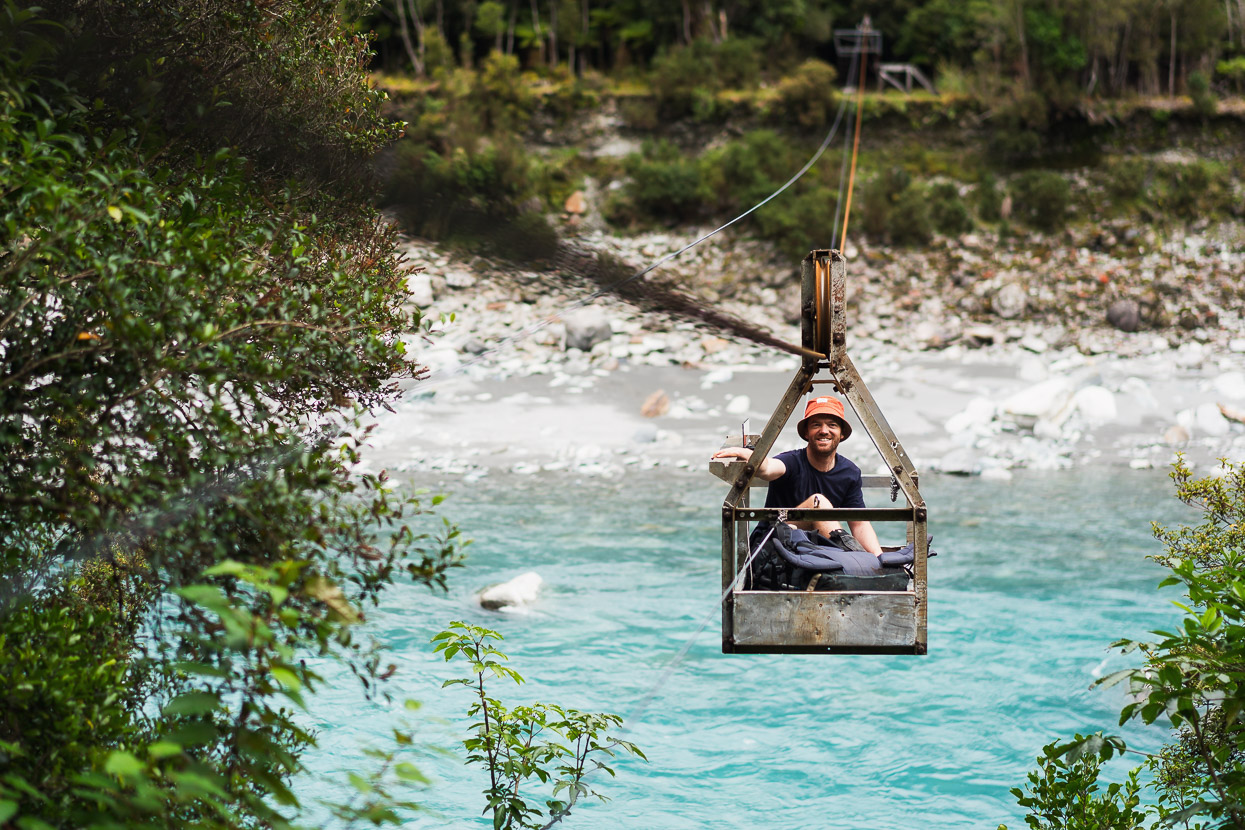
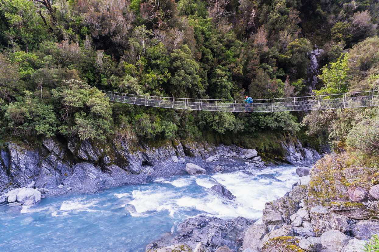
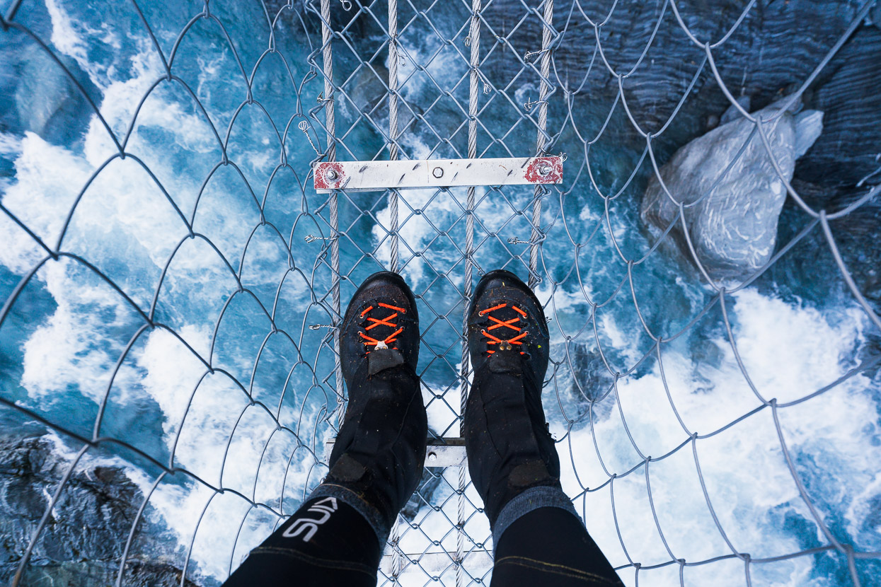
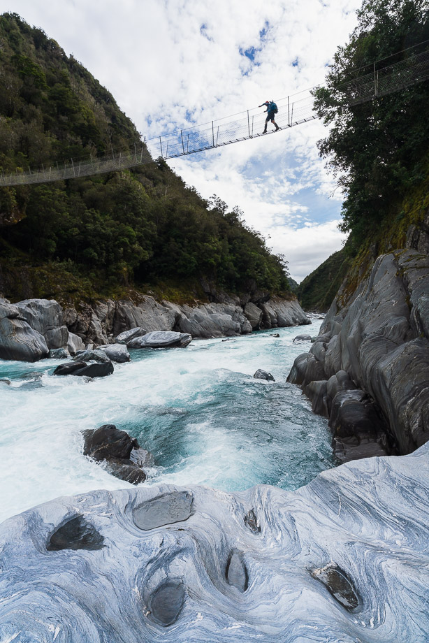
The cableway was a final bit of entertainment after the airy exposure of the swingbridge and from there it was easy walking out to the car. Typically everything started to hurt in that final hour, and we were eaten alive by sandflies in the carpark, but then came dry socks and shoes, a soft seat, steak and beer. So good.
Thanks for reading.
Say thanks with a one-off donation, or check out our Bikepacking guide.
If you enjoy our content and find it informative or inspirational, you’re welcome to show us some love with a donation or a book purchase (US$19.99). The services we use to create our Bikepacking routes and host the website cost money, funds that we’d rather be spending on the road, creating bikepacking routes and content to share with you. Thanks for reading!


I am in awe – way beyond anything I can do, but just love the idea of heading into these hard to reach places. Great photos. Thanks
Always appreciate the effort taken to document an adventure like this. Thanks for transporting me to one of my favorite places in the world with your words and photographs. Cheers
Very beautiful report of this journey.
I attempted the Hokitika Saddle traverse to Mungo hut solo in 2015 but had to backtrack.
I started at the Klondyke corner.
Great to see a party succeed this section!
I will do another attempt to reach Sir Robert hut in Februari, this time from the Hokitika river.
Your blogpost really helped me planning my trip.
Thank you,
Reinout (from the Netherlands)
Thanks Reinout – great to hear it has been helpful & good luck! Sir Robert is a magical spot.