
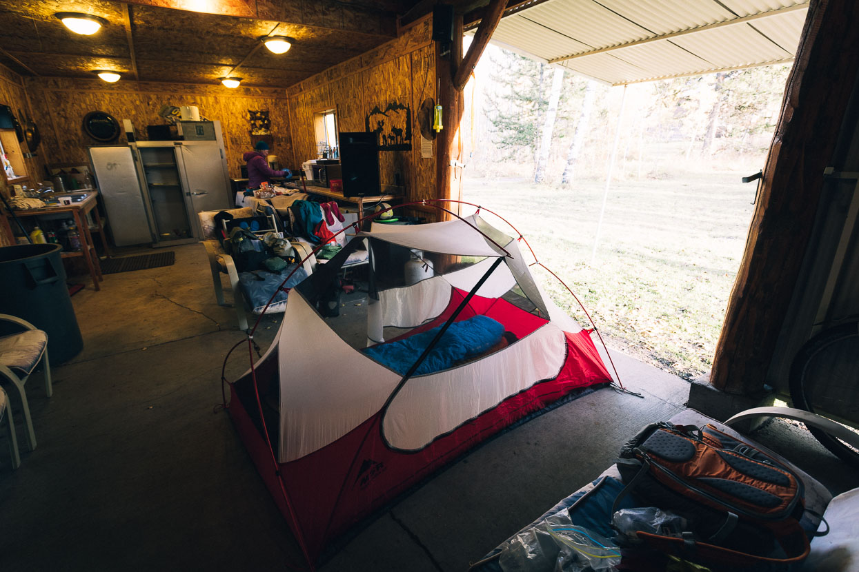
With Wyoming and Idaho in the grip of the first really cold and snowy storm of autumn we decided to take a rest; leaving the Man Cave to ride a few kilometres down to Macks Inn, Idaho proper. There we checked into a motel for some comforts (and most importantly wifi!) to wait a day and let the worst of the weather pass by. Sleet came and went, and snow fell in waves, mostly melting quite fast, but enough lingering higher in the hills to give us cause for concern regarding the upcoming pass we had to cross to get into Wyoming.
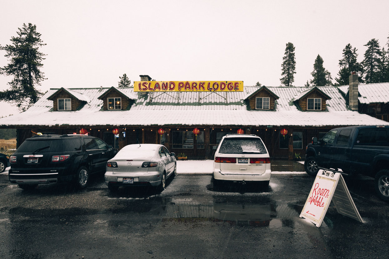
Island Park Lodge made a base for the next two nights and we hid in our room with the heater cranked, catching up on things of an Internet nature.
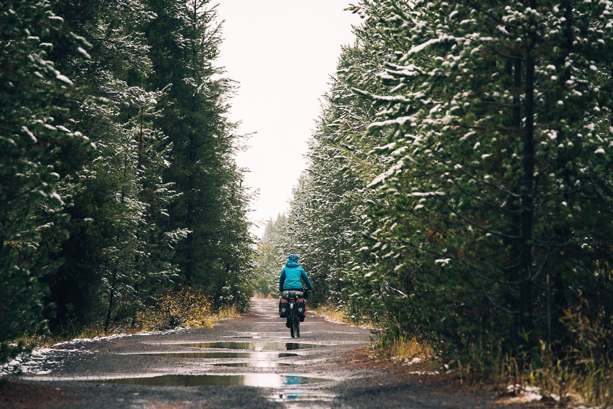
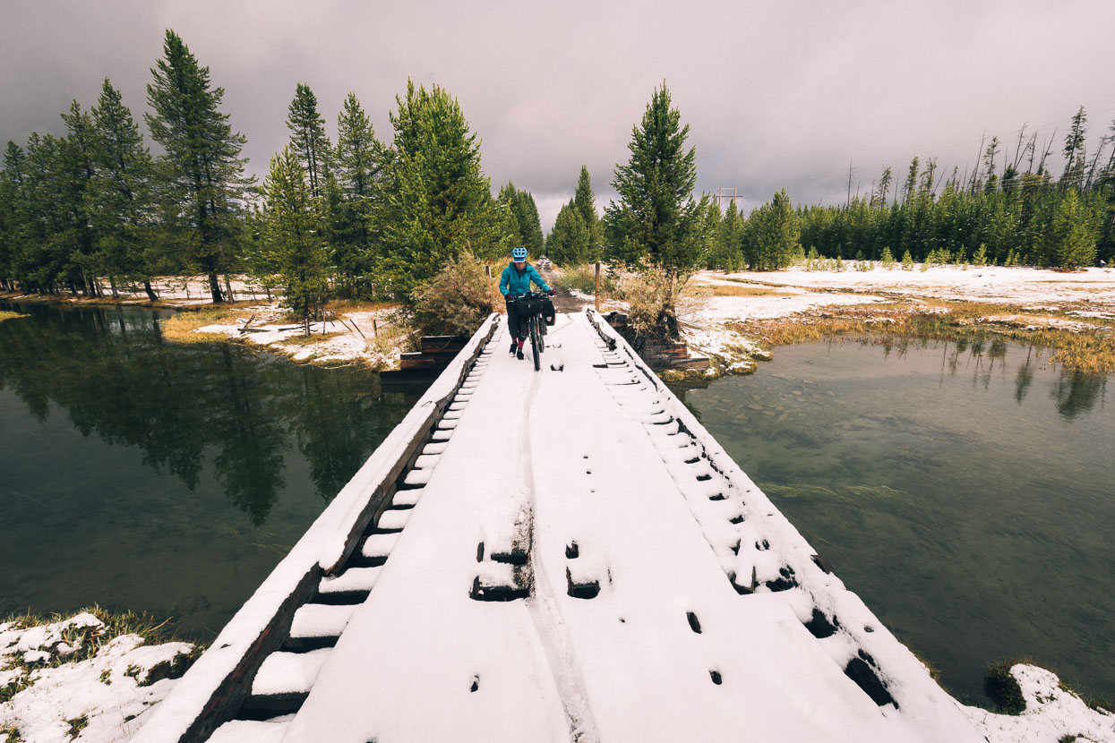
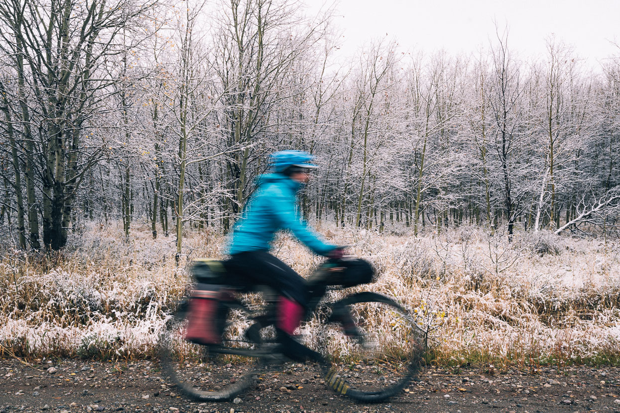
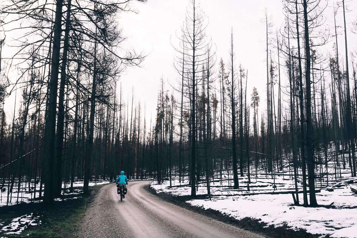
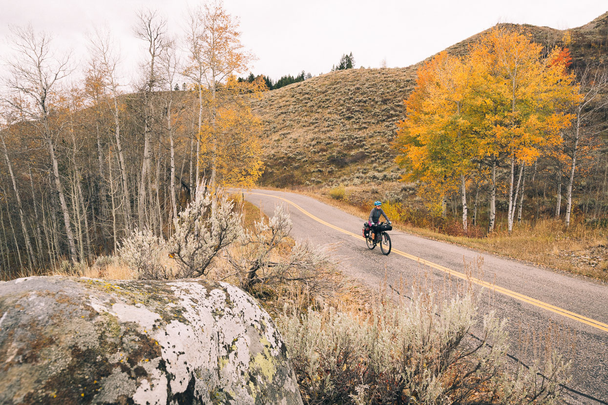
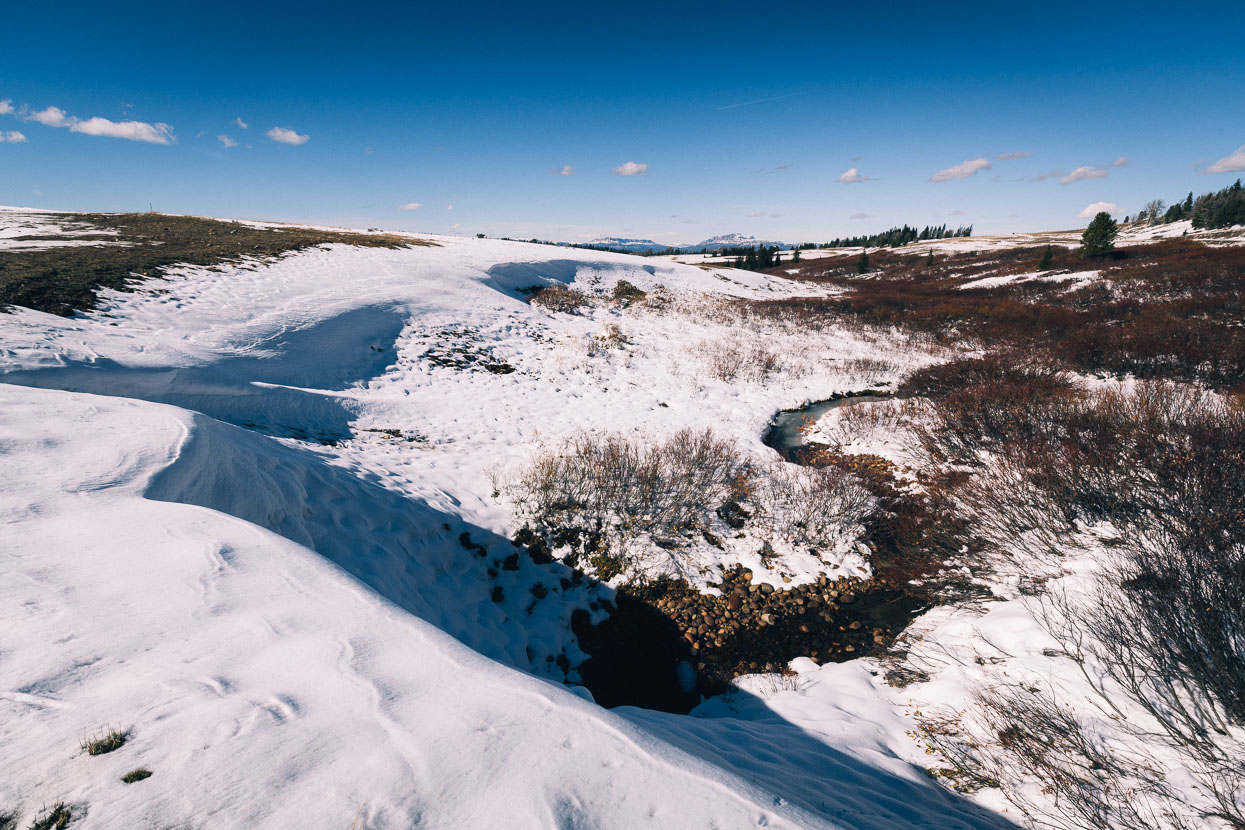
After a day off we hit the trail again while the storm cycle continued, bringing drizzle and fine hail to our elevation and snow higher up. Although following the highway was an option, we decided to try and stick to the route, following the old Union Pacific spur rail line towards Warm River and Ashton. Flooded pot holes made this seem a bad choice for a while, but the trail improved after a while.
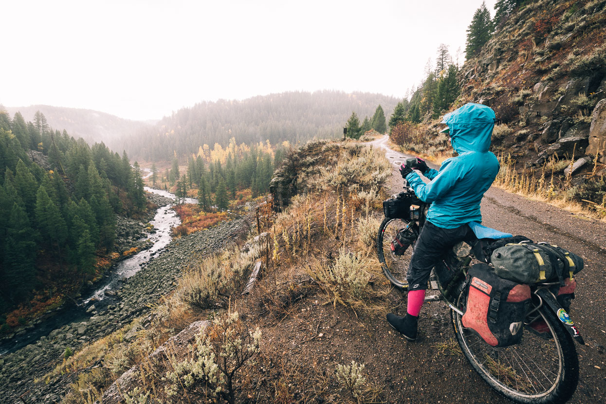
Once the trail emerges alongside the Warm River Gorge the riding gets really good; slightly downhill and hugging the cliff in places.
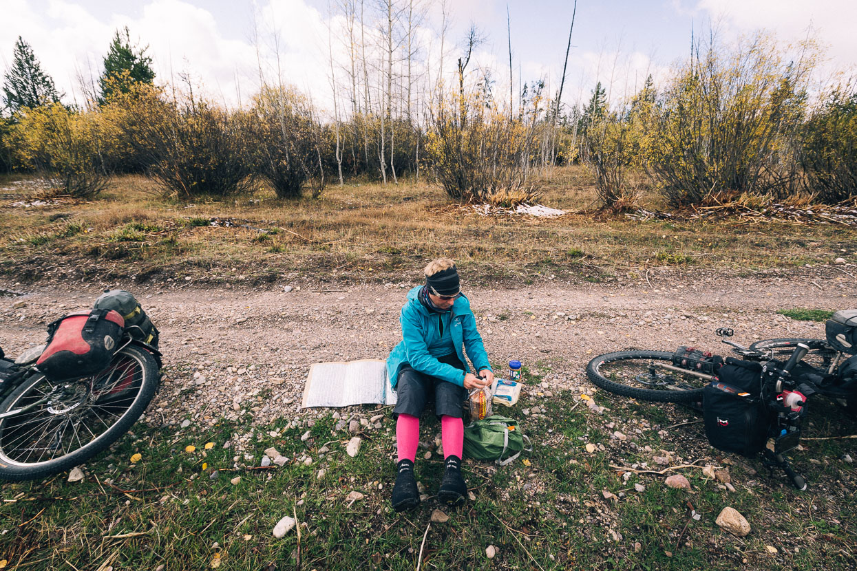
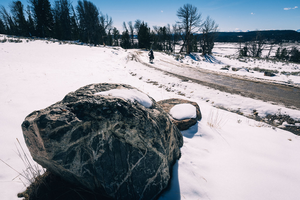
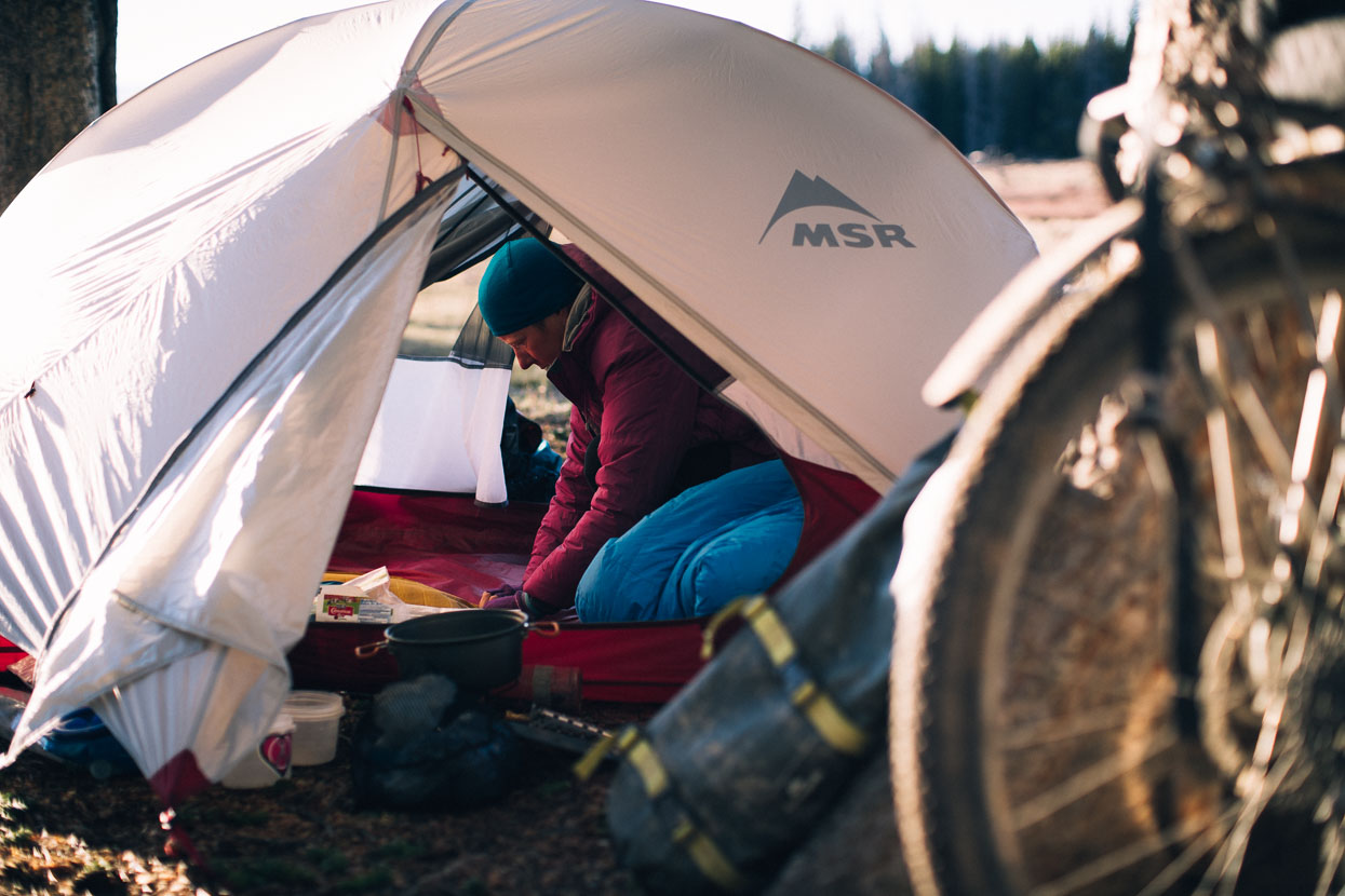
Beyond Warm River camp site we were on paved road for a while, remarking at the sudden change in the landscape. The forest and barren hillsides of previous days was replaced with potato fields and a scene right out of the midwest. The skies continued to threaten and shortly after we secured ourselves a campsite and some shelter for the night it was hailing and snowing again.
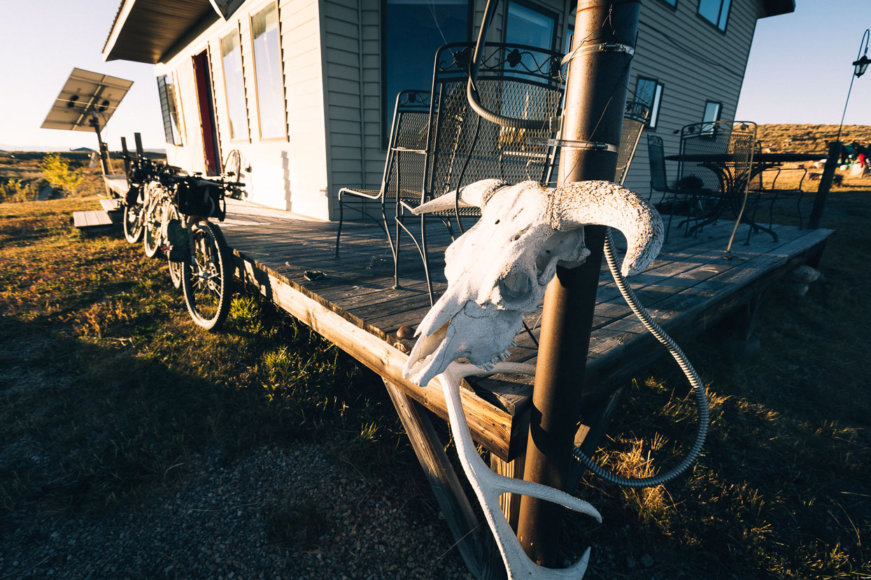
Squirrel Creek Elk Lodge provides camping for cyclists during the main biking season, but had closed for the season, instead hosting hunters. They generously took pity on us though and opened up their summer BBQ area for us to use for the night. Closure of facilities has become a theme at this stage of the Great Divide. This time of the fall many accommodation and restaurant providers shut up shop for the season. Campgrounds winterise and close as people prepare for consistently freezing temperatures and long lasting snow. For us a feeling of doors closing firmly behind us prevails as we make our way south.
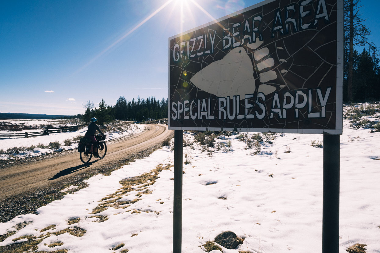
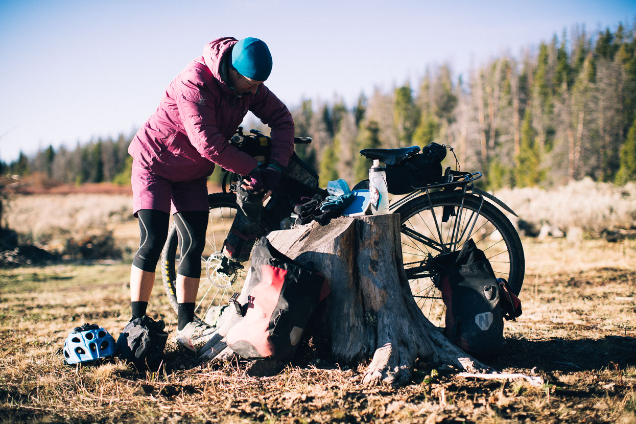
Just one pass remained between us and Wyoming and Grand Teton National Park, which we were looking forward to seeing again after climbing there in 2009. Optimistically we hit the road in the morning, climbing gradually on Ashton Flagg Ranch Road and FR261 towards the Caribou-Targhee National Forest. We were just remarking at how pretty the light snowfall looked on the surrounding trees when a hunter’s vehicle approached from the other direction – the only vehicle we’d seen that morning. They stopped alongside us and leaned out, looking us and our bikes up and down.
“No use carrying on with those – you won’t get through.”
“Really?”
“Yep – two foot of snow on pass – we needed chains.”
“Oh.”
Of the two roughly dressed elk hunters, one was eventually of the opinion that we might be able to trudge through – though not in our “shoes”, while the other – from Miami – was in the “definitely not” camp. This gave us enough confidence to push on and check it out. We reasoned that their wheel ruts would be helpful. Finally they said they were returning that way in a few hours, so we could always hop in the back of the truck.

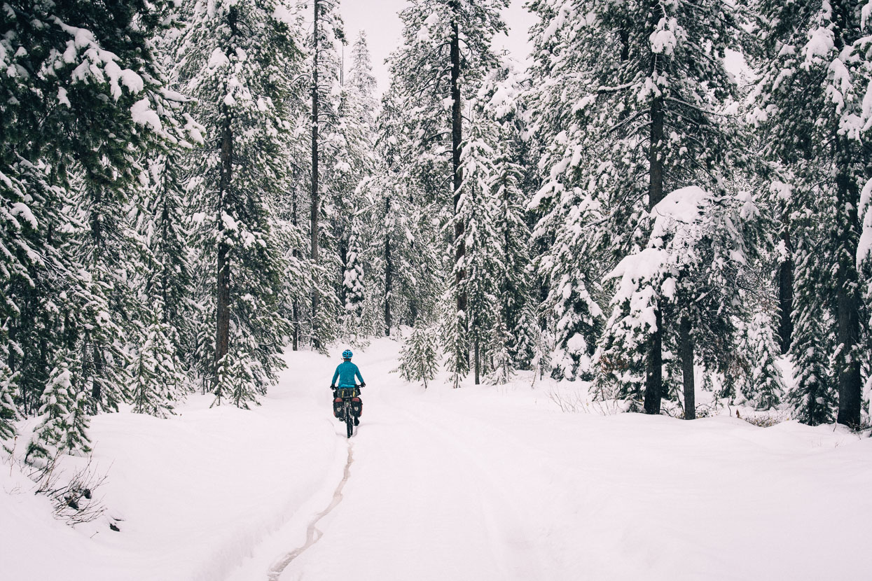
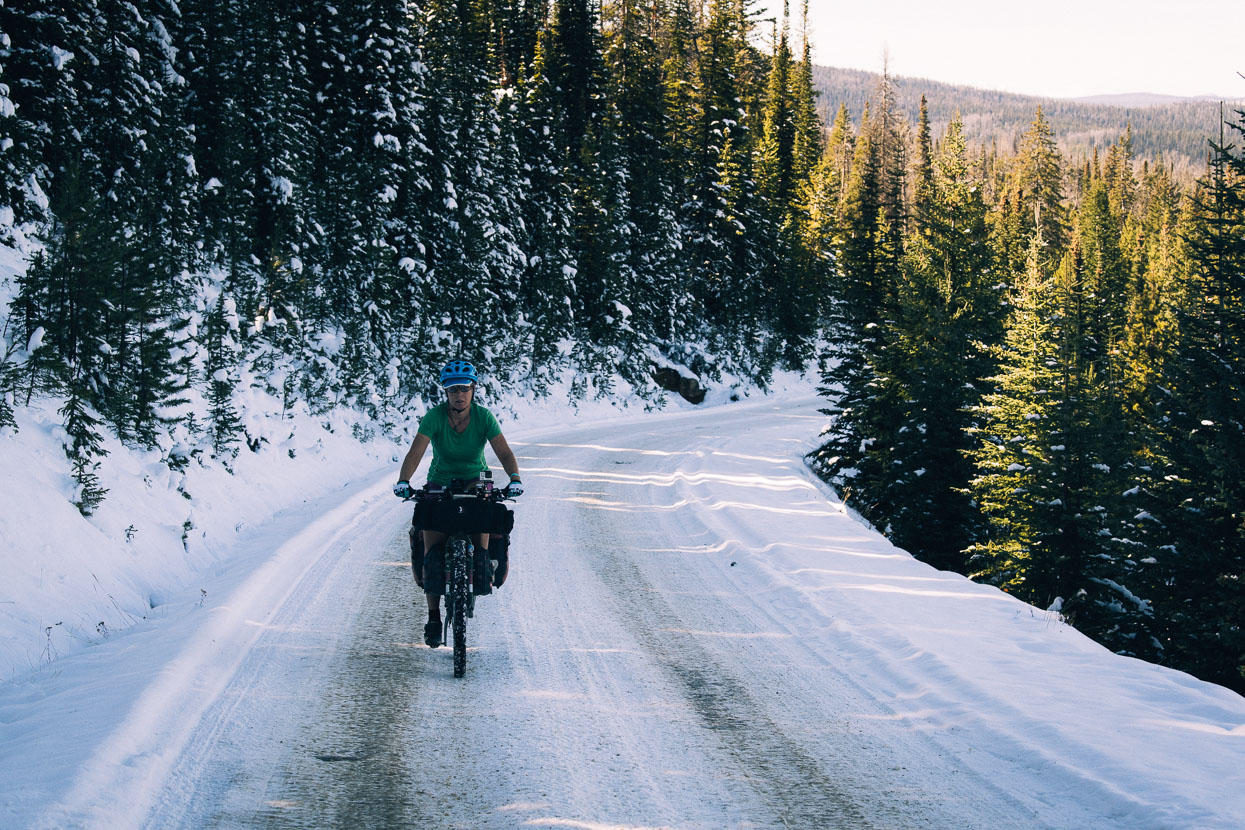
Onwards we rode, at first finding easy riding and thin snow.
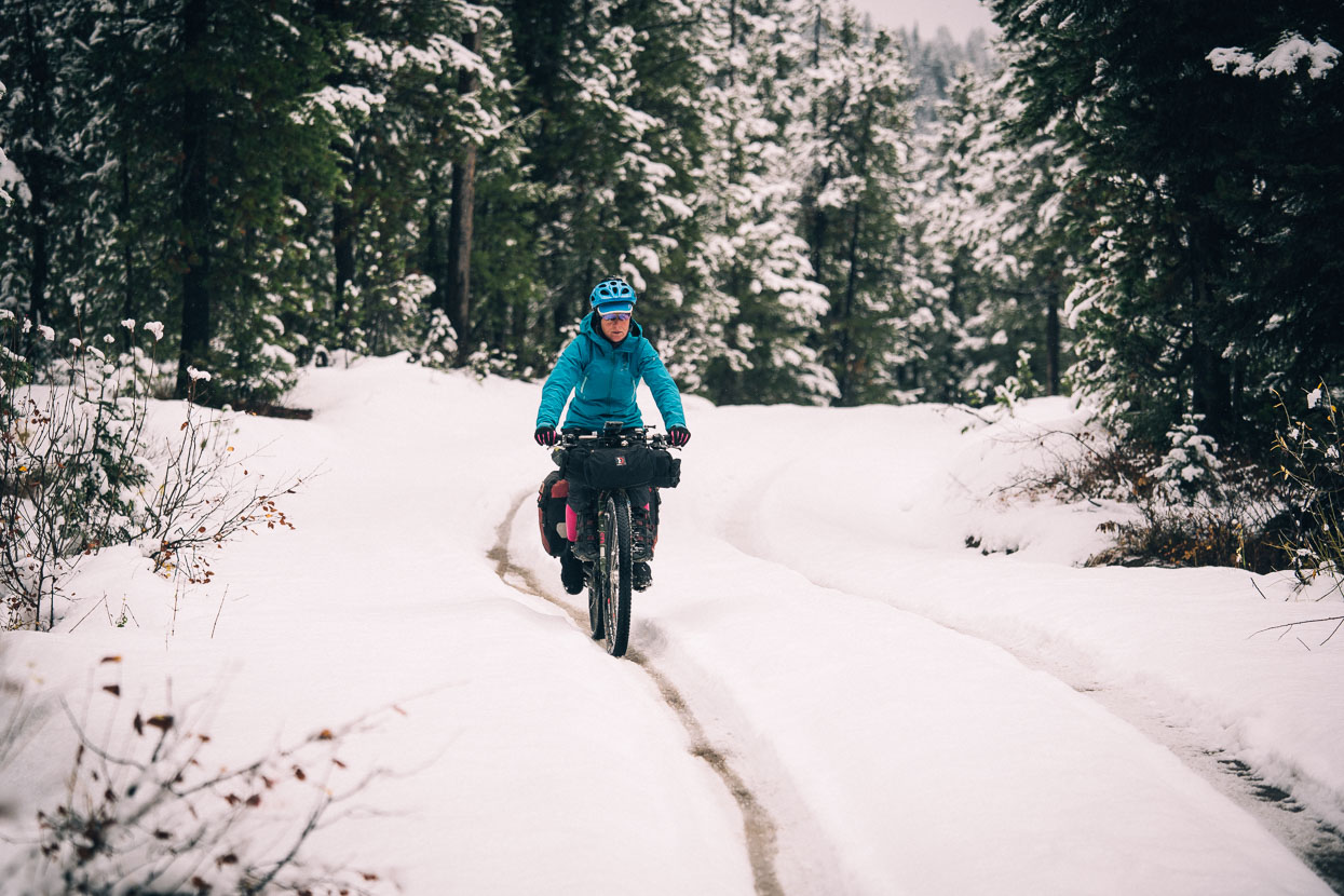
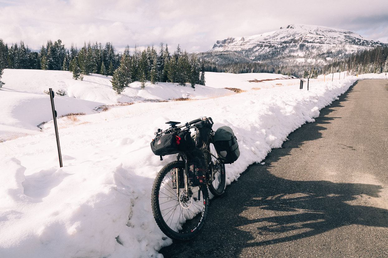
Predictably it deepened as we gained elevation, and it also started snowing again. To the extent that higher up it was a layer two inches thick over the hunter’s tracks.
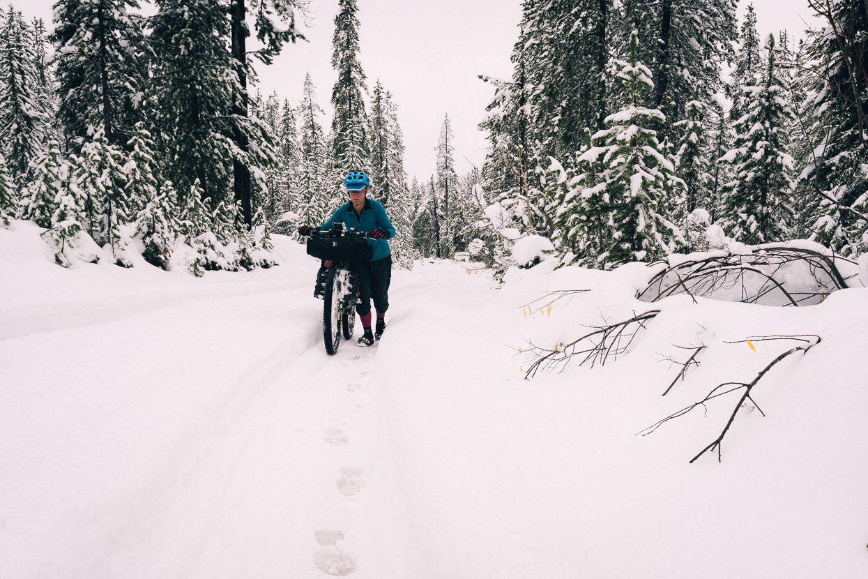
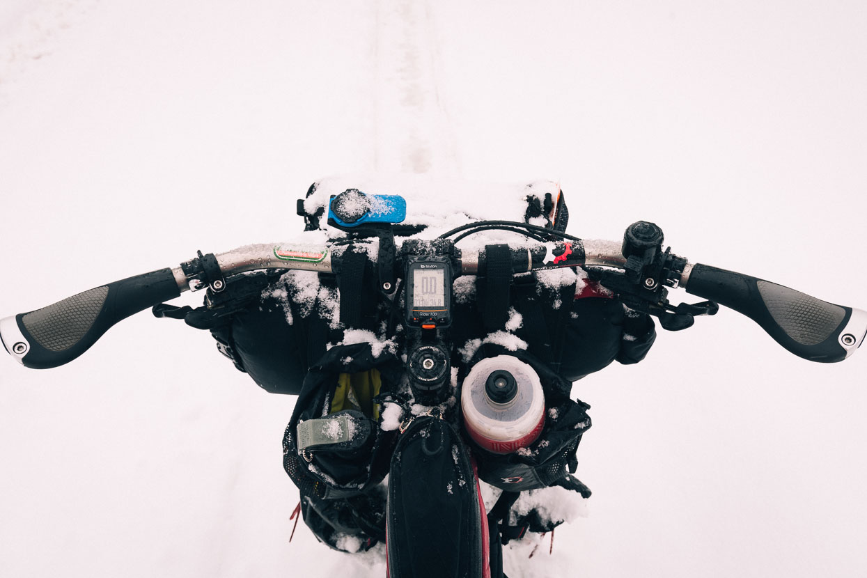
The wheel ruts were our saviour and without these we definitely would have turned back. Most of the time we could ride, albeit with feet slapping through the snow either side of the rut and frozen pedals. When traction wasn’t sufficient as the grade kicked up we got off and pushed.
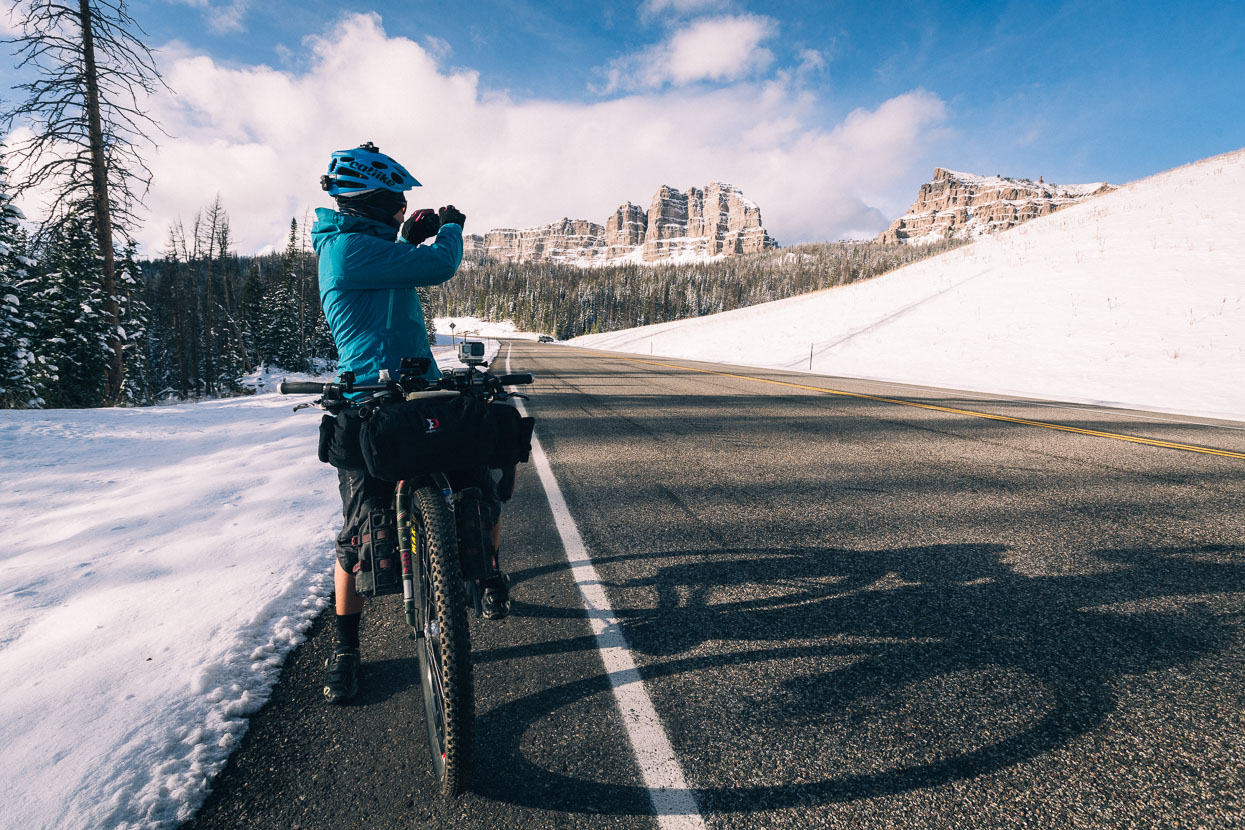
The crux came near the top of the pass as the snow deepened to 2–3 feet and the road steepened. Some definite grovelling followed. Especially down the other side as we skidded around on the hardpacked frozen snow in the bottom of the rut. A couple of crashes and some ‘tripod’ (one foot out) descending followed.
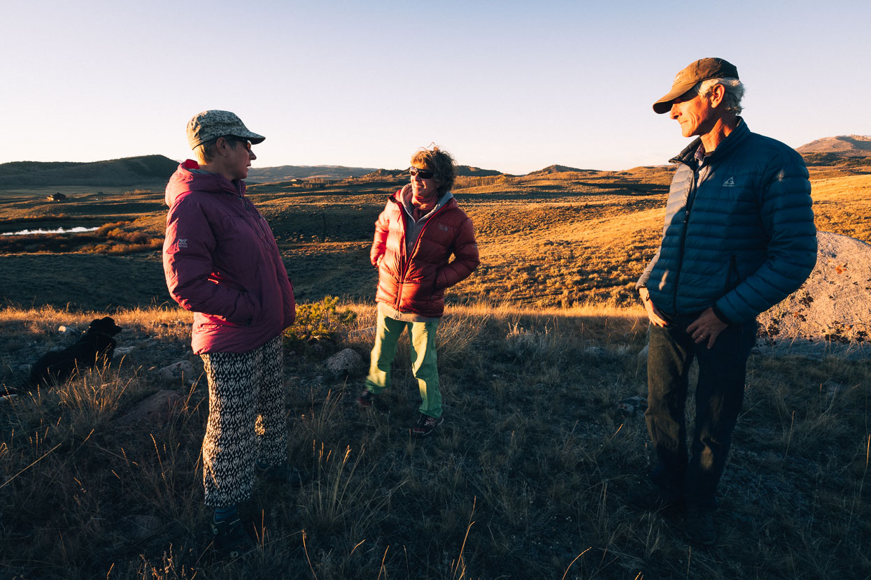
An elderly marten trapper driving from the other direction in a truck with chains on asked if we were “completely mad” before driving on slowly himself. On his return about 30 minutes later (we were riding ok by this stage) he expressed a desire to “get us out of there”, and it took a polite refusal and the explanation that we’d made it that far from Alaska and weren’t ready to give up to convince him otherwise.
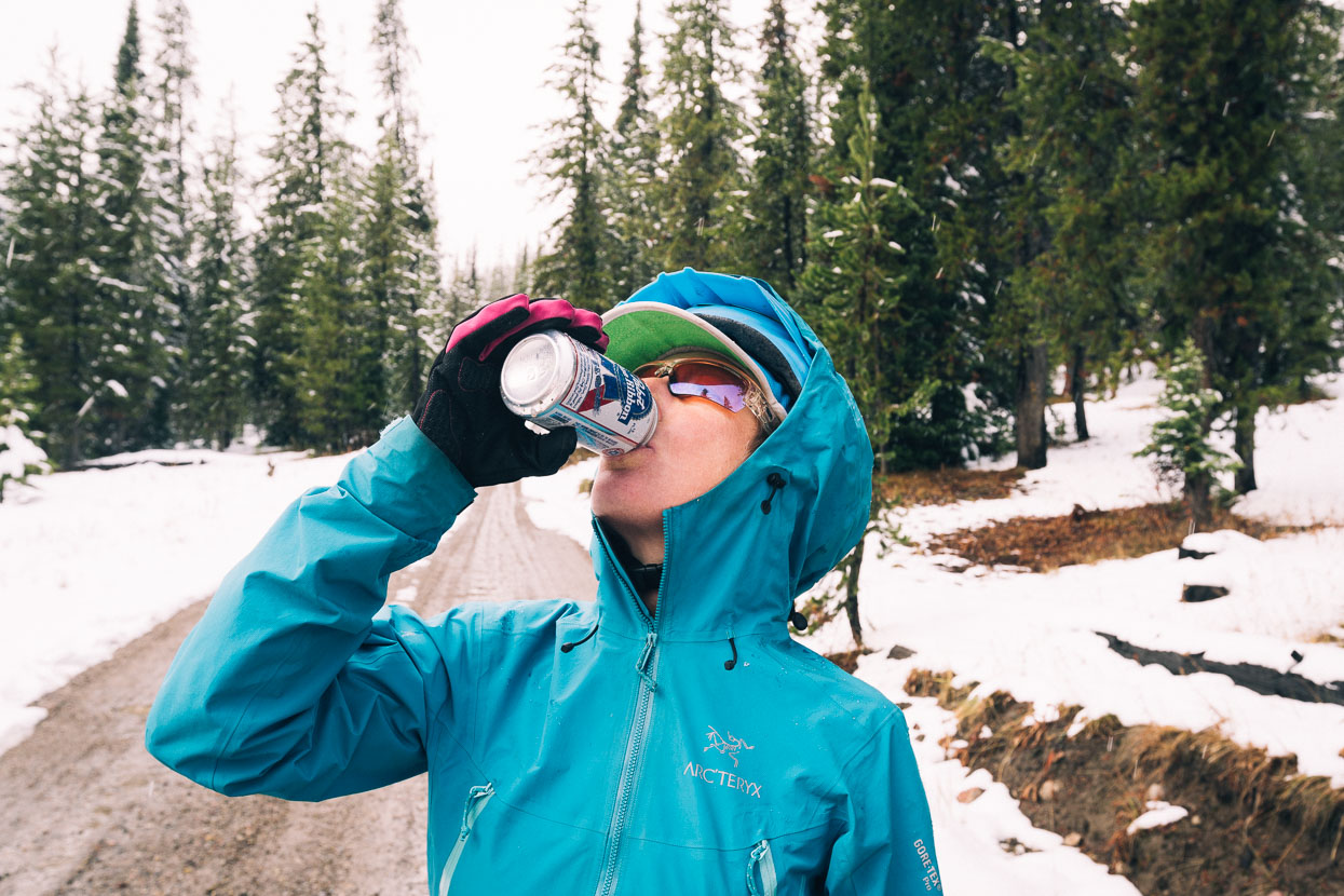
A little later the two elk hunters returned and were incredulous that we’d made it on our own; rewarding us with four cans of Pabst Blue Ribbon. This reminded me of a photography saying: The best camera in the world is the one you have with you. This concept also works for beer and we made short work of one to wash down a late lunch.
With the gentle descent of the road we gradually made our way out to a snow-clear road, passing through the site of recent forest fire. The smell of charred trees was powerful, and the blackened ground riven with water from fire fighting efforts.
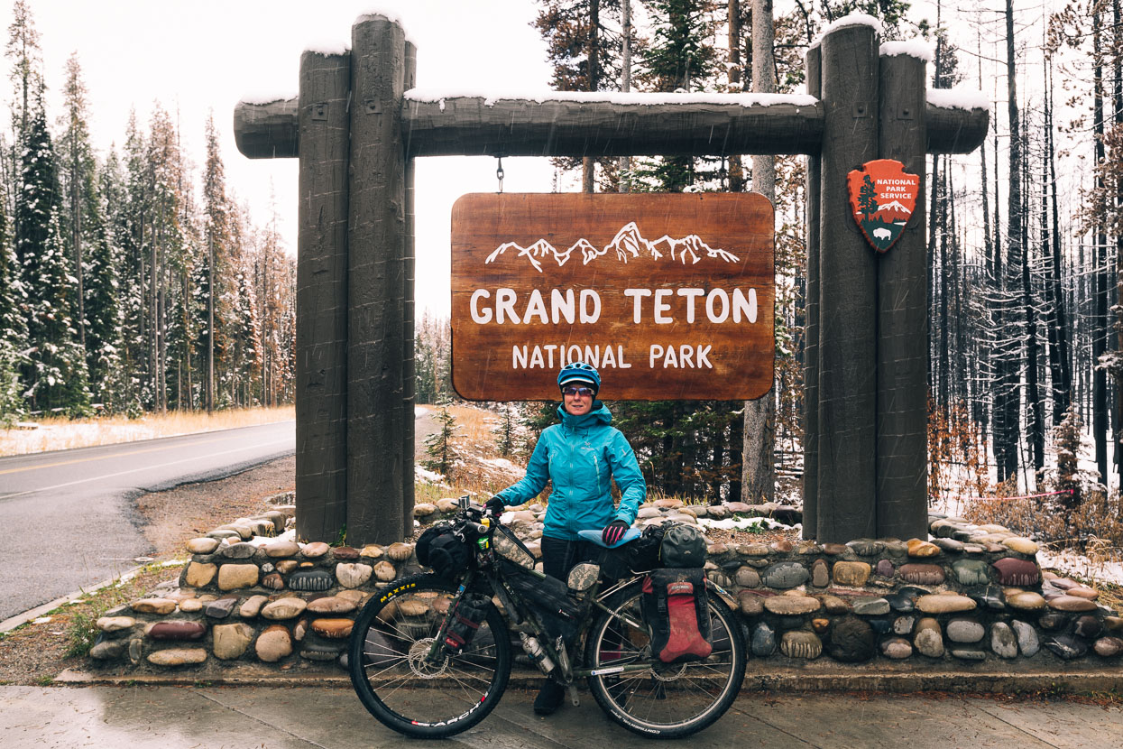
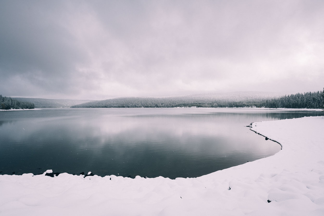
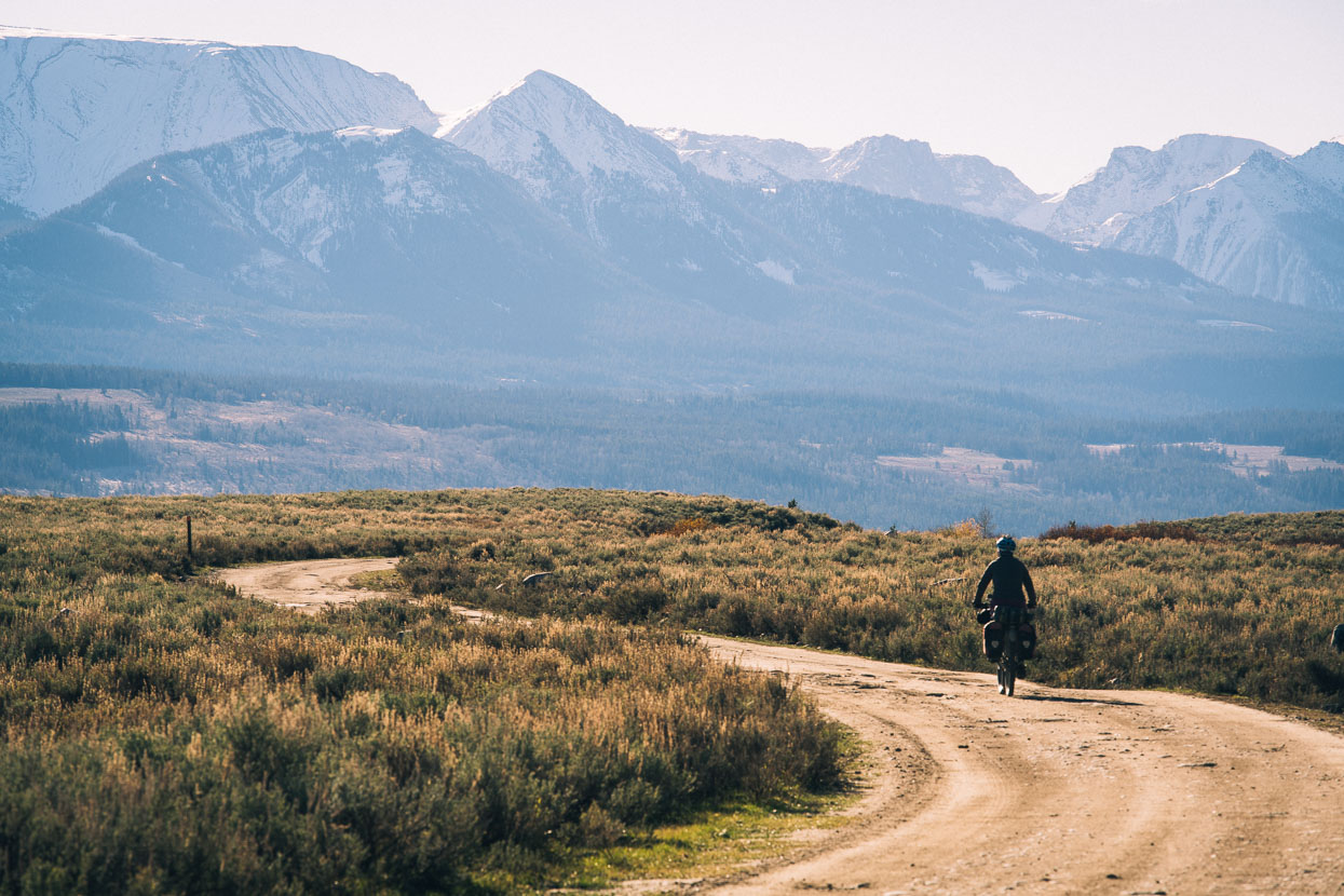
At Snake River the route takes to the main highway into Grand Teton National Park, so it was a relatively quick ride, through occasional snow showers and drizzle, into Signal Hill, alongside Jackson Lake and opposite the Tetons.
Night was falling as we arrived at Signal Hill cold and hungry. As we locked the bikes – anticipating the warm restaurant – we got talking to Tim, a park search and rescue staff member who’d said he was also off touring in a few weeks. Later, during our meal we saw Tim again and beckoned him over to quiz him about road conditions on the upcoming passes. Tim then kindly offered us a bed for the night in his park service house, just 100 metres away. We spent the rest of the evening chatting biking and climbing over beers in his kitchen. Tim’s on his tour now, heading west to the coast and then south (check out his Instagram).
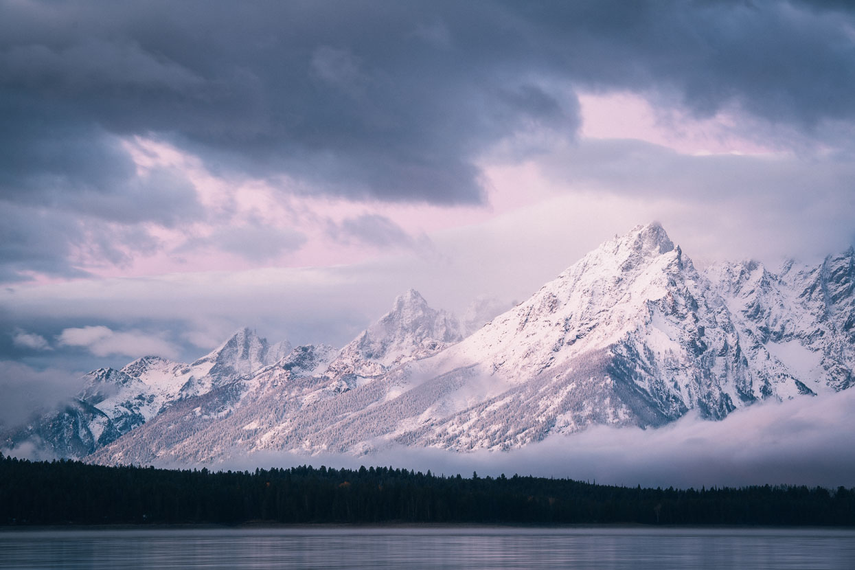
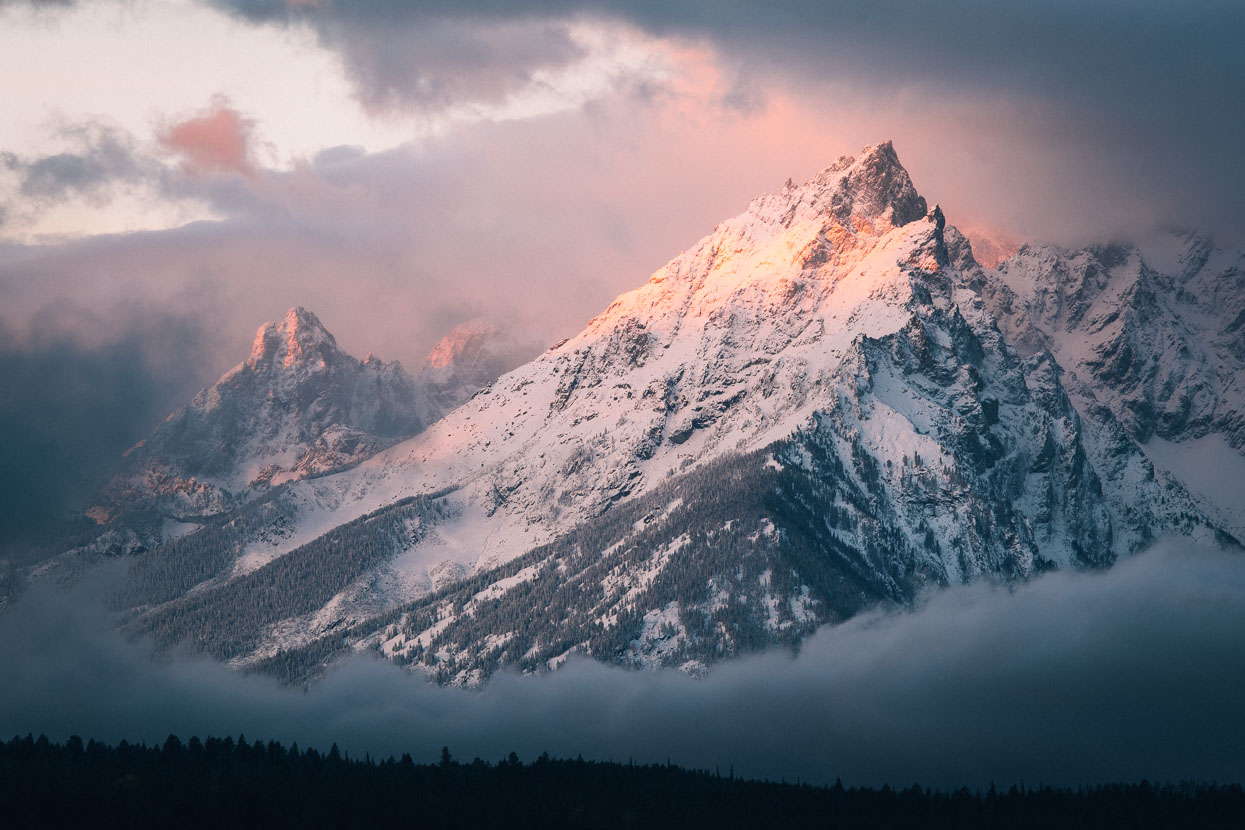
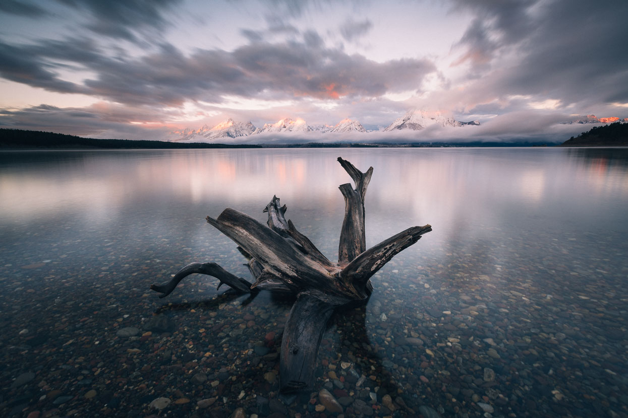
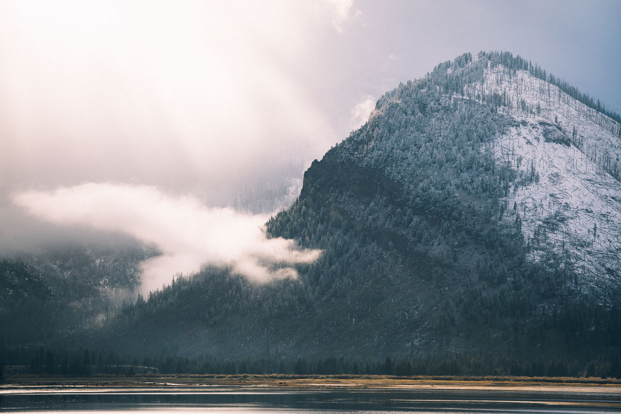
We got a very lucky break in the cloud in the morning, catching the Tetons in dawn light across Lake Jackson.
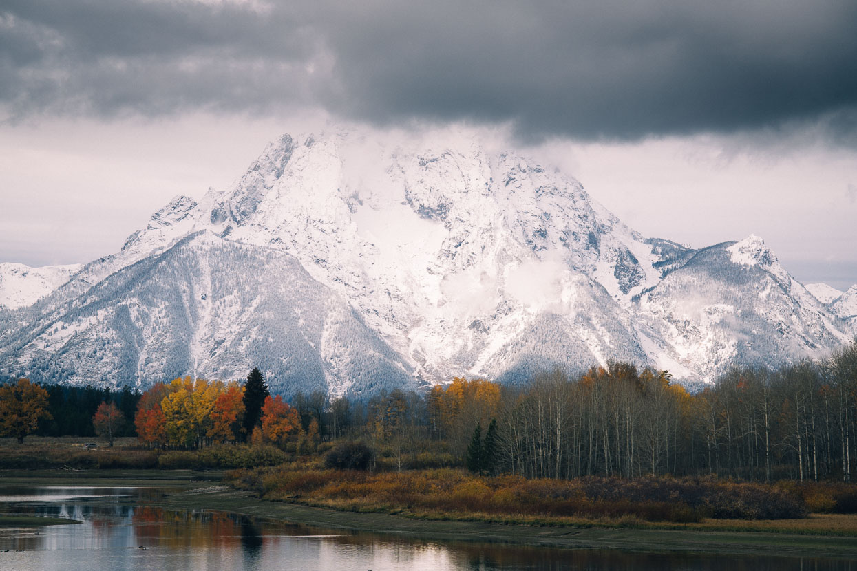
Not long after the tops of the peaks were under their cold blanket of cloud again.
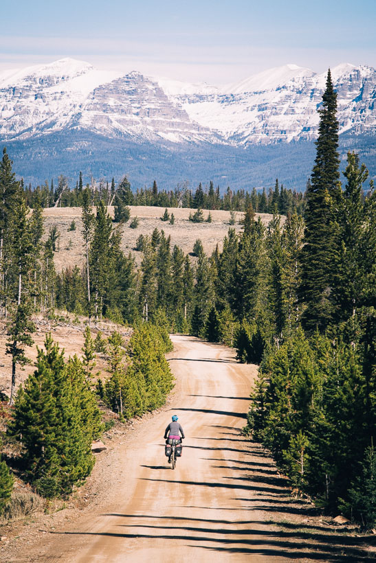
Pavement and then dirt back roads carried us on towards the paved Togwotee Pass (2944 metres).
The snow had drifted deep on Togwotee Pass, but the highway was consistently clear giving us a good run over the pass and down past some beautiful peaks towards the Wind River and Lava Mountain Lodge where we spent the night in a cabin.
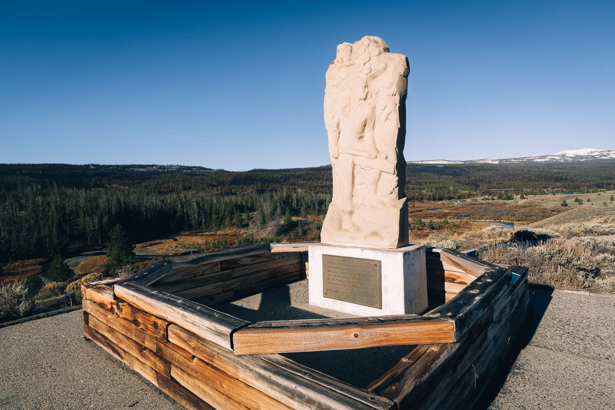
The Tie Hack memorial alongside Wind River. A memorial to the pioneering rail road workers who pillaged the forest for rail sleepers. These specially trained loggers specialised in efficiently felling trees, and cutting and shaping them to the required dimensions; work that was usually done in the freezing conditions of winter as it was easier to move the ties over the winter snowpack. The ties were then stashed, before being floated down the Wind River in during the high flows of spring.
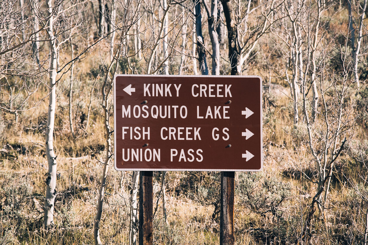
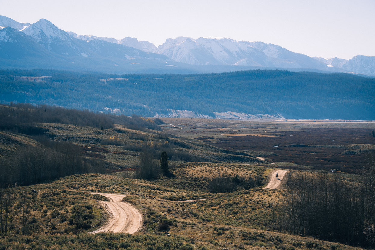
We got a great warmup for the notorious Union Pass the following morning, following virtually deserted forest roads through the high country leading to Union Pass Road.
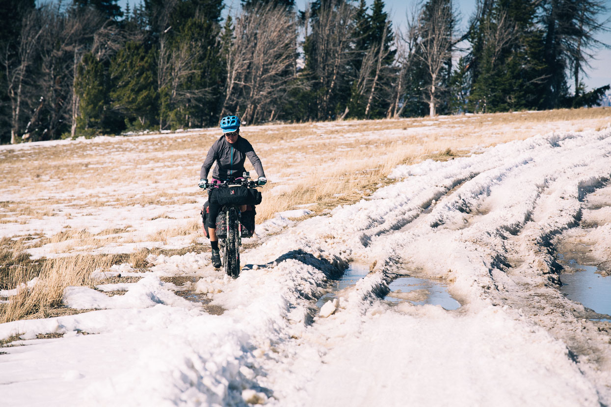
At 2808 metres, Union Pass was our highest dirt road pass to-date on the trail. Shady aspects near the top still held frozen snow – thankfully in short sections – but over the top and in the sun conditions were pretty sloppy. Snow had drifted three feet deep in places but fortunately had been chewed up by hunters vehicles, giving us a ridable line most of the time.
Once over the high point of the climb (higher than the pass itself) the road stays high for quite some time, passing through beautiful alpine country.
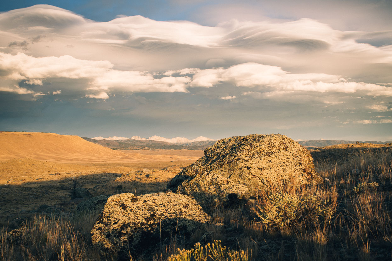
Late in the day we finally began dropping towards lower ground, the Wind River Range coming into view as we did so.
We stopped for the night at Mosquito Lake. Fortunately absent of its namesake insects. Instead we were kept company by the high pitched and haunting yipping and howling of a posse of coyotes.
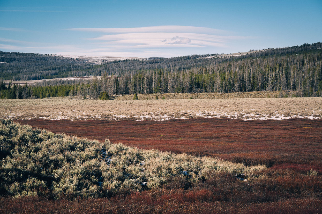
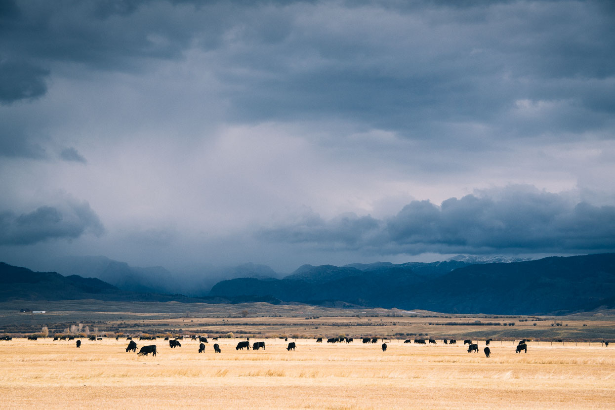
Nice riding in the morning carried us lower and lower towards the Green River – the chief tributary of the Colorado River, which it joins in Canyonlands, Utah. The Green River’s source lies in the Wind River Range, now alongside us as we headed down valley towards Pinedale.
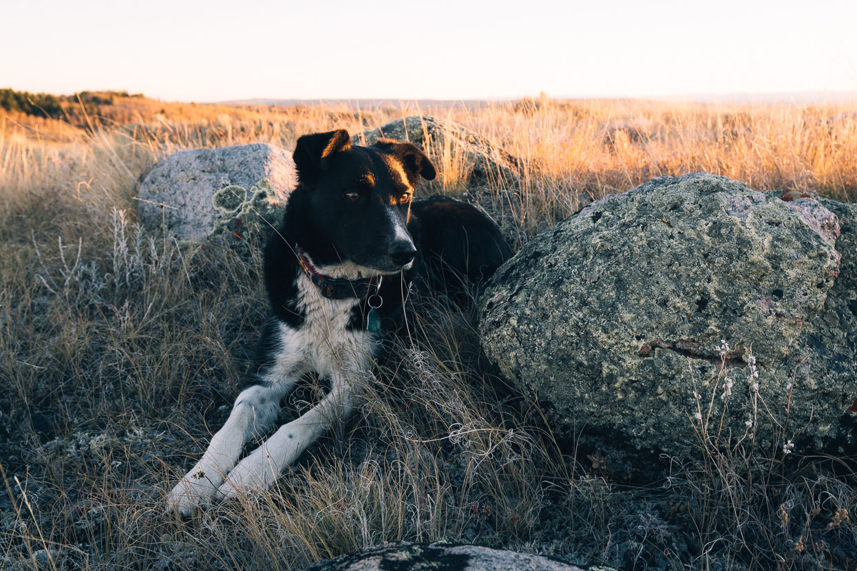
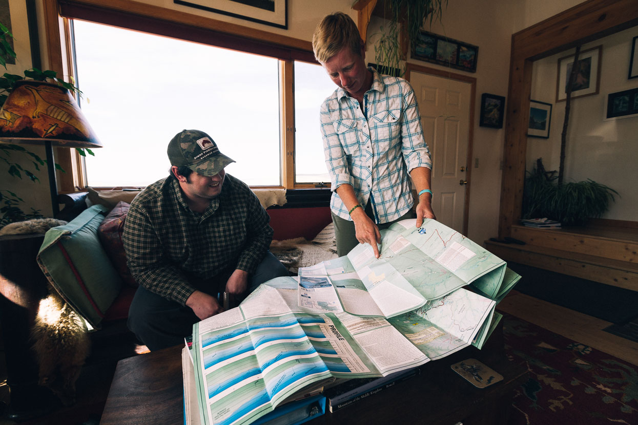
We had comforts to look forward to in Cora, near Pinedale, where the mother of a good friend of ours (Tess) from NZ lives with her partner Jamie. Long time locals, Rita and Jamie (and dog Buddy) were great hosts and company: feeding us, showing us some local sights and generally showing us a really good time.
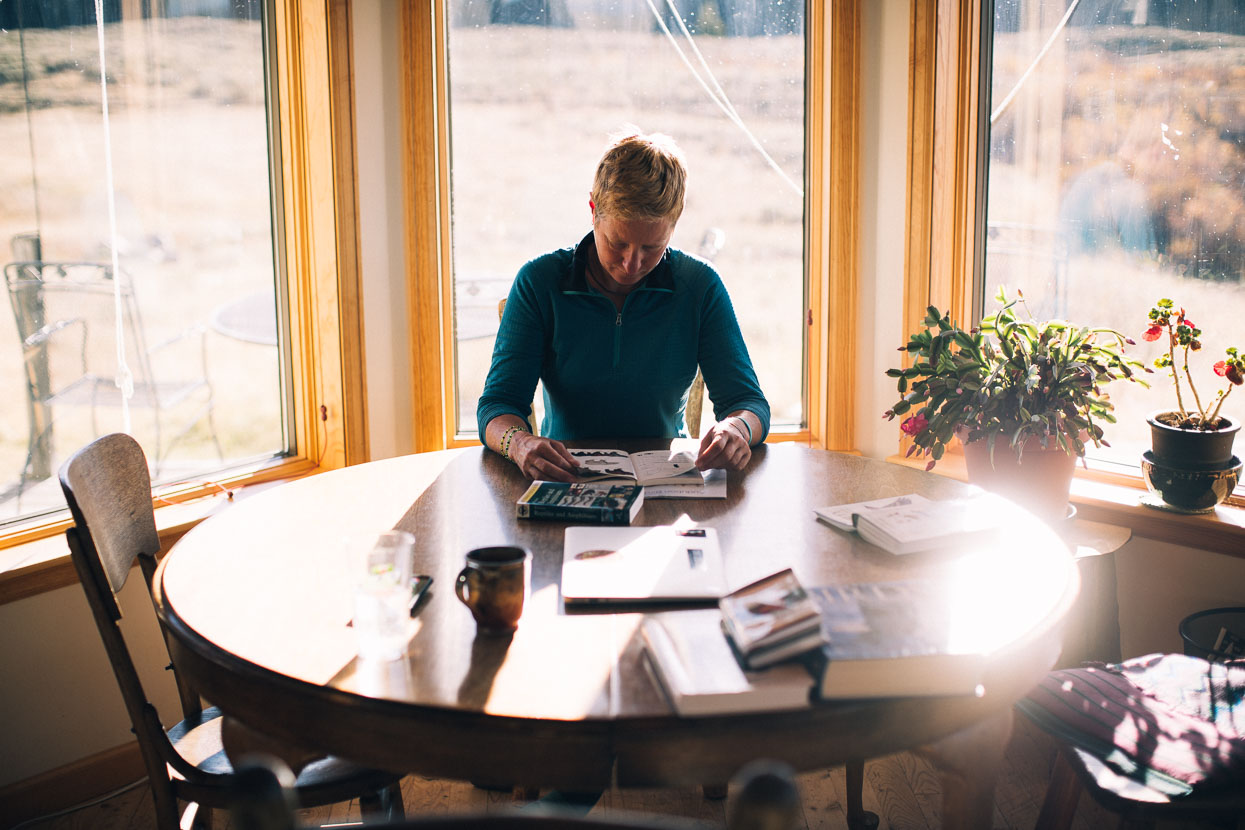
After months on the road, staying in people’s private houses is a real luxury. While motel rooms and cabins might provide comfort for the night, there is nothing like being in a real home.
Well connected, Rita got onto the local paper and encouraged them to do a story on our Alaska to Argentina journey. Mike Moore, reporter for the Pinedale Roundup, did a great job of the subsequent story. Thanks Mike!
Stormy weather blows through the Wind River Range.
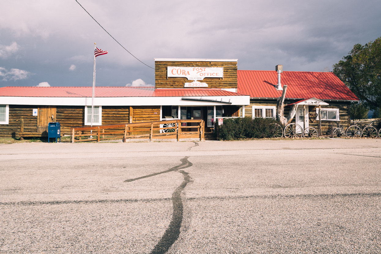
Cora Post Office – recipient of our parcel of warmer clothing for the road ahead.
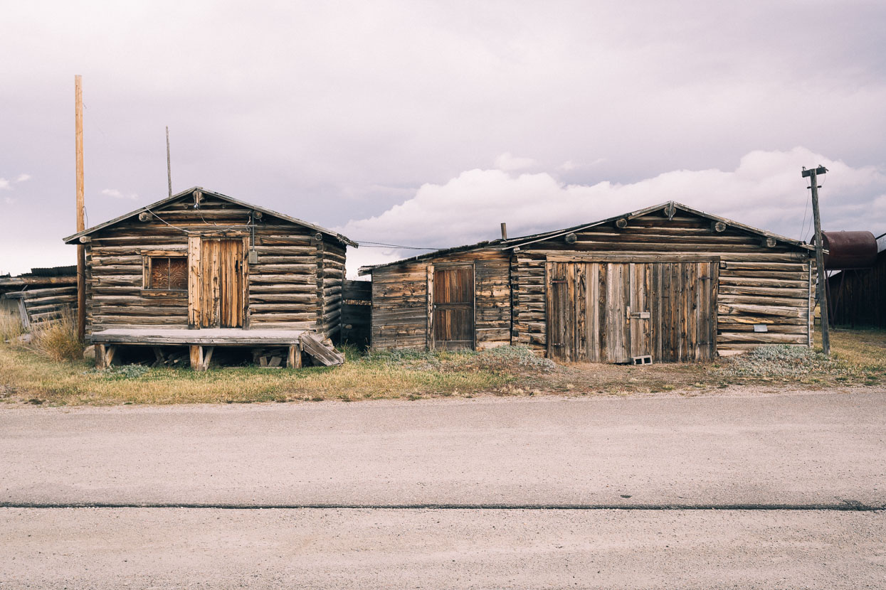
Old log cabins at Cora.
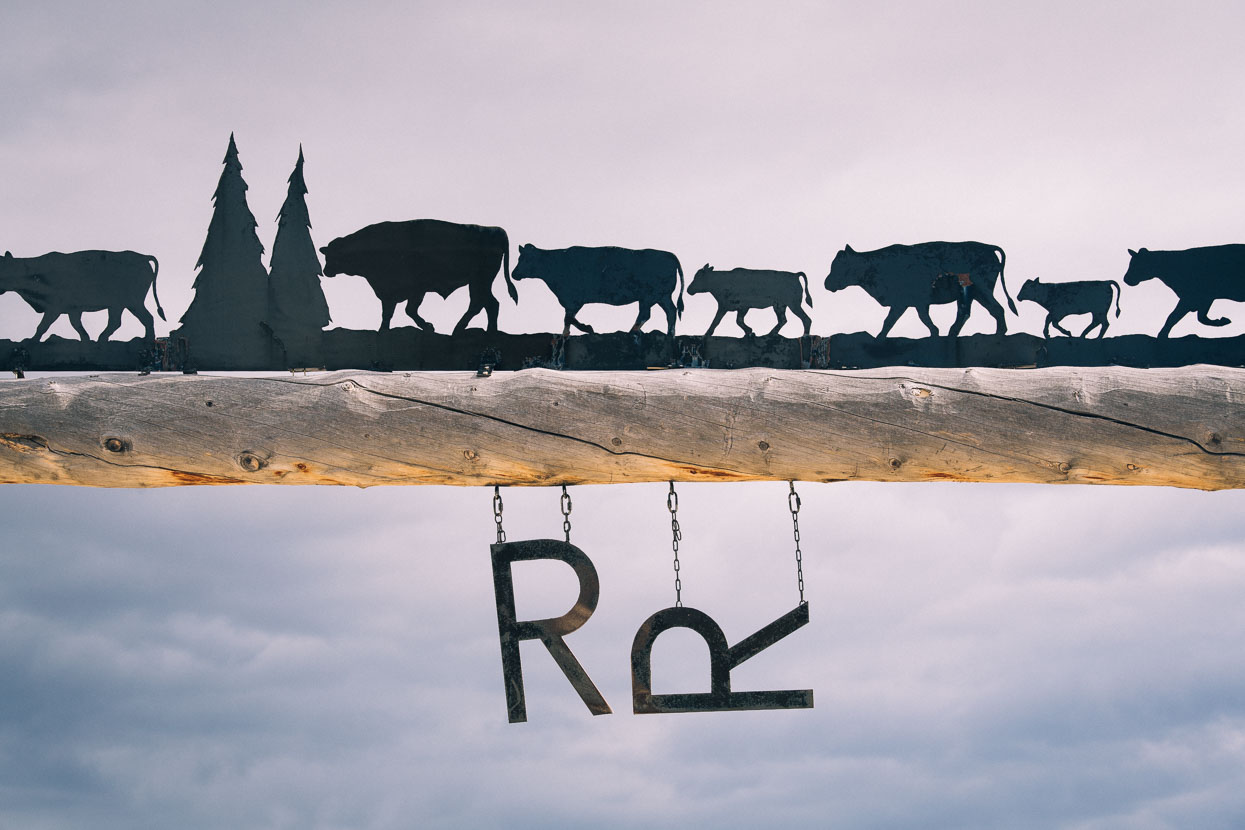
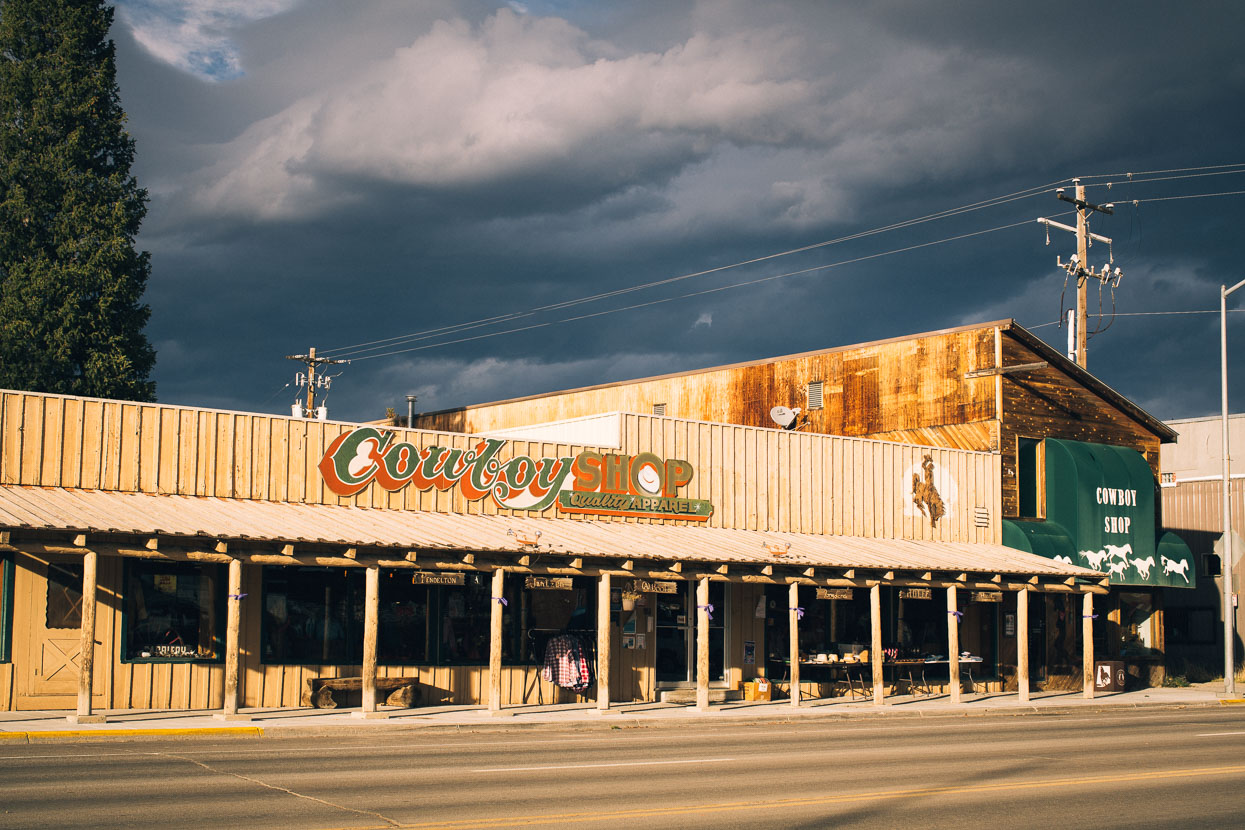
Pinedale is a cowboy town through and through, prevailing when many other small US towns have suffered. In part due to the continued oil and gas exploration taking place in the region.
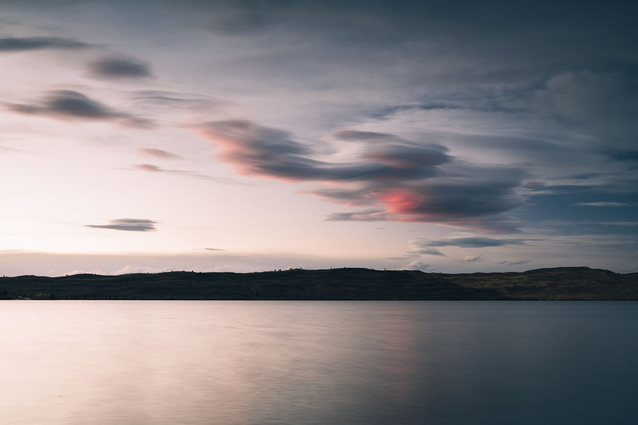
Lenticular clouds over the Wind River Range and Fremont Lake.
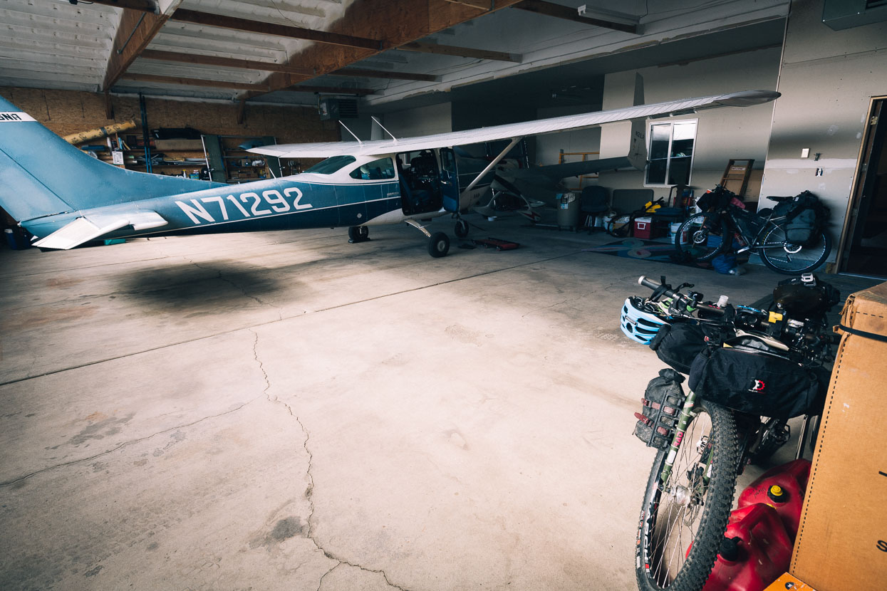
We spent our last night in Pinedale in Rita and Jamie’s hanger at the airport, which has been part converted into a comfortable flat. Like many Americans Rita and Jamie own their own aircraft and use it to travel to their house in Steamboat, CO and elsewhere in the country. The hanger made a comfy last light for us before heading out for several days of remote riding along the base of the Wind River Range and then across Wyoming’s Great Basin.
Thanks to Biomaxa and Revelate Designs for supporting Alaska to Argentina.


awesome and inspiring
Thanks Nadine! 🙂
Great seeing the route in autumn. You might need to break out some fat tyres for the country further south! Good luck.
Thanks Jo! All gone well – more posts soon.
the pics of tetons are incredible! keep yourself warm out there 😉
Thanks Andrezj! Glad to be through CO and NM now and warmer in the desert.
Hi Mark and Hanna,
just picked up your blog and followed some enjoyable rides. What a time you will have sorting out the best of the best pics! Early snow? Look like a good season is approaching.
safe travels
Gary Hopkinson
Thanks Gary! Yes – quite a job staying on top of photo editing, keywording, etc! Yes early snow alright, but the weather improved for Colorado and we made it through ok. More updates on that ride soon. Cheers Mark & Hana.
Phenomenal, living vicariously through you two as my wife and I dream. One day. Be safe, enjoy and indulge.
Thanks Eric! Hope you can make it happen sometime 🙂
Wowser! Loving looking through your blog. And we thought it was cold in Wanaka this morning…..
Thanks guys! Missing our NZ friends right now – but looking forward to a big change of food/scene/language once we hit the Baja in a couple of weeks.