
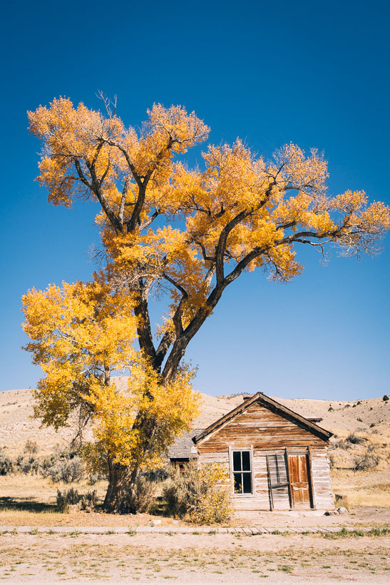
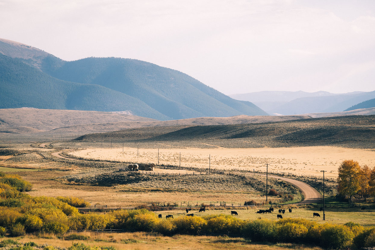
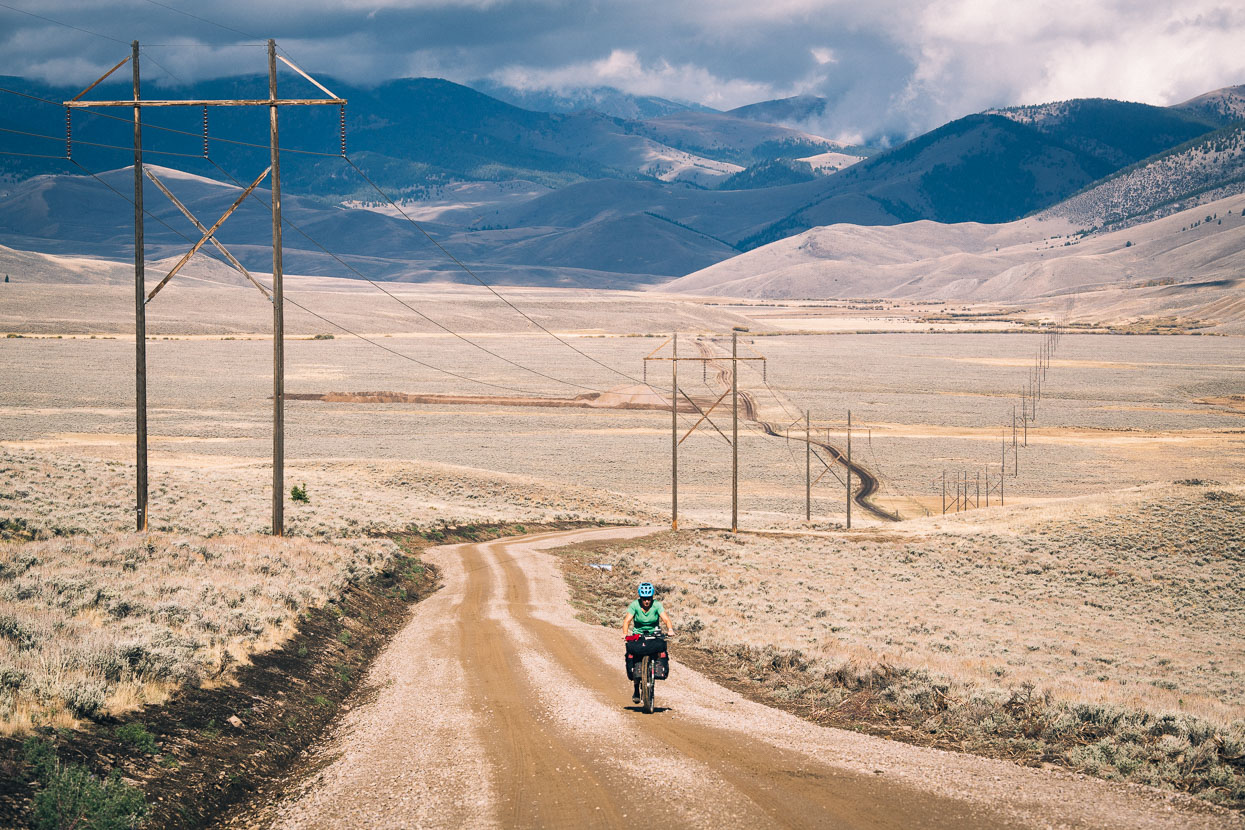
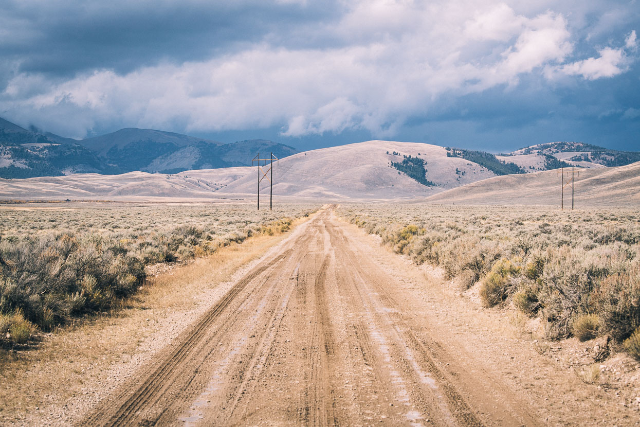
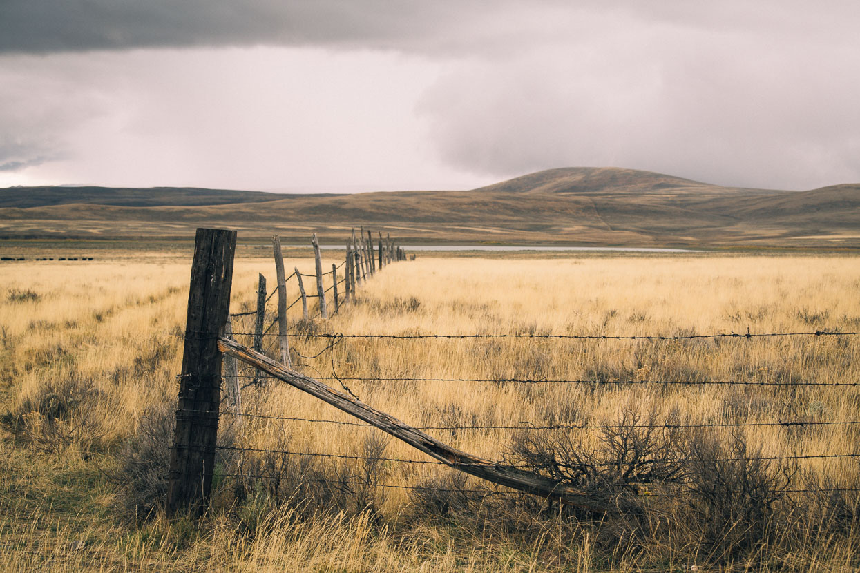
Beyond the mountain hot springs of Elkhorn we left the intimate environment of Montana’s forests behind as the landscape of the Continental Divide took on a different character and the valleys and ranges broadened to create wide alpine valleys, basins and long rolling ridges.
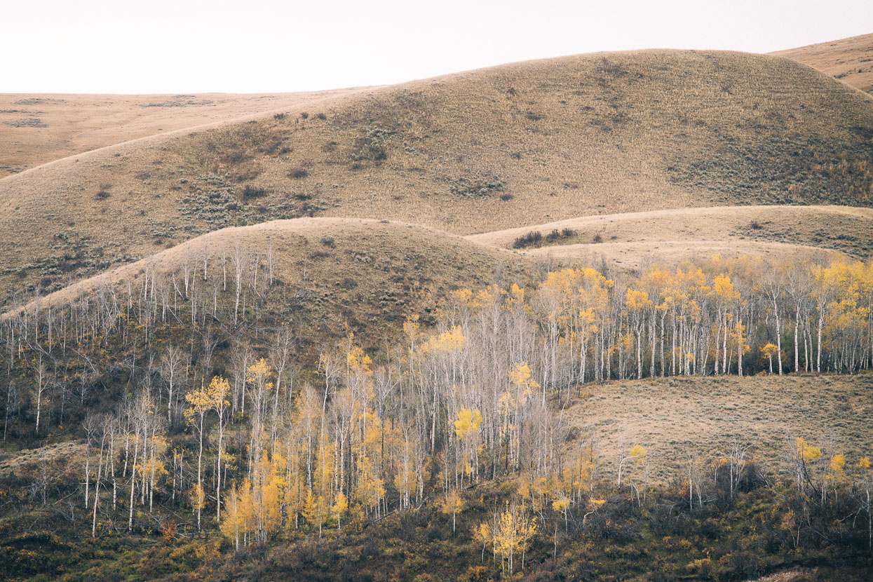
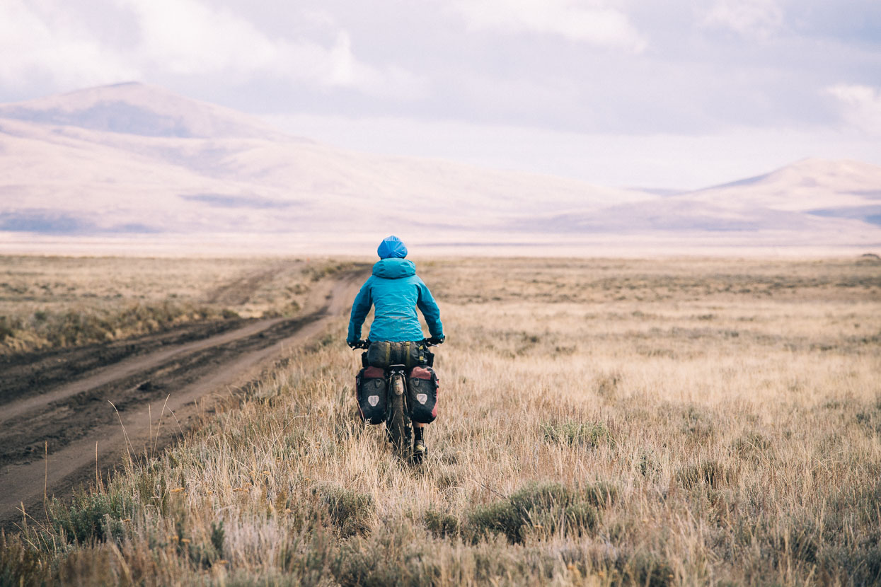
It’s a landscape characterised by tan grasslands, sage brush and dry dusty soil. Occasional stands of aspen bring colour to the land, as they hang onto the last of their leaves.
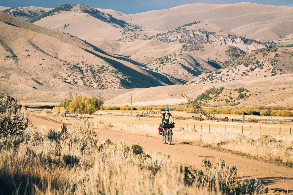
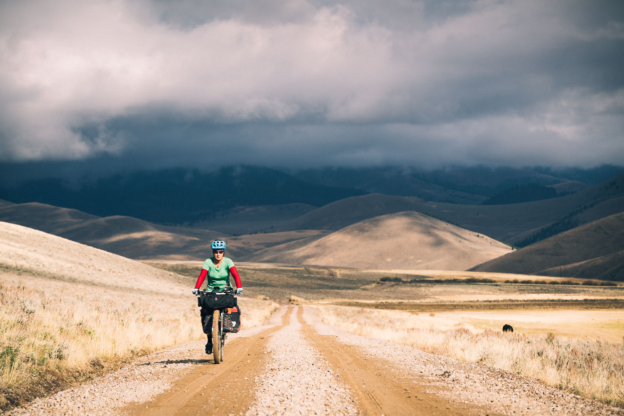
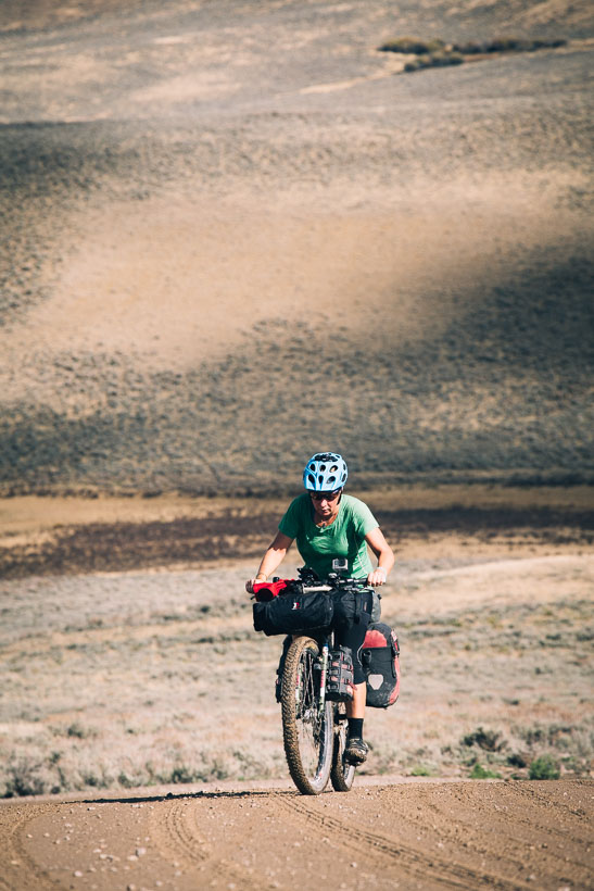
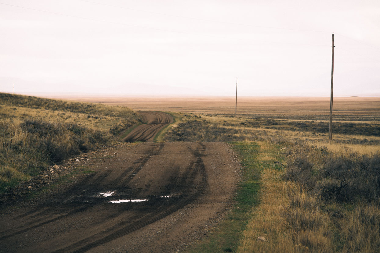
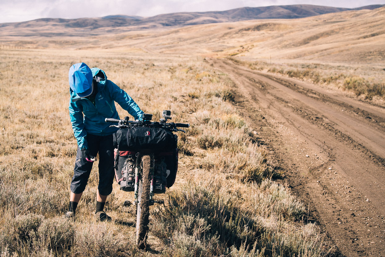
For us, the riding changes from the steady, sometimes steep, climbs of the first weeks on the trail to generally mellower country – although it’s almost never flat. With bigger valleys and plains come bigger winds and at times we grind into headwinds or fly like kites with gusts at our sides.
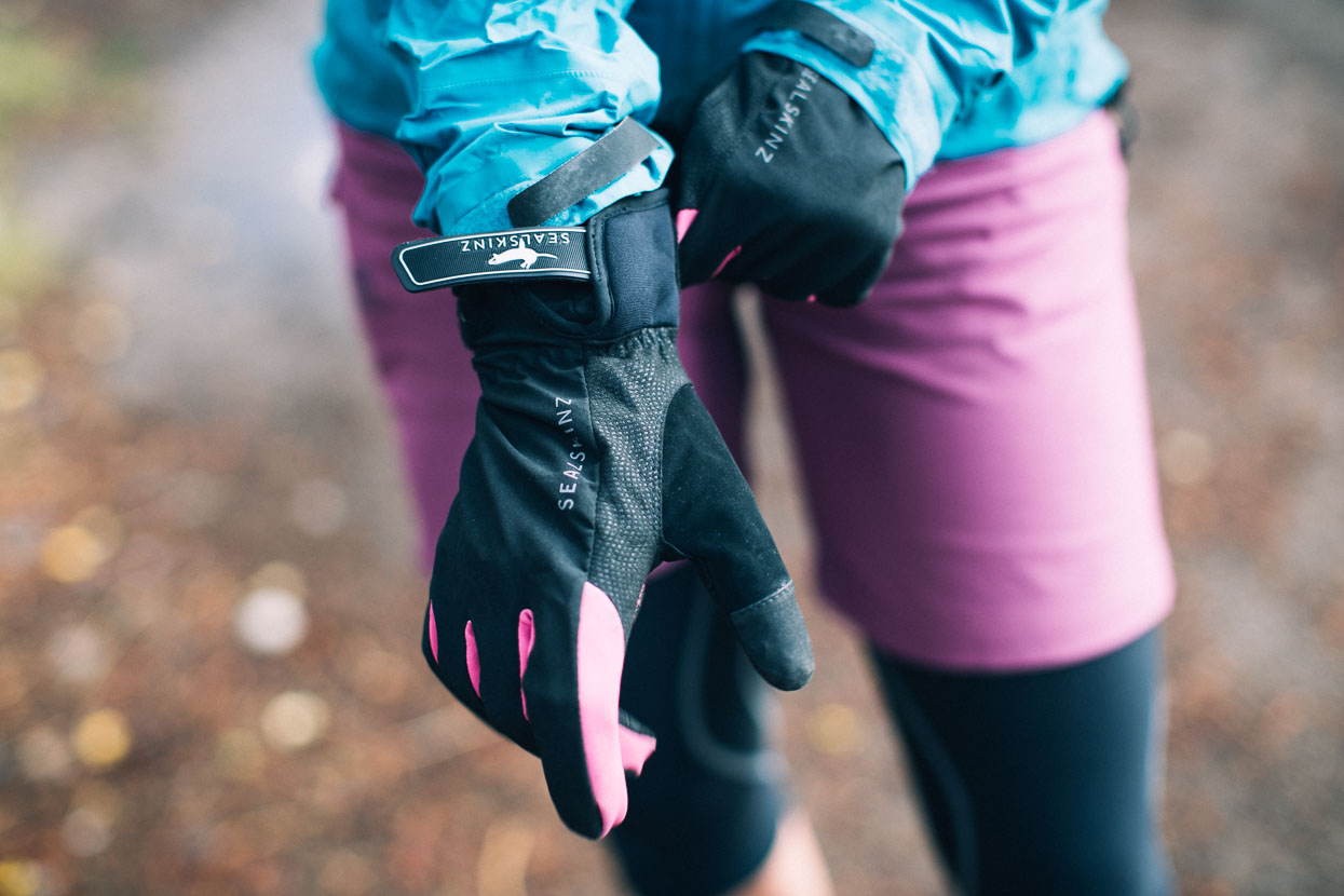
Freezing mornings at high elevations mean we’re often rugged up right from the start – especially if the route is heading downhill.
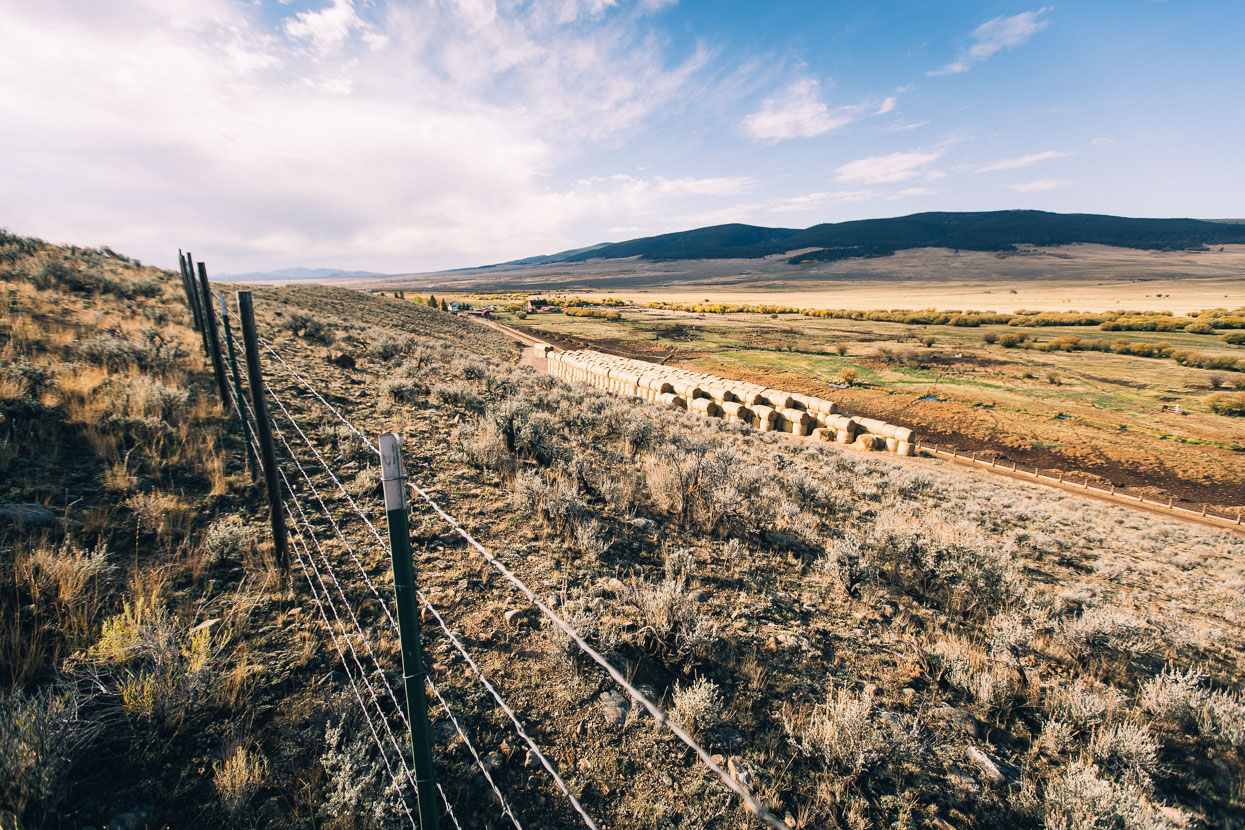
Fertile farming country near Polaris, typical of the valley floors in this region of the Montana high country.
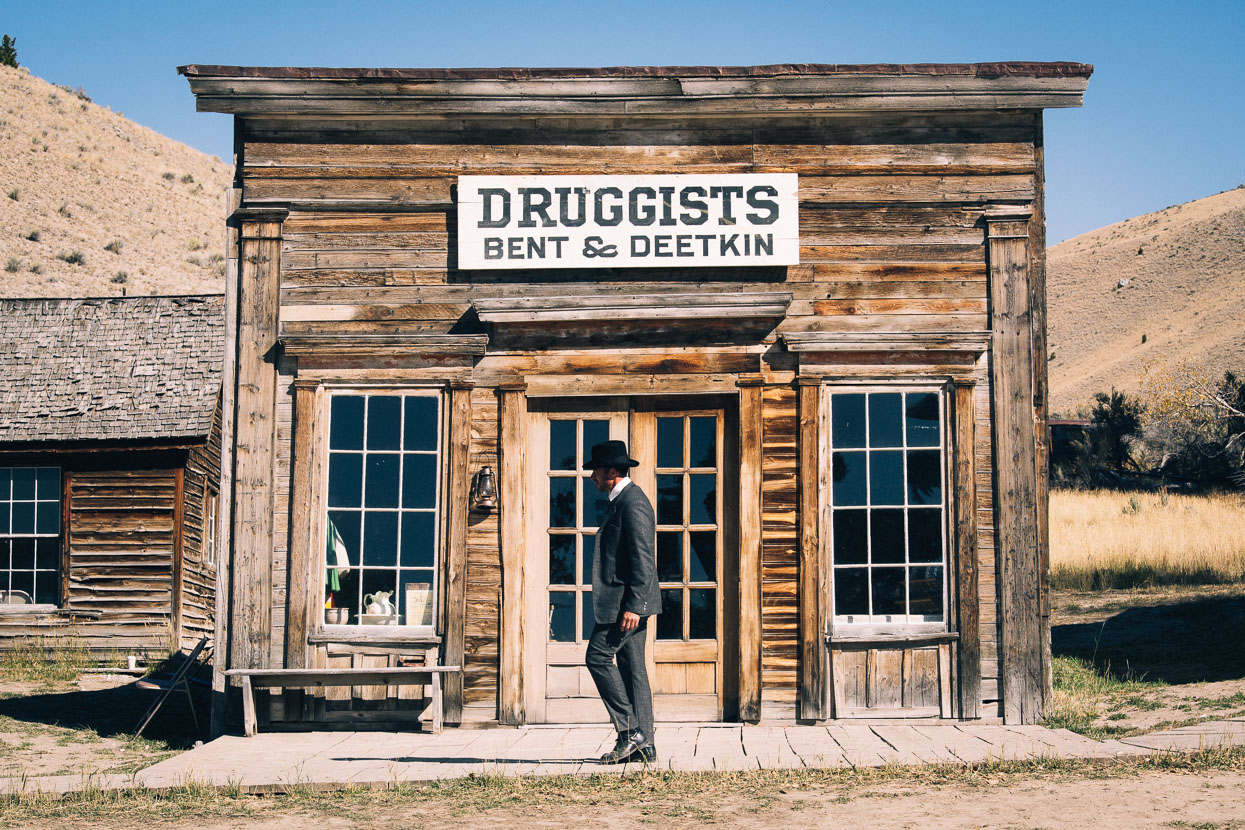
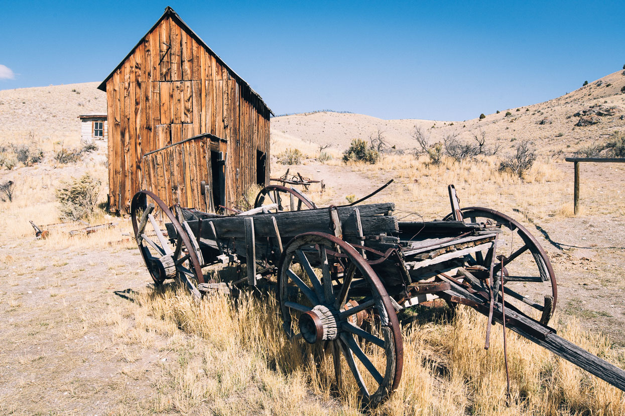
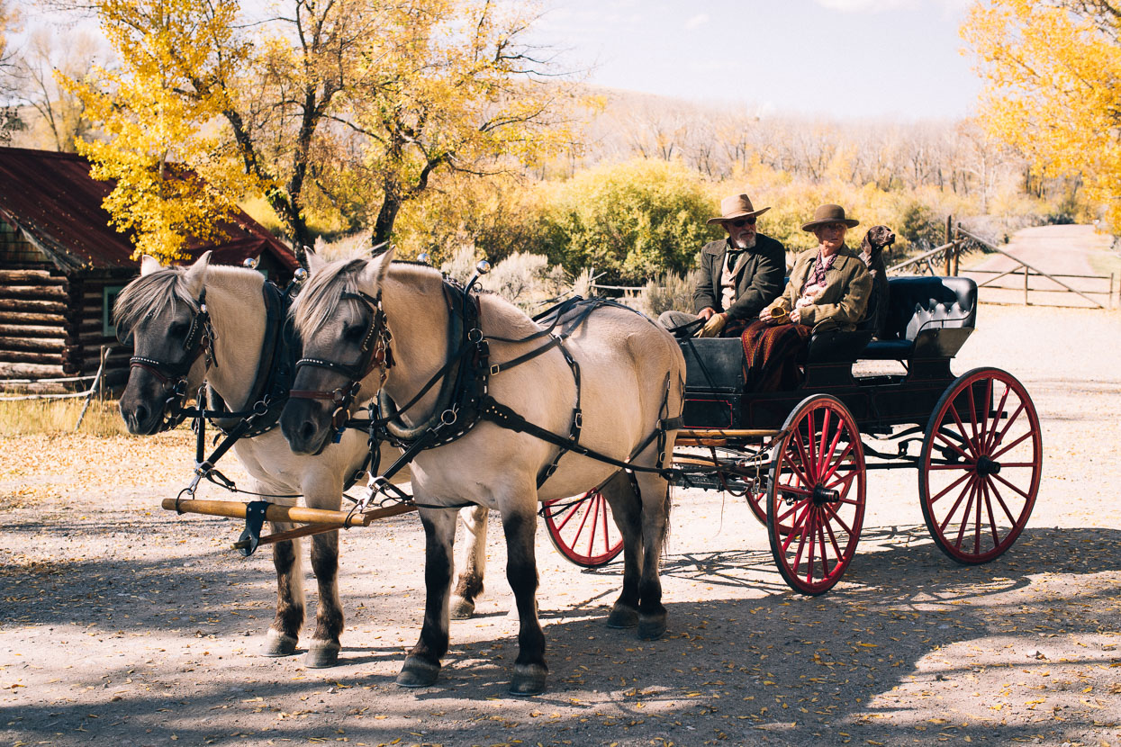
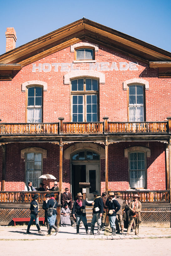
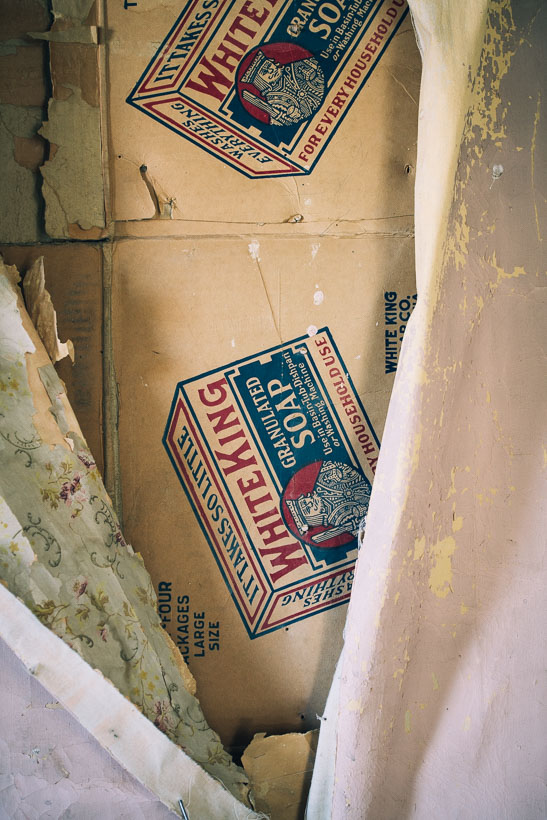
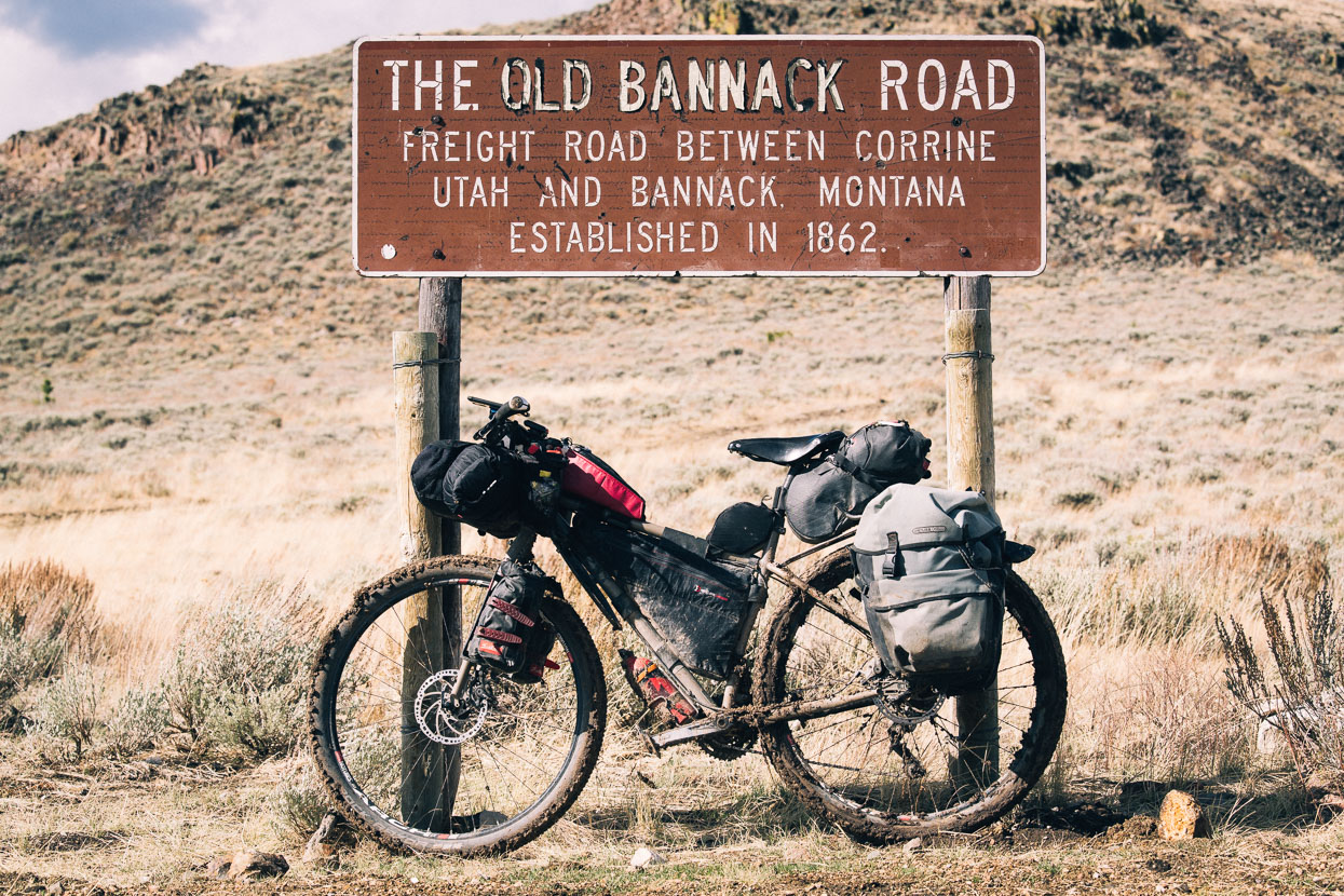
The well preserved ghost town of Bannack made a great lunch stop and we spent a couple of hours wandering the main street and exploring the many old buildings still present. A film crew was on site for a Hollywood drama and the costumed actors added an authentic human element which brought to life how the world might have looked in the town’s heyday.
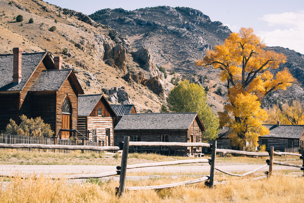
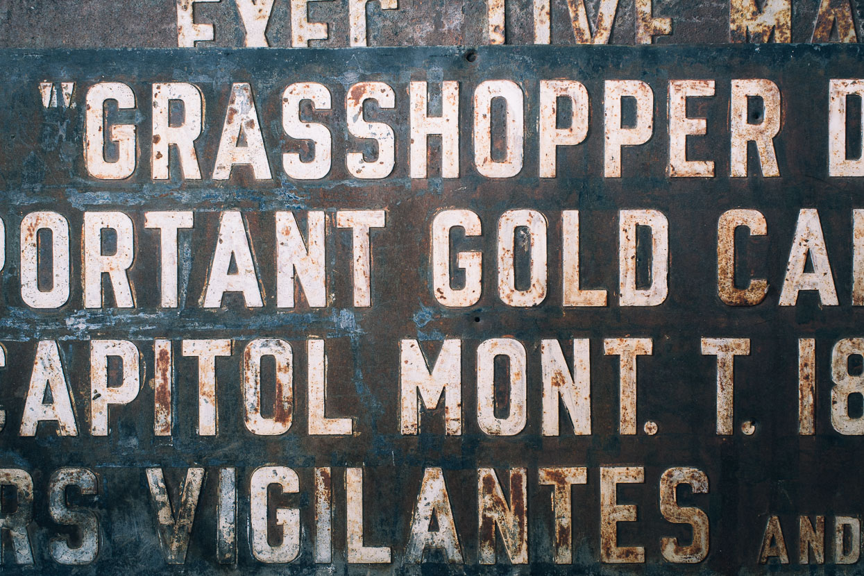
Bannack’s European history began in the summer of 1862 when prospectors discovered gold in the valley’s creek. They found a considerable amount of gold in a short time and by fall the population rose to 300 as others, eager to get in on the riches of Grasshopper Creek, flocked to the site. By spring over 3000 people were living in and around the valley. Subsequently the town grew and the valley witnessed several phases of mining operation, from placer mining, through to hydraulic, dredging and hard rock mining; a pattern that was to be repeated in gold rushes all over the country and beyond, as technology and techniques improved.
As with any town with a substantial population, services are required, and while most people came hoping to strike it rich with gold claims, others followed and set up businesses serving the mining community. Bannack’s remoteness meant goods didn’t come cheap, especially during winter when roads were impassable. Most necessities came from 300 miles away.
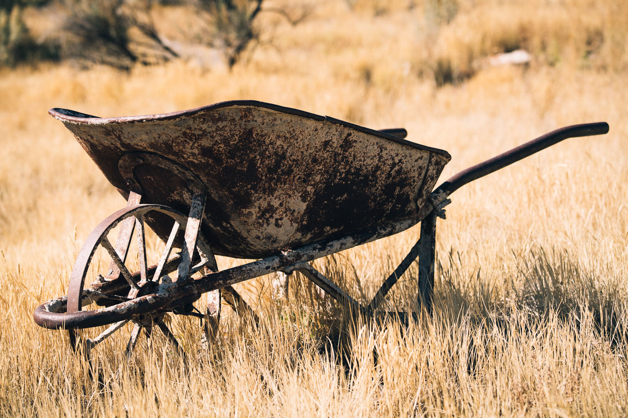
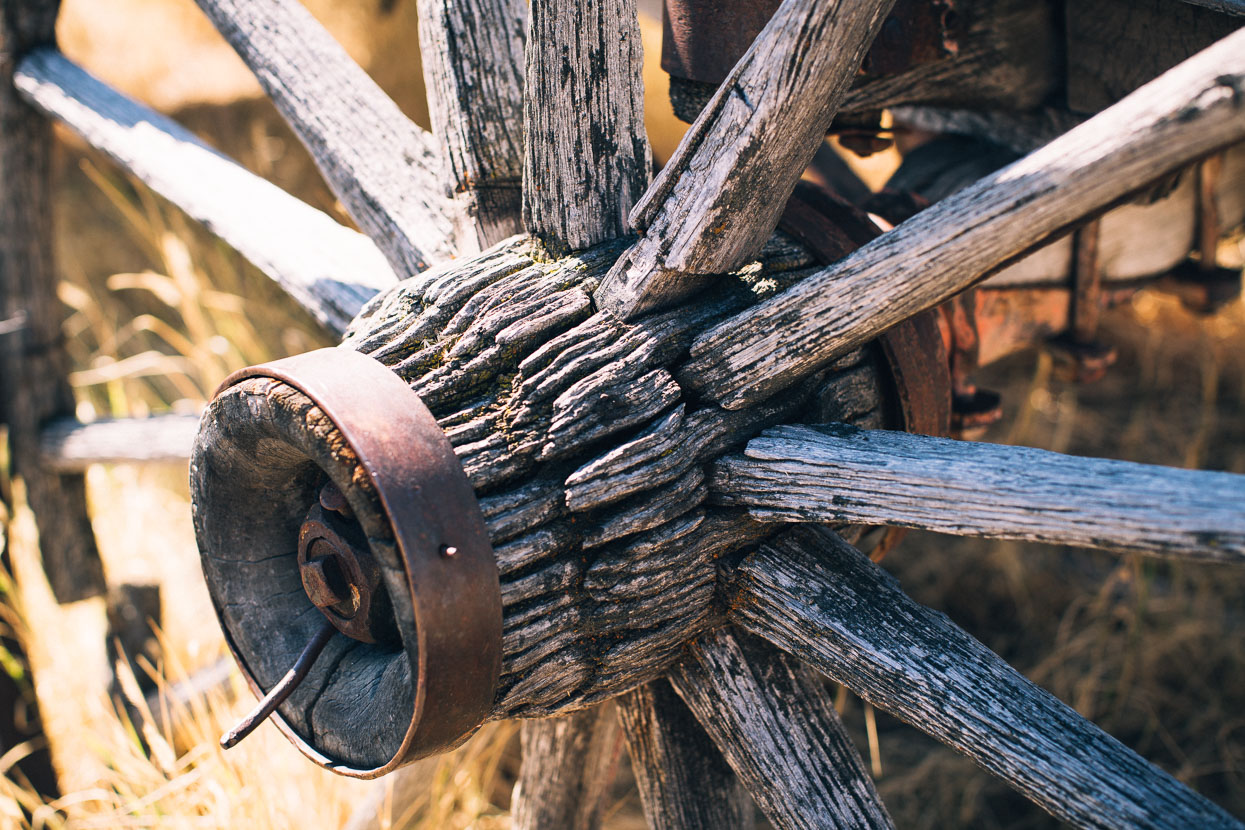
Bannack’s existence relied totally on the extraction of gold. The easier-to-work placer deposits were soon tapped out and as each of the subsequent techniques were utilised small boom periods occurred. With the start of World War II all non-essential mining was ceased, which spelt the beginning of the end for Bannack. The population dwindled and by the late 1940s this isolated village among the cottontails and crags was becoming a ghost town; abandoned by the 1950s. It wasn’t long though before the desire to preserve what remained of Bannack prevailed and these days 60 buildings remain.
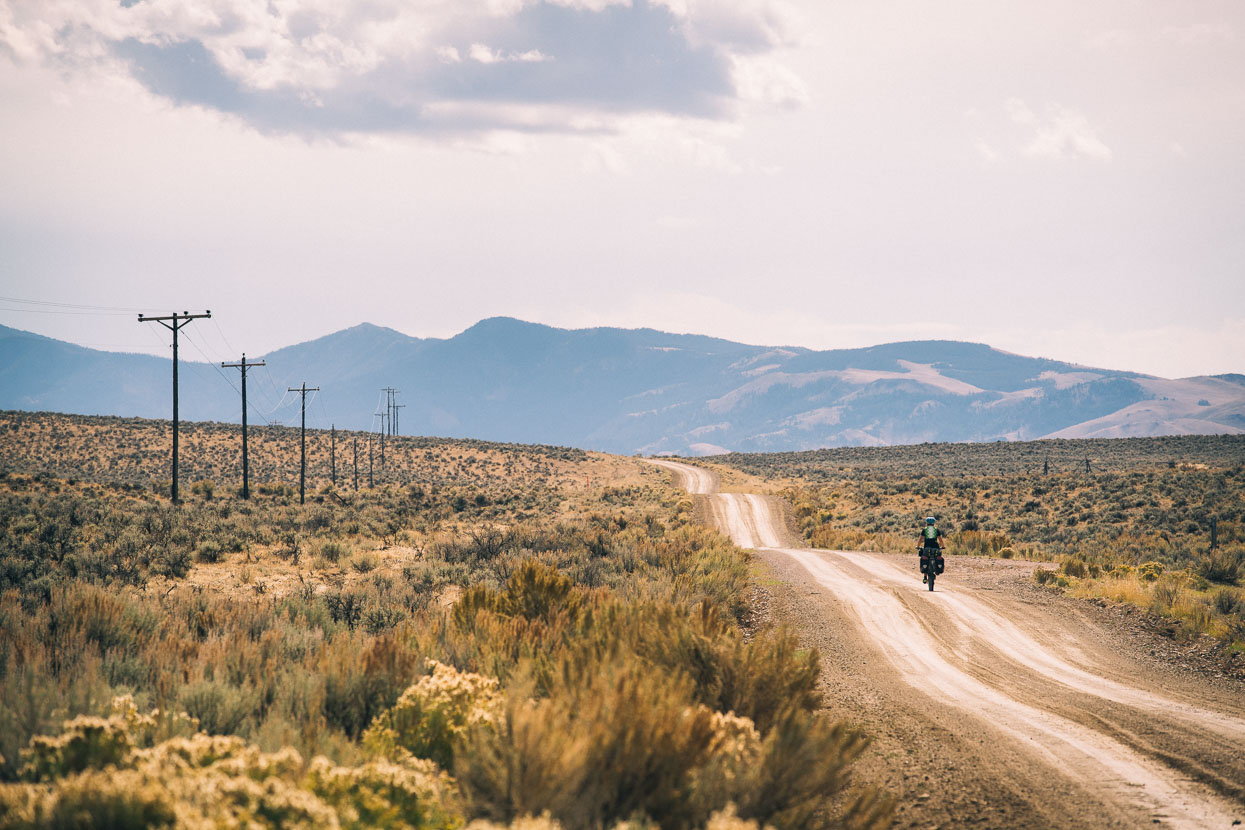
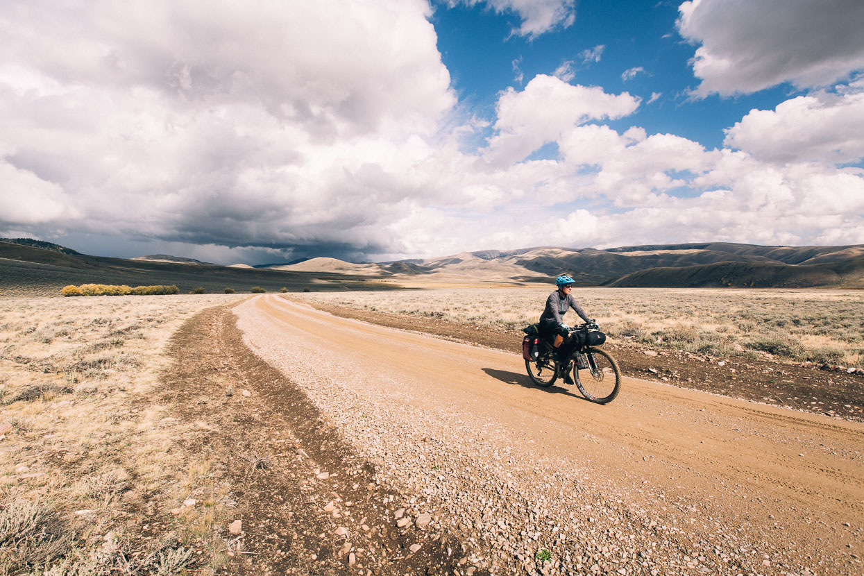
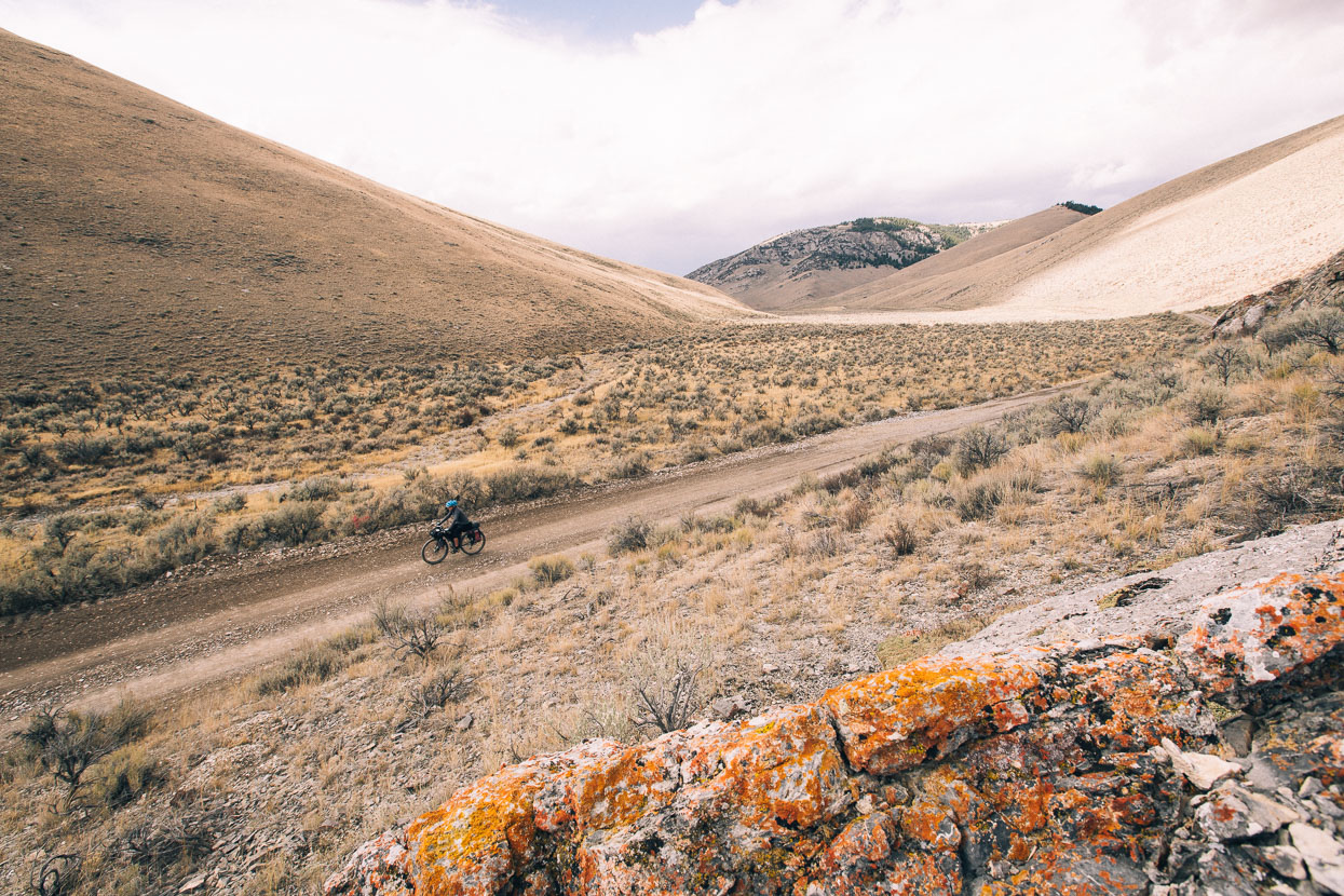
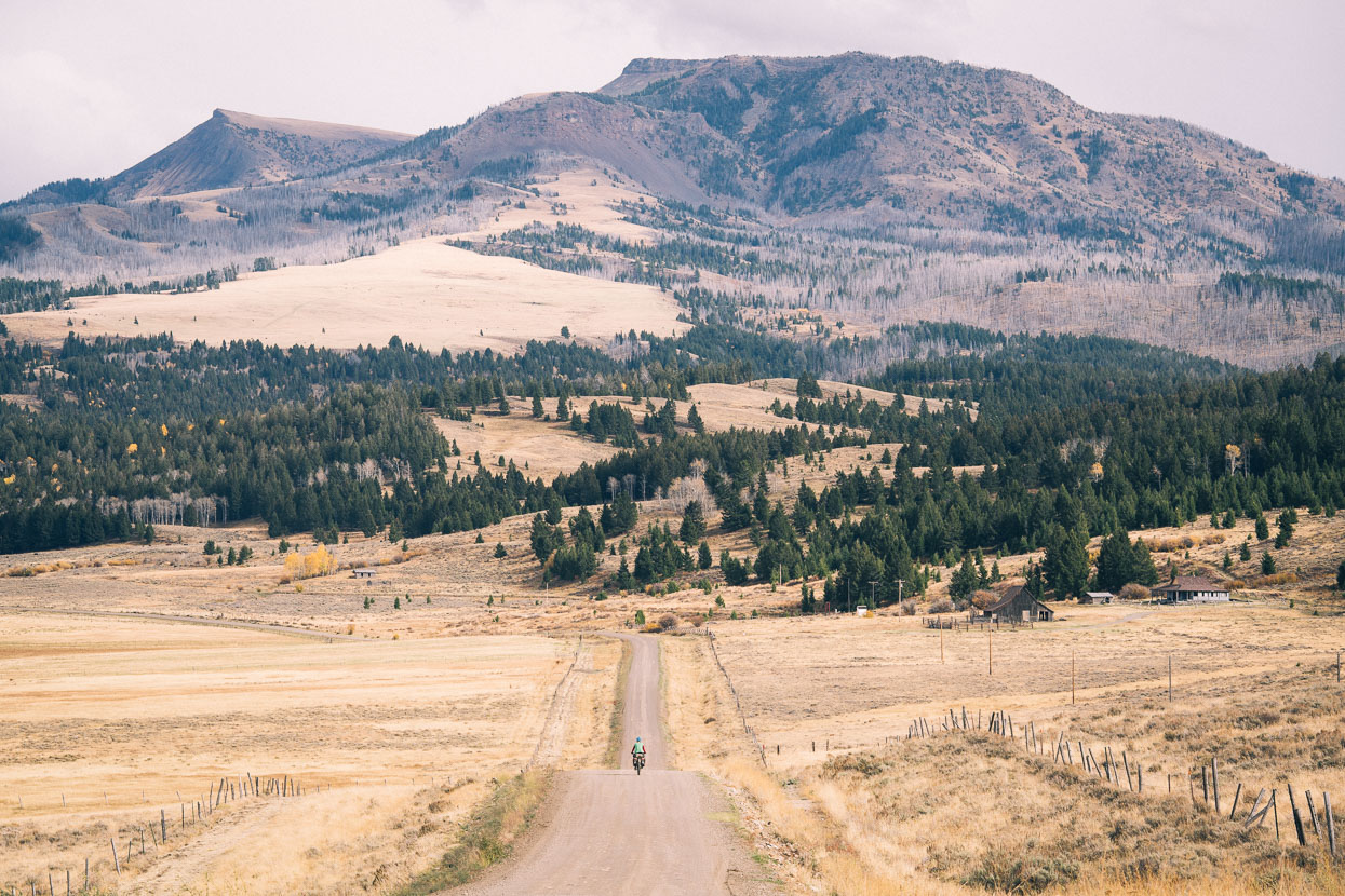
Beyond Bannack the divide route coursed over dirt roads and big open valleys. For the past few days we’ve been in Lewis and Clark country; these pioneer explorers, also known as the Corps of Discovery Expedition, were the first American expedition to cross what is now the western portion of the United States. Their journey began near St. Louis, made its way westward, and passed through the continental divide to reach the Pacific coast. Their epic journey lasted from May 1804 to September 1806. The primary objective was to explore and to map the newly acquired territory, to find a route across the western half of the continent, and to establish an American presence in this territory before Britain and other European powers tried to claim it. Only local indian trails would have existed at that time and animal populations were much more substantial. Looking out either side of our ribbon of narrow dirt road the countryside probably looks much like it did at the time they first viewed it.
Farming country along Deer Canyon Creek.
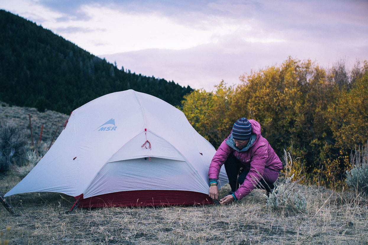
End of the day on Medicine Lodge Sheep Creek road. On this evening we stopped at a basic Bureau of Land Management campsite/trailhead alongside a small creek. Temps drop quickly as soon as the sun dips behind the hills, so we change quickly and are usually straight into our down jackets and long johns.
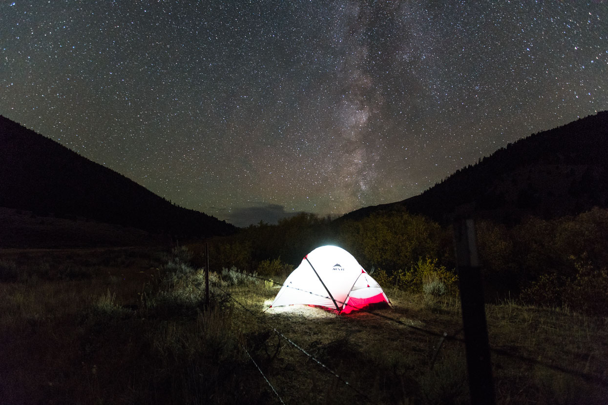
A feisty thunderstorm forced us to cook in the tent, but after dark the skies cleared and the stars were out in force while flashes of lightning continued to dance on the horizon.
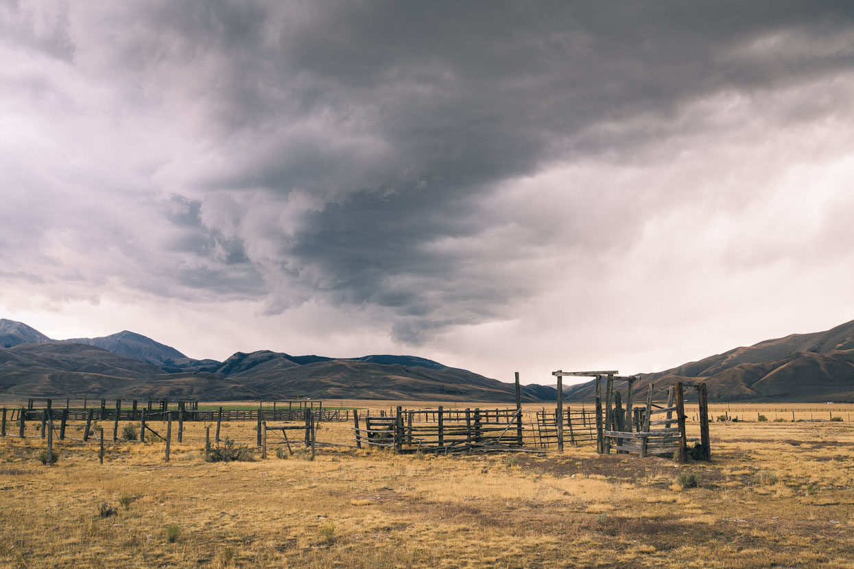
The cloud was back by morning and hung moody over the valleys. As the day progressed the sky would blacken with imminent rain, but while numerous showers formed and blew past, none quite touched us.
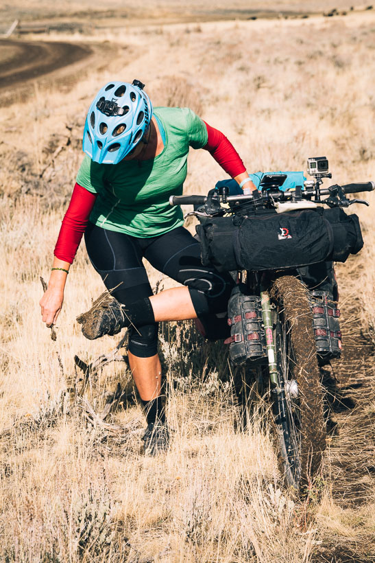
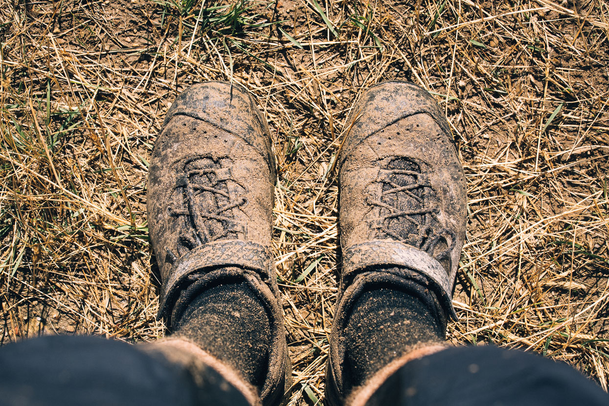
The previous evening’s rain had left the road in an unfriendly state and we encountered a couple of long sections that rendered the bikes unrideable after only a few metres – the tacky mud clogged our wheels until they weighed a ton, and the mud jams the wheels in the frame, as well as sticking to brakes, drivetrains and feet. A couple of dedicated mud-clearing sessions were required to make forward progress and we skirted the worst sections by riding in the vegetation on the road edge.
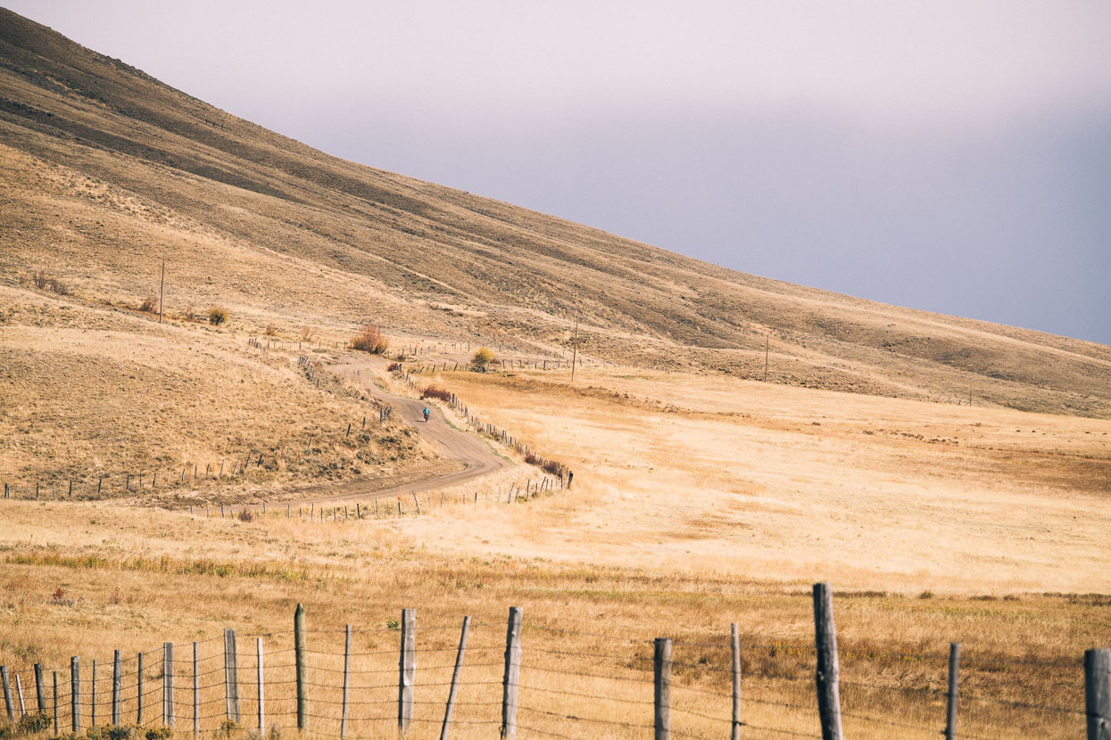
After a tough climb on the tacky road we made the saddle.
A fast descent led to better conditions in the big open valley on the other side of the pass.
Still the sky threatened, darkening further and chasing us out into a narrower valley and onwards, down, towards the interstate highway and the town of Lima.
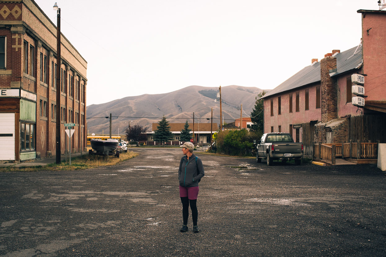
While it’s an important rest stop for cyclists and Continental Divide Trail hikers, Lima doesn’t have a whole lot going on. Two motels, a service station/convenience store and two places to eat are about it. It’s a rural service town, except there’s not a whole lot to service, as the locals pick up most of their needs in the larger town of Dillon, a short way up the interstate.
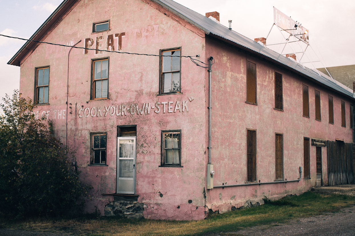
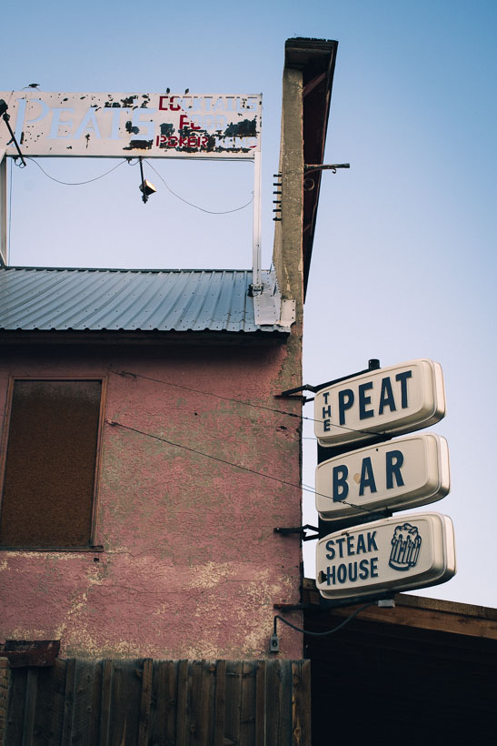
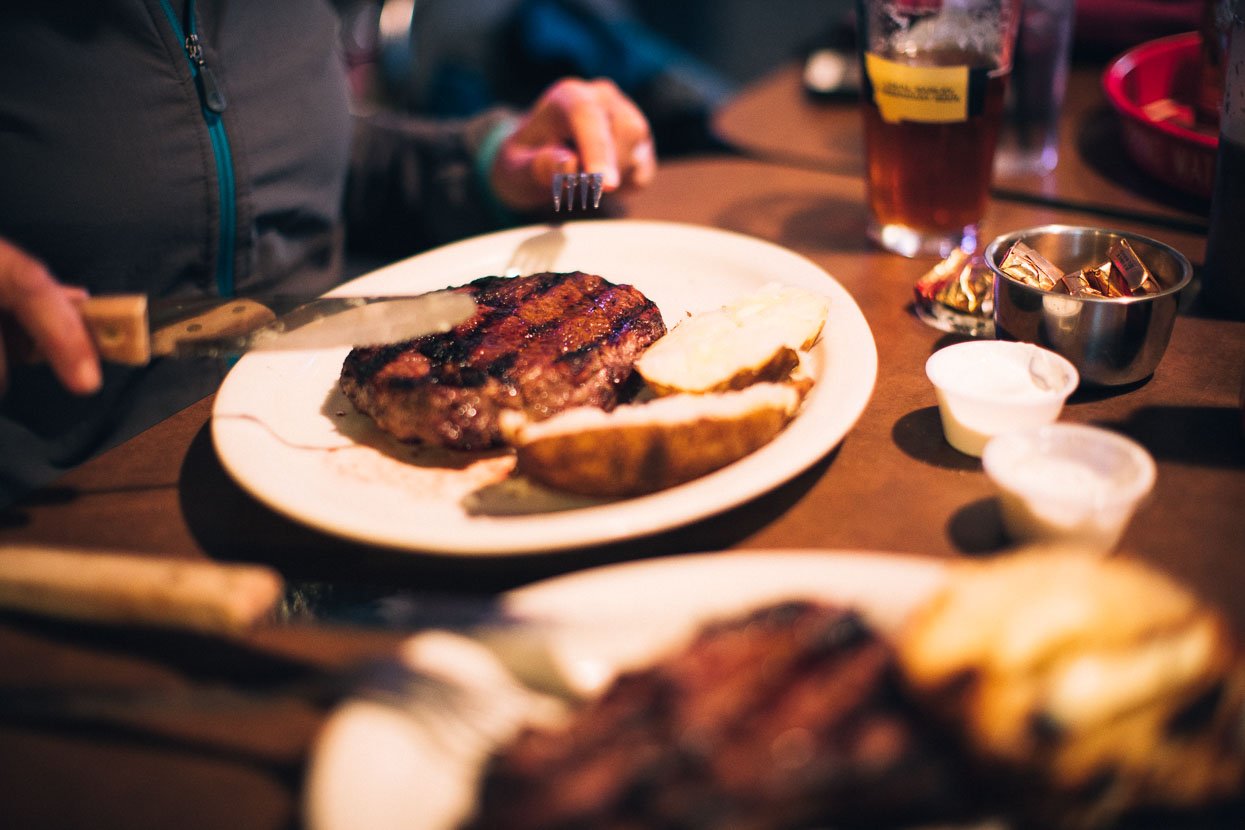
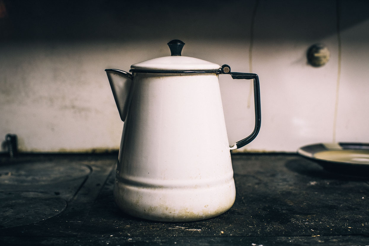
Of the two dining places, one is legendary in long distance hiker/biker circles: the Peat. This veritable crumbling ruin of a diner (the interior does look better than the exterior) provides a ‘cook your own steak’ option. You’re served a plate of salad, potato and raw steak, which you sizzle to your tastes on a communal grill. It was a surprisingly busy place!
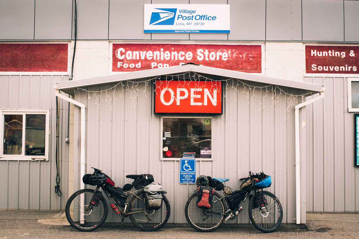
In the morning, distracted by the firearms for sale in the gas station, we stocked up on convenience store snacks for the next couple of days ride through the last of Montana and into Idaho.
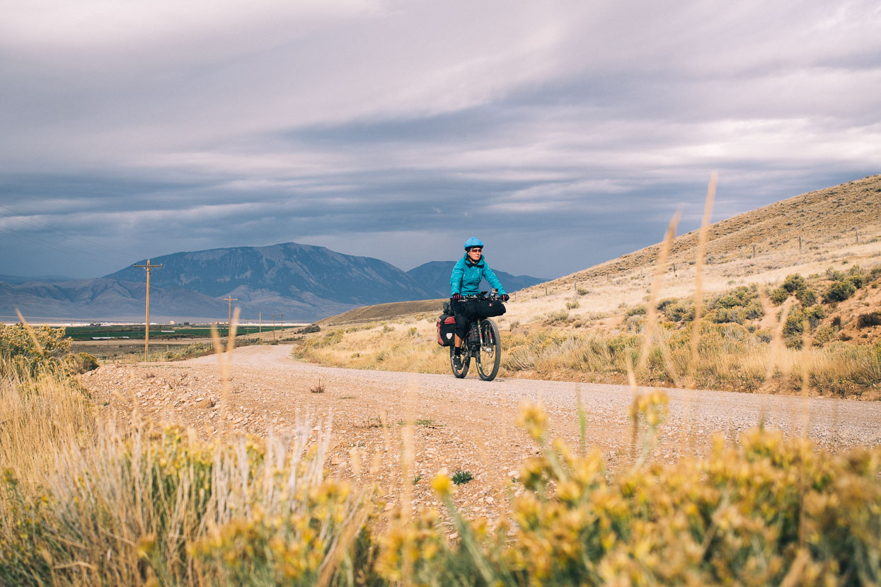
It didn’t take long to pass the city limits in the morning and we were soon alone on quiet dirt roads pedalling our way through an increasingly spacious landscape.
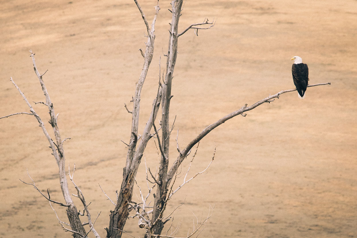
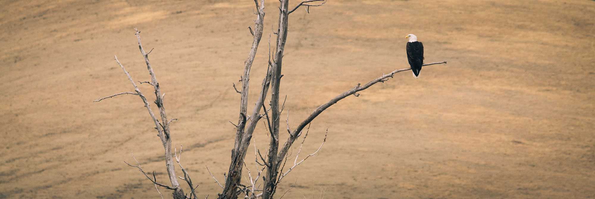
A bald eagle observes his hunting grounds.
The landscape is taking on its winter tone.
Barren grasslands stretched as far as the eye could see, the only colour the occasional burst of aspens, turning colour in the gullies.
The unsettled weather persisted with turbulent grey skies and mid morning we rode on through a heavy thunderstorm that brought rain and hail.
It also turned the road boggy giving us a repeat of yesterday’s experience, though this time we went straight to the sage brush on the roadsides and pushed on forward.
Both the weather forecast and locals spoke of snow, and we could see warning signs in the sky that afternoon.
Passing beneath Bald Mountain, just above Red Rock Lakes Wildlife Reserve.
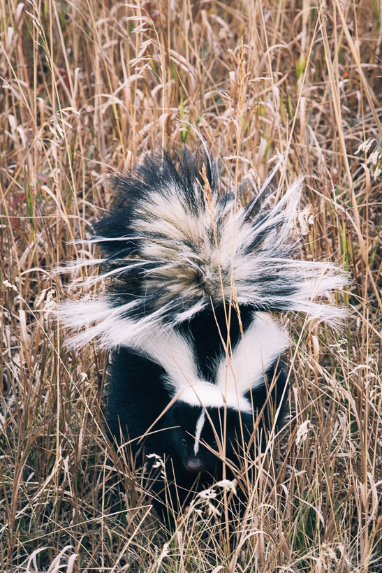
Badgers and skunks were the two most common animals of the past days.
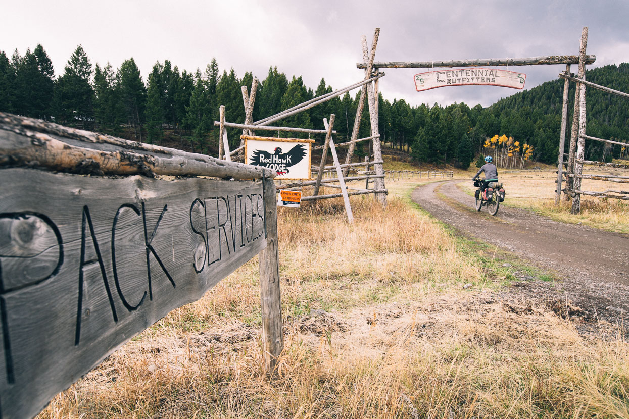
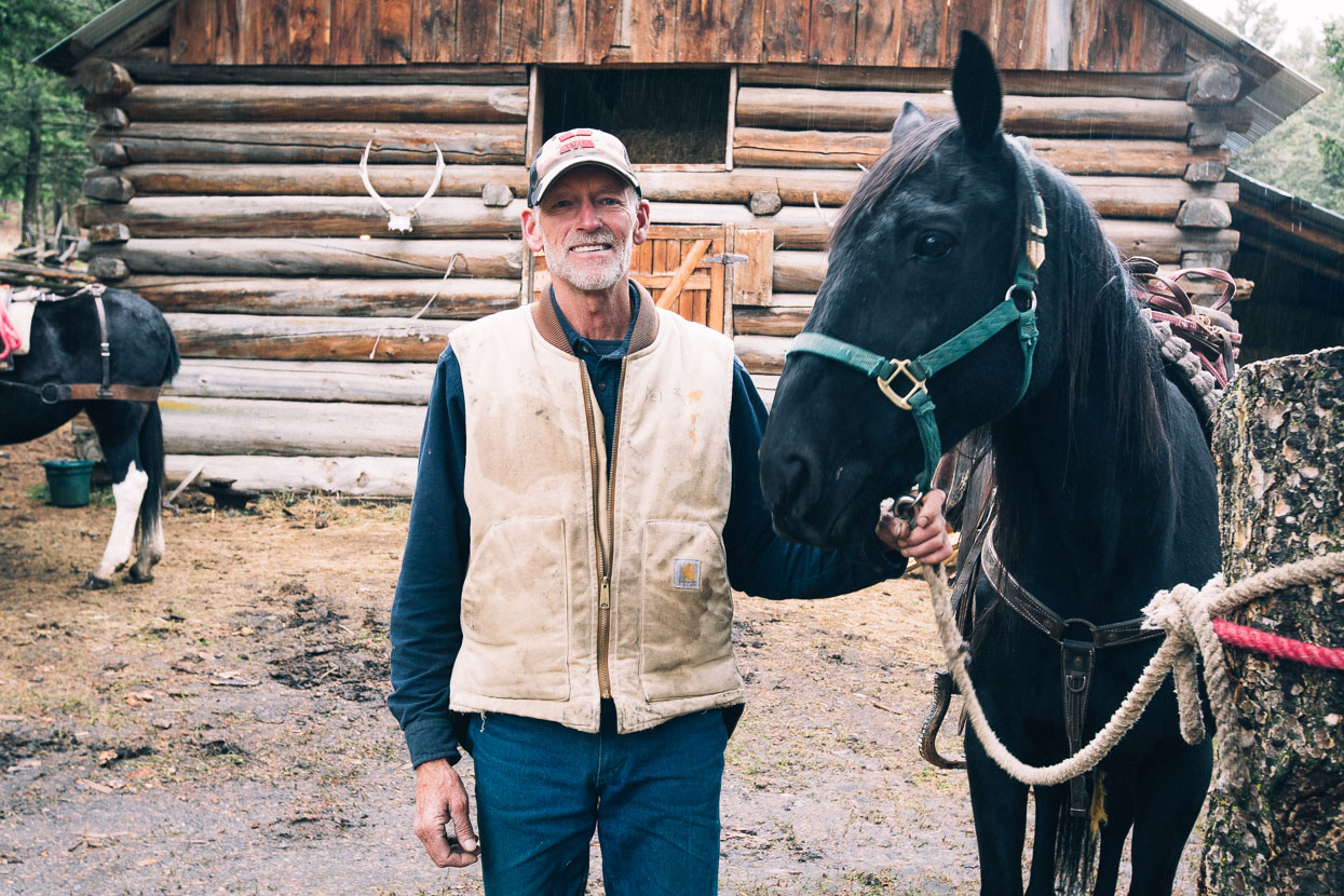
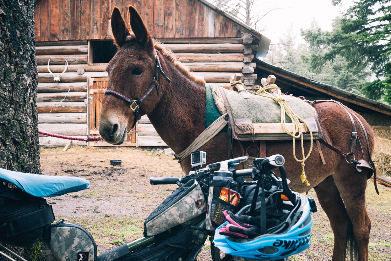
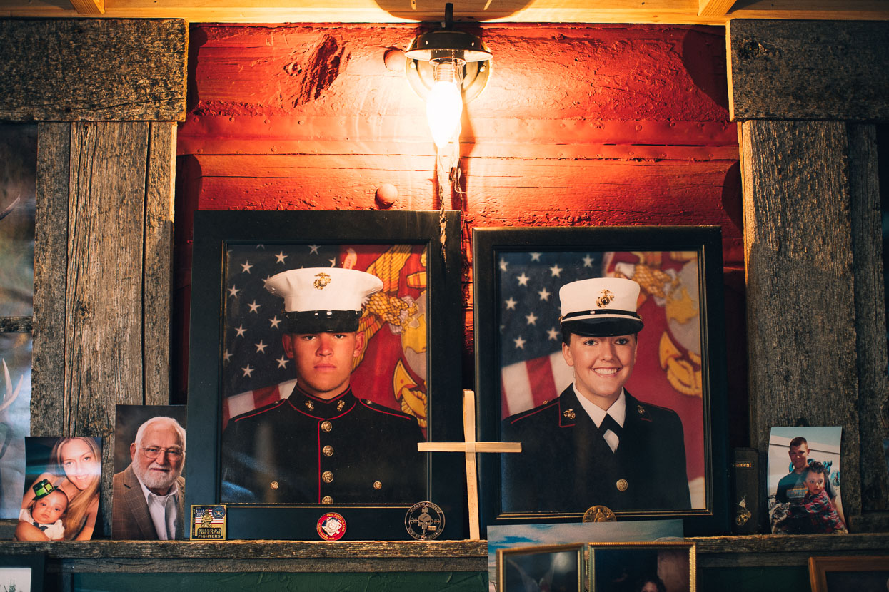
Anticipating rain that night, at Lima we’d called Red Hawk Lodge to book a room for the night. Accommodation options are few along this remote section of road, but Red Hawk regularly provide for passing cyclists. A basic room, and if you want to pay the extra; three hot meals a day. The lodge is owned by Mel Montgomery, born and bred in the valley. A very experienced outfitter and guide Mel provides services mostly to hunters; packing them and/or supplies into the backcountry. Proudly christian and with a son in the US Marines (and a daughter just out), Mel was a friendly, generous and hard working man of the country. We enjoyed his company and stories and shared some interesting philosophical discussions over meals prepared by the in-situ cook, Dusty.
As much as we avoid paying for lodge-type accommodation, each time we have it’s been well worth the money simply for the increased contact it gives us with locals, and the insights this can offer into the communities we ride through each day.
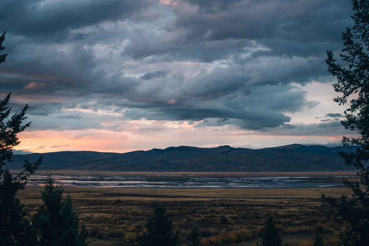
Weather brewing over Red Rock Lakes and Centennial Valley. No sooner had we arrived and the rain started.
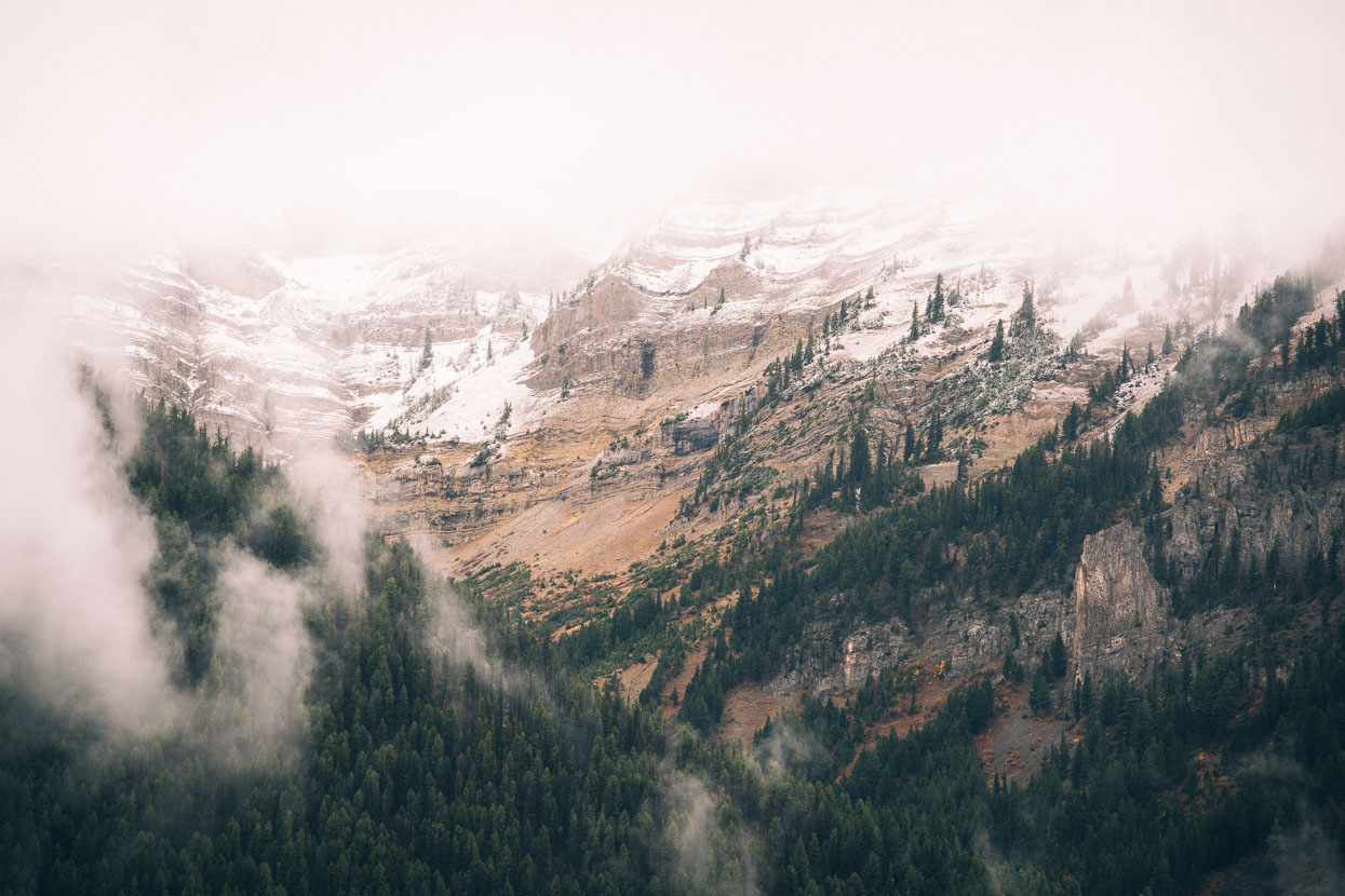
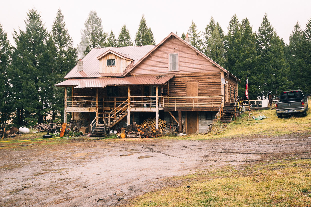
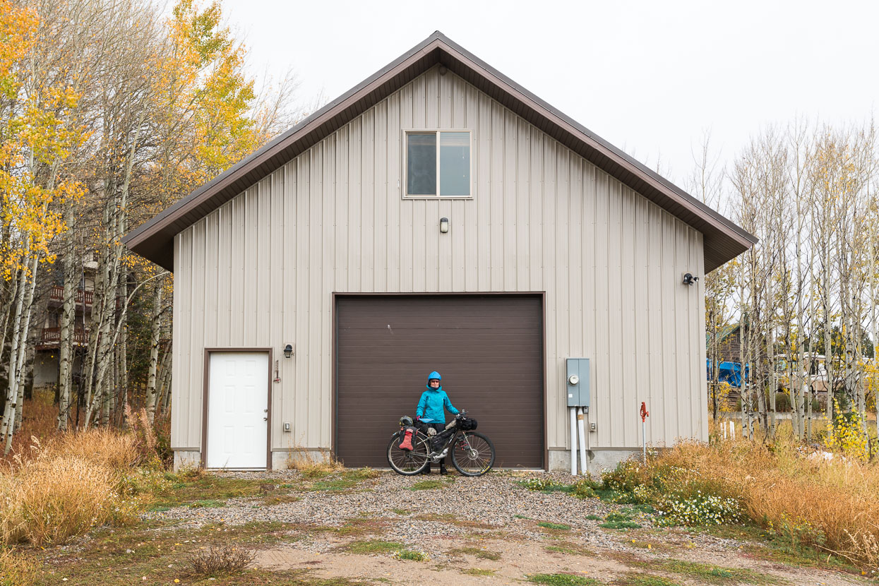
Overnight it rained steadily, with snow falling at higher elevations – the first cold storm this region had seen this fall, and the beginning of a several-day storm cycle. We had planned a rest day, but with the threat of snow we decided to get over our next divide crossing – Red Rock Pass, at 2180 metres our highest yet – while we still could. A cold ride in the rain followed, over the pass and into Idaho, and we were very happy to arrive at the Man Cave near Macks Inn.
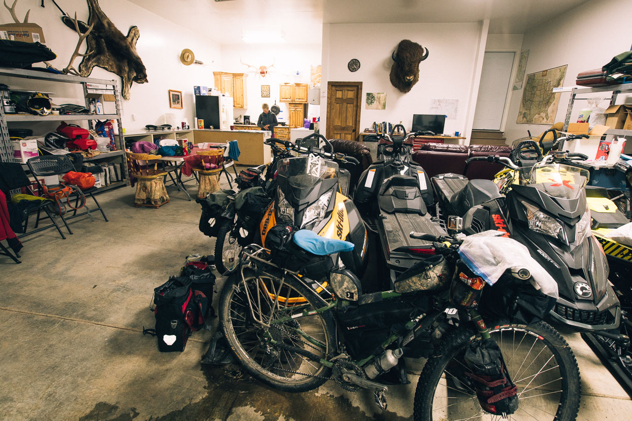
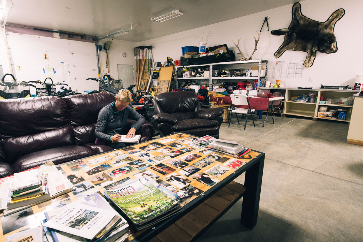
With exceptional generosity, Travis Waters (a Warmshowers host) makes his Man Cave available for cyclists passing through. A large garage with upstairs lounge/bedroom, this space looked as if it served as a base for winter cycling and snowmobiling (there were three inside) for Travis and his mates. We were invited to ‘help ourselves’ to the well-stocked larder of canned food and were lucky to have a good space to dry out in and figure out our next move as the weather worsened with sleet and blowing snow outside and more in the forecast.
Thanks to Biomaxa and Revelate Designs for supporting Alaska to Argentina.


Loved Bannack – reminded me of Bodie, another mining ghost town near Bridgeport in the Eastern Sierra. Great photos.
Thanks Dorothy! Yes have visited Bodie also on another trip – such a great site.