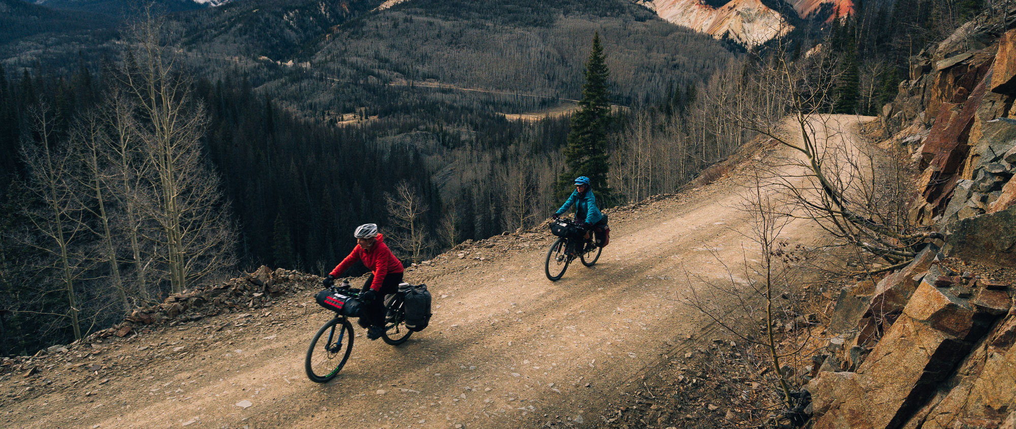
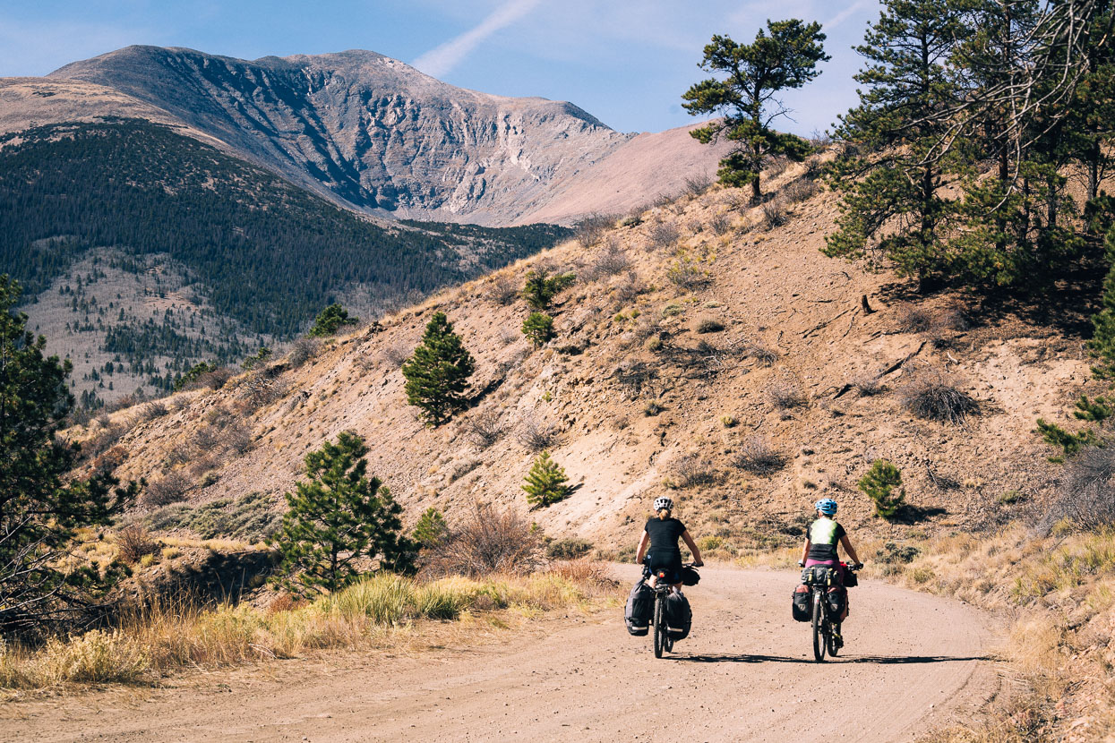
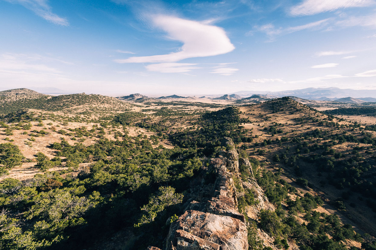
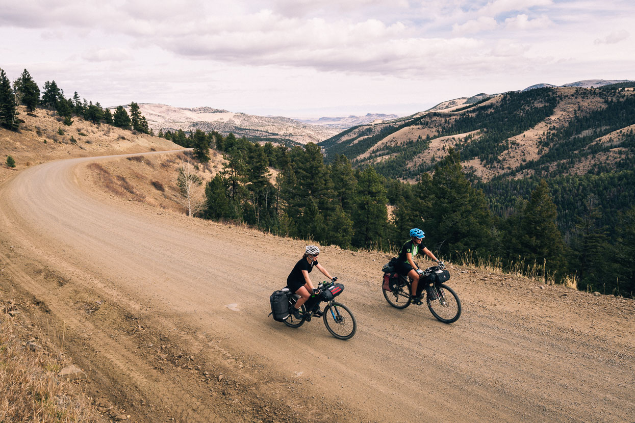
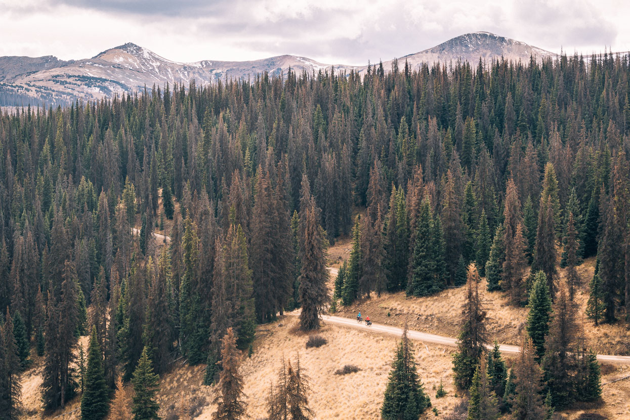
Colorado’s theme of long – but generally moderately graded – climbs continued as we passed through the centre of the state towards its border with New Mexico. Our route along the eastern edge of the Rocky Mountains remained arid; piñon pine and juniper covered the lower ranges, while higher elevations had us riding through silvery aspen stands and the omnipresent spruce forest seen high on the ranges. Spruce forest elicits memories of our ride through Alaska where it would sometimes flank the road for days at a time. Diverse geology has sometimes caught us by surprise, along with the desert-like feel of the lower valleys and basins: a Colorado we’d not seen before.
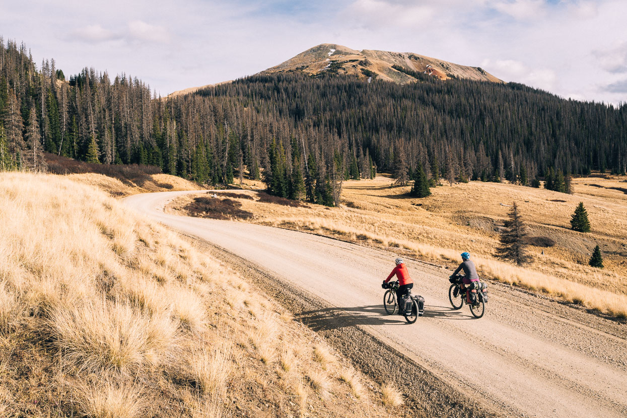
The previous evening we’d dropped great heights into the relative civilisation of Salida – warmth, food, beer and comforts of a hiker/biker friendly hostel (Simple Hostel). Those who go down on the Great Divide though, must go up again – and not too long after the town fringe we were climbing again; first on pavement and then on the long dirt climb up Marshall Pass. Like Boreas Pass, a couple of days previous, this one’s a rail-grade so it made relatively easy pedalling. Completed as a toll road in 1880, the following year tracks were laid to provide the Denver & Rio Grande Railroad – an important link between the Gunnison and Arkansas Valleys. The summit of the pass was at 3,000 metres, so it wasn’t all plain sailing for us.
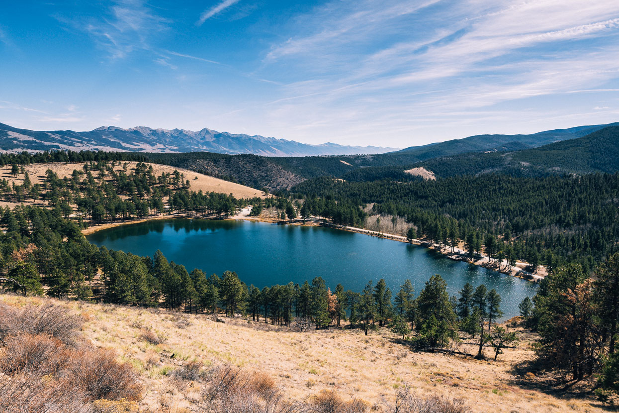
The views opened up quickly on the way up: the northern end of the Sangre de Christo (Blood of Christ) mountains visible above this lake. The Sangre de Christos are the southern-most sub-range of the Rocky Mountains. Above us towered the great concave face of Mount Ouray (4,200 metres).
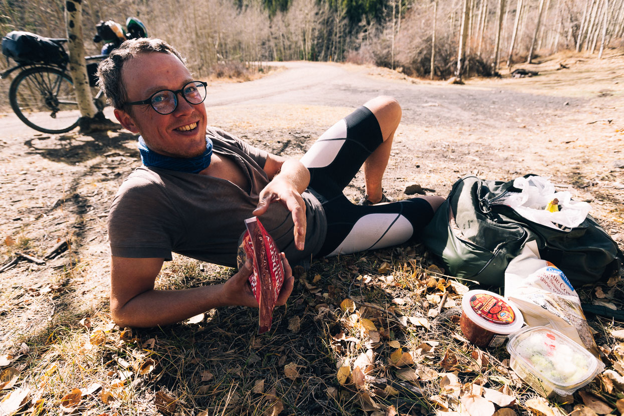
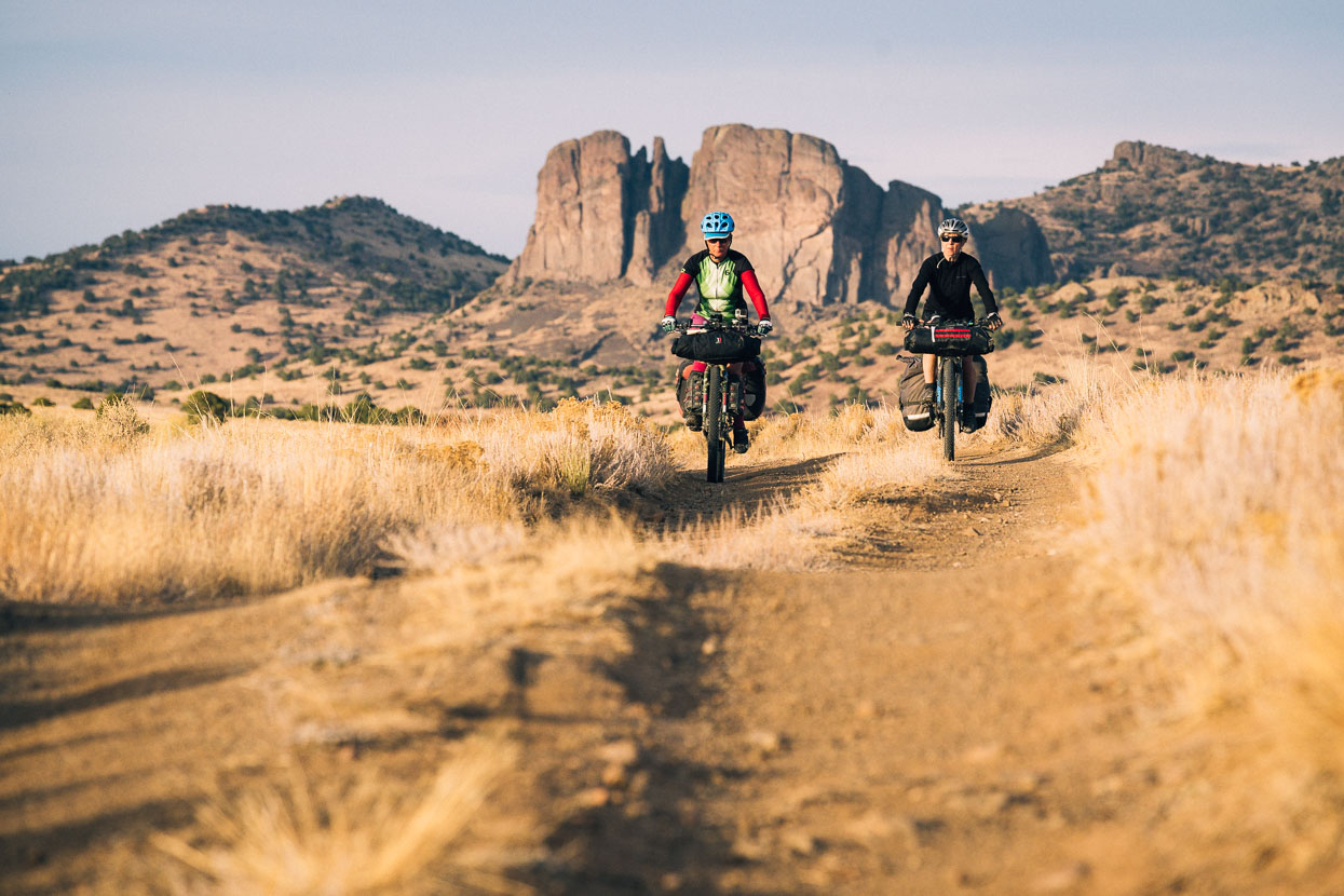
As is his style, Bela left late, hammered up the hill and caught us during one of our many photo stops. An excuse of course for another social lunch and it was great to have the company of both Bela and Anna after so much time on our own on the Great Divide. If you enjoy solitude, fall is a great time to be on the route. During the USA section of the ride, Bela was the only other Divide cyclist we met (aside from Anna who joined us for 17 days).
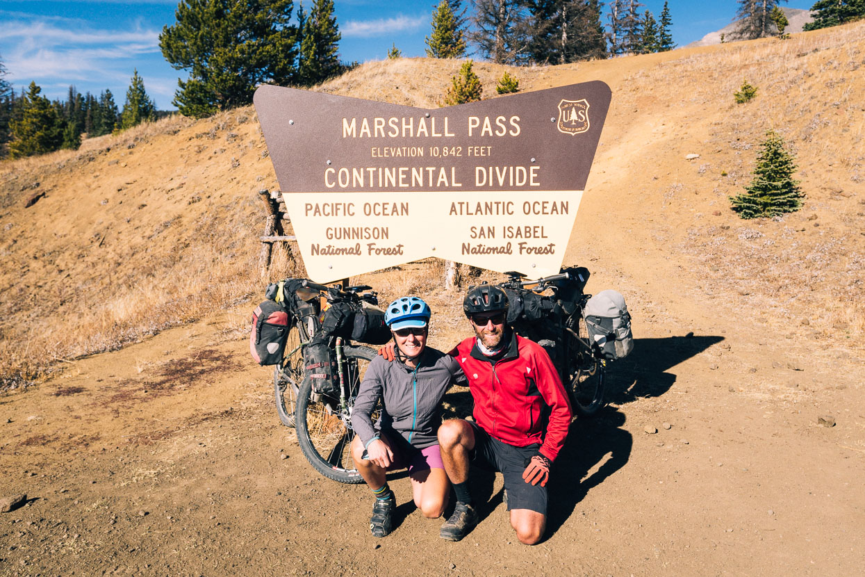
Another of the Great Divide’s highest passes ticked off!
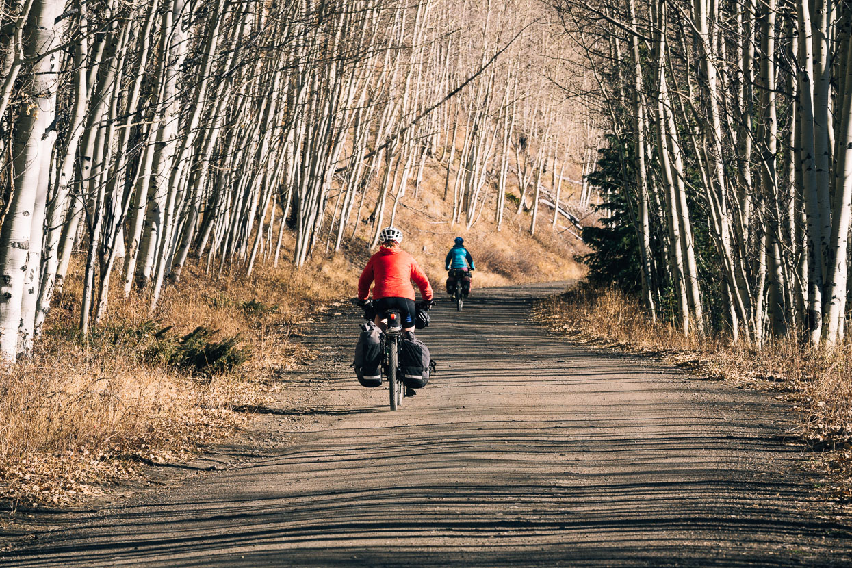
Jackets on, we rolled down the hill in the cooling late afternoon air. Ice still covered some puddles on the verge of the road. With the road virtually to ourselves, we were free to enjoy the flow of a long downhill.
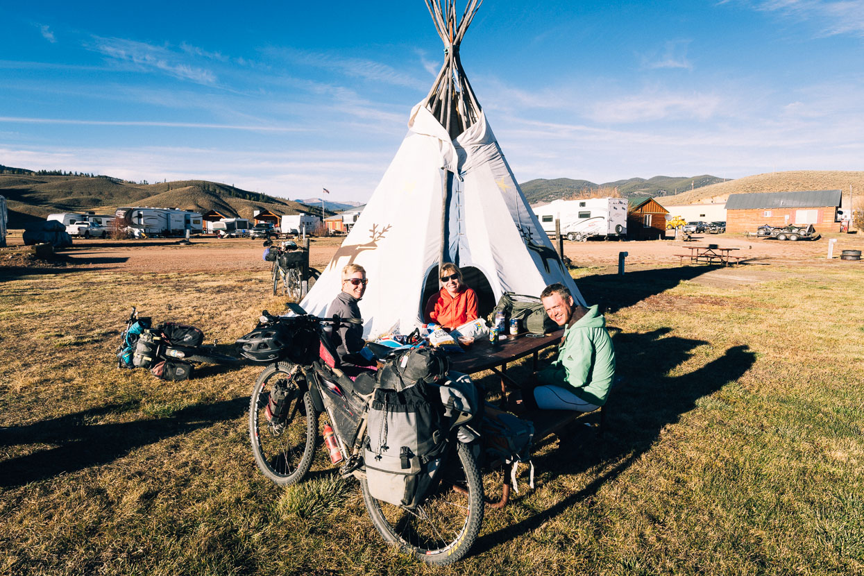
The day ended at Sargents, a one-shop town. The single gas station/bar/burger restaurant/cafe provided camping out back, so we found a spot away from the hoards of elk hunters and called it a day. Being without a tent, Bela was happy to make use of the teepee on an evening that dropped to -10 degrees celcius.
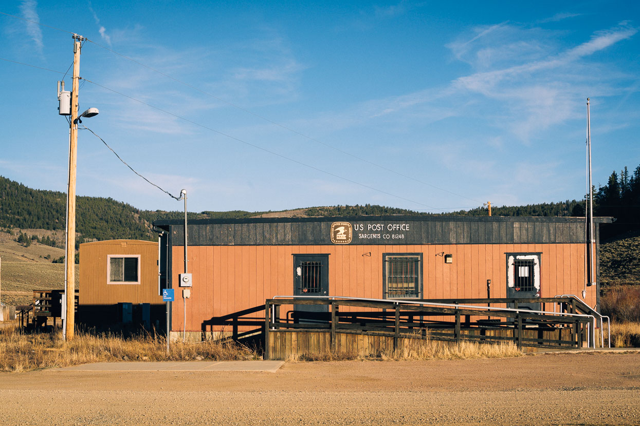
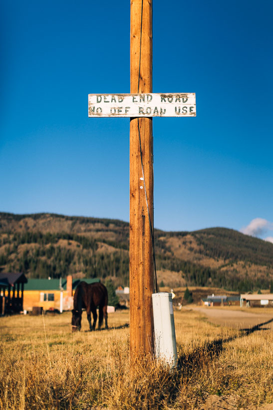
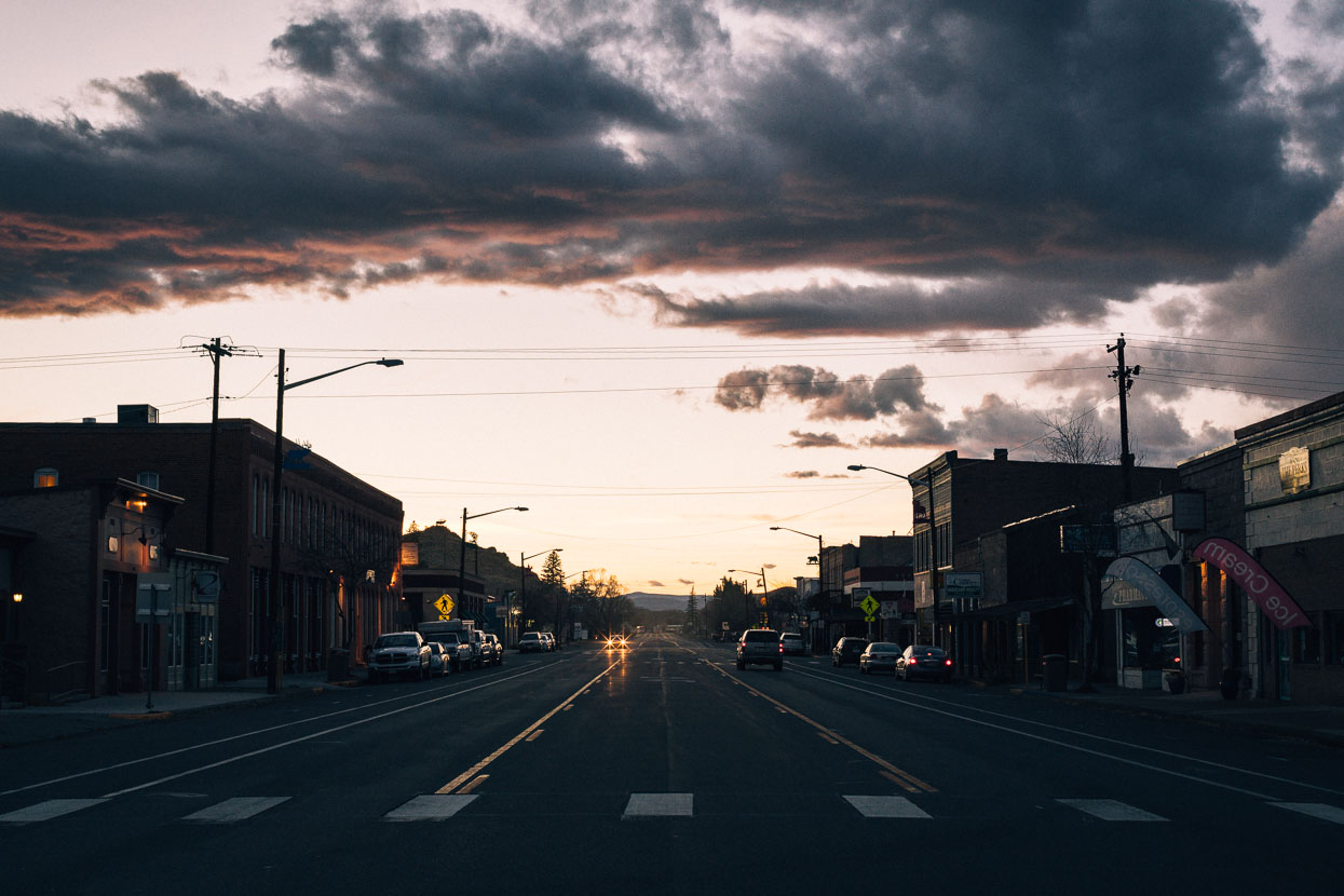
If I have a chance I’ll always go for a wander around the small towns that we often end up in. Rural America has a charm – or lack of – and a curiosity that keeps me continually interested, and I feel like I’ll miss small town USA when we have moved onto the next country. This is our third long trip by vehicle or bicycle in the USA in 15 years. While it’s the incredible landscapes and geology that keep drawing us back, we can’t deny there is a fascination with the culture too: so similar to ours in New Zealand, yet so, so different.
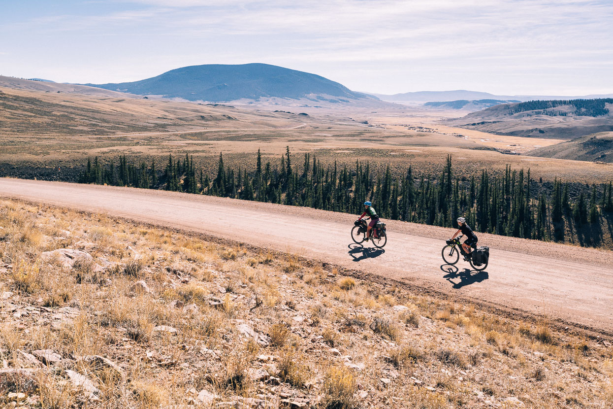
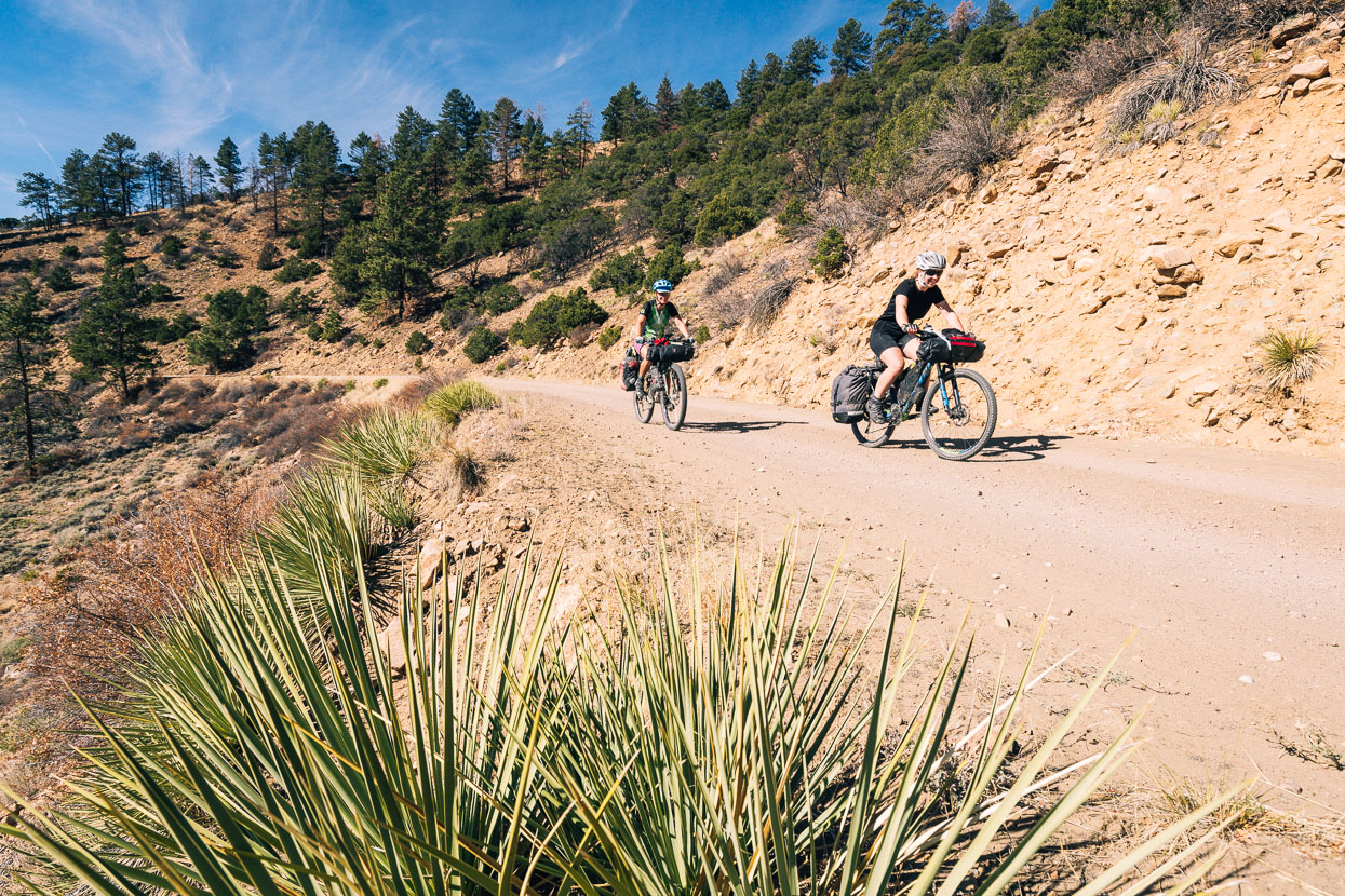
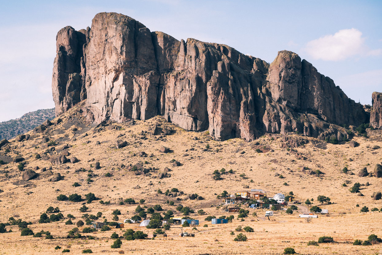
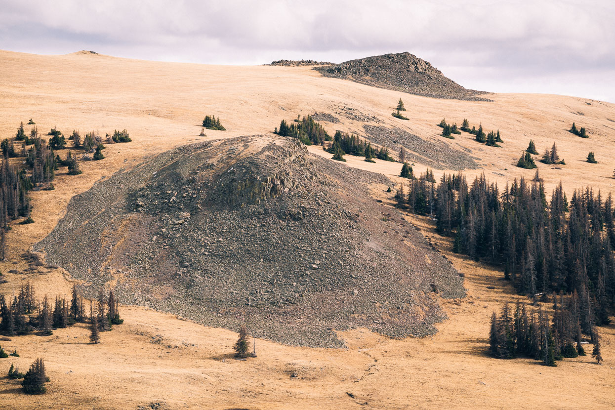
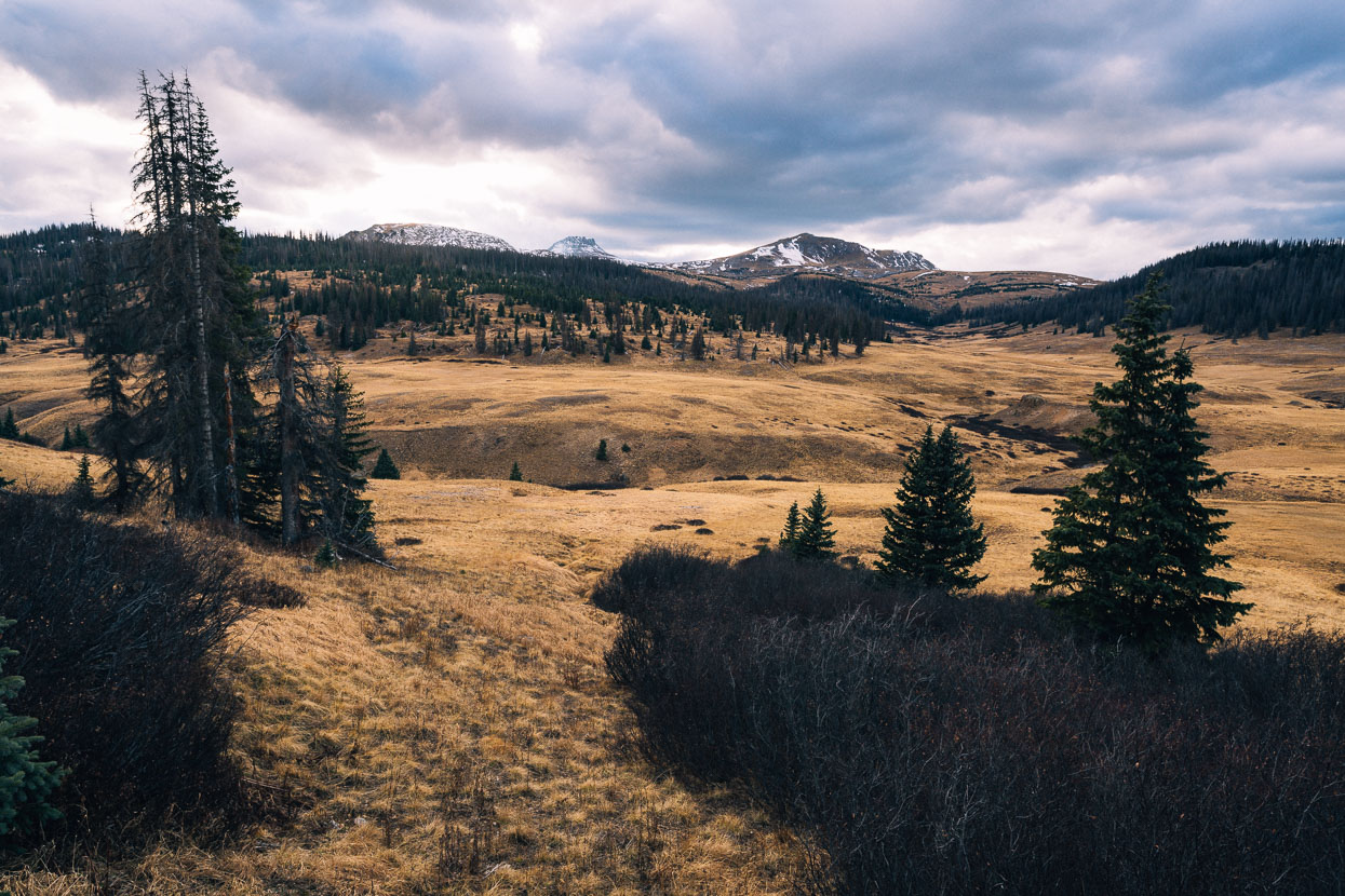
From Sargents we followed pavement for a while before turning back onto dirt at Doyleville, taking big undulating country through grassy mountain-ringed basins; our surroundings seeming as dry as any desert. Cochetopa Dome (photo centre) was one of the more impressive landmarks we passed that day; like previous days a testament to the incredible volcanic activity that has formed hills and valleys through which we find such satisfaction riding.
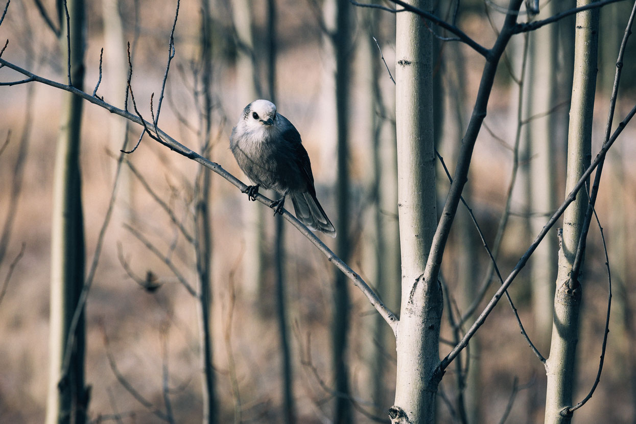
A friendly gray jay at Luders Creek campground, a deserted National Forest site just beyond Cochetopa Pass. The pass is infamous for being the site of disaster for a late 1800s expedition seeking a line-of-least-resistance for the rail road. The party lost 35 men here in a severe blizzard when the ‘guide’ got the group lost.
The following morning Cochetopa Pass dropped us down through a spectacular landscape of volcanic crags and canyons.
Rock, canyons and cliffs became the theme of the day as we turned from one canyon into the next and climbed gently over Carnero Pass. Briefly we came to the edge of the true desert of the San Luis Valley (one of the earliest settled yet most sparsely populated basins of the west) before once again weaving through more formations; a legacy of volcanic activity that began 30 million years ago, as the San Juan mountains began forming.
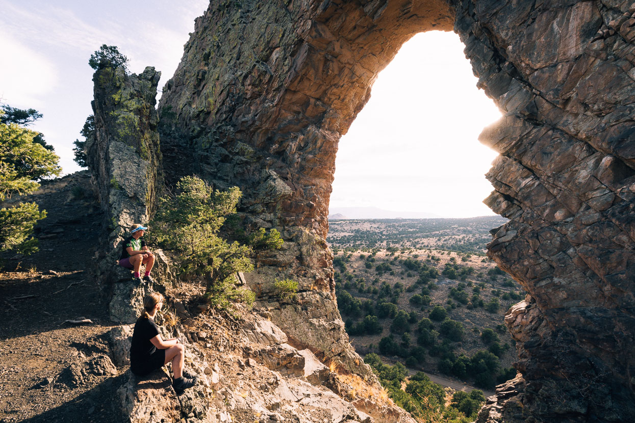
With the afternoon getting away on us we made a quick detour (6km return) to the La Garita Natural Arch – a giant arch eroded through a long basalt dike.
It was an easy scramble to the arch itself, and with a bit of exploring I found a way onto the top of the dike: and a grandstand view of our surroundings. Del Norte lies in the distance, off the end of the dike and to the right, Indiana Pass, the highest pass on the divide route.
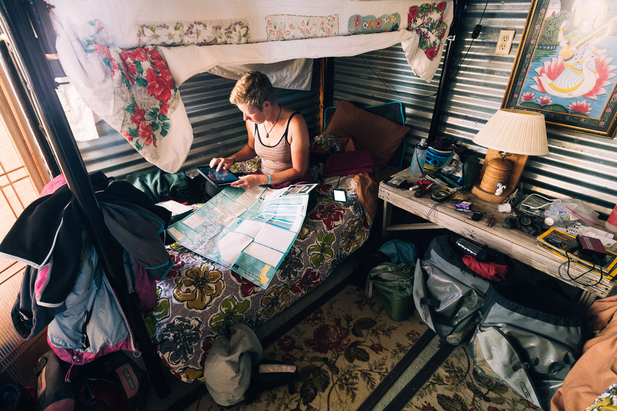
Hana and I were looking forward to a day off after 8 days in a row of hilly riding, and we found the perfect spot for it at the Divide Riders Hostel (run by Organic Peddler). Bela was up for a rest too, so the four of us spent a day eating too much and enjoying the comforts of a well heated room indoors.
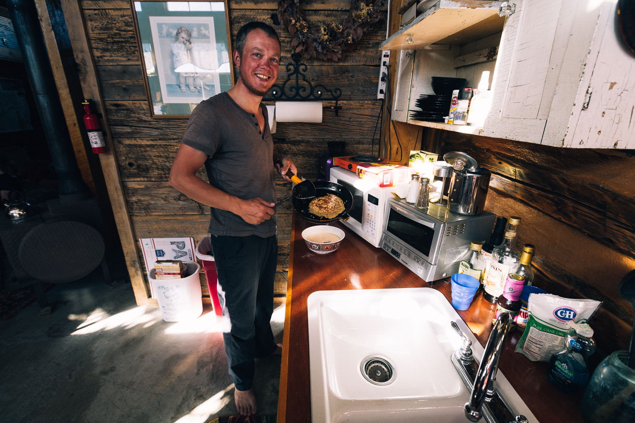
Del Norte was no Salida (there’s not quite the same range of outdoor activity close to town), but its a combination of new agers, outdoors types, off-the-grid dwellers and small town rednecks that makes for an interesting small town with a good vibe. There’s even a micro-brewery!
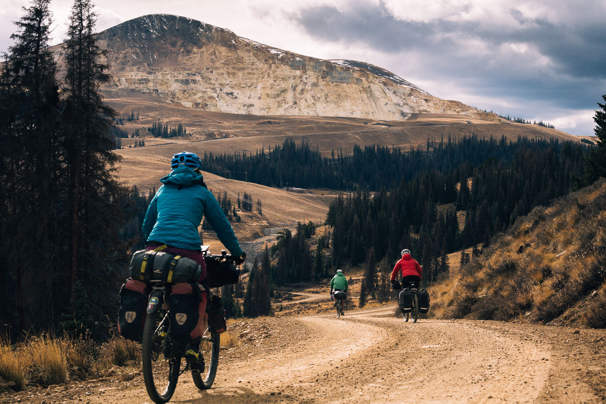
Repeating the pattern of previous days, we were facing a big climb over Indiana Pass (3603 metres). A preamble of cruisy valley riding led to a very long spin up a gravel road (turning to 4WD nearer the top). The climb steepens here and there but was all very manageable with a 22 x 36 smallest gear.
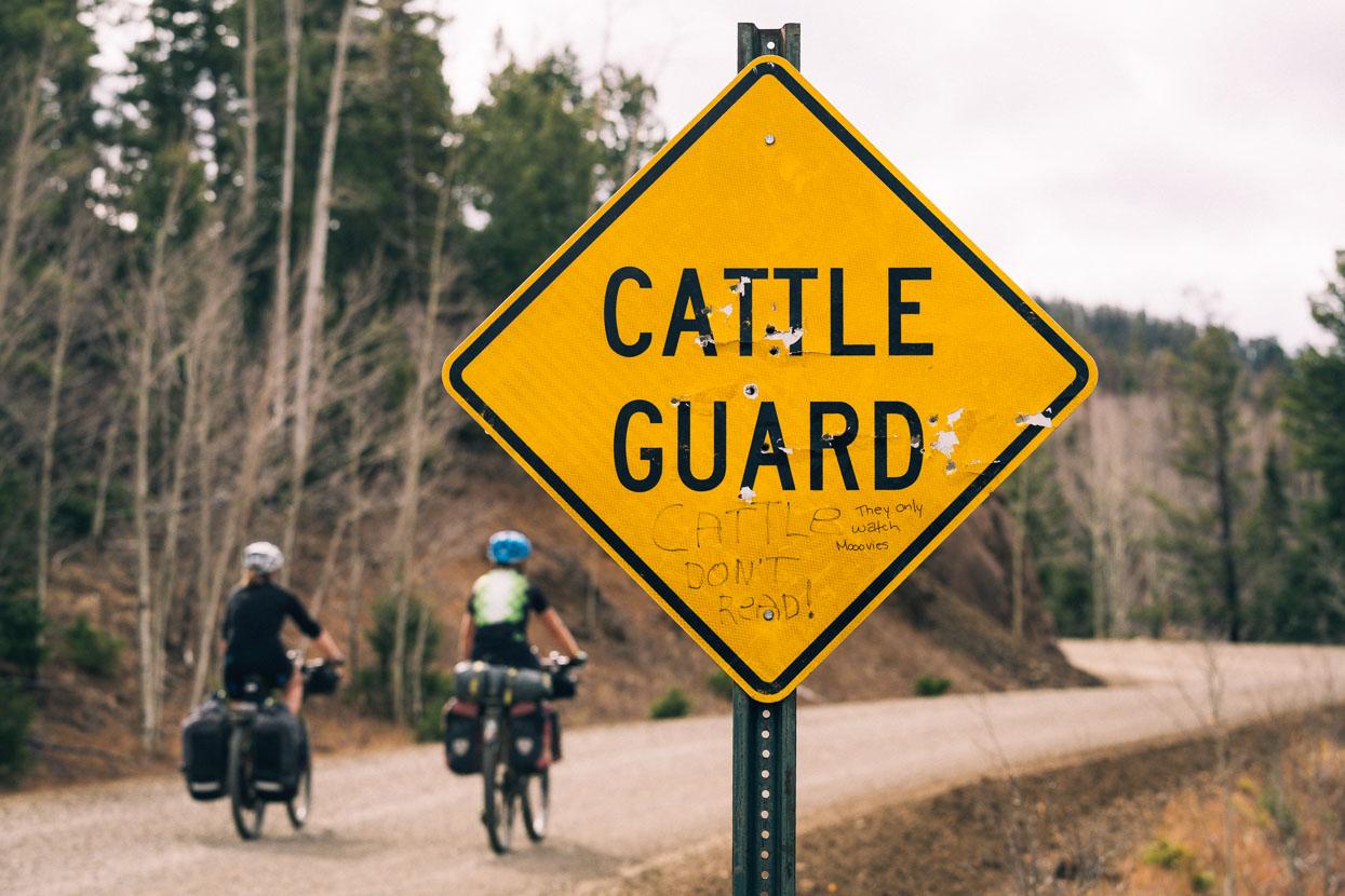
A bit of cattle humour…
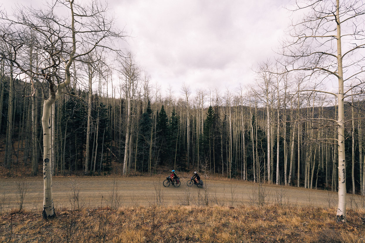
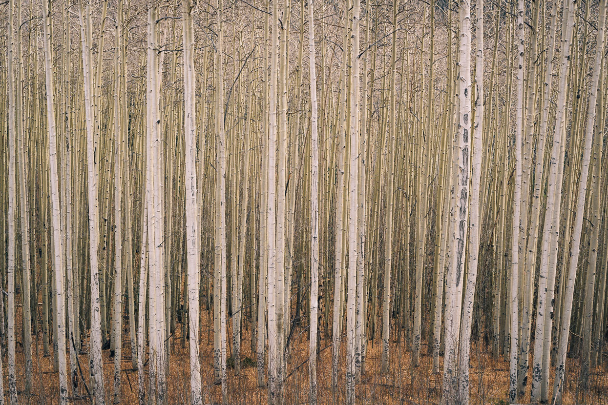
We soon left the arid valley behind, climbing through some amazing aspen stands – the biggest we’d seen. We could only imagine what it would have been like to be here earlier in the fall, with a blaze of orange capping the trees.
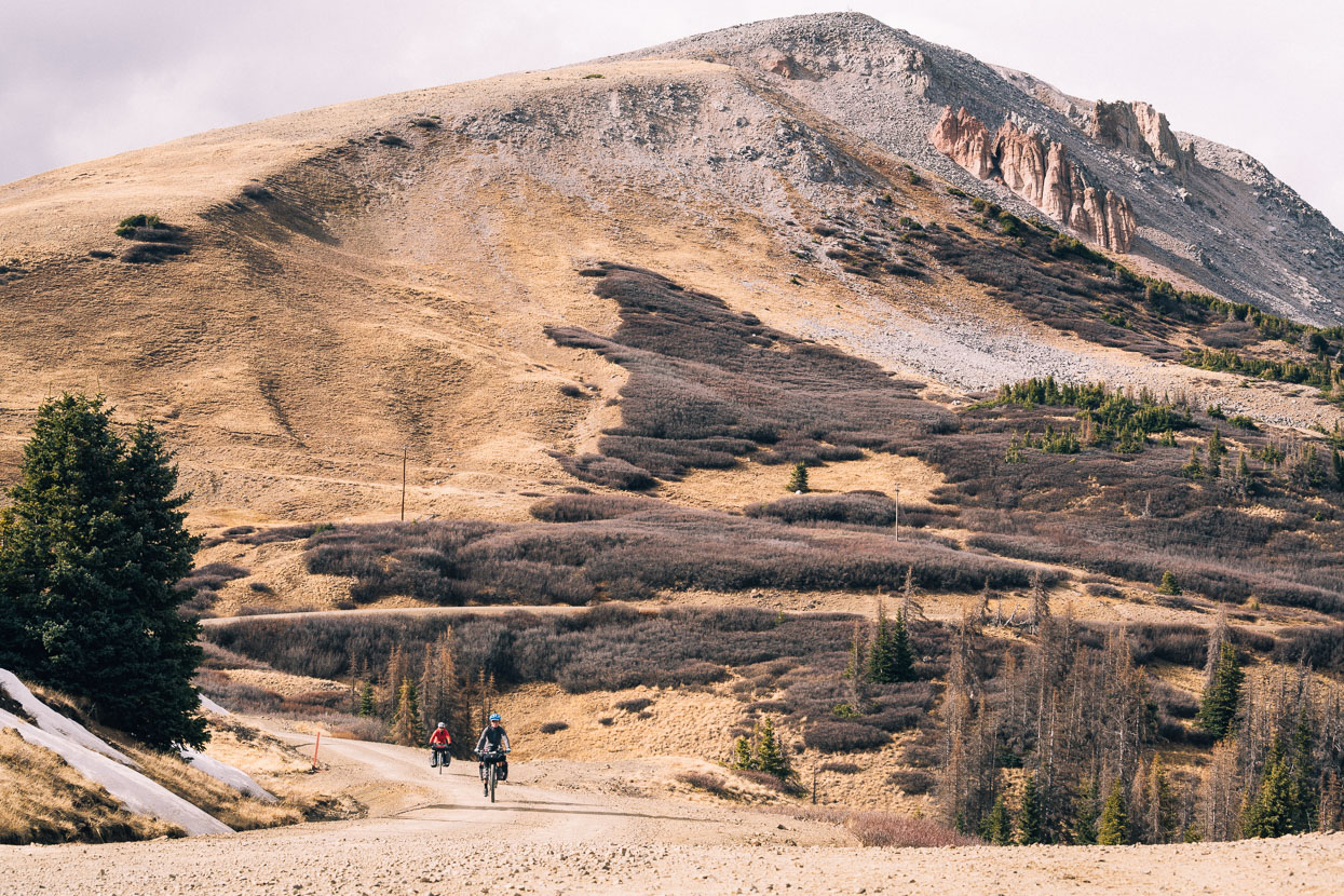
The aspen stands turned to spruce, reminding us we were going high, and soon we broke out onto the open tops of the range, below Grayback Mountain (3845 metres). A cold wind gusted from the north west and patches of snow from the last storm lingered on shady banks. The land had no pattern to it, its topography formed apparently randomly by an age-old story of volcanic activity.
Mysterious formations slowly succumbing to a relentless freeze thaw cycle.
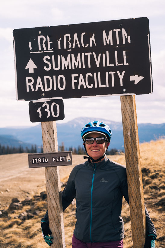
11,910 feet/3603 metres: high point of the Great Divide MTB Route = stoked!
The battle was over, but we hadn’t won the war yet. It was still a long way to Platoro (where we had called to book a cabin), and while we were generally headed down, we had two more small Continental Divide crossings to make en route.
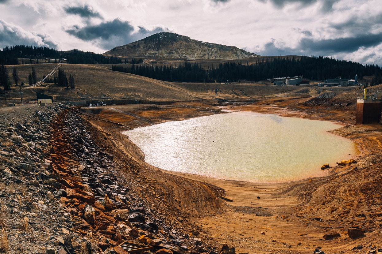
The route took us past the hideous mess of the Summitville Mine superfund site, mined from the the 1870s to the early 1990s. The most recent operator was given a cease and desist order after it was discovered heavy metal contaminants were polluting nearby water catchments due to the mine’s techniques and poor water handling. An estimated 85,000 US gallons had contaminated local creeks and rivers. The government spent $155,000,000 in public funds remediating the site.
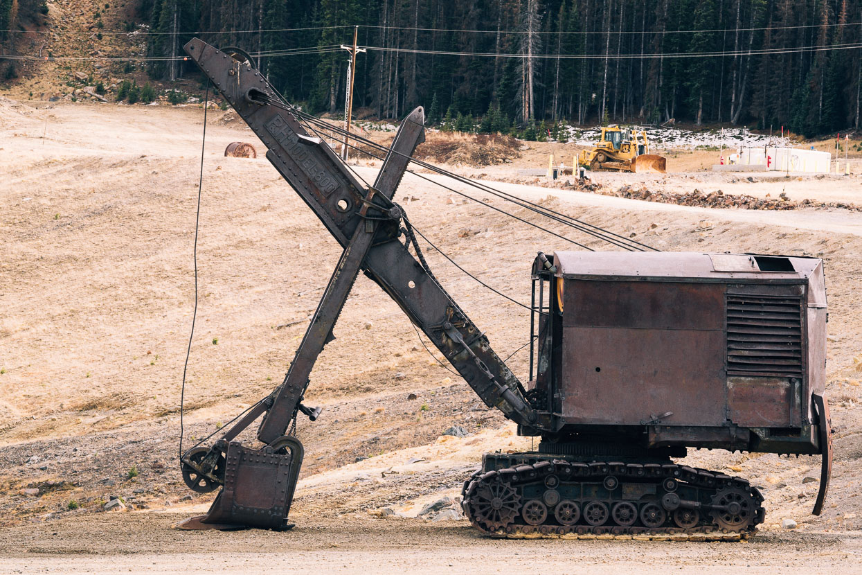
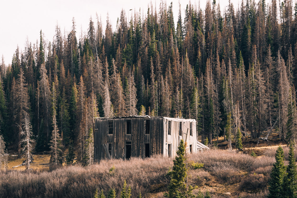
Ghostly ruins of several generations of mining litter the valley.
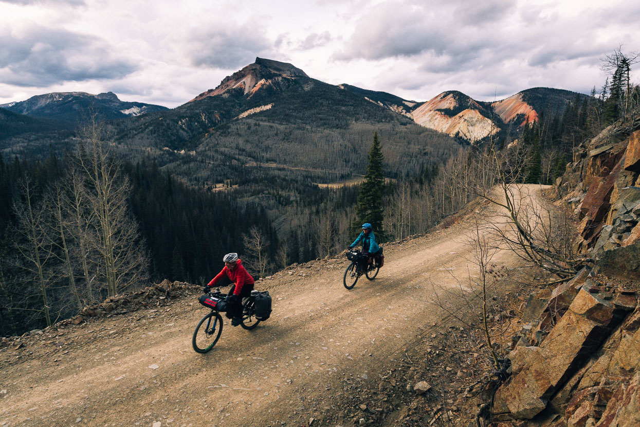
While just around the corner lay a pristine feeling alpine environment.
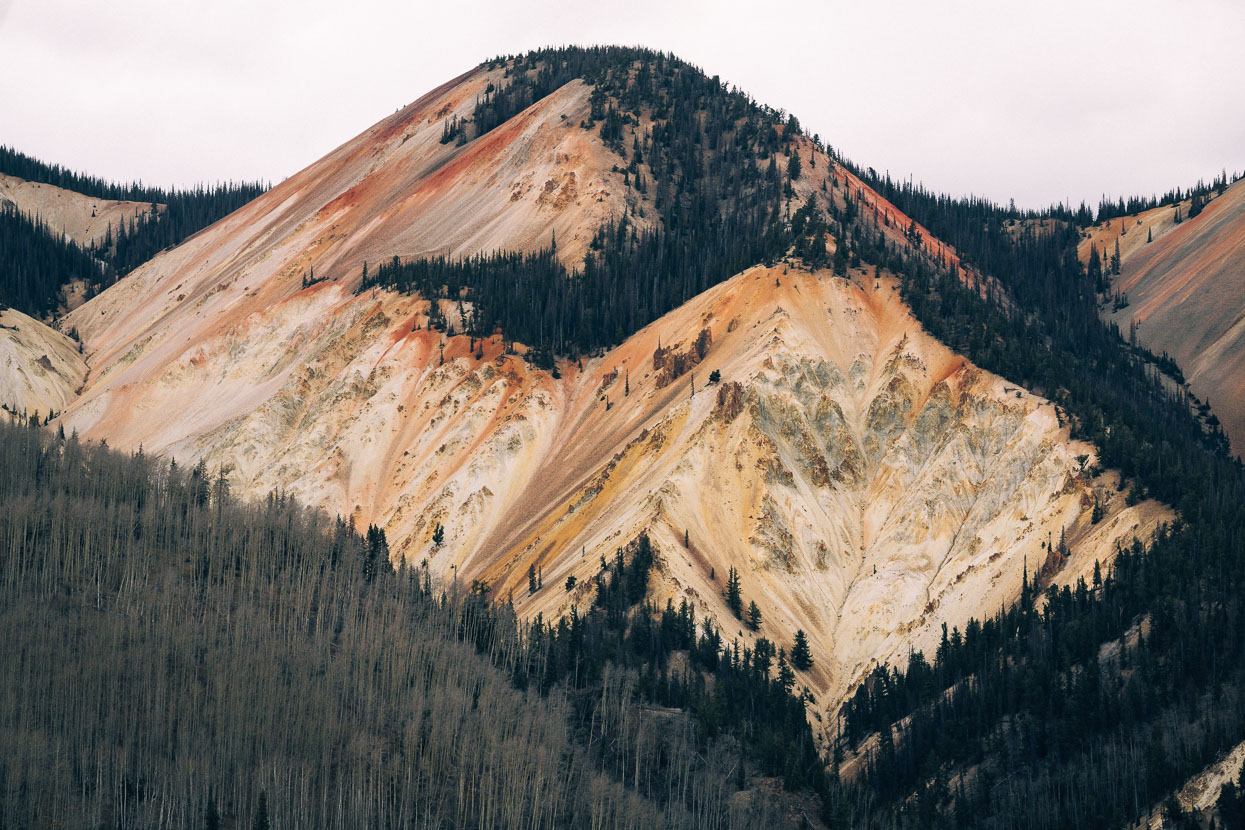
This range’s mountains are naturally high in heavy metals leading to already marginal levels of natural contaminants in local water, sure makes for colourful hillsides though.
Climbing out of Alamosa Creek towards the last saddle before Platoro in gathering darkness (1600 ISO on my camera gives the impression that it’s brighter).
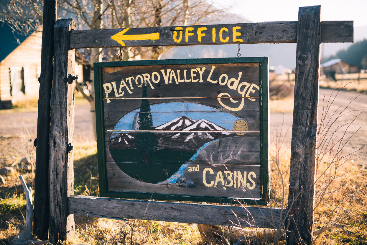
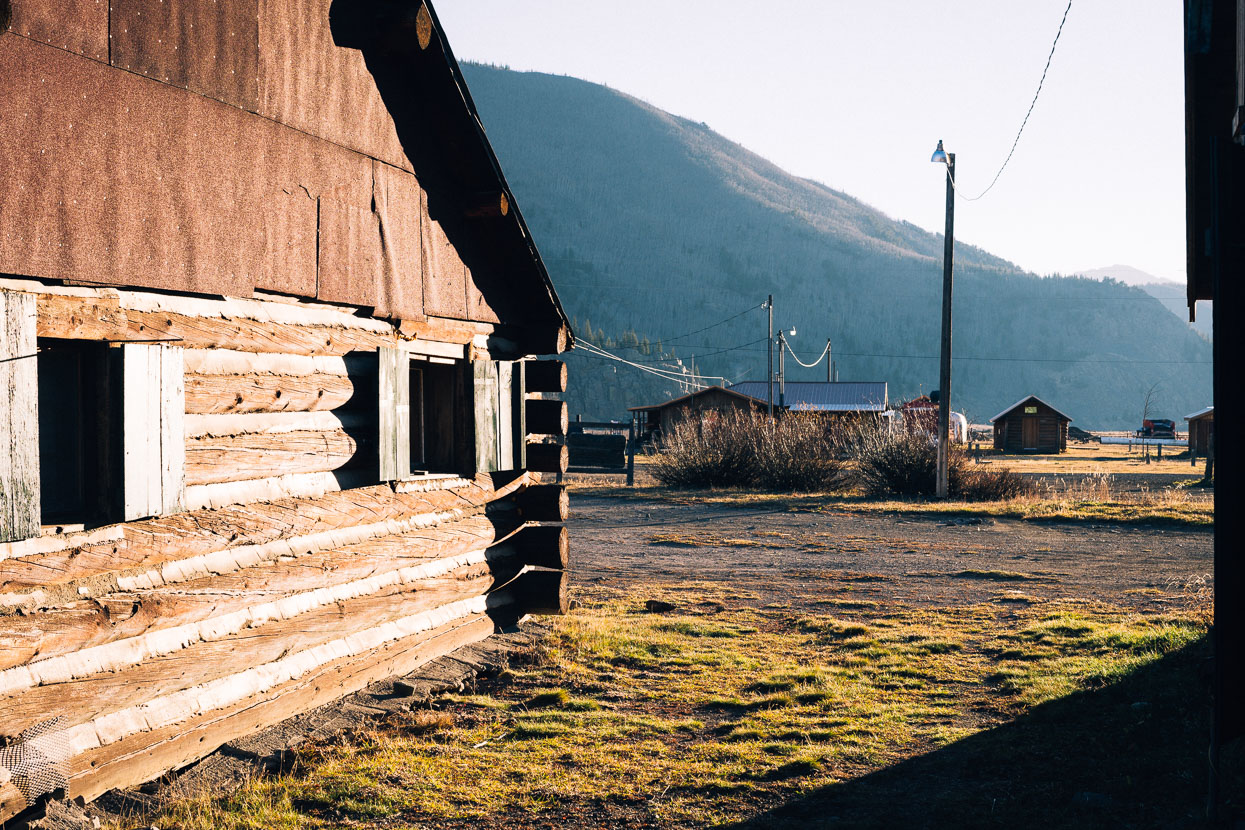
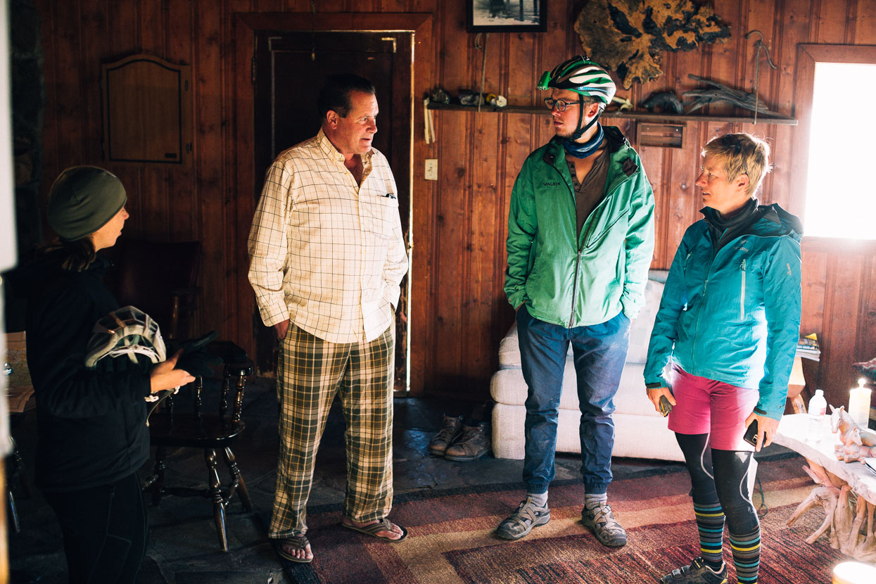
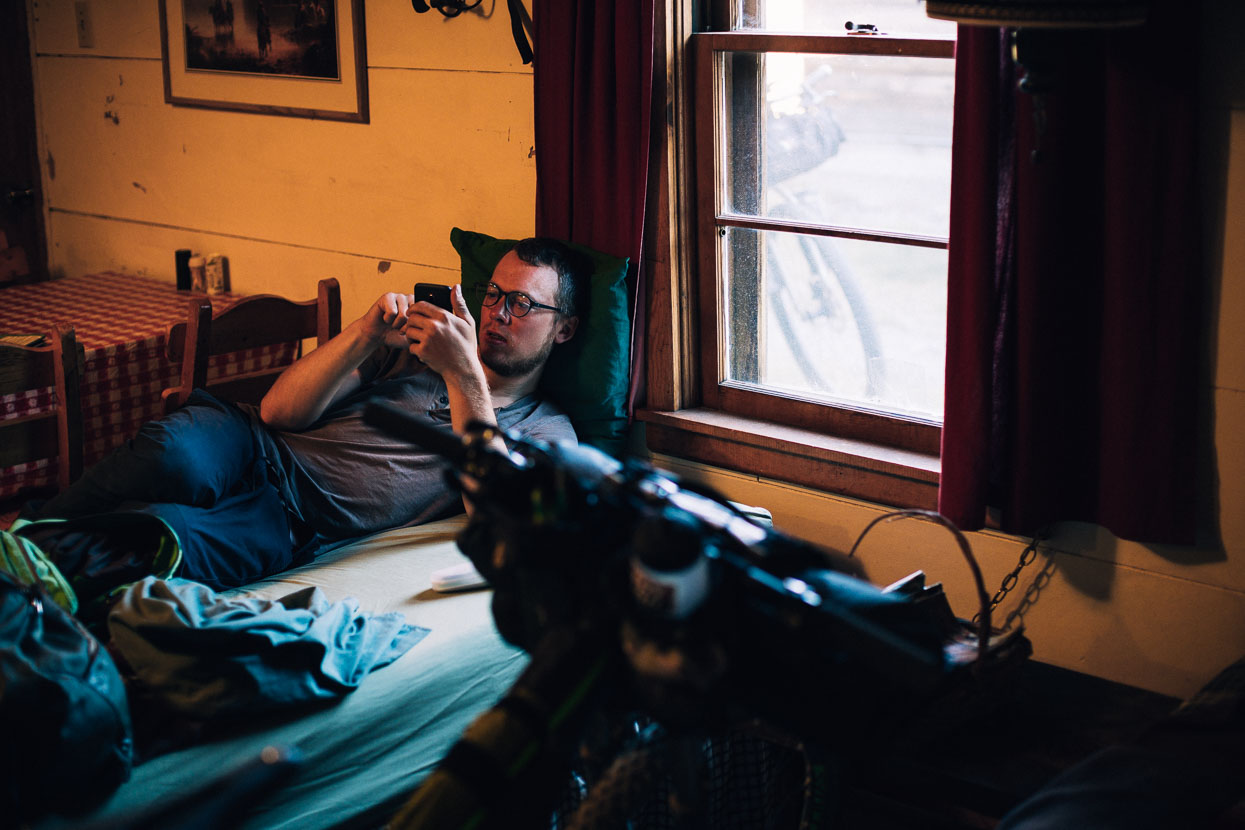
We arrived well after dark to find the the small alpine township of Platoro deserted except for two people. On the cusp of winter, owners had shuttered their windows and headed down valley for somewhere warmer. Paul, hailing from the far north eastern USA, had struck up a partnership with a mate, running one of the cabin/lodge sites in town. He reckoned he’d be spending the winter there alone; just him, his dogs and a regularly visiting (and possibly imaginary) ‘bear’ whom he referred to often.
His generosity was awesome: a ridiculously cheap room for the night, free beers on arrival, and an invitation for more once we’d cleaned ourselves up. Much of the evening was spent listening to Paul’s hilarious, and sometimes apocryphal, stories – such as the one about a grizzly bear sighting in the valley. Grizzlies are thought to be extinct this far south in Colorado, and the photo ‘evidence’ was an image I recognised from Alaska! We can’t recommend Paul’s cabins enough though and he’s very keen to help out bikers.
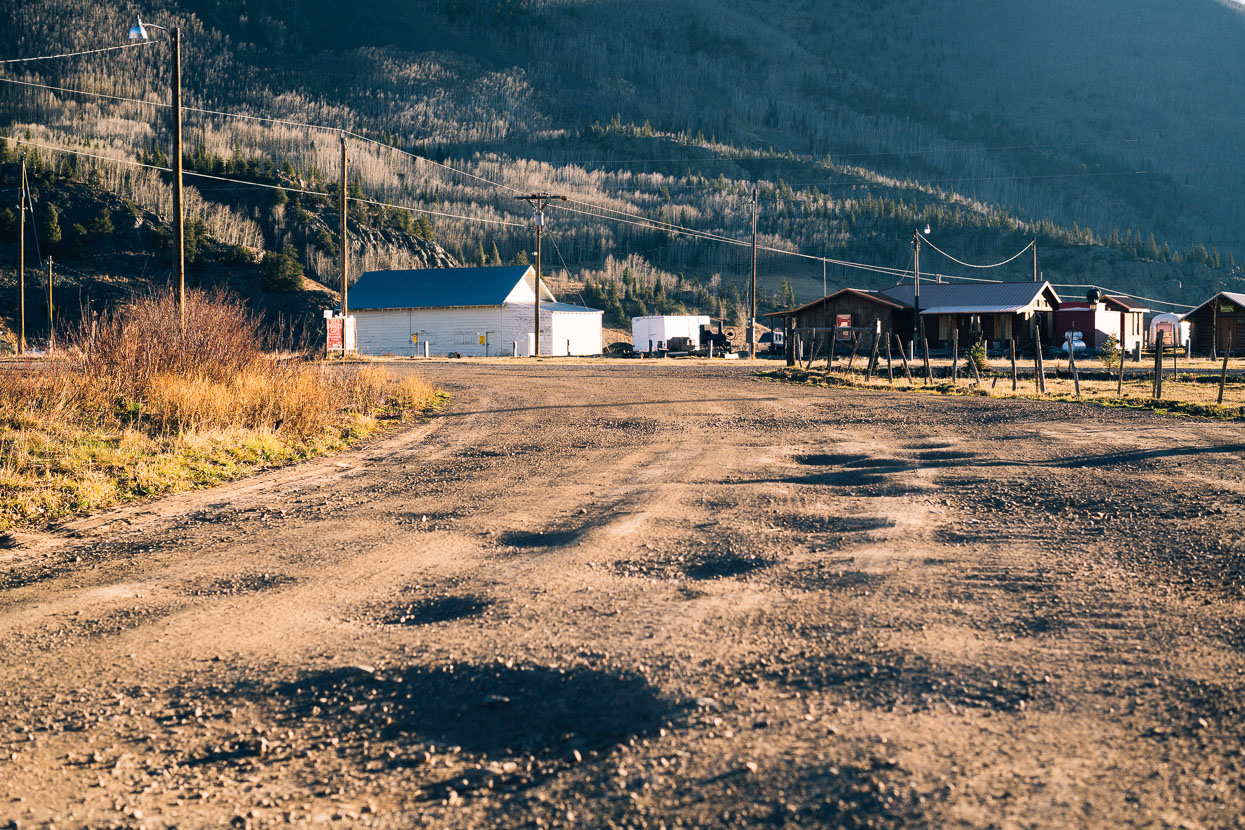
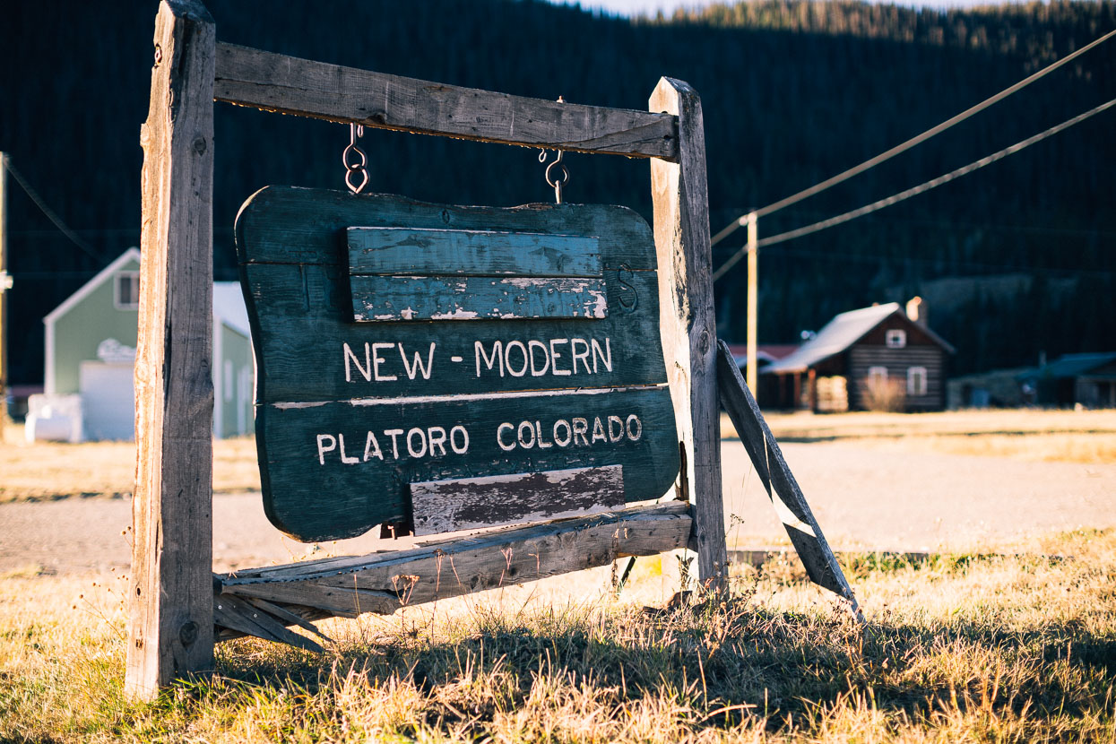
Platoro was established as a mining camp in the 1870’s when silver and gold was discovered around the nearby headwaters of the Conejos River. The name combines the Spanish words for silver and gold (Plata and Oro).
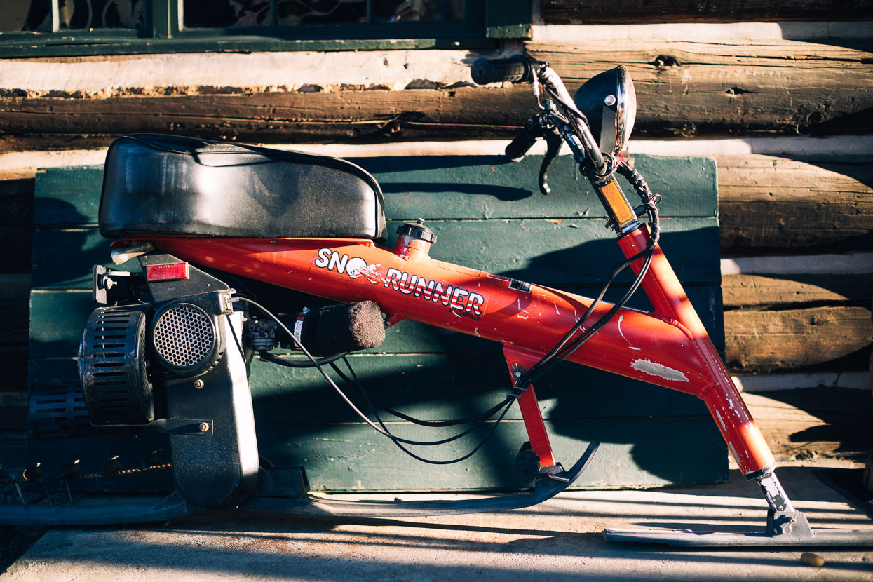
I guess Paul will be getting around on this thing within a few weeks of our visit.