
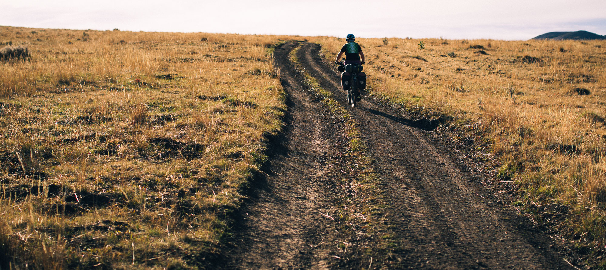
Lying mostly east of the Continental Divide, this section of the Great Divide mountain bike route was our first introduction to the big sage brush basins and more arid, open forest of the divide highlands; a different world to the more verdant and varied forest of the west.
From here on the route rarely dips below 1800 metres elevation, and Butte would be the last large town for quite some time (in fact it’s the biggest on the route). After the grey skies of our first few days on the trail in Montana the weather lifted to give reasonably warm days, but the nights were becoming increasingly cold and frosty.
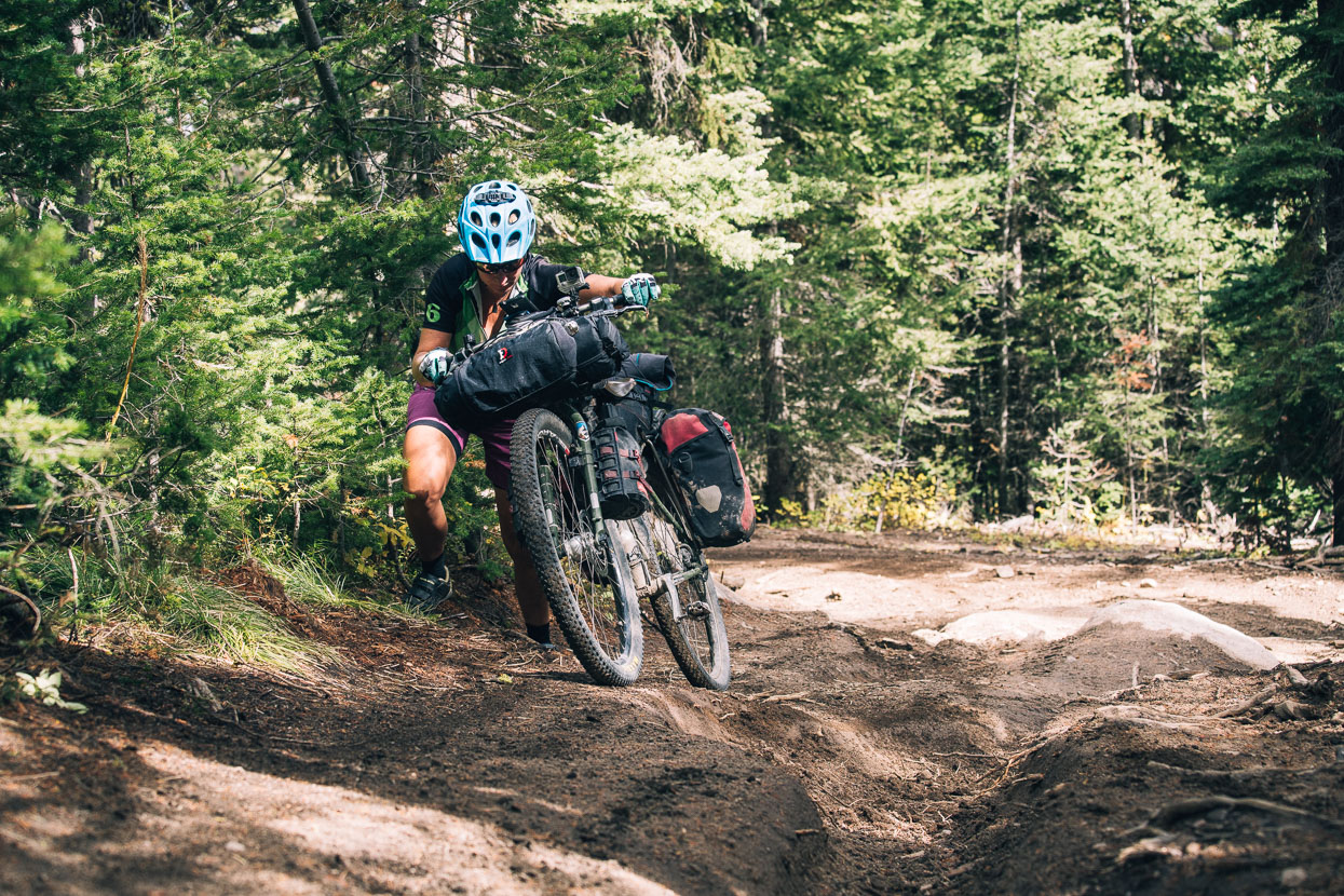
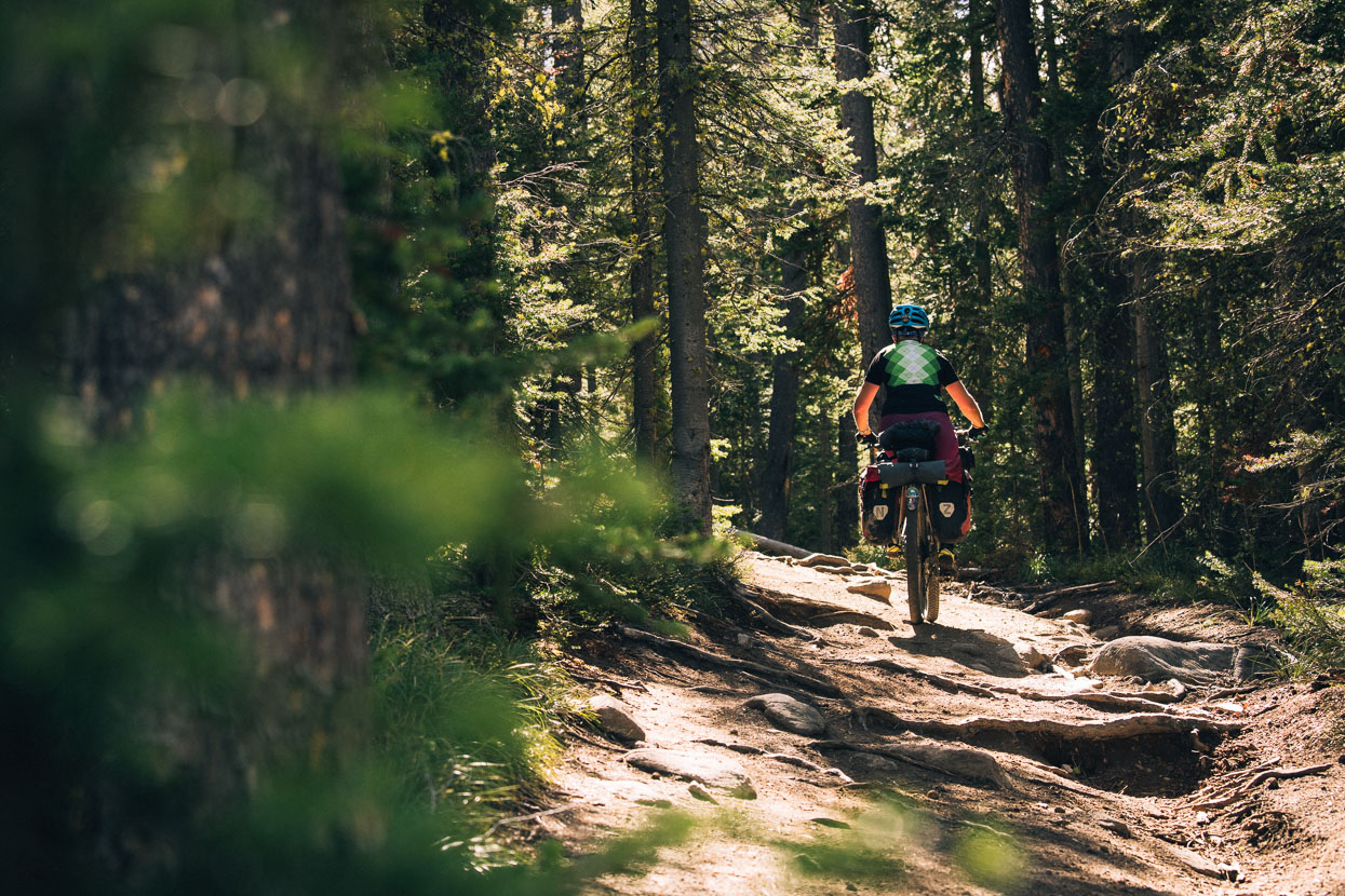
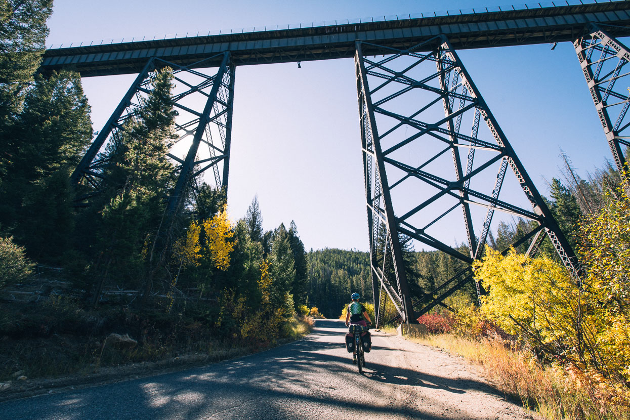
We arrived in Helena in the dark and and left early the following morning so unfortunately saw little of this interesting sounding town. The architecture we glimpsed as we rode to our night’s accommodation in one of the city’s historic districts looked compelling, with much grandiose stone and brick work – quite in contrast with the tiny communities and run down townships we’d passed through in previous days. Out of town we were soon on a dirt road and climbing again on good surfaces through Beaverhead Deerlodge National Forest, with the exception of the technical climb of Lava Mountain Trail – a steep three kilometres of rutted quad bike track, washed out by rain and chewed by motorbikes. Trying to ride the whole thing clean was a fun challenge. Just another of the surprises the GDMBR throws at you each day.
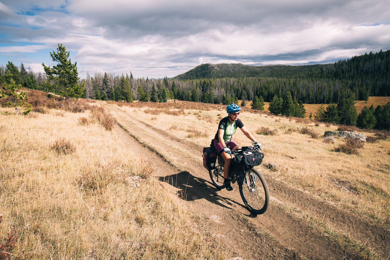
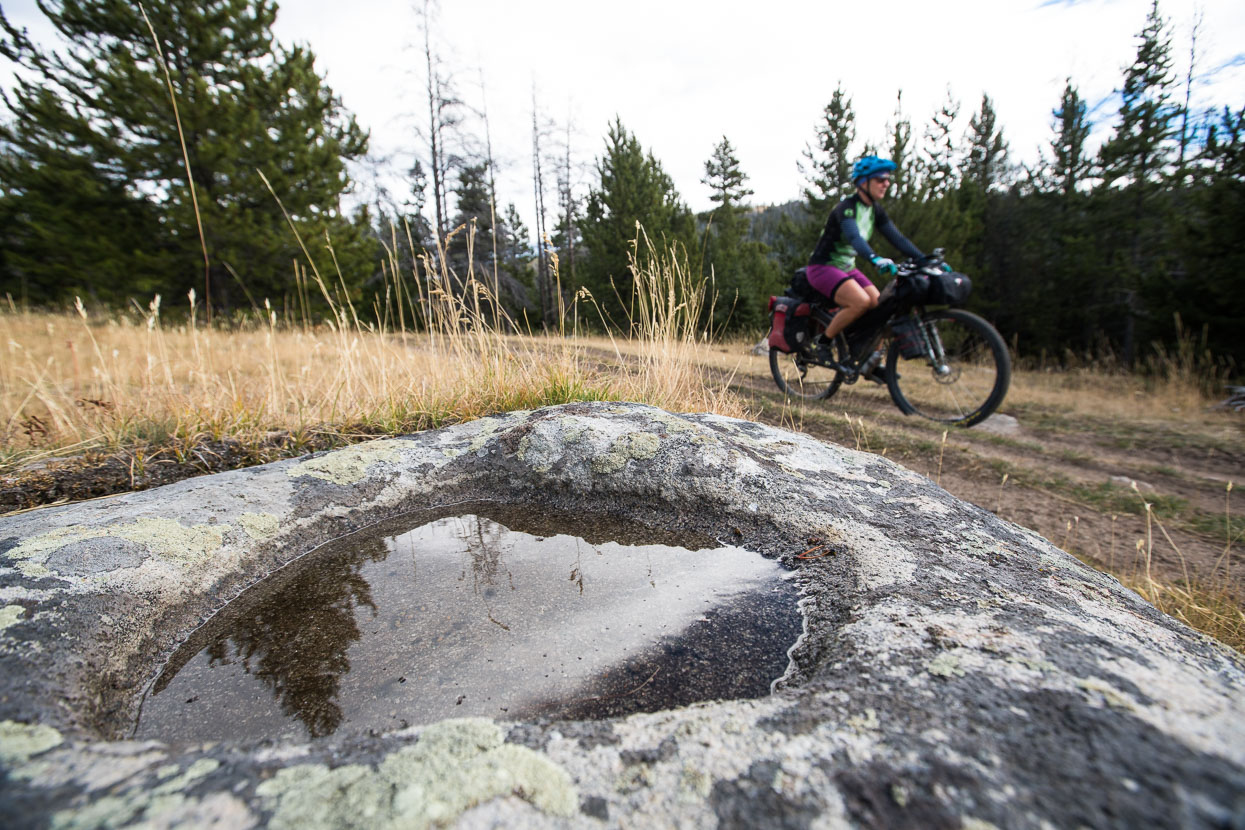
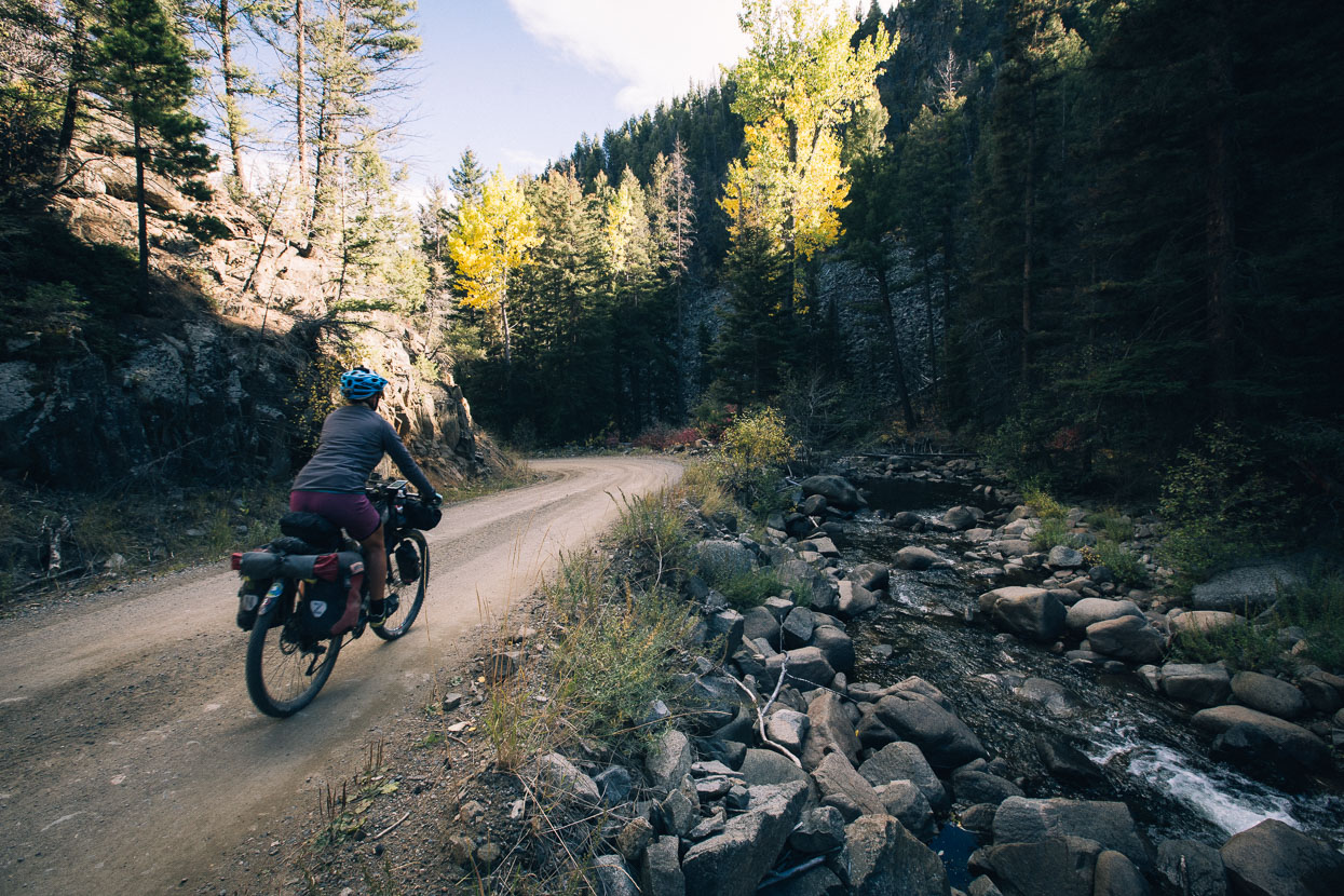
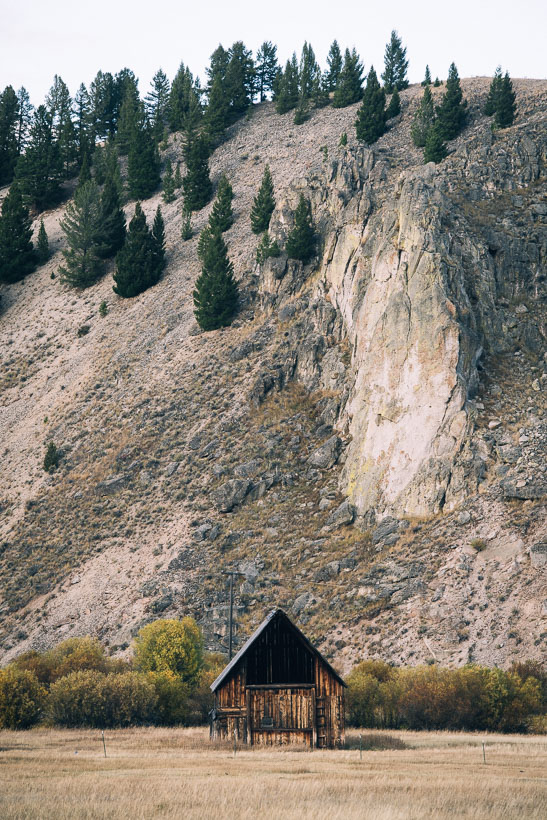
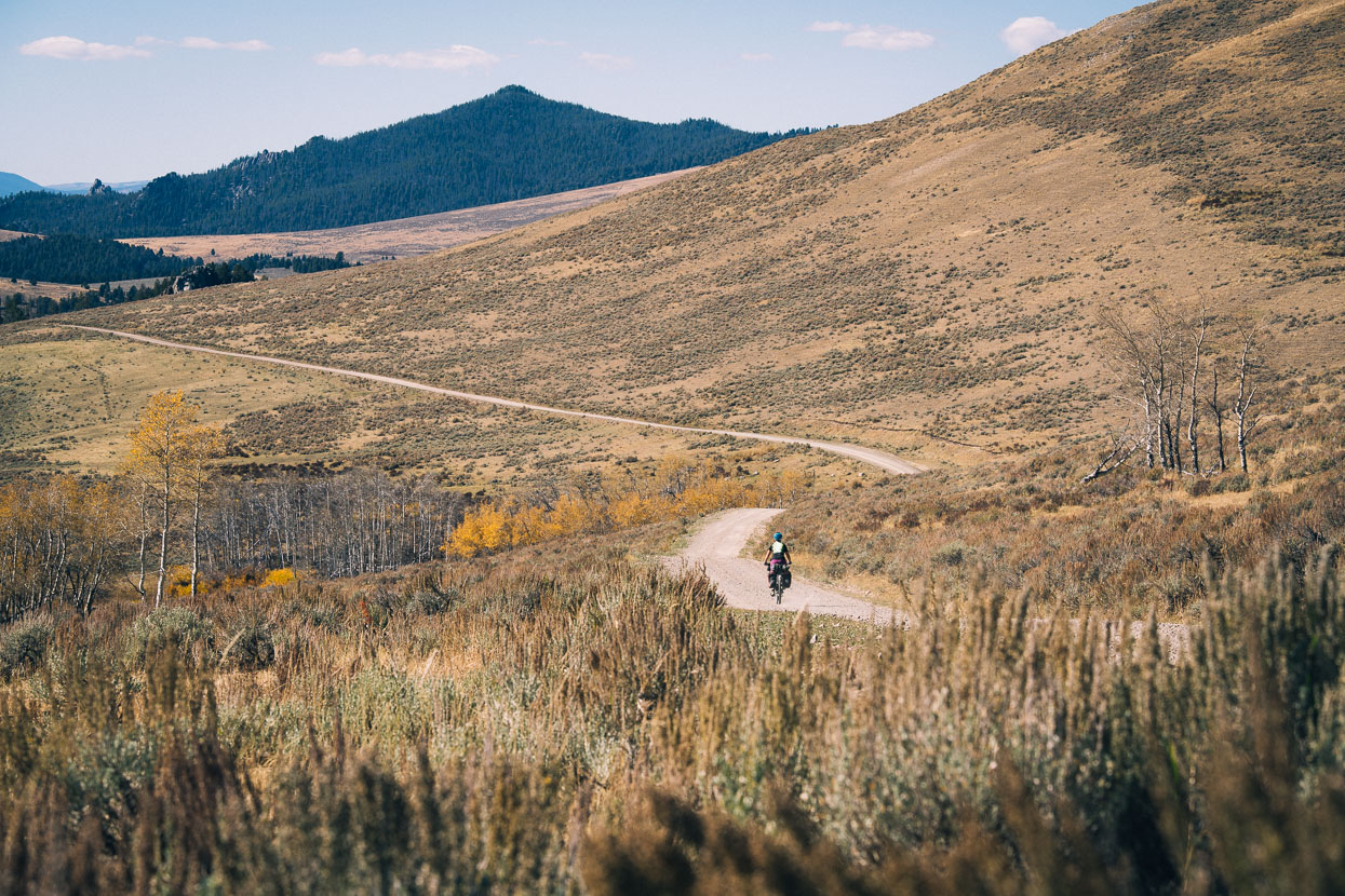
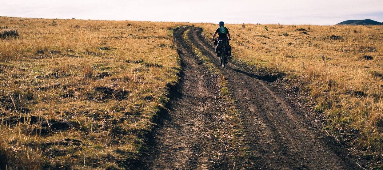
Large forest stands and open grassy basins, dotted with occasional granite boulders are the hallmarks of this section of the ride along the rockies. The trail connecting them a mix of gravel and 4WD forest roads and mellow windy double track. The trail through Montana has a rhythm of climbs over ranges, followed by long descents into valleys, each one different: revealing a landscape that changes faster than we expect. In the afternoon we drop into a steep canyon and make a long descent to an interstate highway near Basin. After days of following roads whose form is dictated by the landscape, the interstate is an intrusion across our path – a wide band of concrete and steel unfurled along the valley. We skirt its edge via an old farm road and ride into Basin for afternoon tea.
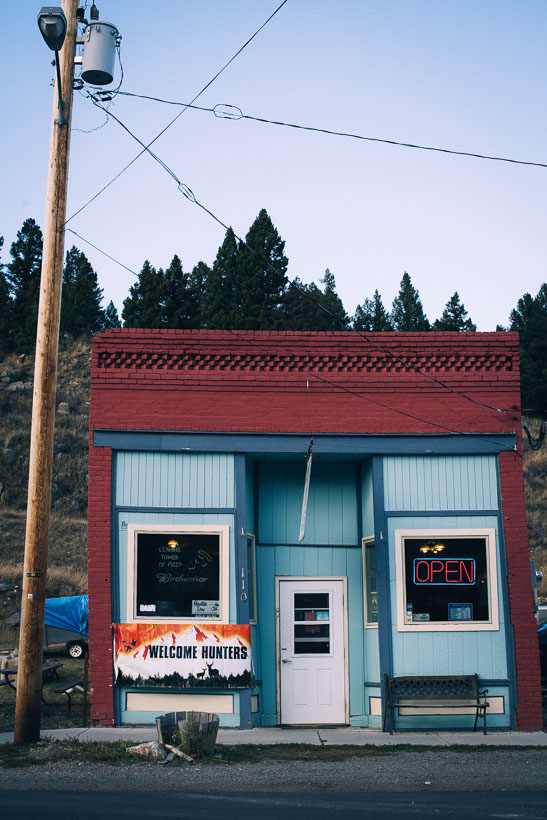
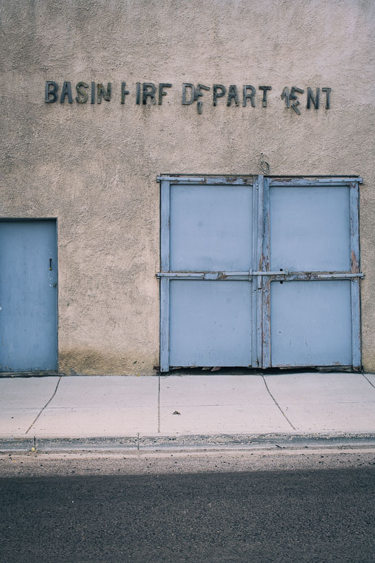
There’s not much in Basin that isn’t wonky. Abandoned cars litter front yards, paint peels and the streets are empty. We eat side salads, pumpkin slice and drink weak coffee in the diner. It’s bow hunting season, and a Sunday, so much of the rest of the clientele is in camouflage.
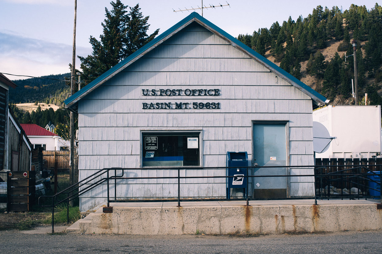
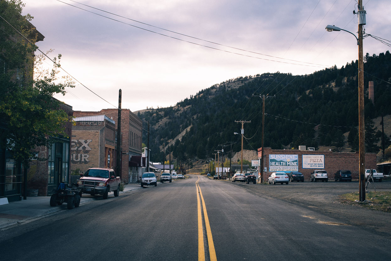
Main Street, Basin.
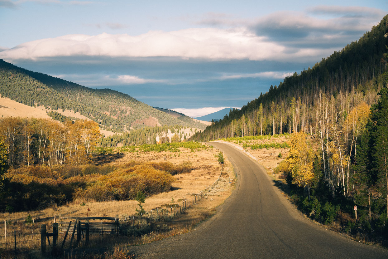
After a few kilometres paralleling the interstate on a farm track and gravel road we broke into a new valley, heading into the hills again.
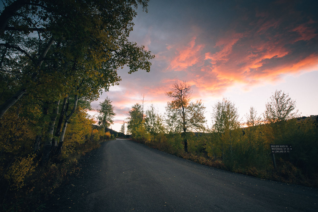
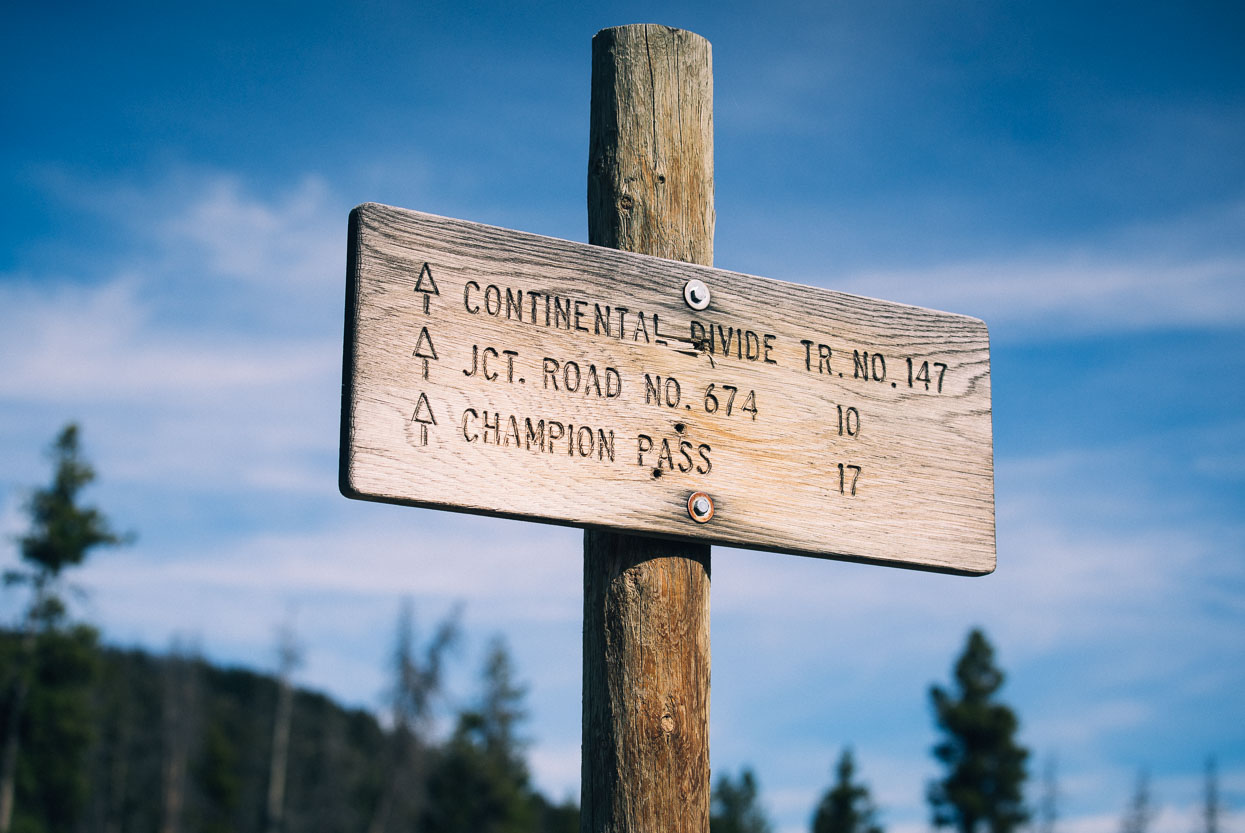
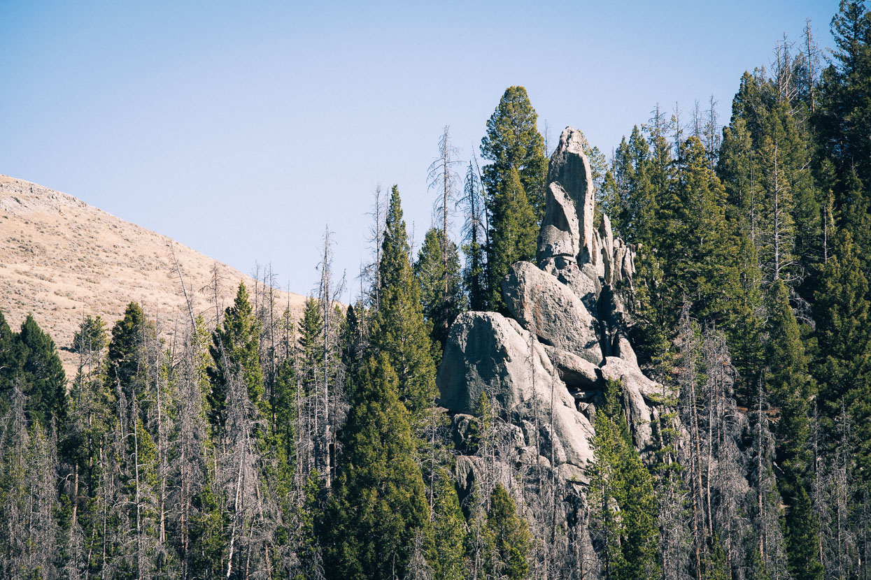
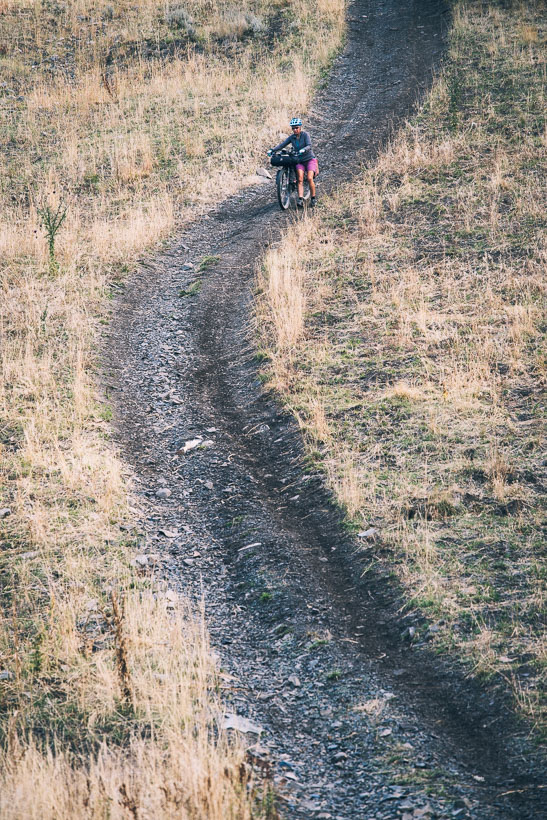
Lowland Creek Road area, before heading through more hill country towards Butte.
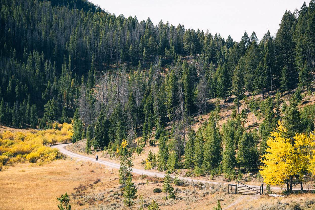
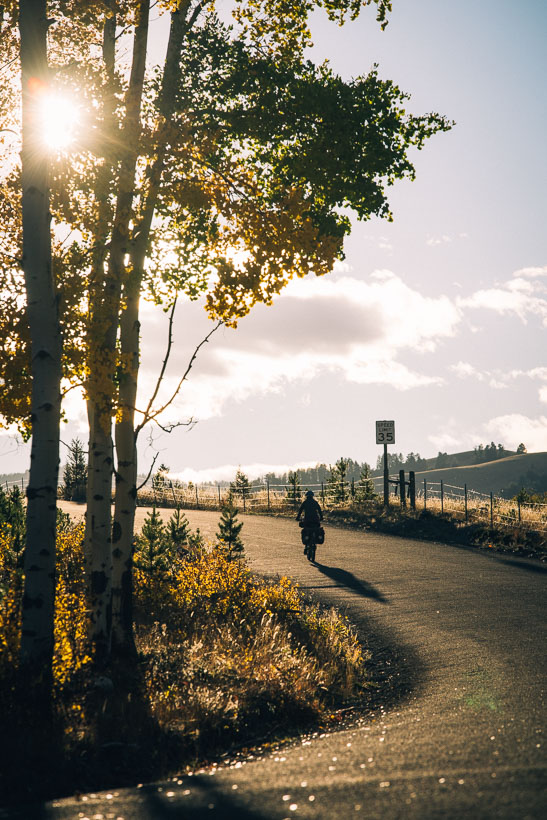
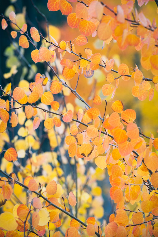
Just us, the road, and an occasional hunter’s vehicle. Fall’s colour brings radiant bursts of yellow and orange to the forest.
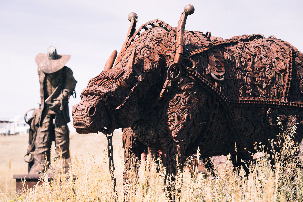
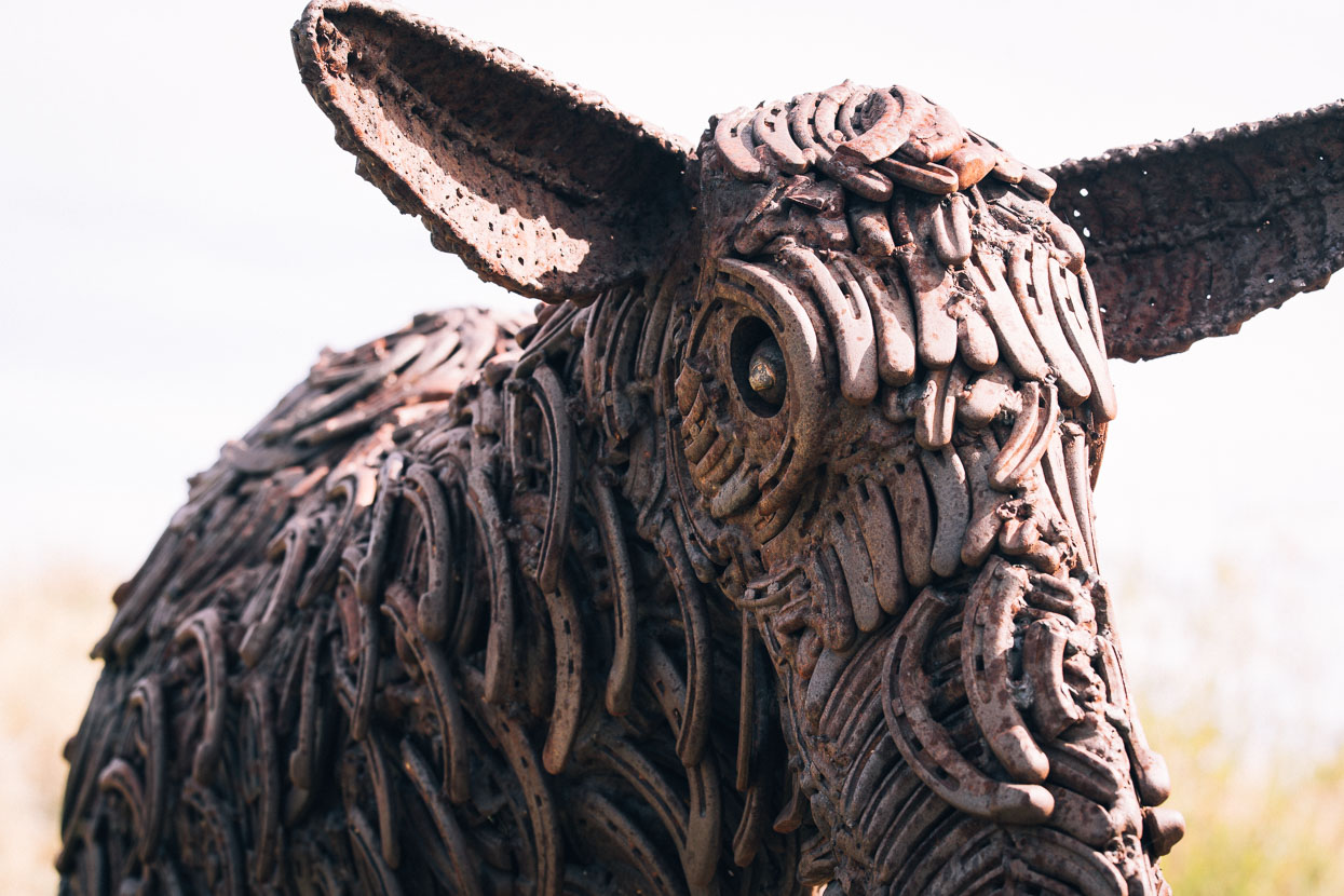
We broke out of the forest west of the old mining city of Butte, freewheeling down a long grassy valley and traversing rolling hills patched with sage brush. A collection of iconic symbols of the west, formed from scrap metal and horseshoes caught our eyes: meticulous detail and craftsmanship slowly oxidising on the roadside.
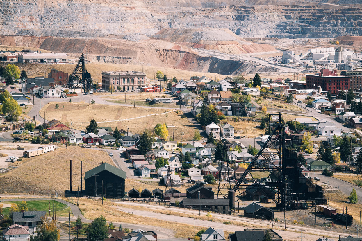
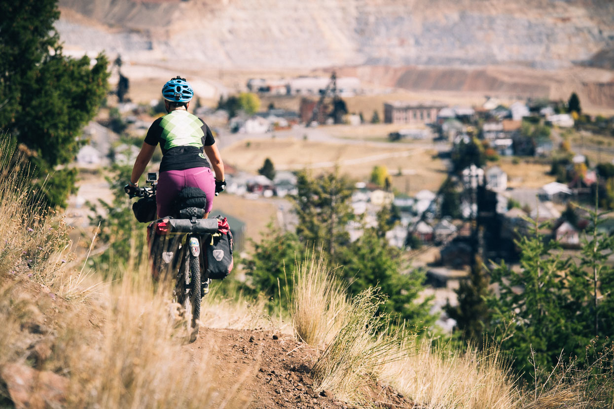
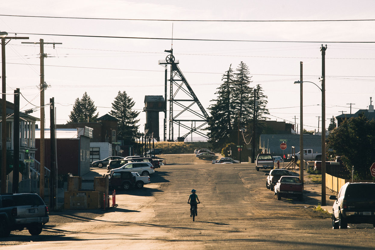
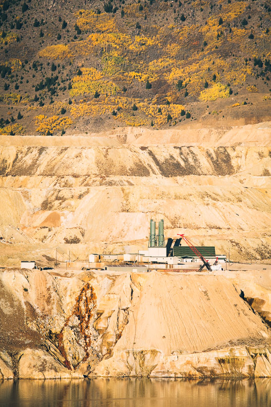
The GDMBR and the Tour Divide (race) route differ slightly coming into Butte. We liked the look of the latter, coming ingeniously as it does to a summit right on the edge of the city basin before dropping down a switchbacked singletrack almost to the heart of the city’s historic centre. Headframes, towering over the drill shafts of defunct copper mines dot the city – making perhaps the most unique cityscape I have ever seen. The biggest mine of them all, the Berkeley Pit scars the background.
It’s hot like a New Zealand summer in Butte. But anticipating the colder temps approaching we’d had our box with winter-weight sleeping bags, heavier down jackets and warmer socks sent to the post office here by our friend Jeff in Kamloops. In retrospect a perfectly timed move. We spend two nights in the KOA campground, just a stones throw from the noisy interstate, but the historic mining city piques our curiosity and we head out two afternoons in a row to explore a city that has a richer mining history than any other in the Rocky Mountain West. The city sits on the slope of a huge arc in the Continental Divide and over the years has been pierced by over 512 copper mining shafts (over 10,000 miles of tunnelling) which, combined with the Berkeley Pit, has produced over $51 billion of mineral wealth.

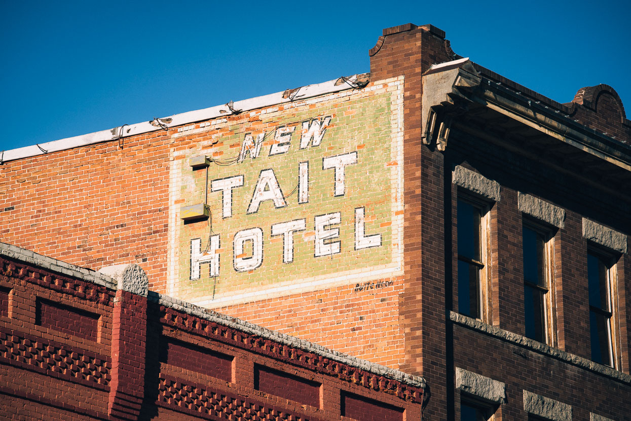
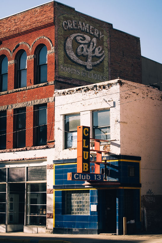
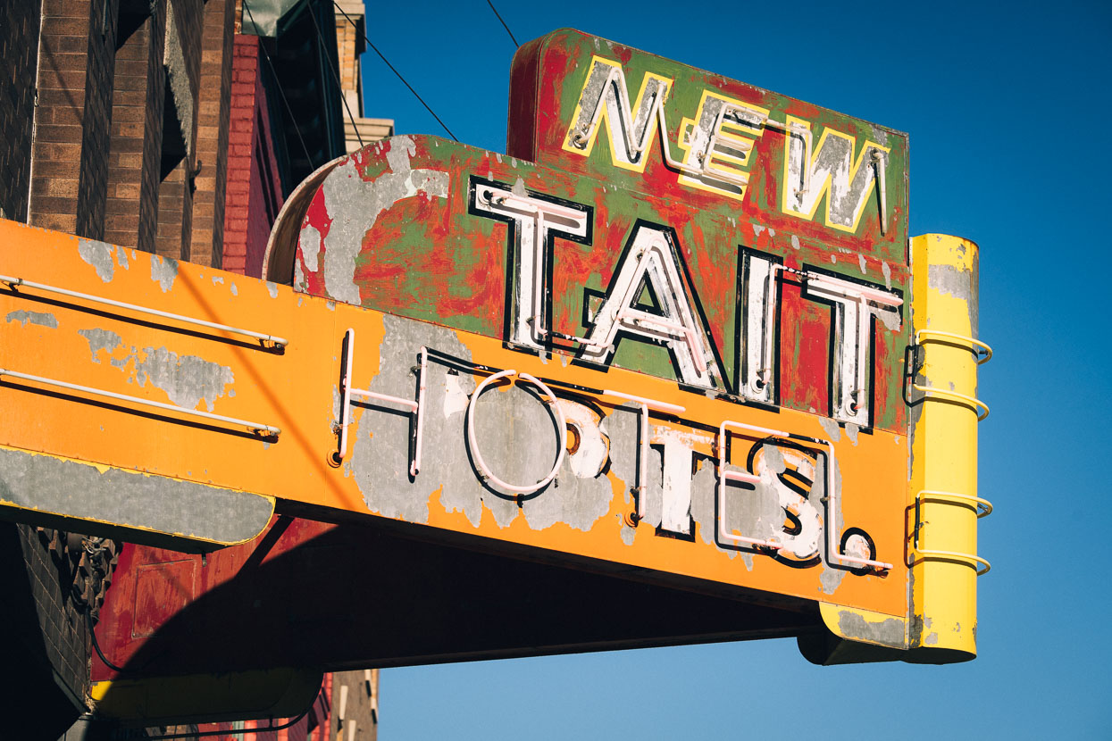
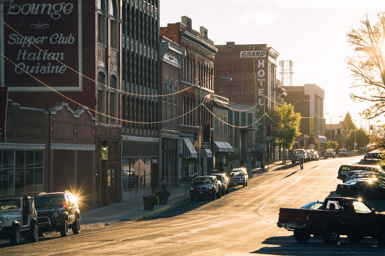
Butte feels like a great outdoor museum: and combines an unkempt, archaic feel with some local pride and a recognition that it’s a very unique place. Large brick buildings are the feature of uptown; once prestigious hotels and mining banks with crumbling facades and fading paint, and everywhere the headframes – now decorated with coloured lights at night to celebrate these distinctive structures as symbols of the city.
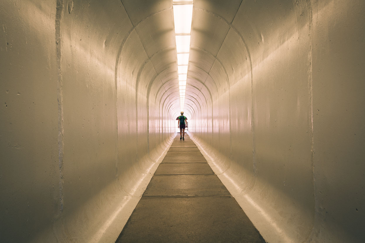
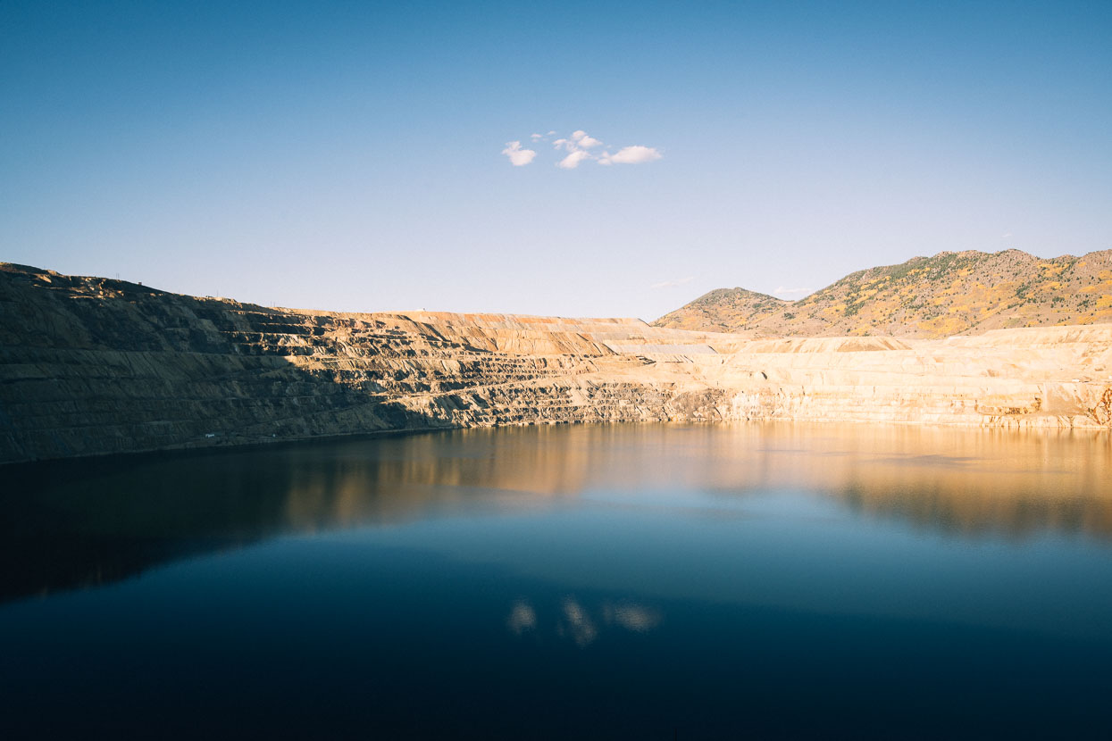
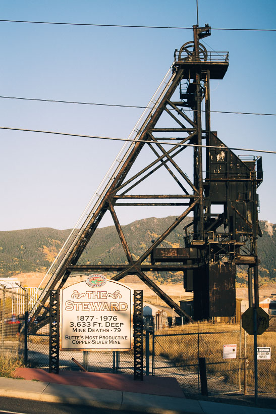
A few dollars gives us entry to a tunnel leading to a viewing platform for the Berkeley Pit (operational 1955 to 1982). Sadly this great open cast pit is now a toxic lake, so much so that birds are warned off it with sirens, after the tragic deaths of 342 migrating geese who had the misfortune of landing here. When mining shut down at the Berkeley pit in 1982, water pumps in nearby mines were also shut down, which resulted in highly acidic water laced with toxic heavy metals filling up the pit. Only two years later the pit was classified as a Superfund site and an environmental hazard site. Meanwhile, the acidic water continued to rise. It was not until the 1990s that serious efforts to clean up the Berkeley Pit began. During a mining history that has traversed the 19th and 20th centuries over 2300 people have died in mining accidents here (not including chronic illness), the most during the Speculator Mine Disaster in 1917, when a fire while the mine was at full wartime production killed 168 miners.
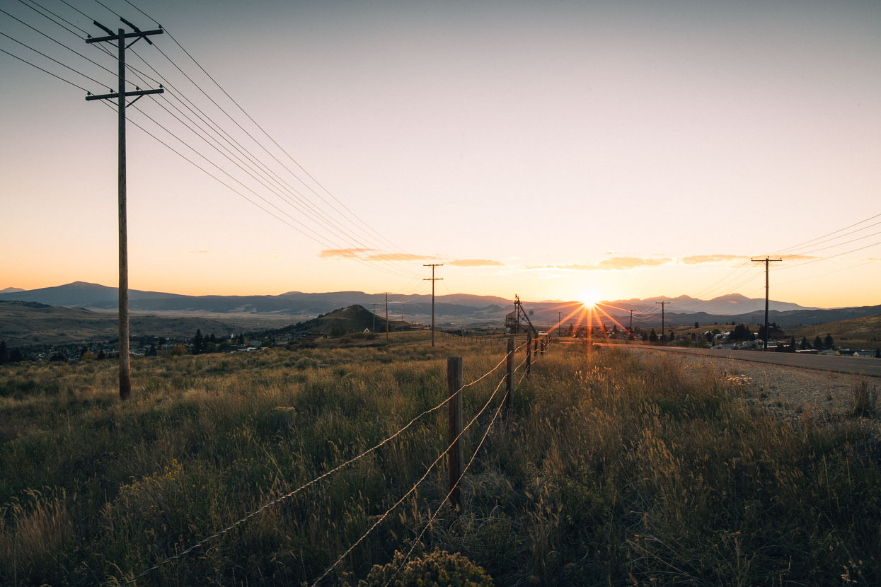
Evening in the hills above Butte.
Another range crossing and more beautiful riding in open alpine basins followed after Butte.
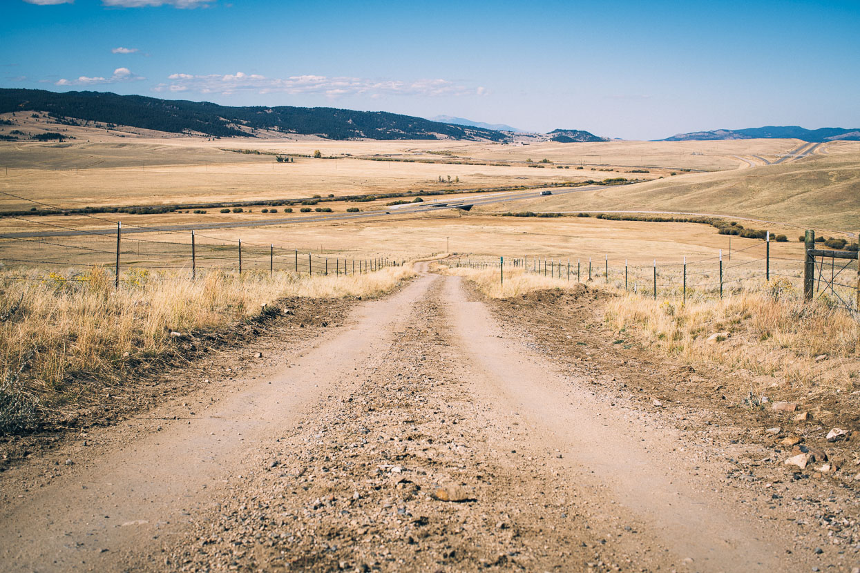
And then a long descent down to another highway crossing. The valleys becoming more and more arid.
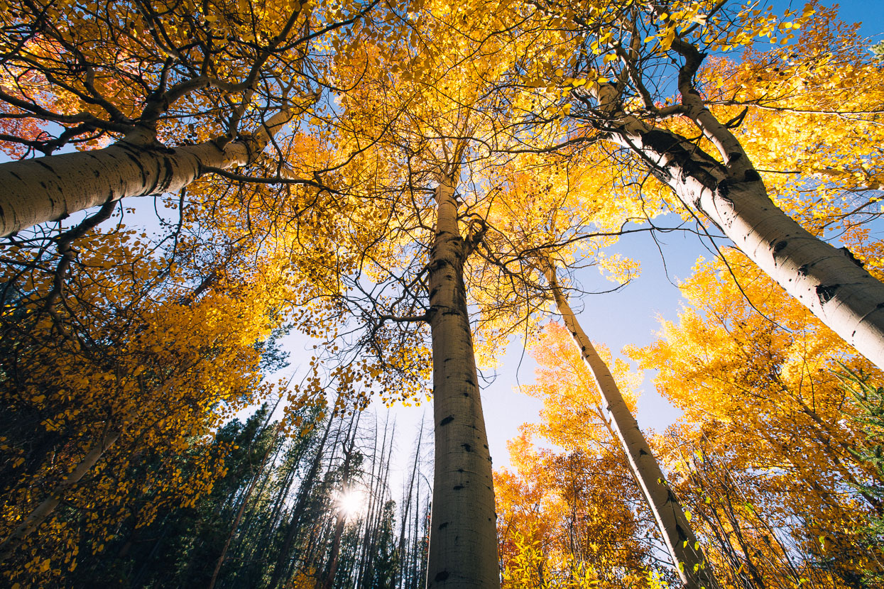
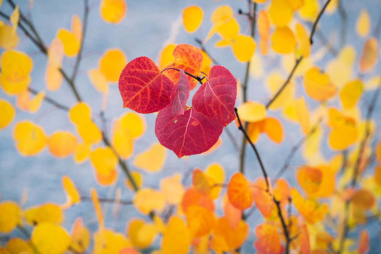
More National Forest reserves and beautiful aspen stands follow through to Wise River.
The notorious climb and descent of Fleecer Ridge followed in the morning. The prelude to the ridge was a pleasant climb up a winding valley road. Clearing the forest a short but steep climb follows double track before breaking right and dropping very steeply down a rutted track into a canyon. Despite the guidebook’s warning that it was unrideable with a touring load I did manage it – thanks to low tubeless tyre pressures and disc brakes – and a small dose of determination. Hana reckoned that walking down it probably wasn’t much easier!
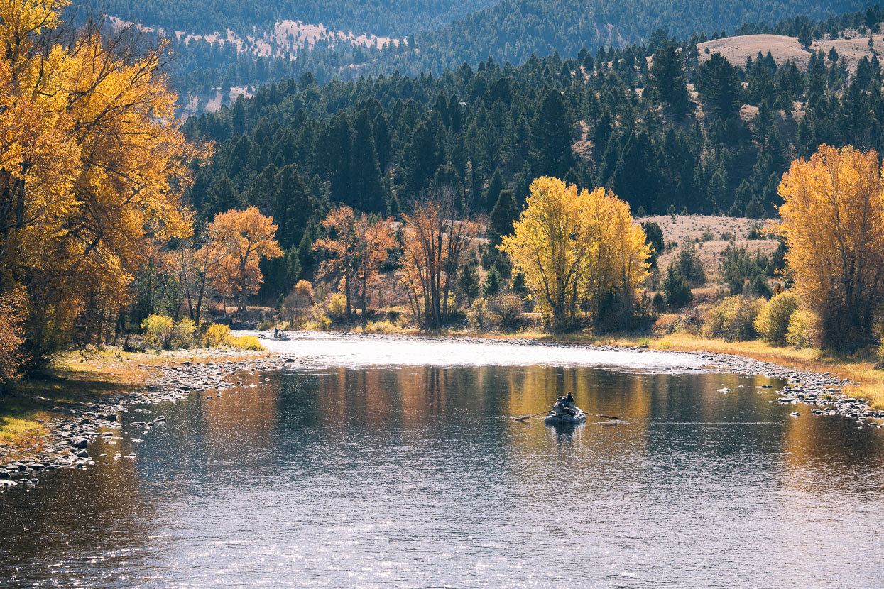
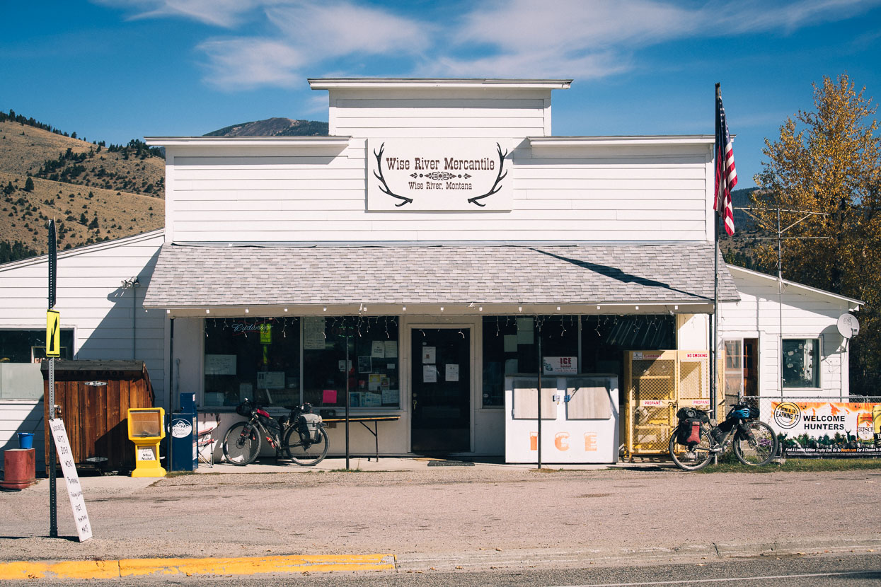
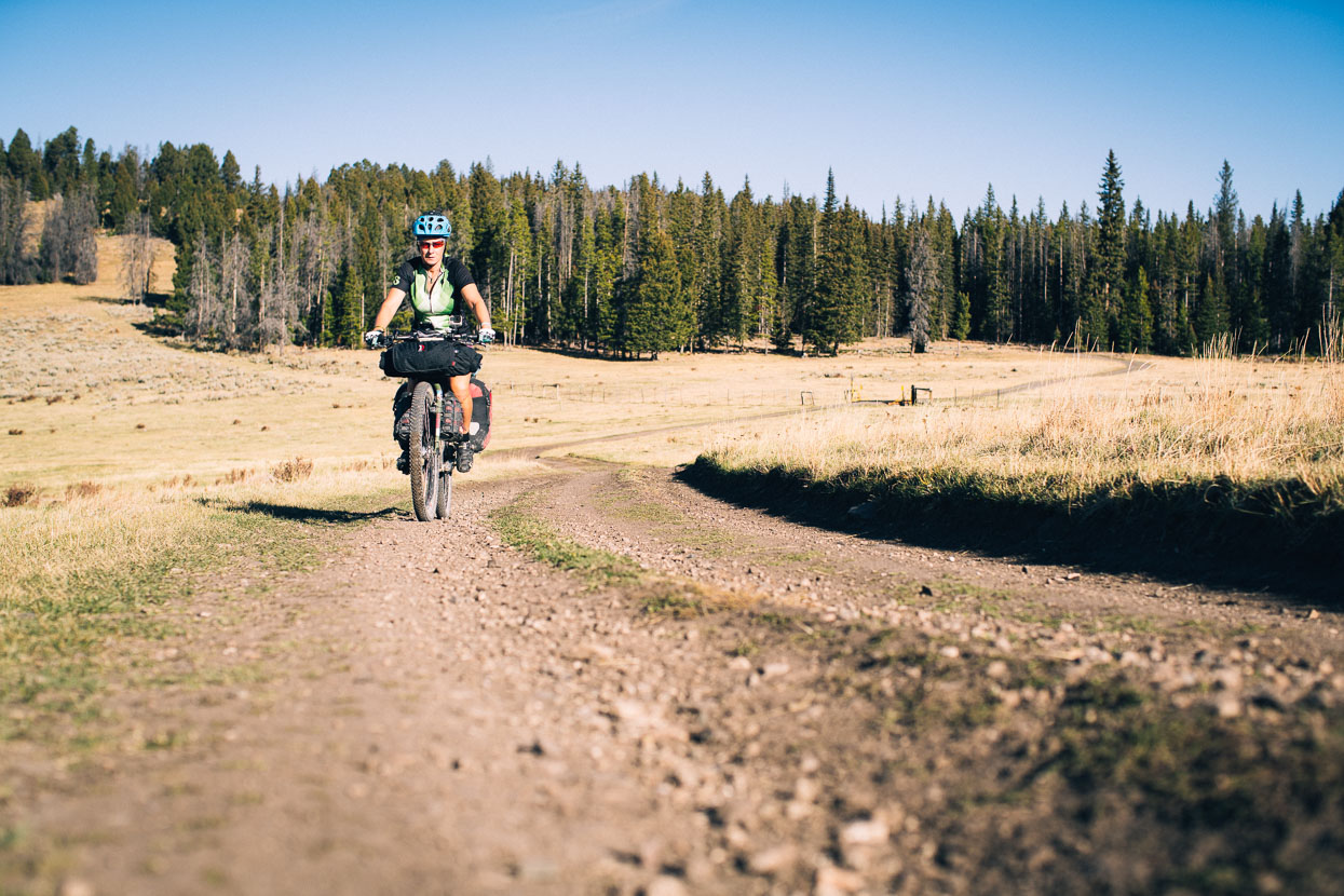
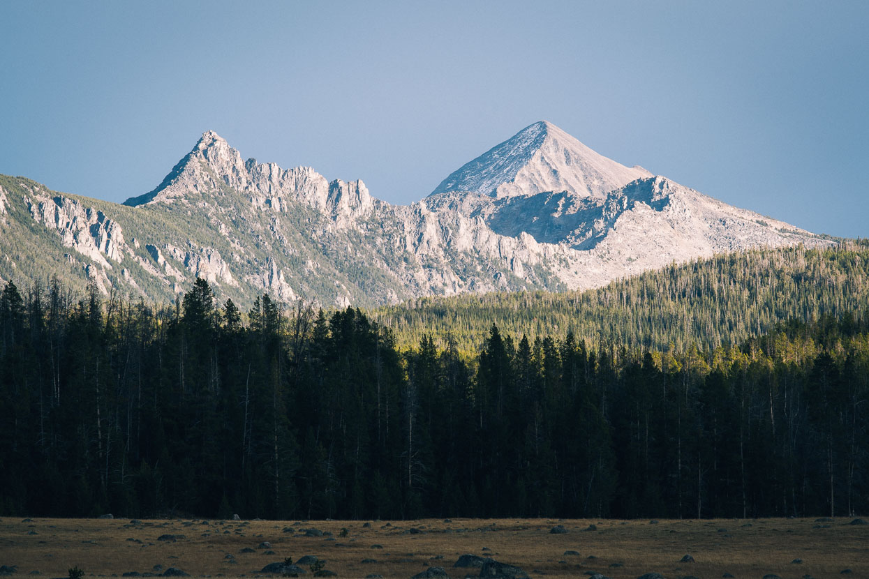
Wise River’s a popular fly fishing site and hunter’s stop with a couple of bar/restaurants and small grocery store. We stocked up on food for the next couple of days and carried on up the valley past some of the most impressive rock ranges we’d seen on the ride so far, the granite peaks of the East Pioneer Range.
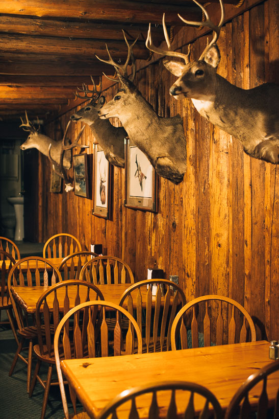
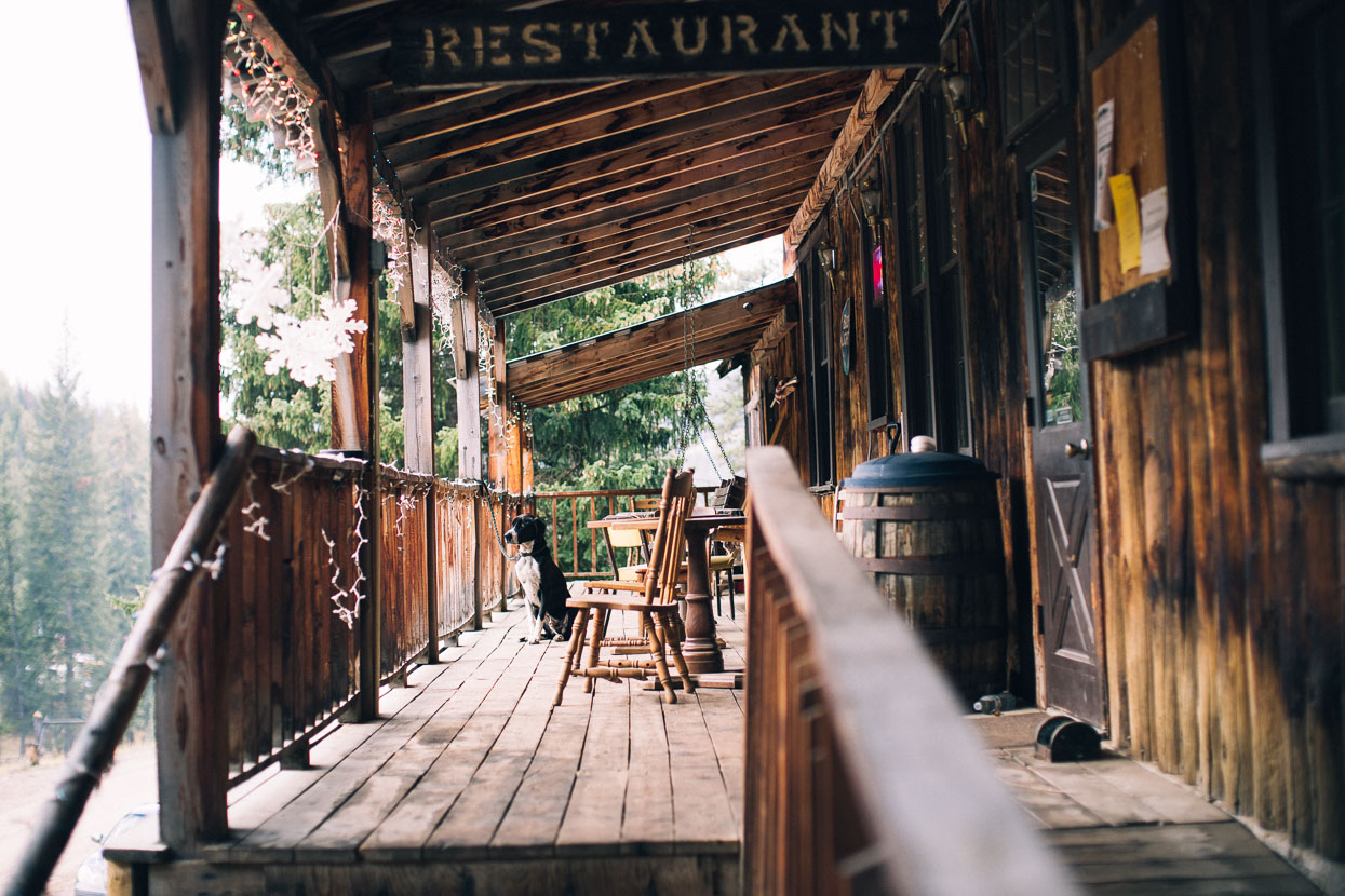
High in the mountain valley Elkhorn Lodge and hot pools called us: cheap, rustic accommodation, pub food and a steamy soak during a thunderstorm downpour made a great end to the day
Thanks to Biomaxa and Revelate Designs for supporting Alaska to Argentina.

