
The past four months have been something of a transitional time. I finished Te Araroa in early July, then spent eight weeks doing long days at the computer to get my Te Araroa book’s content ready for the publisher. Since the files all headed away for prepress at the printers I’ve been returning to a (slightly) more regular routine. It’s been great taking on some commercial shoots again, selling images and tinkering away with a future project.
Exercise fell by the wayside for a while, with both my achilles tendons chronically inflamed after walking 3000km but over the past two months I’ve started climbing and cycling again – both of which are working well to counter the effects of repetitive walking on my calves and tendons. It feels great to be slowly recovering. I’d just about forgotten how deeply satisfying the movement (and achievement) of climbing is and the fast motion of cycling was a novelty at first for a person used to walking speed. Even 10km/hour felt quick!
Hana will be making her own length of New Zealand traverse next year, but her mode of transport will be two wheels, as a participant in the inaugural Tour Aotearoa brevet taking place in February/March 2016.
Consequently cycling has been quite a high priority and I’ve been really enjoying joining Hana for long rides on Banks Peninsula and about the Port Hills as she gets her base miles in. In a moment of possible insanity we have both signed up for the legendary, if not esoteric, Le Petit Brevet – an annual event held on Banks Peninsula that involves riding an Everest worth of climbing and 300km in under 36 hours. I haven’t tried such an event before so I’m looking (masochistically) forward to seeing how the mind and body react to this challenge.
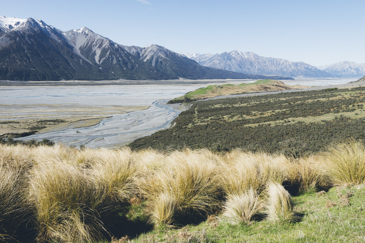
Walking the Canterbury High Country section of Te Araroa revealed to me a chunk of country that has been off my radar for a long time: the Lake Heron Basin and the Hakatere Conservation Area. It’s a region that has seen significant changes under tenure review, with some big swathes of ex-high country station land now in the conservation estate along with a plethora of old musterer’s huts. Te Araroa visits a few of these, and inspired by what I’d seen on the trail, we decided to head in there at Labour Weekend for an explore by bicycle. The following photos describe a full loop (with detours) of the ranges bordered by State Highway 77; the Rakaia Valley; Lake Heron Basin; and the Ashburton Gorge. There’s a map at the end of the photos.
It also made a great opportunity to test drive my new Sony A7II mirrorless camera – a more compact option than my usual Canon 5DMkII, that has some great benefits due to the mirrorless electronic viewfinder and a much bigger dynamic range. I’m using it with my Canon lenses via a Metabones adapter.
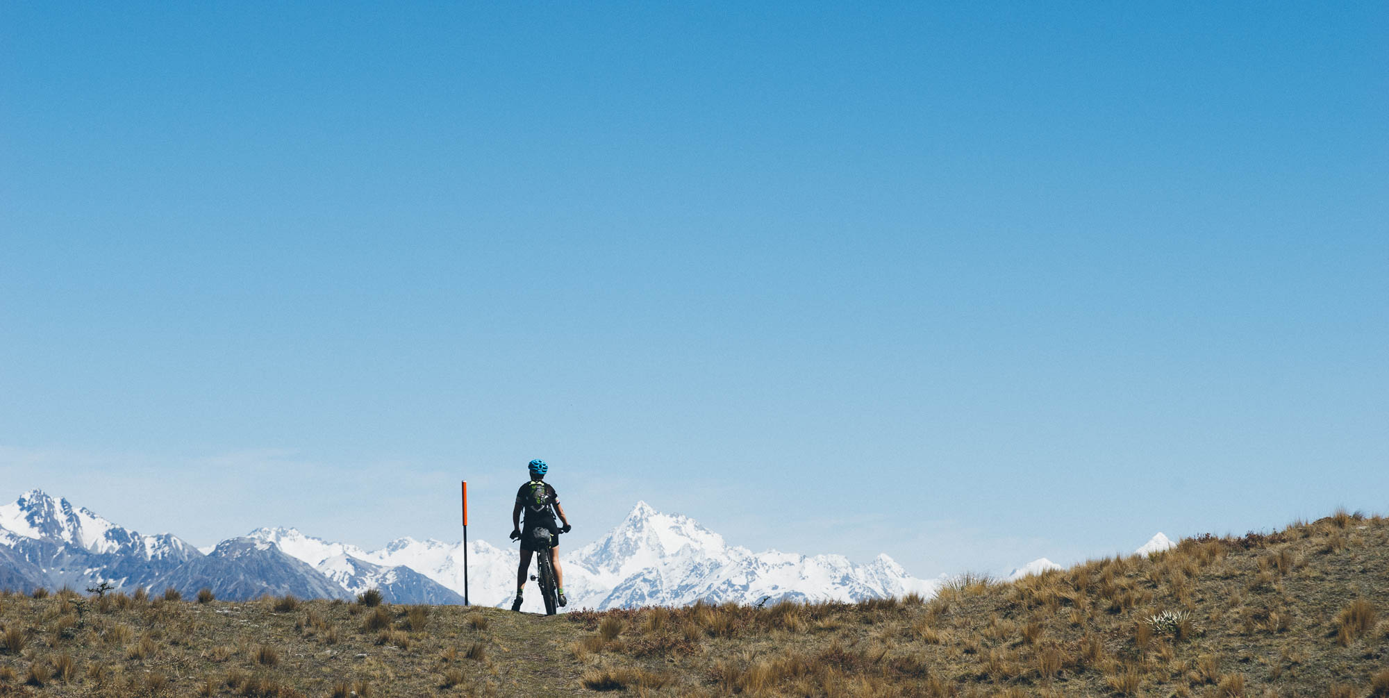
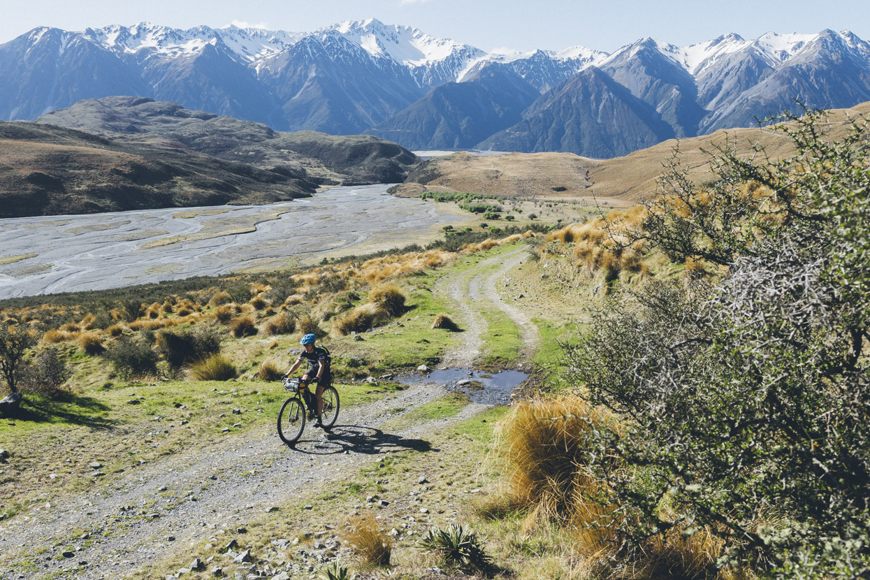
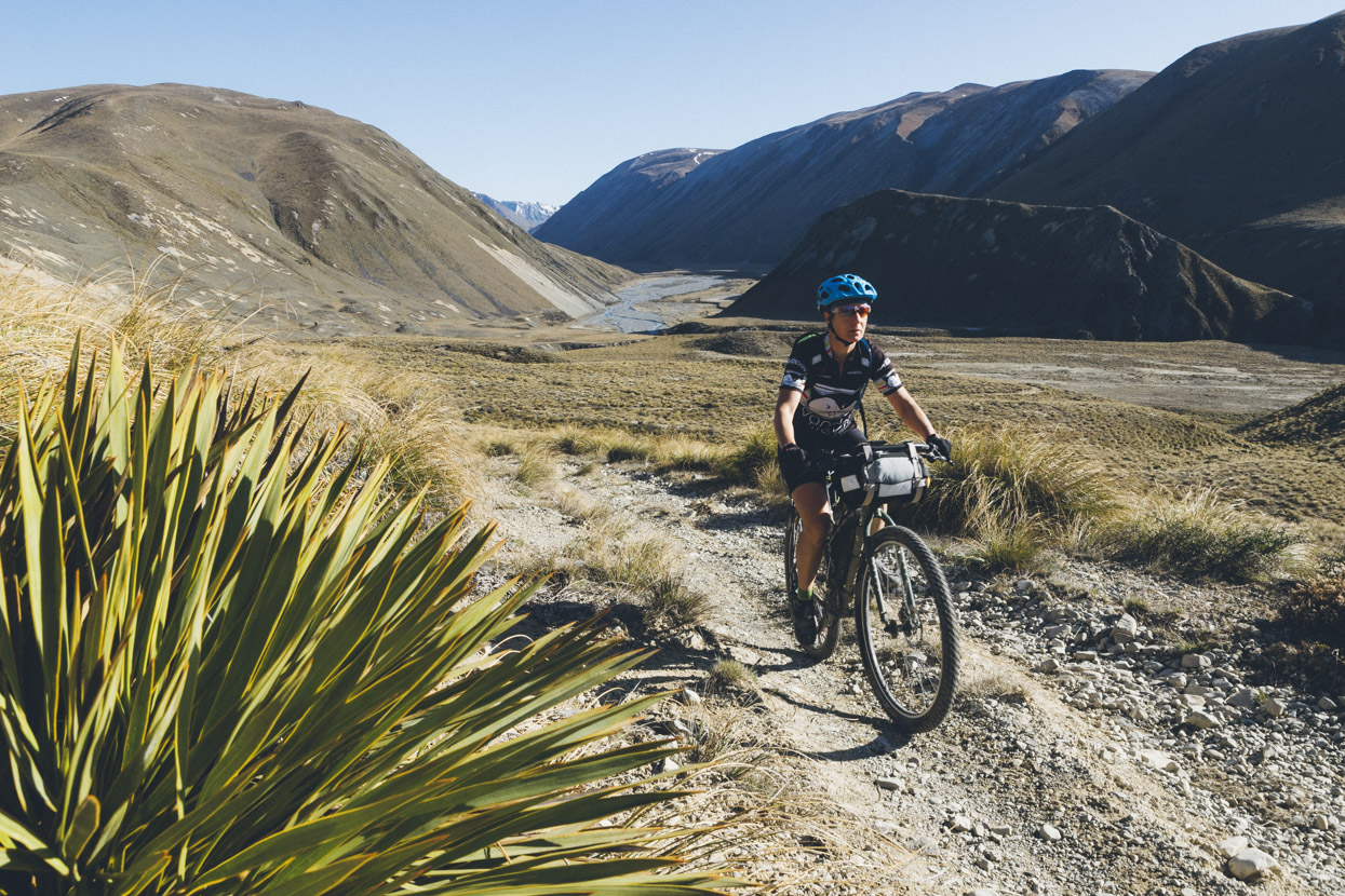
Day 1, heading up the massive Rakaia Valley. It was a 51km ride from where we left the car at Mt Hutt Station, to Glenfalloch; where the road ends and turns into 4WD for the rest of the route into the Lake Heron Basin via Lake Stream.
So many high country stations along this road.
A few kilometres past Glenfalloch the 4WD crosses a huge gravel fan and then climbs to 750m before gently undulating through to the south side of Lake Heron. Rakaia Valley in background.
Leaving behind the Rakaia as we enter Lake Stream. Note the roche moutonnee – a grass covered hump of bedrock that resisted the giant glacier that once sat in this valley.
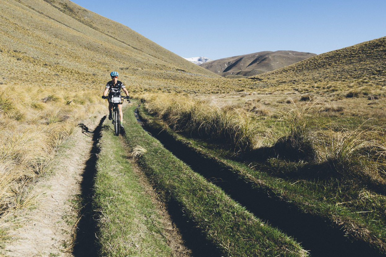
Climbing alongside Lake Stream.
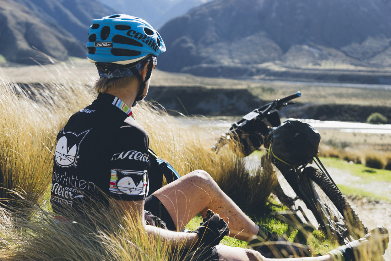
Chillling in the tussocks.
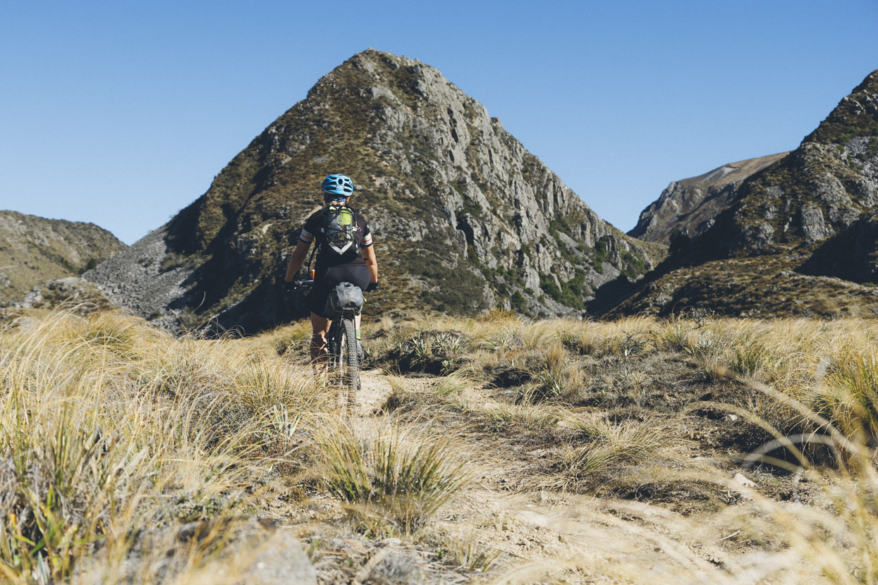
The south end of the Lake Stream valley where it opens into the north end of Lake Heron Basin. Mount Catherine at left.
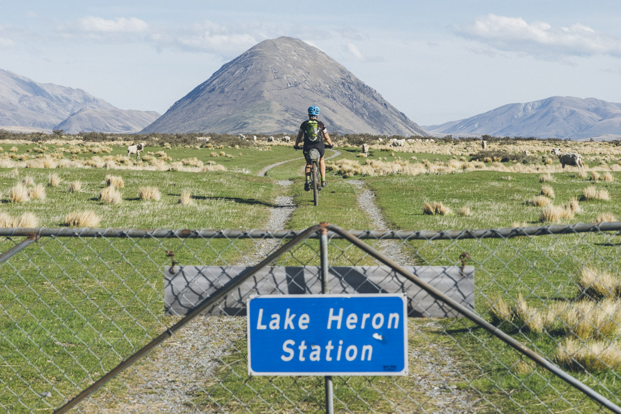
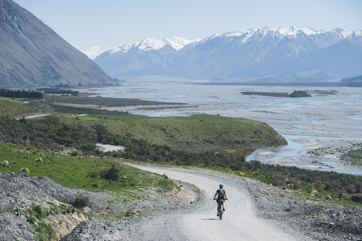
Leaving Glenfalloch Station and entering Lake Heron Station. Another remnant of the last ice age; the Sugarloaf, fills the view as we ride towards Lake Heron.
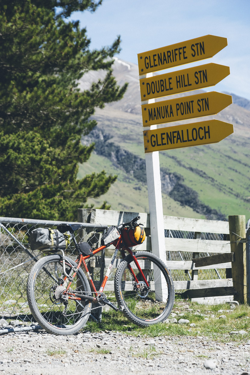
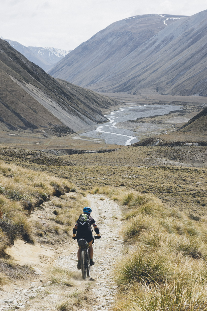
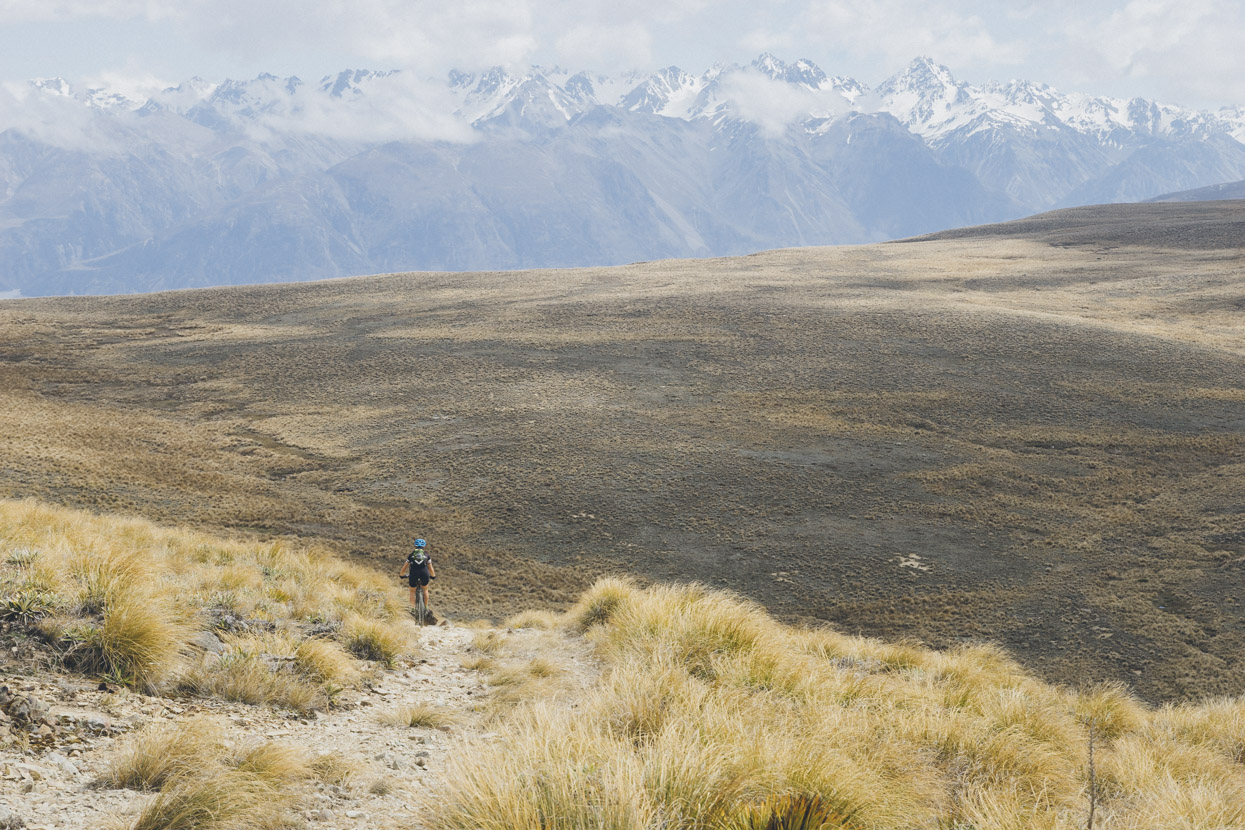
It’s gravel road for a few kilometres past the Lake and then this short access track leading to 4WD and bumpy single track that crosses the basin to meet the Te Araroa Trail near Double Hut. Taylor Range in the background.
Near the junction with the Te Araroa Trail. Clent Hills Saddle route is off to the left and Double Hut to the right. Mount Taylor behind and to the right.
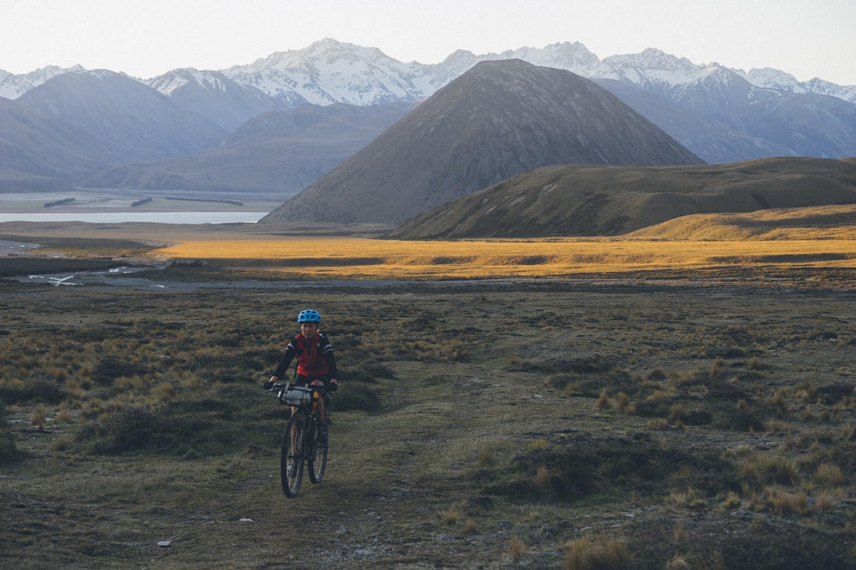
The day draws to a close as we climb an ancient grass covered gravel fan up to Double Hut. Lake Heron, the Sugarloaf and Arrowsmith Range in the background.
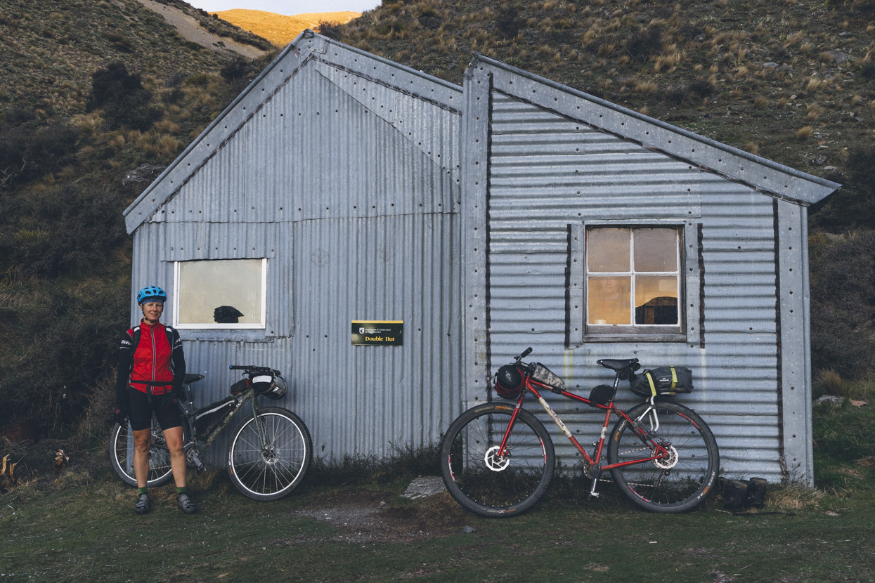
I’d arrived at and departed from this hut in the dark back in late May during my Te Araroa walk so it was great to see this classic building in the daylight. Unfortunately the bunks were full, so we pushed on another 5km to Manuka Hut, an easy ride further south along the TA trail.
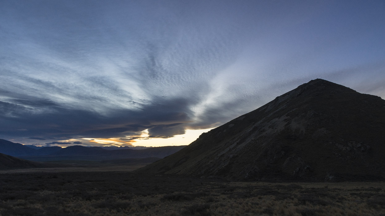 The remnants of sunset peeking from behind the Longman Range.
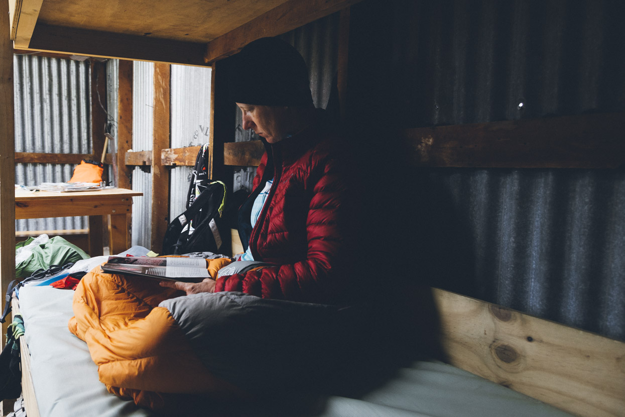
 Manuka Hut’s another classic musterer’s hut full of character. Hana’s bike is a Surly Ogre with a few swapped out parts, including a super comfortable Jones H-Bar.
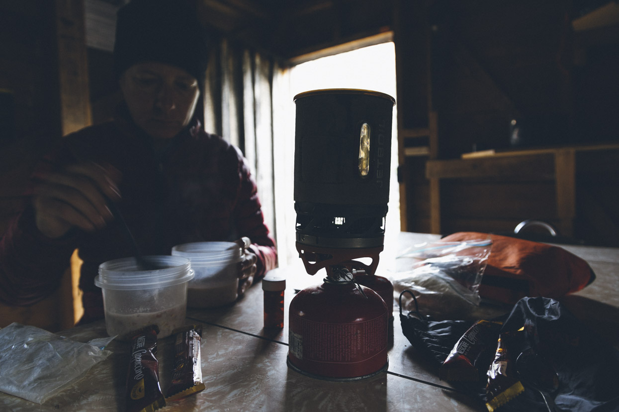
Breakfast at Manuka Hut.
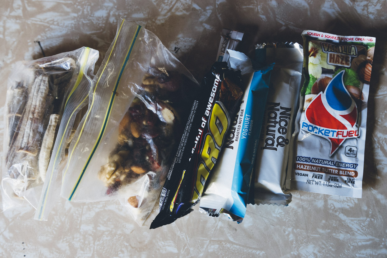
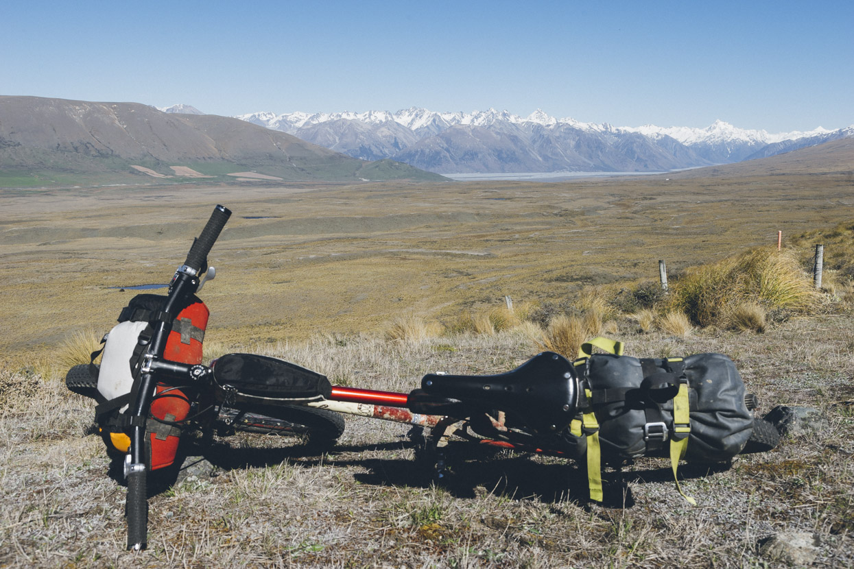
Rations for the day (minus the cheese and cracker lunch).
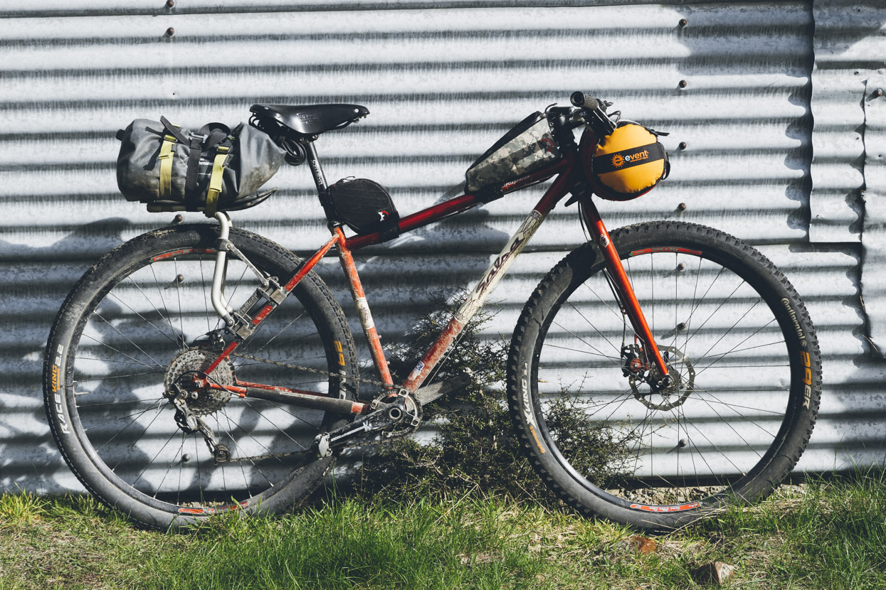
My ride for the weekend – Salsa El Mariachi with a 1 x 10 drivetrain, mechanical disc brakes and 29in wheels which are perfect for this sort of bike packing trip.
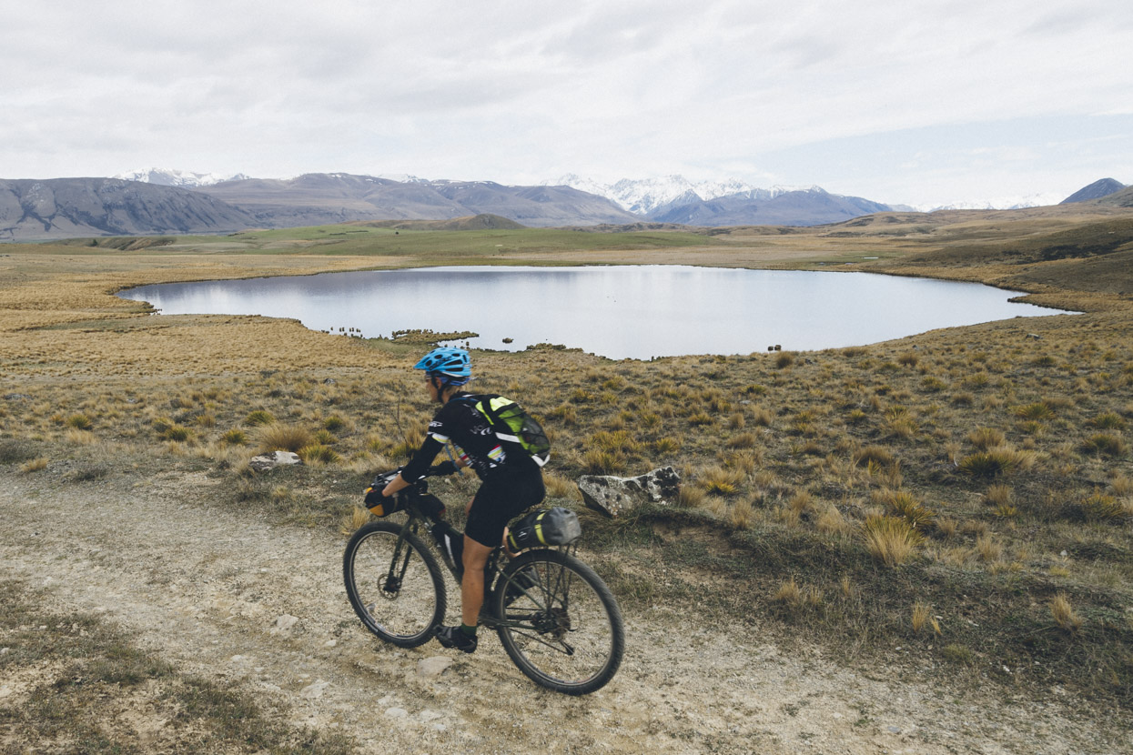
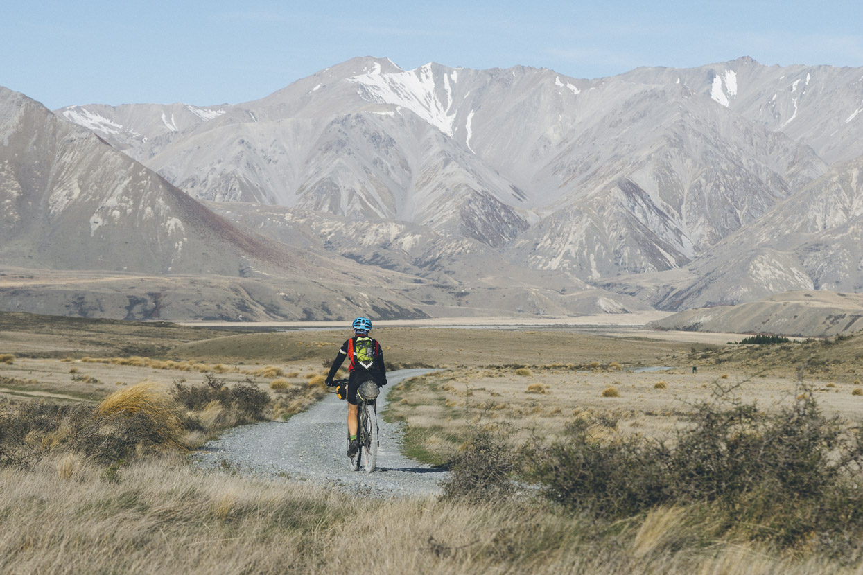
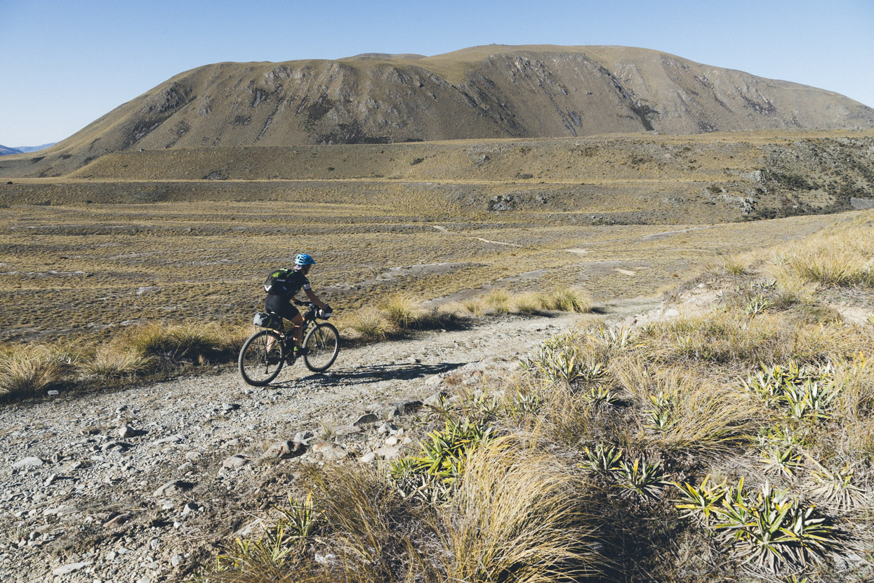
Cruising past Lake Emily morning of Day 2 with Arrowsmith Range in background.
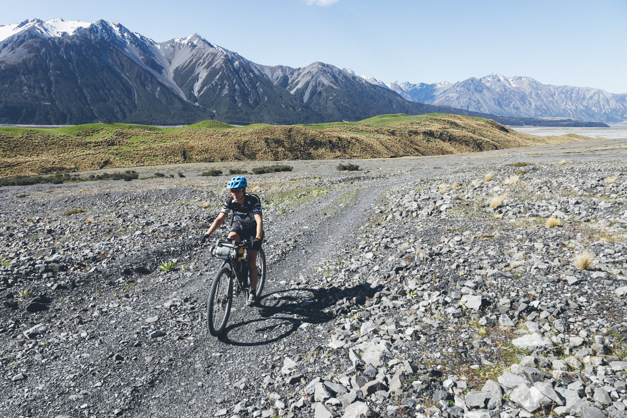
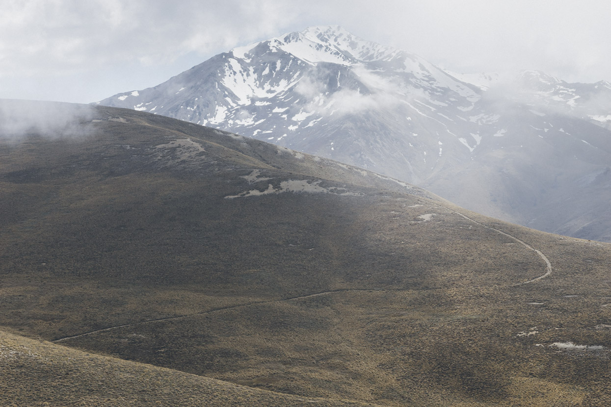
Our route headed out to Hakatere Heron Road and then picked up the Te Araroa trail again towards Mount Guy, but we turned off after a few kilometres and headed up to Boundary Hut. This is the route in via Paddle Creek.
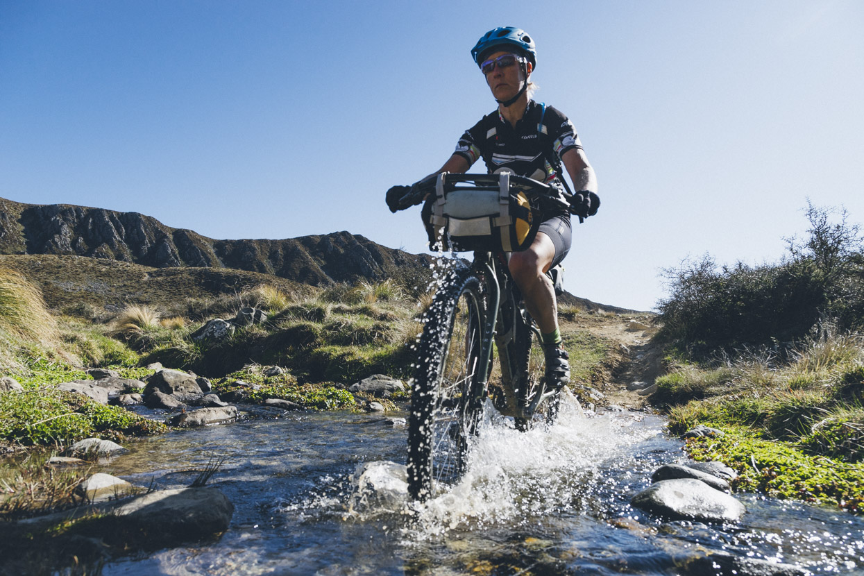
Dropping down to Boundary Creek and the South Branch of the Ashburton River after some cruisy 4WD riding up the valley.
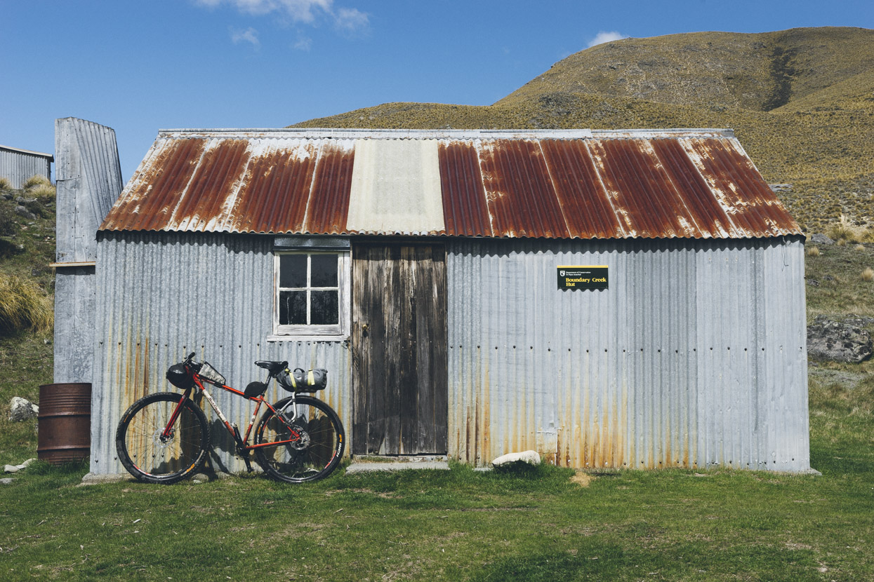
Accommodation for the night. We dropped our gear at the hut and spent the rest of the afternoon attempting to get to Potts Hut.
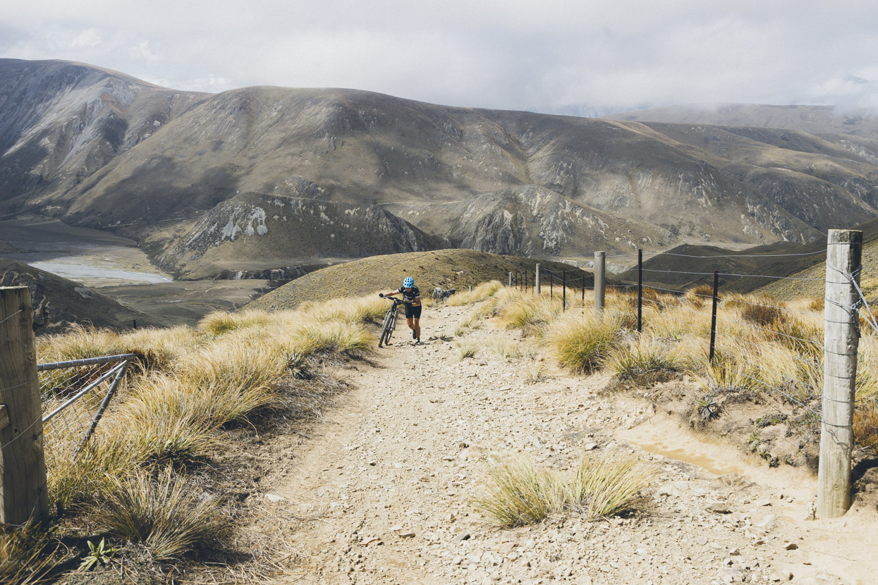
It’s a 600m climb right off the bat up onto the range but unfortunately most of isn’t ridable. Maybe with fresher legs or more generous gears…
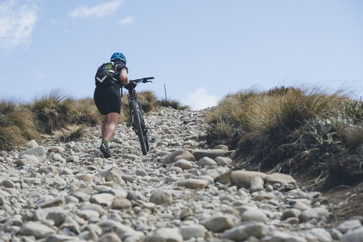
But some of the surface just doesn’t make great hill climbing, so we did a lot of pushing.
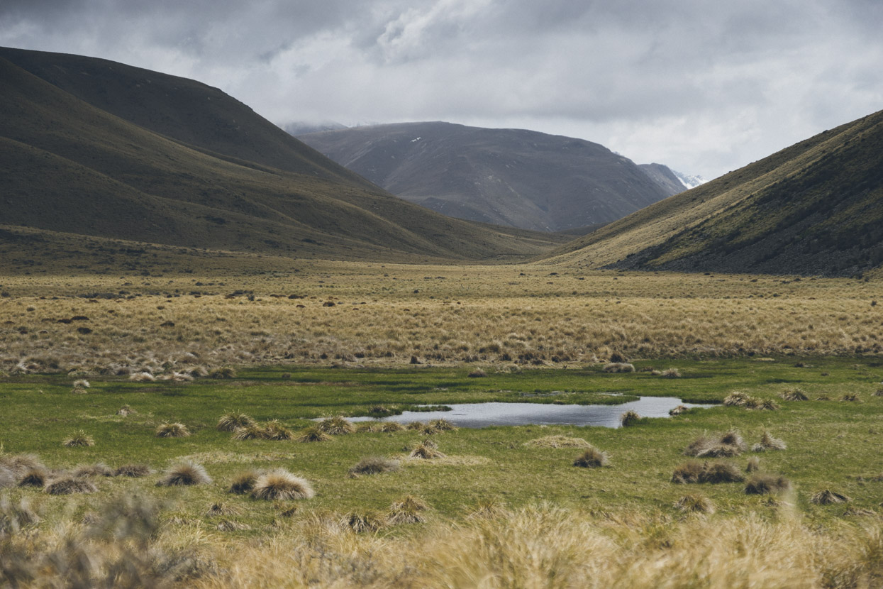
Then a bit of a drop to the Mystery Lake junction.
and up again… also mostly unridable due to a very loose frost heaved surface and/or large rocks.
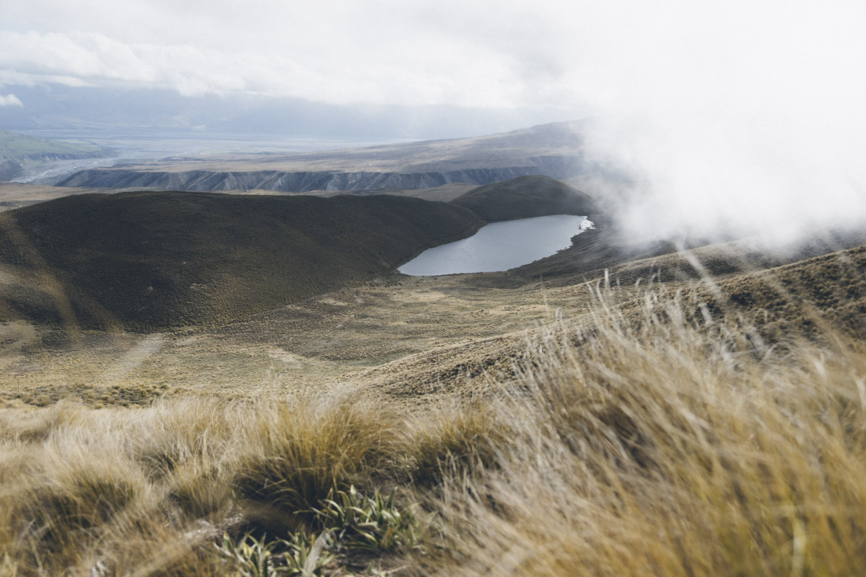
Mystery Lake with the Potts River cleft visible in background.
We made it halfway to the hut and then headed back the way we came, the route 90% ridable on the return – this was a great section!
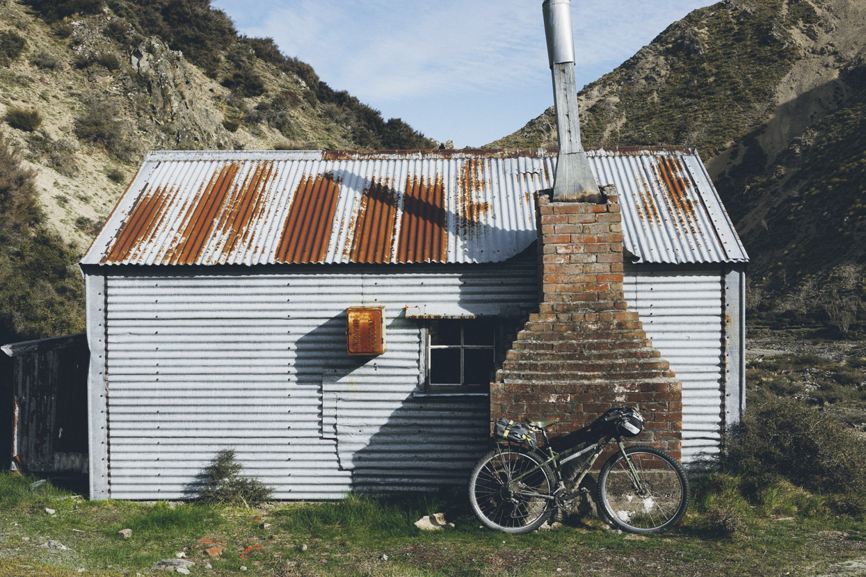
Chilling at Boundary Creek Hut.
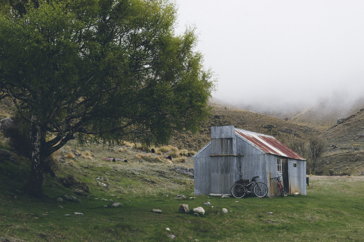
Boundary Creek Hut.
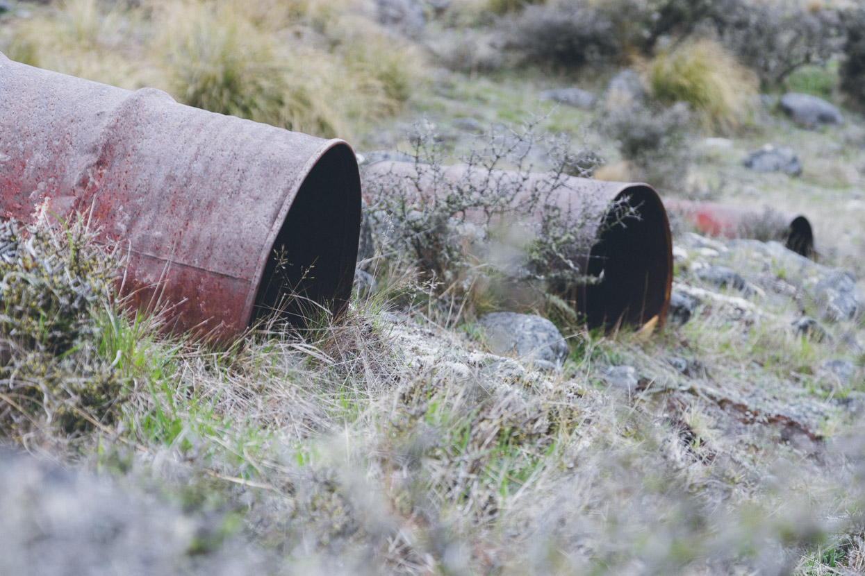
There were loads of old dog kennels scattered about the hut. They must have had huge mustering teams here back in the day.
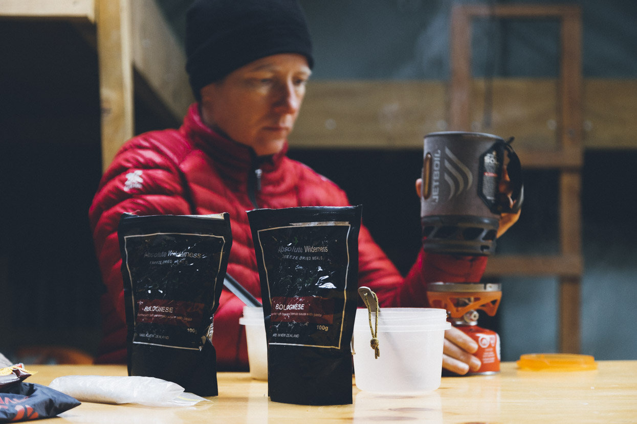
Tucking into some Te Araroa leftovers, courtesy of Absolute Wilderness. Best freeze-dri out there!
Heading back out from Boundary Hut on the morning of Day 3.
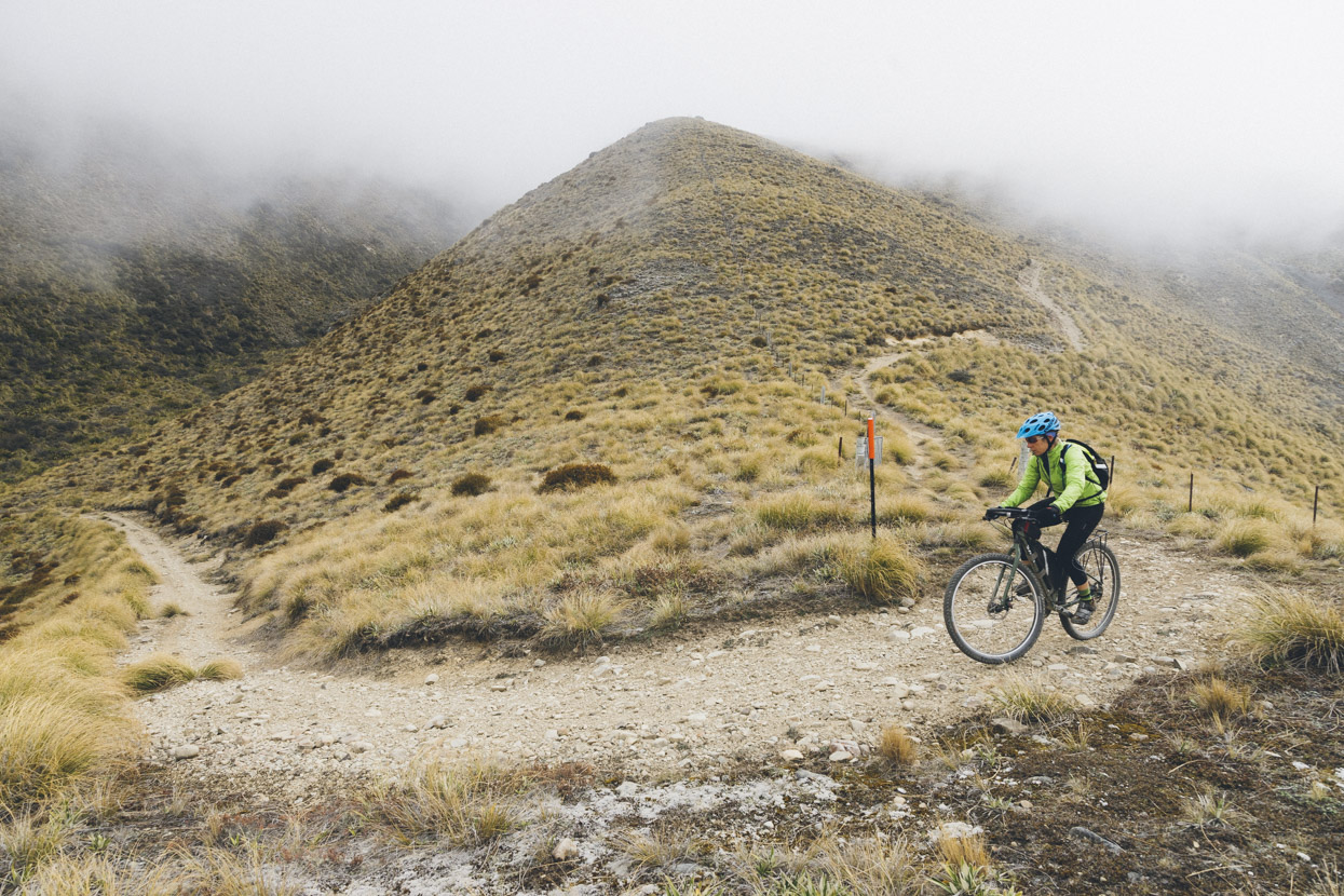
We headed back to the Te Araroa trail junction and then took a right towards the Mt Guy saddle overlooking Lake Clearwater and the Rangitata.
Heading towards Mount Guy.
Back on the TA Trail.
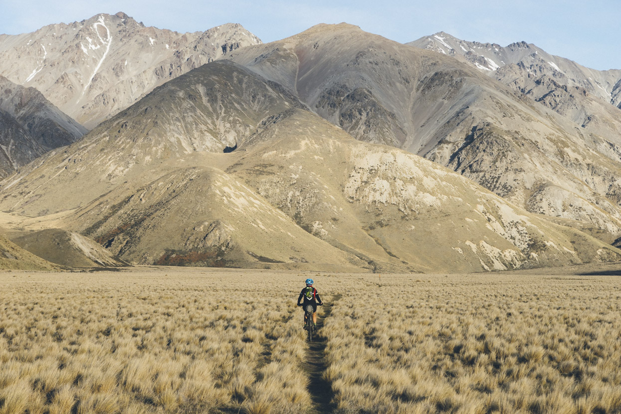
Some nice craggy outcrops passing Mt Guy.
Looking out towards Mounts Sibbald and D’Archiac on the far side of the Rangitata.
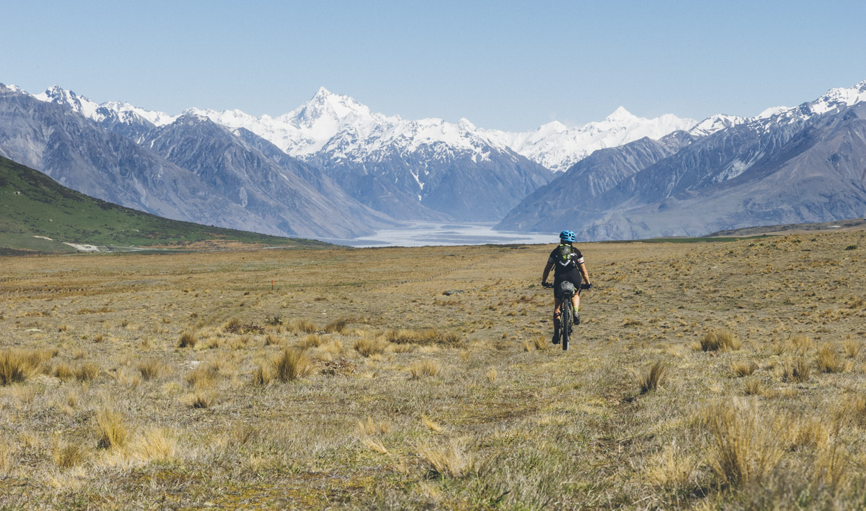
Following the Te Araroa Trail again towards the Potts and Rangitata Rivers. Mt D’Archiac dominates the view.
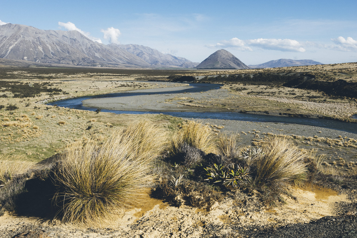
From the Potts River we took to the gravel road and headed to Lake Clearwater township, then onwards to Hakatere, the Ashburton Gorge, Mt Somers township, Staveley and Mt Hutt Station.
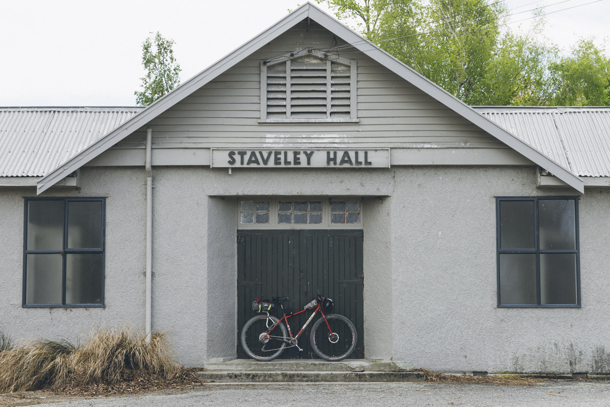
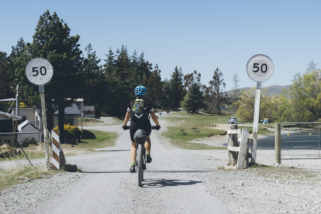
The relative civilisation of Staveley. Unfortunately the shop was shut. Just 22km left to the car…
Details
Day 1: 102.7km;
Day 2: 45.7km;
Day 3: 96.4km
The Department of Conservation have a great PDF brochure on the Hakatere Conservation Park.
Note that to ride between Glenfalloch and Lake Heron Stations via Lake Stream, permission is required from the station owners. Look em up via Google.


What a Splendid place Hakatere is, a few weeks ago I took a similar route to yours: started at Stour river access point up to Manuka hut then onto Double hut, empty at the time (Matagauri burns too quickly though). After heading south on the Heron road u also went up to Boundary hut but in the way a local cyclists suggested continuing along the 4WD track past the hut and it heads to Wild man hut just below Arrowsmith, Wow! There’s a little more to explore in Hakatere and I’d like to go back there. When I contacted Heron station they said they’d charge me $10 to ride through from the northern road end so I changed my plans. Great photos by the way.
Thanks Daniel – what was the riding to Wild Man Hut like?
Cool trip & photos – love the landscapes, so different to the UK!
cheers Ryan – you’d love it there.
Looks like a nice wee ride around a very beautiful part of the world.
Yep indeed Ben – not too different looking to the hills around Kamloops in some ways either!
Some good memories from there https://www.flickr.com/photos/cragrat/8173927703/in/album-72157631978699930/
Continuing from Boundary over to Wildman is on Arrowsmith Stn and probably requires permission. However, after crossing the Ashburton it’s a great ride up to Top Hut with one rubble section on the hillside. Arrowsmith stn used to have a race around their property but the ride between the homestead and Wildman via the tops on that route is spectacular – without being in a race.
Thanks for the info Neil!
How did you get permission for Glen Falloch station. Had no luck ringing them and have heard they are not allowing people access…
Oh that’s a shame. I can’t help sorry, not in NZ, and it was a few years back now that we did that ride. Try asking on one of the MTB forums or the NZ bikepacking Facebook group.