
| Onto The Mainland |
This post covers part two of our relocation journey from Tauranga to Christchurch, which we rode back in October & November last year. The last post covered Tauranga to Wellington, while this one covers Picton to Christchurch. By the time we made this journey we’d already been confirmed as starters for the inaugural Tour Te Waipounamu bikepacking ultra race, to be held in February 2021. So we viewed the ride not just as perfect base miles, but also as an opportunity, now that we were in the South Island, to recce a little of the course.
As with the North Island, we actually set off following some of the Tour Aotearoa route, but after Nelson diverted west over Takaka Hill to Golden Bay. From there we rode the Barron Flat – Flora Saddle route in Kahurangi National Park, as this route was intended to feature in TTW (later removed). People normally ride this one in the other direction so that gravity assists for the technical beech forest singletrack and hike-a-bike sections. After that we followed much of the TTW course as far as Lake Sumner, where it then enters private property, access for which was negotiated especially for the race.
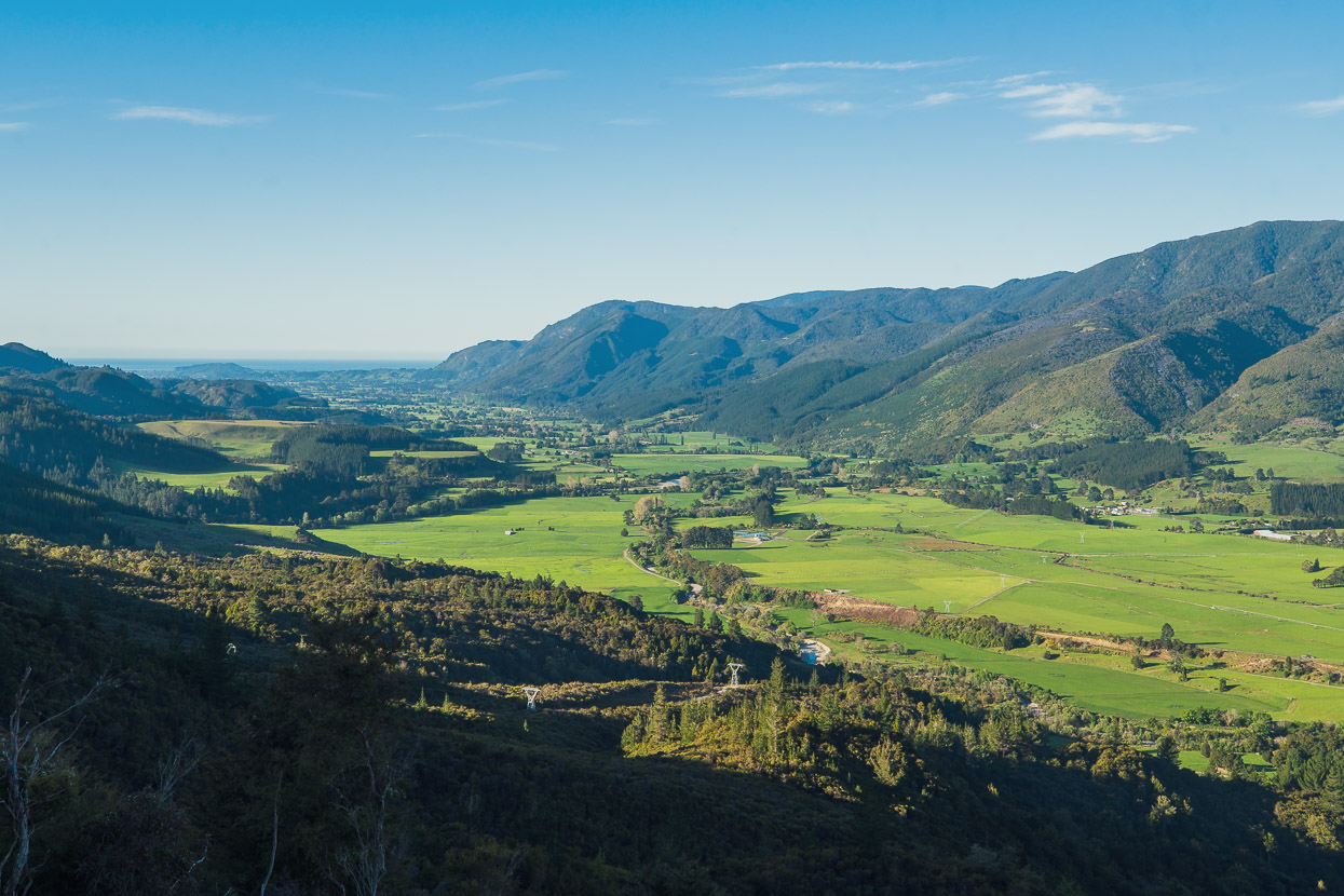
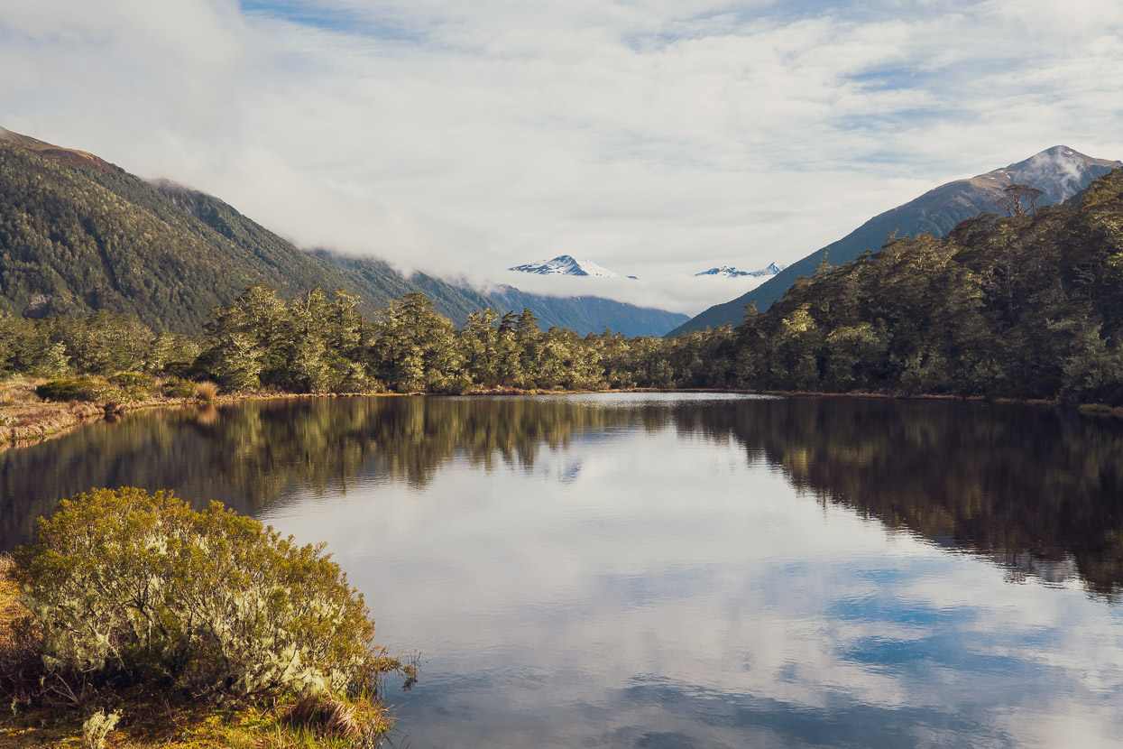
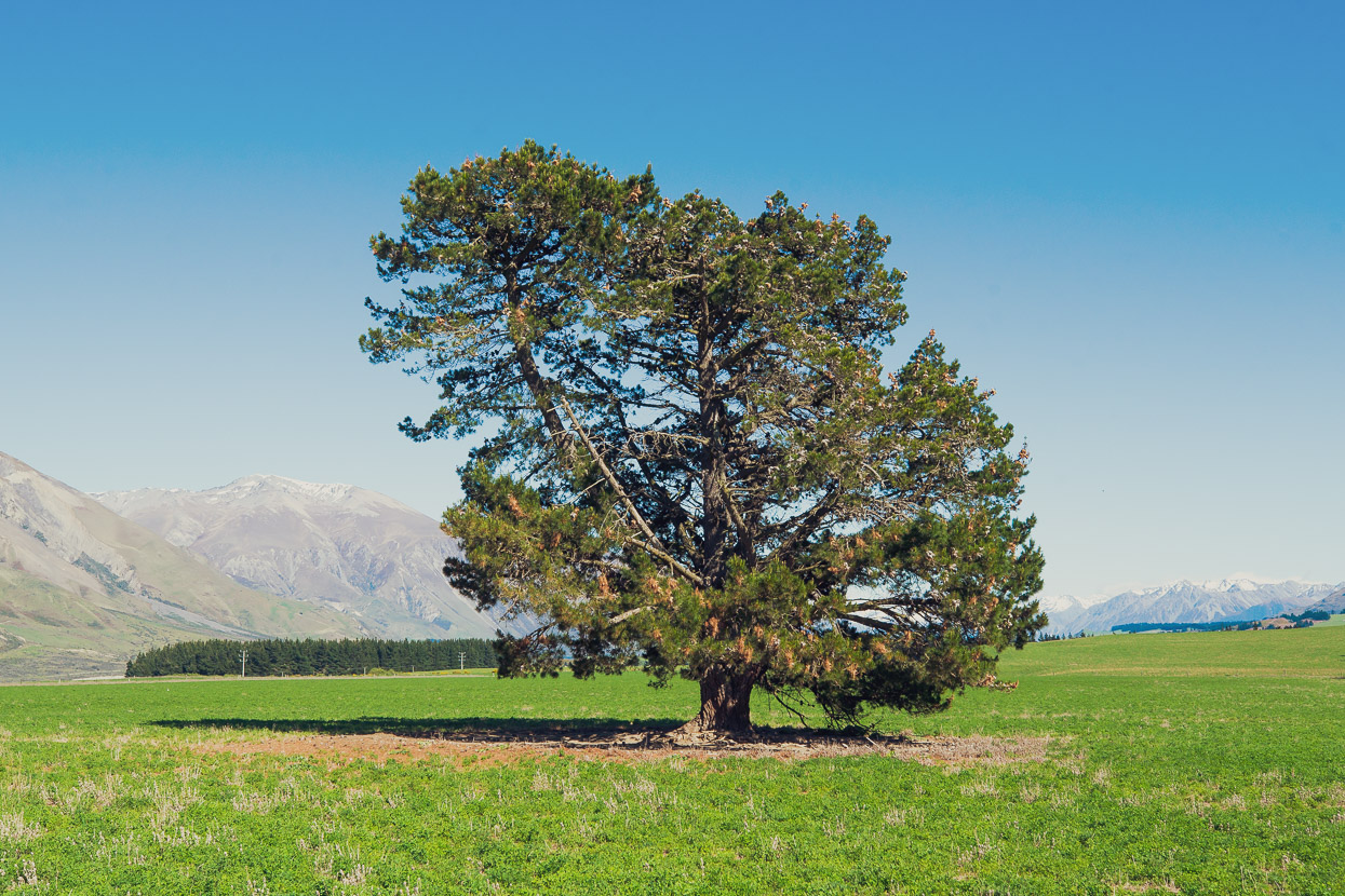
Born and bred South Islanders like to joke that the southern island – Te Waipounamu – of New Zealand is the ‘Mainland’, and even though Hana and I were both raised in the North Island, we do think of the south as being home these days, having been based there for over 20 years now. But in some ways I think of it as the Mainland too. The North Island has our capital city, some special charms and beautiful locations, such as the Central North Island and Taranaki volcanic regions (yes, I’m a mountain person first and foremost!), some excellent tramping in its ranges, and some amazing coastline and culture. But the South Island turns up the volume when it comes to landscapes: they’re bigger, more raw and hugely varied; with such diversity as the untamed West Coast, the ice capped Southern Alps and the montane basins and plains of the east. Add in a very low population density and fewer roads and you have a place that’s pretty much a big adventure playground.
It didn’t take us long to remember why we love the South Island so much, when it’s so easy to get among some big and adventurous landscapes, with so few people around.
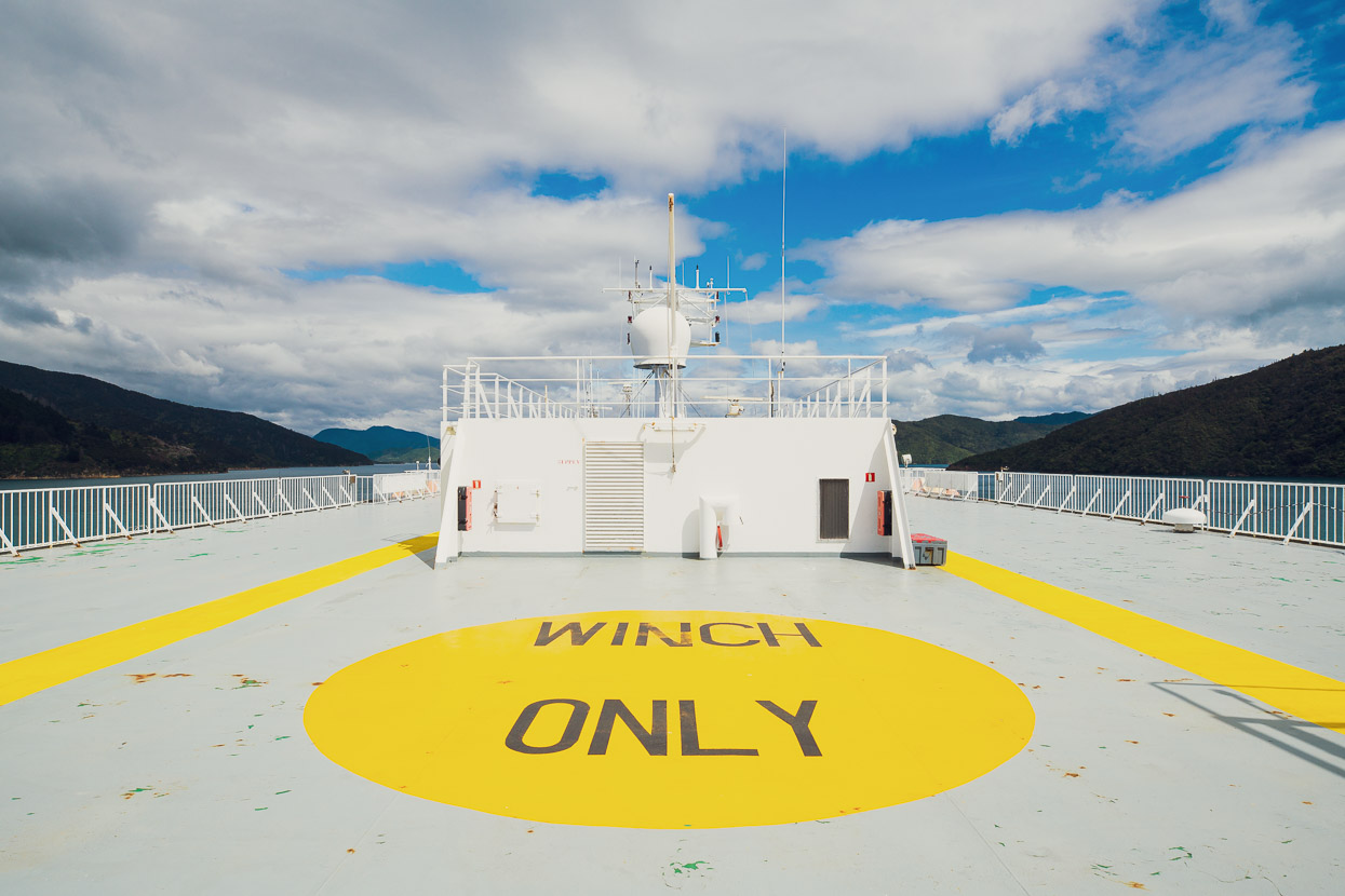
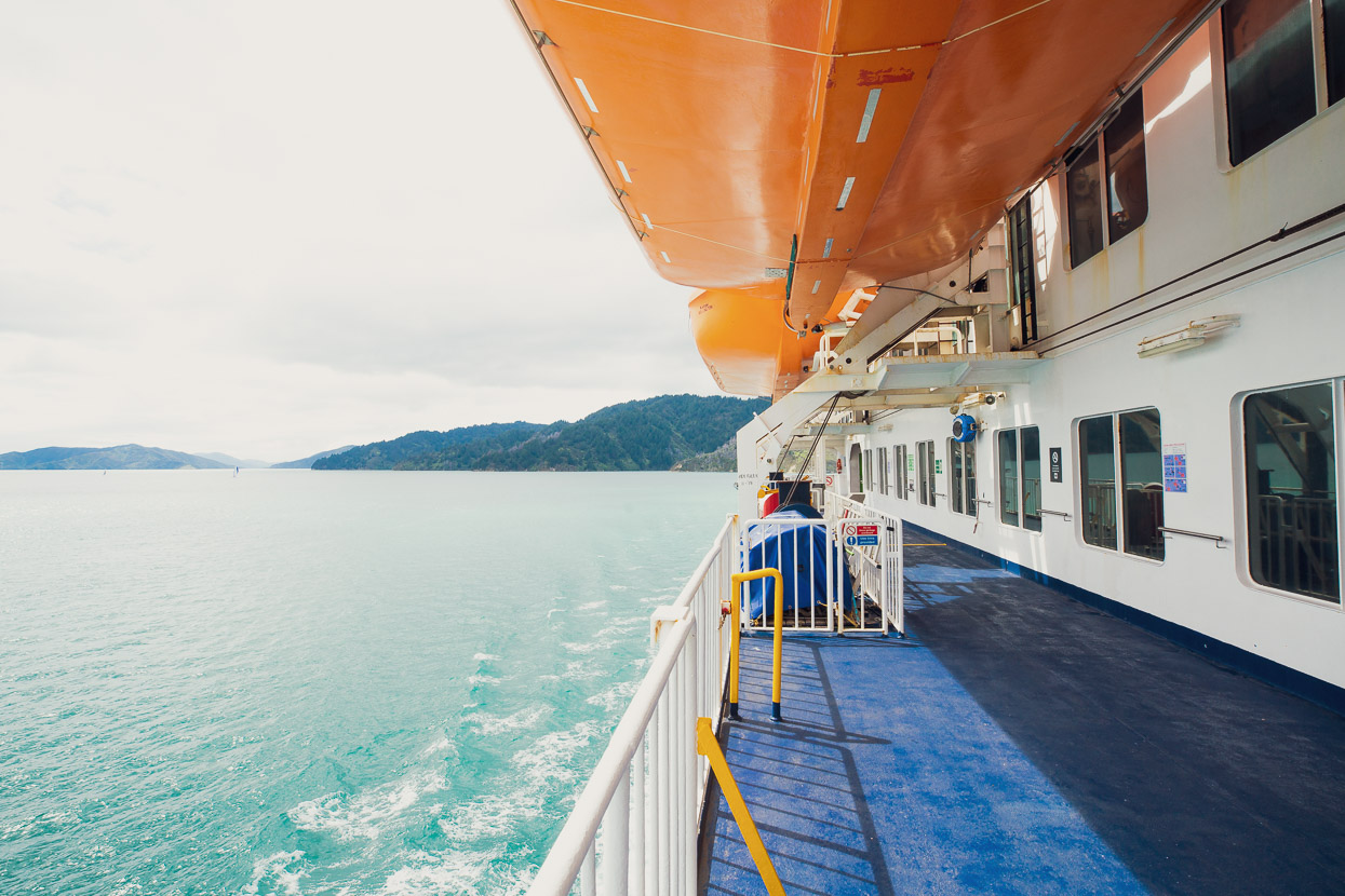
Cook Strait separates the North and South Islands of New Zealand and the main ferry service which crosses between them is known as the ‘Interislander’. This ferry is a national icon and both Hana and I have many memories of warm summer holiday crossings on the ferry when it’s packed with families and tourists on their way to adventures in the south. This cooler spring trip lacked a little of the magic of crossings past though, and with few tourists in the country during times of Covid, the ferry was very quiet. That said, entering the calm waters of Queen Charlotte sound is always nice as the ferry glides its way towards Picton.
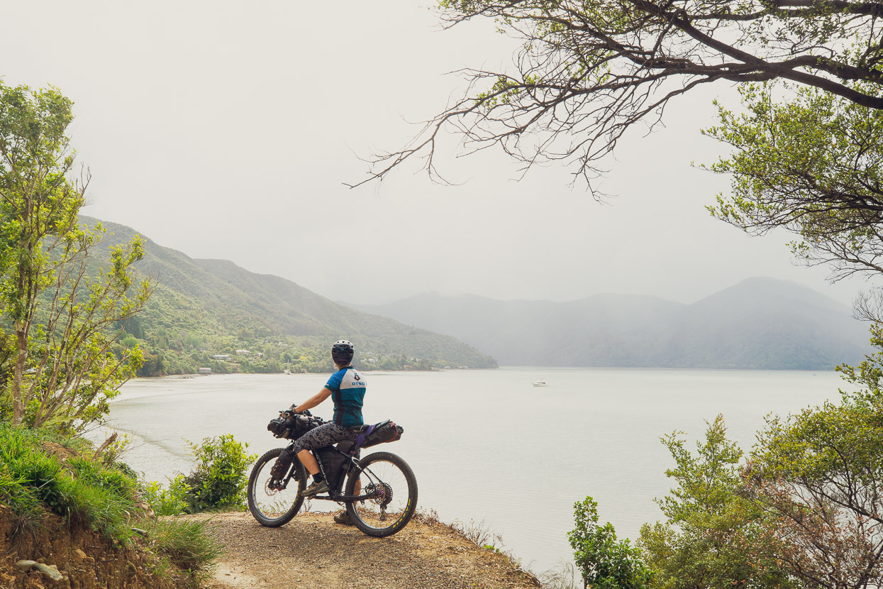
We didn’t hang around in Picton, eager to get on the road and make it to Pelorus Bridge for the night before the forecast rain kicked in. Outside of peak season, the ride towards Pelorus on Queen Charlotte drive is always quiet and pleasant; past Ngakuta Bay and Linkwater to Havelock where it joins the busier Highway 6. These days, the new shared use Link Pathway allows you to get off the road more and provides some nice views of the bays.
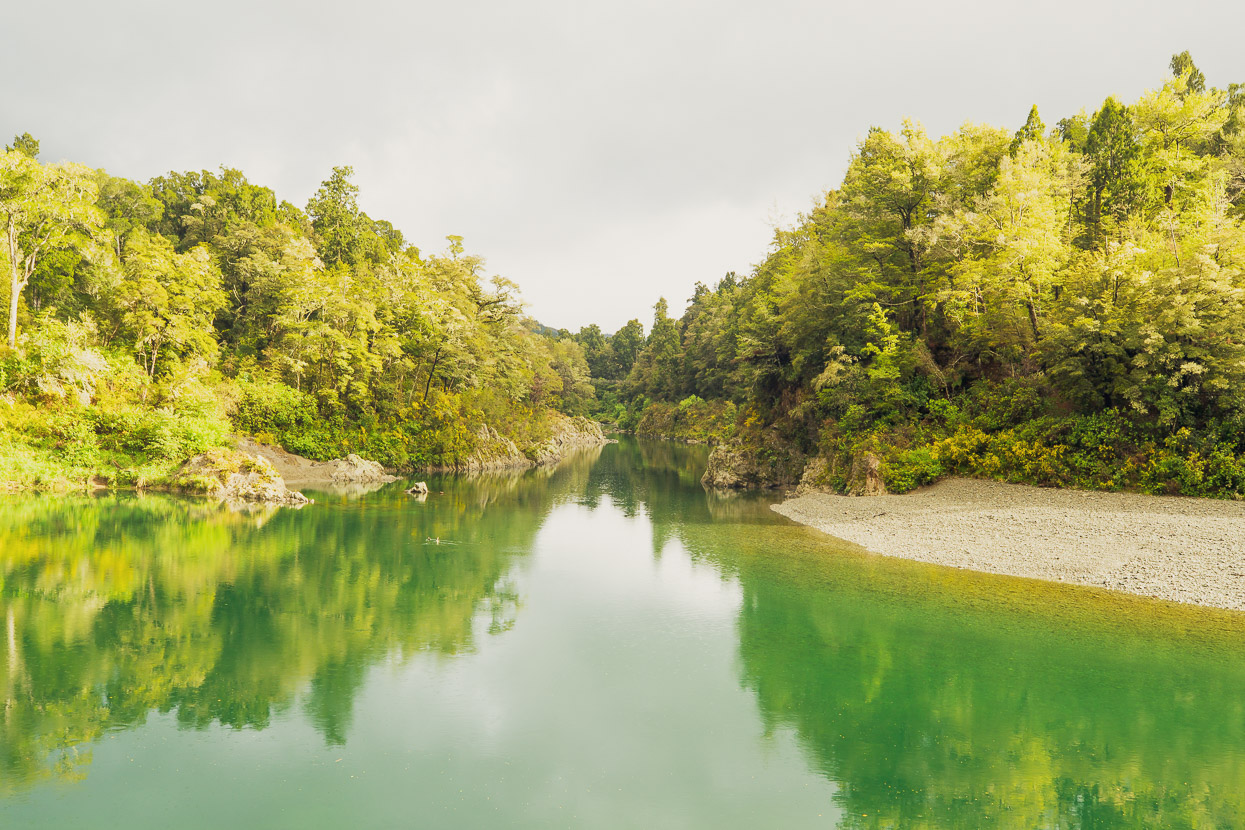
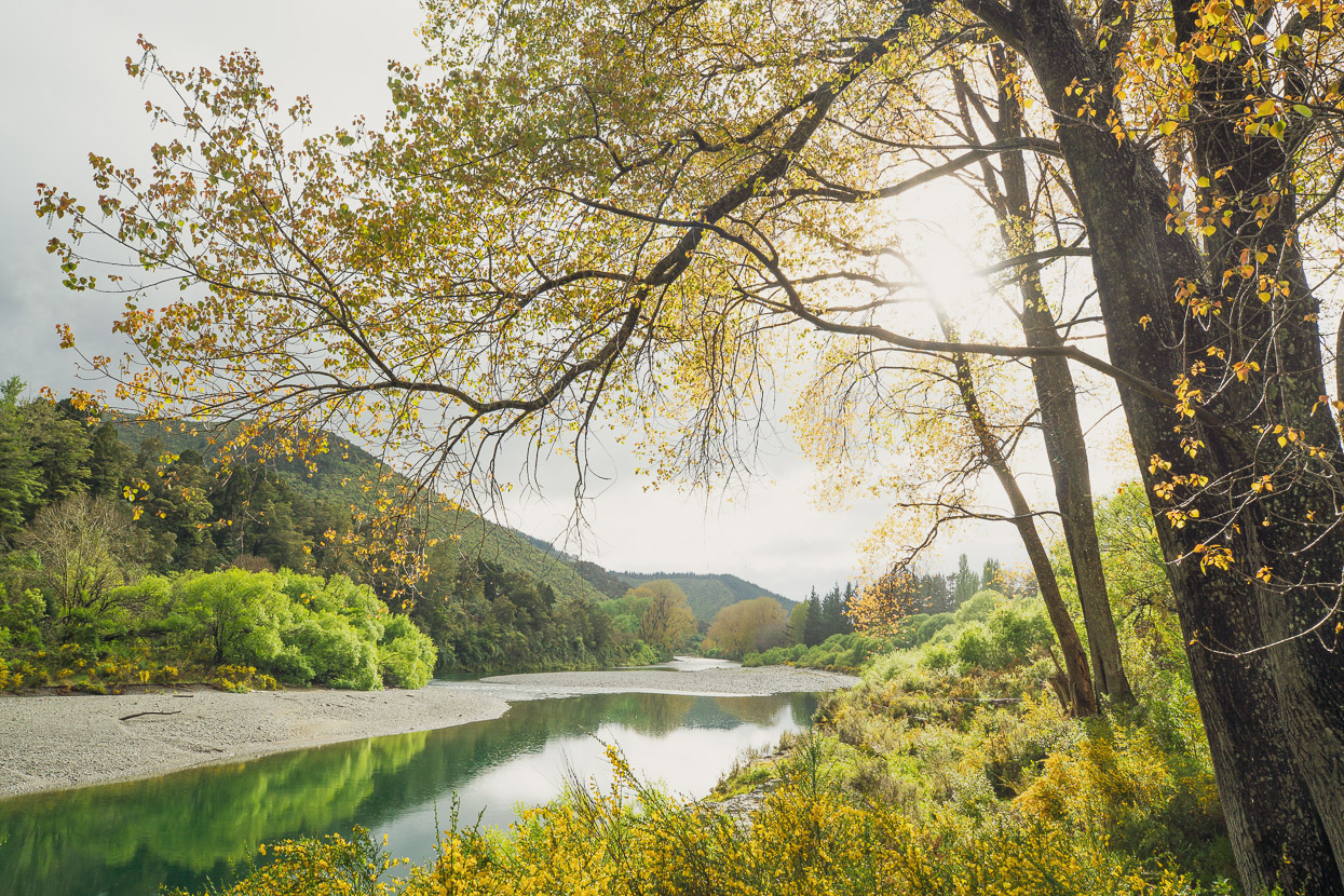
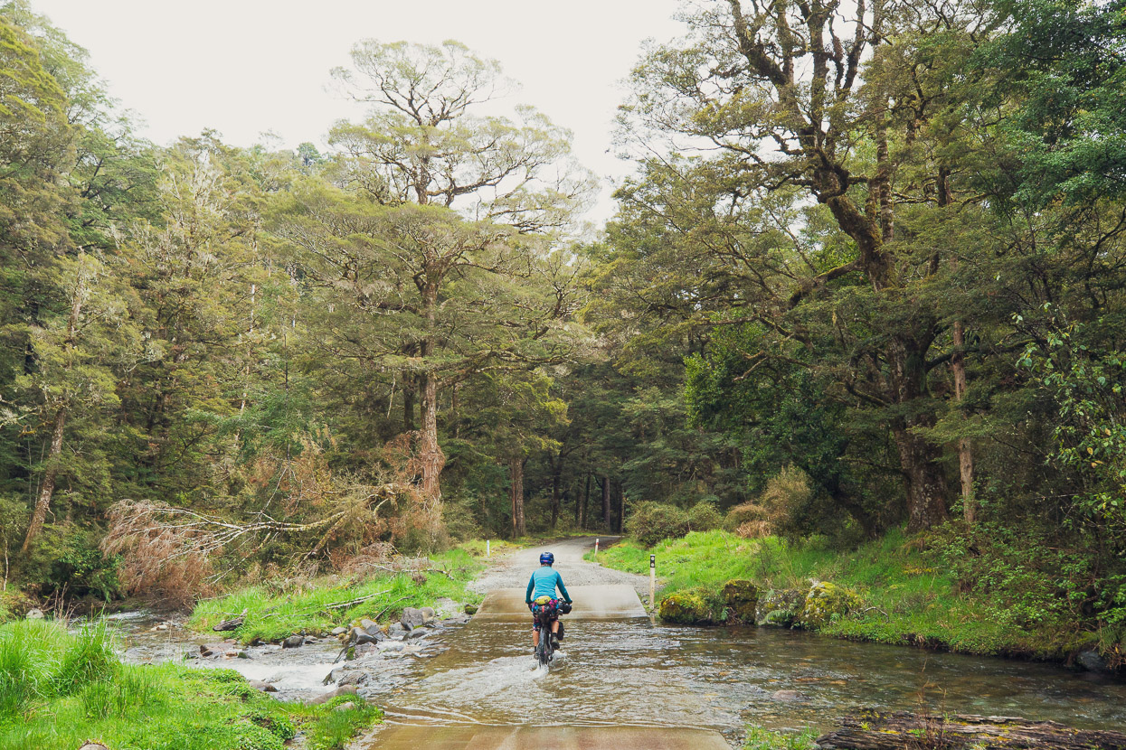
As predicted it poured with rain overnight, but the morning was calm as we packed up at the basic riverside camp at Pelorus (there’s a more expensive full service campsite too).
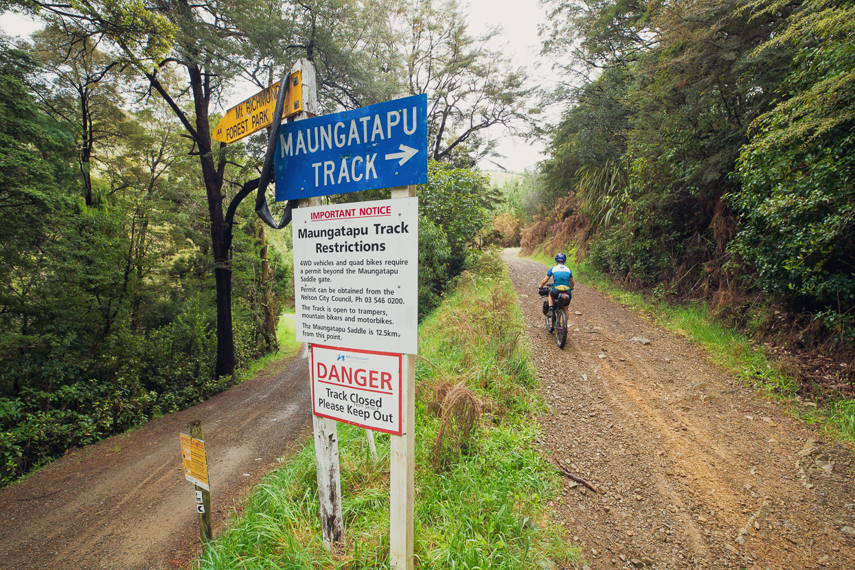
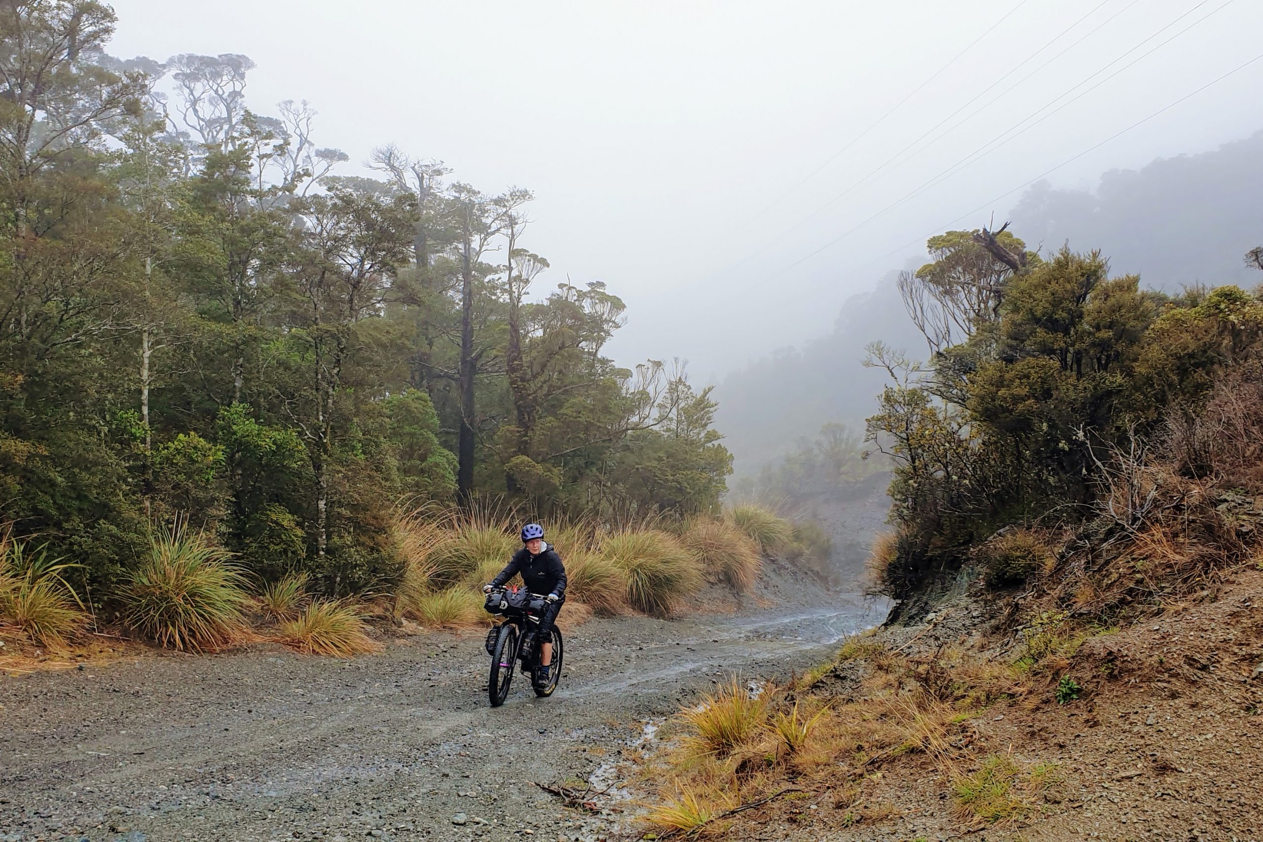
The long and steep Maungatapu Track is an old school staple of New Zealand mountain biking and as a ride dates back to a time when rideable singletrack in New Zealand was rare, and purpose built tracks were non existent. Historic bridle paths, turned 4WD roads were what you went and rode. As such we’ve both ridden this route several times in both directions since the early 90’s, loaded and unloaded. But it’s still a stiff challenge and doesn’t seem to get any easier! Sadly I only took a couple of photos because it poured with rain most of the way over.
Maungatapu saddle crosses the ranges just behind Nelson, and by the time your descent of the Maitai Valley is complete, you’re just about in the heart of the city – it’s a really nice way to arrive. We spent three days in Nelson catching up with friends Scott and Rachel, Andy and Andrea, Kaf and Brett and Helen. Thanks all for the hosting, food, coffee, etc!
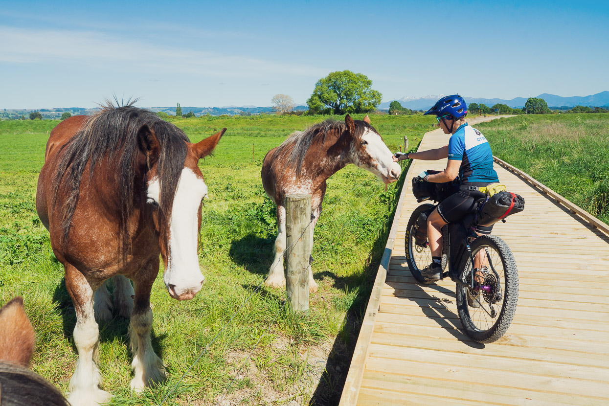
From Nelson we headed further west, towards Golden Bay following part of the Great Taste Trail, which by means of bike paths and back roads provides a good route to Motueka without having to deal with any traffic. New Zealand is really headed in the right direction with its quantum leap in cycling infrastructure and route information in recent years and our thanks go out to all those involved in establishing cycleways and routes that avoid New Zealand’s increasingly busy roads.
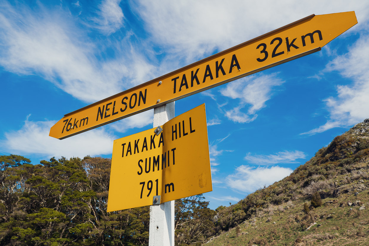
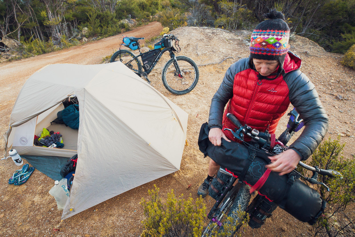
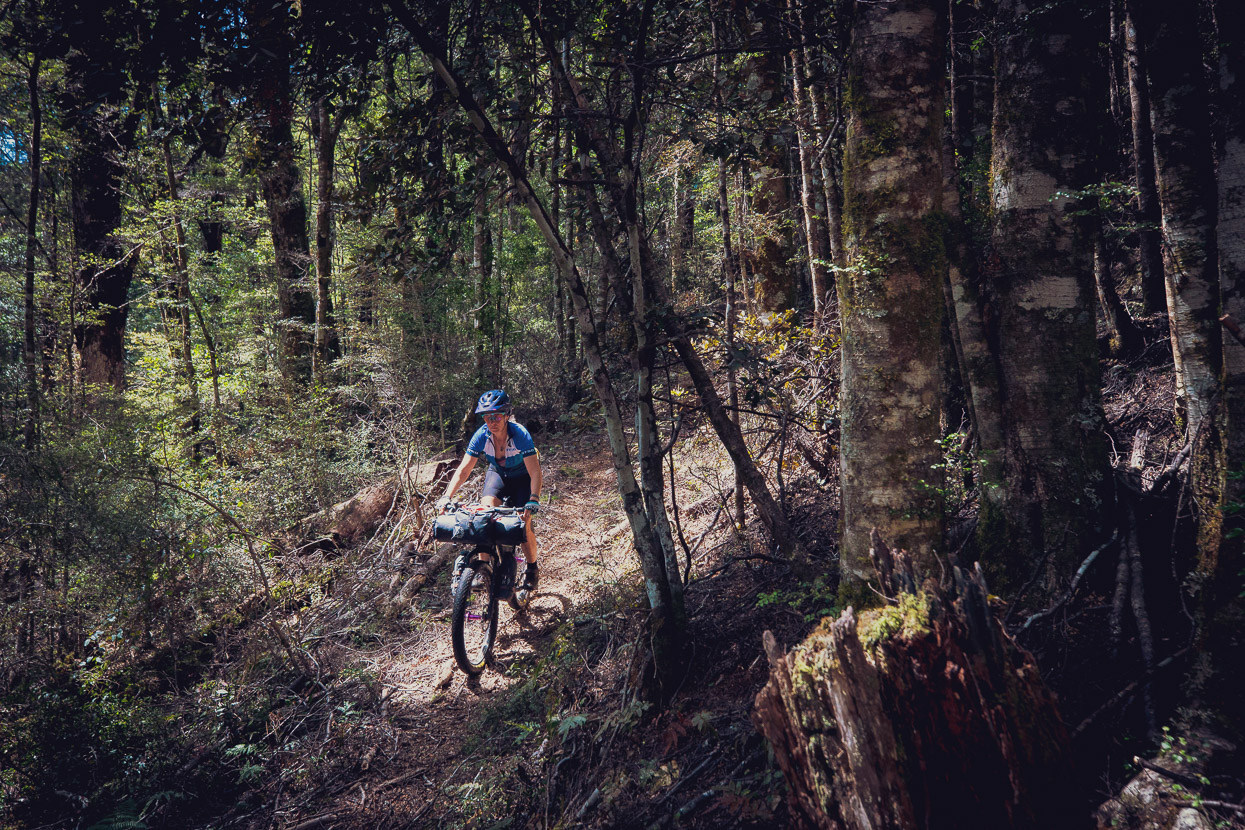
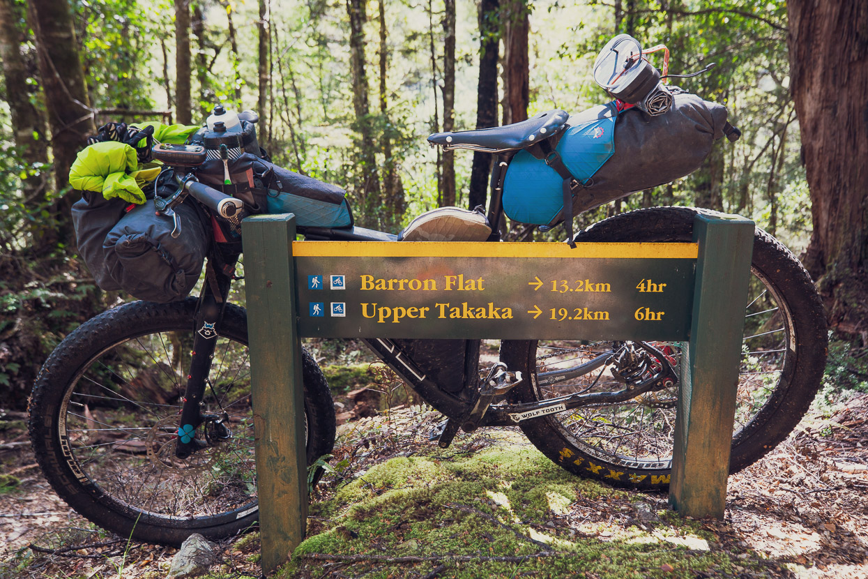
The long paved descent of Takaka Hill (in retrospect we should have taken the Rameka Track – it would have been worth the detour) dropped us into the lush dairy country of Upper Takaka from where we began climbing again on a 4WD road towards Barron Flat and the Kahurangi National Park boundary. As mentioned in my intro, this route is usually done in the other direction, but as it was originally going to be part of the Tour Te Waipounamu race (in this direction) we wanted to scope it. That night we camped near the park boundary with views down into the steep valley of Barron Stream.
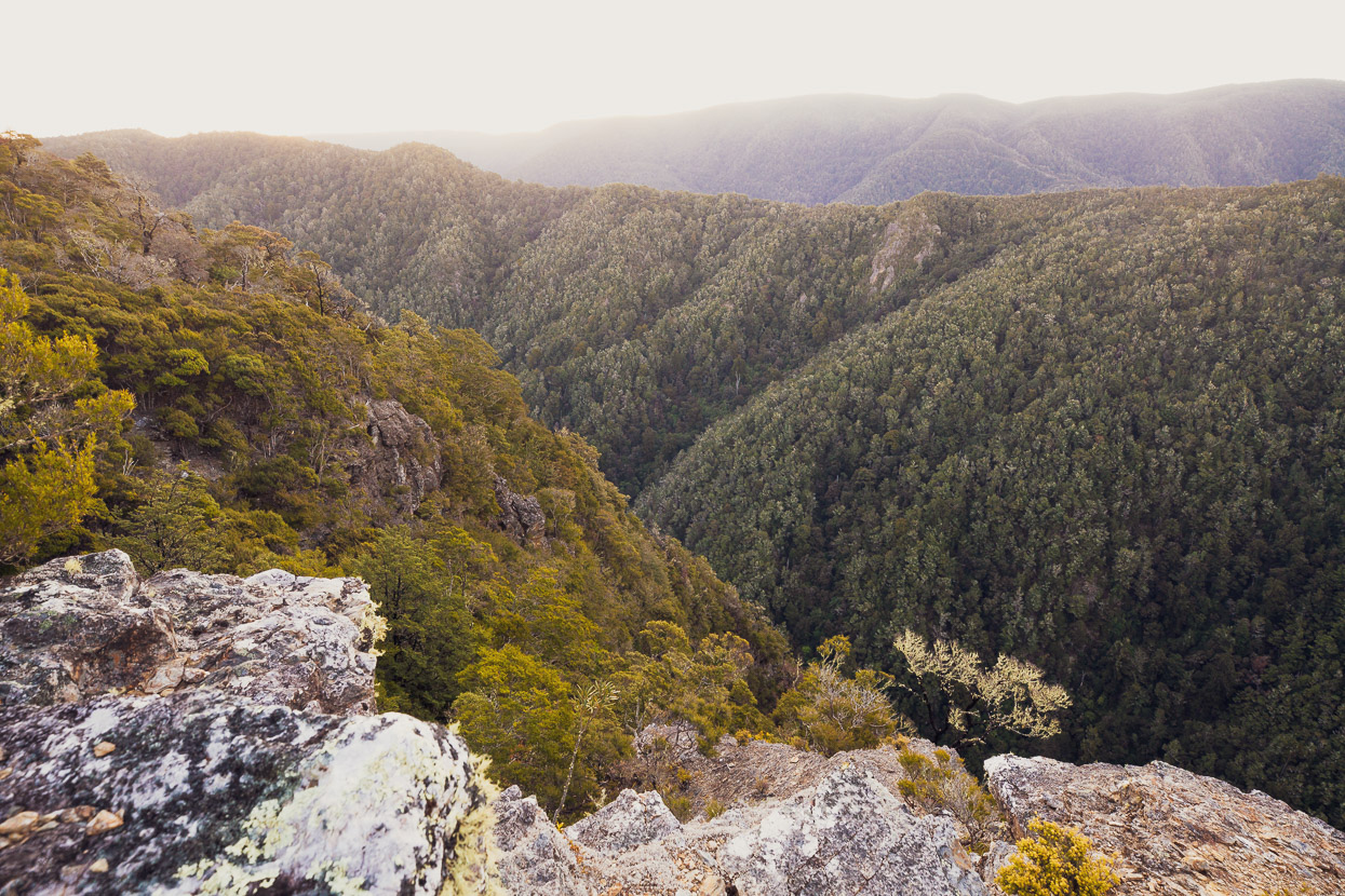
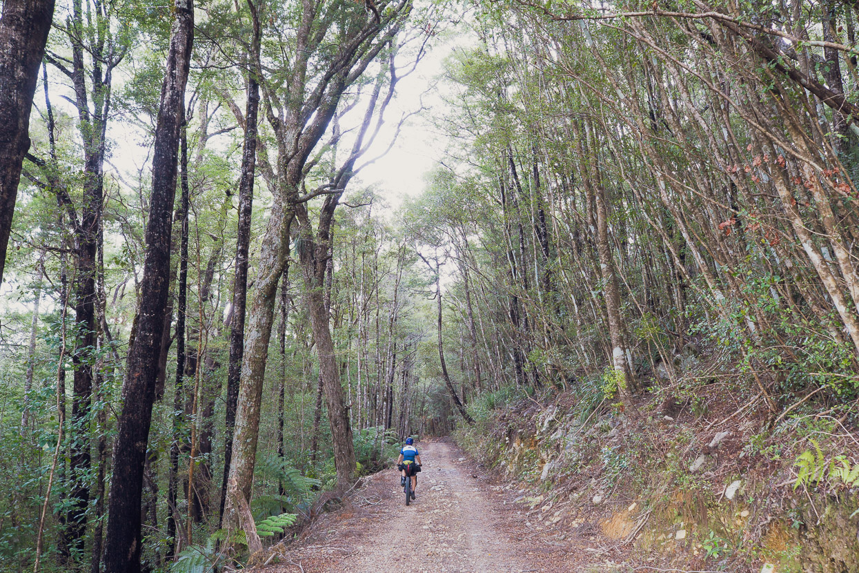
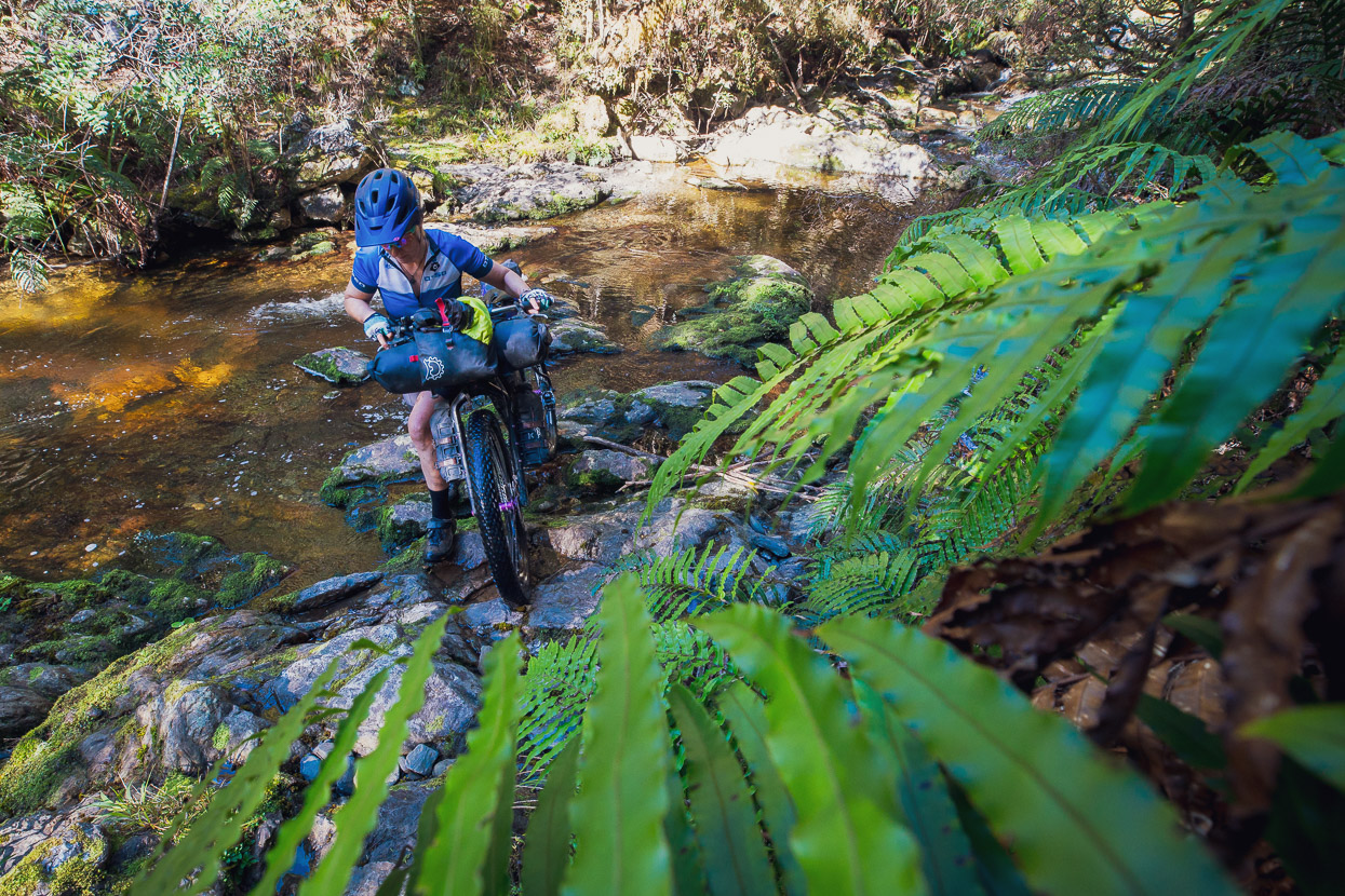
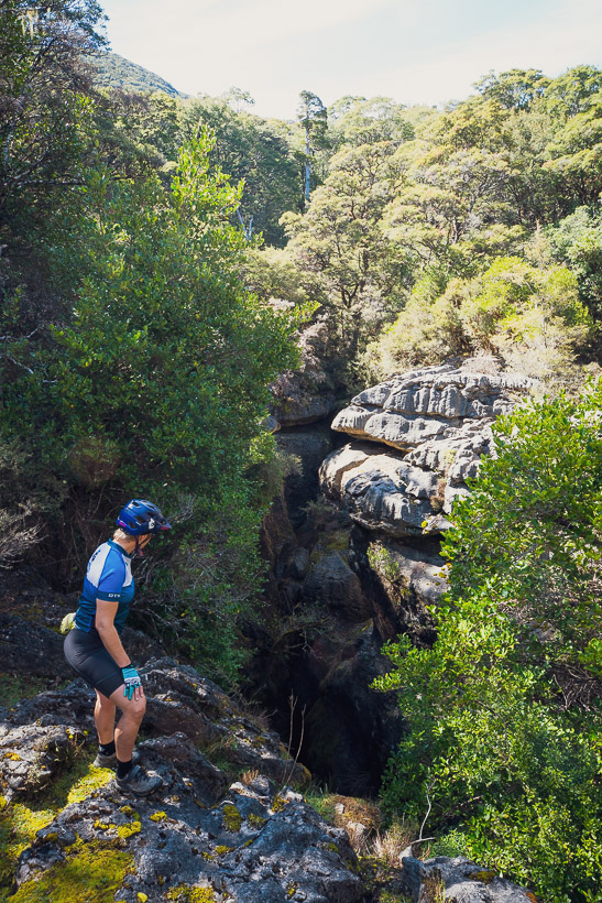
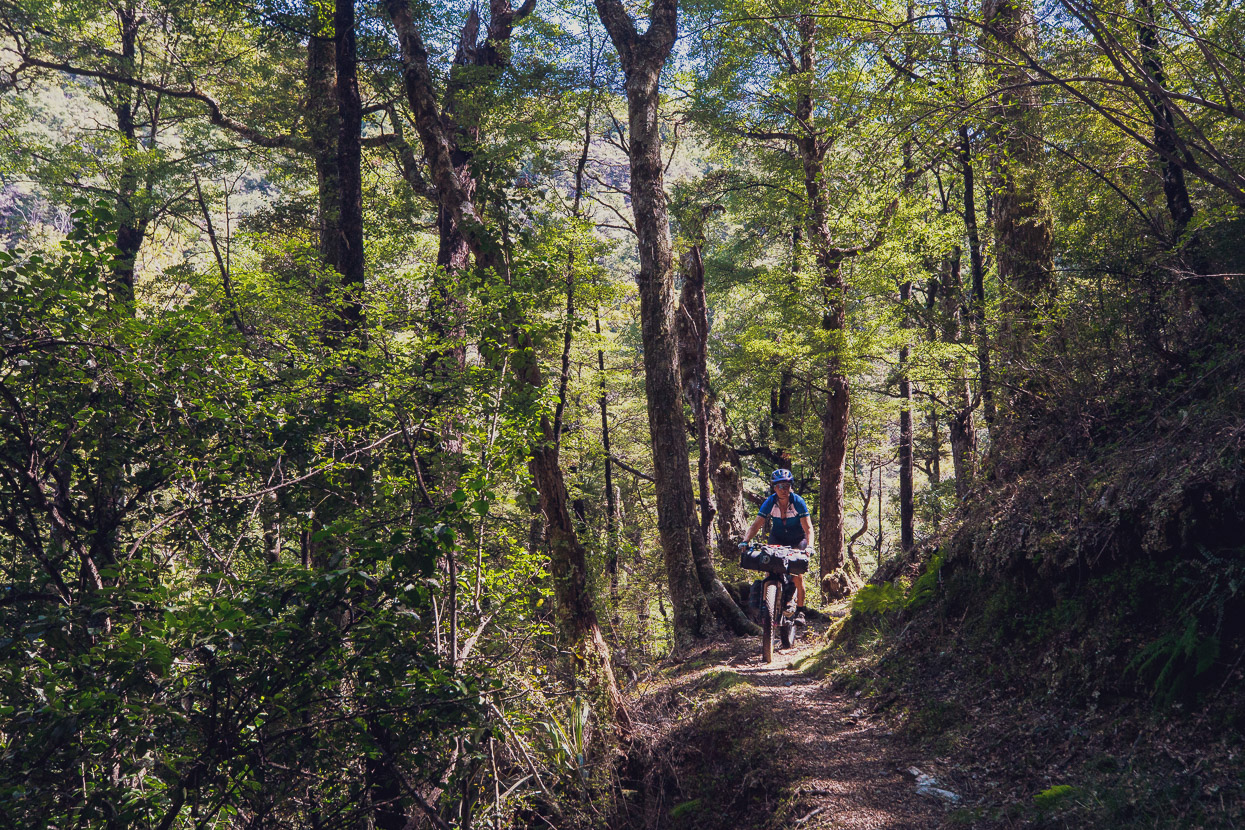
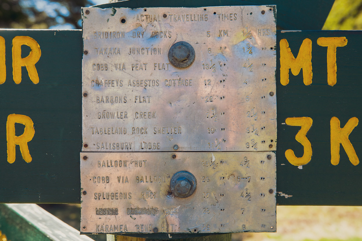
The 4WD track turns into an old bridle path as it enters the park. In general this route has really good riding on it (more so ridden northbound), but there are many spots where it has unbridged creeks, washouts and short steep or technical sections. It’s less fun and flowing ridden in the southbound direction, with a lot more climbing, but still makes a really good crossing through this section of Kahurangi National Park. Aside from the fun beech forest single track and general surrounds, there are some interesting karst formations and tomos (caves) to check out, and some historic shelters and huts. By the time the route reaches Flora Saddle at 1000m, it has traversed some really nice forested mountain country.
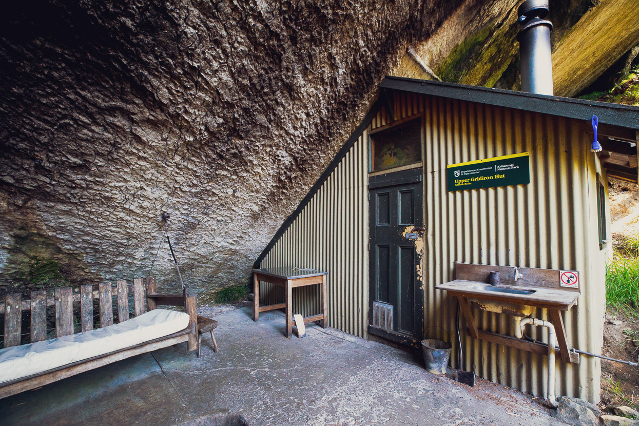
The unique and historic Gridiron Hut and rock shelters are well worth the short hike up from the main route to check out. And if you’re going in either direction on an overnighter, a special place to stay the night.
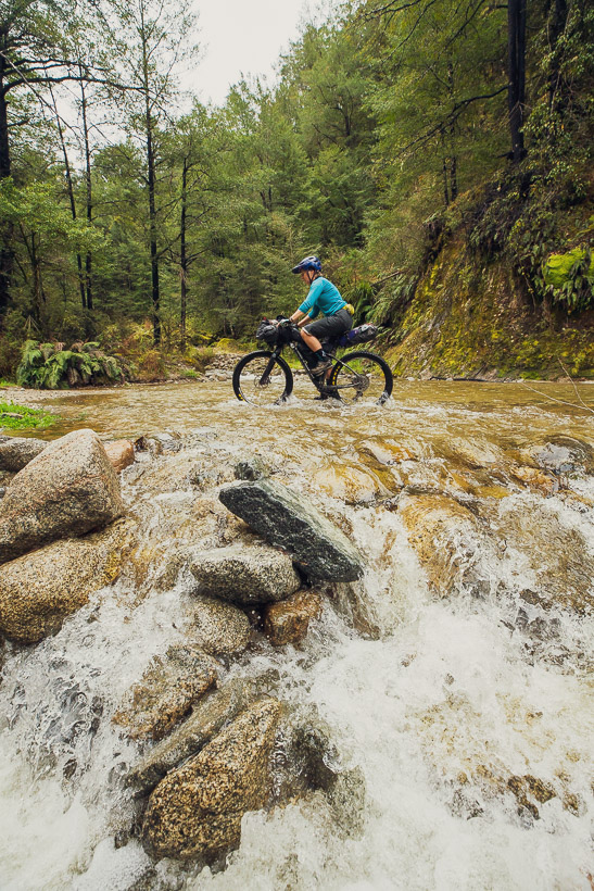
From Flora Saddle we descended Graham Valley Road down into the Motueka Valley, turned right and headed up the Motueka River west bank, and then on to Baton Valley Road. Combined, these roads follow the edge of the foothills of the Arthur Range and traverse a good chunk of rural Nelson/Tasman region back blocks.
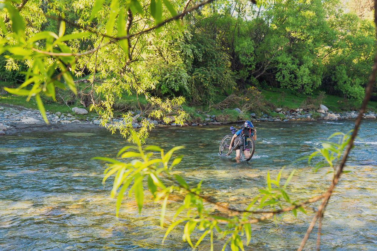
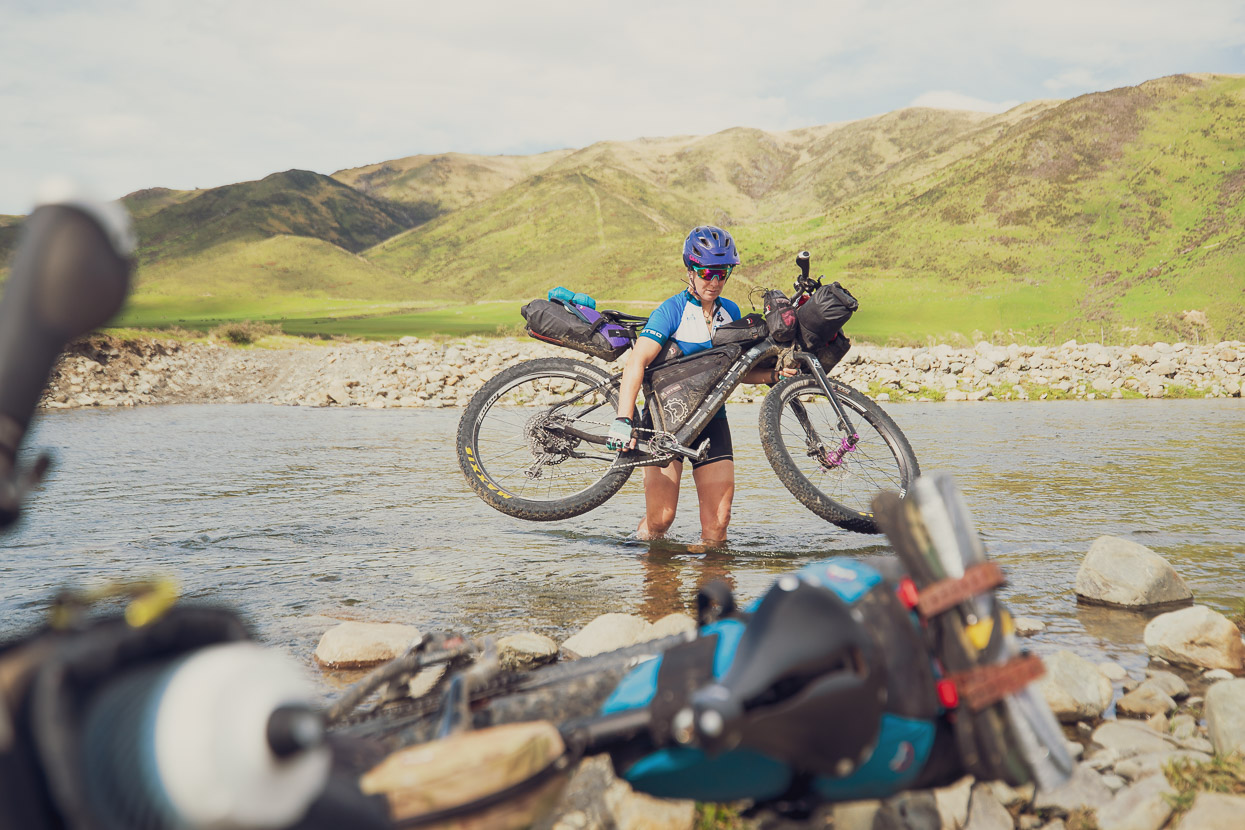
The Baton River ford was a straightforward wade, but this one does come up fast in even moderate rain. There are bridged crossings from the West East to East Bank of the Motueka River lower down if you’re unsure. This crossing got us onto easy gravel roads headed towards Tapawera, just before which we stopped to camp for the night on the edge of the Motueka River.
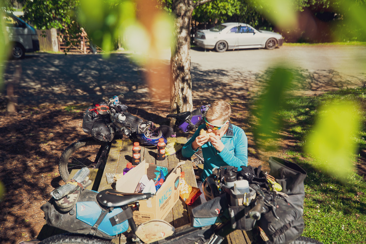
Tapawera has an excellent and well stocked Four Square, so we tucked into second breakfast and resupplied for the next couple of days to Murchison before heading up the Tadmor valley and over the gravelled Tadmor Saddle.
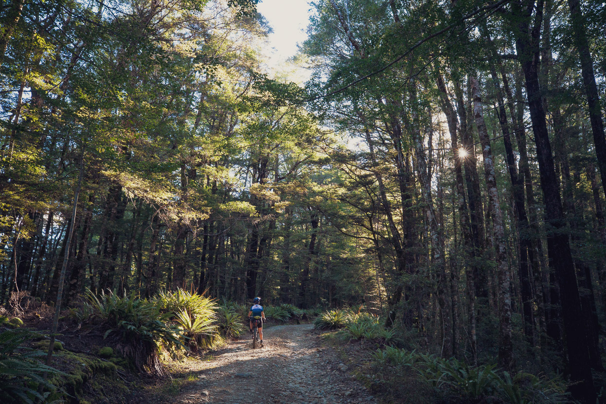
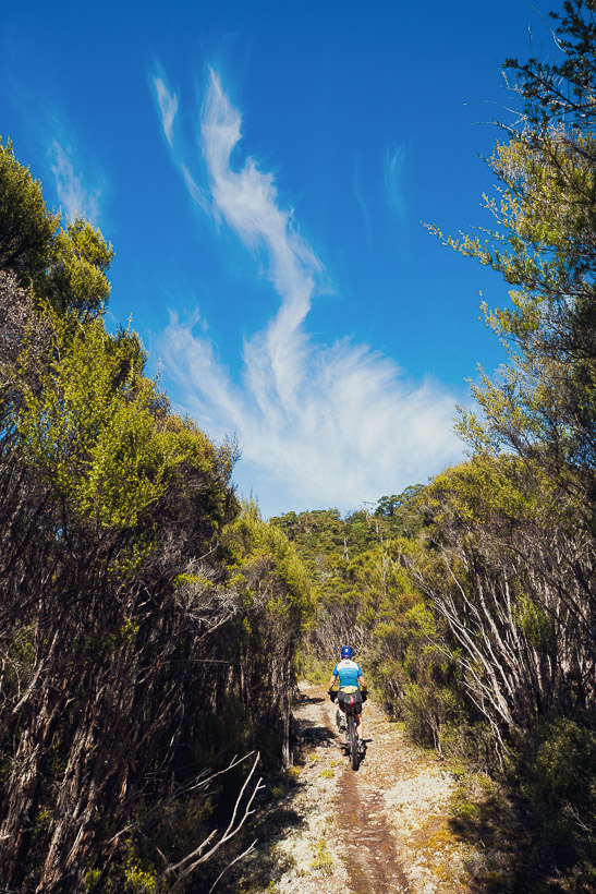
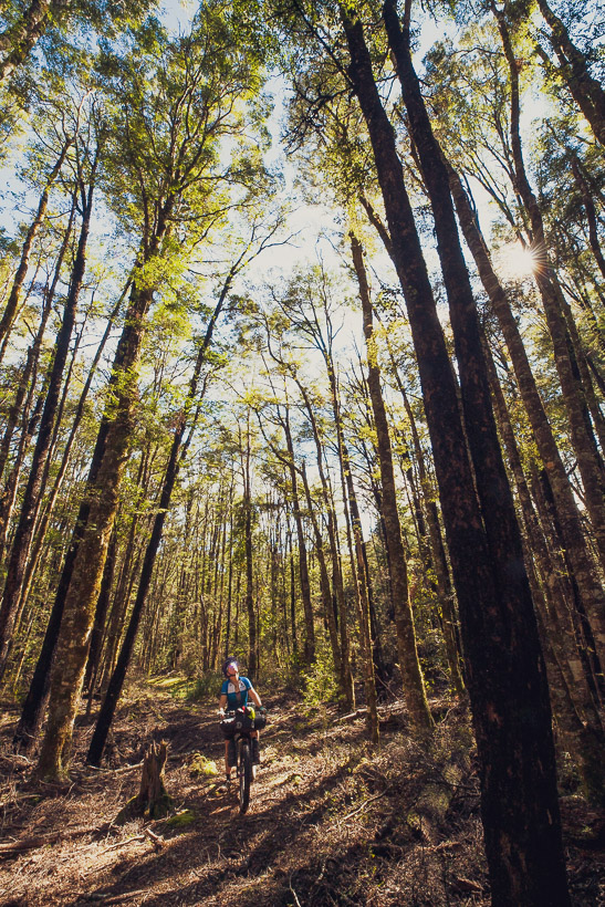
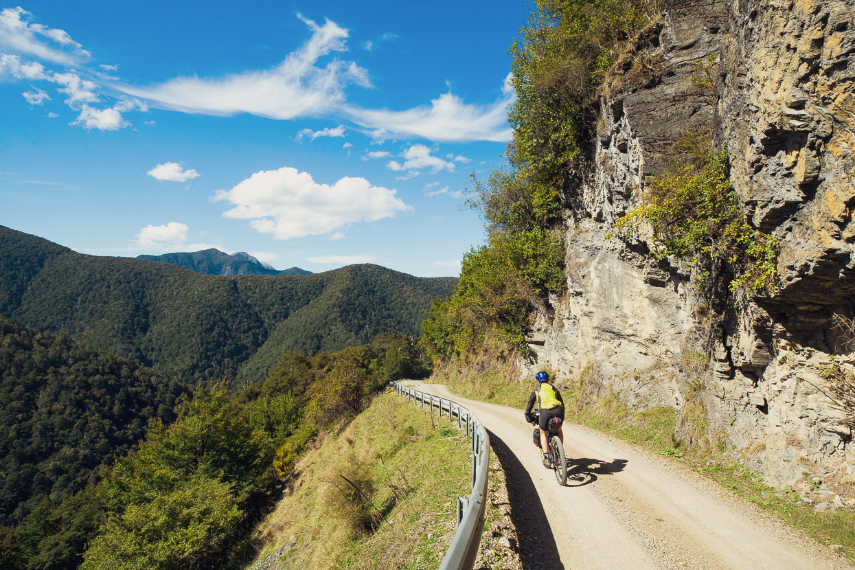
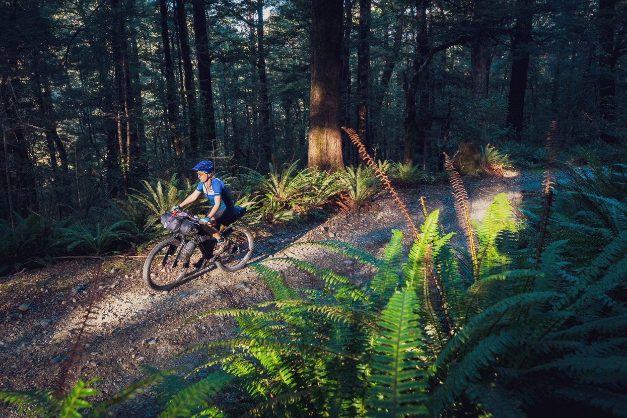
A short stretch on Highways 6 & 63 led to the Howard Valley and then the famous Porika Road which climbs gently at first and then sharply through some stunning beech forest. The thick understory of crown ferns and the peaceful forest make this quite a special climb, and also one that – like the Maungatapu – is something of a rite of passage for kiwi cyclists. The descent to Lake Rotoroa is both rocky and steep but on the right bike is still a lot of fun. It was with sizzling rotors that we dropped down to the lake edge and clouds of sandflies on a warm evening.
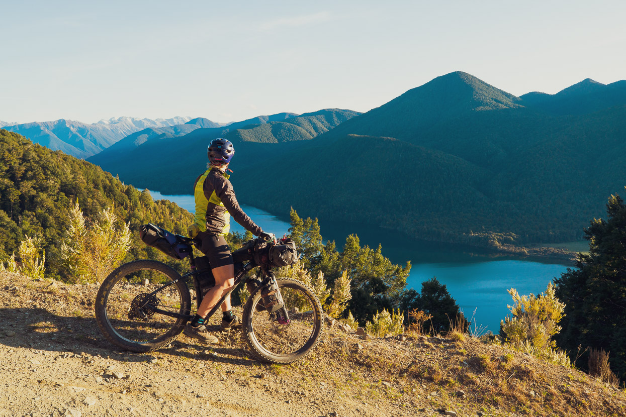
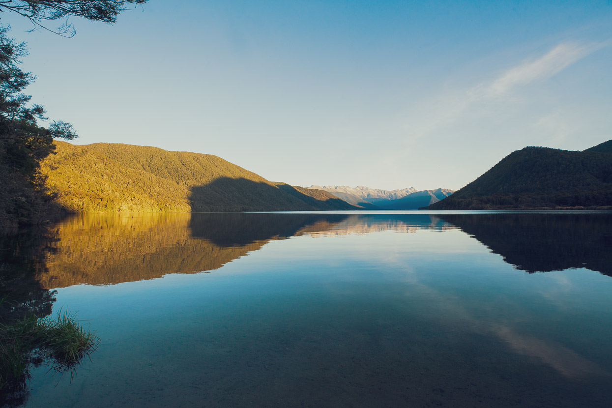
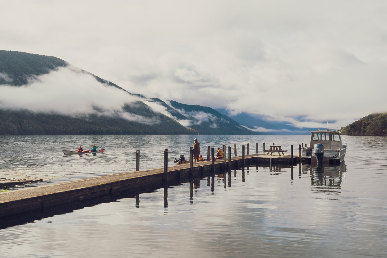
Lake Rotoroa is not really on the way anywhere and requires a detour from the main highway, so it’s generally pretty quiet here. There’s a basic DOC campsite, rain shelter and toilet block and not a lot else, except for a serene view down the lake towards Nelson Lakes National Park.
For cyclists Porika Saddle is usually combined with the next smaller saddle, the Braeburn, which makes for an excellent stretch of quiet dirt road riding and a good way to get to Murchison. Heavy rain was forecast so we spent a day and a half in Murchison waiting out the weather in the comfort of a cabin at the Riverside Holiday Park. This is a great, low key spot to stay with friendly owners and location on the edge of the Buller River – the levels of which fluctuate impressively when it rains.
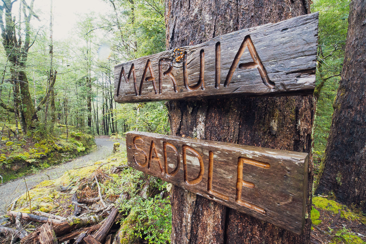
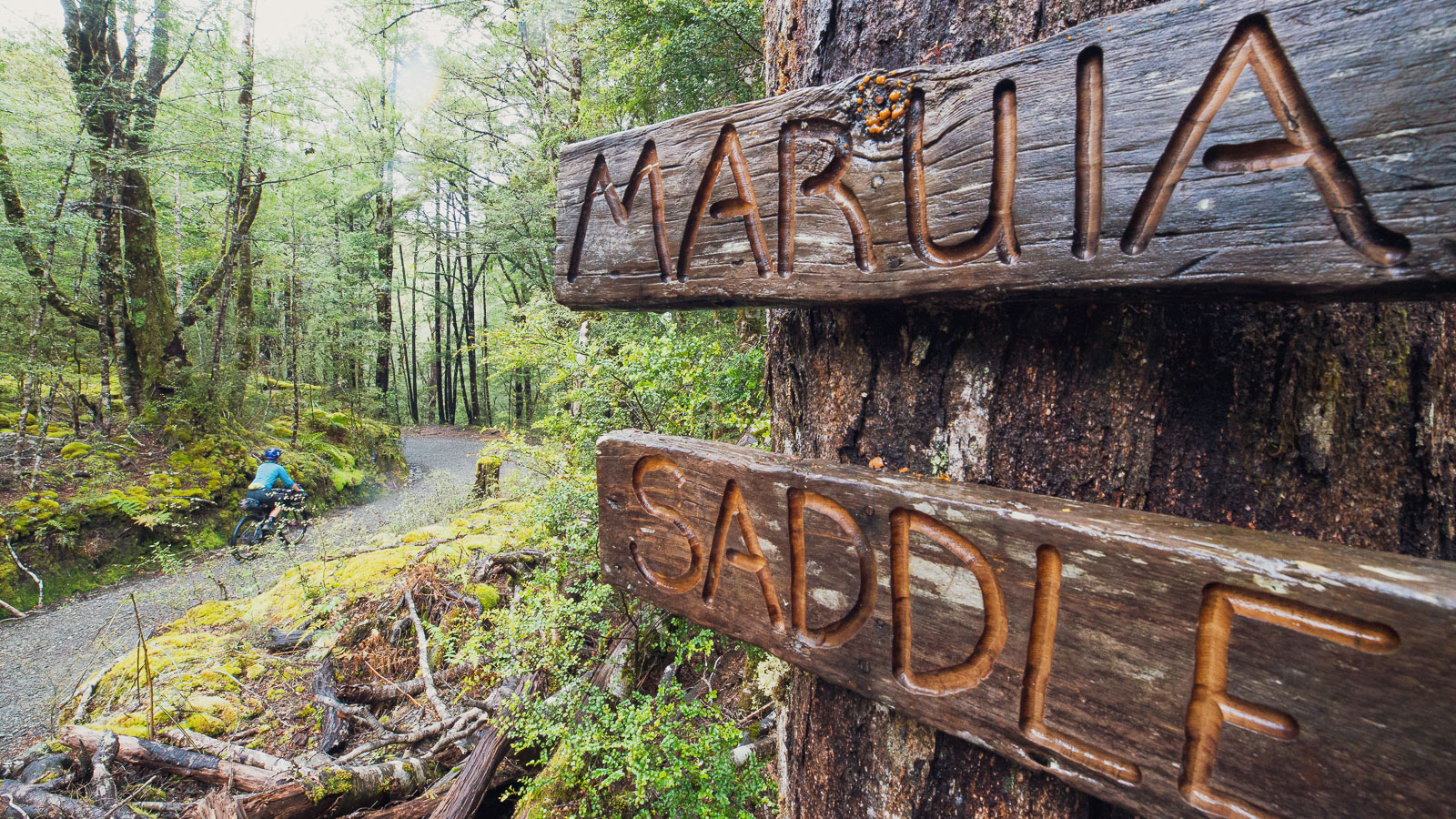
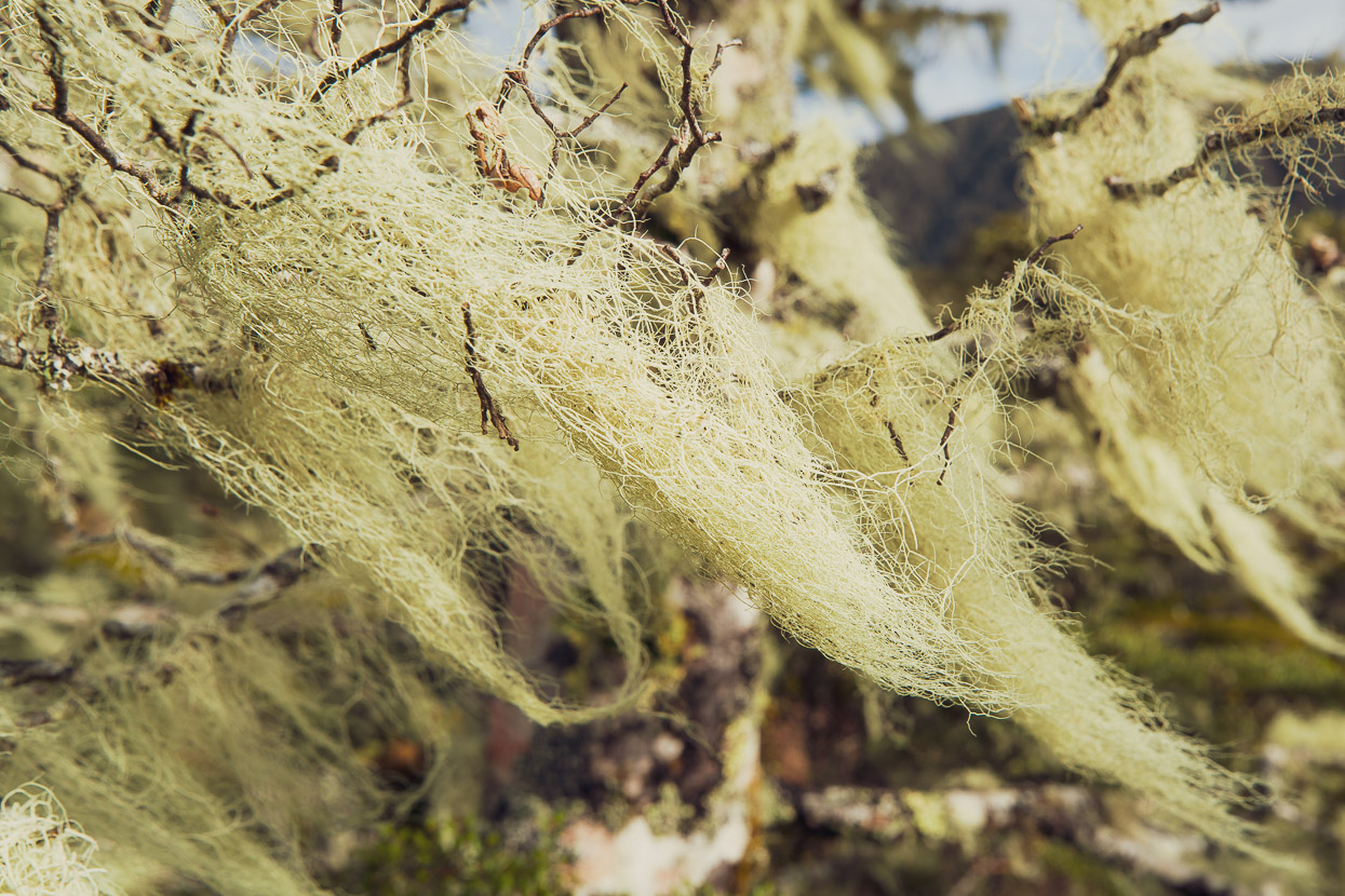
One of the gems of the whole ride came next, Maruia Saddle, which has to be one of the best gravel/dirt road rides in the country. It’s not very long, but it the lush, moss festooned forest in this high rain fall area is pretty special and it’s always quiet.
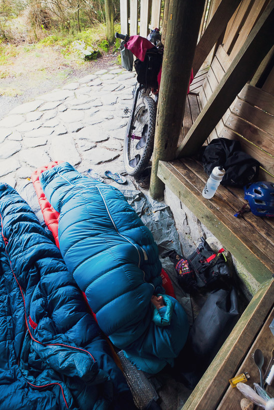
We put in a long day that day, continuing past Springs Junction and up to Lewis Pass, where we stopped for the night on dusk. There’s a short nature walk on the pass with a nice tarn, and conveniently for bikepackers, a small picnic shelter with toilet and water supply. We’ve bivvied here discretely in the past and it’s very useful in bad weather.
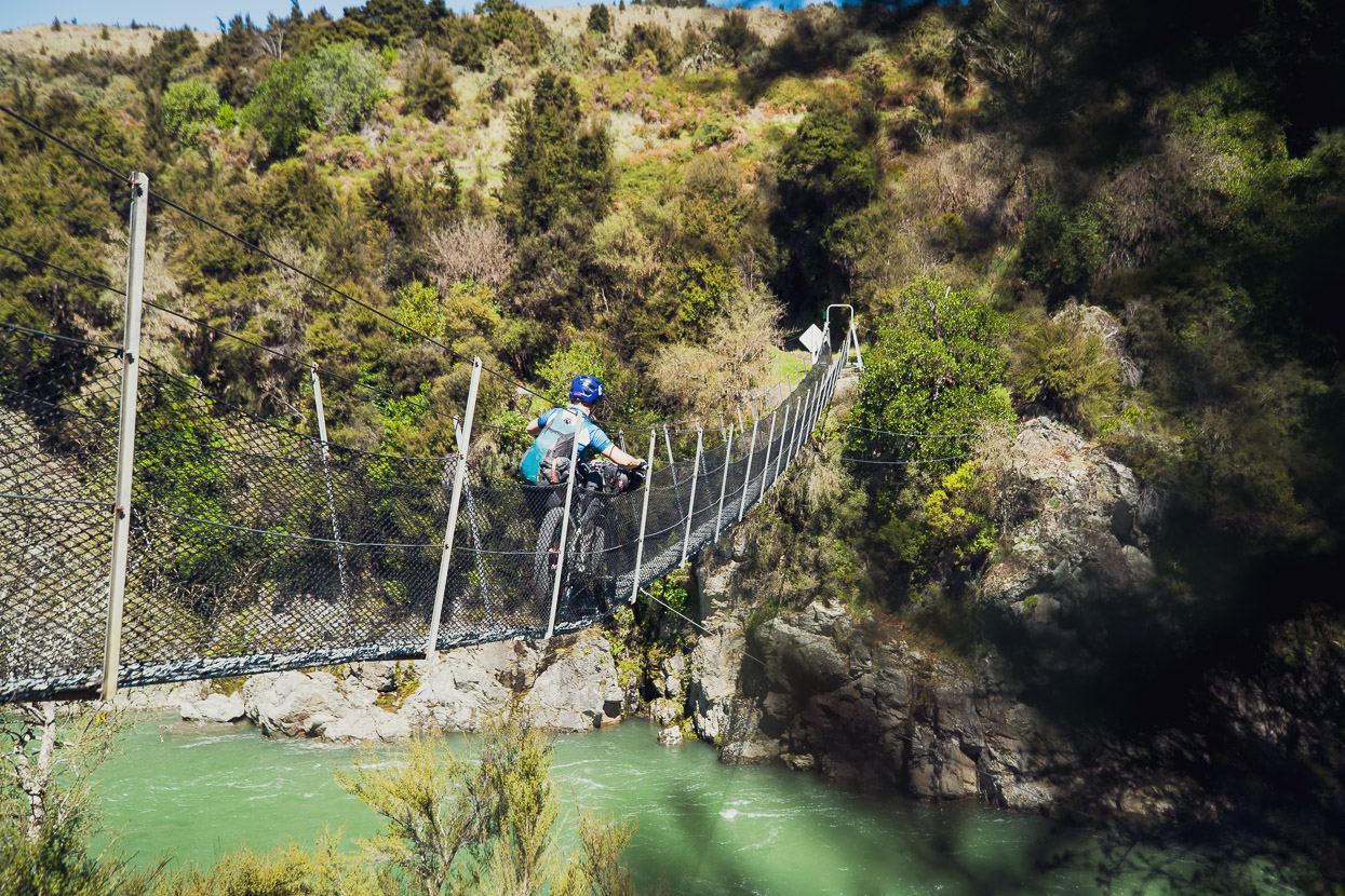
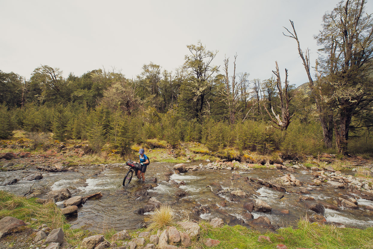
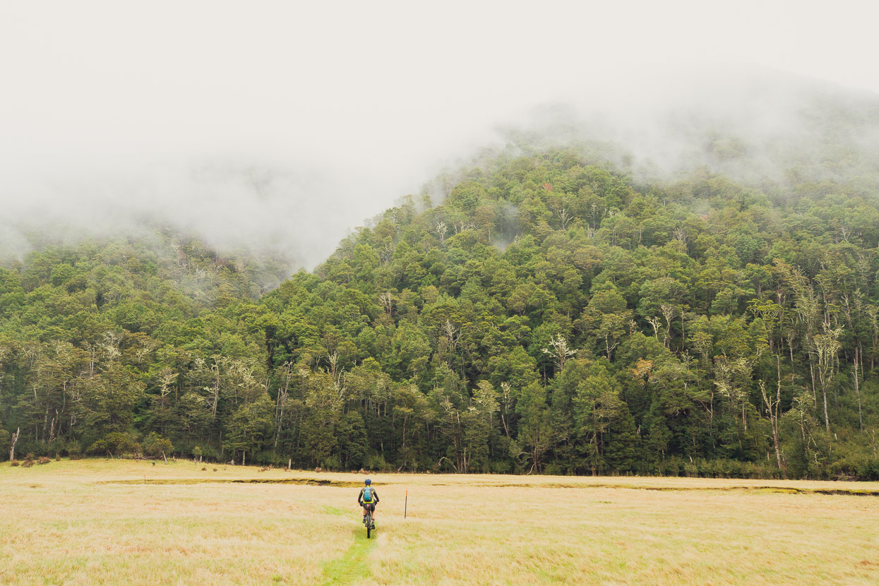
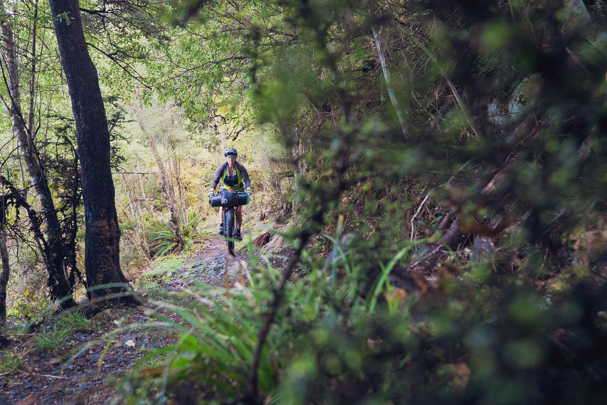
The next key stage of Tour Te Waipounamu that we wanted to scope was the Hope Kiwi Track from Windy Point through to Lake Sumner. This track is also part of the Te Araroa through tramping route and I’d walked it before back in 2015.
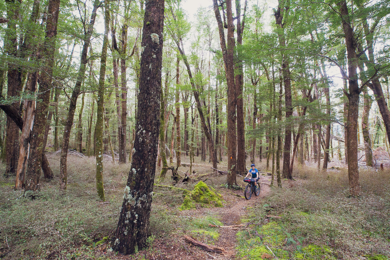
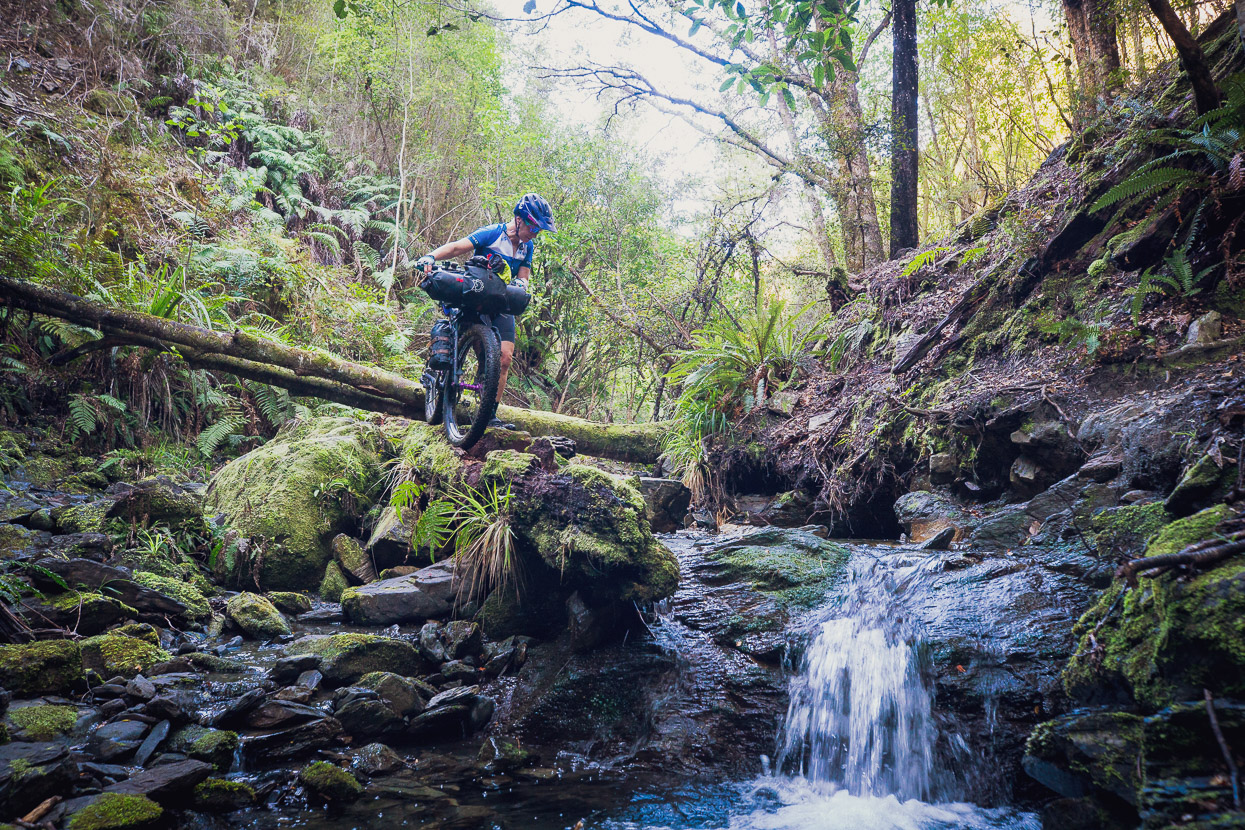
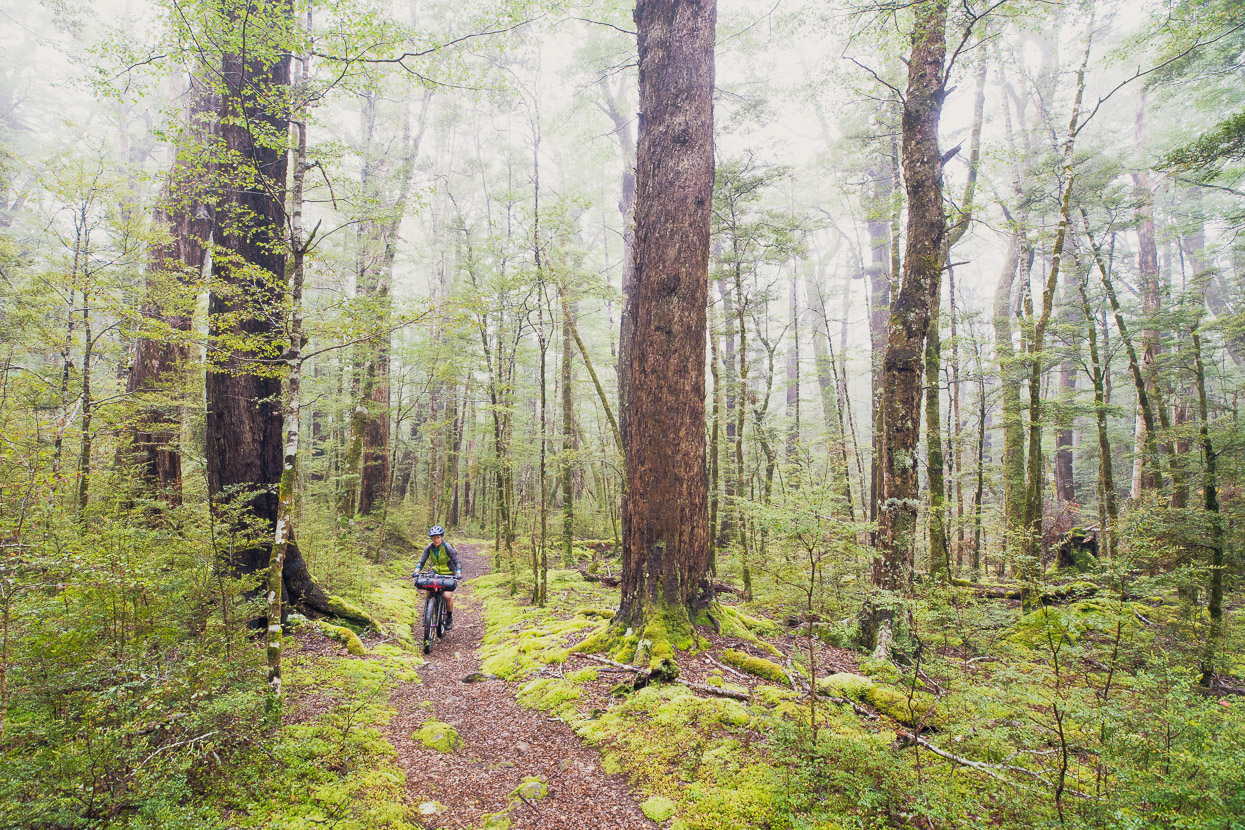
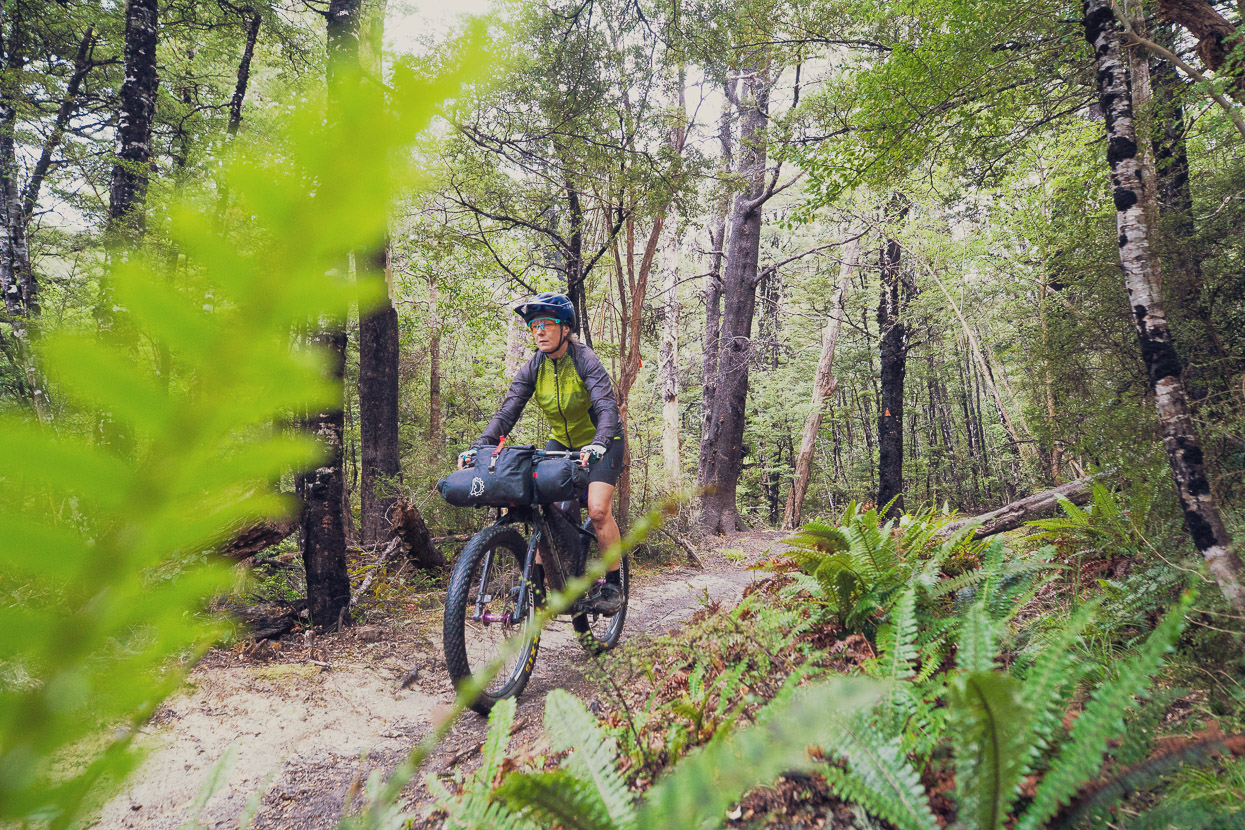
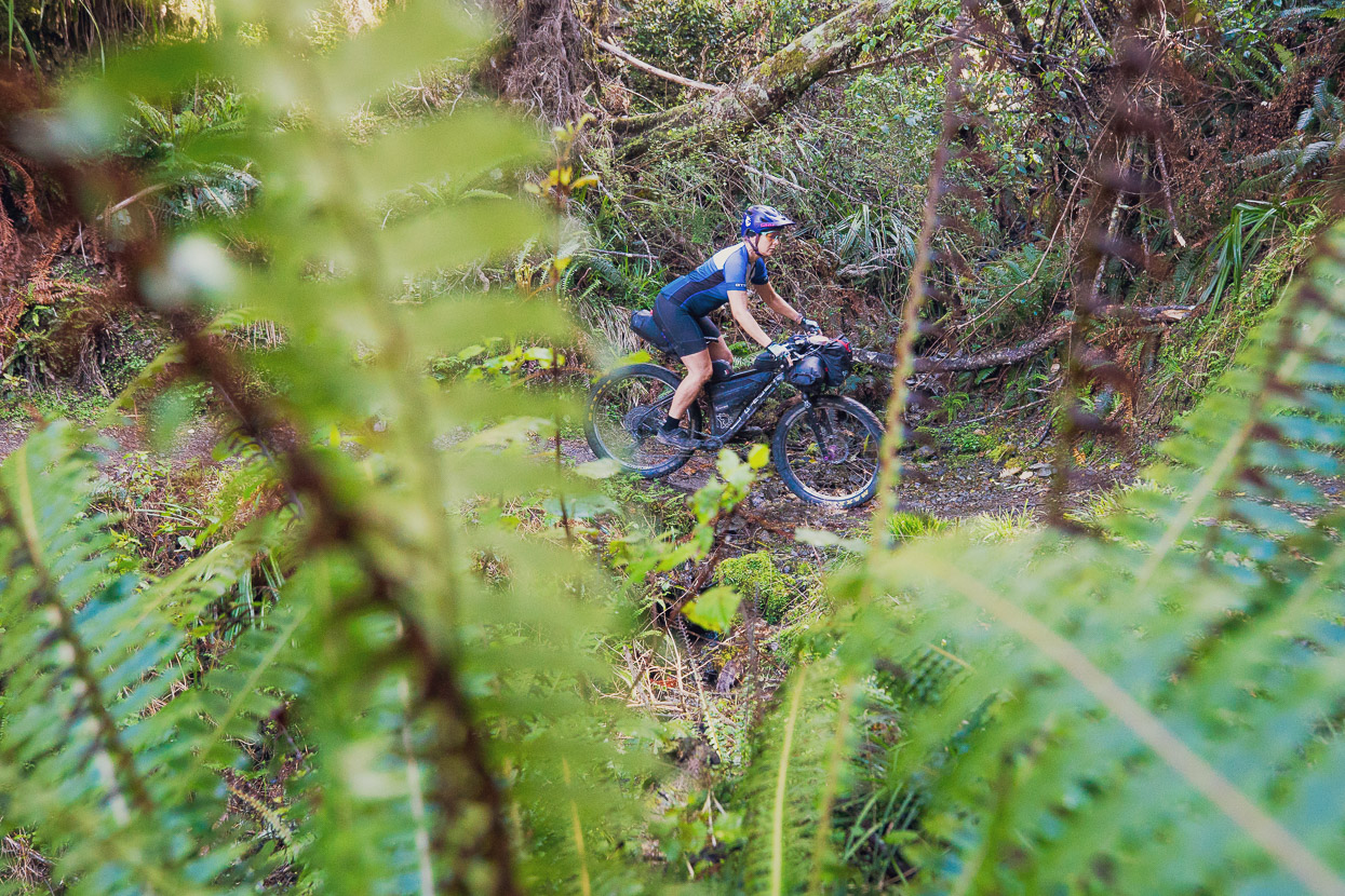
Overall this route offers up some excellent technical single track riding in classic eastern South Island beech forest, but you have to work for it. If you don’t mind pushing your bike often, dismounting sometimes for fallen trees and stream gulches and riding perhaps only 50% of the time, then this track’s worthwhile. We were slightly on the heavy side for maximum enjoyment (and on rigid forks), but still had a blast where it’s ridable.
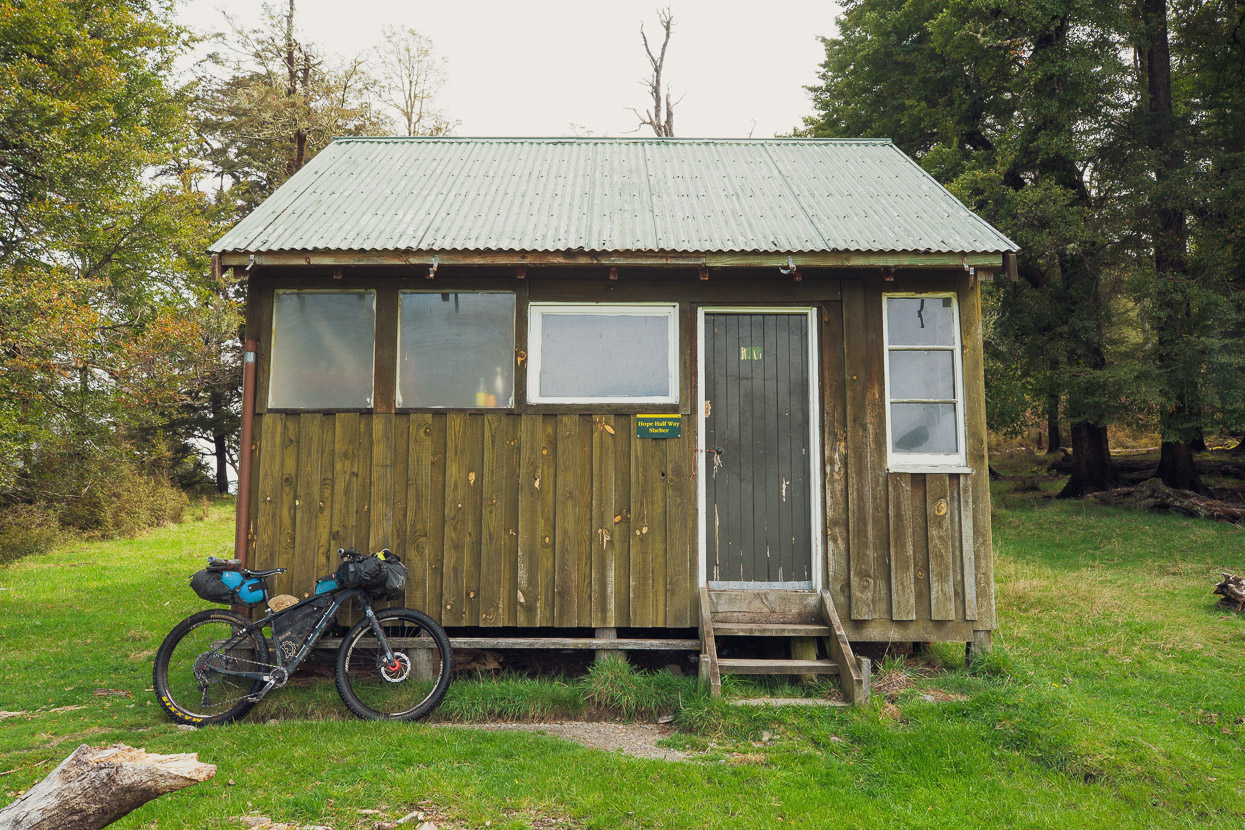
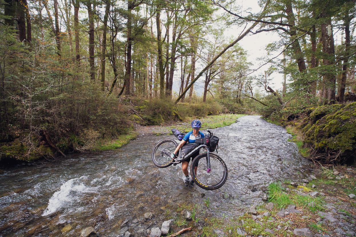
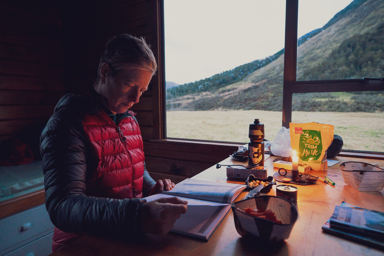
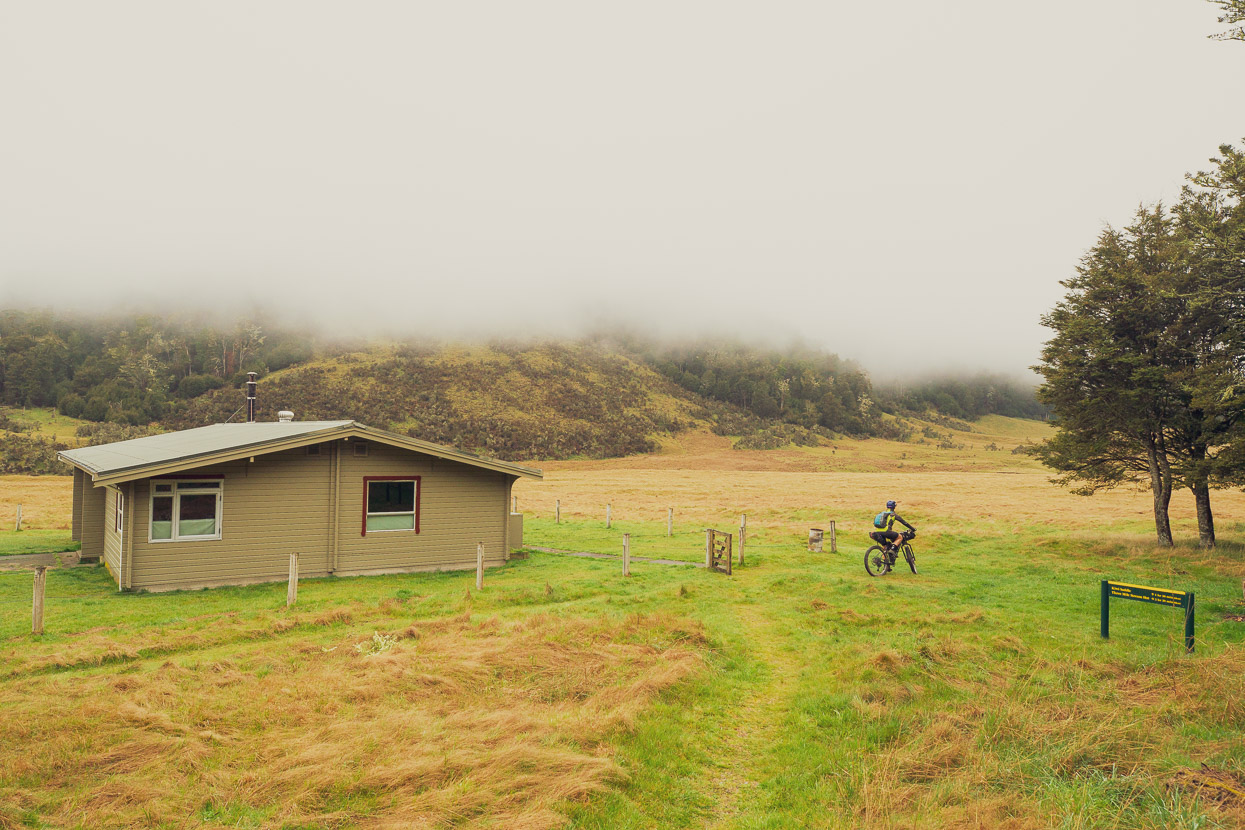
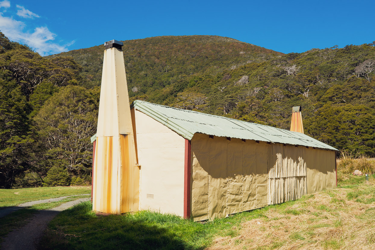
There’s two huts along the way: Hope Halfway Shelter and Hope Kiwi Lodge. The latter being the best of the two and where we spent the night.
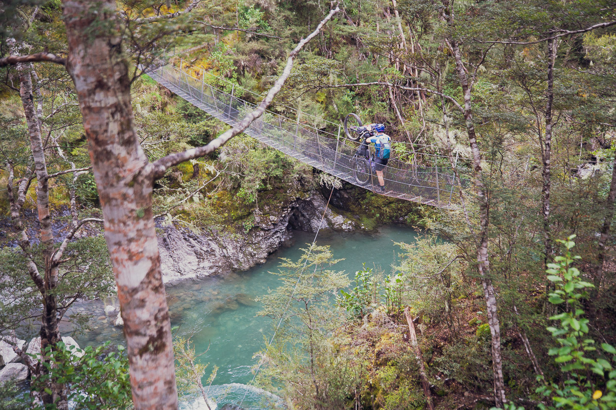
From there the route crosses an open grassy basin (tip: take the horse trekking route rather than sticking to the tramping route the whole way – it avoids some tricky bush), and then reenters the bush to climb up to Kiwi Saddle. From the saddle the riding continues to be on/off and undulates a bit, crossing one more bridge and some small streams before it drops down to Lake Sumner.
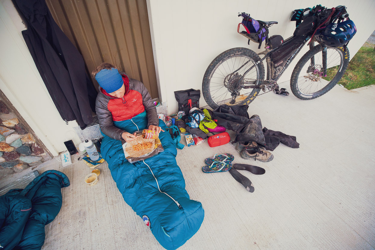
It rained again that day, and sadly I got few photos because I fell into a creek and saturated my camera, which then shut down completely. I didn’t manage to get the camera operating again until the evening after we’d ridden gravel roads out to Hawarden. There, I unmounted the lens and used a hand drier in the public toilets to evaporate the moisture, which took about an hour, but worked very well. I was careful not to blast the hot air directly onto the sensor, and that seemed to work; no dust contamination and a dry camera again.
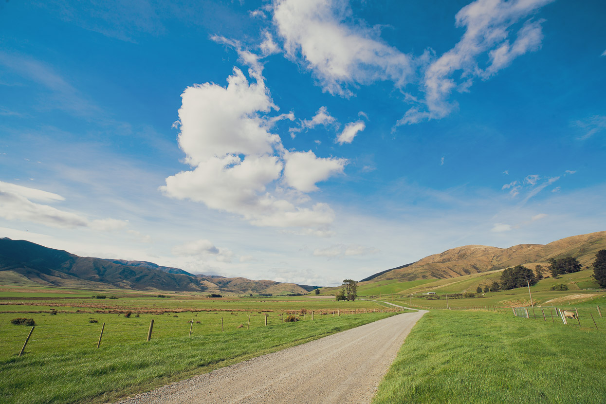
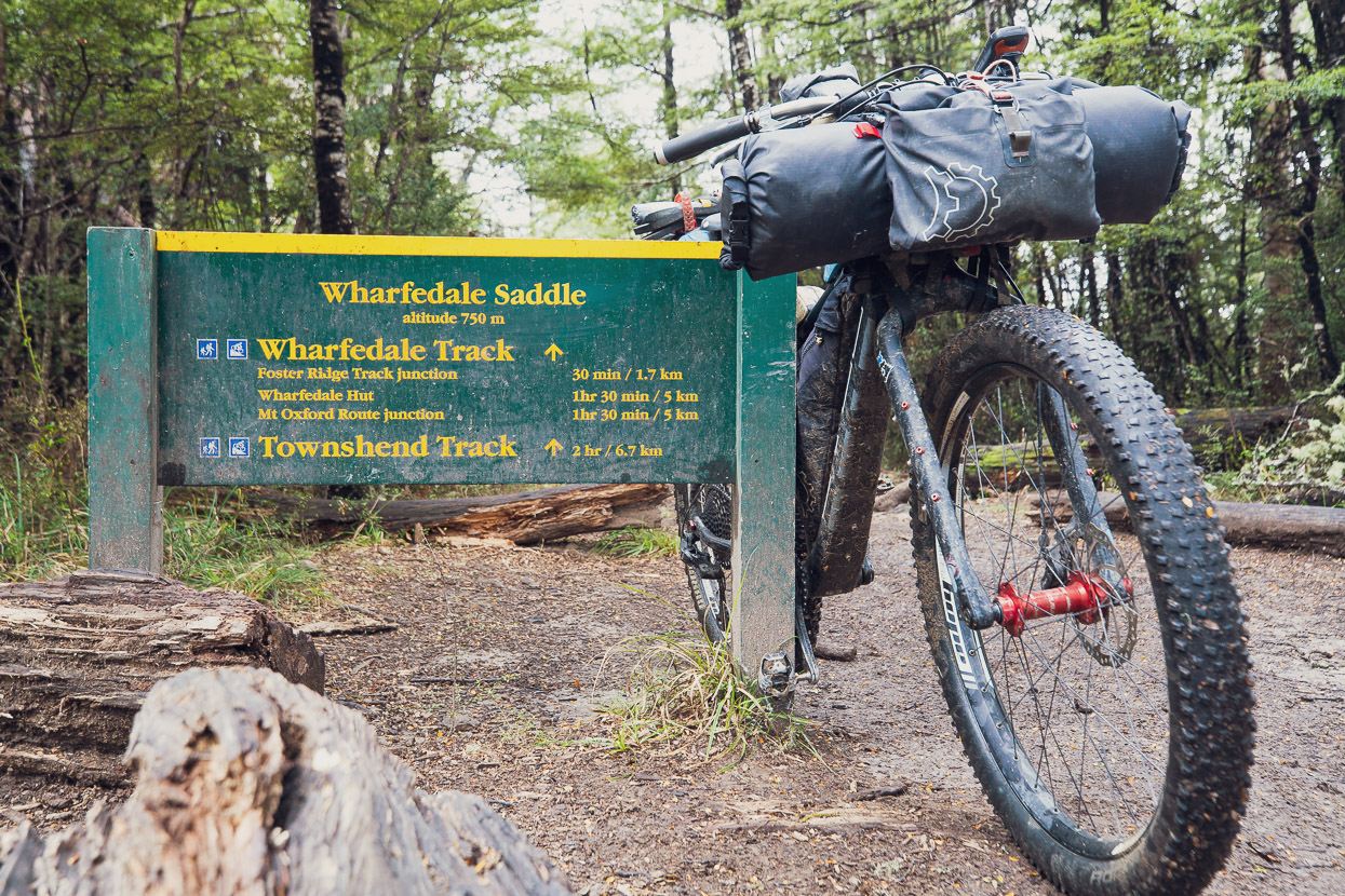
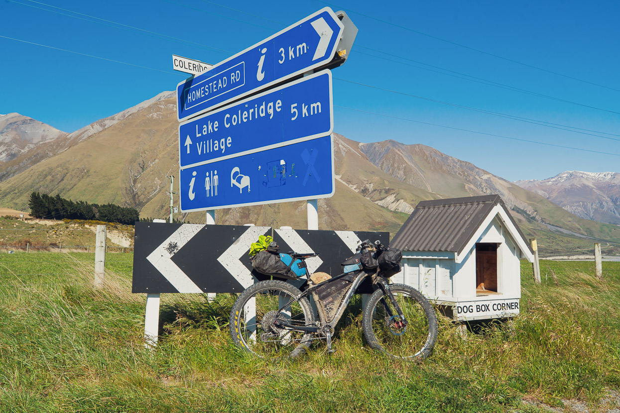
From Hawarden we followed back roads and then private farm tracks through Macdonald Downs to reach Okuku Pass Road and Lees Valley Road (This route is sometimes used for the Kiwi Brevet and you can call the station for permission to ride it). We had our sights set on Wharfedale Hut for the night, which is just inside the northern end of the Canterbury mountain biking classic, the Wharfedale Track.
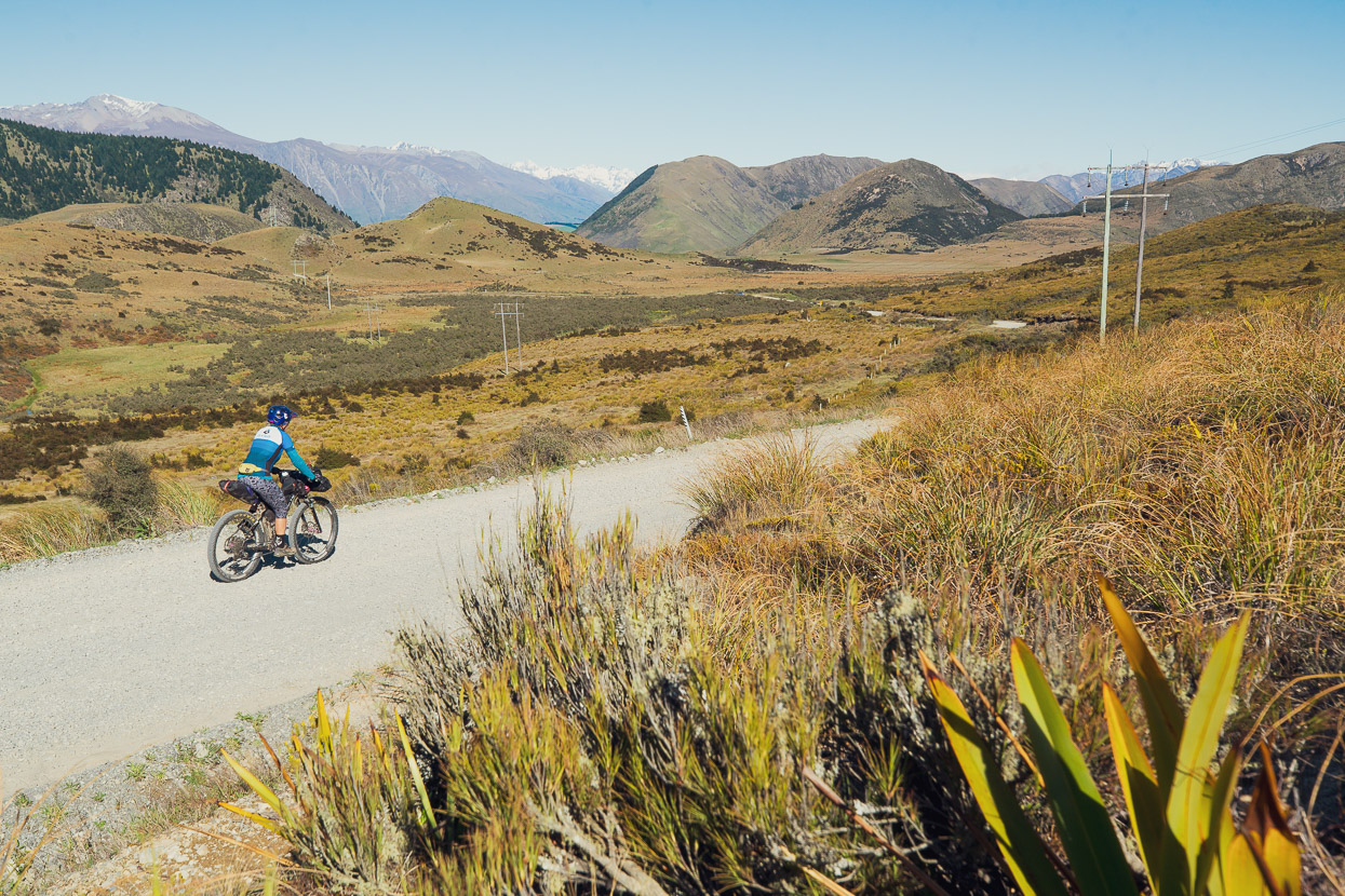
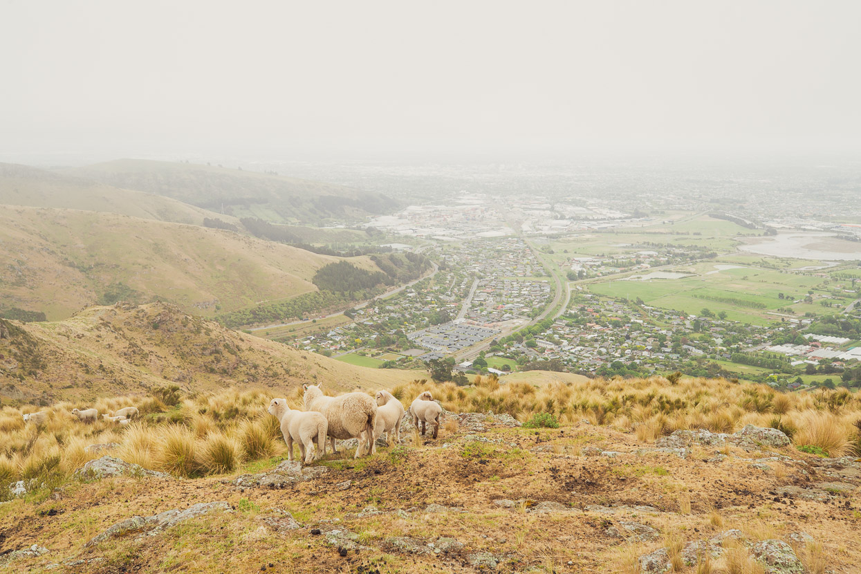
On the Wharfedale track the next morning we began to feel as if we were in our own back yard again. We’ve ridden this route many times and it’s a ride that is so essentially ‘Canterbury’, with its dry, open beech forest and views across the plains towards the Port Hills of Christchurch and Banks Peninsula.
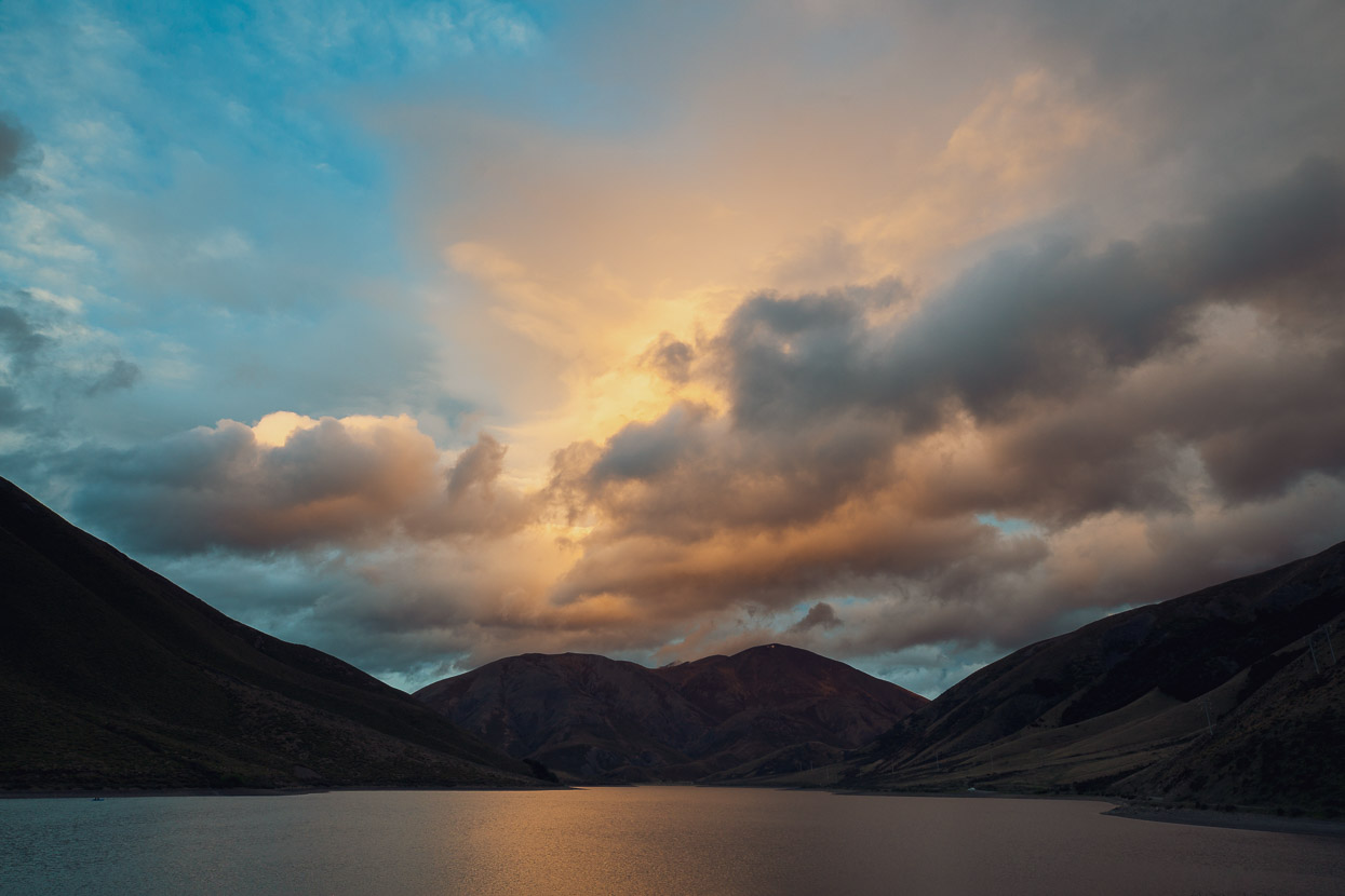
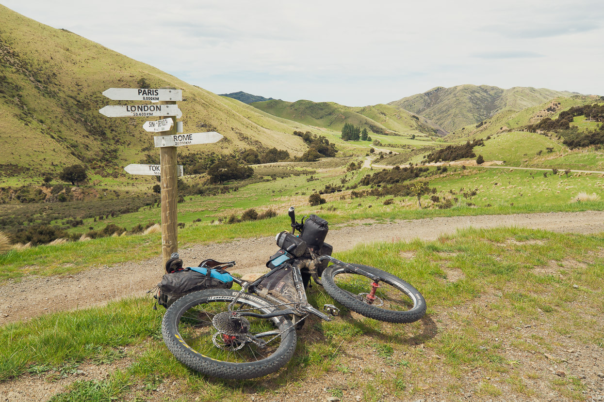
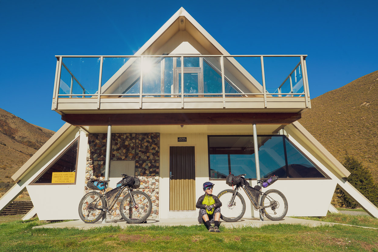
But once we descended to the plains the thought of following pavement into and through the city was a bit too much. So instead of riding east, we headed south for SH73 and the famous Sheffield Pie shop for a celebratory steak pie and custard square. A victory lap of sorts seemed to be in order, so we once more turned back towards the mountains and rode up Porters Pass to the beautiful alpine basin that’s tucked in between the Torlesse and Craigieburn Ranges. At the south end of Lake Lyndon, lies an isolated private lodge where we’d held a big going away party, over four and a half years earlier.
That night we’d filled the quiet lakeshore lodge with people and music had emanated into the valley. It seemed so long ago. This time, we sat outside the lodge eating a rudimentary dinner in reflective peace. 45,500 kilometres of cycling in 16 countries had passed by. So many extraordinary sights seen and welcoming people met, so much strange food, nights in the tent and subsisting on the basics of life. We weren’t the same people who’d left, setting out on an expected two year journey, only to be constantly tempted by curiosity, a sense of discovery of the world and ourselves and an apparently unquenchable urge to know what was over the next mountain range.
Arriving in Christchurch would be a formality. Foremost we were looking forward to seeing our closest friends again. But this was where the circle of that chapter of our lives became complete.
Do you enjoy our blog content? Find it useful?
Creating content for this site – as much as we love it – adds to travel costs. Every small donation helps, and your contributions motivate us to work on more bicycle travel-related content.
Thanks to Otso Cycles, Big Agnes, Revelate Designs, Kathmandu, Biomaxa and Sungod.


Wonderful hearing about your adventures, Mark and Hana. Stop by next time you’re going past Tapawera – no spare beds at the mo, but can offer hot showers!
Thanks Cornelia! Will do 🙂
Thanks Mark for another beautifully photographed and told trip. Brings back really great memories of my Aotearoa trip…except for the ferocious sandflies when I camped at Lake Rotoroa!
This looks unreal team! My partner and I are planning a last minute Christmas trip across from Australia and were looking for a Christchurch to Welly route, I think we may have just found it, thankyou!
No worries! I’m glad it’s helpful. It is an excellent route – just keep in mind that the Hope Kiwi Track involves sustained hike a bike/technical singletrack with frequent dismounts (it’d be about a full day with light-ish bikepacking/touring loads). It’s hard work, but it’s also beautiful with some great singletrack and Hope Kiwi Lodge is a great overnight spot.
Great photos and details of the journey. Many thanks
Thanks Richard!