
| Friends in High Places |
Between finishing Ruta de los Seis Miles in Guandacol and arriving in Mendoza (where I’m writing this post) we crossed the Andes two more times via Pasos Pircas Negras and Agua Negra.
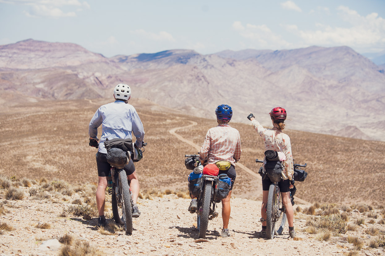
The first crossing took us back to Copiapo, Chile. We were familiar with roughly 40km of the Pircas Negras pass having covered it while on the Ruta de los Seis Miles with Felix, but we were eager to see a bit more of the stunning puna landscape that this road traverses. The second crossing was in the company of our good friends from New Zealand, Chris and Tam. With them we crossed Agua Negra from La Serena, and then linked into the classic Cerros de Mendoza bikepacking route, finishing our ride with them in the city of Mendoza.
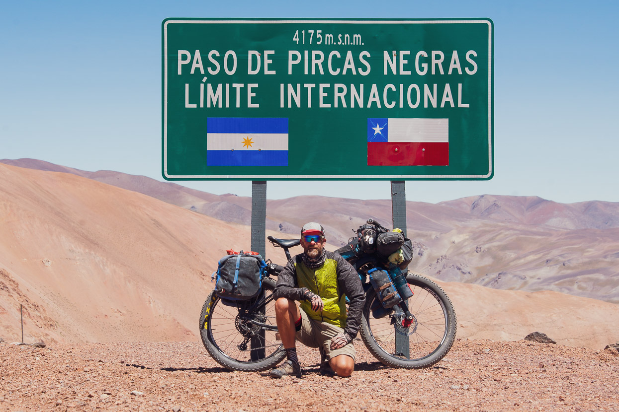
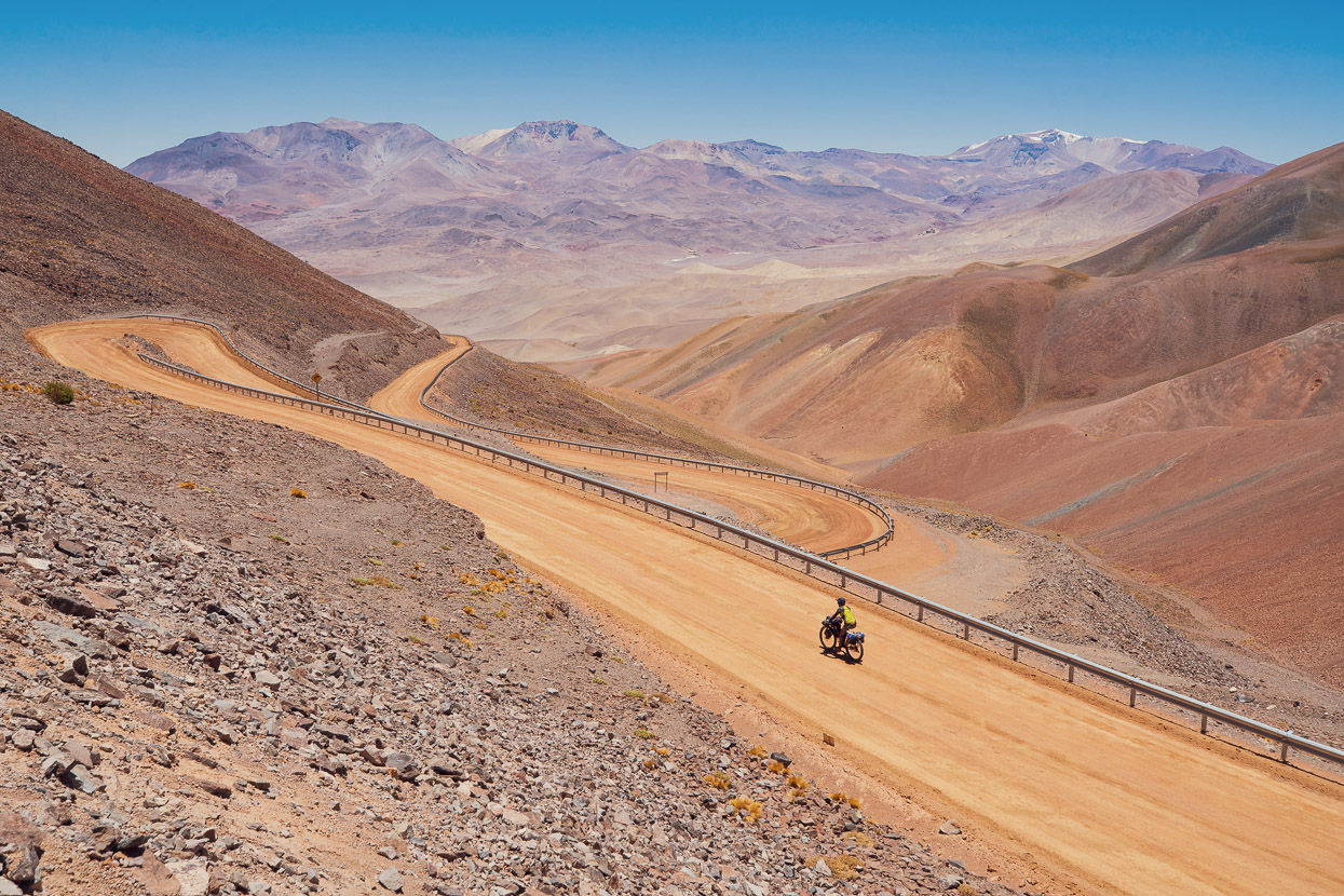
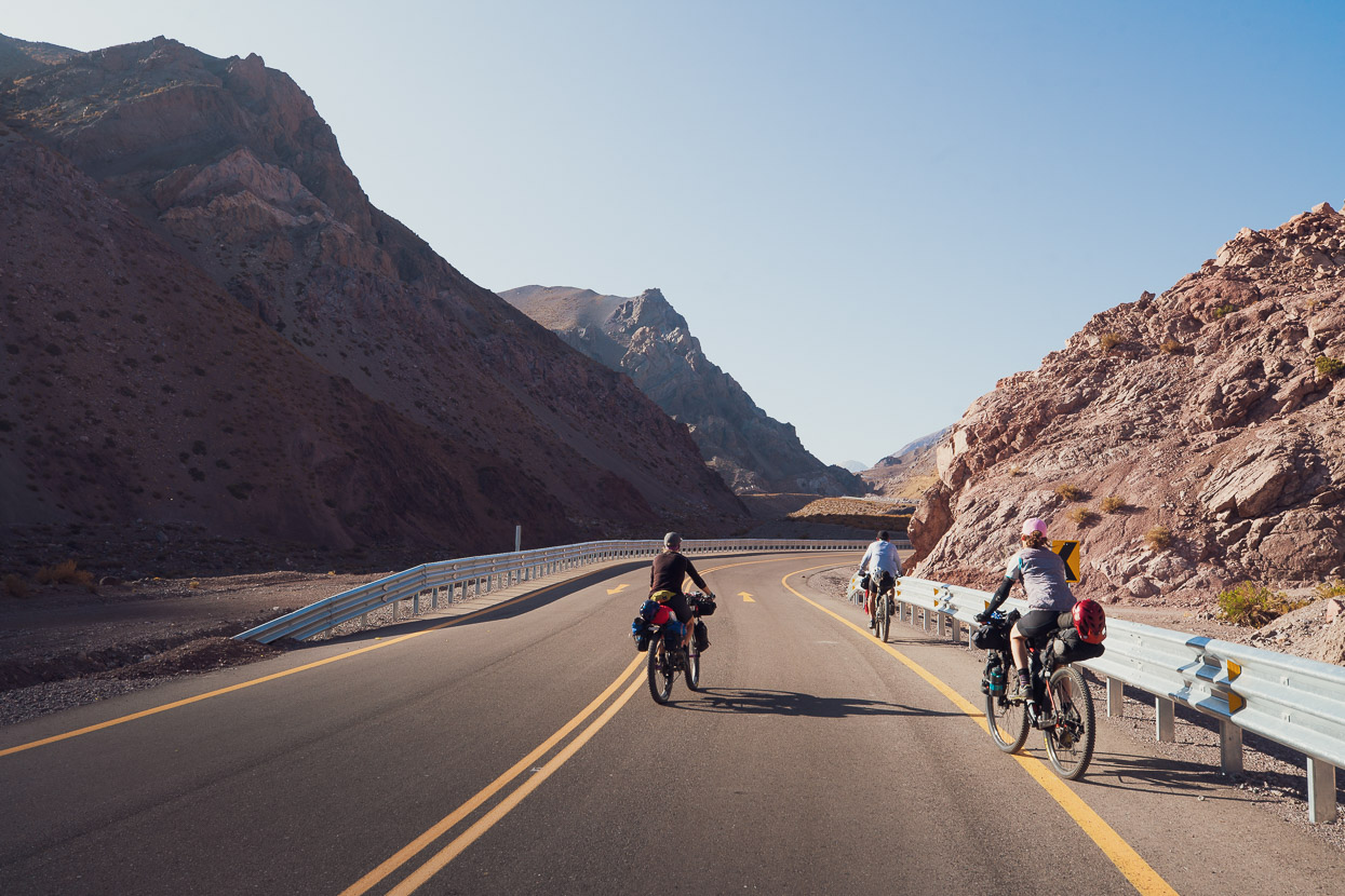
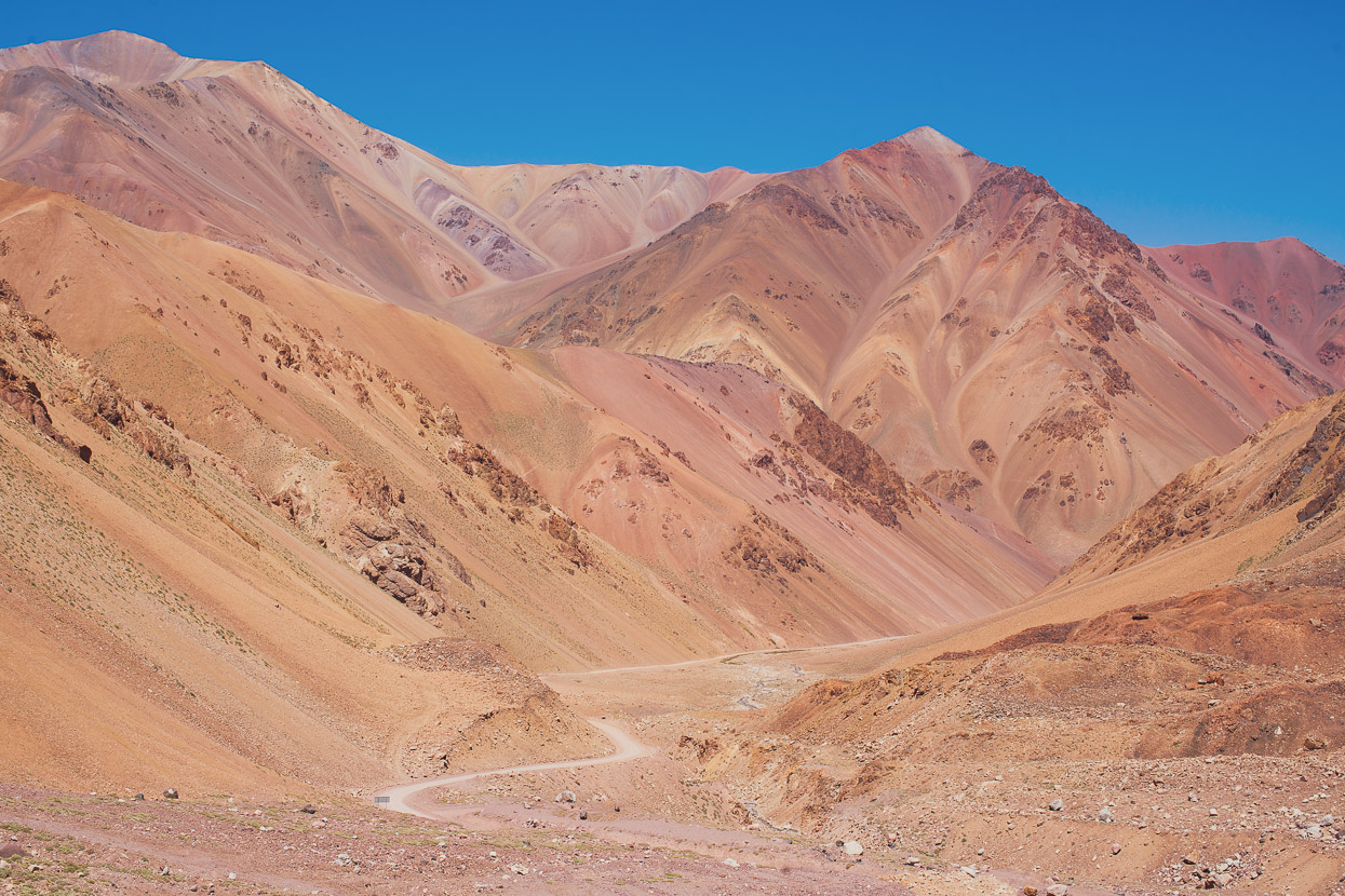
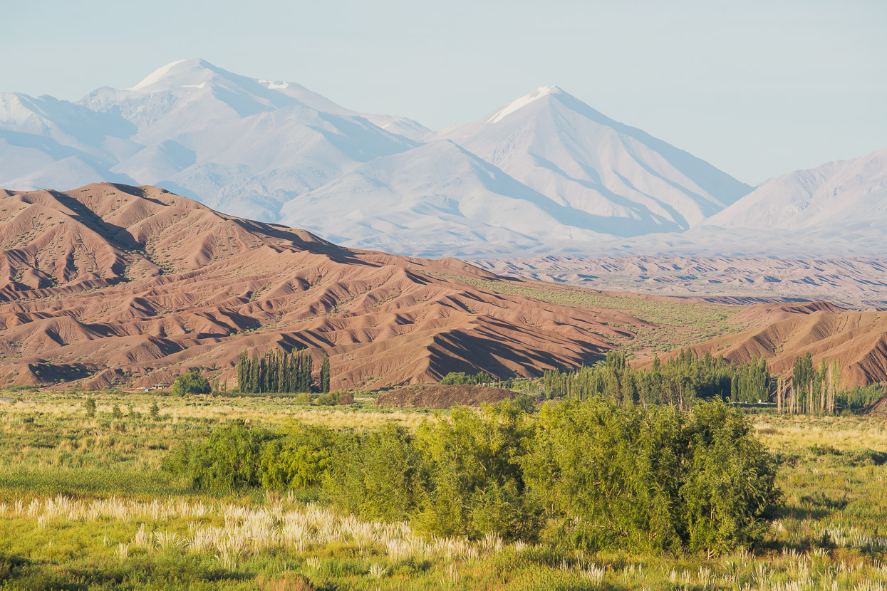
Both passes have some incredible scenery. In summary, Pircas Negras is probably the harder of the two because it stays higher for longer, requiring for most people to camp at least one night over 4000m, which is a challenge if you are not acclimatised. Pircas Negras is very quiet (i.e. one vehicle per hour on average, or less), and has the benefit of four historic refugios should you be caught out in a thunderstorm or be seeking shelter from the feisty afternoon winds. The road is only paved for roughly 40km along the high part of the pass between the joint immigration office and Laguna Brava.
Agua Negra is a busier road, but is still quiet enough once you are past Vicuña (on the Chilean side) to be a very pleasant ride. The western side of the pass is especially nice, with great views of the glaciated peaks of Cerro de los Bañados (5324m). Roughly 60km of the route, over the highest part of the pass, is unpaved. After climbing steadily to nearly 4800m it then descends rapidly, making it less committing.
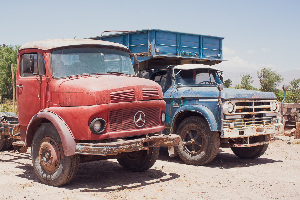
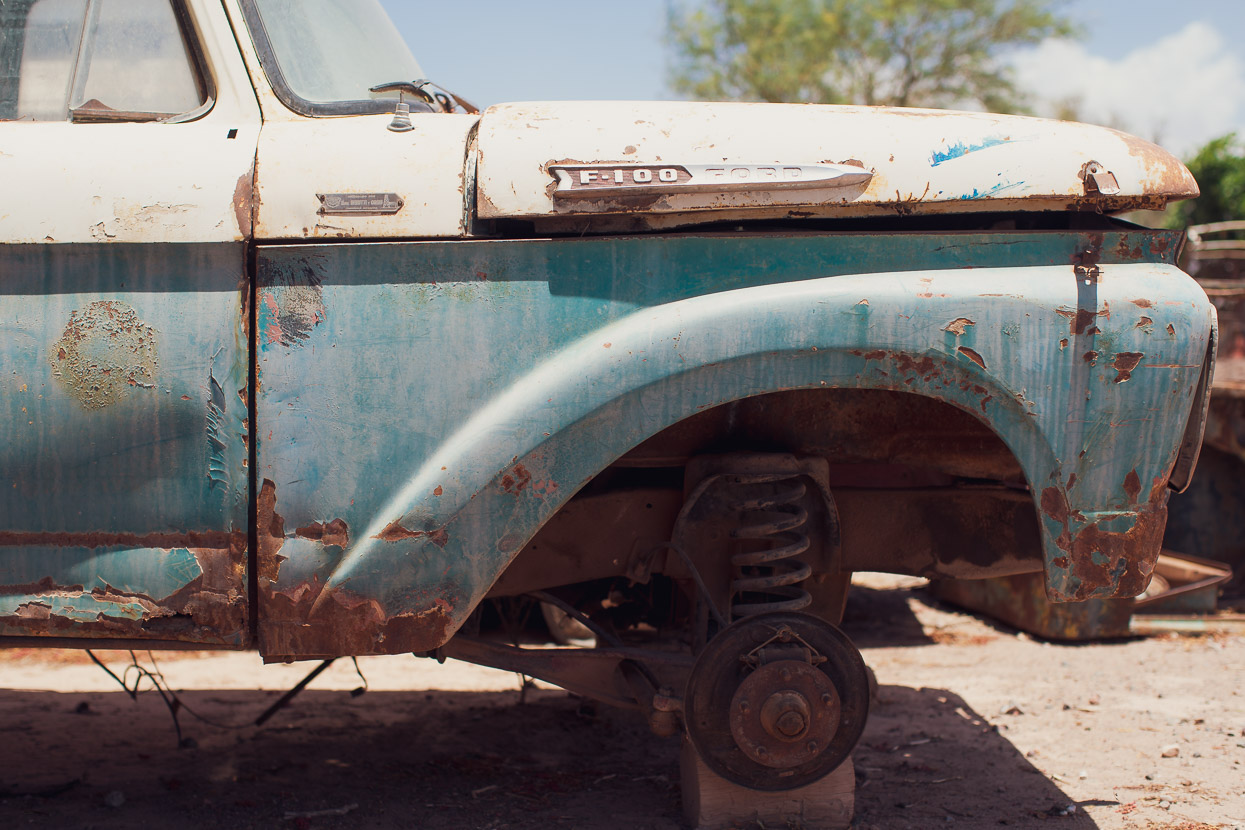
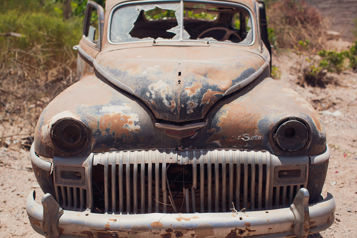
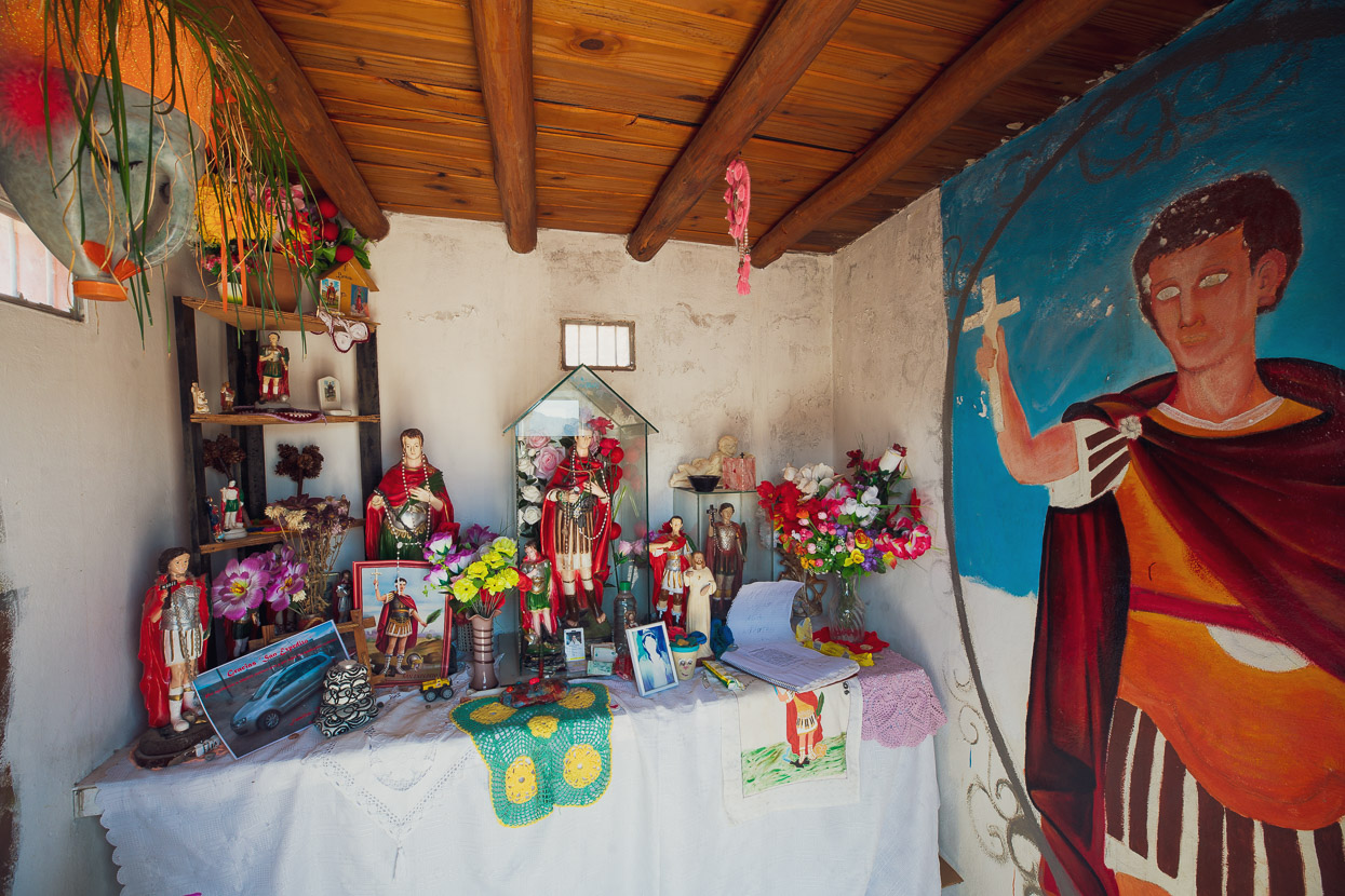
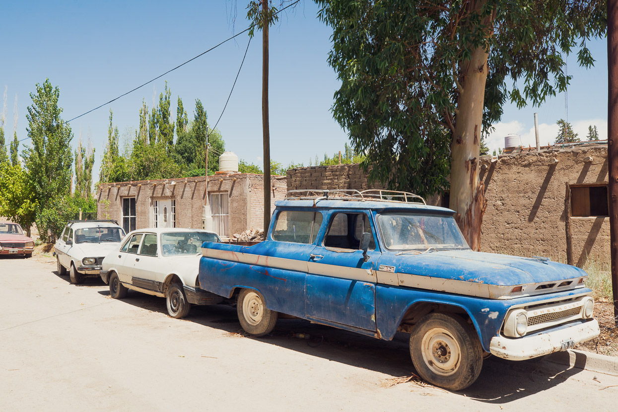
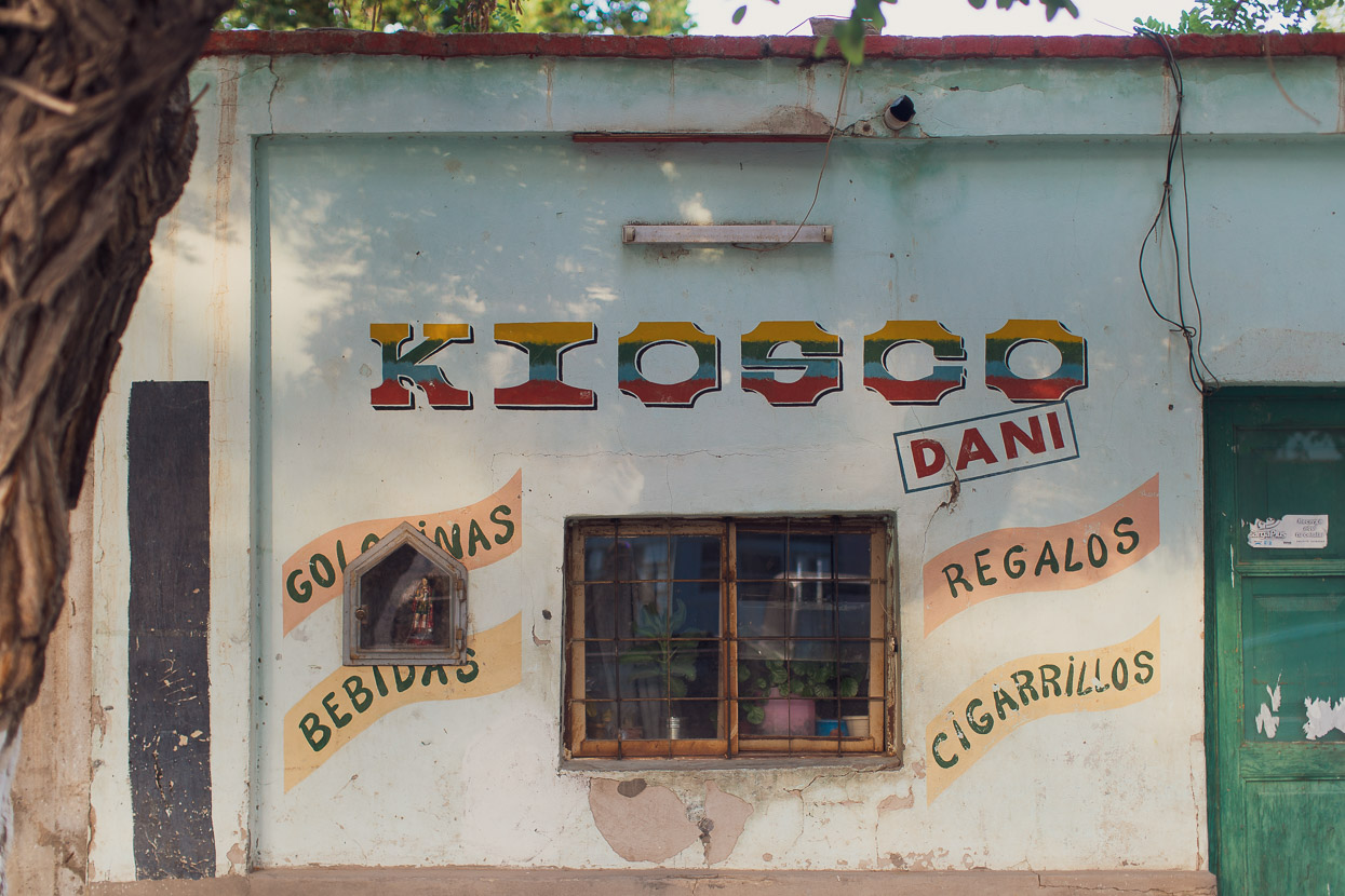
Our experience of Argentina was so overwhelmed by the incredible locations we found ourselves riding in on the high puna that I’ve said little about the country outside of the puna so far. But suffice to say we’ve really enjoyed Argentina. While a developed country with good infrastructure, Argentina also retains strong traditions, and even here in Mendoza an essence of retro. In the small towns vintage North American and European cars are omnipresent, although sometimes not operational. And if you’re looking to buy ham and cheese to fill your fresh bread roll, you’ll be buying it by the gram, freshly sliced.
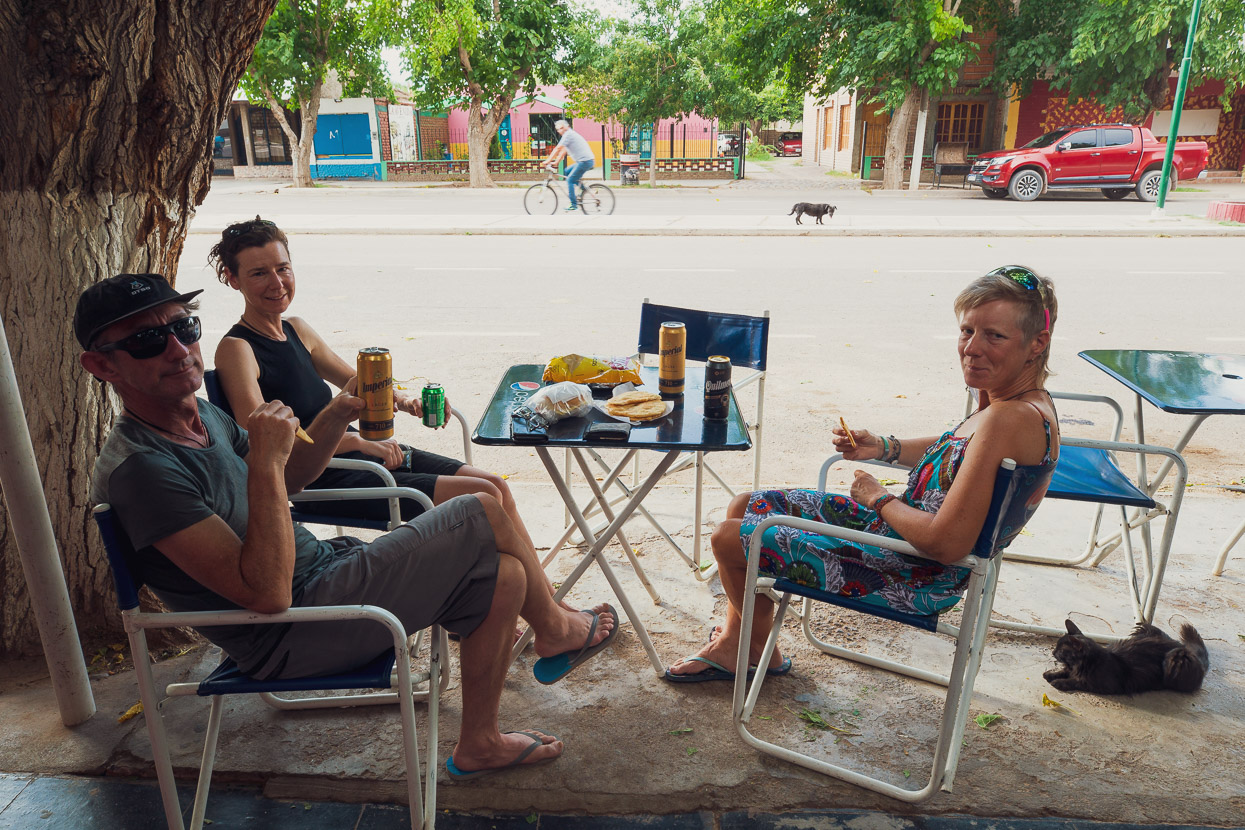
Days seem to revolve around the afternoon siesta, the start and finish of which varies depending on which hot and dusty town you find yourself in. The hotter the town, the later in the evening the siesta ends, and if you’re looking for dinner it’s not even worth hitting the street until at least 8.30pm.
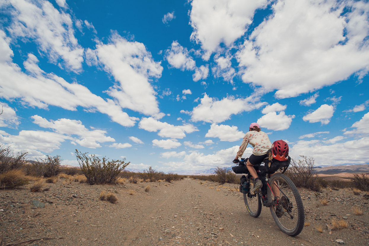
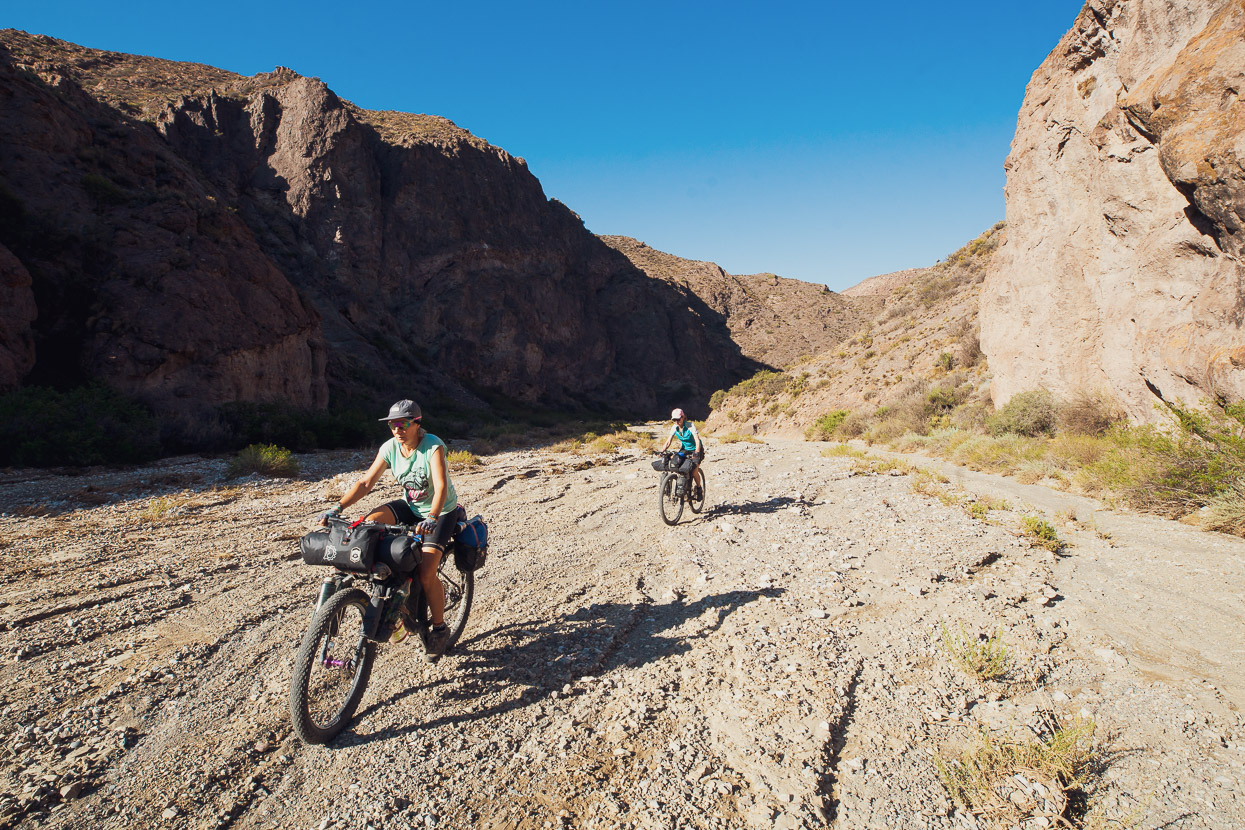
Leaving Guandacol our legs felt almost as bad as they had done leaving Fiambala to start Ruta de los Seis Miles Sur. Somehow the fatigue of a hard month of puna riding had stagnated in our legs, leaving them prone to a flood of lactic acid as soon as we rode harder than cruising pace. The heat didn’t help either: from Guandacol to Jagüe (two and a half days away) it was at least 36c each day and without a touch of humidity. In these conditions you don’t sweat, because it’s evaporated from your pores before droplets can even form. The water in our bottles heated to shower temperature, which does nothing to quench your thirst and just leaves you feeling bloated.
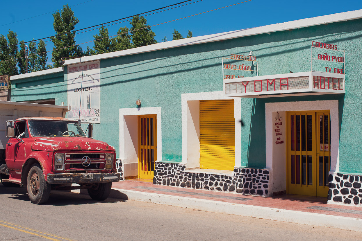
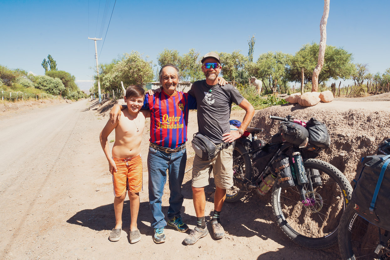
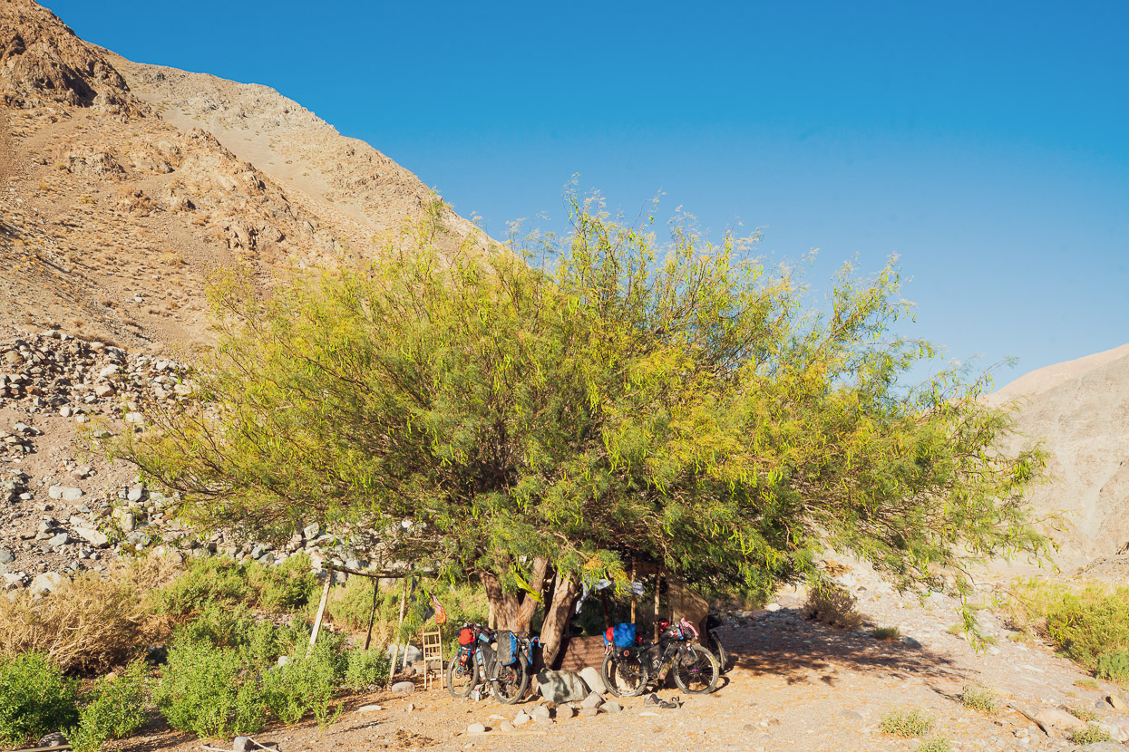
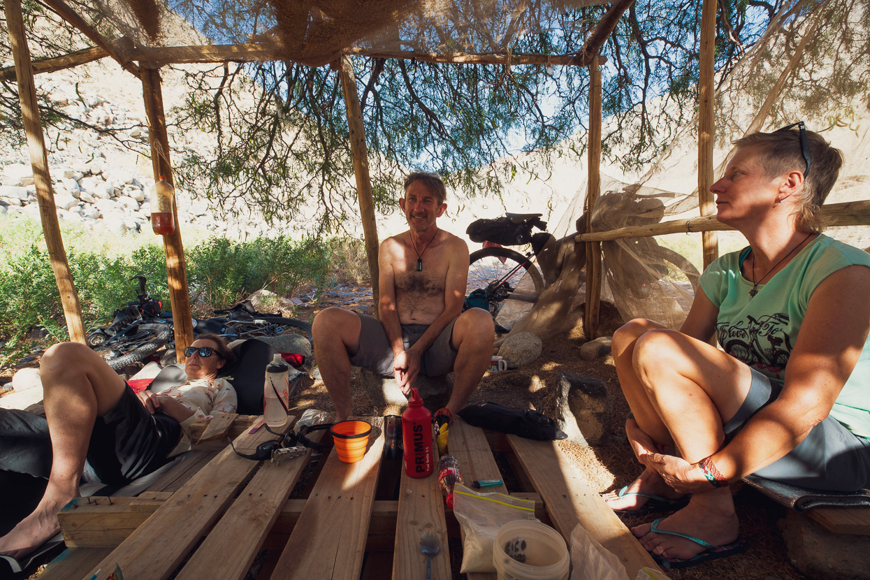
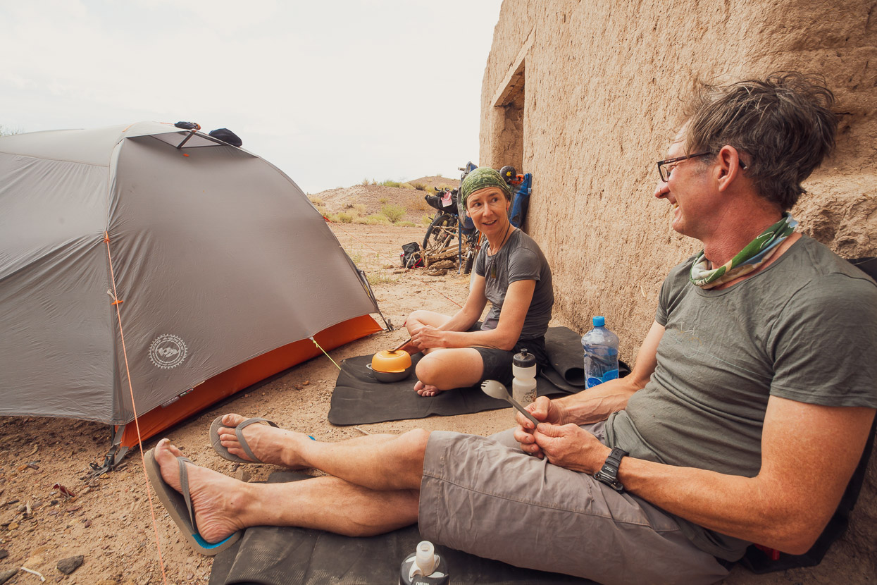
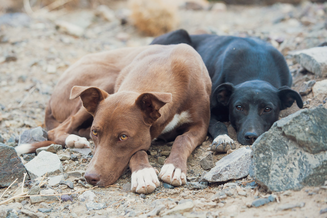
In Jagüe (above) a kind man took us into his lounge for some shade one afternoon and refilled our bottles with water from his fridge. I drank a litre of cold water while we sat there. After 20 minutes we rode down the road to a small tienda and bought a 2.5l bottle of Fanta and a packet of chips. The Fanta was completely gone in 30 minutes.
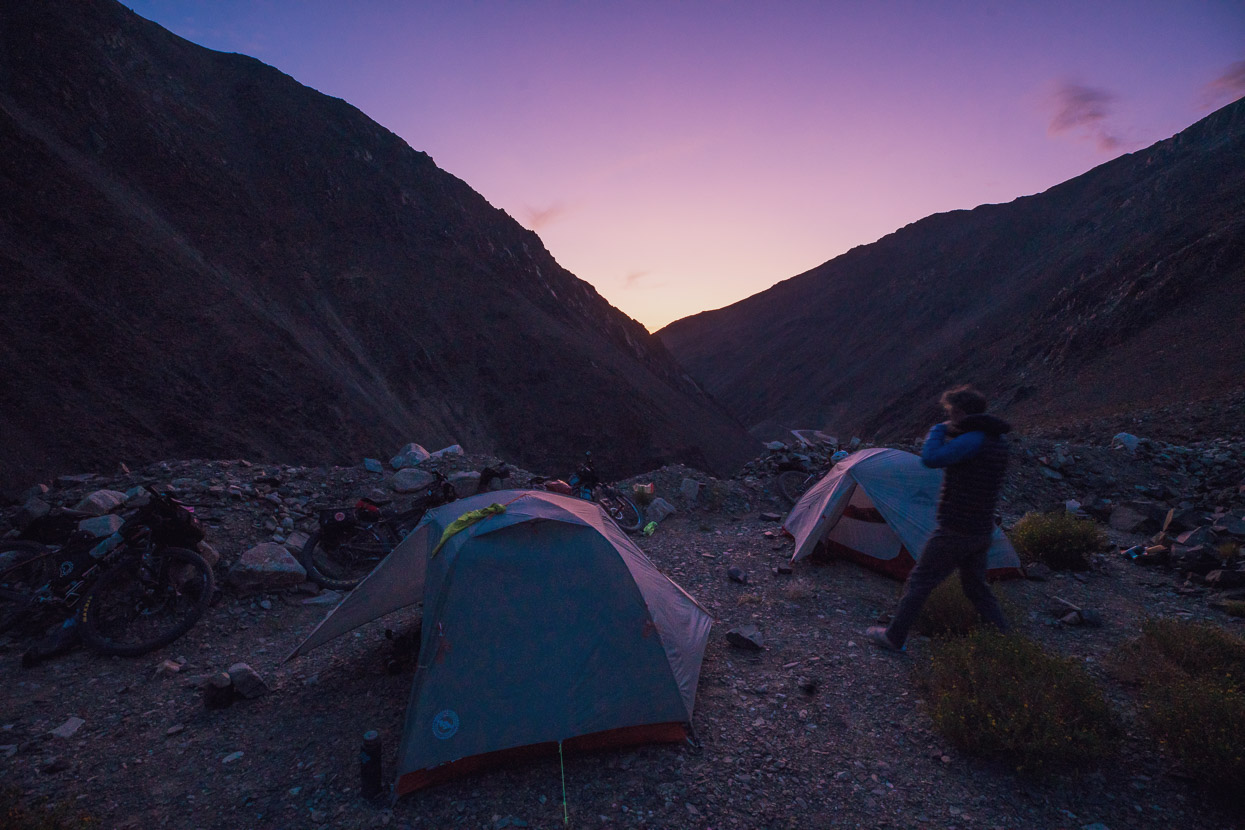
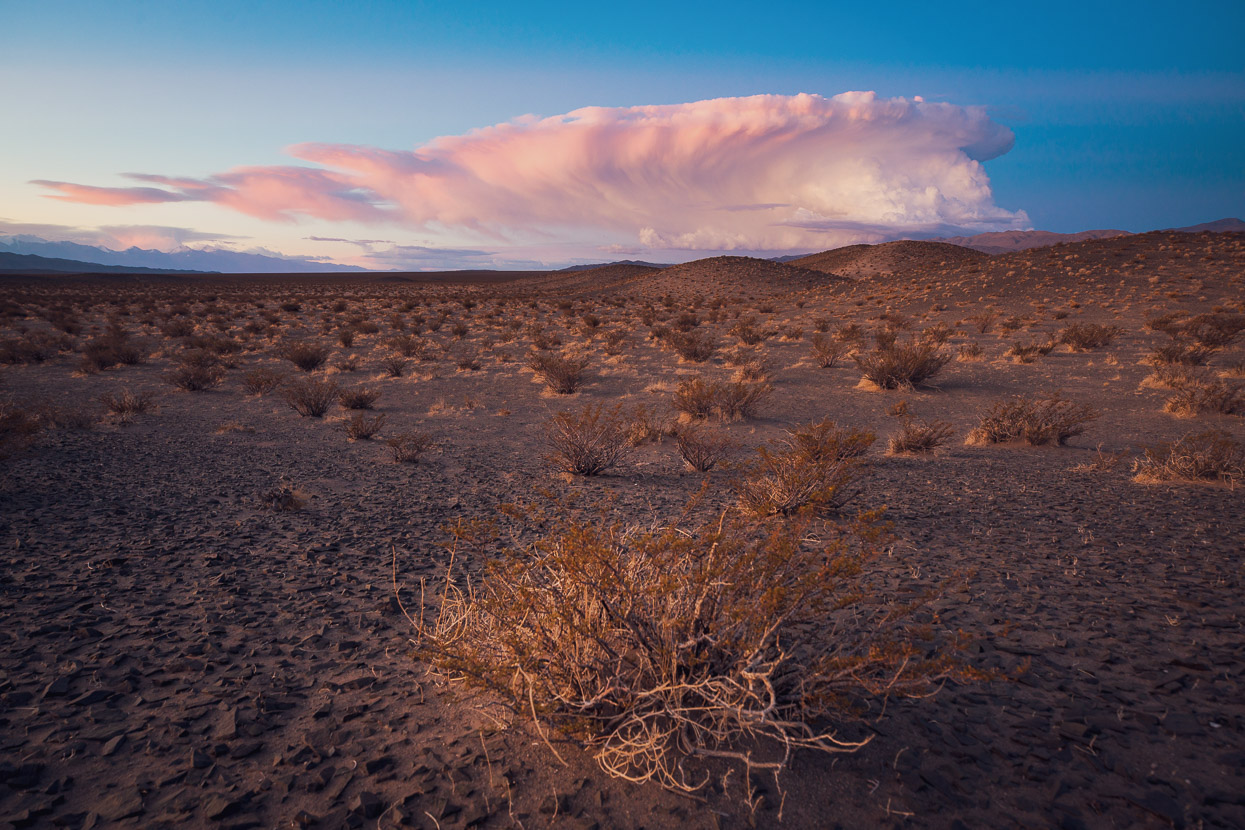
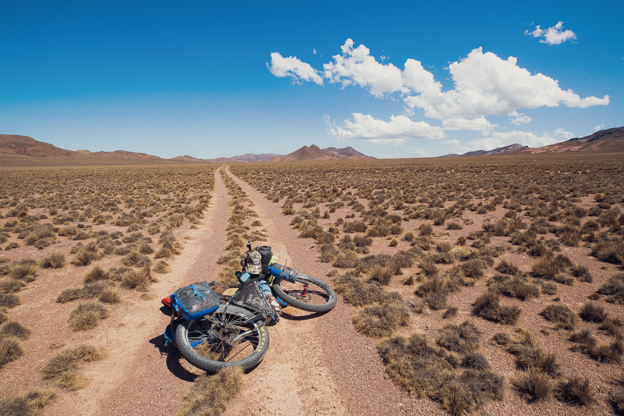
That night we camped in the desert at 2400m, shortly into the Pircas Negras climb. It was so warm, even at 9pm — and peaceful — that I sat and cooked dinner in my undies.
The next day we climbed 2200m back to the puna. It was a long and hard day on unwilling legs, but at the same time it felt good to be back in a landscape with which we now felt so familiar.
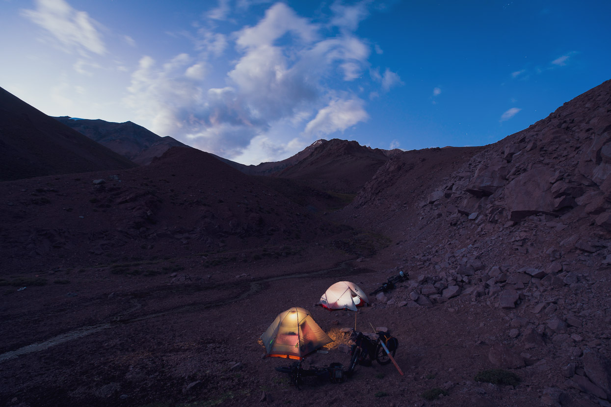
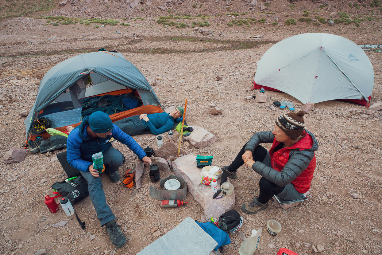
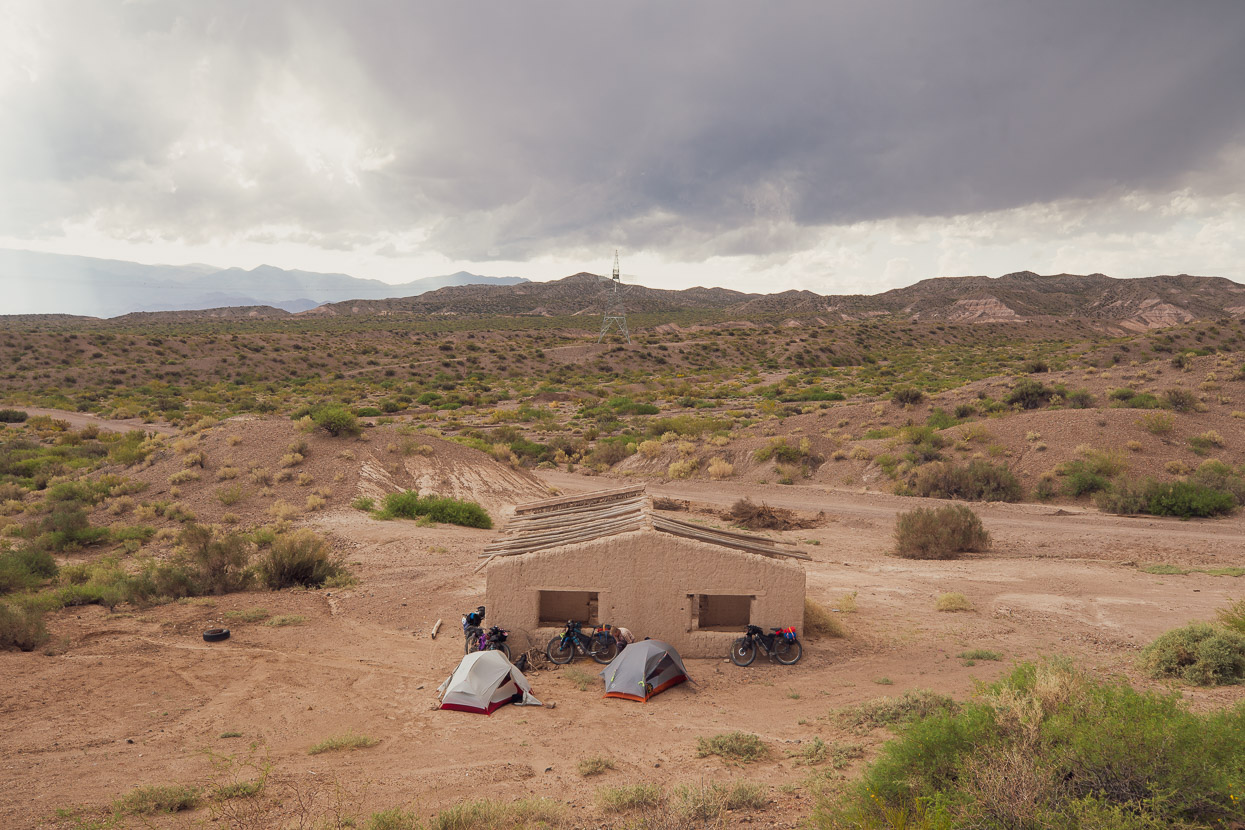
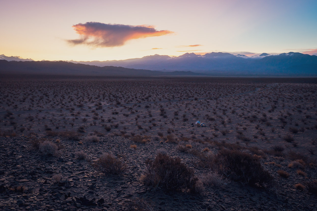
We camped that night in the animal corral outside the Laguna Brava refugio. Exhausted from the previous couple of days of heat and the day’s very long climb we collapsed into the tent and decided not to set an alarm. The choice had either been to carry water for the night on the climb and have the option to camp anywhere, or go lighter and make it to a water source just before the refugio. We’d committed to the latter, which had made for a day of nearly 8 hours moving time.
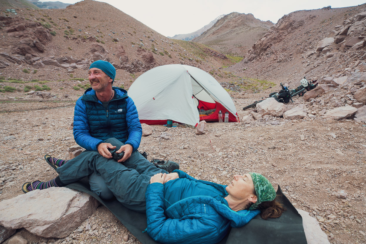
In the morning we woke to sun warming the tent, but by the time we’d breakfasted and packed the westerly surprised us with an early arrival. We rode the 42 paved kilometres to the immigration post battling slowly into a stiff headwind. Already familiar with the post having spent the night there on the 1st January (it’s on Ruta de los Seis Miles) we went through the registration paperwork and were given a bed for the night. The open wifi there is fast and the hot showers luxurious.
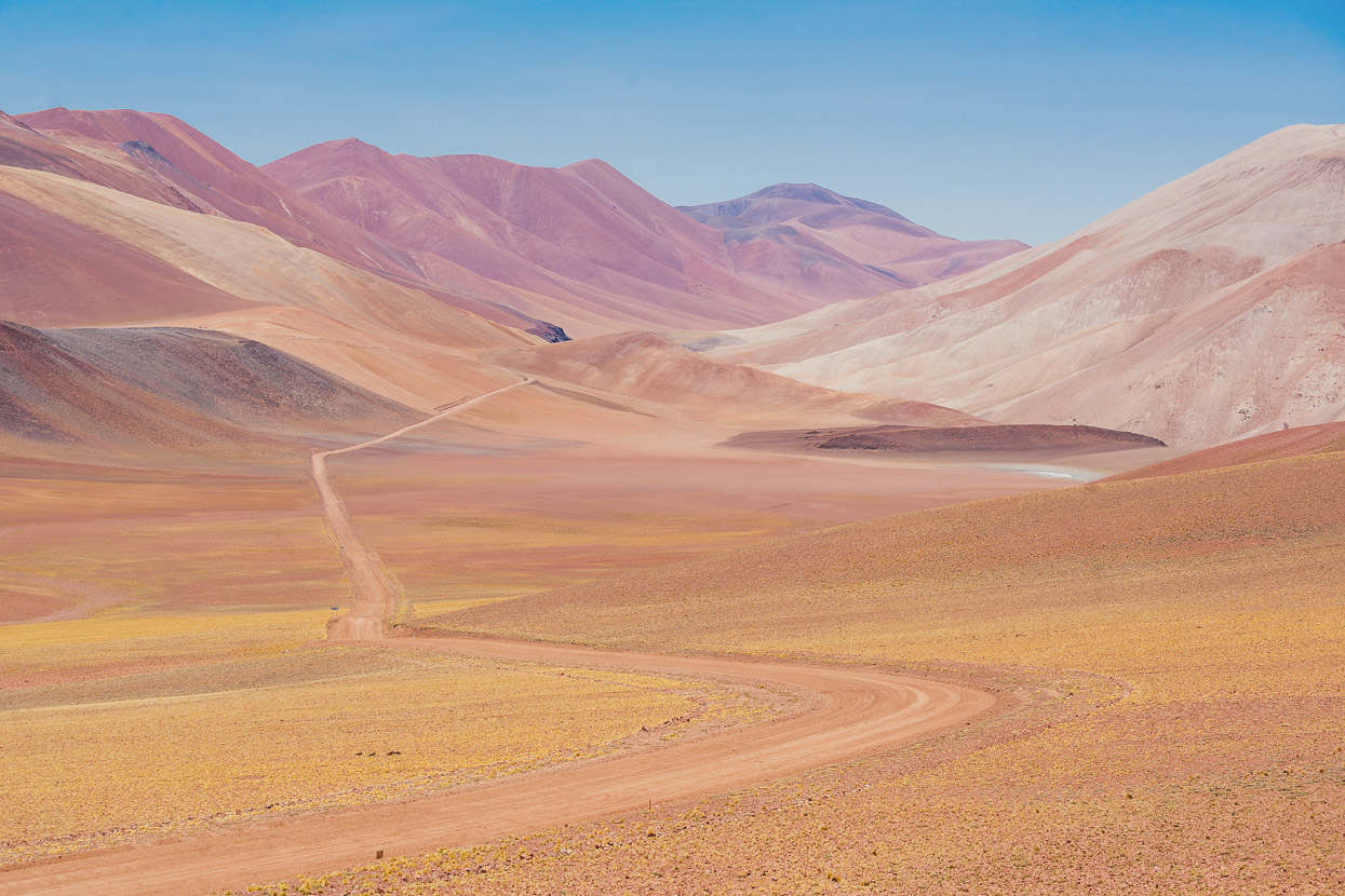
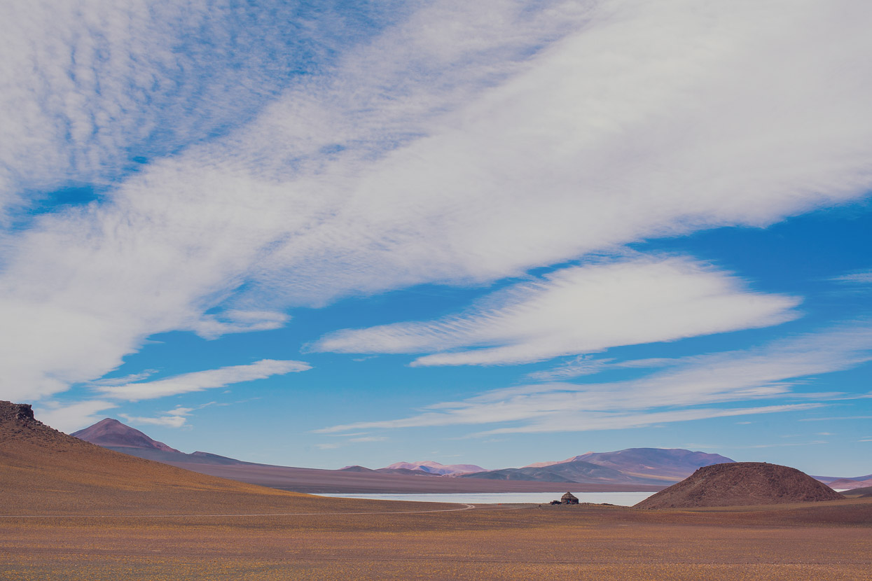
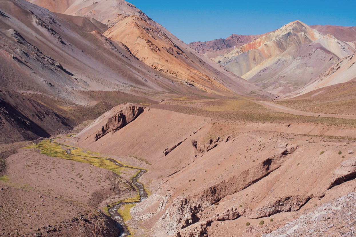
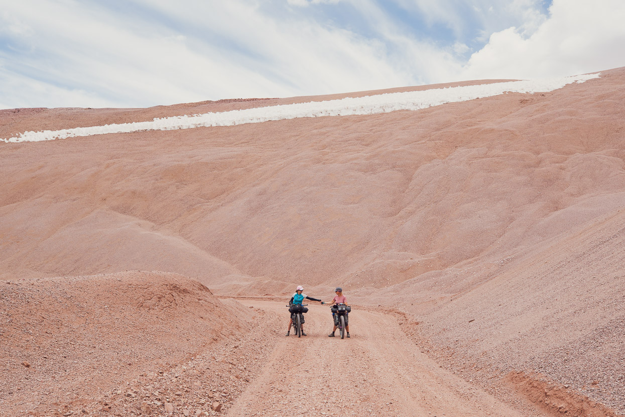
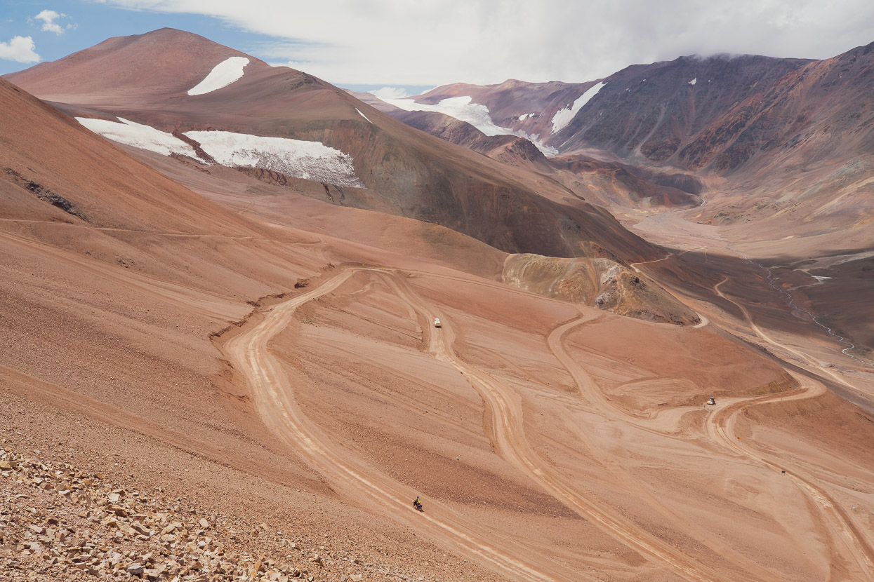
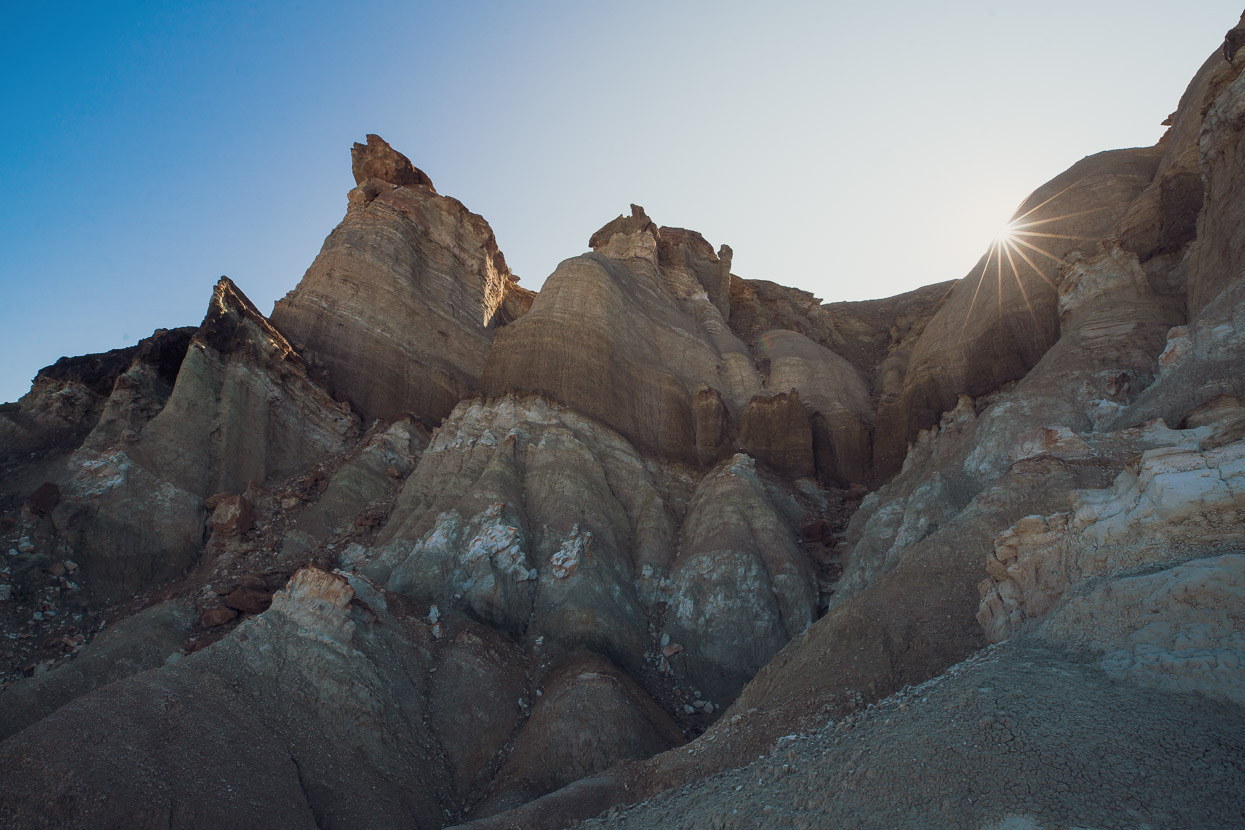
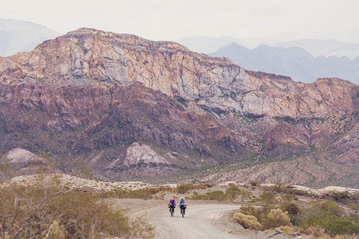
In some ways, after a few days respite from this remarkable landscape, the colours seemed even brighter. A tip for anyone else riding this pass: the very best bit of scenery is the basin between the border and the actual pass at 4250m (the final highpoint if heading west).
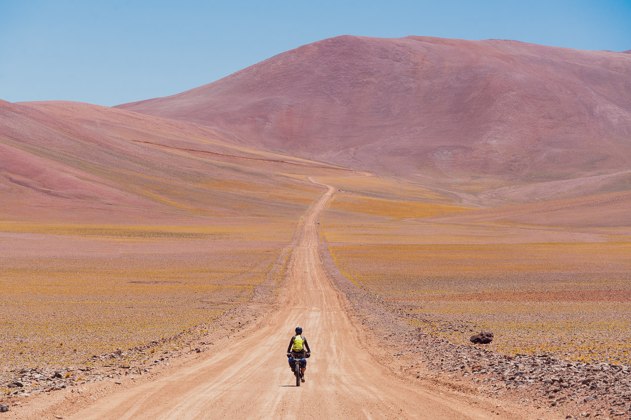
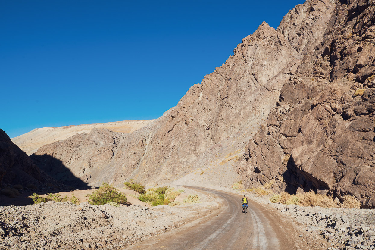
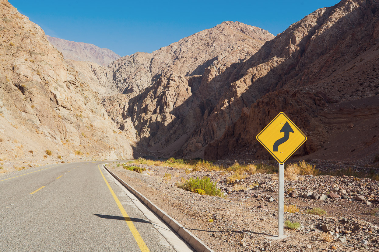
From the pass we descended nearly 70km down valley, but the afternoon canyon winds were strong, forcing us to pedal a lot. The canyon is barren, dry and uninhabited until you get closer to La Guardia where there are sporadic campamentos for goat farmers and a little bit of mining traffic.
This region of Chile is incredibly dry and barren, as is much of the central west coast of South America. The cool Humbolt ocean current and the height of the Andes creates a thermal inversion whereby the combination of very cool air at sea level and stable warmer air higher up results in coastal fog, but very little precipitation. Little moisture makes it inland and rainfall is extremely rare in some places. It’s this phenomenon that’s responsible for the Atacama Desert and the dry puna. Much of the region is actually in a double rain shadow as the Andes also block moisture from the Atlantic watershed.
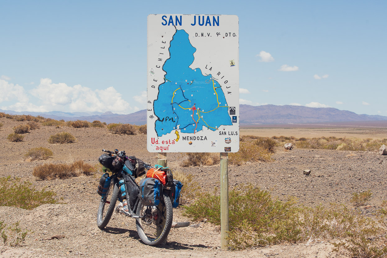
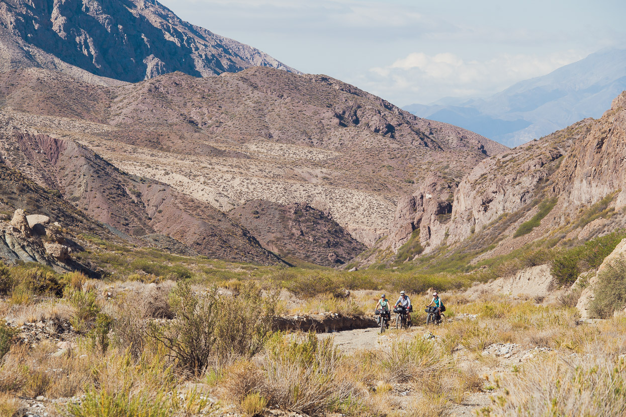
We ended our Pircas Negras leg of the journey at the mining town of Copiapo. On a deadline to meet Chris and Tam in La Serena 330km to the south, and not being particularly excited by two or three long days of four-lane highway riding, we decided to catch the bus. Although we pride ourselves on being ‘EFIers’ (every f••king inch) we don’t feel guilty because we seldom seem to actually ride in a straight line south. If you tacked our detours and side trips onto the end of our red line, we’d be in Ushuaia by now!
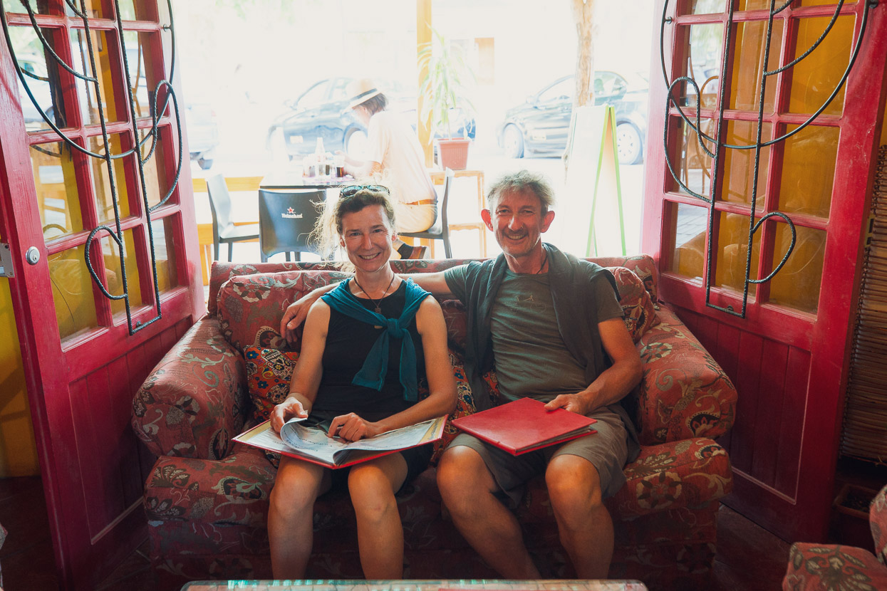
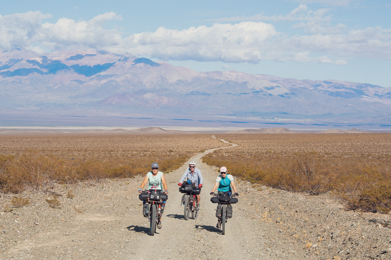
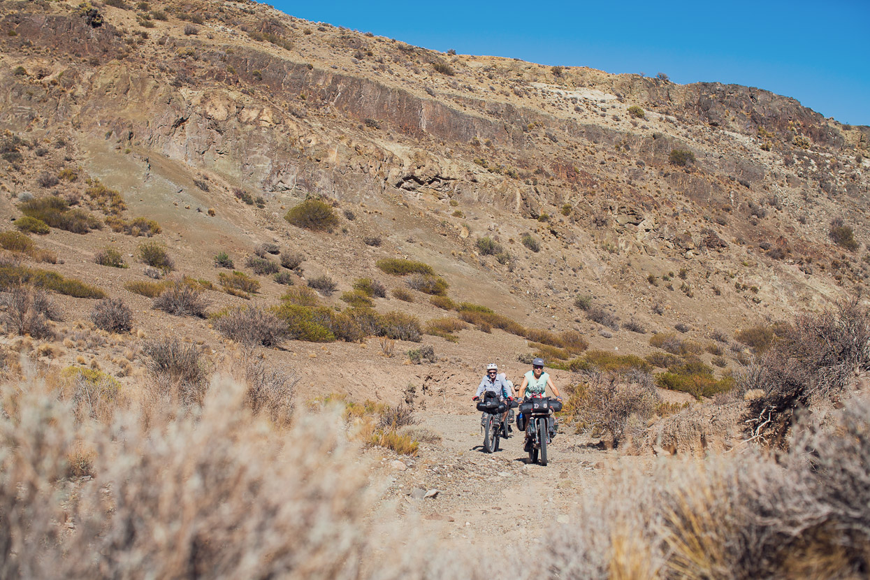
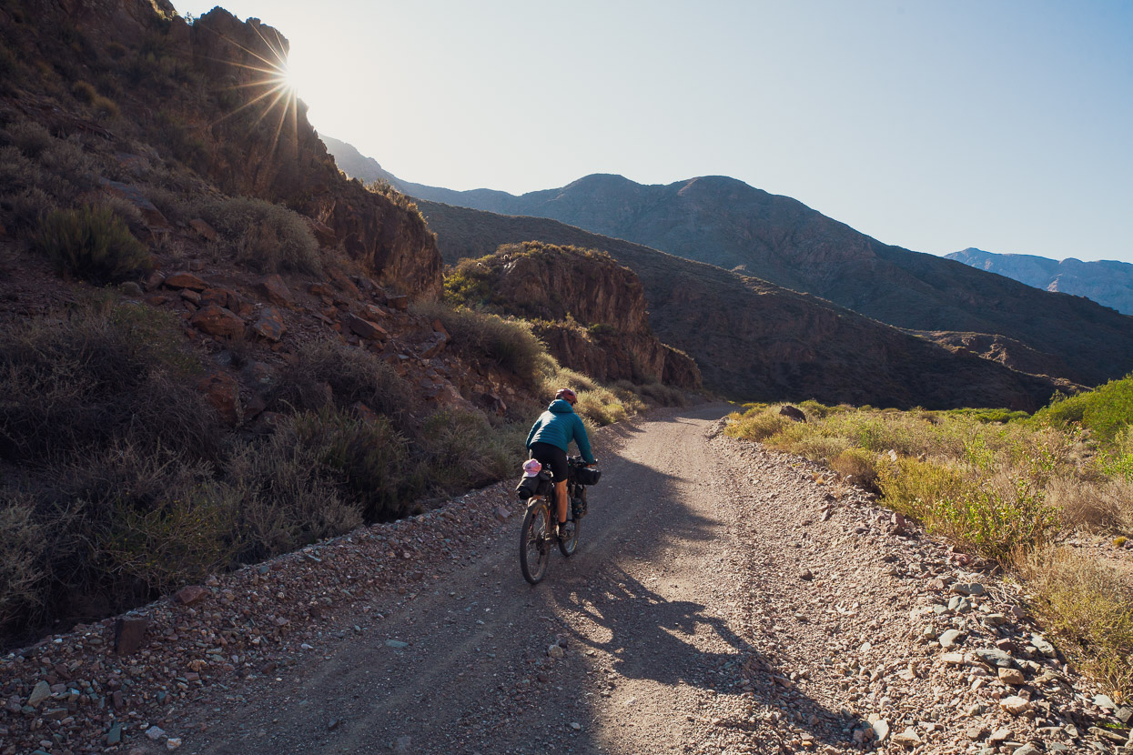
After a couple of nights on the outskirts of La Serena with an amazing Warm Showers host (thanks Germán) we moved into the city and met Chris and Tam fresh off their long journey from New Zealand. We spent a day in preparation and then began the very long climb to Paso Agua Negra. The challenge that lay ahead of Chris and Tam was coming from sea level in NZ, to sea level in Chile and then cycling up a single climb to nearly 4800m. Unlike all of the other major road passes between Chile and Argentina, Agua Negra follows the same valley all the way to the pass in one unbroken ascent.
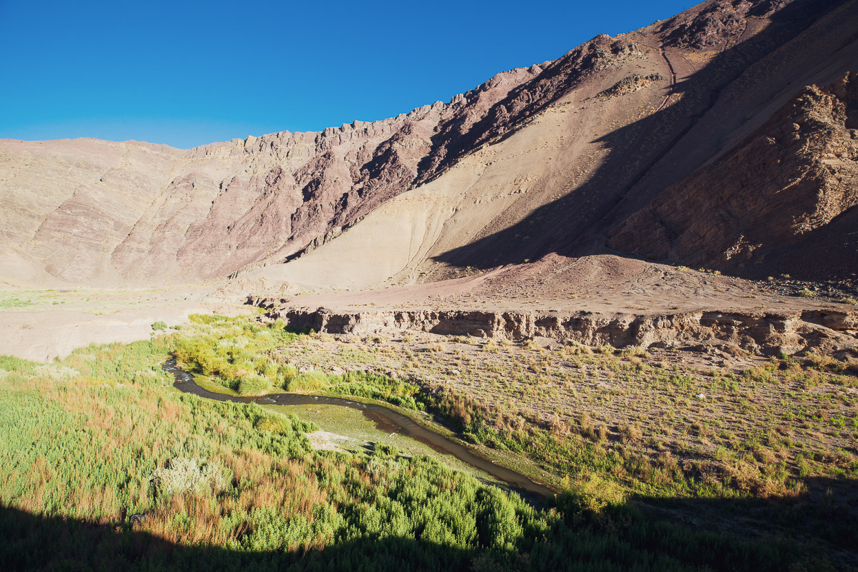
We spent the first night in Vicuña after 64km of gentle climbing. Vicuña’s a very pleasant small town and, like many towns in the west Andean foothills, is founded on both mining and the wine industry. The valley floor is extensively irrigated and somehow vineyards sprawl their way up the impossibly arid looking canyon floor, sometimes extending well into the side valleys and up steep slopes.
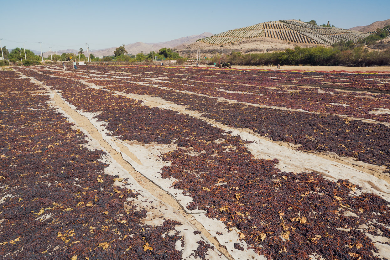
Not all grapes make it into a wine bottle though. The roasting sun was drying these into sultanas.
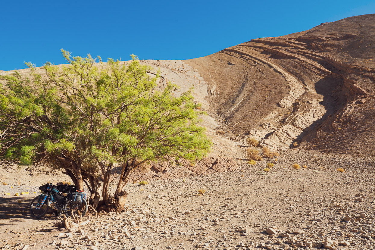
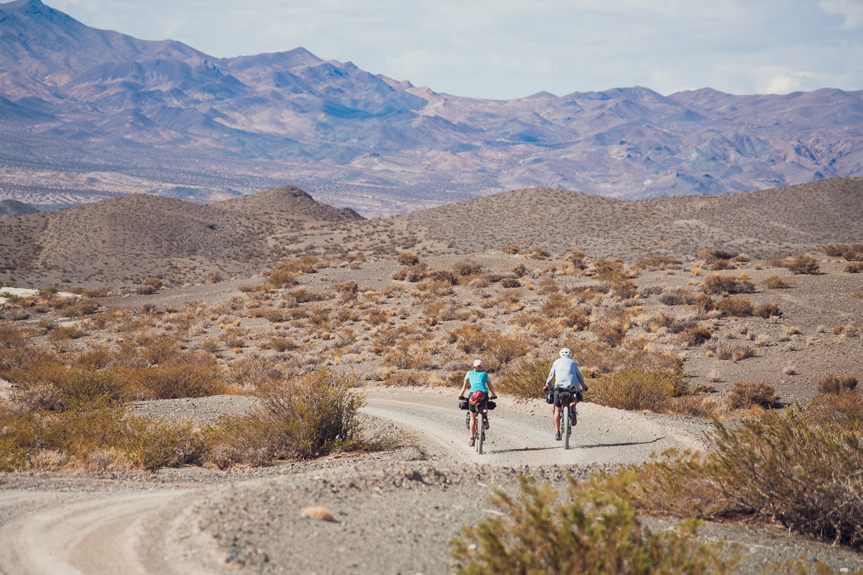
Past Vicuña the traffic is significantly less; just the odd tourist or mining vehicle and the scenery is dramatic as the road gradually eases its way up the canyon. We stopped for the night after 77km and 1400m of climbing. Good campsites and shady/sheltered spots are few and far between so when we saw an abandoned goat farm and a rare tree we made good use of its protection.
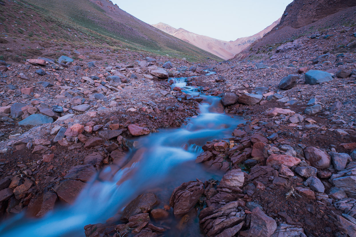
Cautious of gaining height too fast with our unacclimatised compañeros, we climbed from 1800m to 2800m the next day and camped alongside a nice clear stream. There was little shade from the fierce afternoon sun, so like lizards to a crevice we homed in on the biggest boulder we could and made the best of its shelter. It blocked the strong westerly at least.
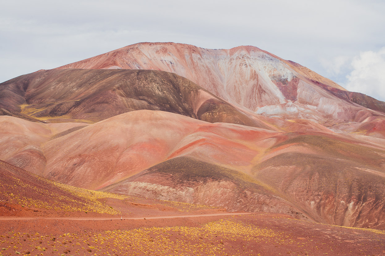
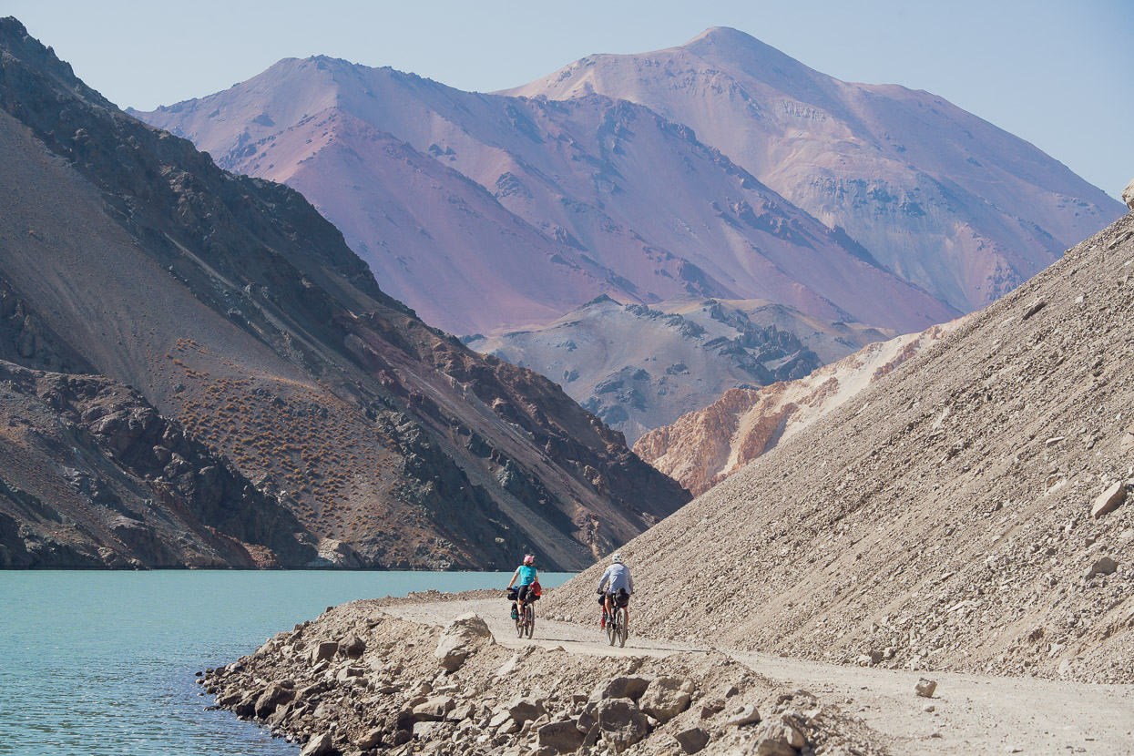
The next morning we climbed quickly to the big dam and reservoir at 3160m. Here the pavement ends and the scenery of the Agua Negra route starts to get really good. Each bend in the road reveals a stunning section of sheer topography and colour.
Even this far into the mountains we passed the occasional seasonal campamento, where during the summer months people farm goats and process their milk into cheese.
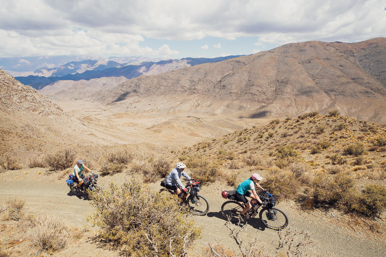
Camp that night was after another 1200m of total elevation gain which took us to 3800m. By this stage Chris and Tam were feeling the altitude and combined with o2 deprivation and the relentless heat were both feeling pretty average when we stopped. As is often the case though, after a couple hours rest and an adjustment to the new elevation they were both feeling better and slept well. Originally we’d planned to spend an extra night at this elevation for the pair to further acclimatise, but they woke up in the morning raring to go and — in the words of Ed Hillary — knock the bastard off. Wisely Chris and Tam had both started a daily dose of Diamox (125mg x2/day for 3 days, then 250mg x2/day for 3 days until over the pass) before heading to altitude and this definitely seemed to be helping them both ride and sleep better, although their appetites were low.
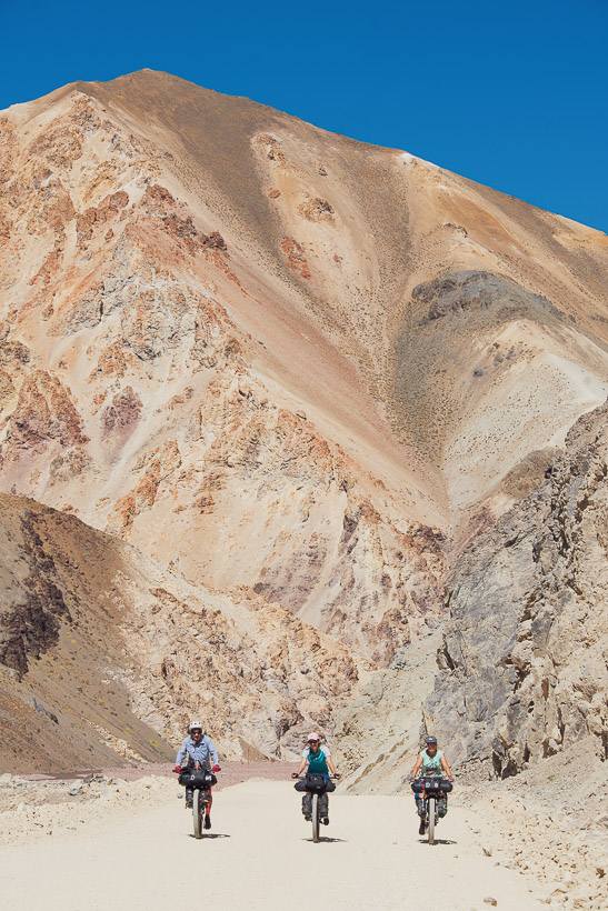
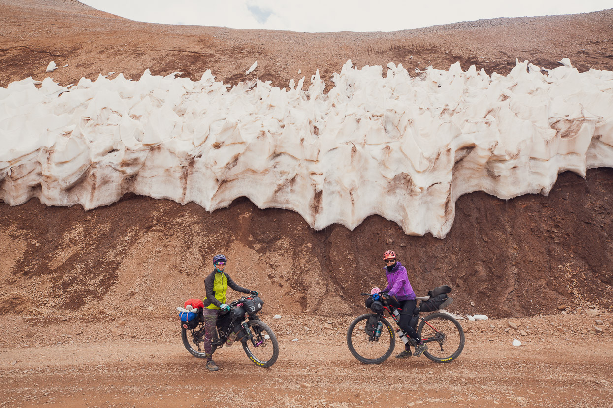
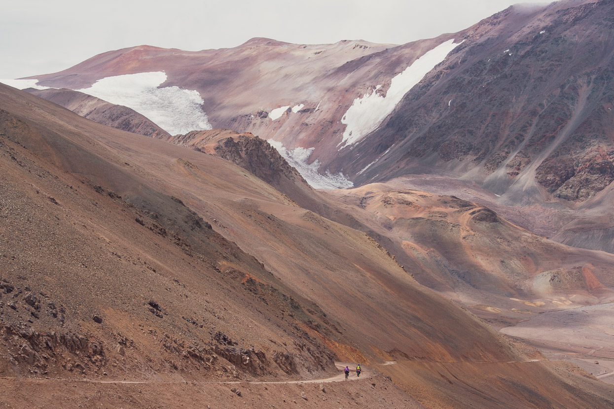
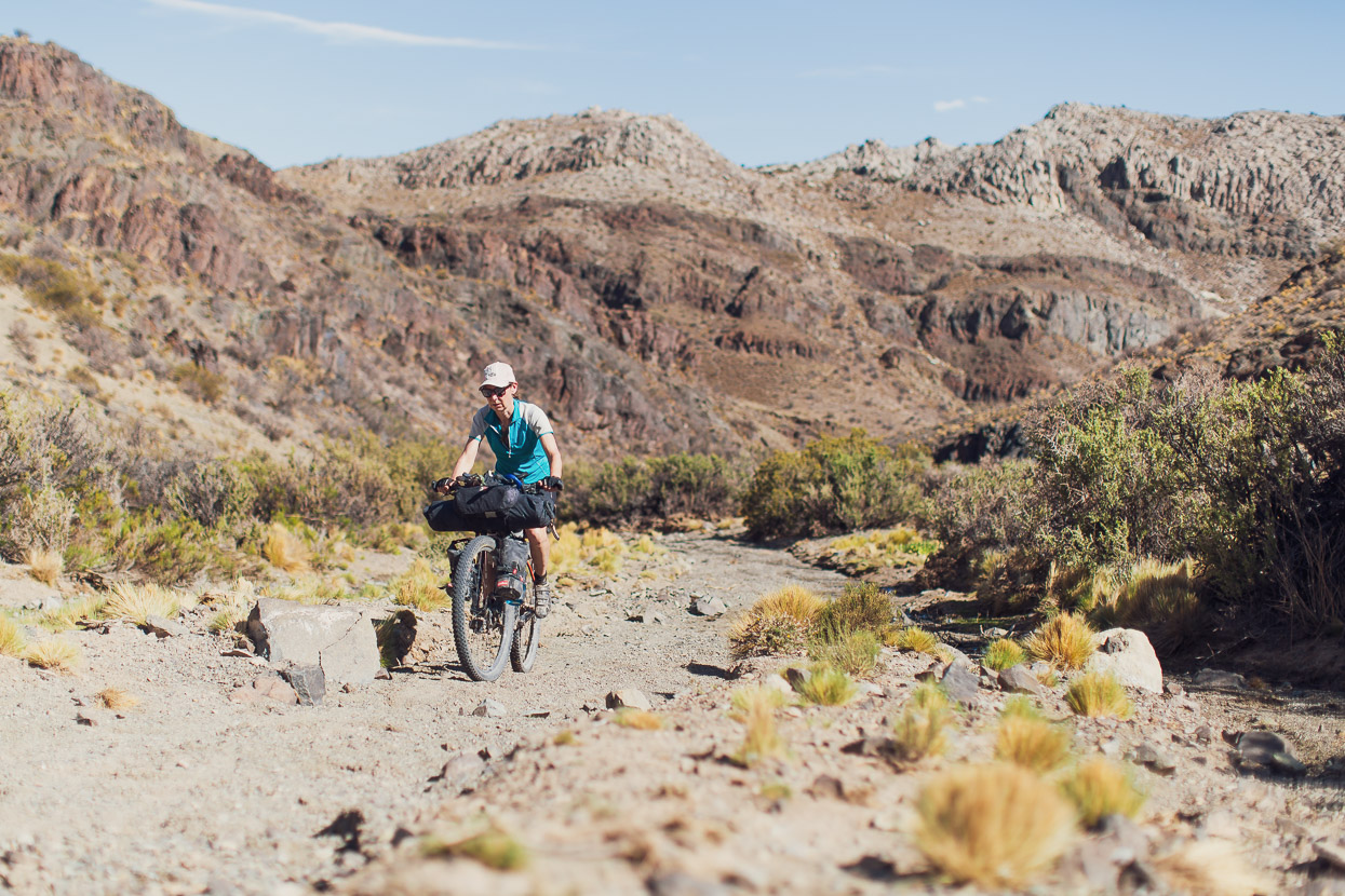
In perfect weather we started out on our summit bid. From camp the road climbed more steeply than the previous days and wound its way up through a dramatic and richly colourful landscape. Glacier remnants clung to the highest peaks and as we got higher patches of the winter snowpack still lingered on shady slopes.
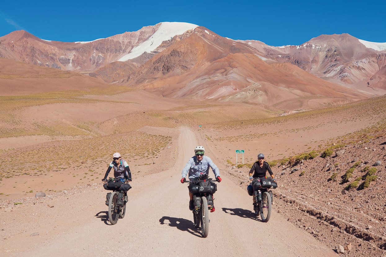
We reached the pass after around four hours. Chris had positively flown up the climb — his apparently high hematocrit of benefit at altitude, while Tam seemed to suffer a lot more, but still clawed her way steadily up the long climb. Riding to nearly 4800m from sea level in five days with no prior acclimatisation is no mean feat.
It was quite social on the pass as we shared the stoke of being there with some Chilean and Brazilian motorcyclists. Together they had cheered us on as we rode the final approach and there were lots of hugs and congratulations. This made a nice change to the usual solitude we experience on high Andean passes.
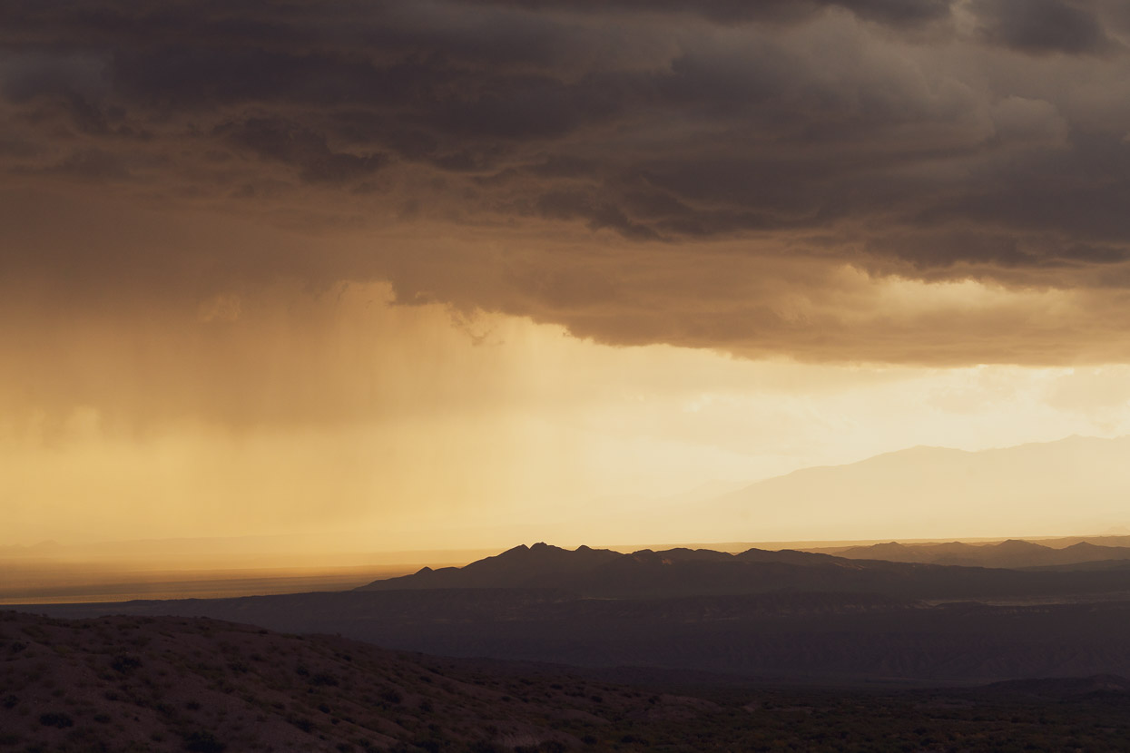
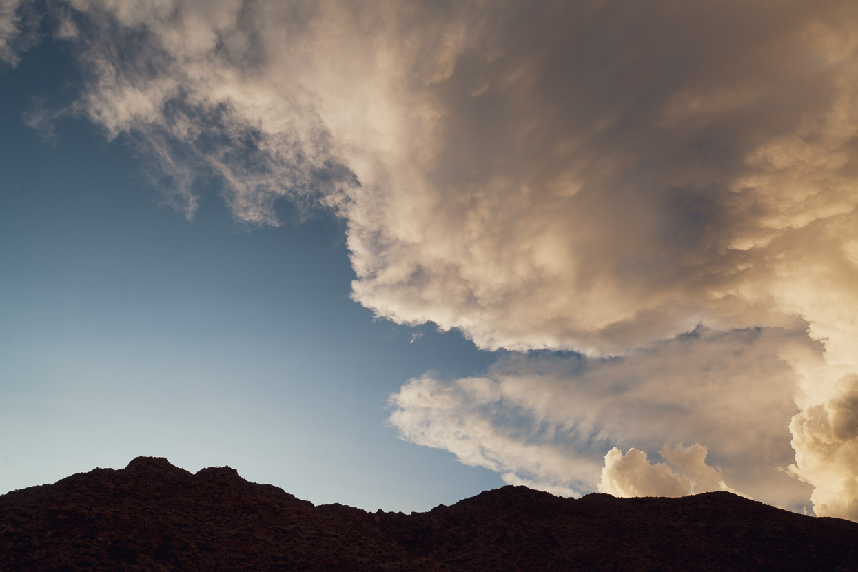
A long and windy descent dropped us to the floor of the valley and into an approaching thunderstorm, but we were lucky with our timing and missed the worst of it. Once it cleared later in the afternoon we could see that the upper valley had received a thorough snowfall.
The impetus that afternoon had been to drop low enough to get both good drinking water (from a spring) and for Chris and Tam to sleep lower. After filling our bottles for the night we rode a little further and stopped at 3400m.
A downhill ride in the morning led to Las Flores, where we took the rest of the afternoon off to breathe richer air and eat well. There’s little in Las Flores but because it’s at the base of a main highway pass there is some good mid-range accommodation and a restaurant. The town itself has a couple of tiendas and a gas station but no supermarket.
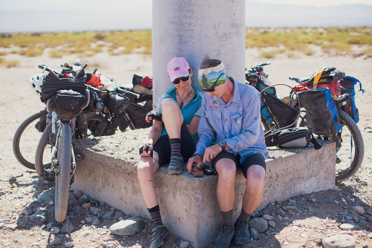
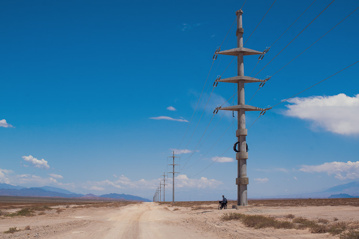
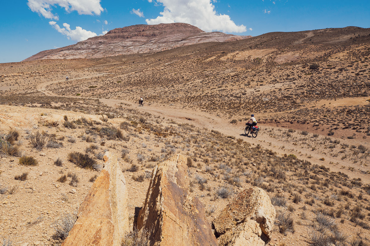
From there we followed the very exposed dirt route (412) to Calingasta. This road climbs very gently for about 50km to a remote Gendarmeria post at Tocota (there’s nothing there except a small reservoir and some abandoned houses) and then descends until it reaches pavement about 1.5hrs before Calingasta. We were taking shelter under one of the many concrete pylons along the route, deliberating over whether to linger in the shade and then camp, or continue onwards and risk a campsite without wind shelter, when a very strong northerly began to blow — a prelude to the fierce looking thunderstorm we could see brewing. Where we were was totally without shelter and the winds can be extremely strong so in a rush we packed up our afternoon tea and hit the road again. Even though the road only gently descended we were doing over 30km/hour with barely a pedal stroke, so we kept going for 20km until we reached an abandoned house with good shelter from the wind. The storm did eventually bear down on us with brief but heavy rain, but by then we’d had dinner and were headed to bed.
Refreshingly, Calingasta had a bit more going on than Las Flores and we stopped there for the night as the midday heat started to kick in.
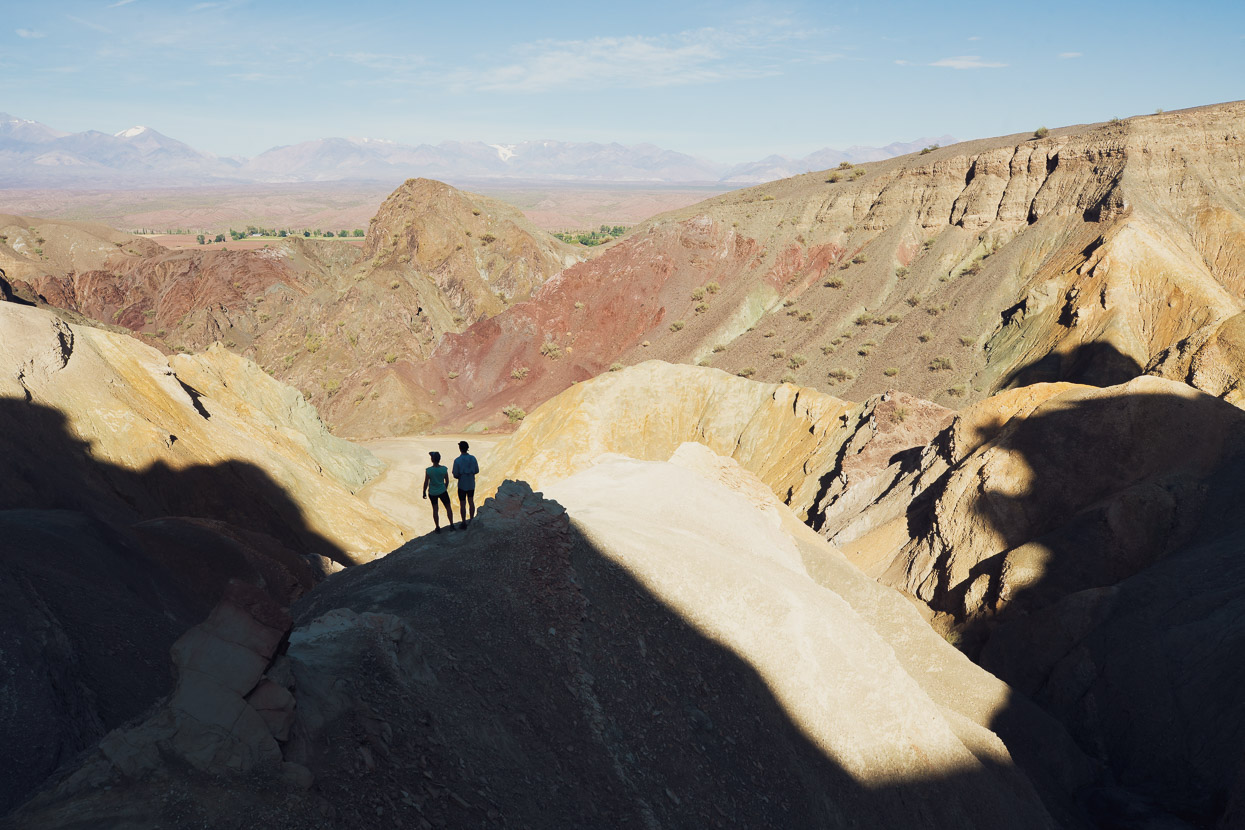
From there it was a pleasant paved ride down to Barreal. On the way we dropped into the spectacular Cerro de Alcazar (it’s marked on Google Maps and signposted). A short ride up an arroyo leads to some impressive hoodoos which you can scramble up to get good views over the surrounding landscape.
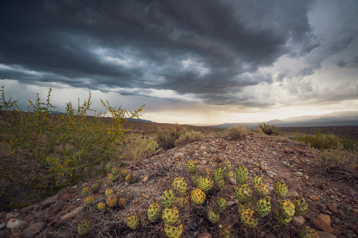
The thunderstorm that had dropped a bit of rain on us had been less merciful in the hills surrounding the oasis town of Barreal. Shortly after Calingasta we began to see signs of flooding and serious road damage around some of the big culverts. The landscape here is so stony and arid that when big rain events arrive the slopes become awash with water, making flash floods common in the many arroyos. People were mopping their homes and clearing driveways of mud as we closed in on town.
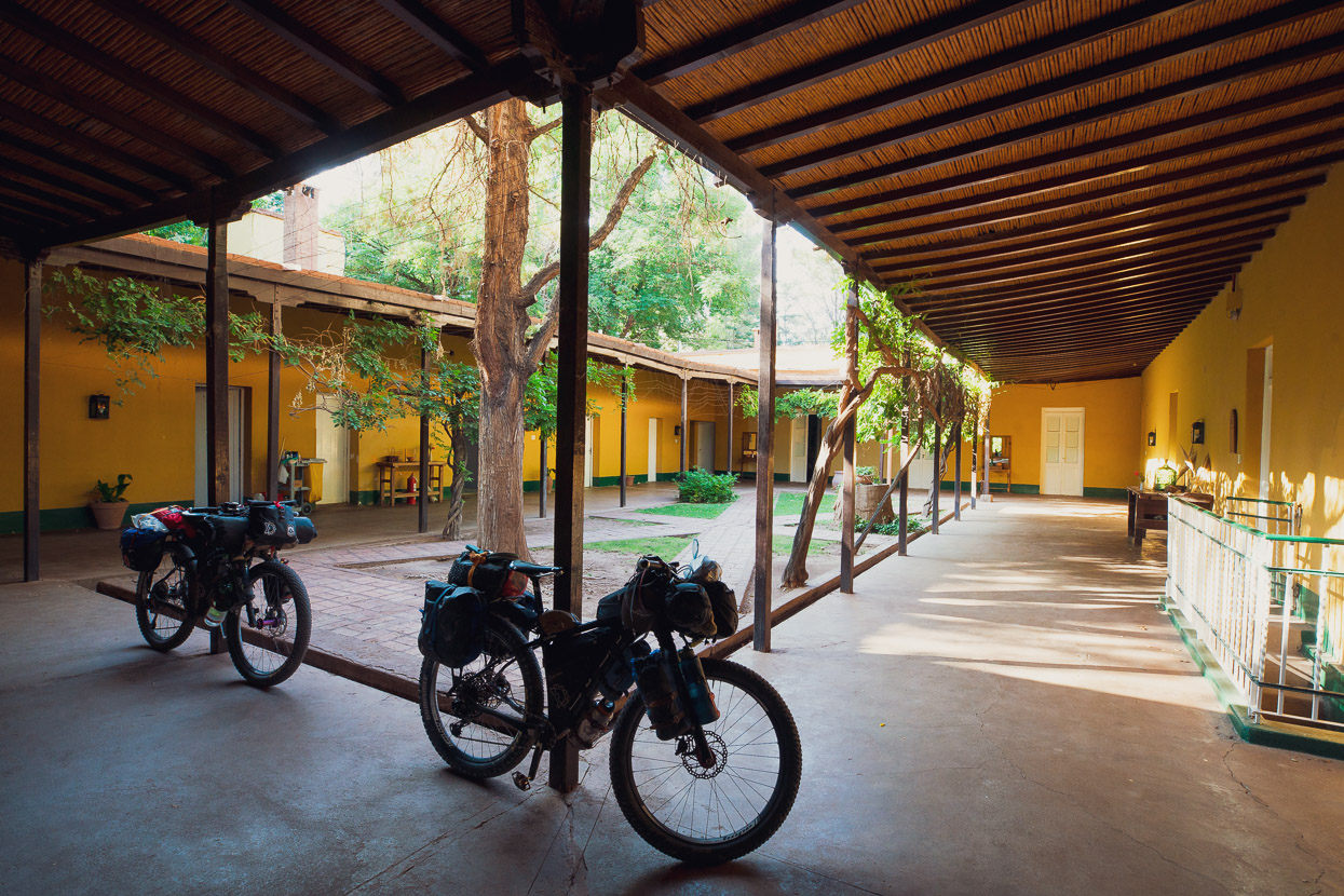
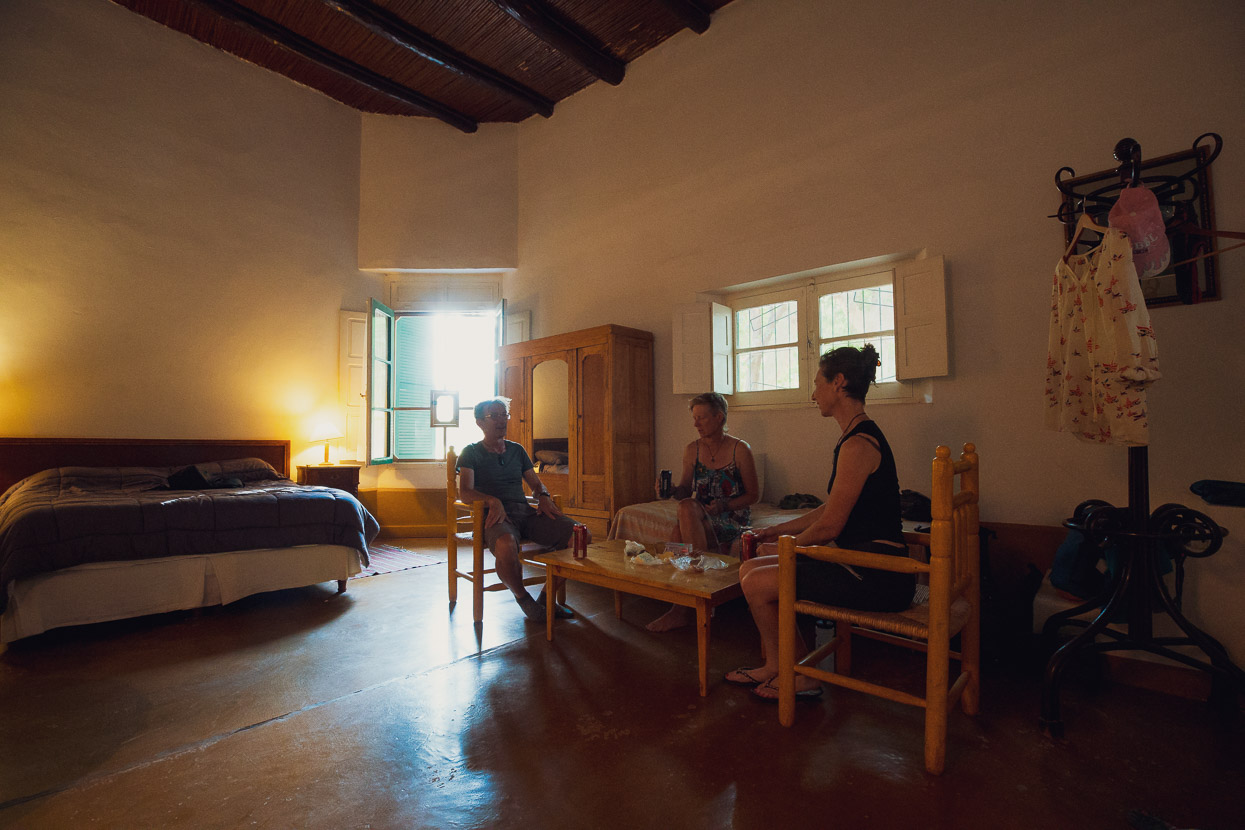
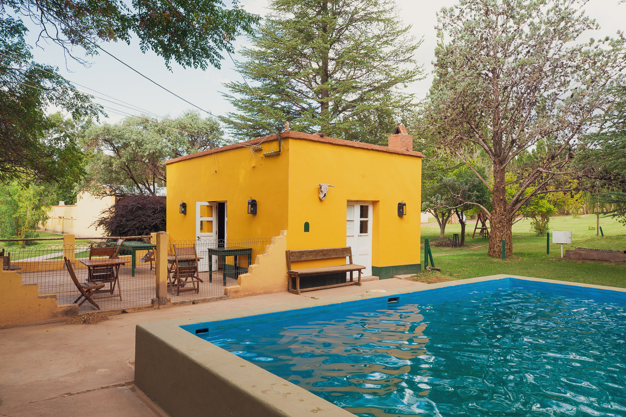
To make the best of our planned rest day we booked into the Posada San Eduardo on the edge of town. This spacious historic hacienda, built in a traditional style around a central courtyard was a perfect place to recover, with its ample breakfasts, excellent dinner and relaxing atmosphere. If you’re looking for a treat, this is the place.
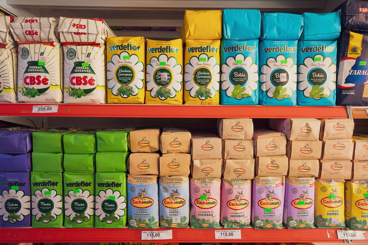
I didn’t mention maté yet, but it is to Argentinians what tea is to the Chinese. You’ll find plenty of it on the supermarket shelves and soon become familiar with the sight of people sucking on their maté straws with a thermos of hot water nearby.
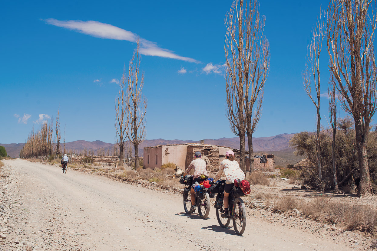
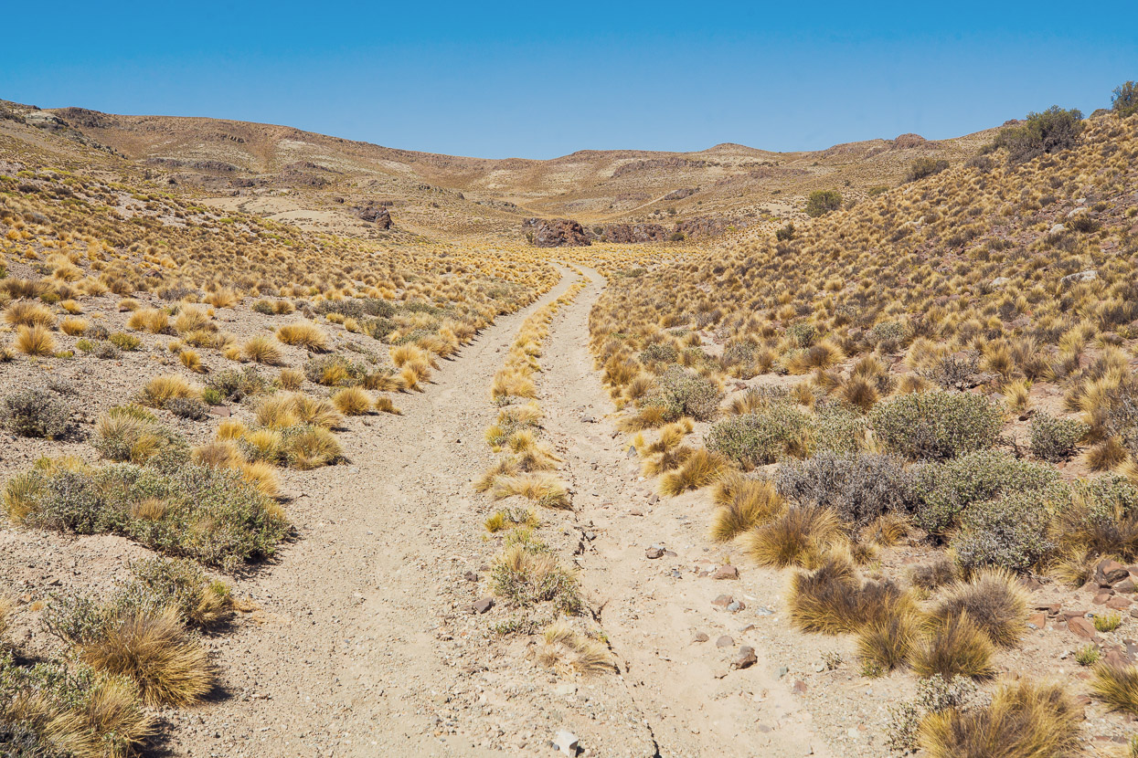
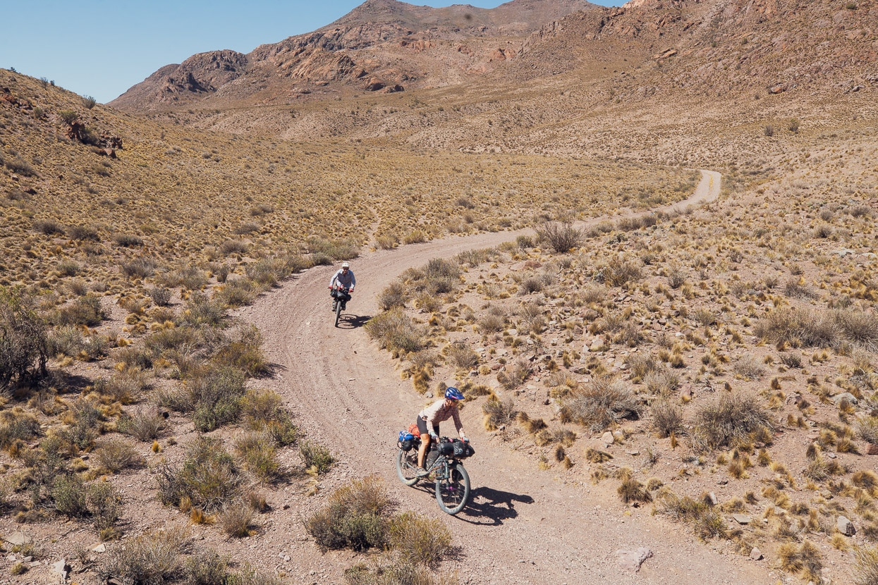
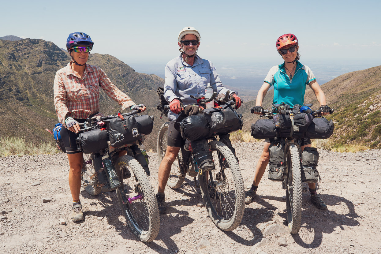
For our final four days to Mendoza we followed Taneli Roininen’s Cerros de Mendoza route, which is a relatively new addition to bikepacking.com. It’s what I call a ‘mountain biker’s’ bikepacking route; that is to say, if you have good bike handling skills and a robust bike set up with plus tyres and a moderately light load, you’ll get the most out of the route. Aside from the first day out of Barreal, which is on a mixture of pavement and dirt, much of the route follows arroyos and undulating or windy trails through open country. It’s not technical per se, but the arroyos test you and some of the climbs and descents are very steep.
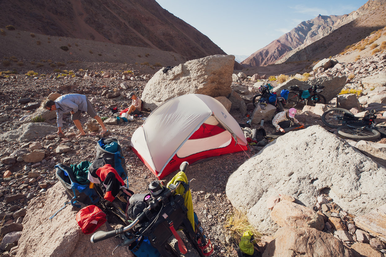
Our first night out of Barreal was a memorable one. Just the four of us camped alone in the desert, under a stunning sunset sky with a warm breeze blowing. A large scorpion came to visit our vestible just before lights out and in the morning an Andean fox casually walked past, barely stopping to check us out.
Pleasant gravel road riding gave us a good warm up in the morning, before we turned off to follow an arroyo that snaked its way down across the basin.
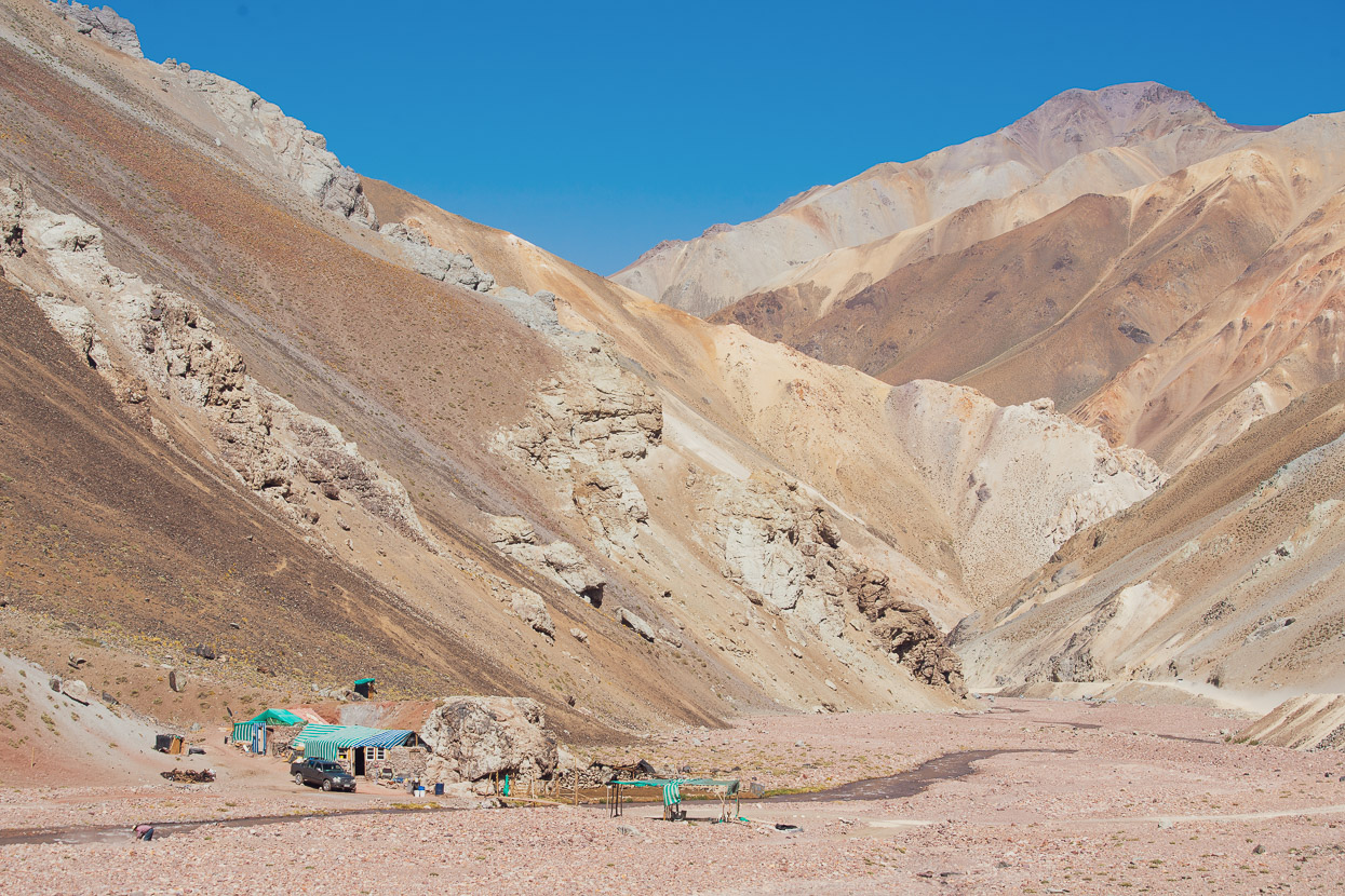
Later, we picked up a gravel road again and climbed towards the visitor centre at the historic mine site. You can collect water here, but we were not given permission to camp, so we rode a short way up valley and found a sheltered spot in an arroyo near the road.
The next day was the best on the route, as the trail follows an arroyo through a shallow canyon, gradually climbing.
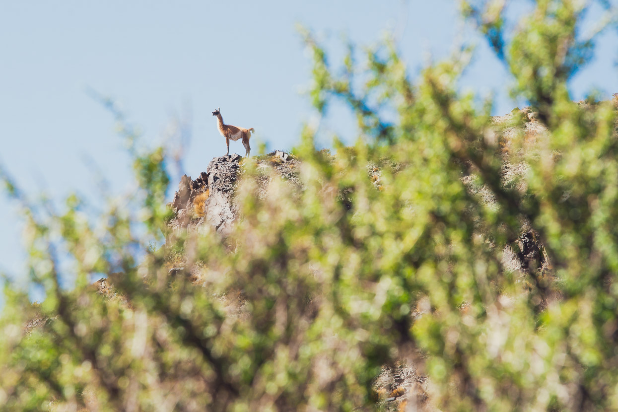
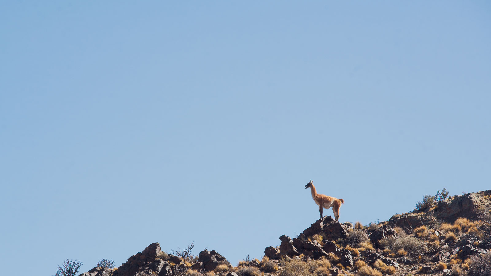
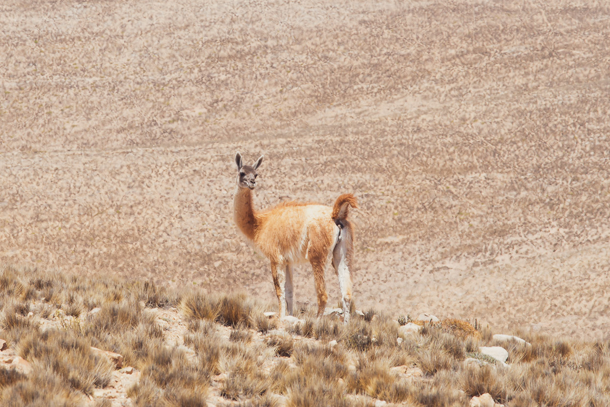
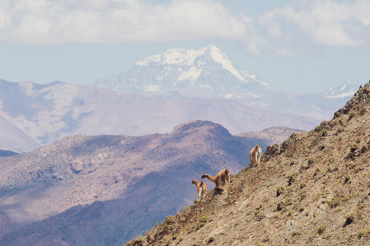
We spotted lots of guanacos in this valley, which are the ancestor species of the domesticated llama. They look similar to vicuñas in the tone of their pelt, except they’re bigger, with a black face and their ears are distinctly llama-like.
The road leaves the arroyo and climbs further until it breaks out a ridge top, with stunning views of the surrounding ranges and Aconcagua — the highest mountain in South America.
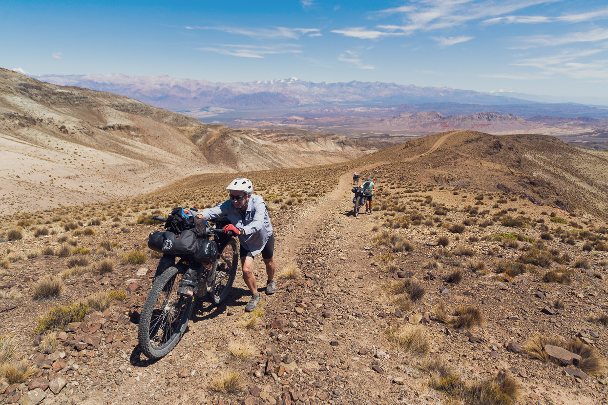
The views are hard earned though as the trail dips and climbs steeply along the ridge.
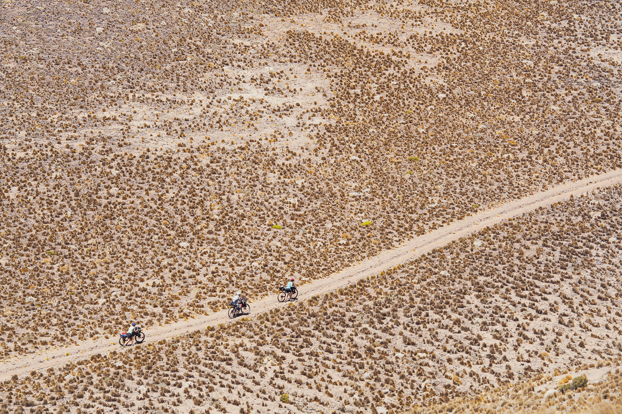
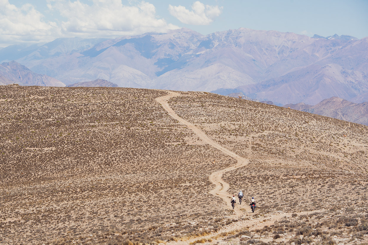
But finally it begins to descend and some ridiculously fast and fun double track cuts across the grasslands.
After a while it leaves the reserve and here the track is perfectly bermed by trail bikers who make the long ride out from Mendoza at weekends. Perfect riding on a sinuous descending trail.
We camped at one of the few water sources on the route, Laguna de los Cangrejos, enjoying the shade of a big tree and the sound of water trickling away from the spring.
In the cool air and crisp light of the morning we followed the road further down.
Before turning left and beginning the final long climb of the route. A 1000m ascent that begins steadily up an arroyo.
And then more steeply up a switchbacked climb to the final pass.
From the top there was a perfect view across to Aconcagua (6962m). And ahead of us was a 2300m descent to the Argentine plain and Mendoza.
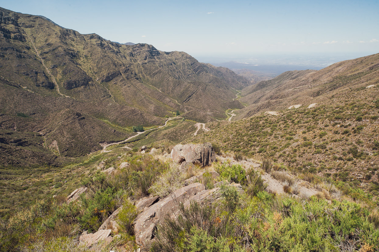
At first the route descends a sometimes rocky and sandy arroyo, but it’s still fast travel. Eventually it joins a rough dirt road which makes the final descent down a steep valley to the plain.
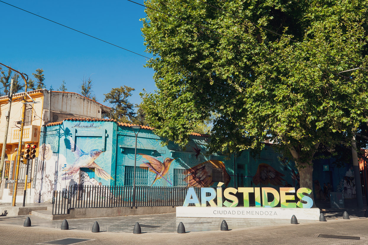
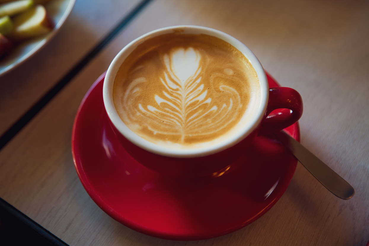
After months of high altitude riding, desert regions and the altiplano we were finally below 1000m elevation. Mendoza is a wealthy city — the heart of Argentina’s wine growing region and a culinary centre. The streets are rich with life and sheltered by verdant leafy trees that appear too tall to be real. There seems to be a cafe on every corner and on one street there are more good looking restaurants that we saw in the whole of Peru. It feels like heaven.
After three languid days in Mendoza it was time for Chris and Tam to head home, and for Hana and I to plan our next leg while catching up on other work. We spent a week in the city, resting well, eating even better and getting our energy back for yet another crossing of the Andes back to Chile. This one doesn’t involve a road though. We’ll tell you how it went in a few days…

Do you enjoy our blog content? Find it useful?
Creating content for this site – as much as we love it – adds to travel costs. Every small donation helps, and your contributions motivate us to work on more bicycle travel-related content.
Thanks to Otso Cycles, Big Agnes, Revelate Designs, Kathmandu, Hope Technology, Biomaxa and Pureflow.


Hi Mark,
I’m enjoying following your travels and the incredible countries and countryside you are traveling through. Take care and happy trails.
Jeanette ( past T A walker).
Thanks Jeanette! I remember meeting you just before the CNI volcanoes. Hope the rest of your TA project went well! PCT next? 😉