
Cones & Canyons Part Two.
Northern and central Peru are shaped and defined by the great mountain ranges of the Cordillera Blanca, Cordillera Huayhuash and the less-glaciated Cordillera Central, but by the time you reach the south of the country the ranges mellow and merge into a landscape forged from hundreds of thousands of years of volcanic activity.
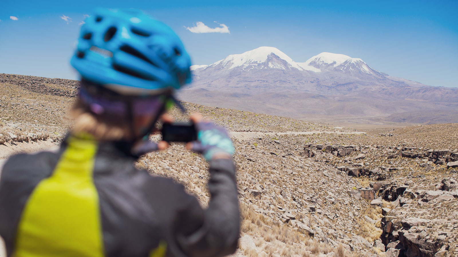
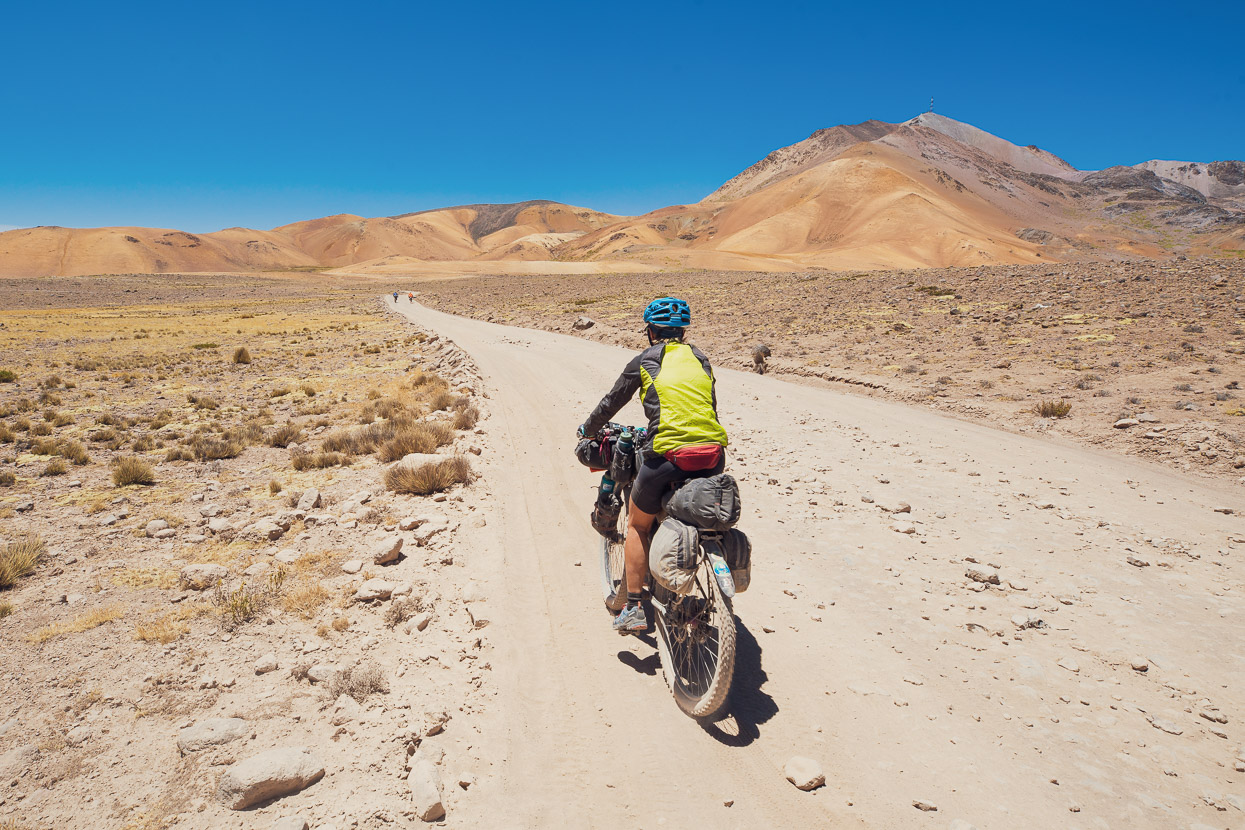
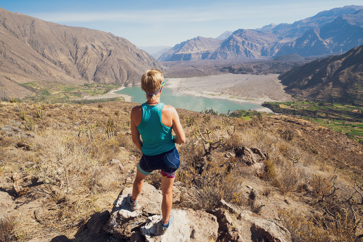
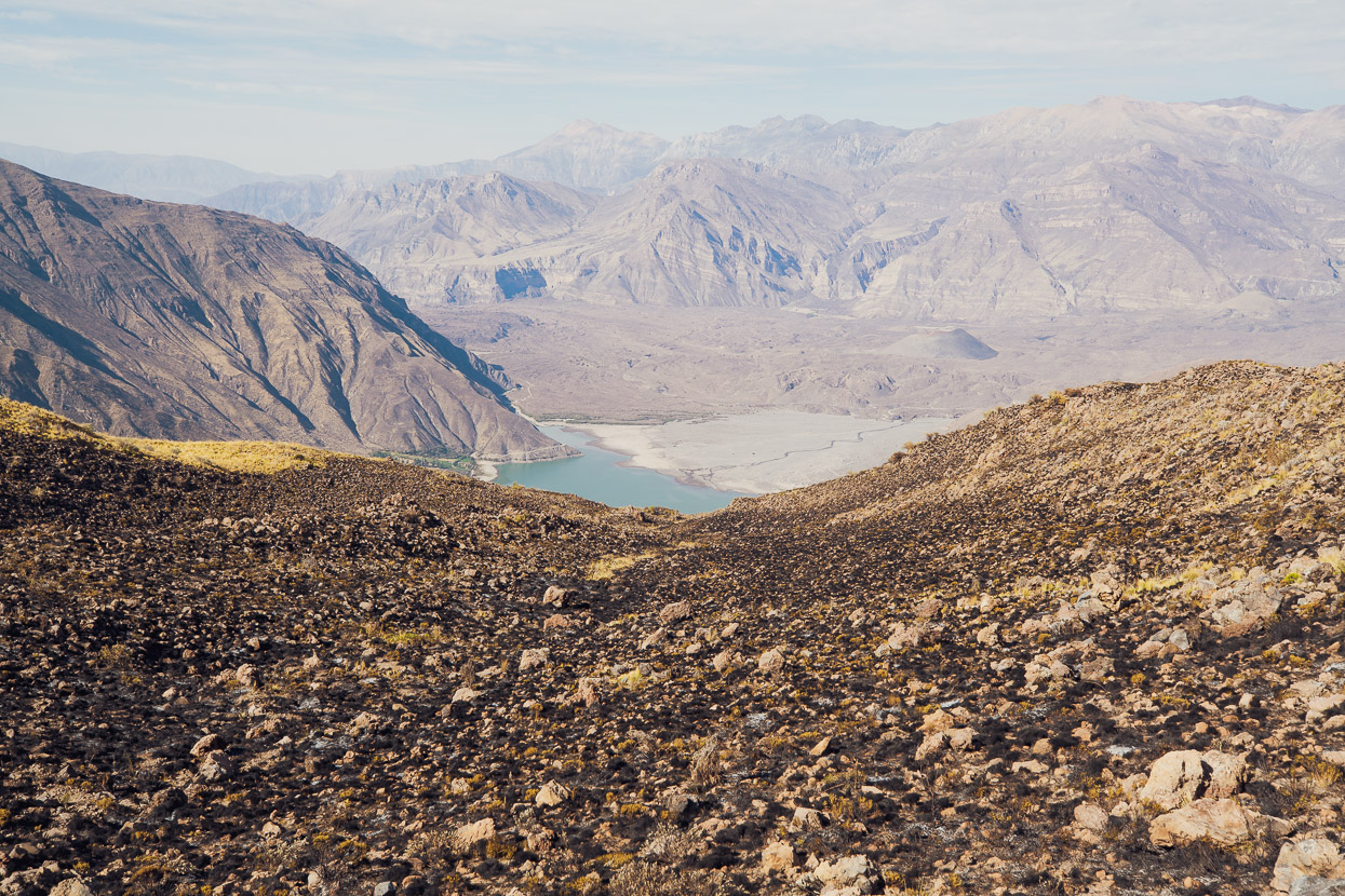
Gone are the sharp peaks and deep valleys, replaced by the snowy cones of isolated volcanoes and a barren upland, fractured by two of the deepest canyons in the world. We’d been nudging the edge of this region since Abancay, but it’s only after Cotahuasi Canyon, as you head south, that you find yourself among the best of it; crossing the altiplano with volcanoes on the skyline and only alpacas and vicuñas for company on the empty roads.
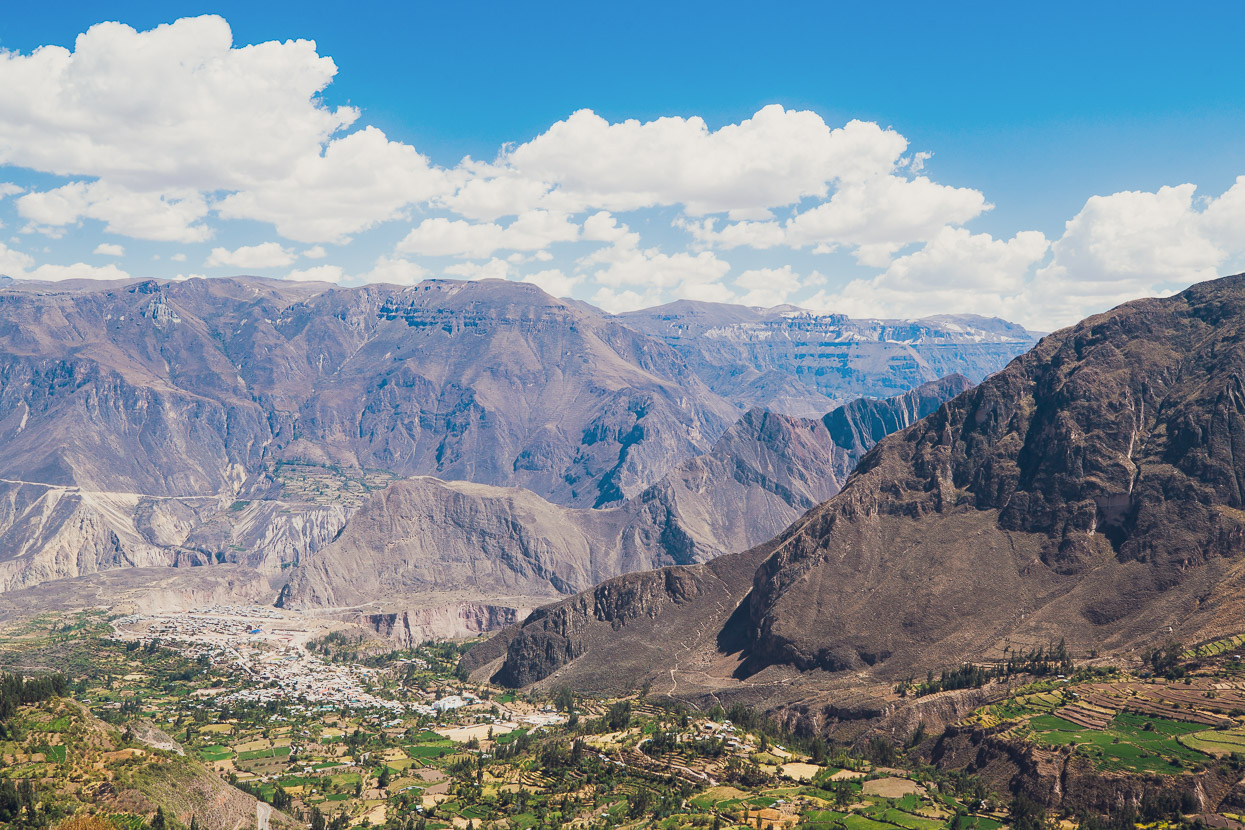
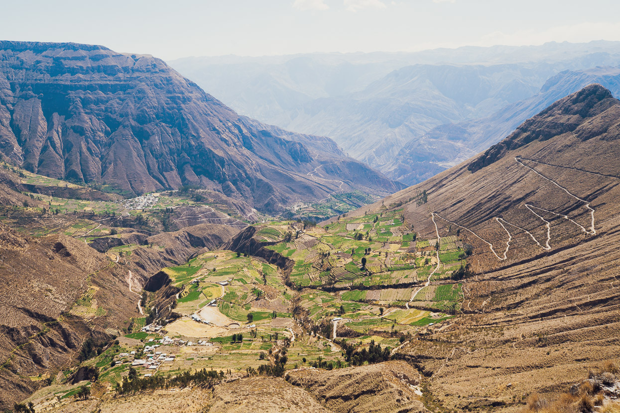
Looking back on the town of Cotahuasi and the canyon as we climbed up towards the volcanic plain.
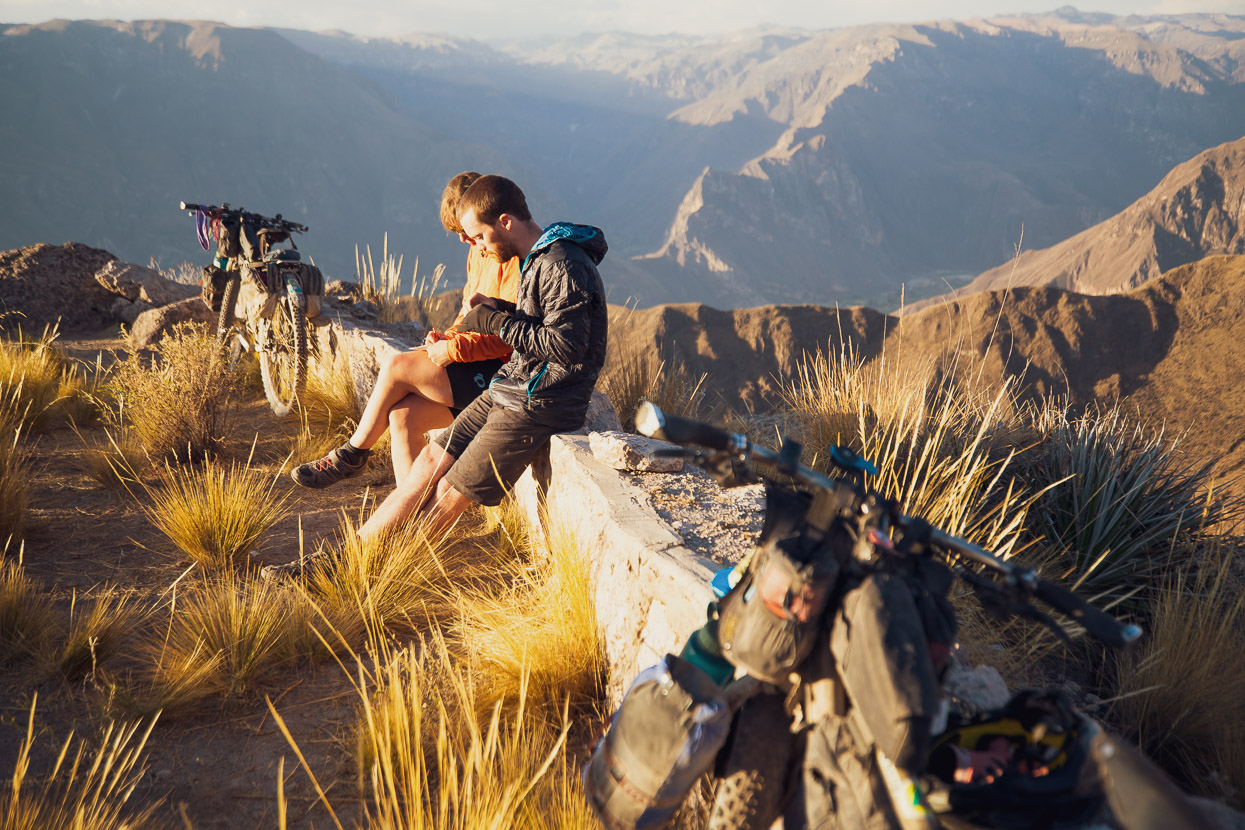
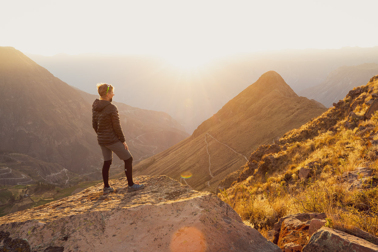
I’d spotted an interesting looking location on the map, called the Mirador Bañadero del Condor (Condor’s Bath). We had little idea what was there, but it looked like a good spot to camp, with some final views of the spectacular Cotahuasi Canyon. The site is on a long, narrow ridge on the lip of the canyon and is occasionally used by condor spotters. The ‘bath’ is actually a lone pool of water partway down the drop of a very tall waterfall.
We didn’t see any condors there, although we had seen three circling high above us earlier in the day, but it made an amazing spot to camp for the night nevertheless, with wide-open views and sunshine both late and early. It’s a 6.5km, mostly downhill, detour (about an hour’s ride to return to the main route in the morning) but well worth it for a magical spot.
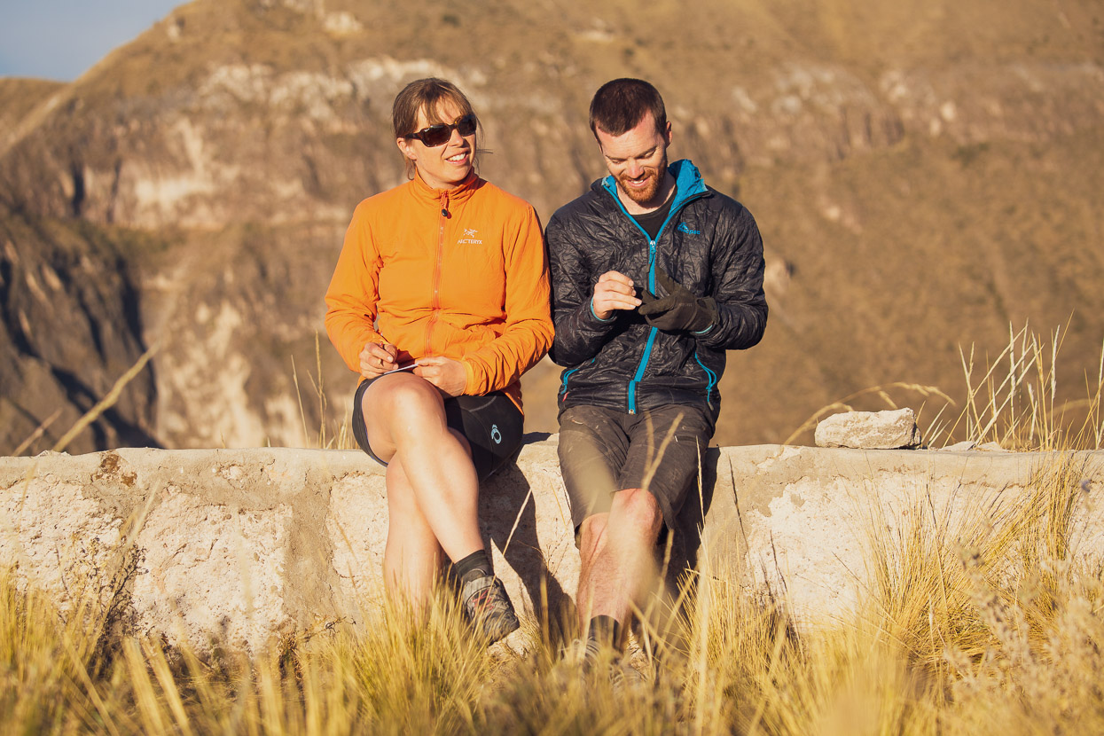
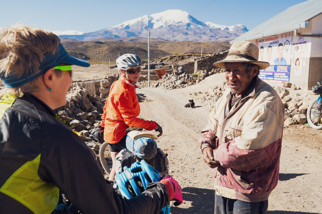
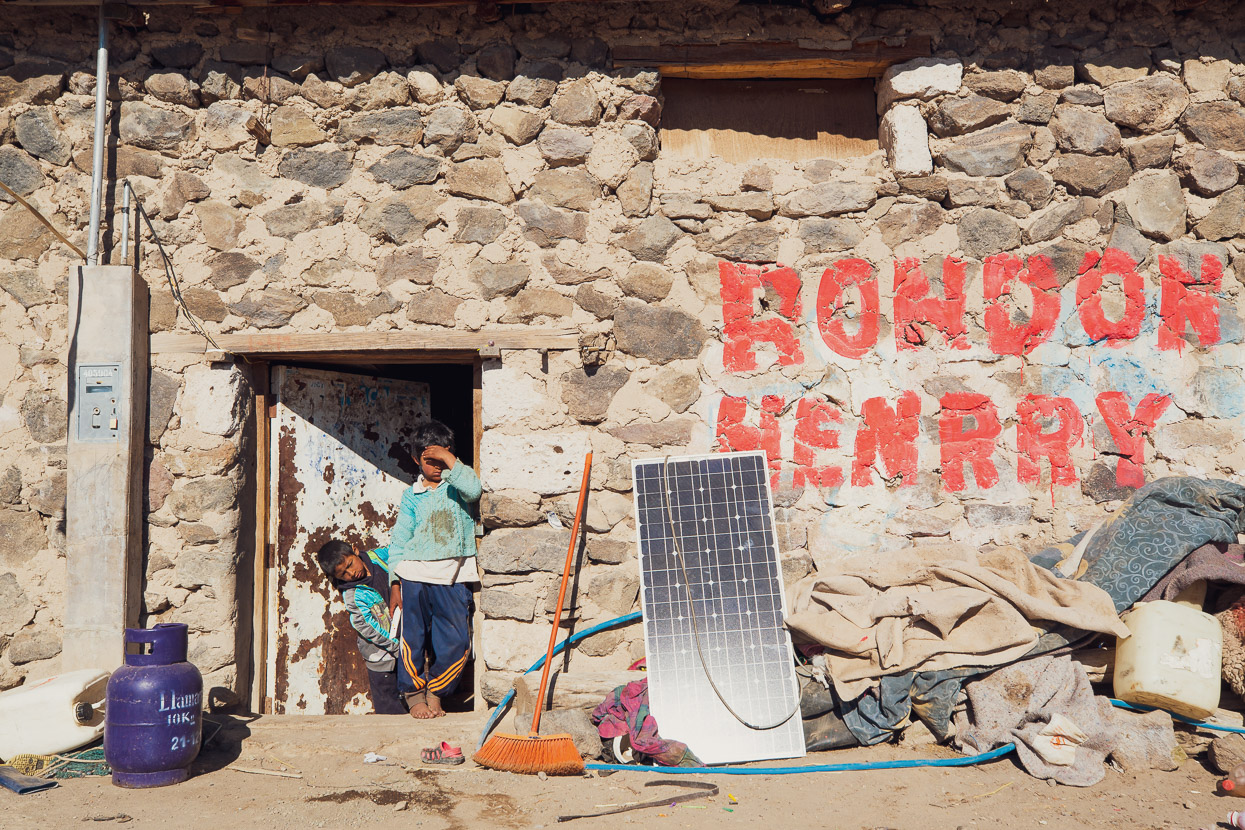
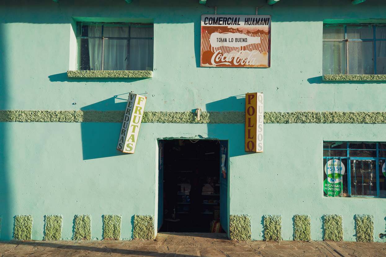
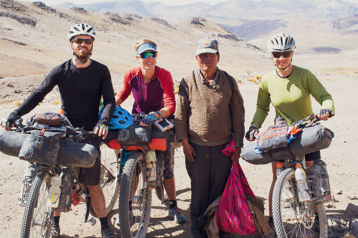
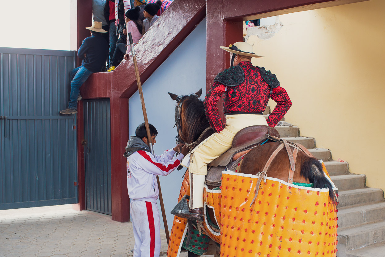
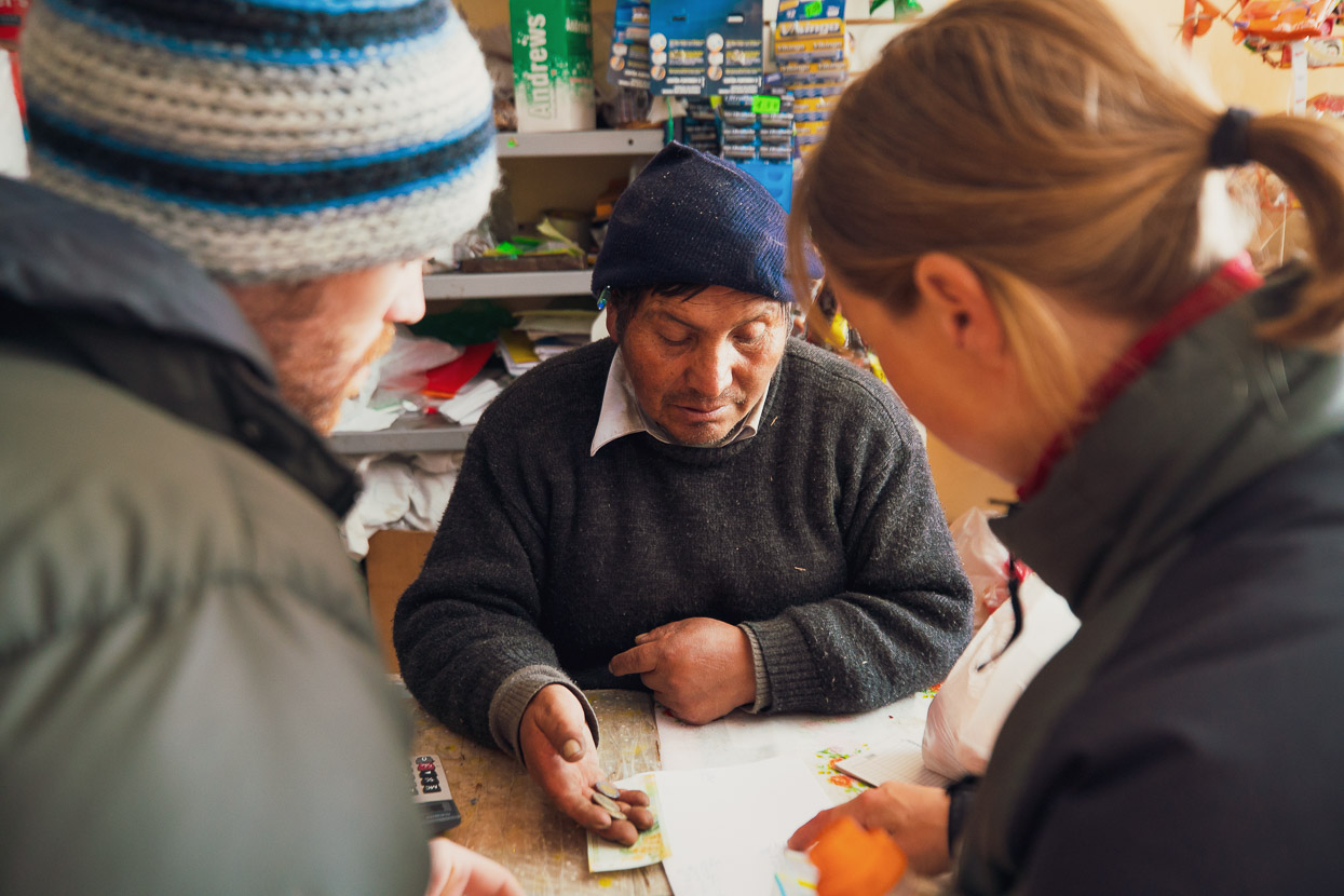
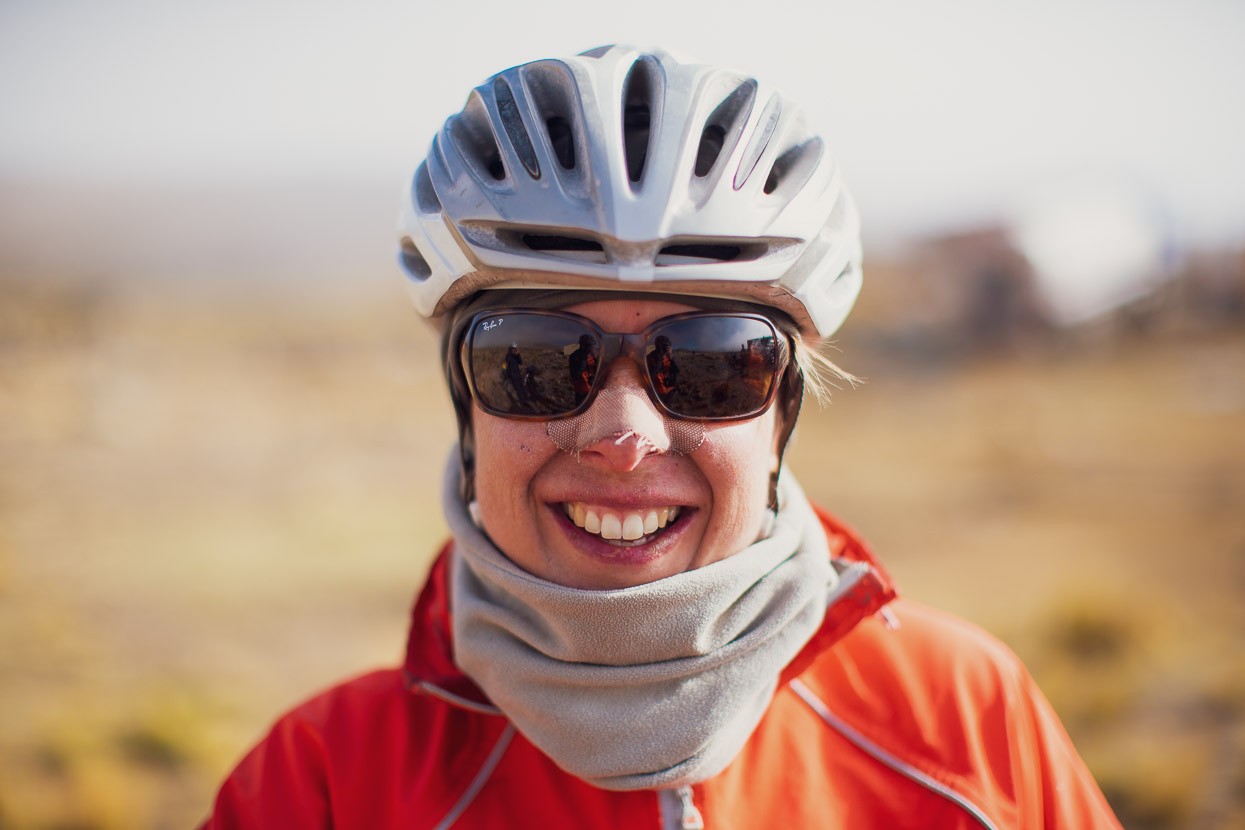
Glove repairs…
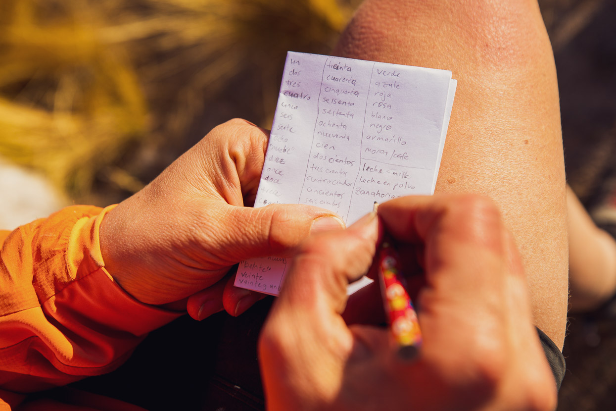
… and Spanish practice.
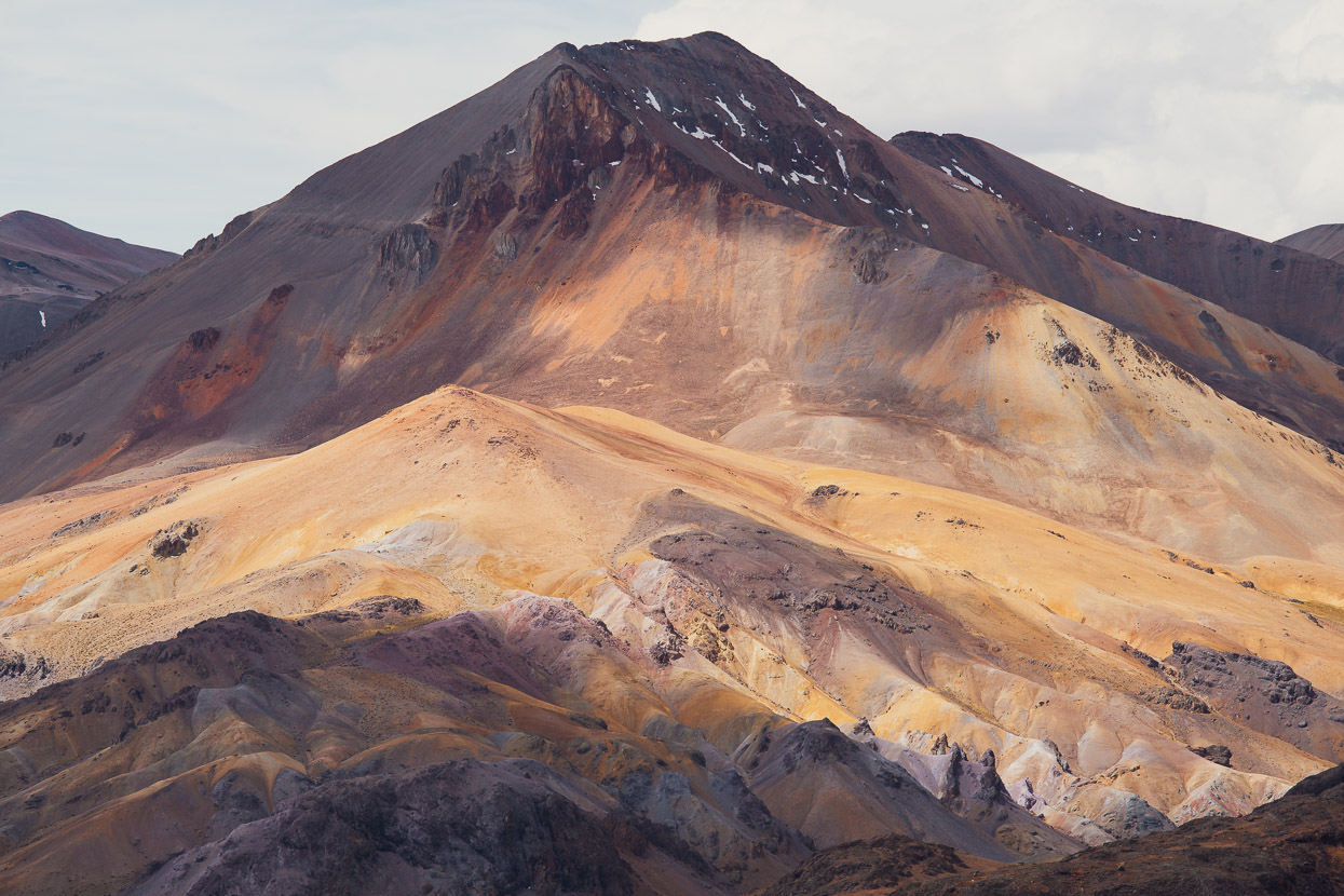
It’s a crazy landscape out there.
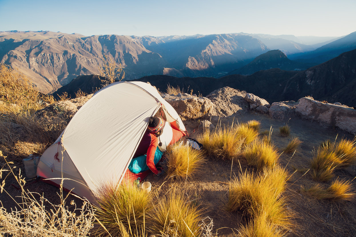
And what a place to wake up!
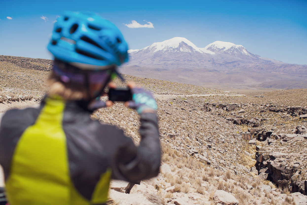
The following day the road led on through a landscape of basalt outcrops, lava and desert-like grasslands. We passed Volcan Solimana (6093m) and then the even bigger massif of Volcan Coropuna (6377m) came into view.
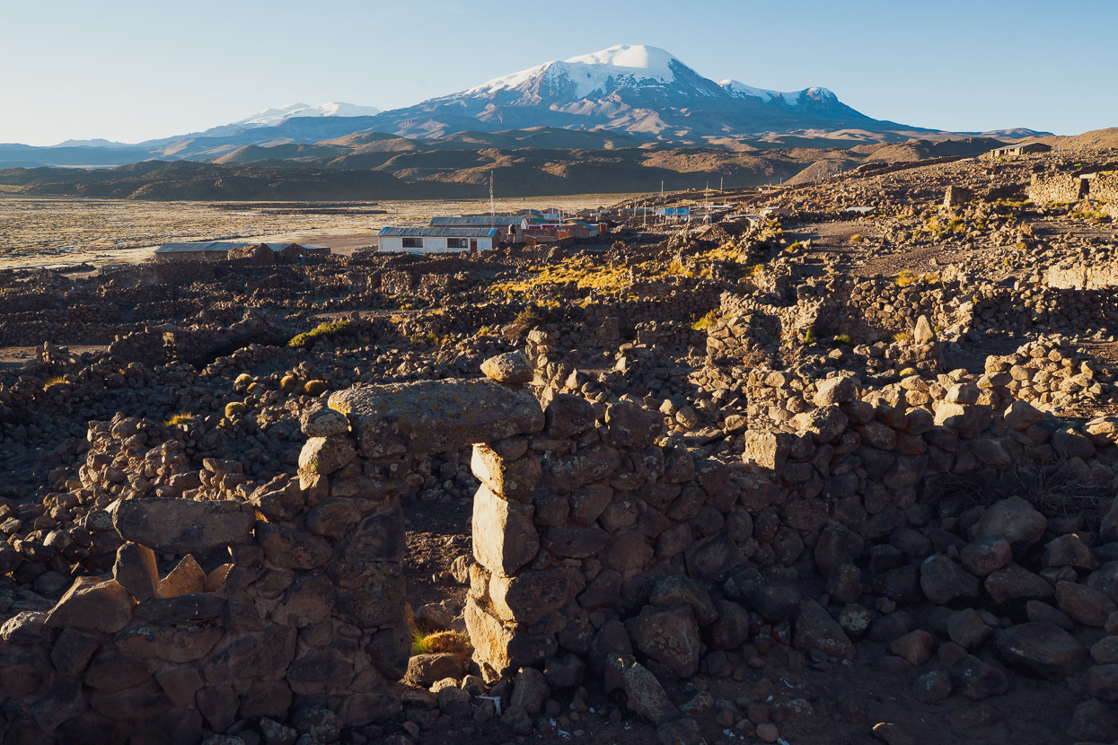
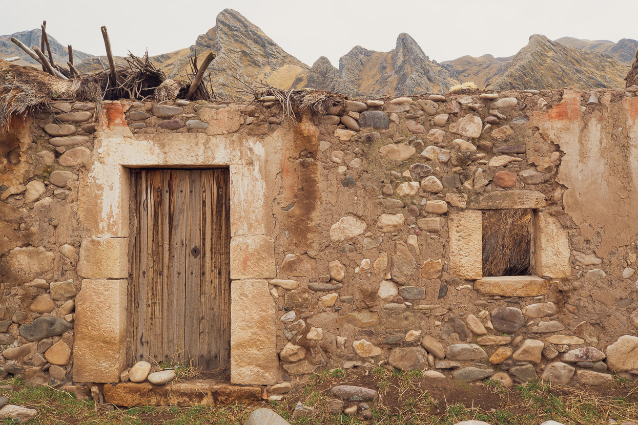
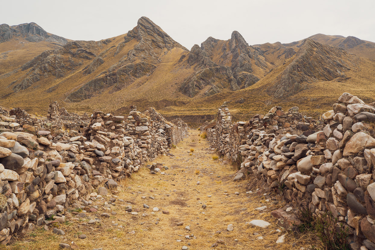
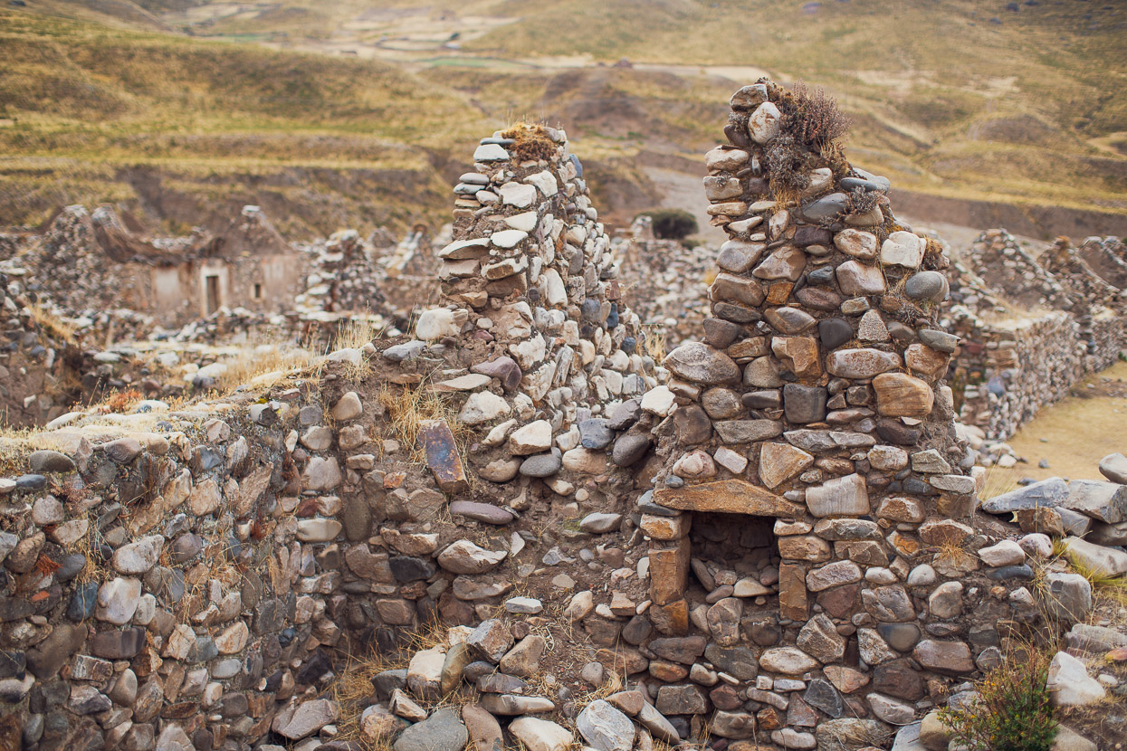
We camped for the night on the edge of the village of Mauca Llacta. We could have stopped anywhere, but the lava flows that border the village provided some good wind shelter, there was water, and the village is a pre-inca historic site. There’s not much tangible to see there, but there are a few crumbling stone walls from dwellings and a couple of still-intact stone doorways. It’s a pretty special place though, with glaciated Coropuna in the background.
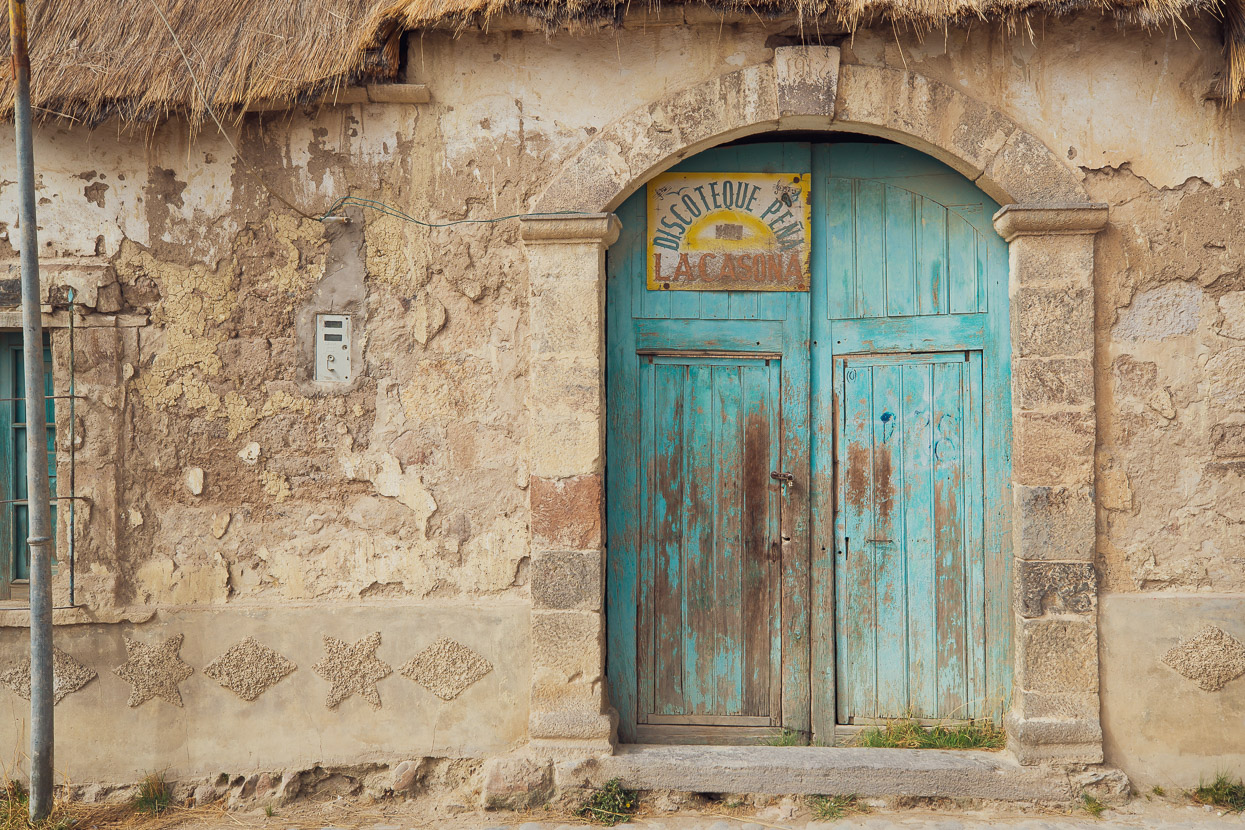
Note for other riders: if you want to stay here, ask for the village leader ‘El Presidente’. They appreciate you introducing yourself and can show you where to camp. There are a couple of very small tiendas with the usual spartan range of cookies, soft drink and soap.
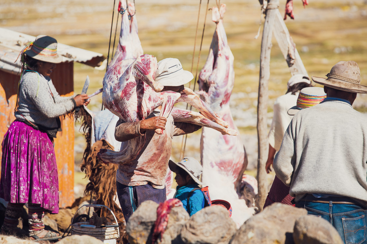
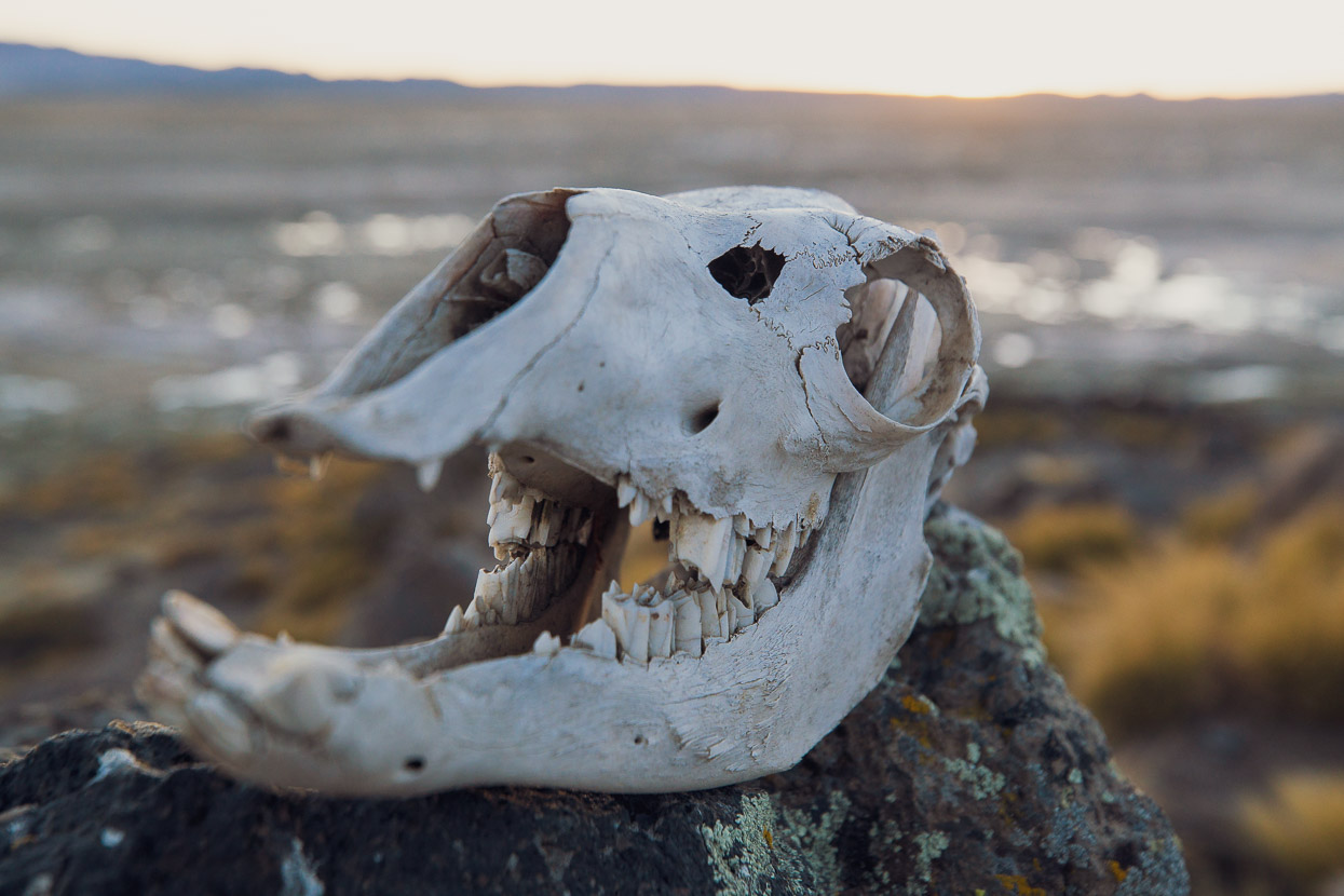
In the village several llamas were being slaughtered and skinned in preparation for the market in Arequipa, many hours drive away.
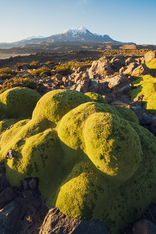
At dusk and dawn we wandered around on the big lava flow behind the village, photographing the green blobs of Azorella compacta (llareta). This native to South America grows within quite a small elevation band on the puna and reminds us a lot of what we call ‘vegetable sheep’ in New Zealand.
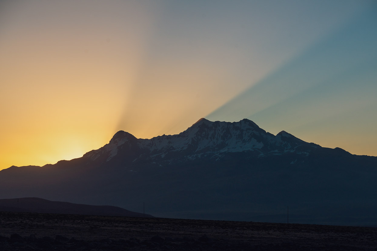
In the other direction the sun sets behind Volcan Solimana.
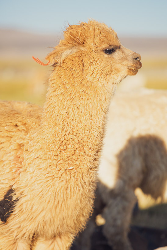
Alpaca farming is the mainstay of the village.
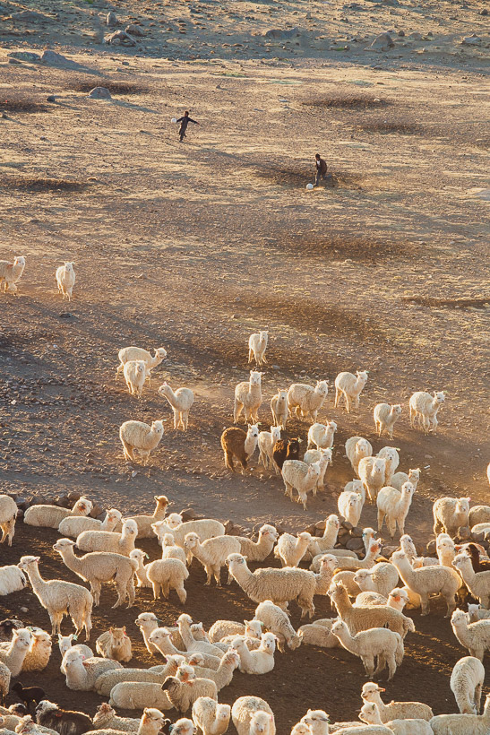
At dusk two boys brought in a herd, kicking footballs all the way.
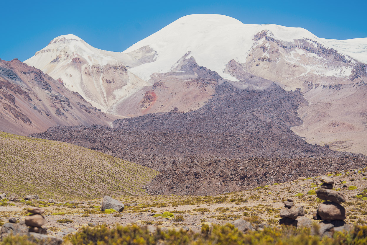
Back on the road the next day we passed one of the more recent lava flows to issue from Coropuna. This mountain’s thick ice cap is apparently the largest in the tropics, but it’s estimated that it will last only about another 100 years before it has melted, threatening the livelihoods of hundreds of thousands of people. This is a theme I’ve noticed over and over in Peru, where farming communities, cities and everything in between is inevitably going to be severely threatened by diminishing glaciers. The potential for disaster is very evident here, as many regions lack ground water and some receive very little precipitation. Essentially, much of Peru’s western high-country is arid and totally dependent on glaciers for its water supply.
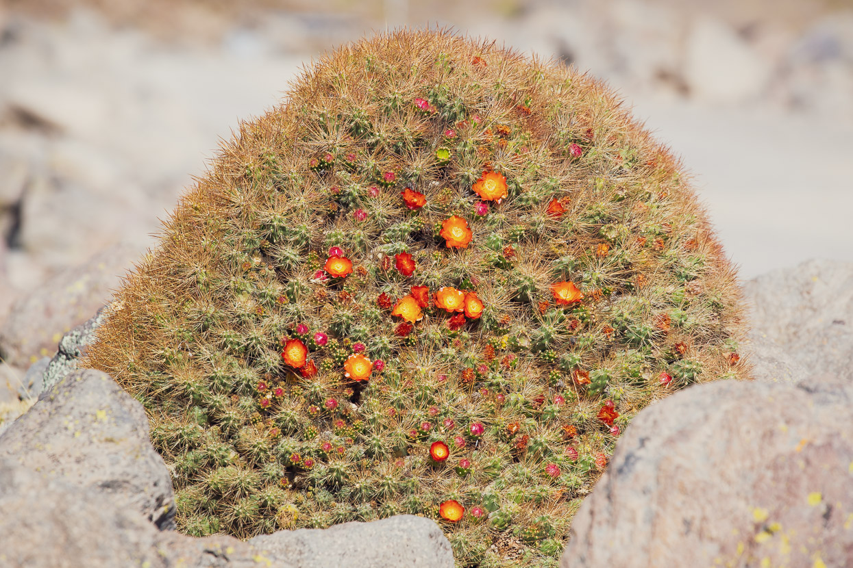
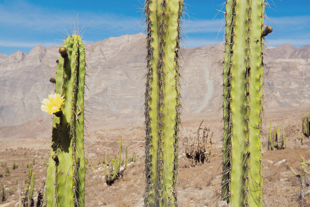
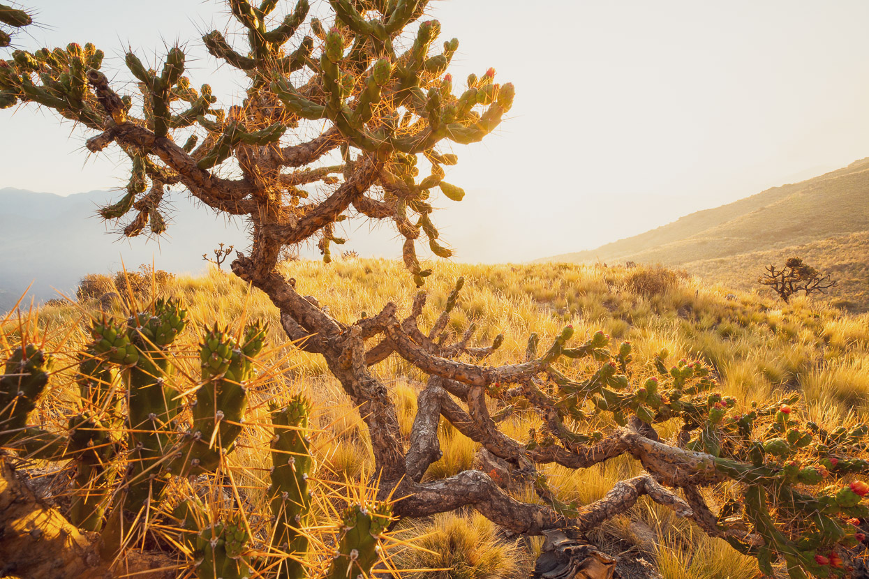
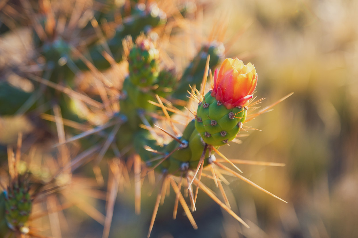
These clumps of flowering cactus were a cool sight among the dust, stones and grasslands.
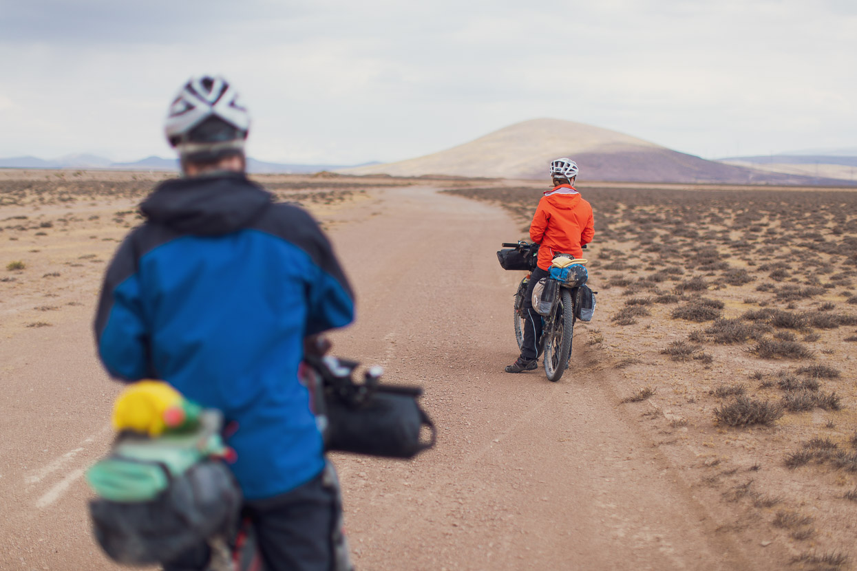
The highpoint of the day was close to 4900m, and then we rode towards the edge of the volcanic plain.
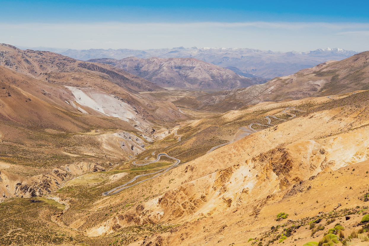
Where we met a paved road that fell away hundreds of vertical metres into the valley below. An amazing descent.
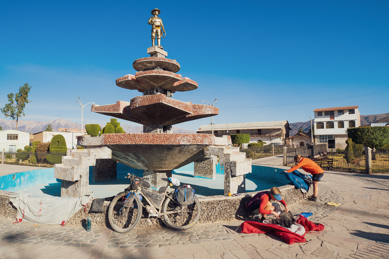
We stopped, 1200 metres lower, in Andagua. It was early in the afternoon but we decided to call it a day and use the rest of the day to clean bodies and clothes and resupply food. The hotel owner was gone for the day, so in the end we couldn’t check in until 6pm. In the interim we took over the plaza, drying our tents and enjoying the sunshine. Ultimately, the room was hardly worth waiting for and the shower water was lukewarm!
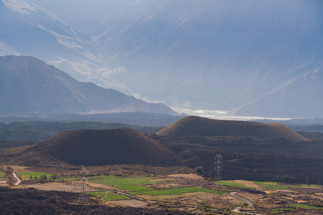
Andagua is on the edge of the remote Valle de los Volcanes, one of the more unique places we’ve ever seen. Thousands of years of eruptions have carpeted the valley floor in a thick bed of lava that has sprawled chaotically in every direction. Among the lava are over eighty cinder cones – mini volcanoes only a couple of hundred metres high.
A paved road led out of Andagua and we sped down valley, passing cones and the margin of the lava, where it has flowed close to the valley edge.
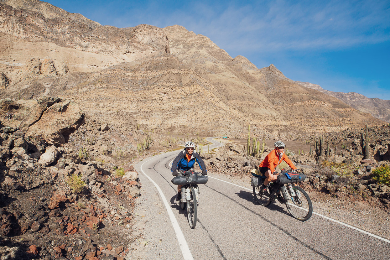
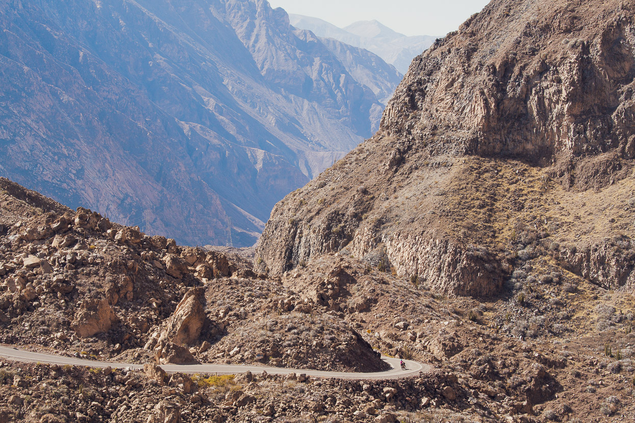
Dropping into the stark valley felt as if we were headed for inframundo – the underworld, as we left behind the vegetation and entered a soberingly harsh environment of rocks, cactus and not a lot else. Water was already a distant memory.
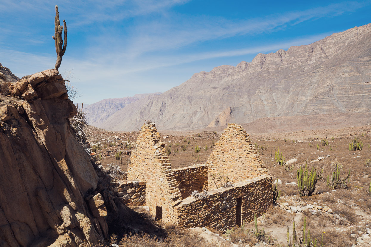
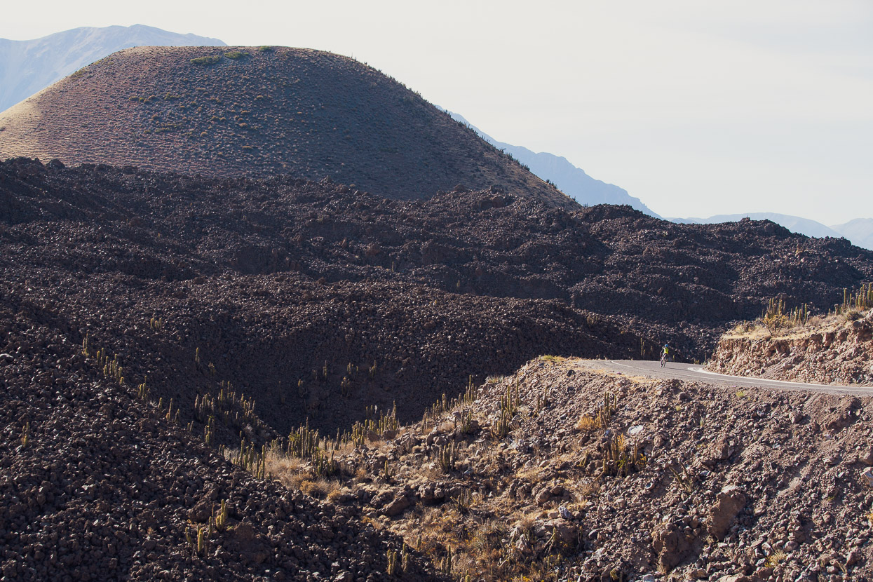
After dropping 1000 vertical metres we turned onto a dirt track and began the climb back out towards the village of Chachas, passing this long abandoned house on the way. Its hard to imagine anyone would try and live here.
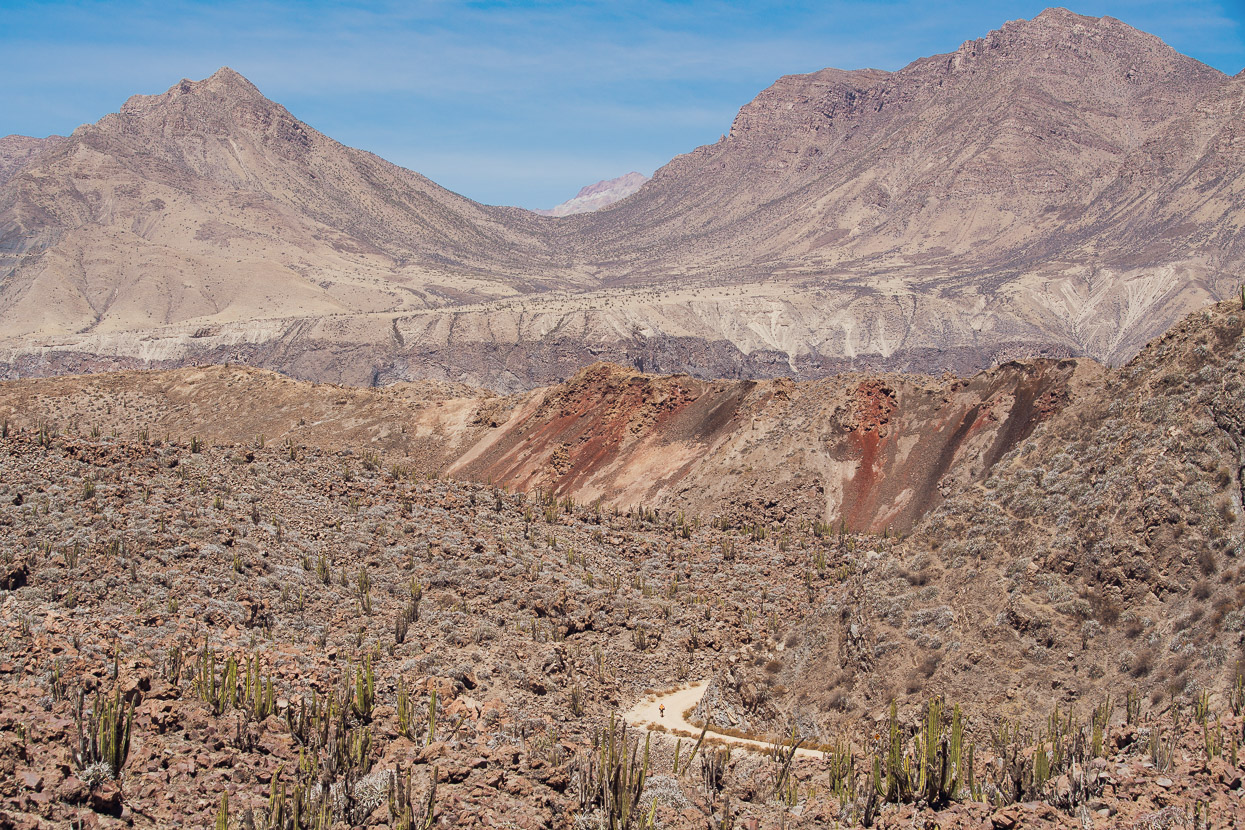
The speck on the road is James, dwarfed by mounds of lava.
There’s a good restaurant on the right as you take the main road into Chachas and we stopped and ate there, before picking up some more supplies at a tienda. While we were in town we noticed a large wildfire blazing on some bluffs above town, but thought little more of it. We’ve often seen small burn offs get a bit out of control and then die out.
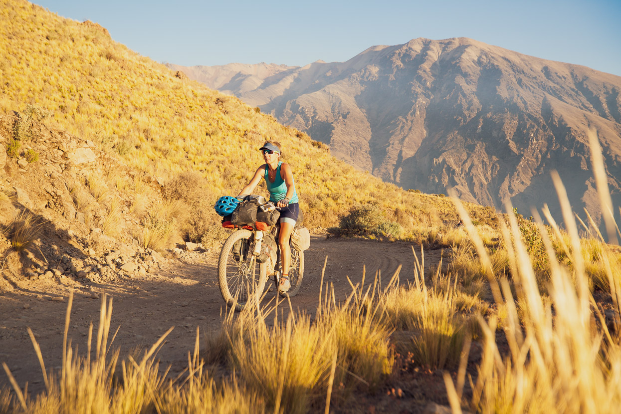
From Chachas it’s a huge climb from 3040m to the next pass at 5203m. We wanted to make a good dent in it that afternoon, so spent until nearly dusk climbing up the dusty, switchbacked road, all the time with epic views back to the Valle de los Volcanes.
We found a good campsite (there are very few decent spots) with epic valley views and settled in for the night. To our west the fire appeared to still be burning, with smoke billowing into the sky and as evening fell we could see the glow of the fire, but we believed ourselves to be safe, separated from the fire by a prominent gully.
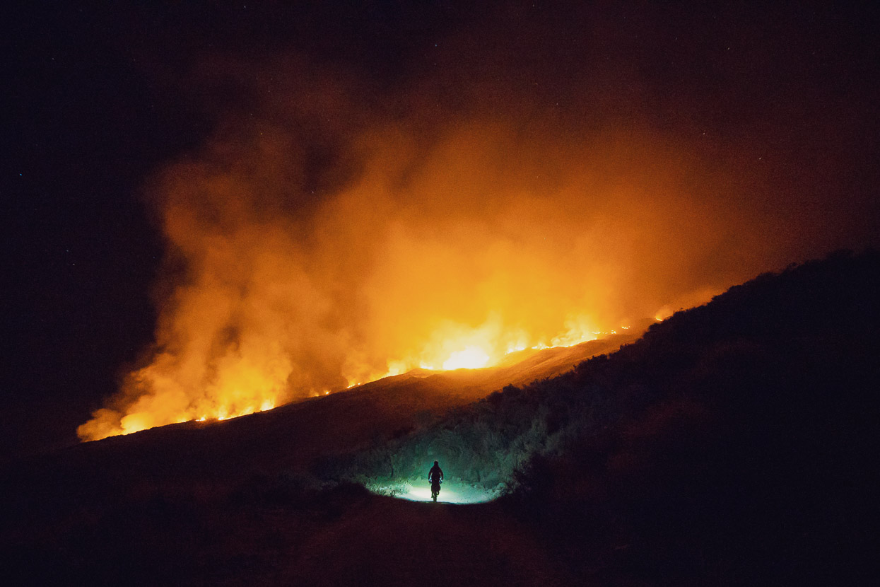
It was below freezing soon after the sun set (we were at 4000m) so we settled into the tents to cook, but had agreed to keep a watch on the fire every hour, just in case. At about 7.30pm I got out of the tent and realised I could see flames: the fire had already crossed the nearest ridge and was ripping into the tinder dry grass and scrub.
It was a very quick decision to bail, and in 30 minutes we’d completely packed the bikes (it normally takes an hour!) and were ready to roll. At that point we were uncertain as to whether the fire had already crossed our descent, and we rode down hill tentatively, unsure of what we might find. Fortunately our escape path was clear – just. At it’s closest point the fire was about 200 metres from the road and burning furiously.
We made it to town and settled into a basic hospedaje for the night, wondering what progress the fire might make overnight. The fire was mostly out of sight of the town and people there seemed a bit oblivious as to its scale.
Before we even woke in the morning, town seemed to know all about it though. There was an announcement over the village PA before dawn that a state of emergency had been declared and people were requested to go up the hill to fight the fire. Meanwhile the town’s womenfolk were ordered to cook food for those going to fight the fire. Everybody was pitching in.
We were zombies from the hard riding day and late night caused by our evacuation so spent most of the day eating and sleeping. By late in the afternoon word was starting to come through that the fire was under control and that the road was clear, so we planned to try and get a ride on a truck back to our high point early the next morning.
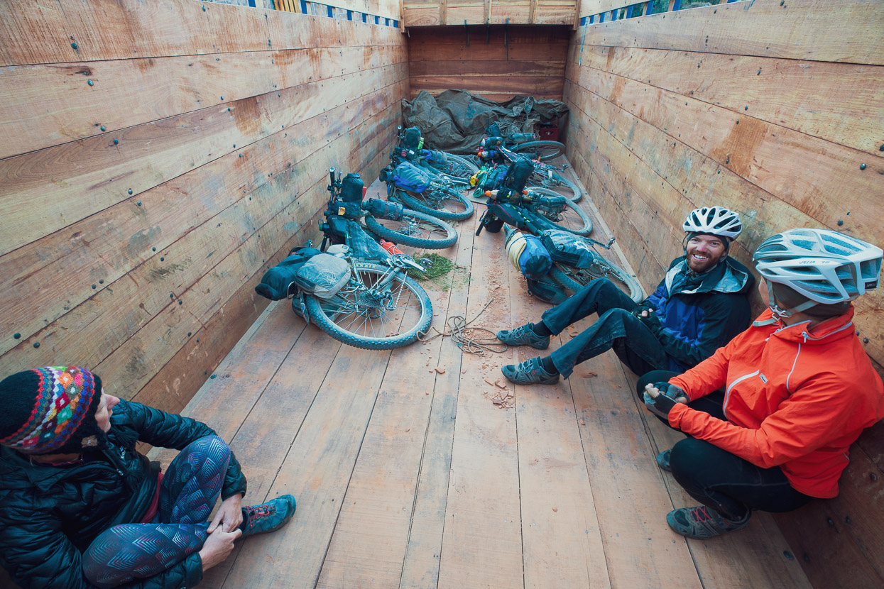
At 6am we loaded the bikes into a truck taking food supplies up to one of the mines. Assured that the road was now safe.
As it turned out the fire had crossed the road below our camp (we’d left in the nick of time) and had come within a couple of hundred metres of camp. Much of the mountainside was scorched.
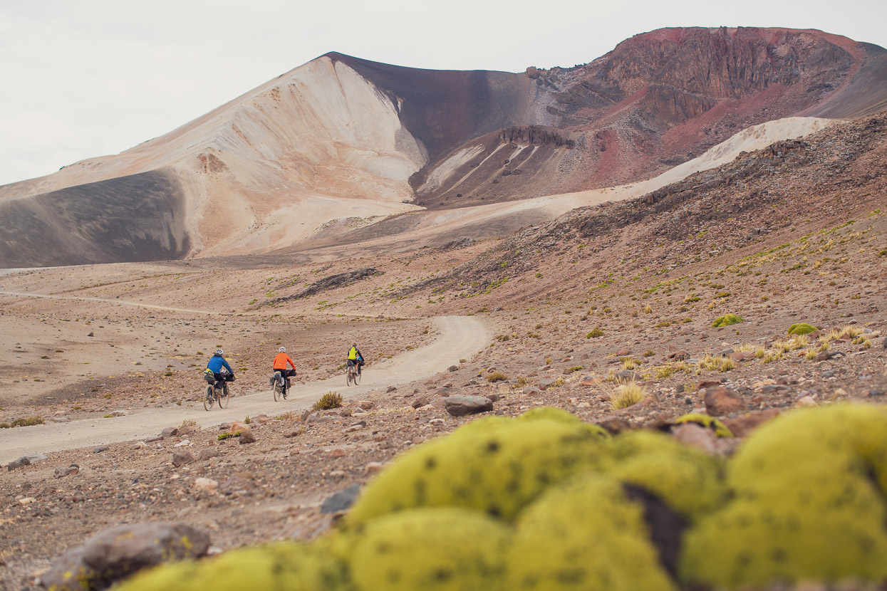
With that frightening chapter behind us it was good to get moving again, as we climbed steadily towards 5000m through a polychrome landscape.
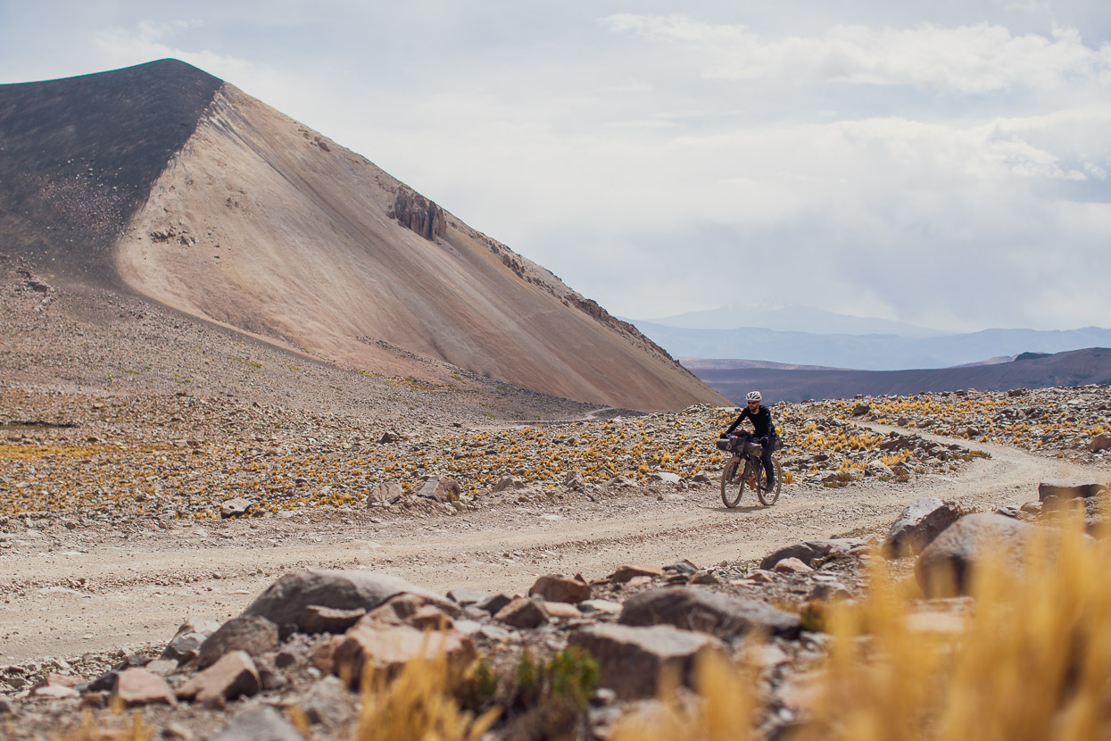
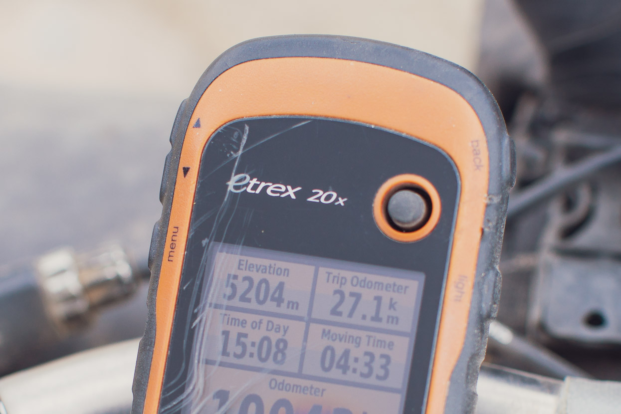
5200 metres was a big achievement for Anna and James, considering how much they’d suffered from the altitude just a week before. It’s amazing how well the body adapts when you give it time. For me and Hana it was a new height record on the bikes. We descended off the pass, past the mine entrance (no problems – but for more details see notes on the Bikepacking.com route info.) and rode onwards to stop and camp for the night by a small stream.
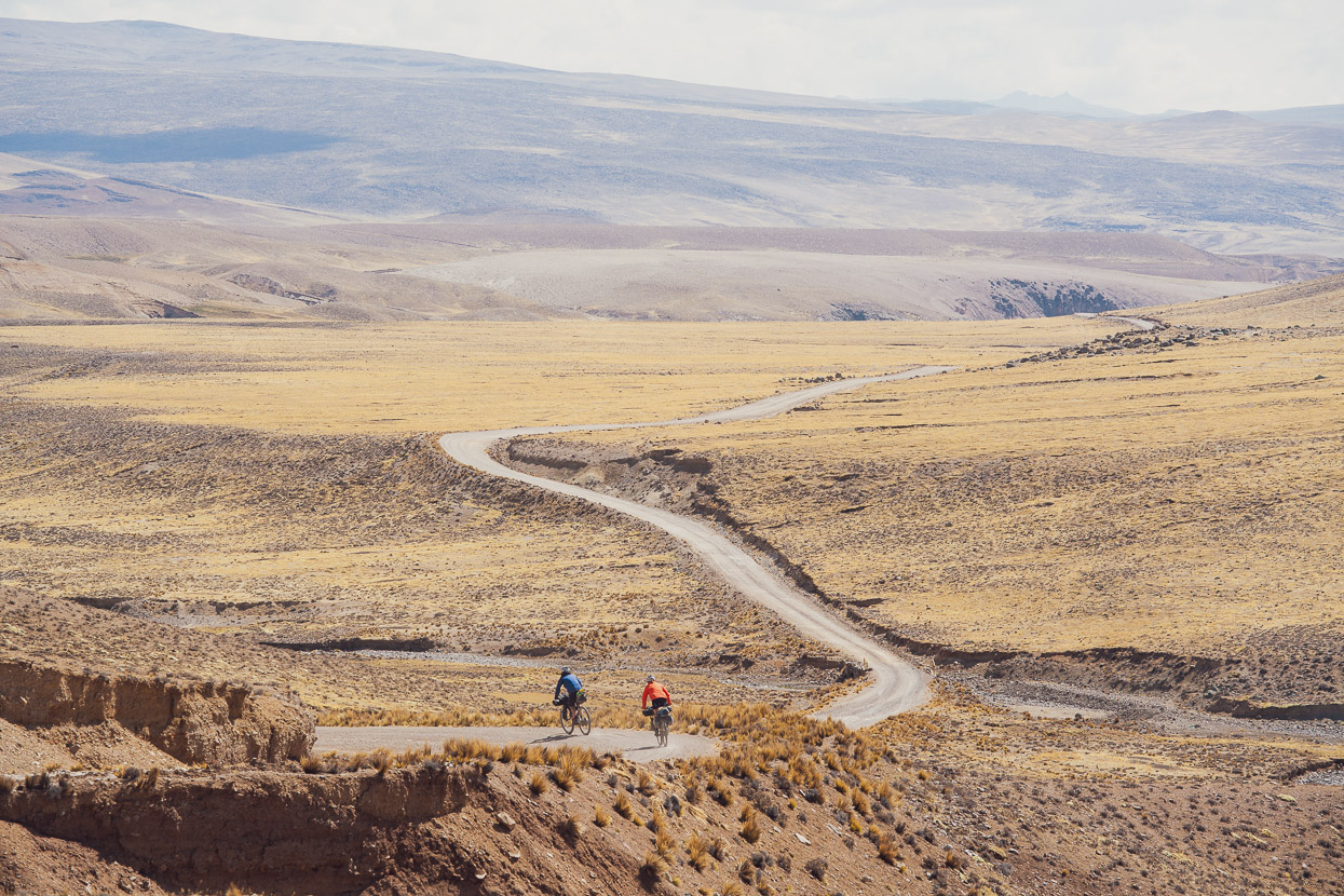
The following day it was open pampa and some stiff headwinds as we headed towards Caylloma.
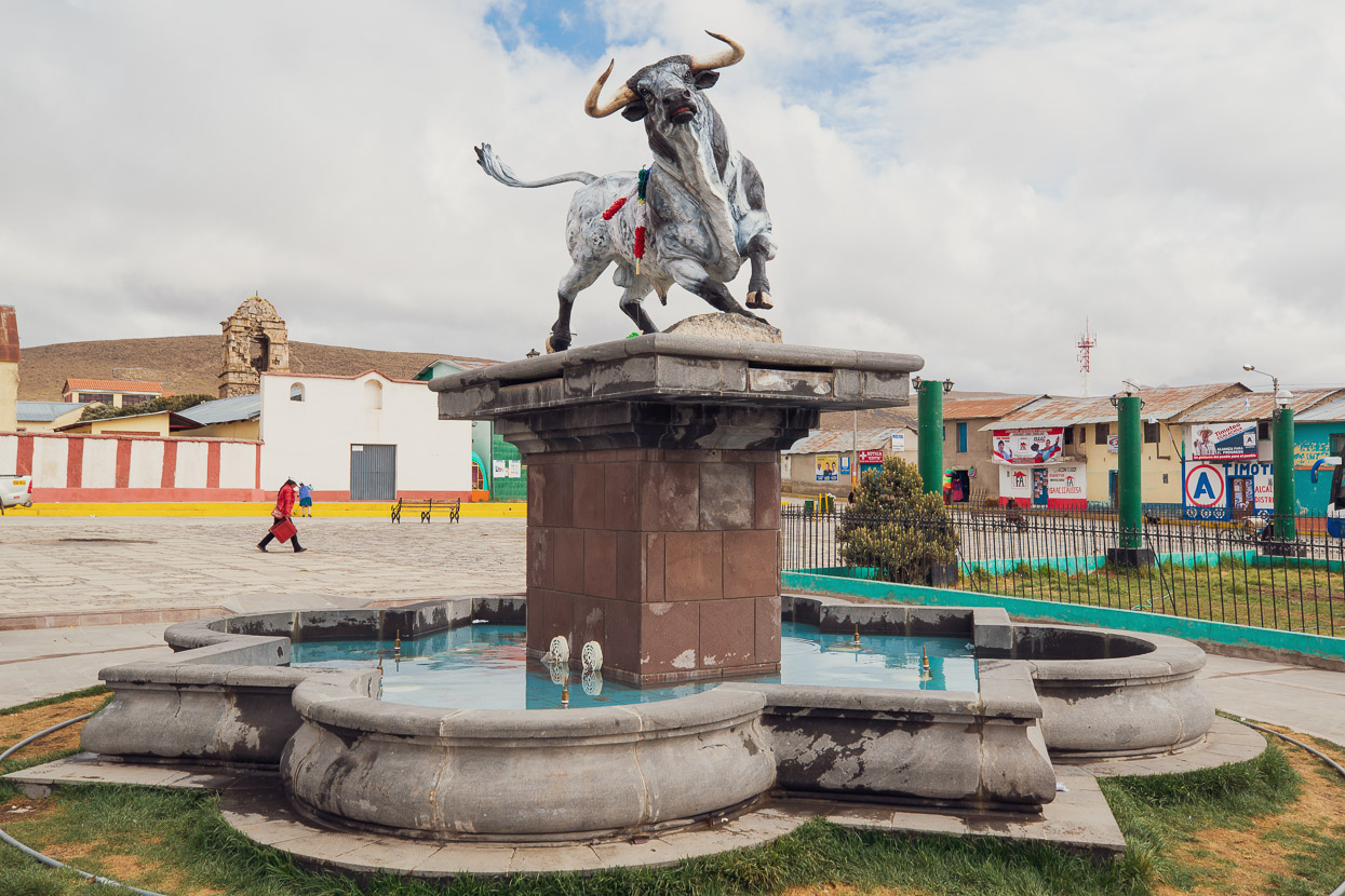
Caylloma’s a wild west sort of mining service town – probably once a small farming settlement – that has expanded beyond its historic centre to cater for mine workers and related industry.
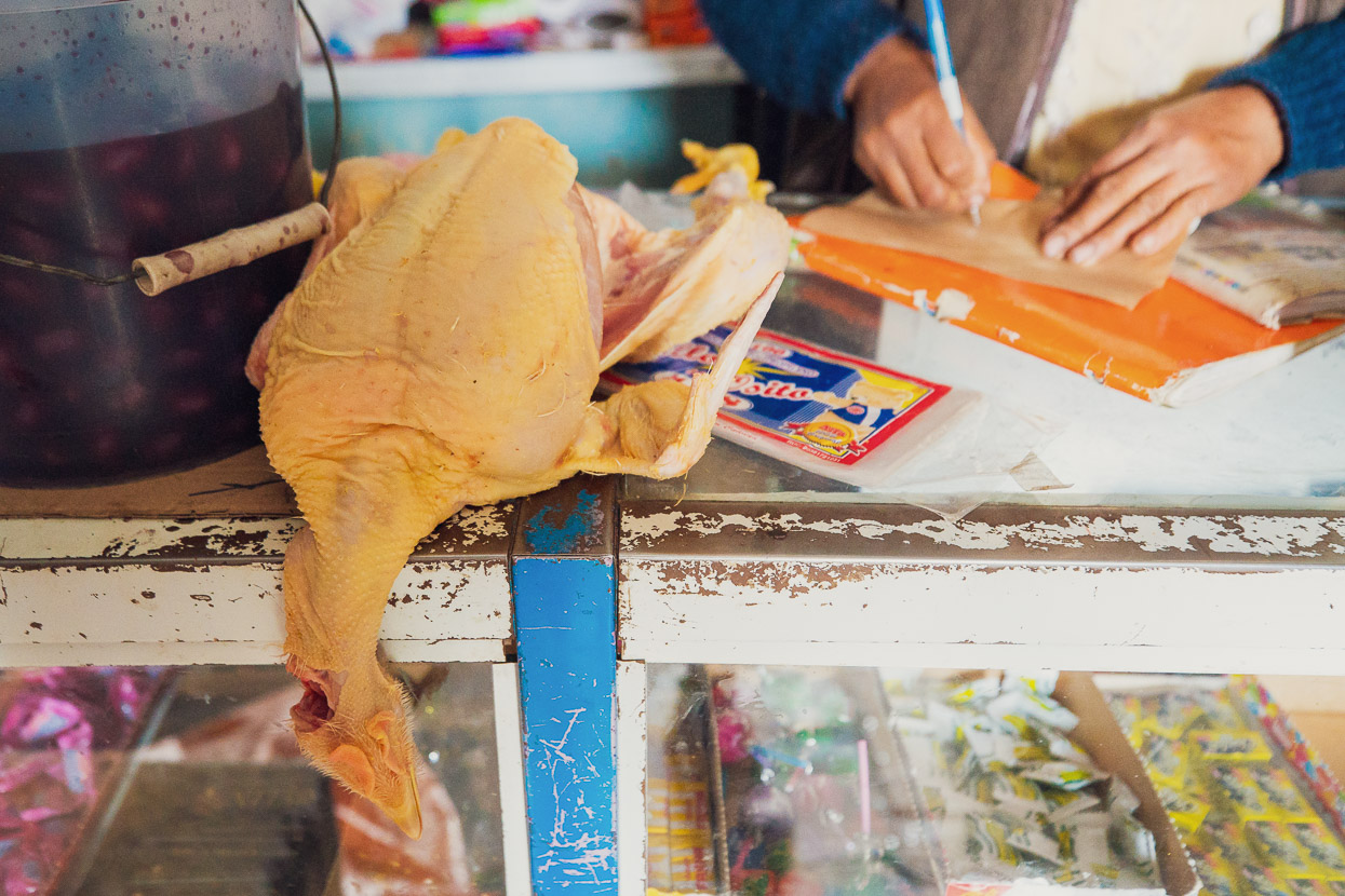
We struggled to find a restaurant when we arrived because everybody had headed to the town’s prominent bull ring for a bull fight. The photo-journalist in me wanted to get among the spectacle, but I didn’t want to see the poor bull get speared, so we sat outside eating alpaca steaks and potatoes from a street vendor and then went in search of a room.
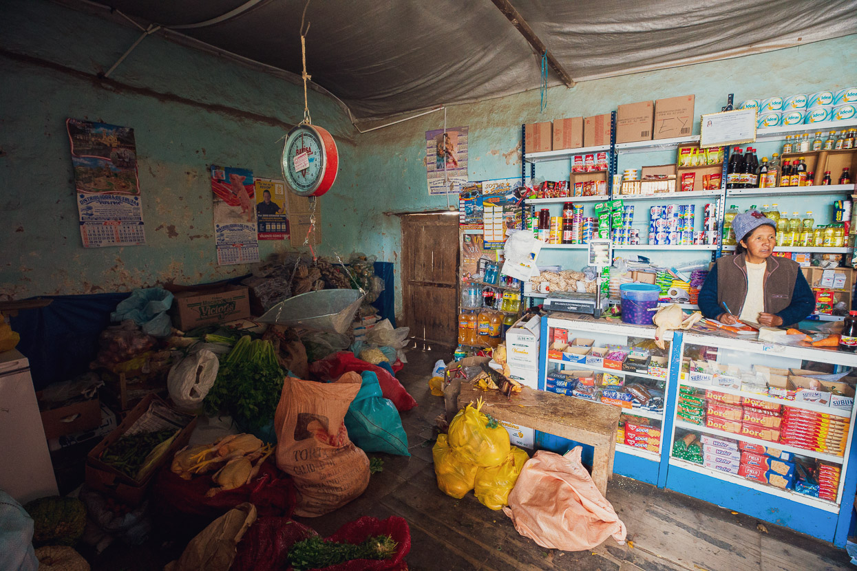
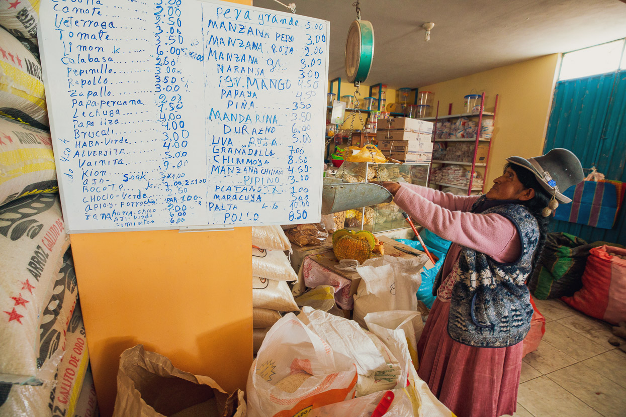
Anna and James were feeling a bit knocked around by the high pass and the sustained time above 4000m, so we decided to call a rest day the next day and hung out in Caylloma, resupplying with fresh fruit and road snacks from the rough and ready, but well-stocked, stores in town.
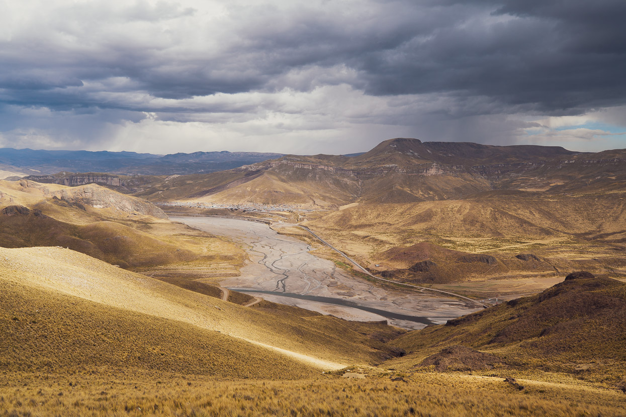
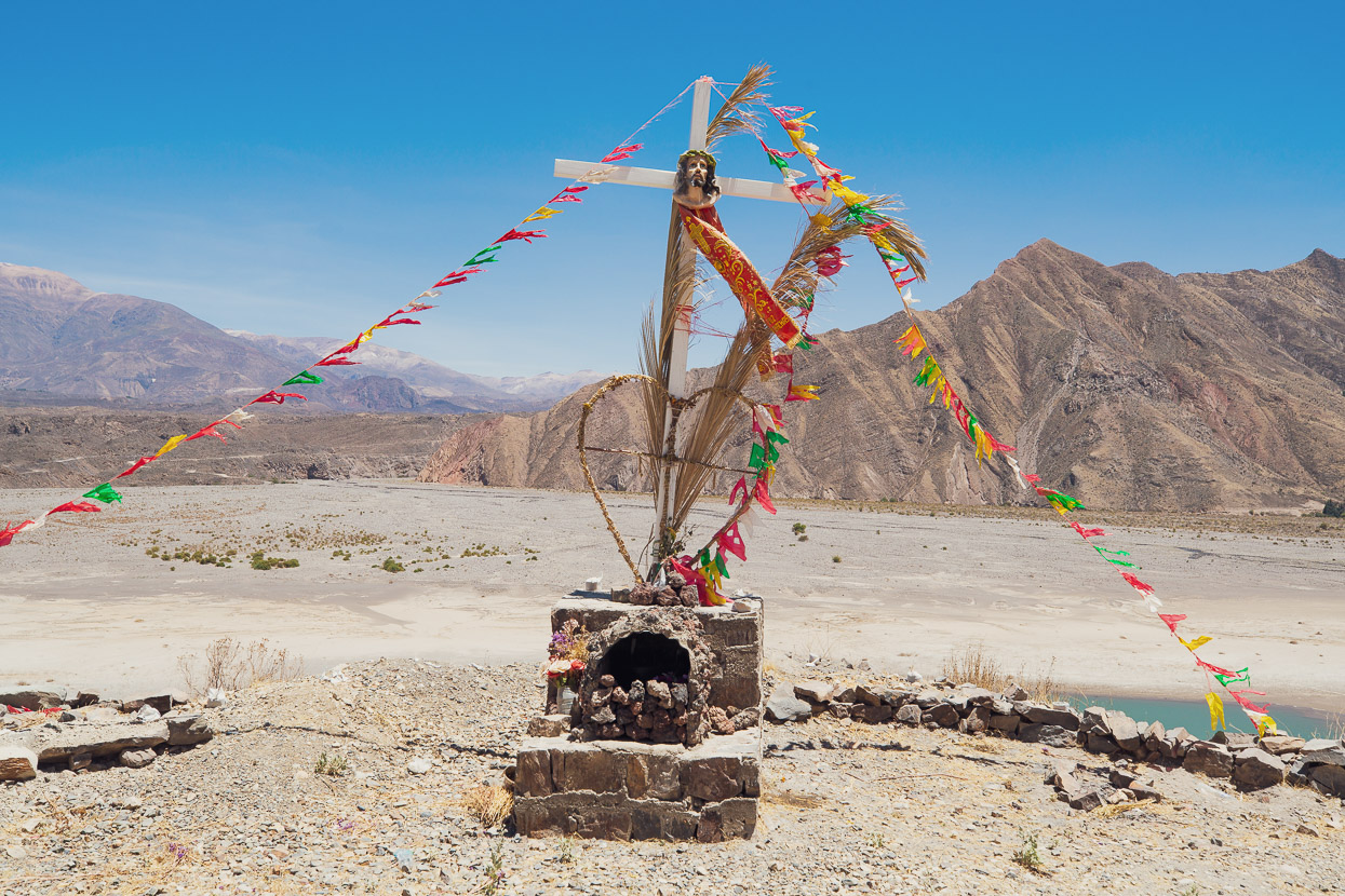
After another day’s ride we found ourselves dropping into the upper Colca Valley as a thunderstorm started to throw hail and blow us around the road.
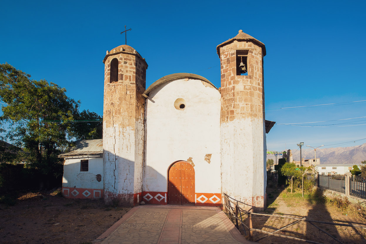
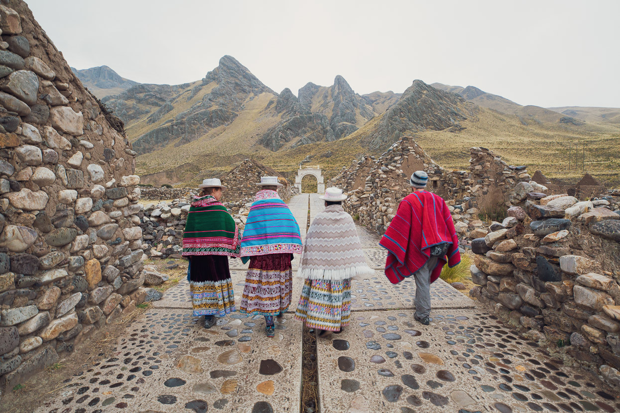
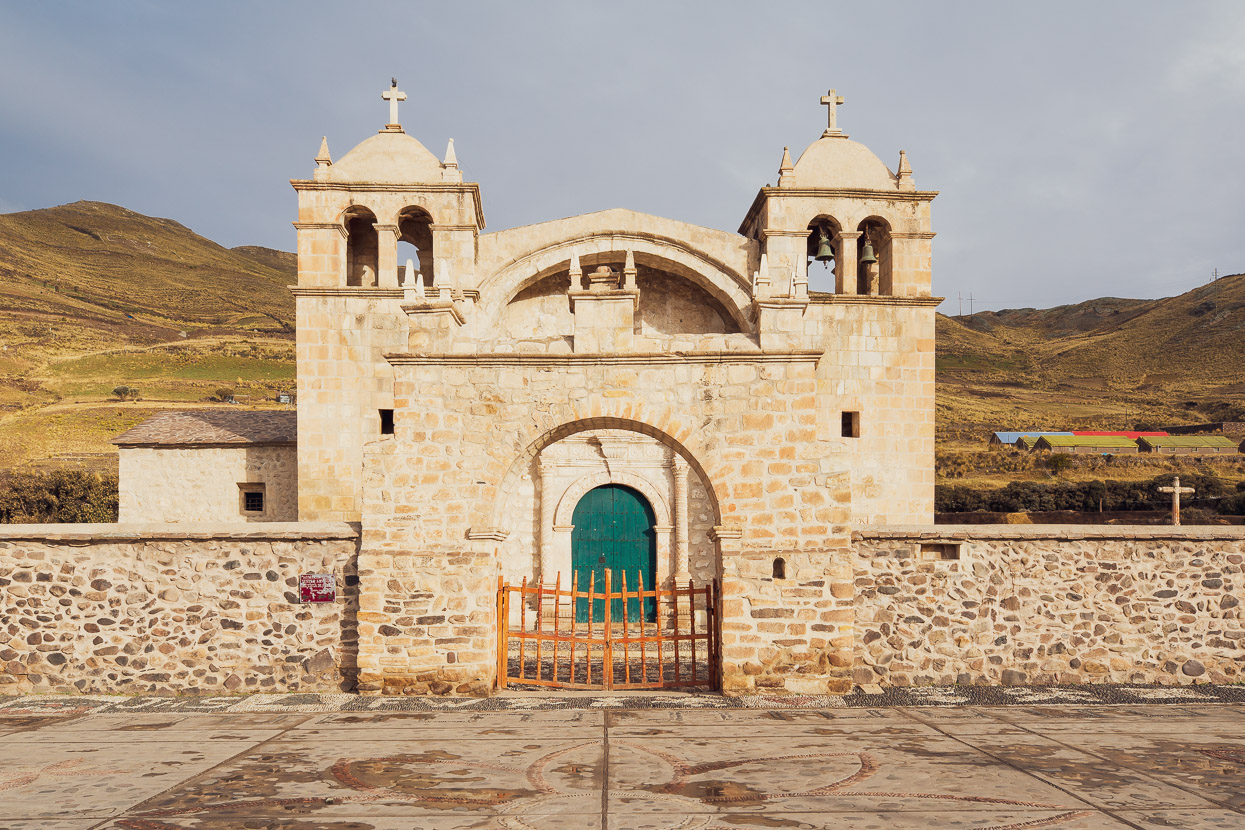
We didn’t have big expectations dropping into Sibayo, thinking we’d settle into a hospedaje for the night and emerge when it was time to eat. But it turns out this historic village is very well preserved and restored – a pueblo de piedra (town of rocks) and is on the gringo trail as a popular overnight stop for tours from Arequipa. The indigenous people who call this mountain village home run basic homestays and it took all of about two minutes from arriving in the plaza until Ruth Supo had invited us to her home.
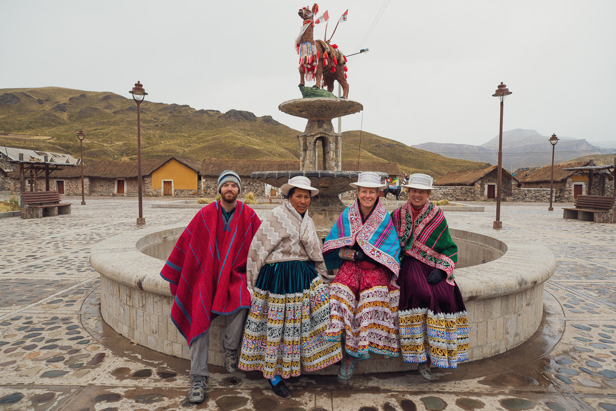
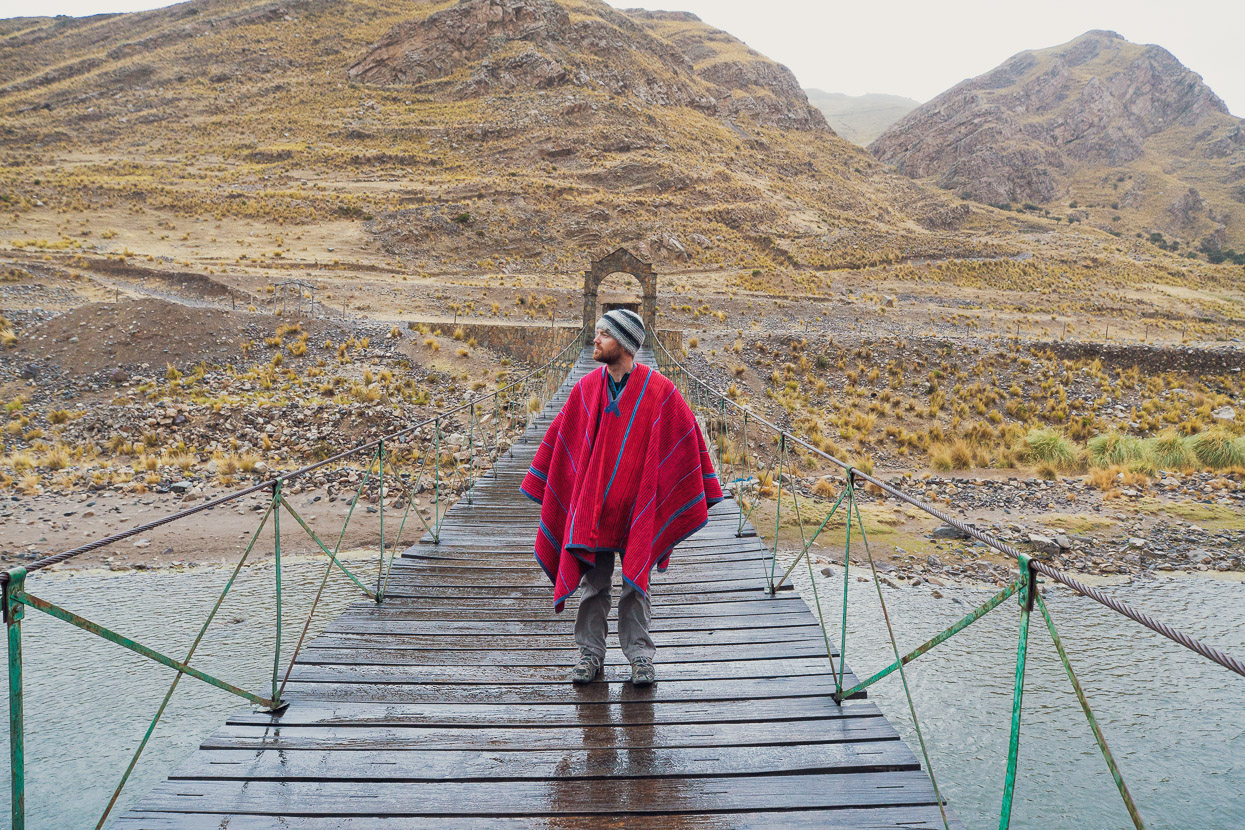
Not only did she give us some beds and offer to cook food for a reasonable (but touristy) price, but she insisted we dress up in local traje and come for a walk around the village. It was cold and raining, but those ponchos definitely help keep you cosy.
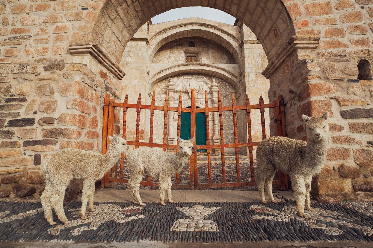
I went for a walk early the next morning and found the plaza deserted except for three baby alpaca – and quite tame they were.
Town is very much in two parts, with the restored section close to the plaza, and then a crumbling outskirts where dozens of abandoned homes are slowly returning to the earth.
From Sibayo just two days riding separated us from the finish in Arequipa.
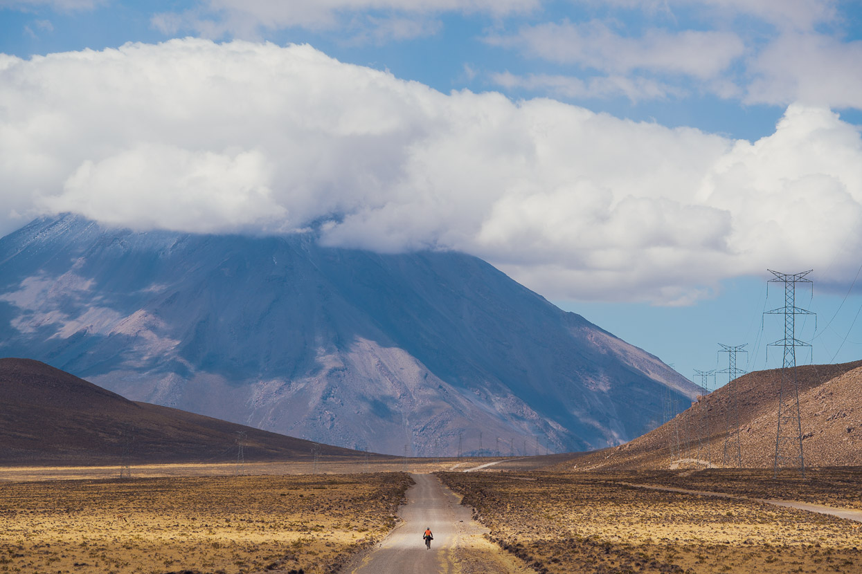
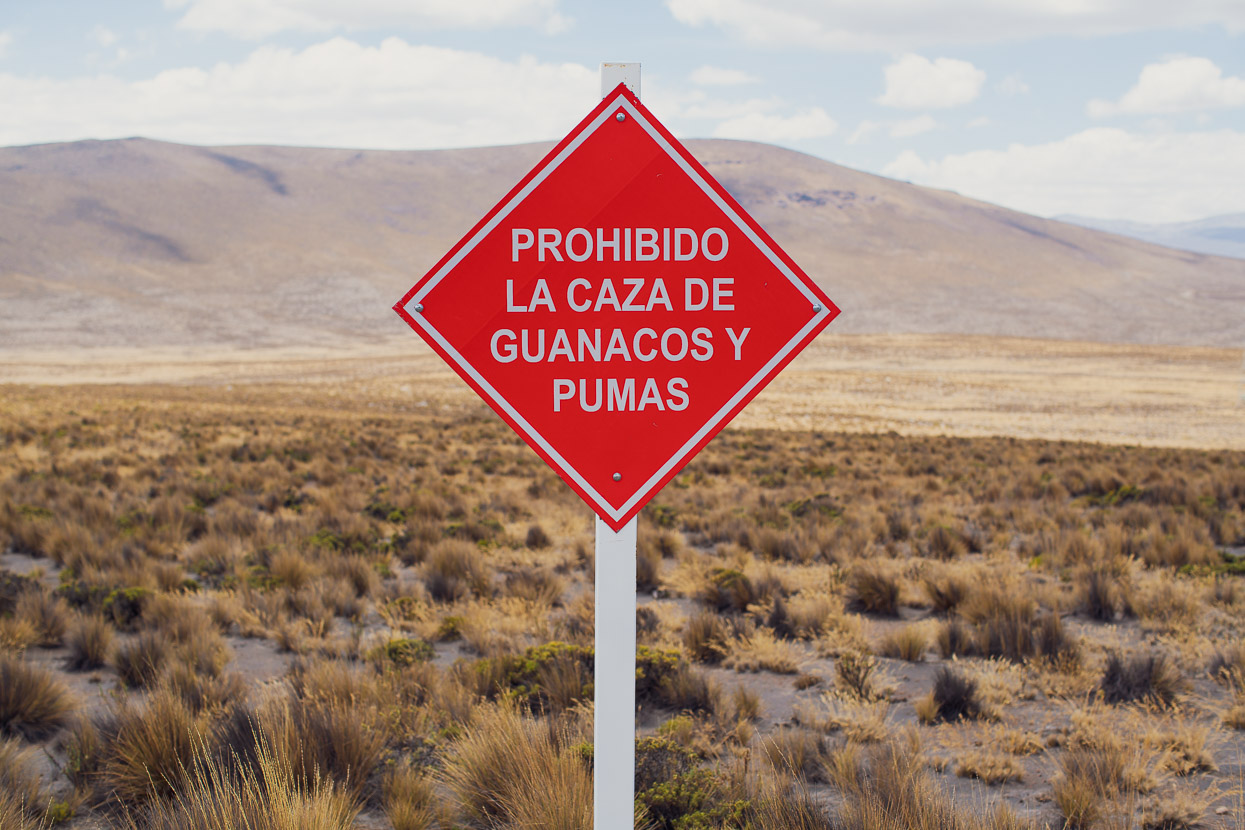
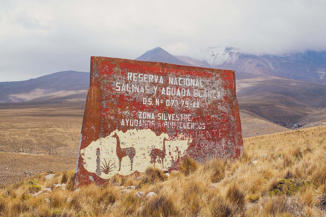
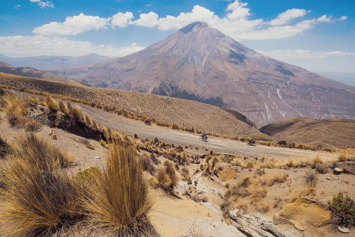
And a grand finale it is. For the final kilometres the route takes a windswept path between the towering massifs of Volcans Misti (5800m) and Chachani (6075m). This ~4000m plain is home to puma, guanuco and vicuña and makes a great final section as the road heads towards a rough and dusty descent that drops towards Arequipa 1600 metres lower.
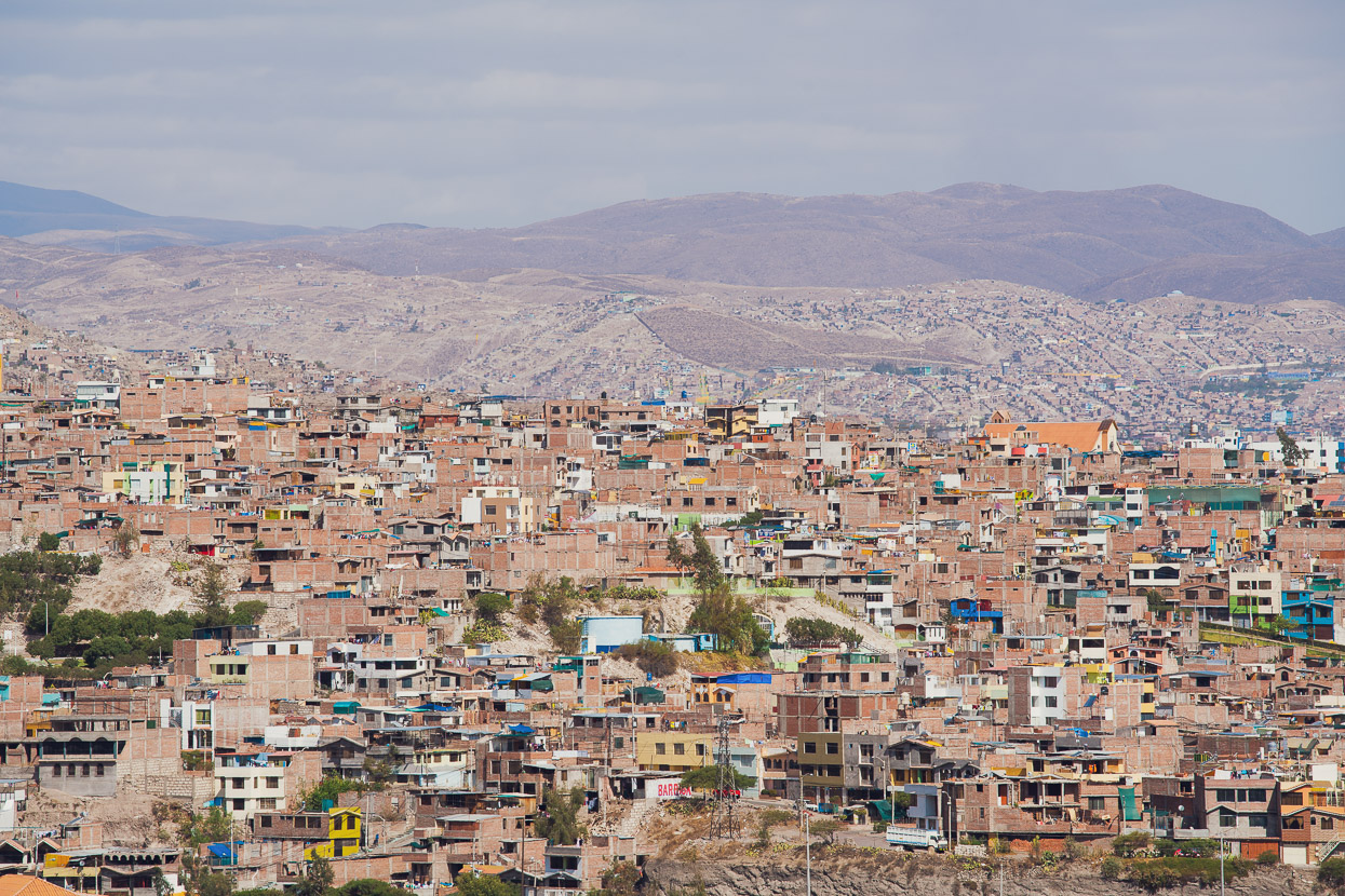
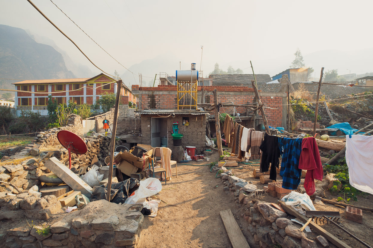
This is the ‘good’ part of the outskirts of the city. The further out suburbs were shockingly poor, with no electricity, running water or sewage. Arequipa is Peru’s second biggest city – famed for its agreeable climate, beautiful colonial centre and volcanic skyline, but like many big cities the level of inequality here is huge.
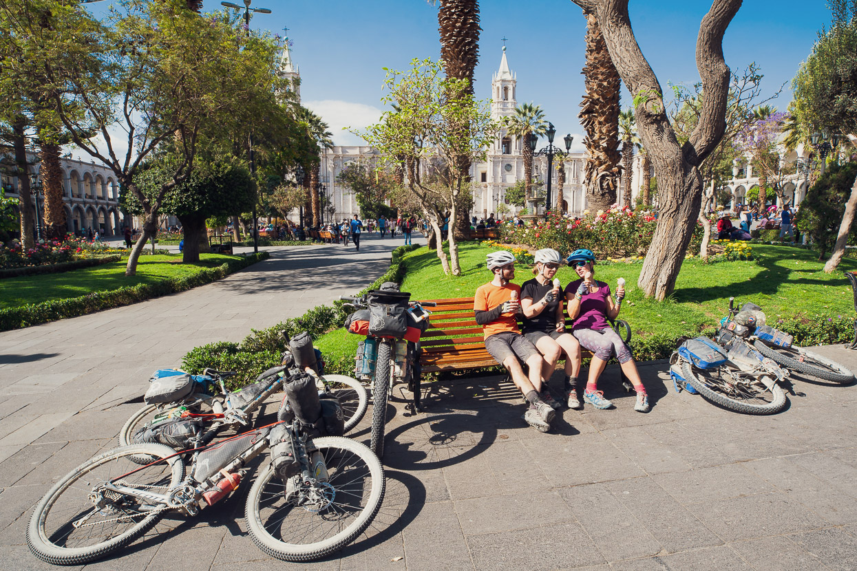
The centre of the city is a different story, with well kept gardens, oodles of history and cheap ice creams! A prefect place to finish a big chapter of the ride and to say goodbye to Anna and James who have been amazingly good company for some pretty tough riding. It was sad to see them go!
As I write this, we’re still in Arequipa, taking a much needed extended break. We’ve been here 12 days now (leaving soon), but in that time as well as some quality resting and eating we’ve had a three day mini-adventure, climbing Volcan Chachani (6075m) under our own power from town. That altitude is a first for us and will be covered in the next blog…
Thanks for reading!
Do you enjoy our blog content? Find it useful? We love it when people shout us a beer or contribute to our ongoing expenses!
Creating content for this site – as much as we love it – is time consuming and adds to travel costs. Every little bit helps, and your contributions motivate us to work on more bicycle travel-related content. Up coming: Gear Reviews and GPX Tracks.
Thanks to Biomaxa, Revelate Designs, Kathmandu, Hope Technology and Pureflow for supporting Alaska to Argentina.


Awesome entry as always! I’m heading for Ushuaia in about two weeks from Lincoln, Nebraska, USA. I can’t even begin to express how excited I am about the trip and how thankful I am for your inspiration. Safe travels on the trails ahead!
That’s awesome Matt – have a great trip & thanks for the comment. Maybe we’ll cross paths?
That would be incredible, especially when I consider how much of your content that I will probably use as a guide. I’ve had my eye on the trip for the past decade, following every iteration of the various travel journals that have documented it during that time. It is obvious to me that you are currently setting a brand new benchmark for documenting the trip. Thank you!
Unfortunately, my departure date has been delayed for up to a month. The build that I recently completed for the trip was stolen a few days ago. I had test ridden it less than 50 km. The replacement components and frame have been reordered, my refrigerator has been plugged back in for the time being (even though I can hardly eat), and I’m about tear my hair out. Keep your fingers crossed for me so that my insurance makes good on my claim. If they do, I can afford to pay you back for all the useful and groovy content that you’ve provided to me.
PS – The recent website retooling looks brilliant!
Thanks so much Matt – it’s always nice to have feedback. But damn – that is a total bummer about your bike. I’m really sorry to hear that. I hope insurance pays up and you can get some wheels and on the road! 🙁 Good luck!
This Peru leg of your journey seems like such as mind-blowing adventure. I’m wondering if it would be possible to use your Abancay to Arequipa journey to make a Cusco to Cusco loop heading back via Lake Titicaca? Just thinking this might be an option if I’d only have a month or so to travel in Peru. Are you now in the ideal time of year weatherwise for the Cones and Canyons?
You should definitely enter the Adventure Cycling photo contest: https://www.adventurecycling.org/adventure-cyclist/bicycle-travel-photo-contest/
And because I enjoy when your posts enter my inbox so much just sent over some spending money for a warm place to rest.
Hi Matthew,
Thanks for the donations – that’s so kind, and very much appreciated! Helps with the expense of getting these blog posts done somewhere with wifi!
Yes it totally be possible to do a loop from Cusco, incorporating all or part of our route. Fellow Kiwis Eileen and Andy did a sort of loop in this area – you can see it here: https://itsdownhillfromhere.com/route/
Technically we are outside the ideal time now. The weather in Arequipa is awesome, but in mountains further east and north it’s getting into rainy season now. June – September are the perfect months, with October/November being shoulder season months where the weather is stormier in the afternoons.
If you have never been to Peru before and only have a month, I’d probably focus in the Cordillera Blanca/Huayhuash area – it’s even more amazing. But it depends what you want to see.
Hope that helps!
P.s. apropos your Peru route question – you might interested in our latest blog post… (Arequipa to Lake Titicaca bikepacking route).
Aren’t you nervous some of those volcanoes could suddenly ‘blow their top’ ? After all, it’s not that long ago you visited & wrote about a town of several hundred people that had been completely obliterated & wiped out. It could happen again ?
You know how much I love your write-ups & photography; just brilliant to read about Peru, but beginning to get very repetitive to tell you again !! Keep your wits about you & travel safely. Loved the dress up skirts – very smart !