
El Ultimo Volcán.
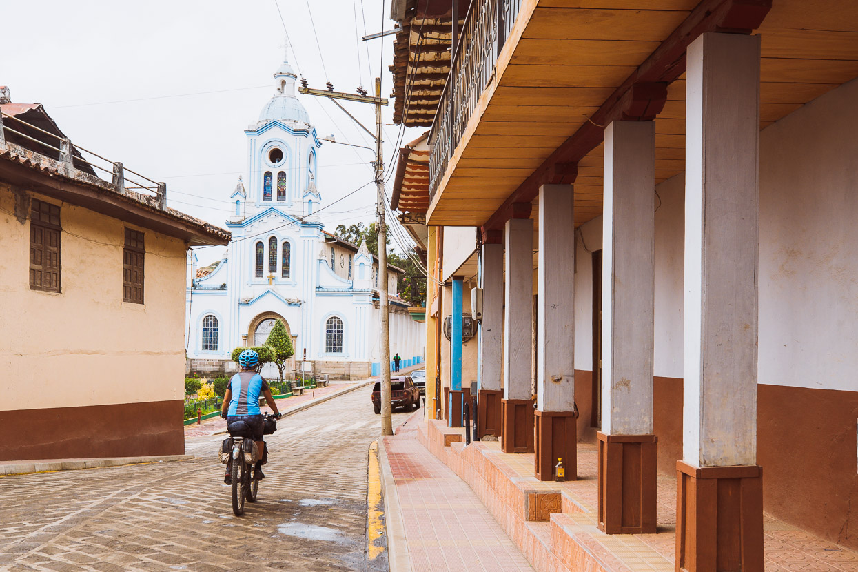
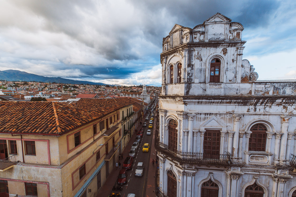
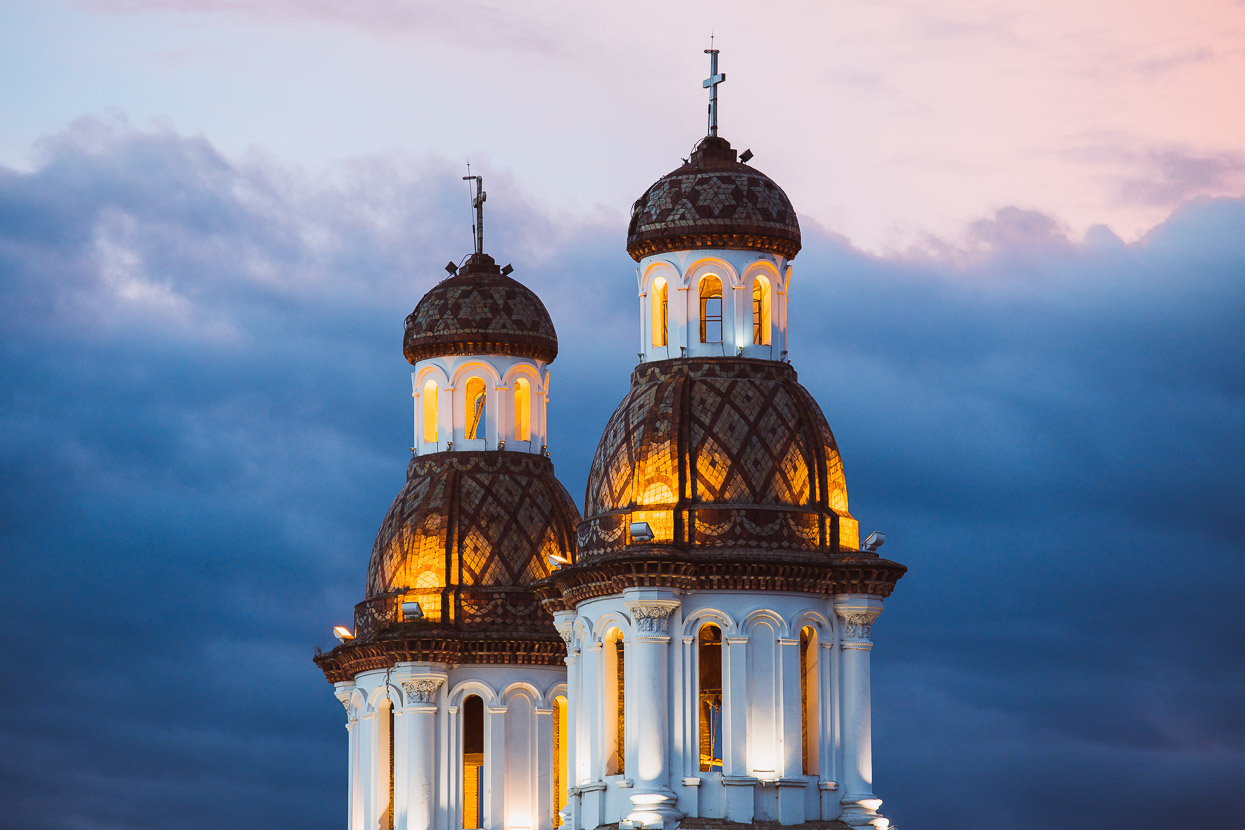
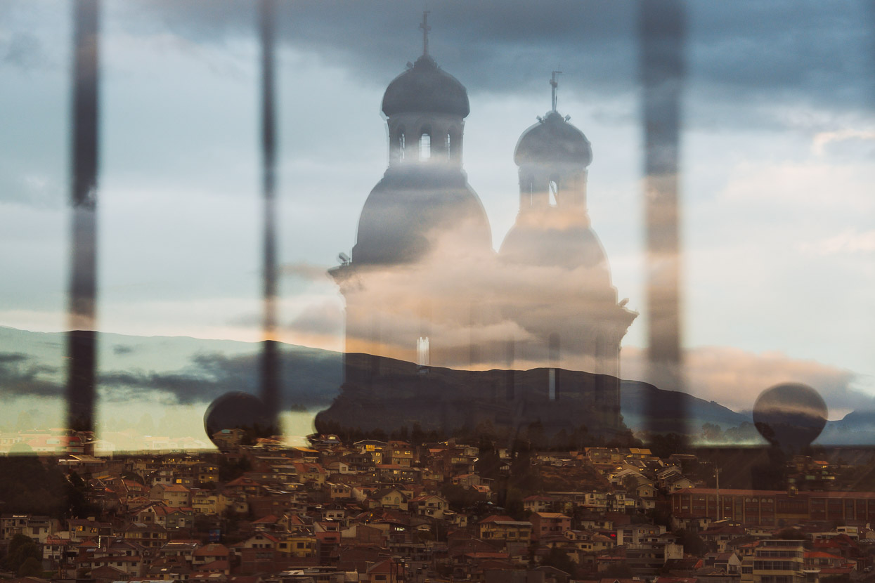
Three days off the bikes in the beautiful city of Cuenca has given me a chance to get this blog right up to date. The hostel we’ve found ourselves in has a great rooftop terrace, where I can look out over the terracotta tiled roofs and church steeples to the cloud covered hills that ring this city.
Finally we’re low (relatively) at 2500 metres and the warmer air and mild humidity has reminded us that we actually are still in the tropics after the mountain riding, cold and sometimes wet weather we’ve experienced in the past week. But the dry days are outnumbering the wet ones now and maybe by the time we ride into Peru in about a week’s time, Ecuador’s wet season will truly be over.
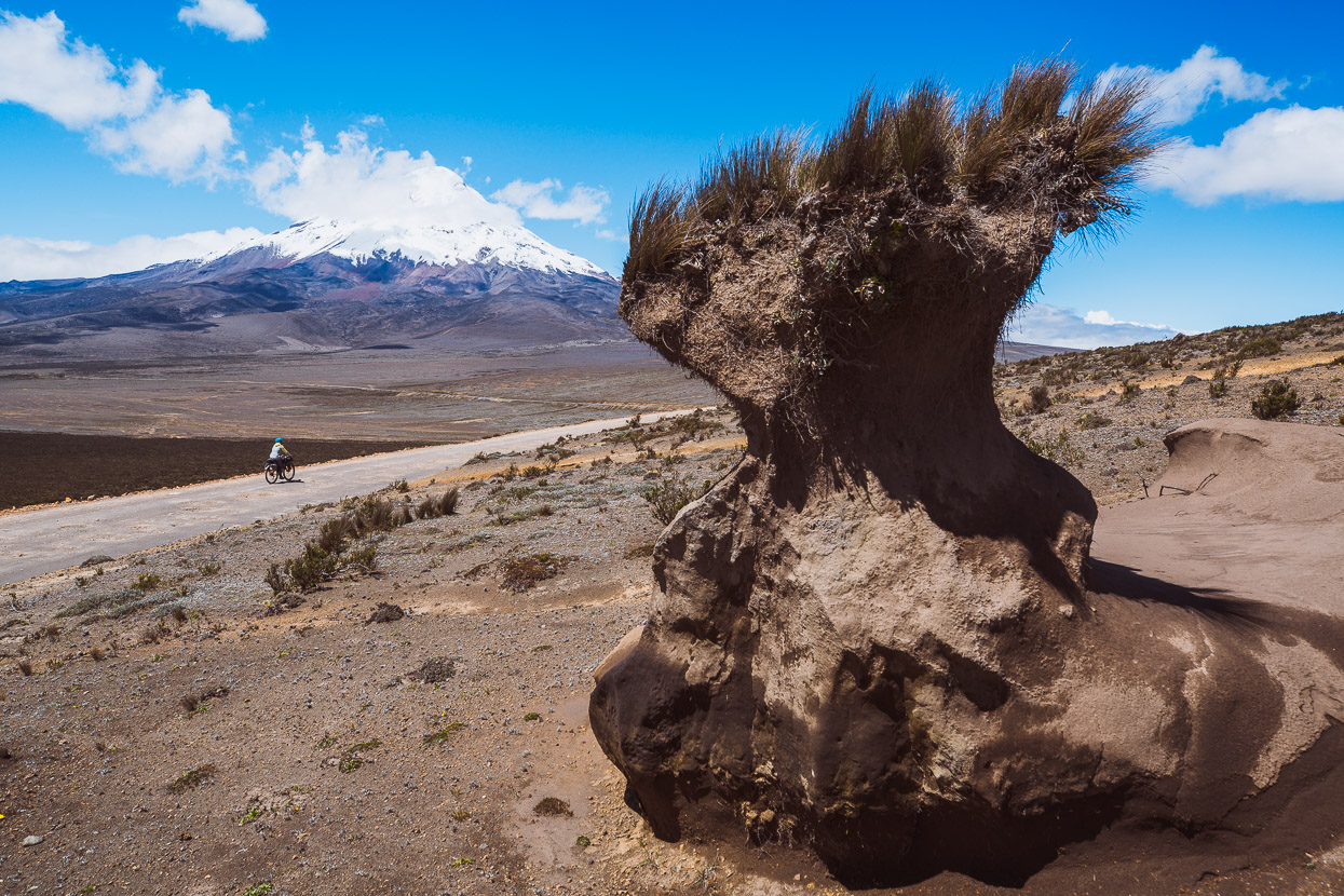
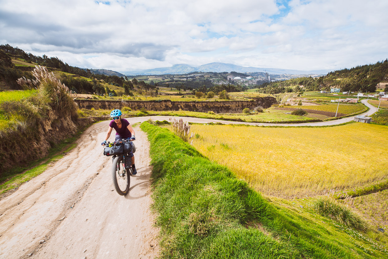
The last blog post left off in Salinas, just a day’s ride from Volcan Chimborazo, the last of the ‘Tres Volcanes’ along the route we’ve been following. We’d actually detoured off the Los Tres Volcanes route (which normally ends in Salinas) onto the TEMBR Dirt route to rest for a couple of days in Salinas, before continuing and combining the two routes through to Cajabamba. I’ll explain as we go…
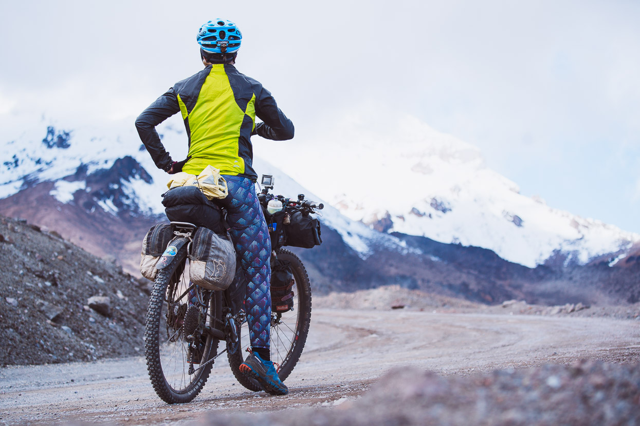
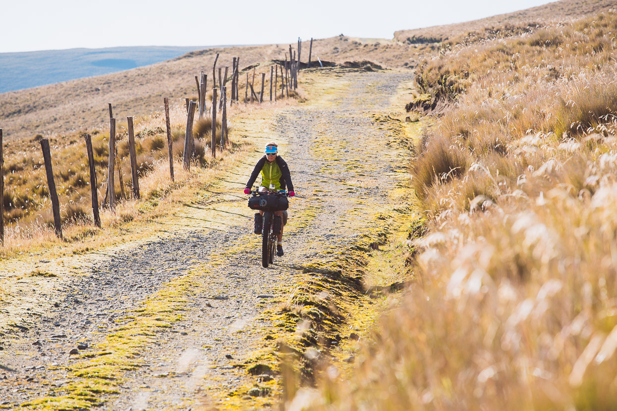
This shot’s climbing out of Salinas towards the higher volcanic plateau surrounding Chimborazo.
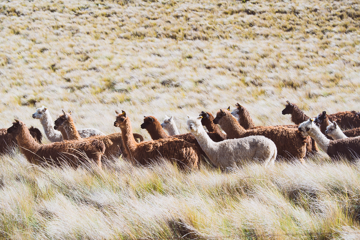
Passing herds of farmed llamas and alpacas on the way.
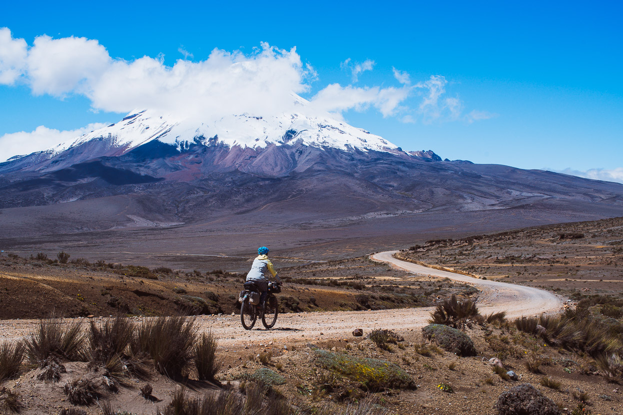
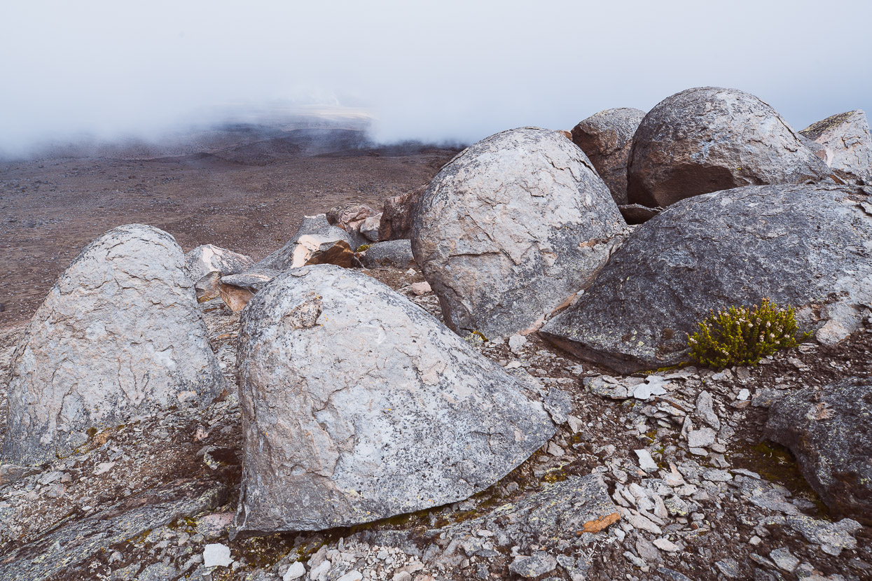
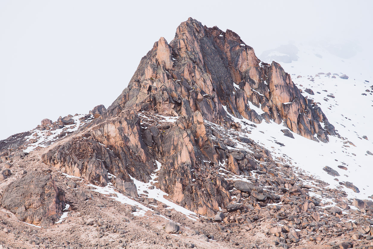
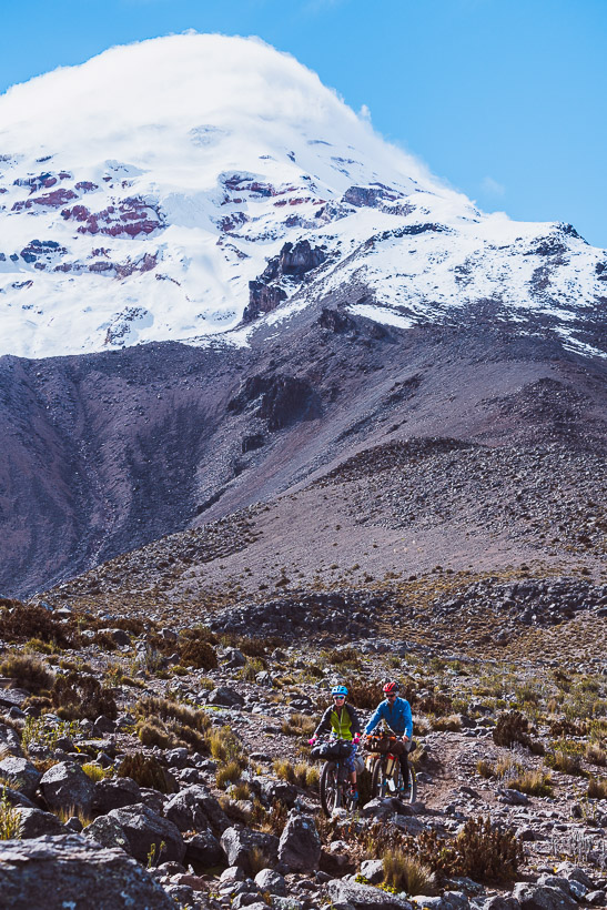
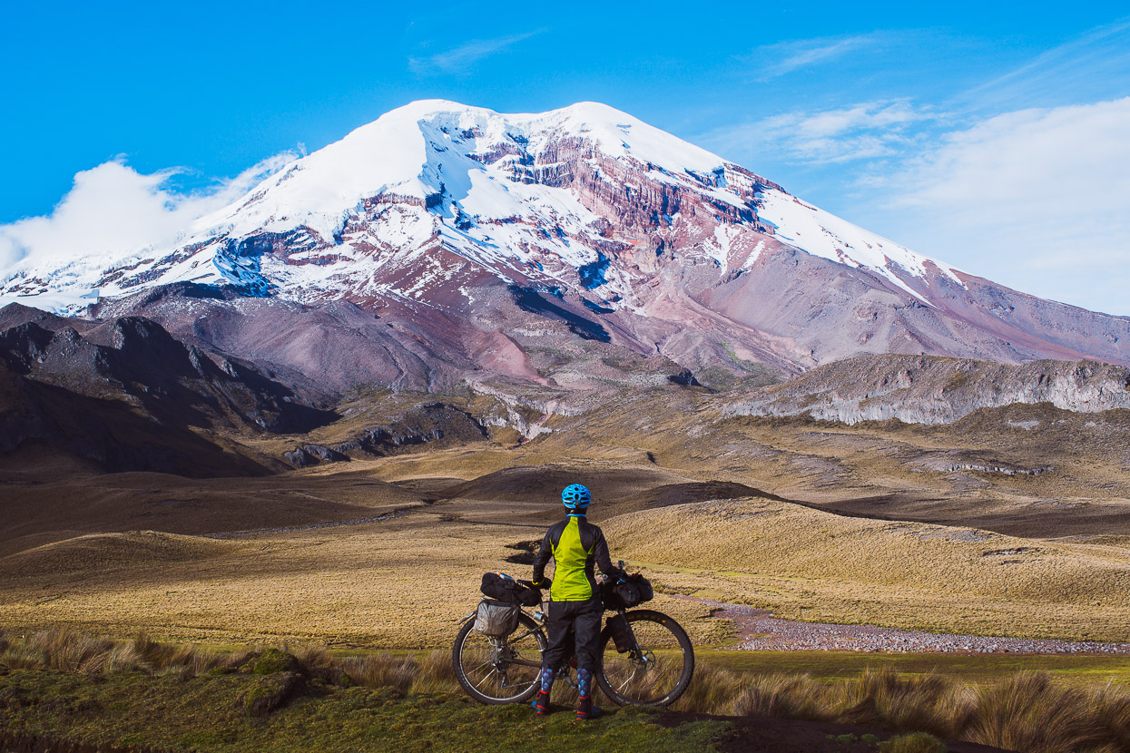
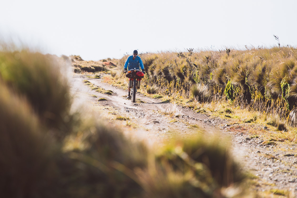
After a long and steady climb into a cold headwind we finally broke over a ridge onto the barren and dry volcanic slopes surrounding Chimborazo.
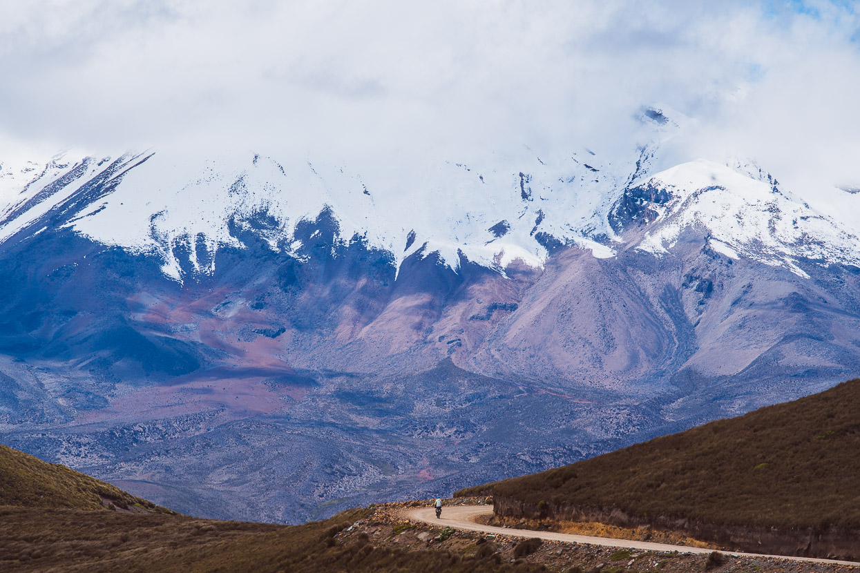
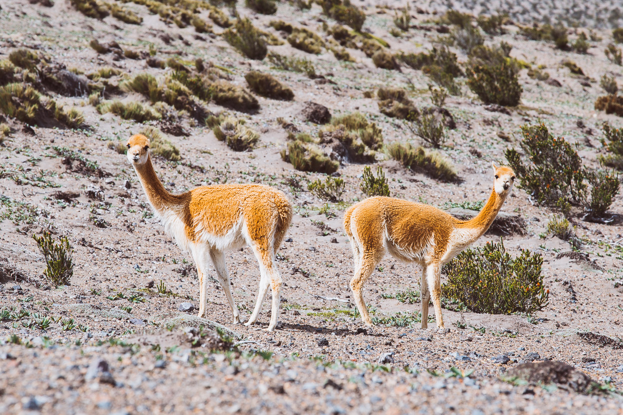
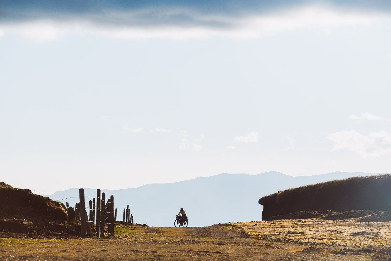
We rode to the national park entry on the highway at 4300m and then began the final 500m climb up to Refugio Carrel 4850m. Small herds of vicuñas dotted the landscape. These members of the camelid family are the wild ancestors of the now heavily domesticated llamas and alpacas.
4850m was a new height record for us on the bikes (by about 100m) and we were starting to feel quite dead in the legs as we spun our way higher through the desert-like landscape.
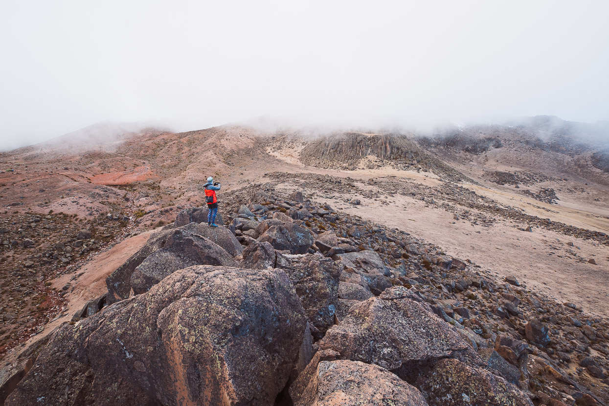
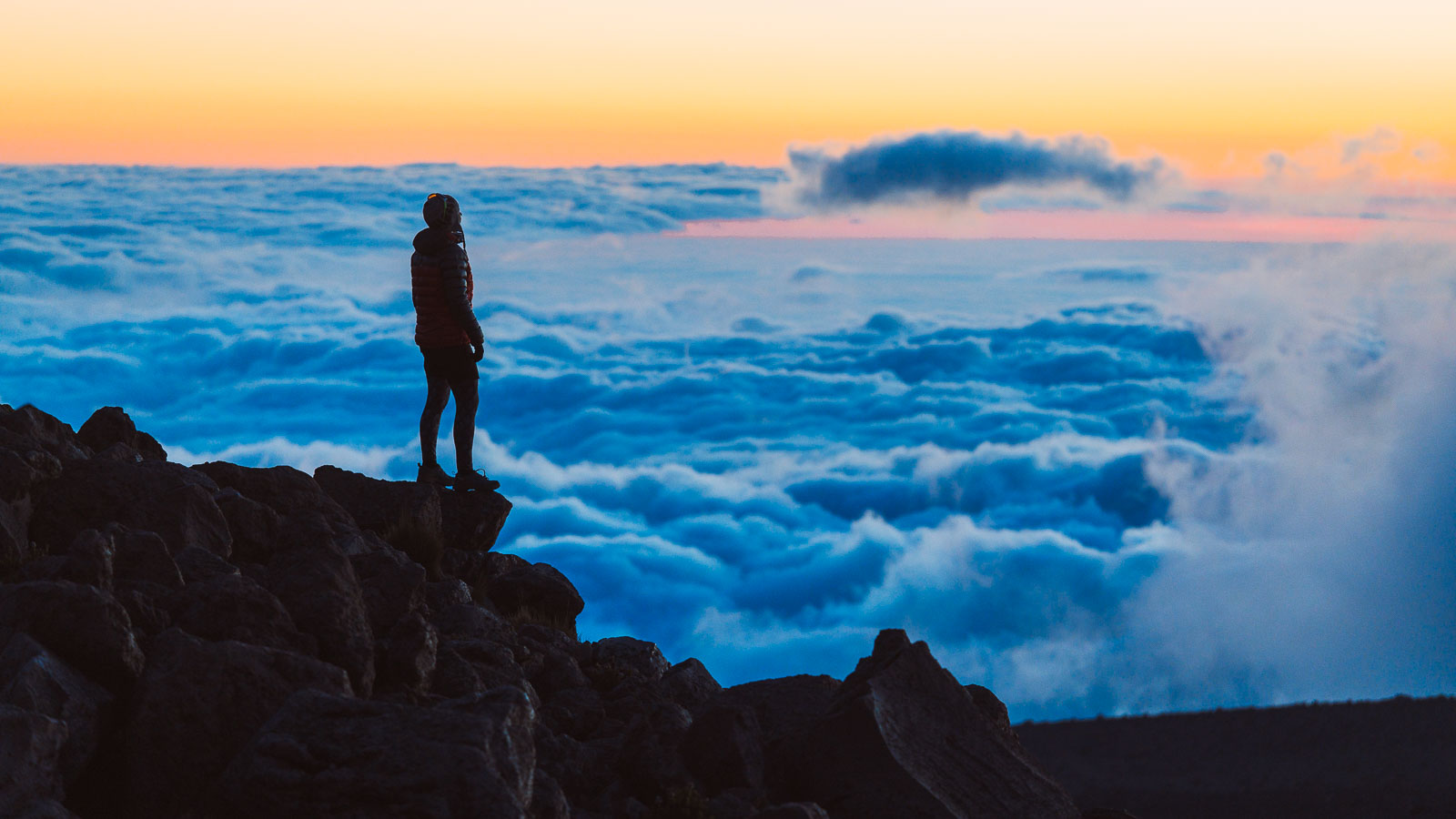
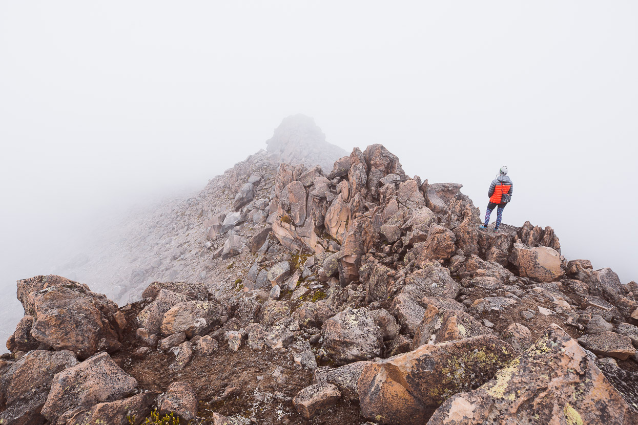
We checked in at the refugio and caught our breath over a couple of cups of coca tea before heading out to explore our new surroundings. We wandered out along a spur of giant volcanic blocks and hung out, watching the setting sun throw shadows across the landscape and bring details into relief.
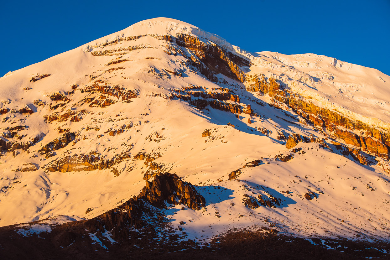
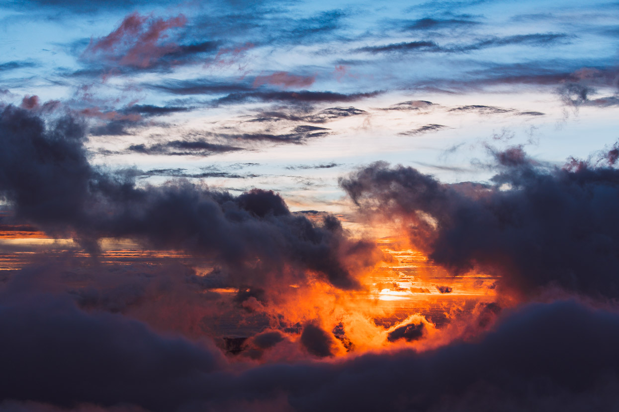
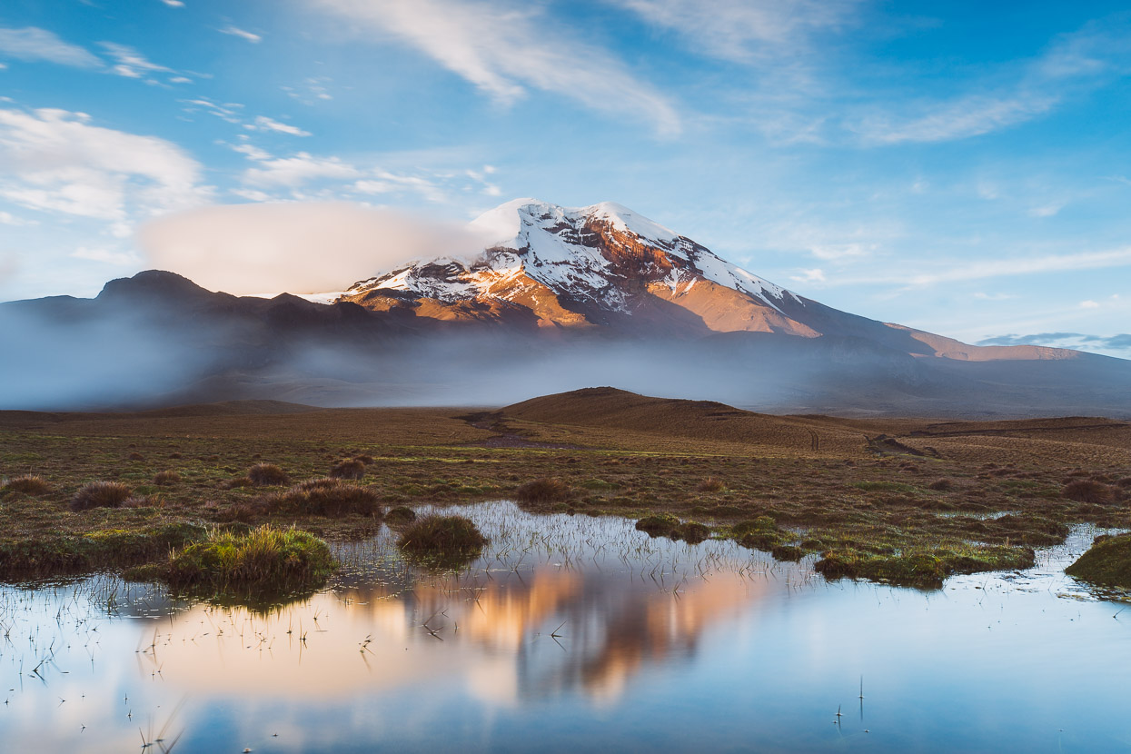
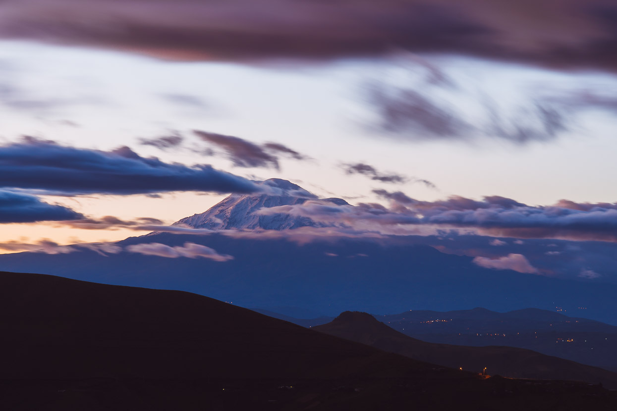
The afternoon cloud that had built up round Chimborazo’s summit dissipated leaving a crystal clear view of the upper mountain bathed in orange light. The summit is 6263m – 1400 metres above the refugio. Notably, Chimborazo is actually closer to outer space than Mt Everest is, due to the planet’s ‘equatorial bulge – making it the furthest point from the centre of the Earth. Chimborazo – a Quechua name – is assumed to translate to ‘burning snow’.
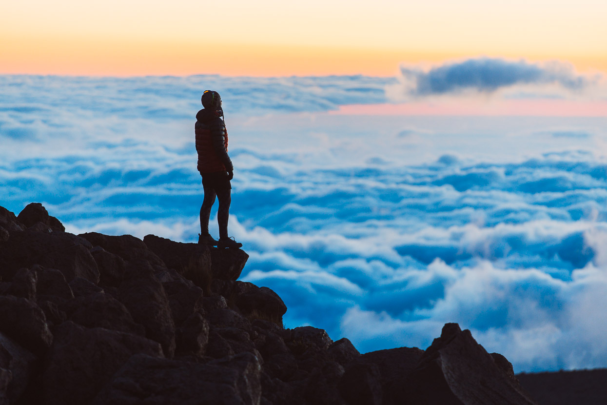
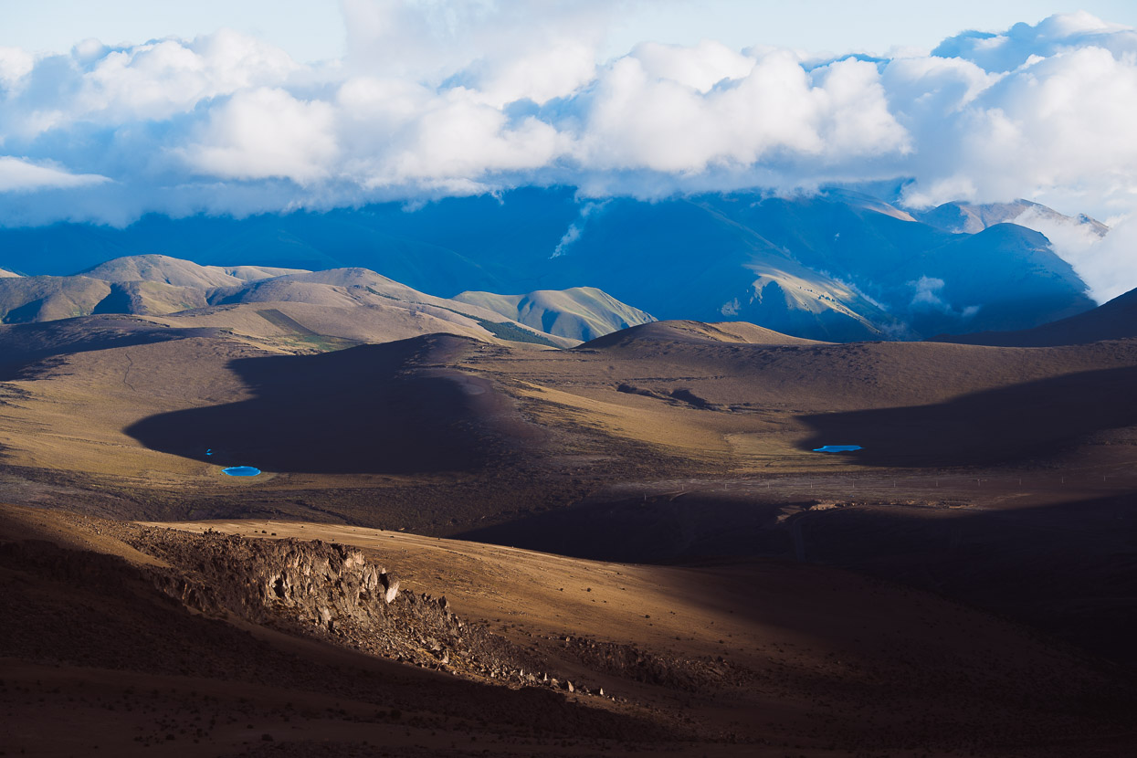
While the summit glowed above us the land below became obscured with gently moving cover of cloud.
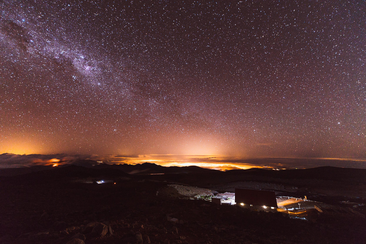
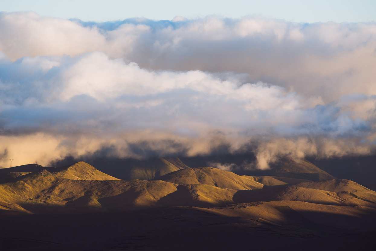
By night the stars were brilliant, while the cloud blanket was illuminated by towns far below.
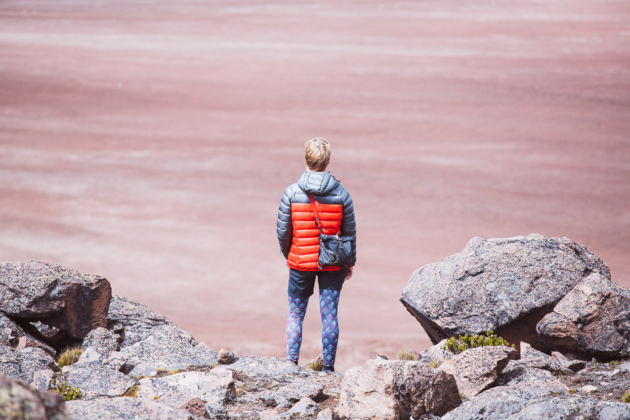
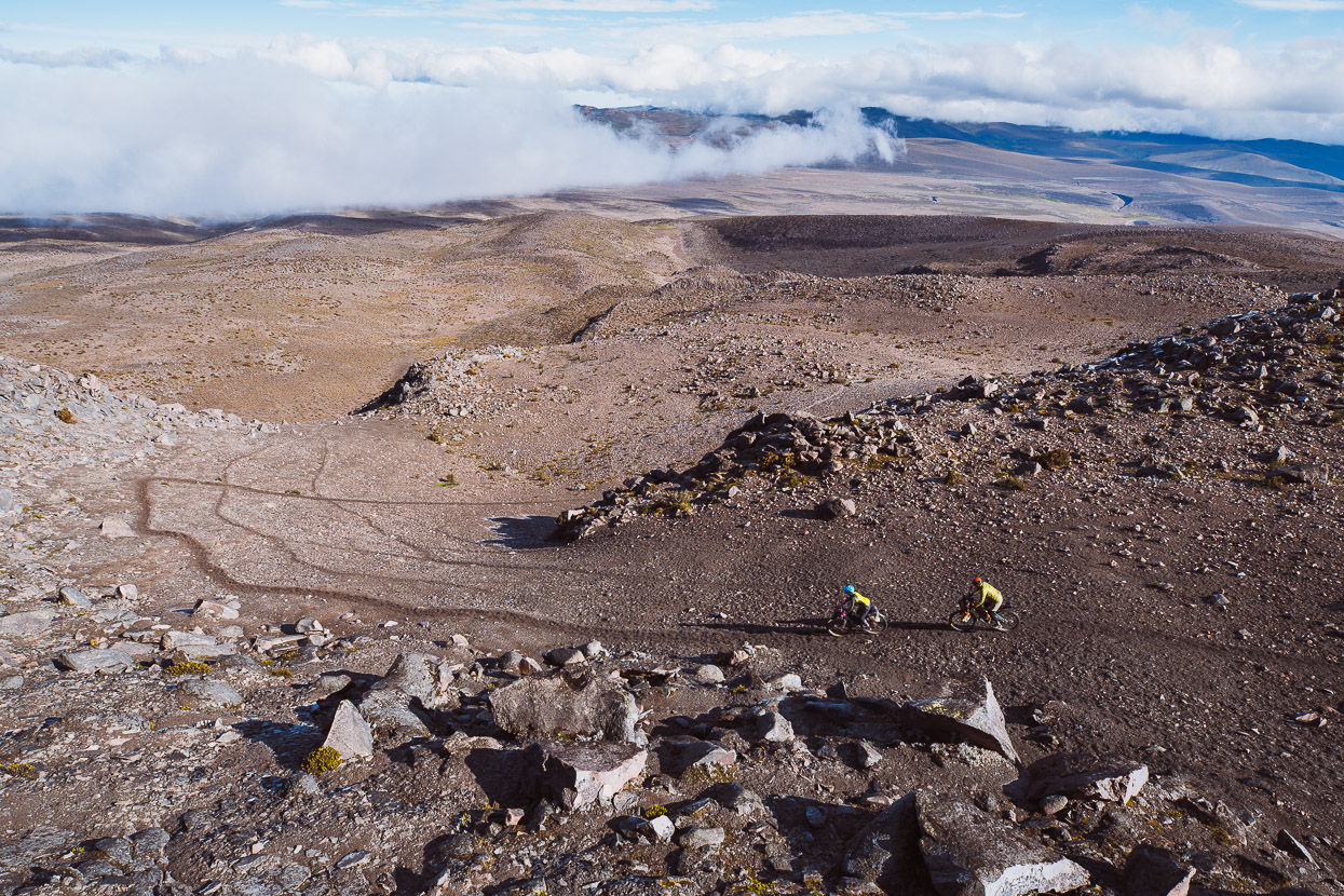
In the morning we wandered more, exploring a possible single track route off the mountain and wandering around the rocky landscape. In the afternoon Richard arrived, having had a late start the previous day and the night camped at the park entrance.
Rain shut down our plans for a longer walk in the afternoon, but shortly before sunset the clouds started to thin and the three of us took the path to the upper refugio and the small laguna at 5070m. A blazing sun settled into the horizon.
On Open Street Maps we’d spotted a tempting looking dotted line that descended the mountain’s NW slopes down to highway 491. Normally both the TEMBR Dirt and Los Tres Volcanes routes return to the park entrance via a poled singletrack, which is a pretty good option, but our route would take us more directly to where we wanted to go, which was to rejoin the Los Tres Volcanes route section which crosses remote country on the NE of the mountain, following the Rio Mocha.
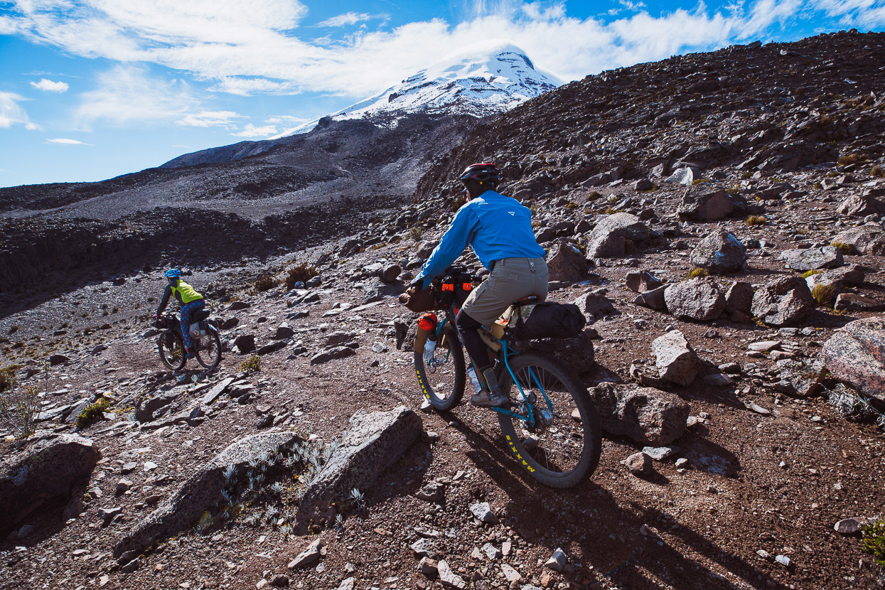
Following a vague foot track at first and then animal tracks and open mountain we picked our way down.
Excellent riding in an incredible place.
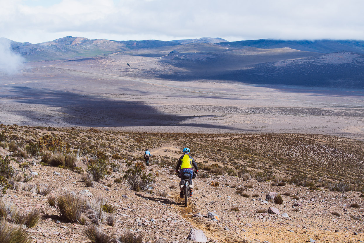
About halfway to the highway we joined the remnant of an old 4WD track and followed that down, terminating in a sandy singletrack that popped us out on the highway. (This excellent section of riding has now been spliced into the offical LTV route).
Once on the highway we took the turnoff for the hot pools waypointed on the LTV route, only to find them (sadly) closed for maintenance – we hadn’t washed for three days. So we carried on down the road to the temptingly named ‘Max International Bar’, which turned out to be nothing more than a lonely kiosk at a windy road junction.
The cold Richard had been carrying since Quito had taken a nasty turn since his visit to 5000m so he opted out of further riding at that point and managed to catch a ride in a collectivo to Ambato, where he could recover for a day or two.
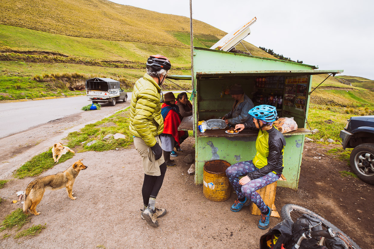
Hanging with the dogs at Max Bar.
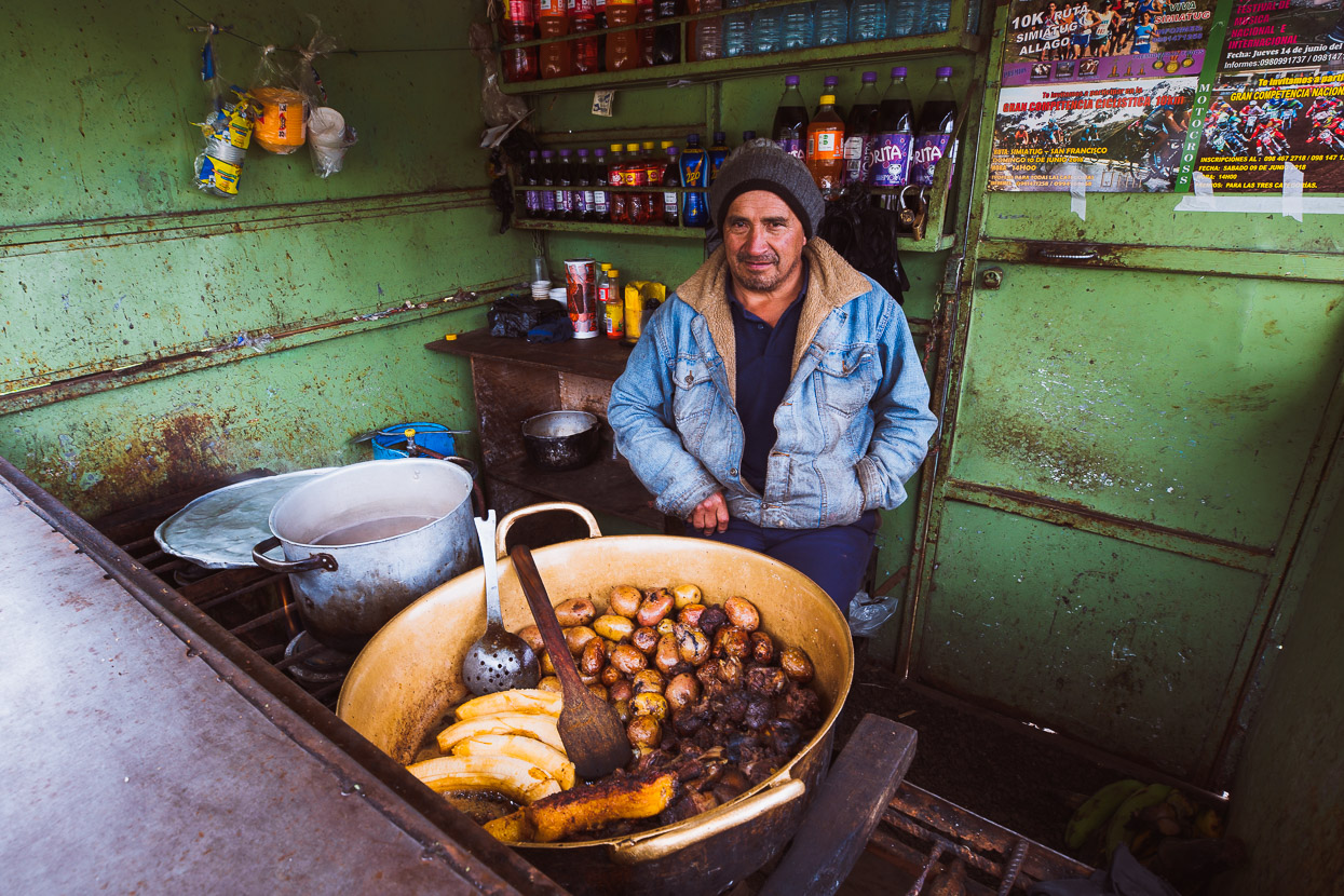
And Max himself. He’s here daily, selling greasy meat, potatoes and platano.
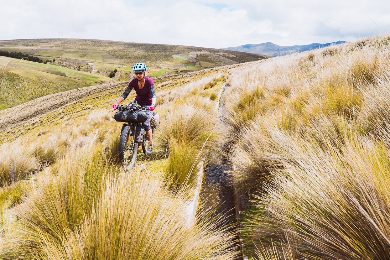
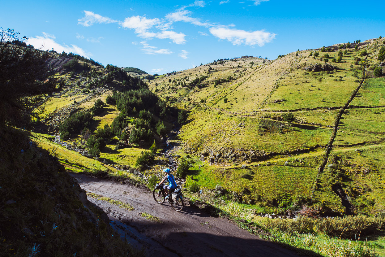
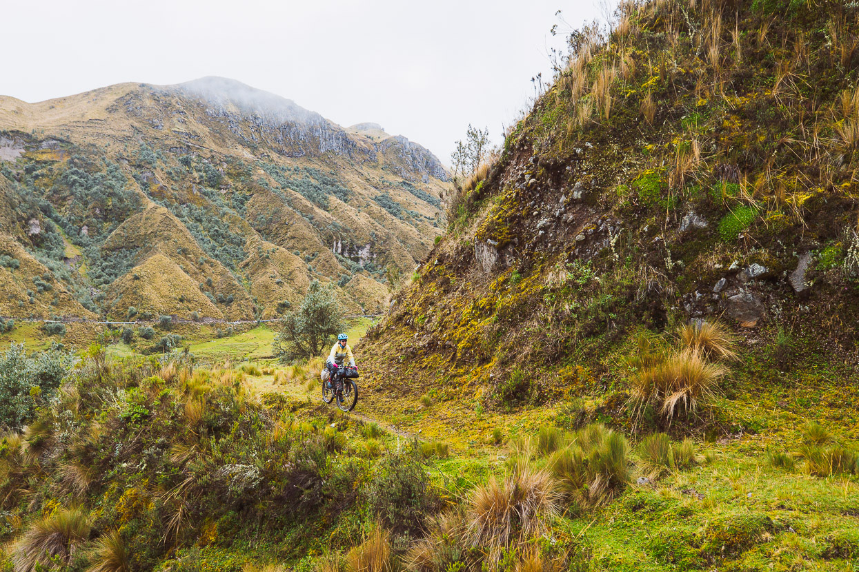
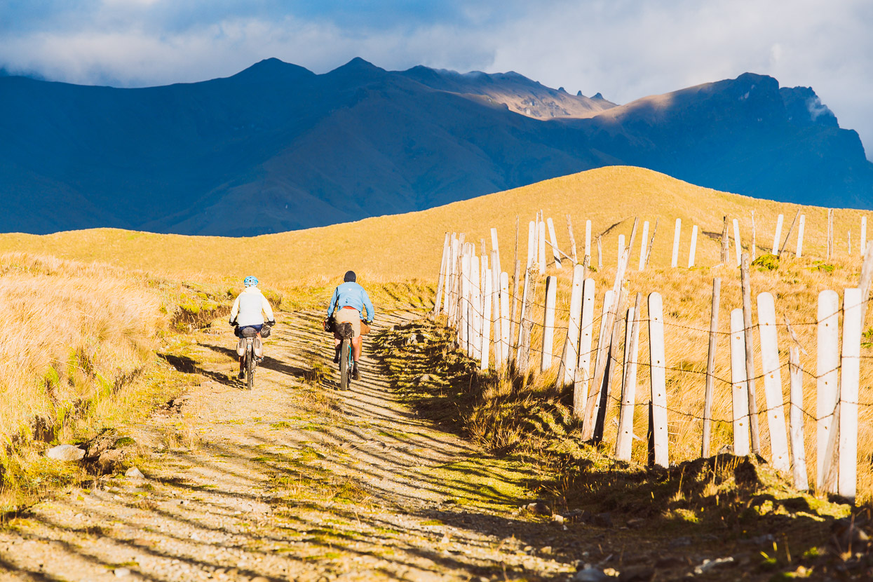
Now back on the Los Tres Volcanes, we followed the route towards the north side of Chimborazo. The first part of this section was uninspiring though, as it made a convoluted trek across paddocks and grassy farmland. It gets better higher up though, when it joins an aqueduct.
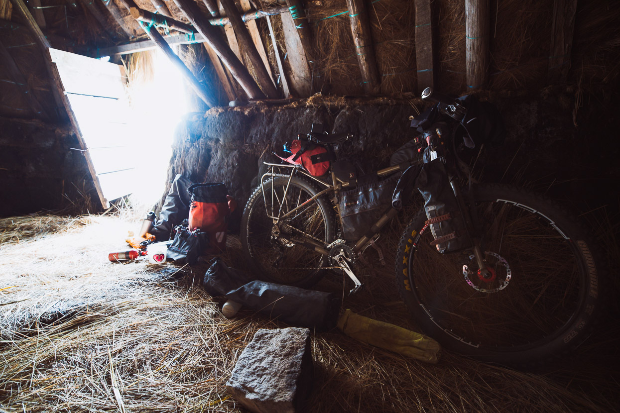
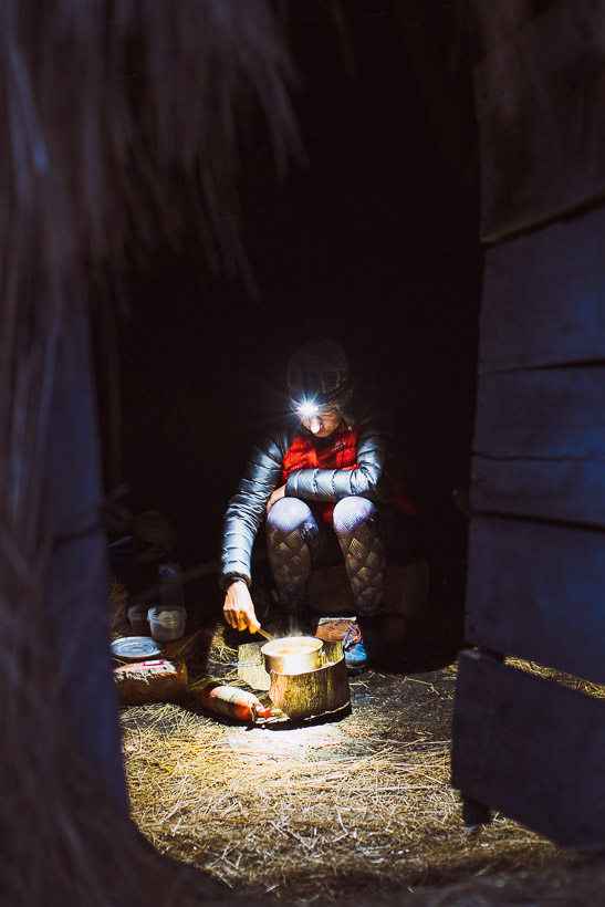
We crossed the highway and rode up into the wind and drizzle as we climbed dirt roads towards the pass between Chimborazo and its neighbouring mountain Carihuairazo. Next to some (possibly abandoned?) cabañas we found an open choza. These earth walled straw roofed structures are shepherds’ huts and are usually open and communal. So we made ourselves at home.
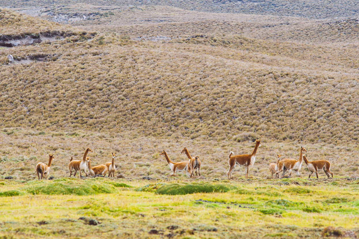
The upper slopes of Chimborazo were lost in the swirling cloud, but on the expansive grasslands below, vicuñas were grazing so we had a David Attenborough moment and lay in the tussocks watching a herd run back and forth in what we guessed was a show of strength by prospective alpha males.
The cloud cleared overnight, and dawn broke with a brief play of orange light on the slopes.
Although we left with clear views, by the time we’d climbed up the road for 4 kilometres the pass was swallowed in cloud and drizzle was blowing straight in our faces.
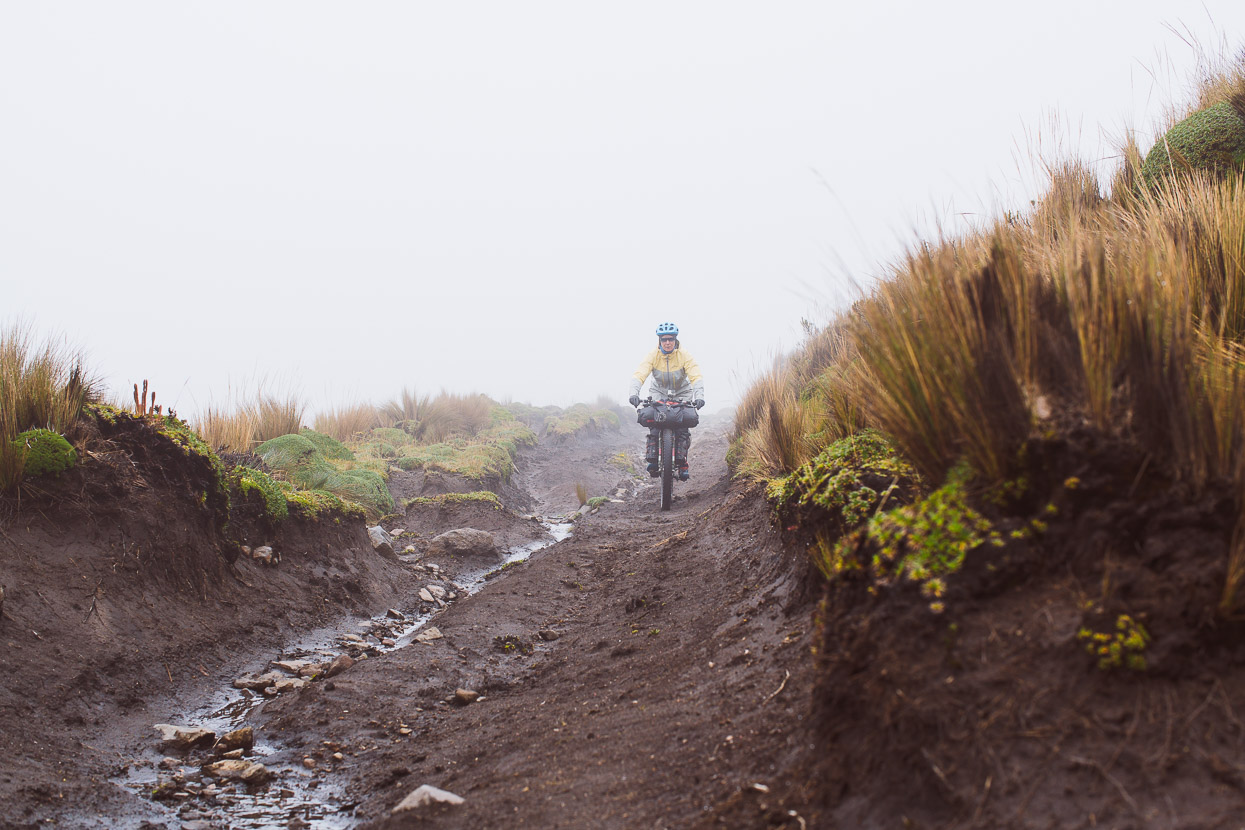
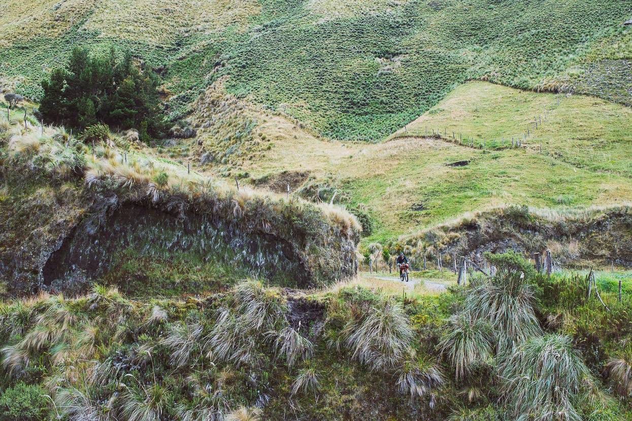
But once we dropped below the cloud base it warmed a little. The riding on this section is excellent; following a sometimes-technical horse track.
The wet season had left this section boggy and muddy in places but it didn’t slow us down too much.
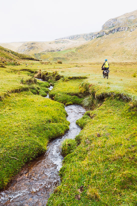
We crossed the flat of the valley floor and crossed the river.
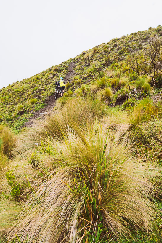
And then a short push over a ridge led to easier riding and a formed road.
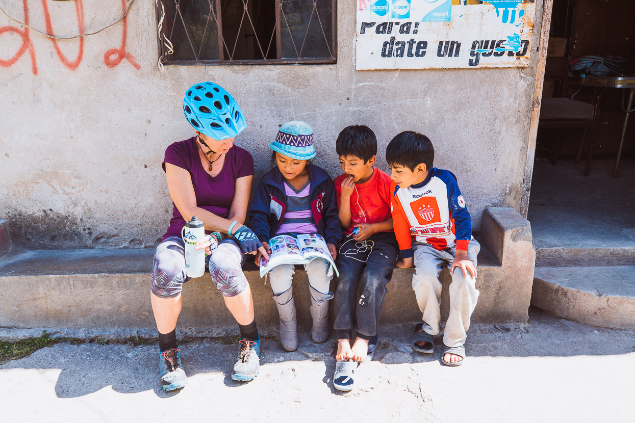
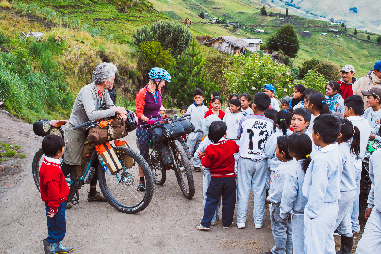
Once out of the woods we made fast time on the mostly downhill route towards Cajabamba, rejoining the TEMBR Dirt route on the way. A stop at a tienda for a coke turned into an impromptu English lesson with some smart young kids.
But the day had a sting in its tail with some steep climbing through pueblos and wheat fields before we dropped to Cajabamba for the night and a welcome bed.
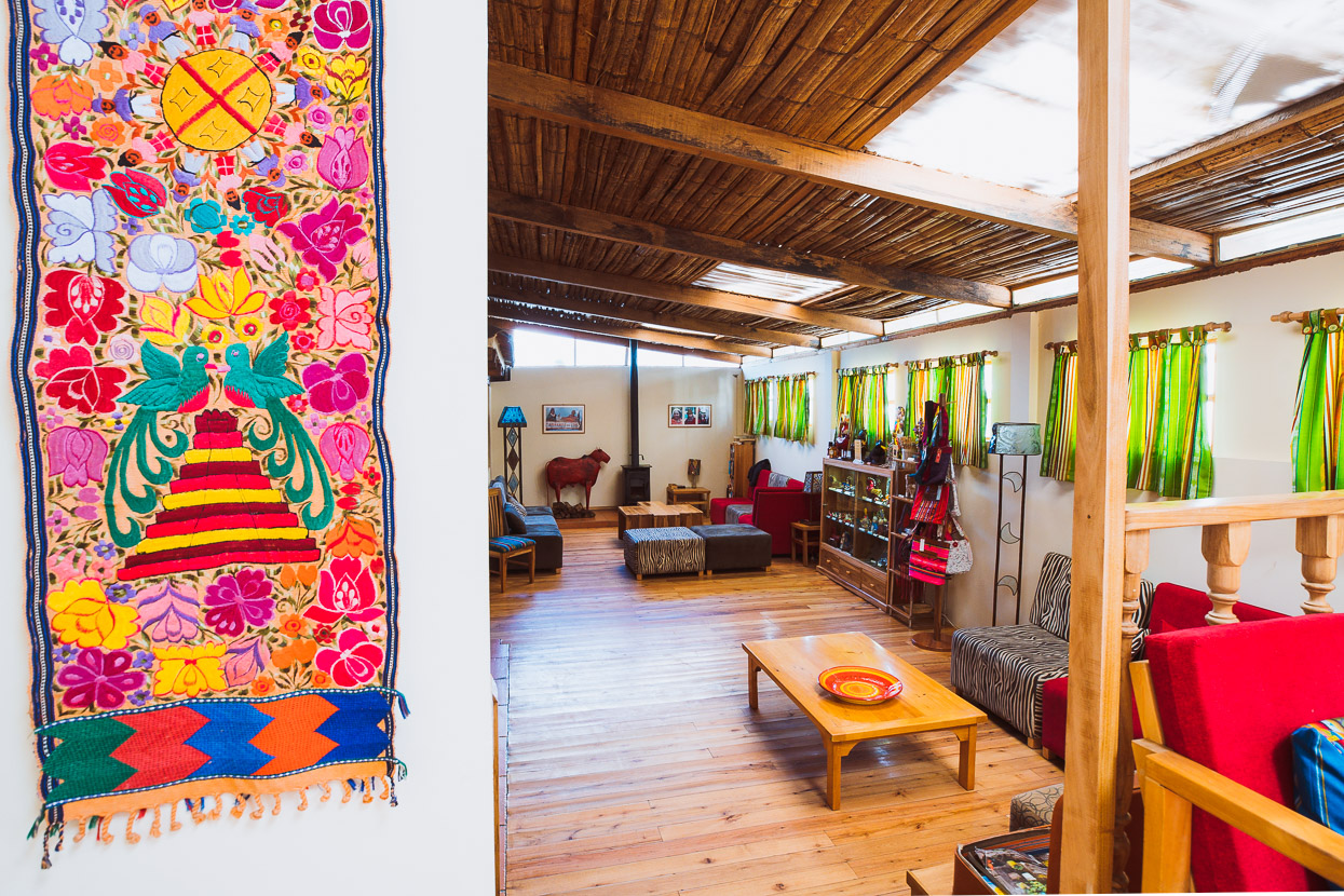
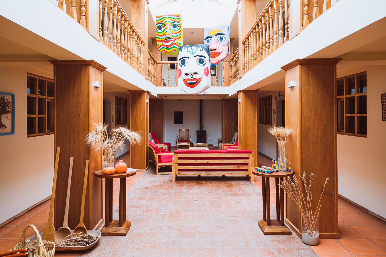
A short 2.5 hour day bumped us over to Guamote the next day where we checked into the unexpectedly luxurious (and slightly out of budget) Inti Sisa guesthouse and art gallery. This German-owned but locally run guesthouse is a gem, with great food, comfortable rooms with a generous breakfast included.
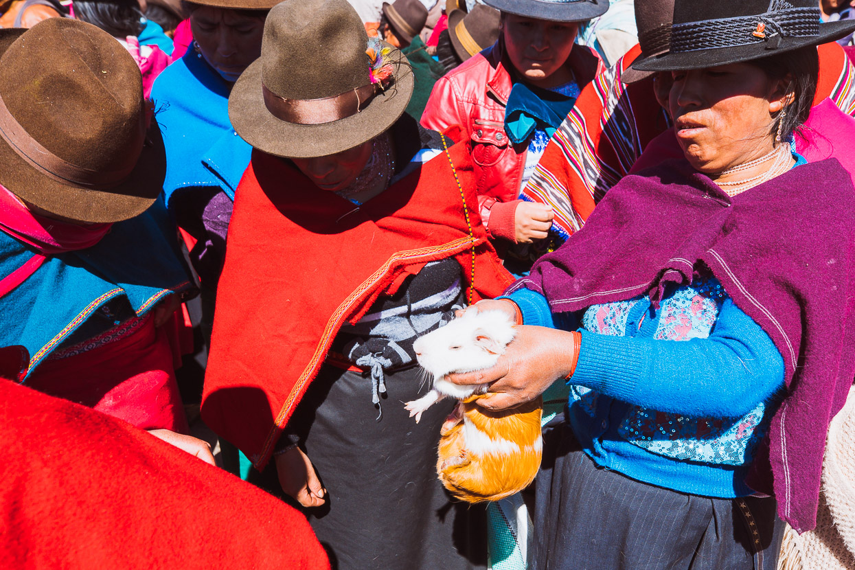
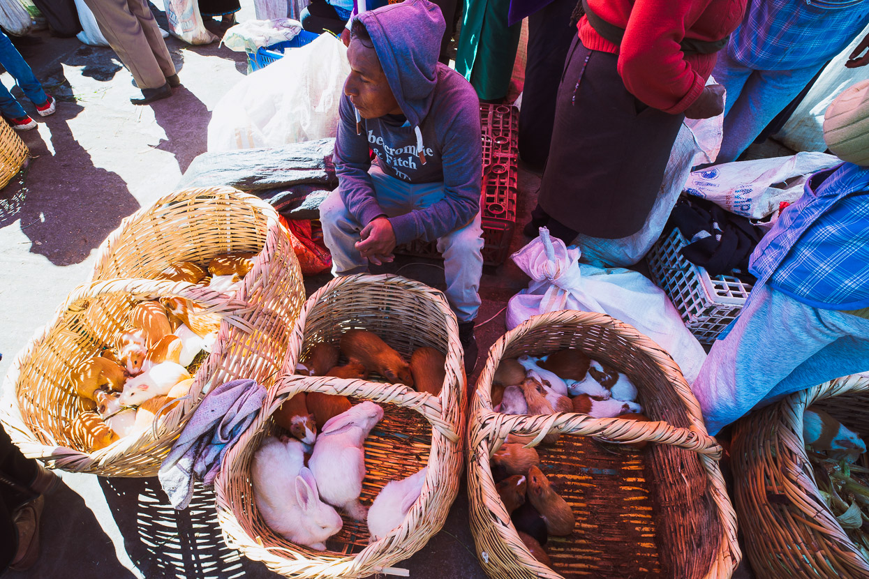
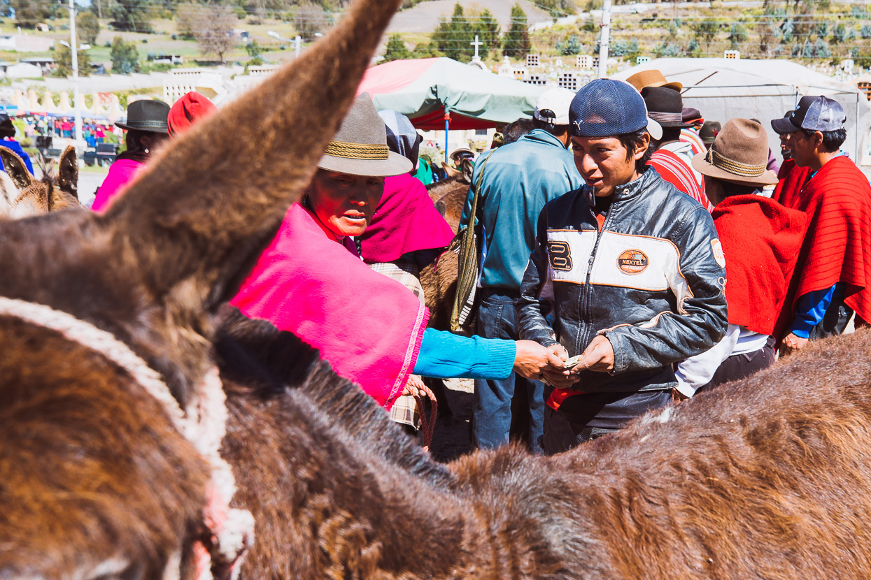
Guamote’s weekly market sees people pour into town for the day from the surrounding pueblos for trading, resupplying and socialising.
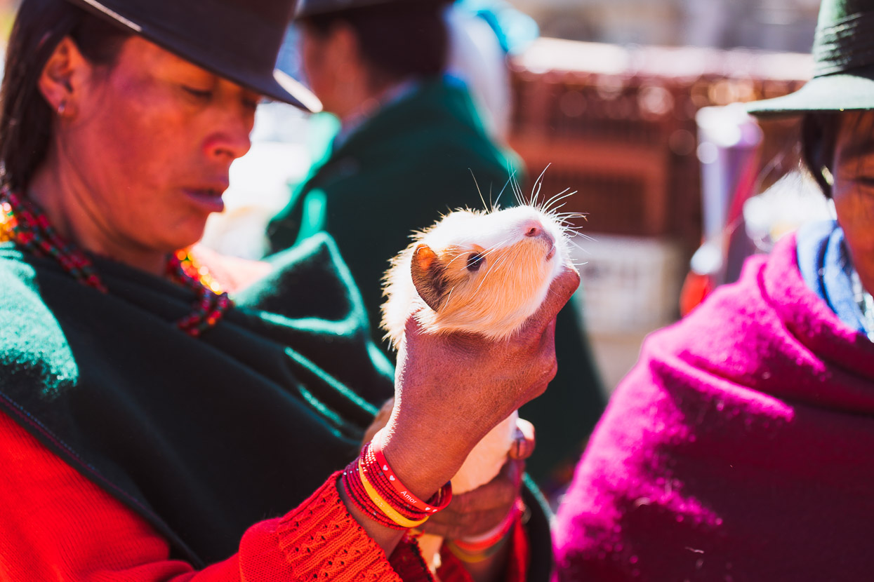
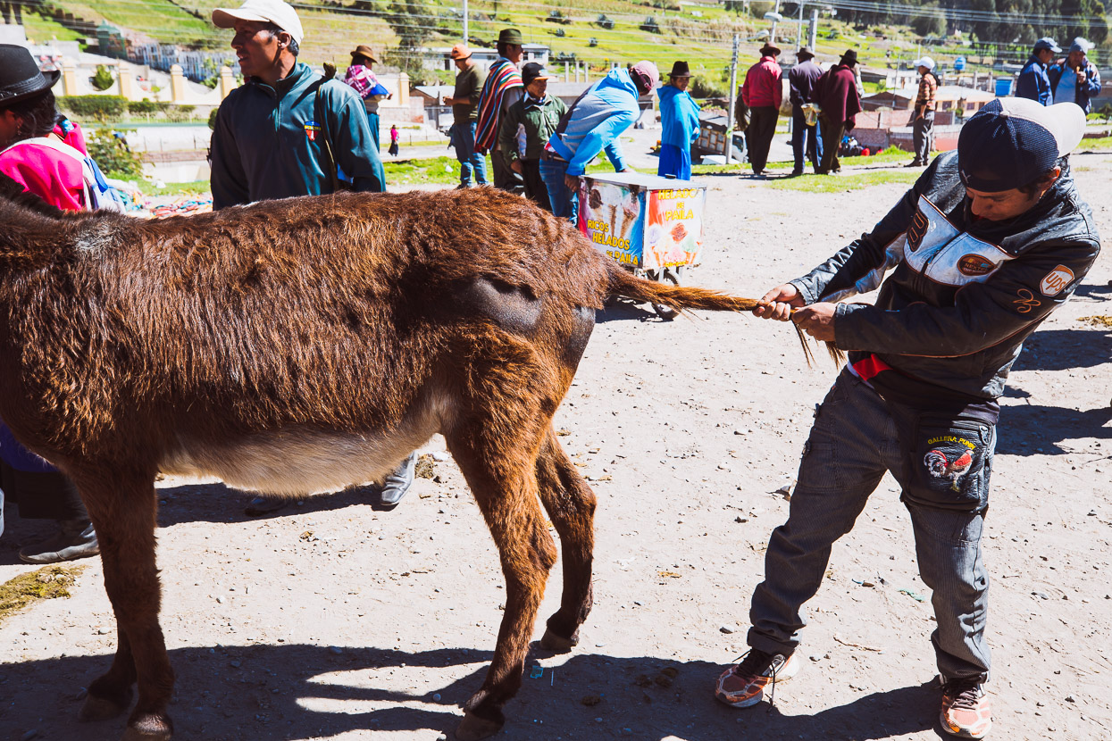
Like the previous market we’d seen in Simiatug, there were separate sections for animals. One for guinea pigs, rabbits and poultry and another for donkeys and horses. The guinea pig (or cuy as they’re called here) section made for some interesting viewing as we watched dozens of people with sacks and baskets full of guinea pigs wait for prospective buyers. Much handling and inspection of the animal in concern takes place, before a price is agreed on. Some of the cuy were rabbit sized, and definitely a decent meal, as they all were destined for.
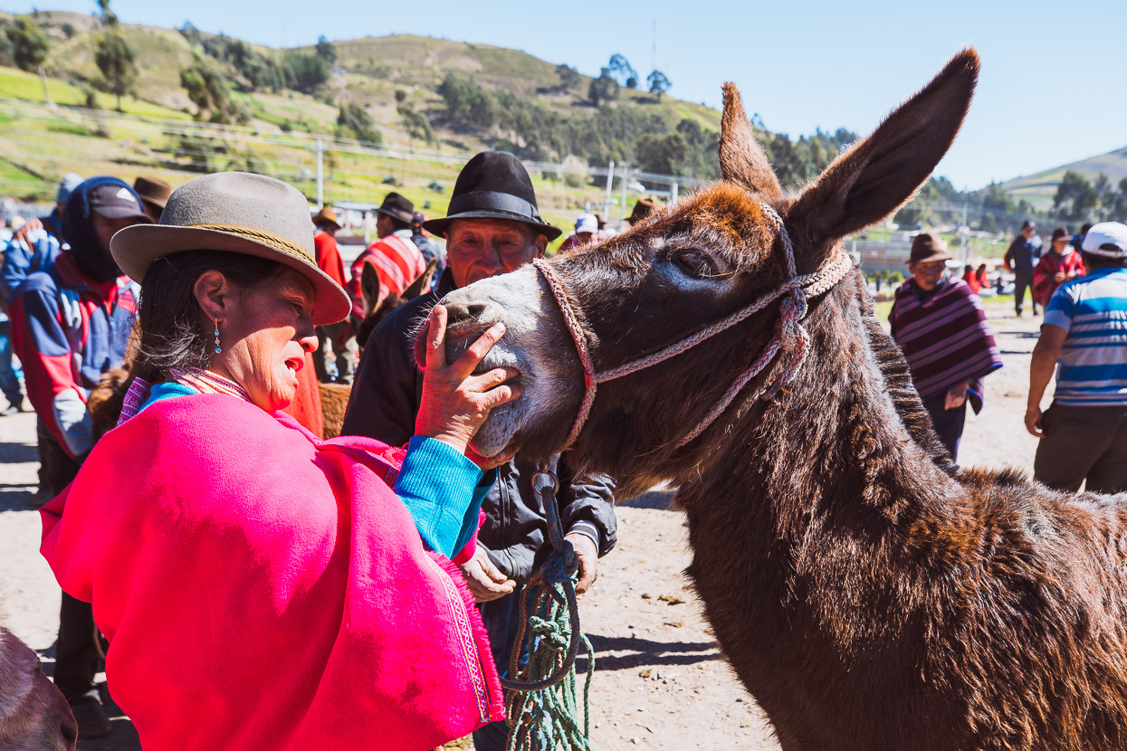
Over at the donkey market, a measure of the animal is made by an inspection of the teeth and a firm pull of the tail. This one sold for US$160.
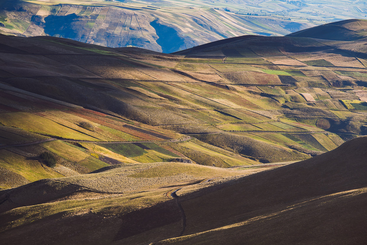
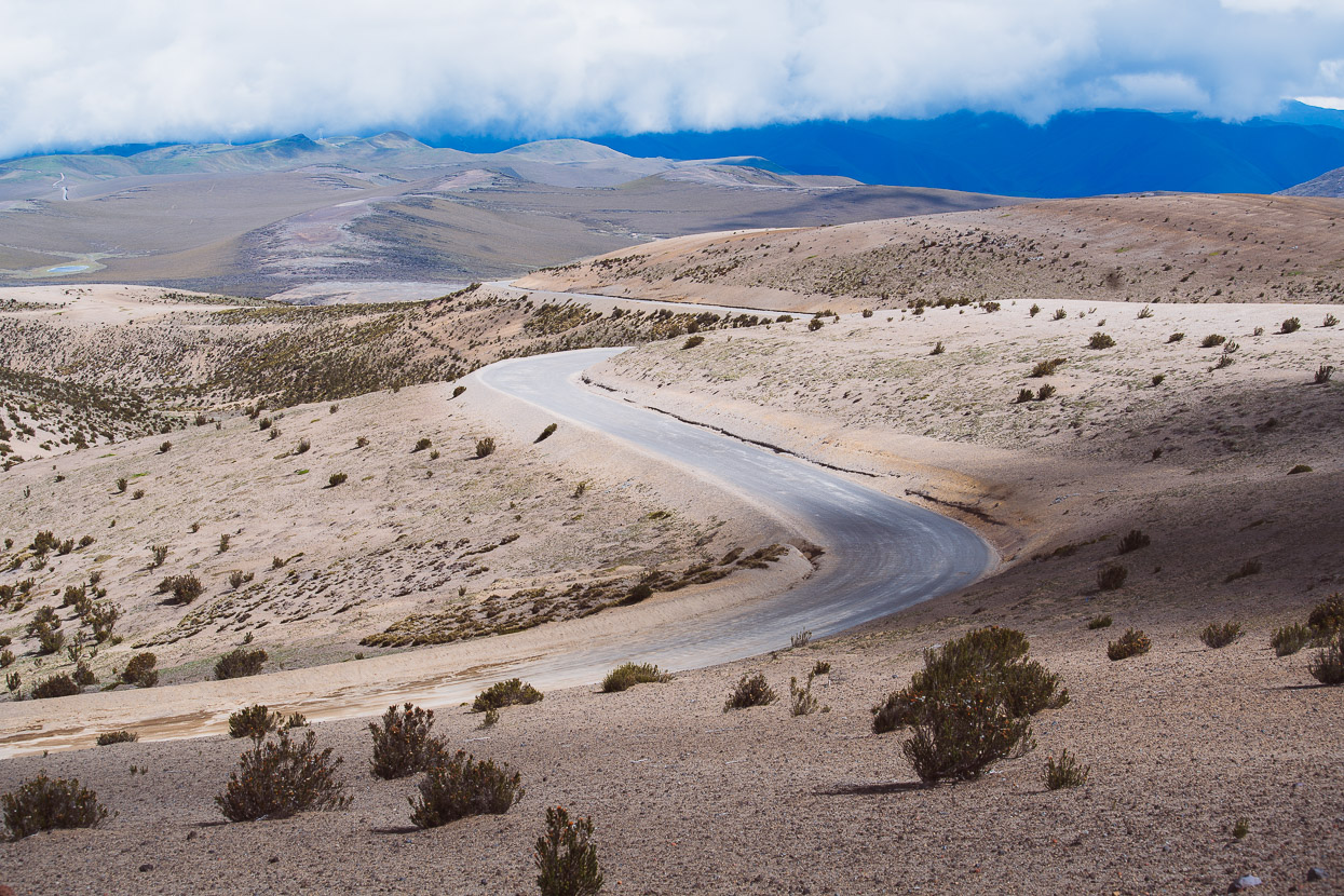
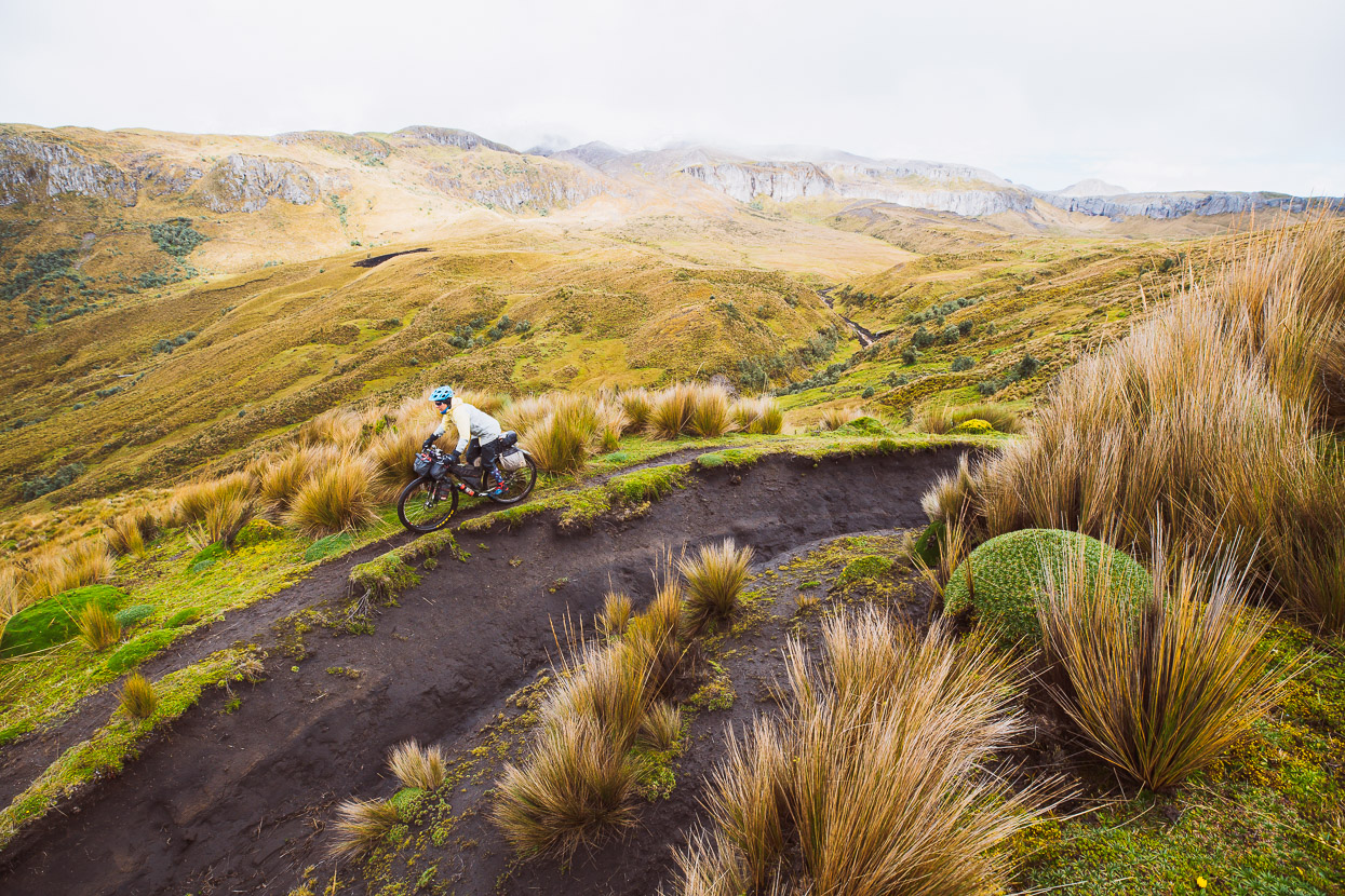
We left town at lunchtime and a gravel road carried us once more high into the hills, where we followed a series of double tracks and dirt roads along the tops.
Late in the afternoon a strong, cold wind and some spits of rain had us abandoning thoughts of camping up high and we scurried down hill towards the valley, making camp on the edge of the track with the shelter of some pine trees.
Between sprinkles of drizzle we could see Volcan Tungurahua (5023m) in the distance to the north. This volcano erupted in 1992 and sporadic eruptions continue to this day.
The morning could not have had a better start, with a serpentine road weaving in and out of the valleys as it dropped us lower.
These students poured out of their classroom to check out the passersby, although most of them just stared at us in silence.
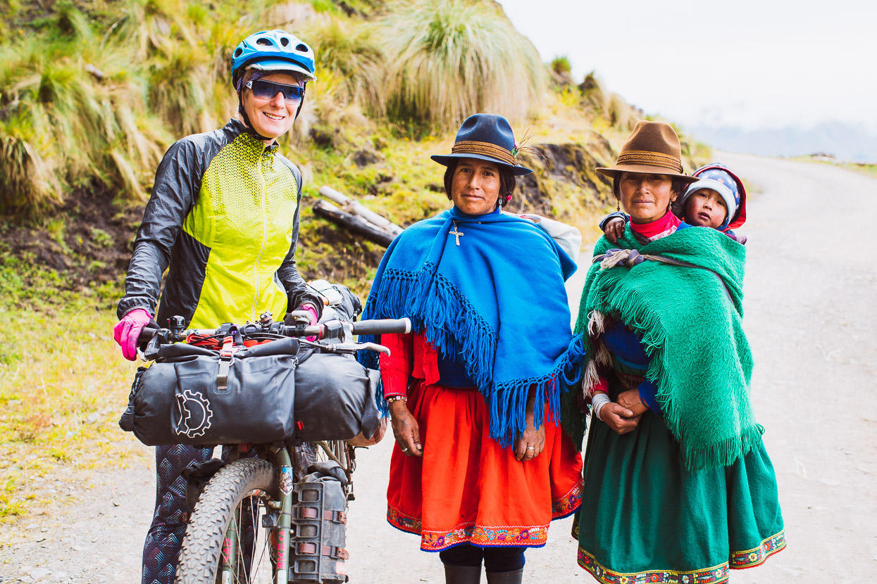
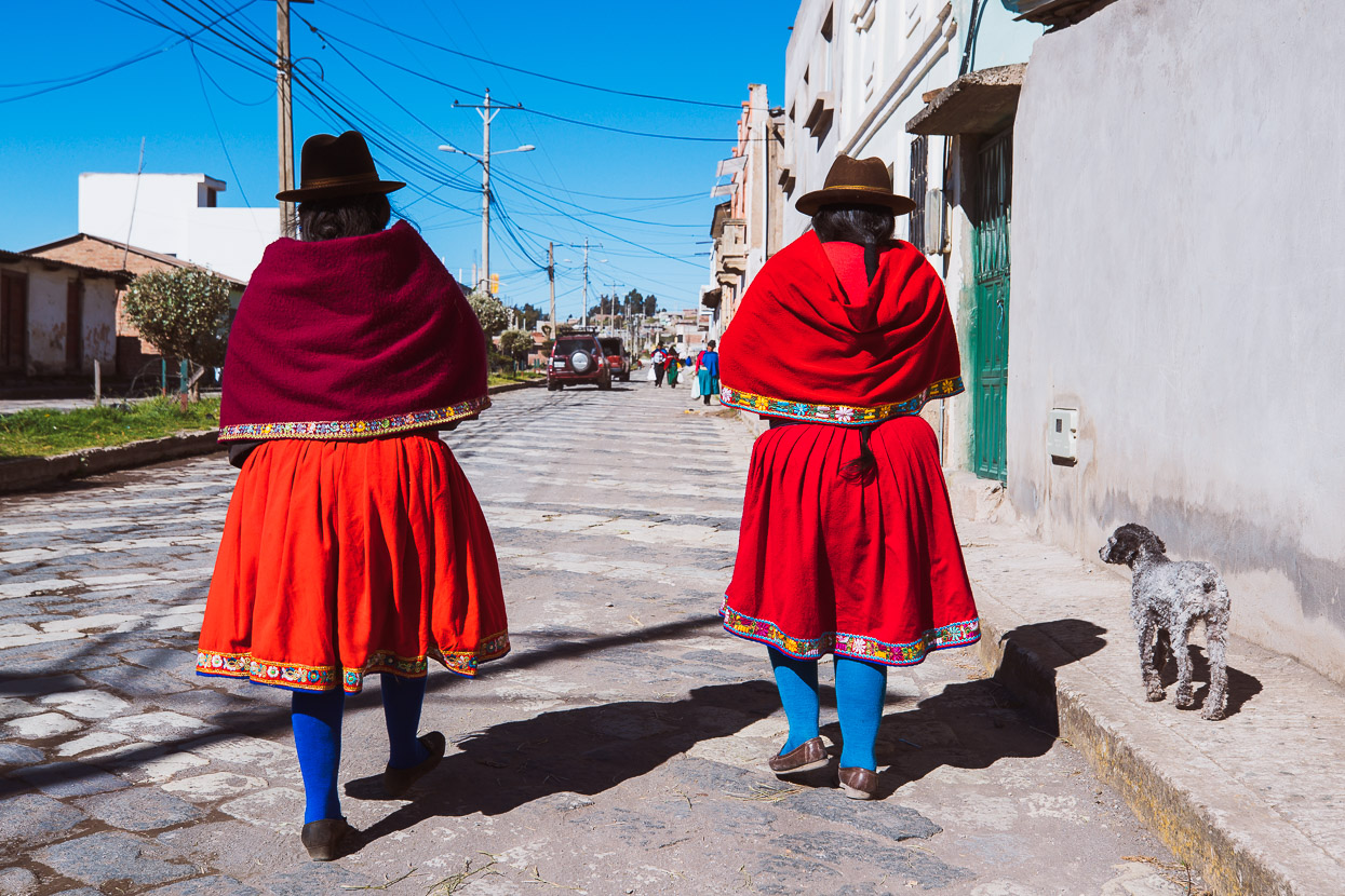
But most of the adults we met that day were happy to stop for a chat. As we move from valley to valley the style of dress makes subtle changes, but the bold colours are a constant.
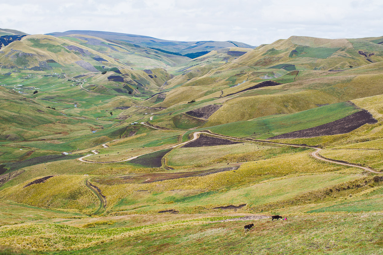
We crossed a pass and dropped into a big open valley, wondering if we’d ridden into Mongolia by accident.
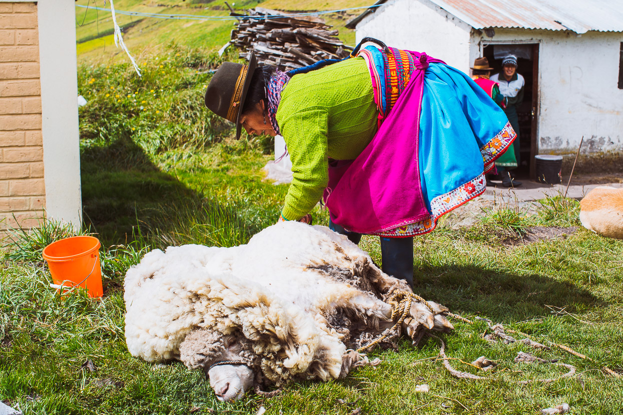
Shearing a sheep with a pair of scissors.
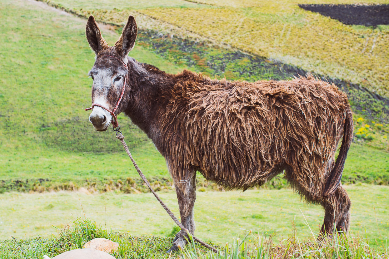
Long haired donkeys are a new sight.
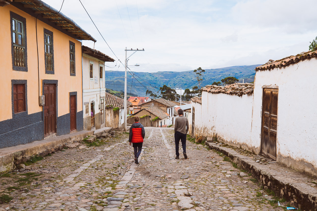
After a long day of constant up and down the road finally dropped into Achupallas which, like so many of the small towns we’ve passed through in Ecuador, was run down with few people around.
We checked into a room and wandered the streets in search of a snack to hold us over until dinner was ready at the guesthouse.
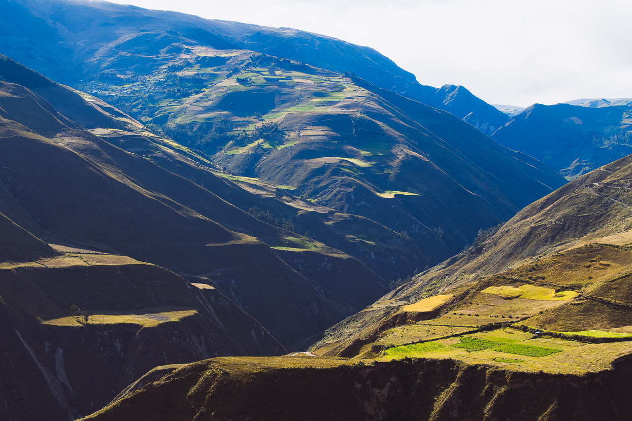
In the morning came a stunning ride down the Rio Zula canyon as we sped downhill towards the Pan American Highway. The rest of the day was spend riding to El Tambo along the highway, which is thankfully quiet and usually with a good shoulder.
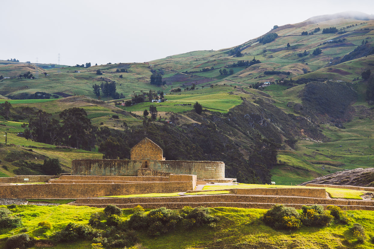
In the morning we rode 10 kilometres to the Ingapirca ruins, which are the largest and most important Inca ruins in Ecuador. The region was formerly dominated by indigenous Cañari people, who were unable to be overthrown by the Inca, and so the society that developed here became a synthesis of the two cultures. The Inca brought with them their construction knowledge, along with their worship of the celestial, recognised in the main structure here; an observatory with windows aligned for the solstice and equinox.
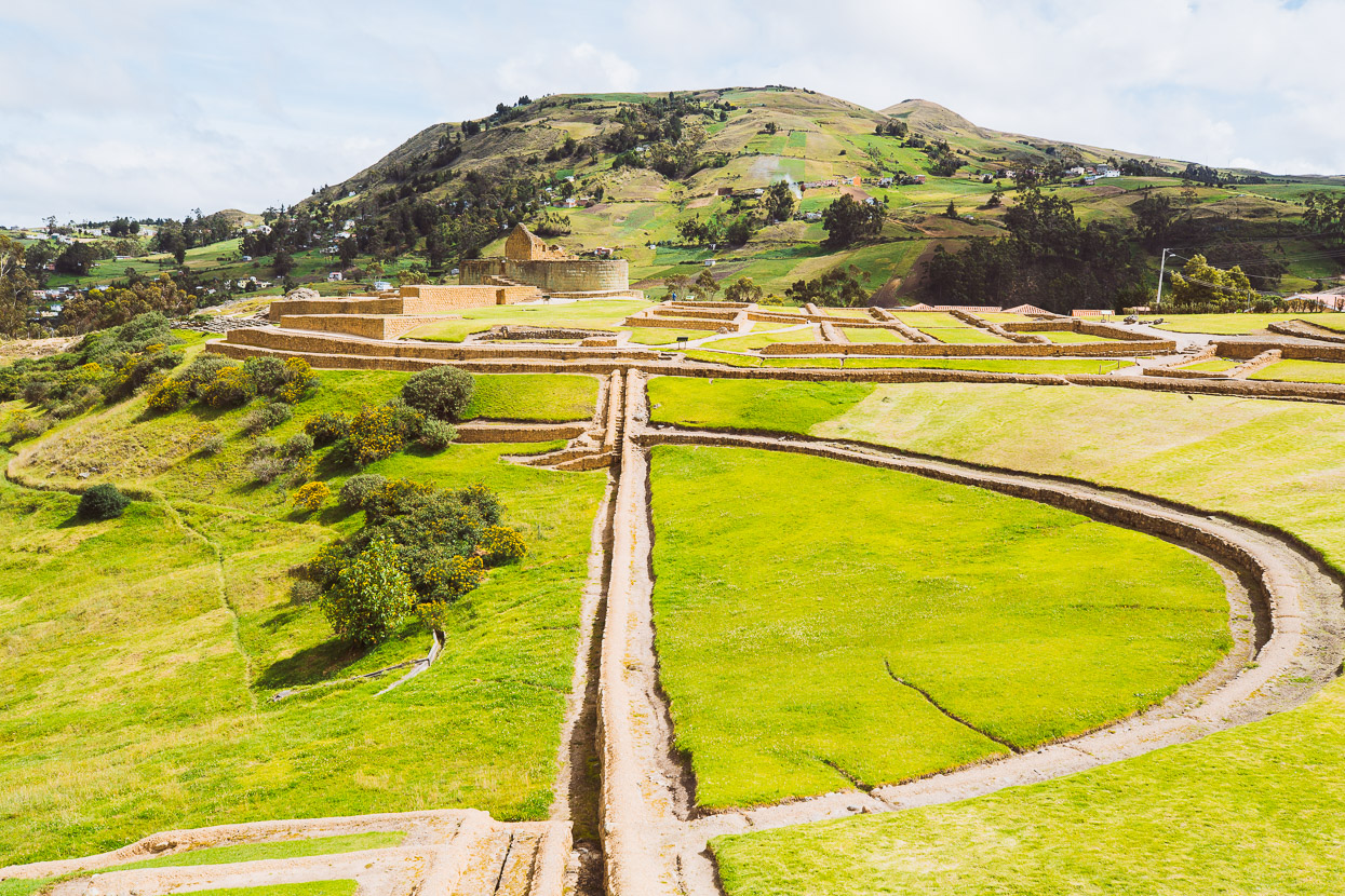
The complex included food storage, aqueducts and agricultural terraces.
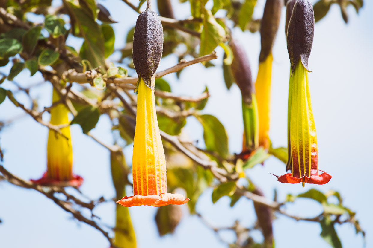
Datura was one of the favoured hallucinogens of the Inca shamen.
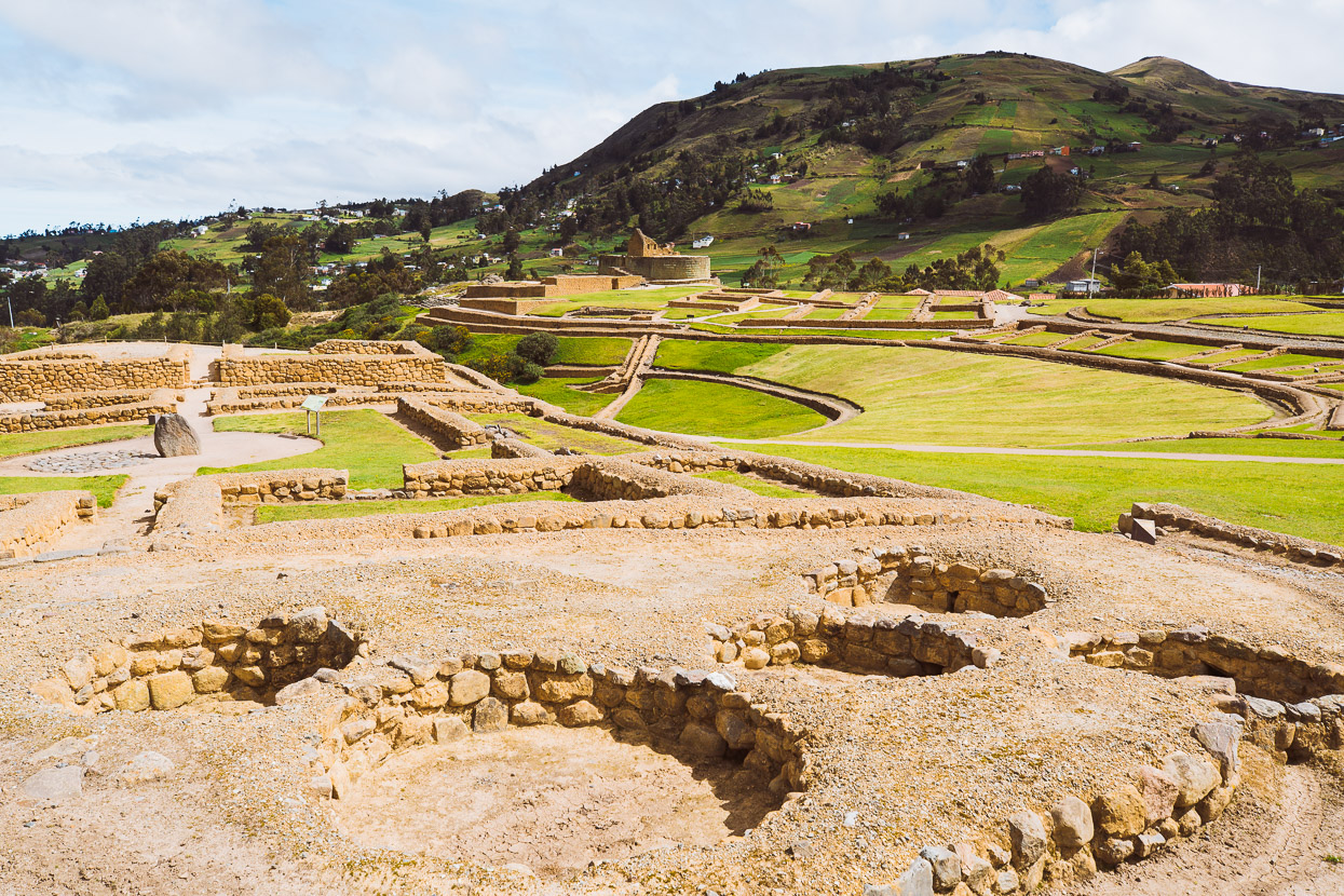
Food storage pits.
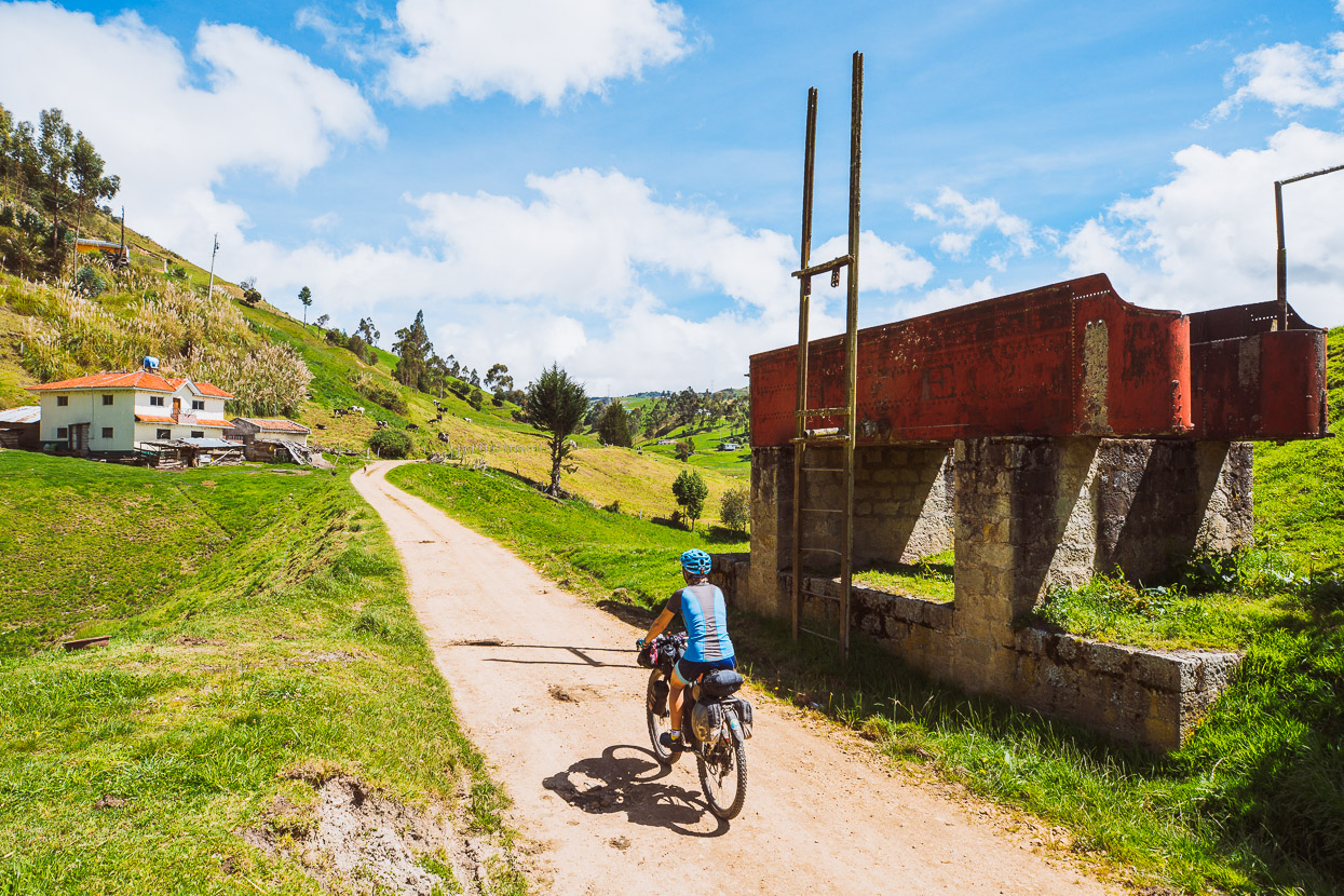
The ride on follows an abandoned railway line, past old water tanks for the steam engines.
And ducks and dives through steep hills as it closes in on the outskirts of Cuenca.
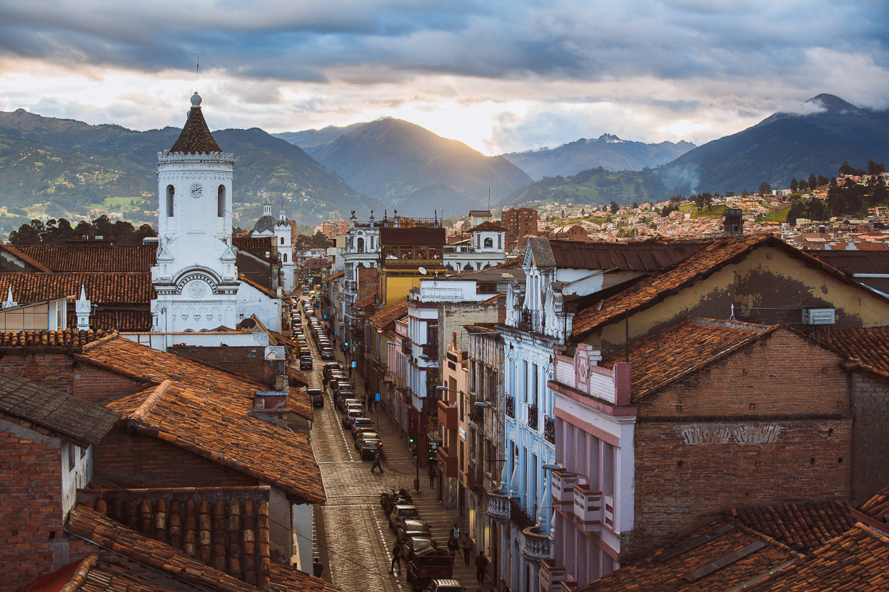
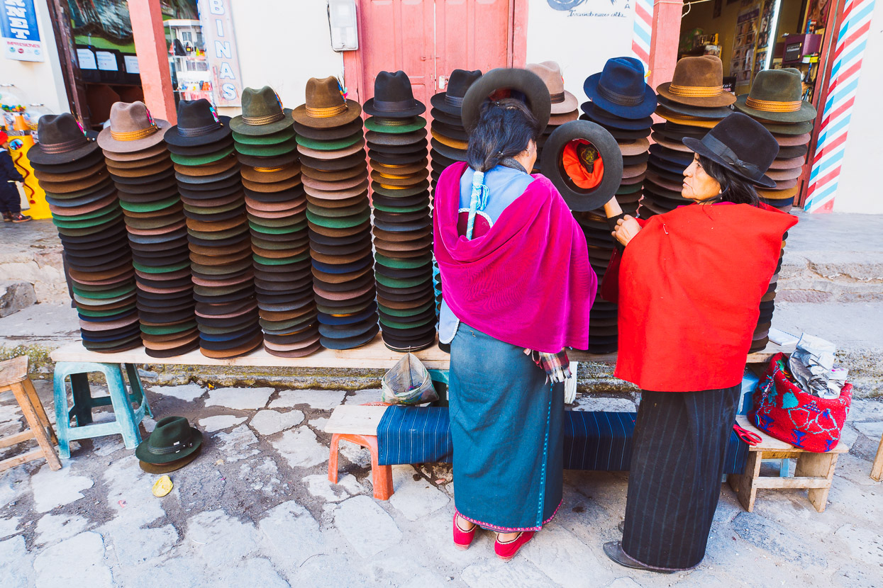
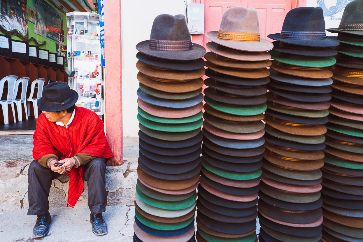
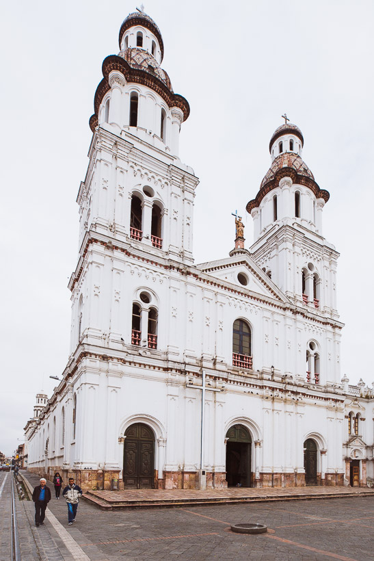
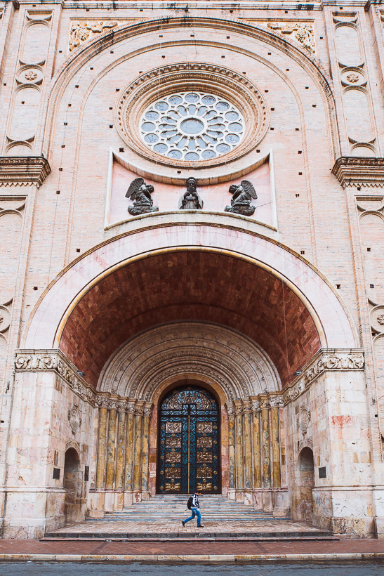
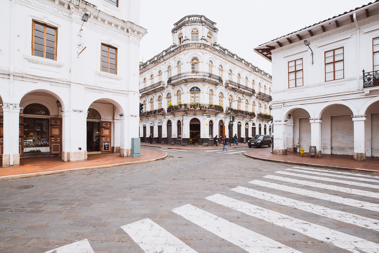
It’s a fine place to arrive. Cuenca has a nice climate (cool but not chilling), and the city has a vibrancy about it with lots of good restaurants and cafes, without ever feeling too busy. Interesting architecture abounds, along with plenty of cultural highlights.
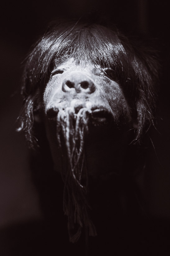
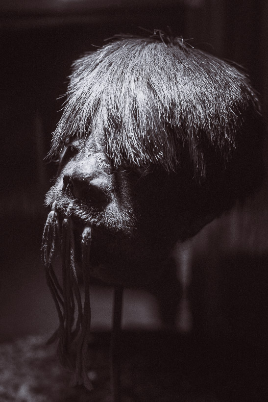
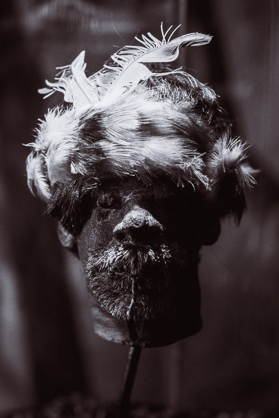
I’ll end on a grotesque note with these shrunken heads from the Pumapunga Museum. This practise was carried out by the Shuar tribe of the northwest Amazon, reportedly up until the 1960s. The practise was said to harness the spirit of the enemy, and the mouths of the shrunken heads were stitched shut to prevent the spirit escaping. These heads are small enough to fit in the palm of your hand (like a grapefruit). Apparently the Shuar still shrink heads, but those of the sloth only.
Do you enjoy our blog content? Find it useful? We love it when people shout us a beer or contribute to our ongoing expenses!
Creating content for this site – as much as we love it – is time consuming and adds to travel costs. Every little bit helps, and your contributions motivate us to work on more bicycle travel-related content. Up coming: camera kit and photography work flow.
Thanks to Biomaxa, Revelate Designs, Kathmandu, Hope Technology and Pureflow for supporting Alaska to Argentina.


Join the discussion One Comment