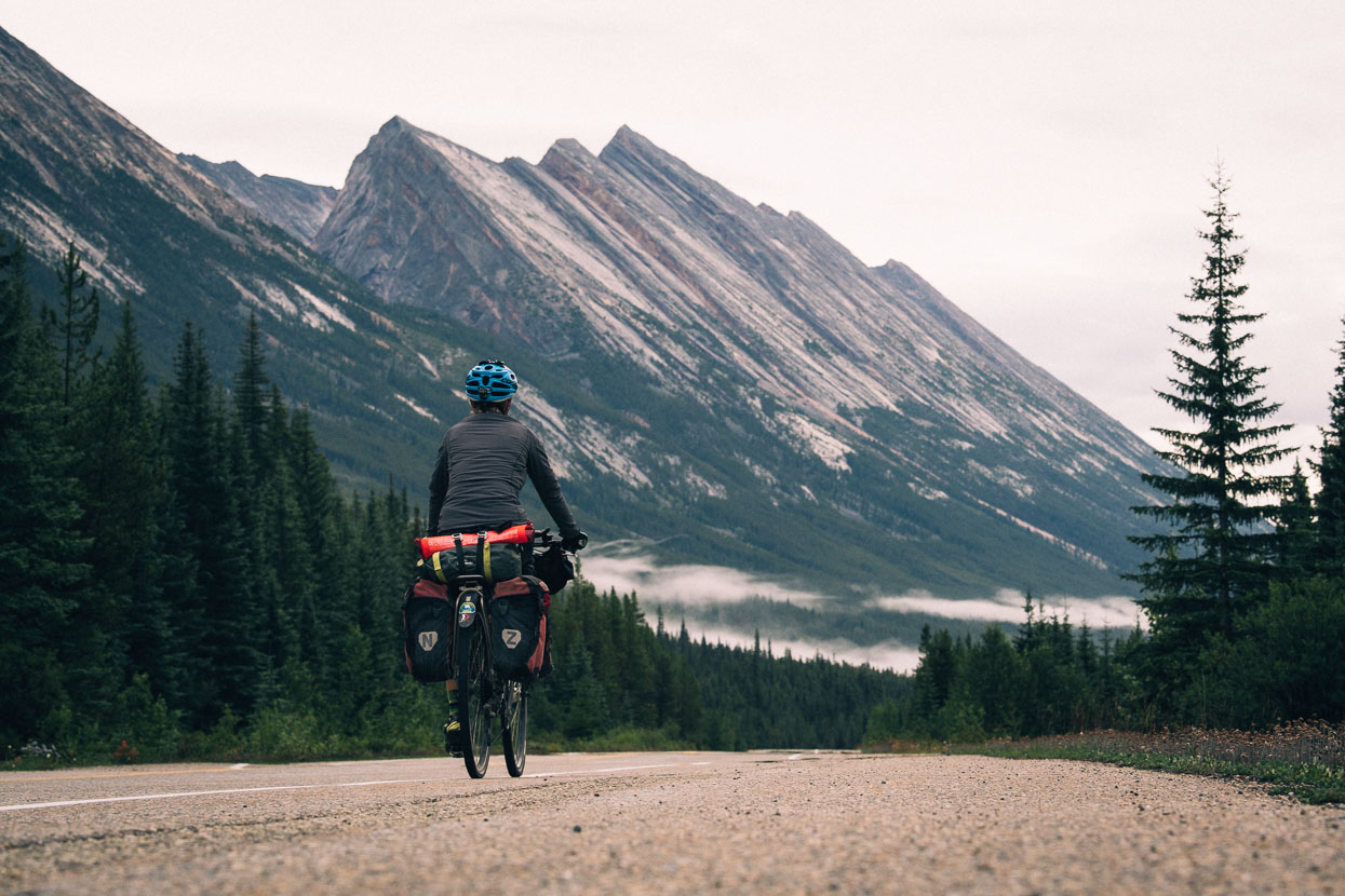
Departing Jasper (see previous post) our upcoming ride of the famous Icefields Parkway was much anticipated. We’d driven this route back in 2009, very much as tourists and without doing much in the way of dedicated photography. Traversing Jasper and Banff National Parks and crossing two passes of over 2000m en route, the Icefields Parkway is one of the world’s very best alpine highways. The 232km road follows the Continental Divide along a landscape that has ever so slowly been wrenched from the earth by thrust faulting which has forced ancient sedimentary rocks east, over younger rock strata. The result is distinctly steep and angular ranges, that are in places also spectacularly tiered, where bands of softer rock have long since eroded away. It’s captivating terrain that calls the eye.
Despite being only 232km we broke the ride into four days so as to have a reasonable amount of time to visit roadside highlights and to dedicate to photography time. The weather wasn’t playing ball though and we left Jasper in light rain late in the afternoon, aiming to catch some evening light at Athabasca Falls, one of the most popular stops on the parkway. With the days still very long, landscape photography on this road was always going to be a challenge, with a late sunset and early sunrise.
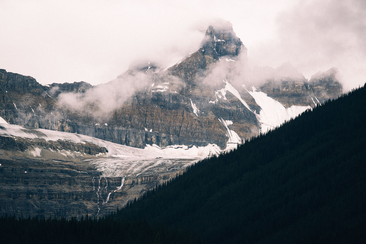
Geraldine Peak, captured through the drizzle from Highway 93a, a quieter side road that joins the parkway at Athabasca Falls.
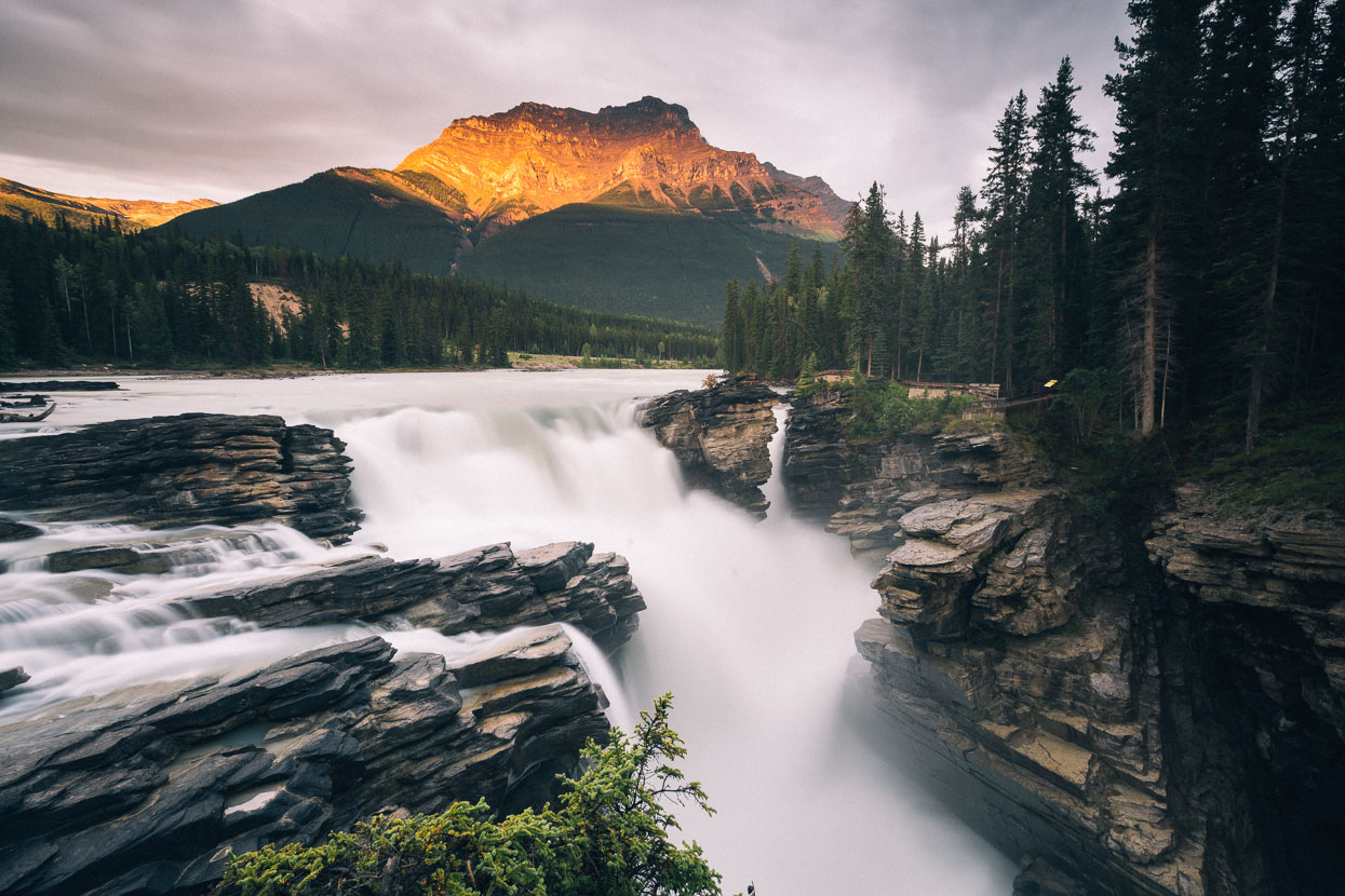
Athabasca Falls and Mount Kerkeslin (2956m), Maligne Range. As evening drew, showery weather persisted but I was lucky to catch a shaft of sunlight piercing a gap in the clouds shortly before sunset. Meanwhile Hana cooked our dinner on the side of the access track while enduring the stares and questions of curious tourists.
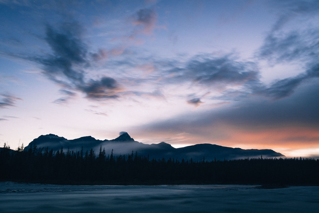
We rode 20km further in the dark, heading for a park services campsite – the drizzle had stopped and it was a nice time to witness some blue hour light over the Athabasca River and mountains west of the highway. We bivvied in the shelter at the campground for four hours and then rose at 5am and rode onto Sunwapta Falls in the dark, passing a confused bear on the roadside along the way.
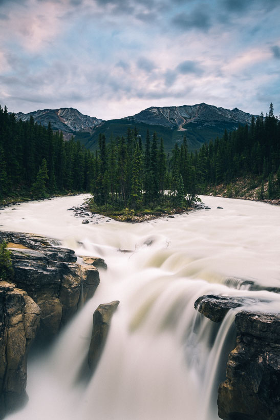
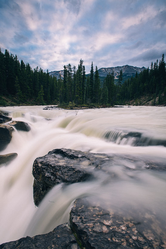
A very grey dawn met us at the falls and sunrise was distinctly lacklustre. However being in beautiful places like this to patiently watch night turn to day is always a pleasure.
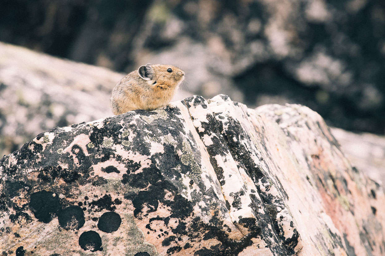
Pika are usually heard before they are seen. A high pitched squeak coming from talus blocks is always a giveaway. Pika are about the size of a juvenile rabbit, but with rounder mouse-like ears. They leave foliage scattered on rocks to dry in the sun, which they then store for the long winters.
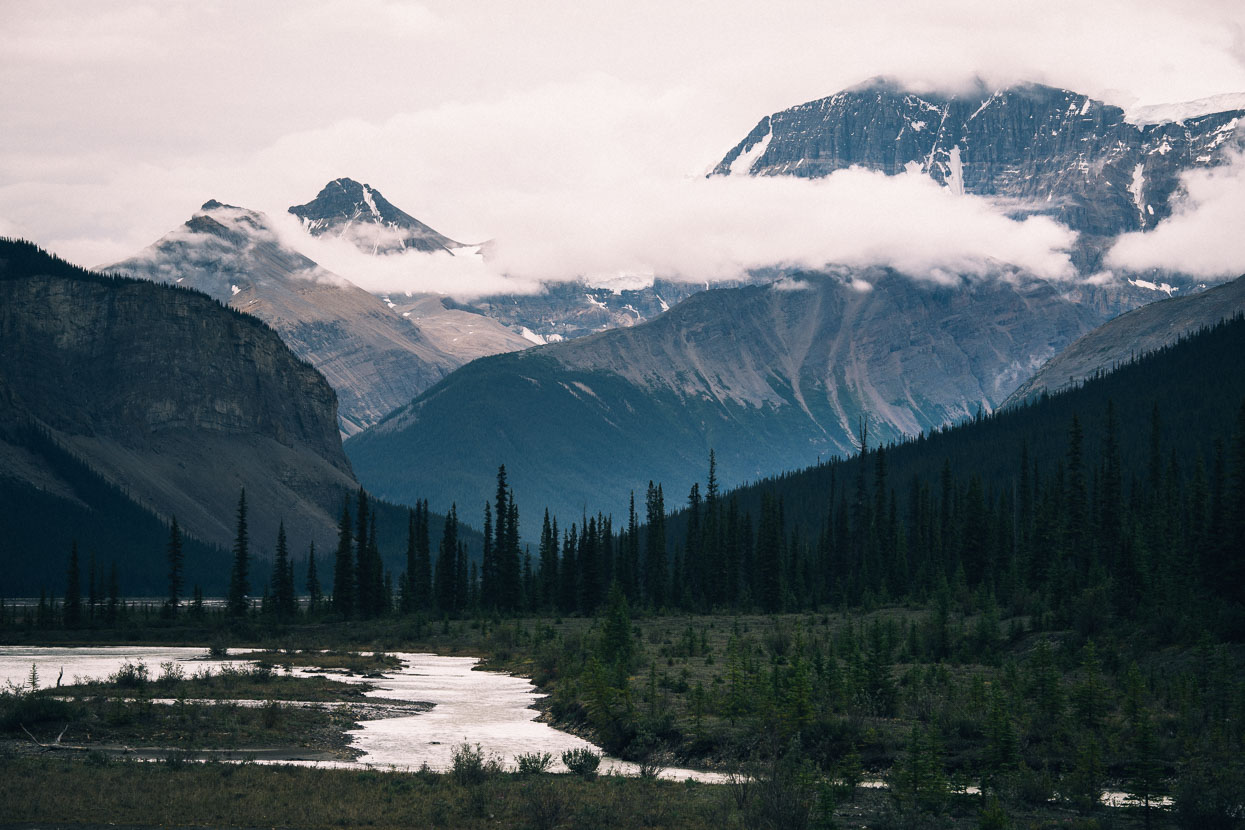
Approaching the head of the valley, before the highway breaks left and climbs steadily up to the Columbia icefield.
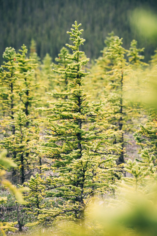
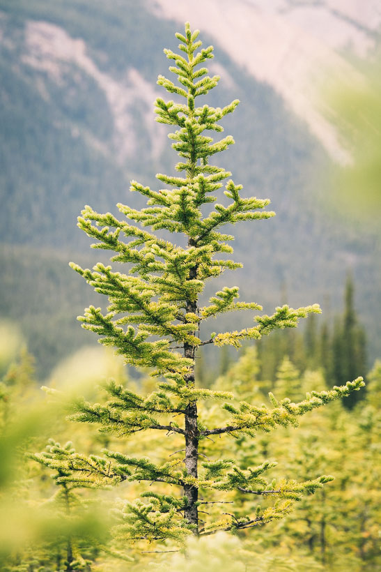
Young conifers on the valley floor.
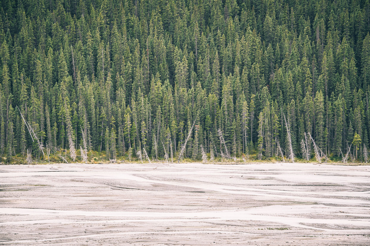
Spruce forest and river flats, upper Sunwapta River.
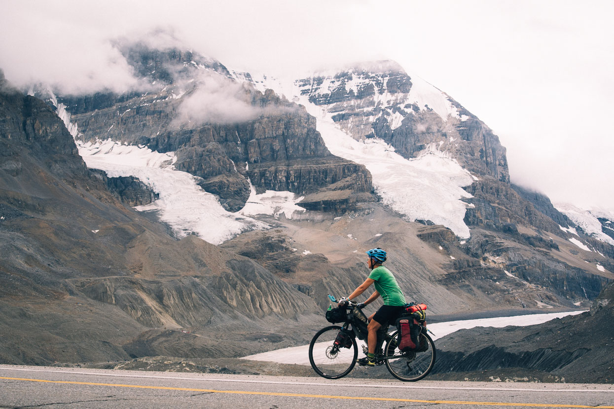
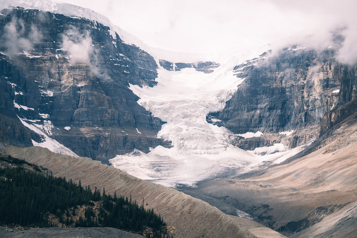
We climbed on, into the starker alpine environment of the Columbia Icefield. Dome Glacier in this image.
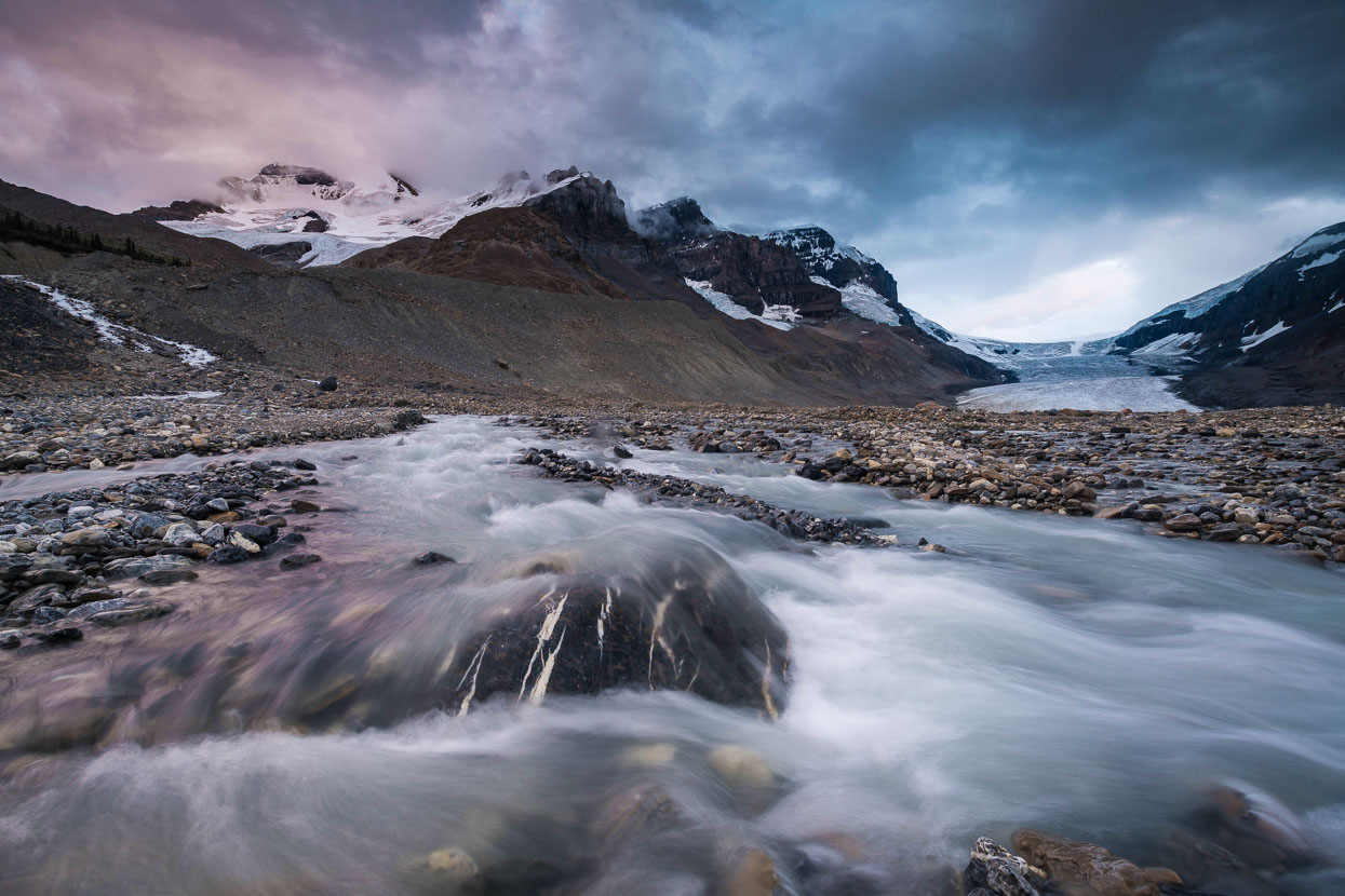
A side stream crossing the Columbia Icefall moraines, with Mount Andromeda, Mount Athabasca and Boundary Peak in the background. The Athabasca Glacier/Columbia Icefield is visible to the right. This huge glacier forms the only three-way continental divide in North America. From the summit of Mount Snow Dome (out of sight to the right) waters flow to three separate oceans, the Atlantic, the Pacific and the Arctic. According to Wikipedia, it’s regarded as the ‘hydrographic apex of North America’ – the centre of the universe as far as all the water in North America is concerned.
Three other aspects of the Columbia Icefield area taken just before and after sunrise: Snowdome and Mount Kitchener; and Mounts Andromeda and Athabasca with Snowdome to the right (latter two shots).
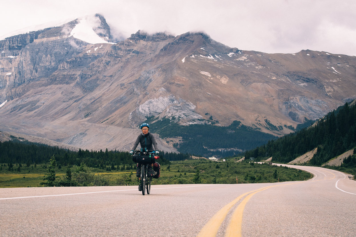
Back on the road the same morning. We’d spent the night at the Columbia Icefields Campground, just a couple of kilometres up the road from the previous photographs’ locations.
A gentle climb took us over Wilcox Pass and into Banff National Park.
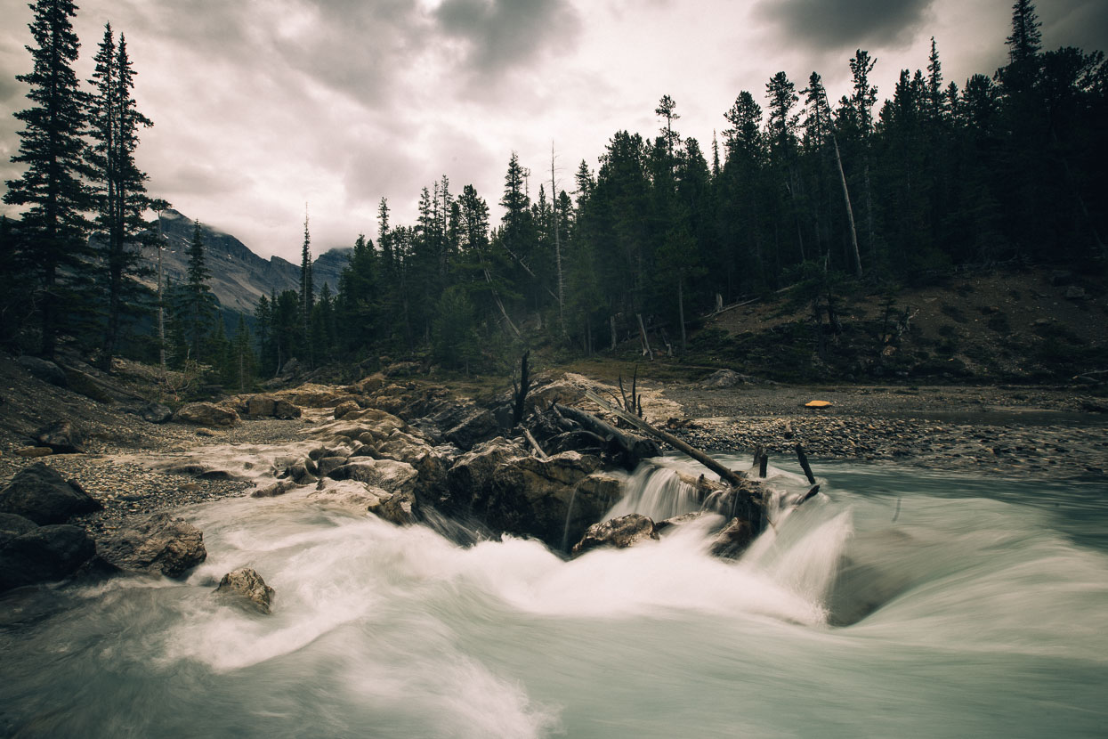
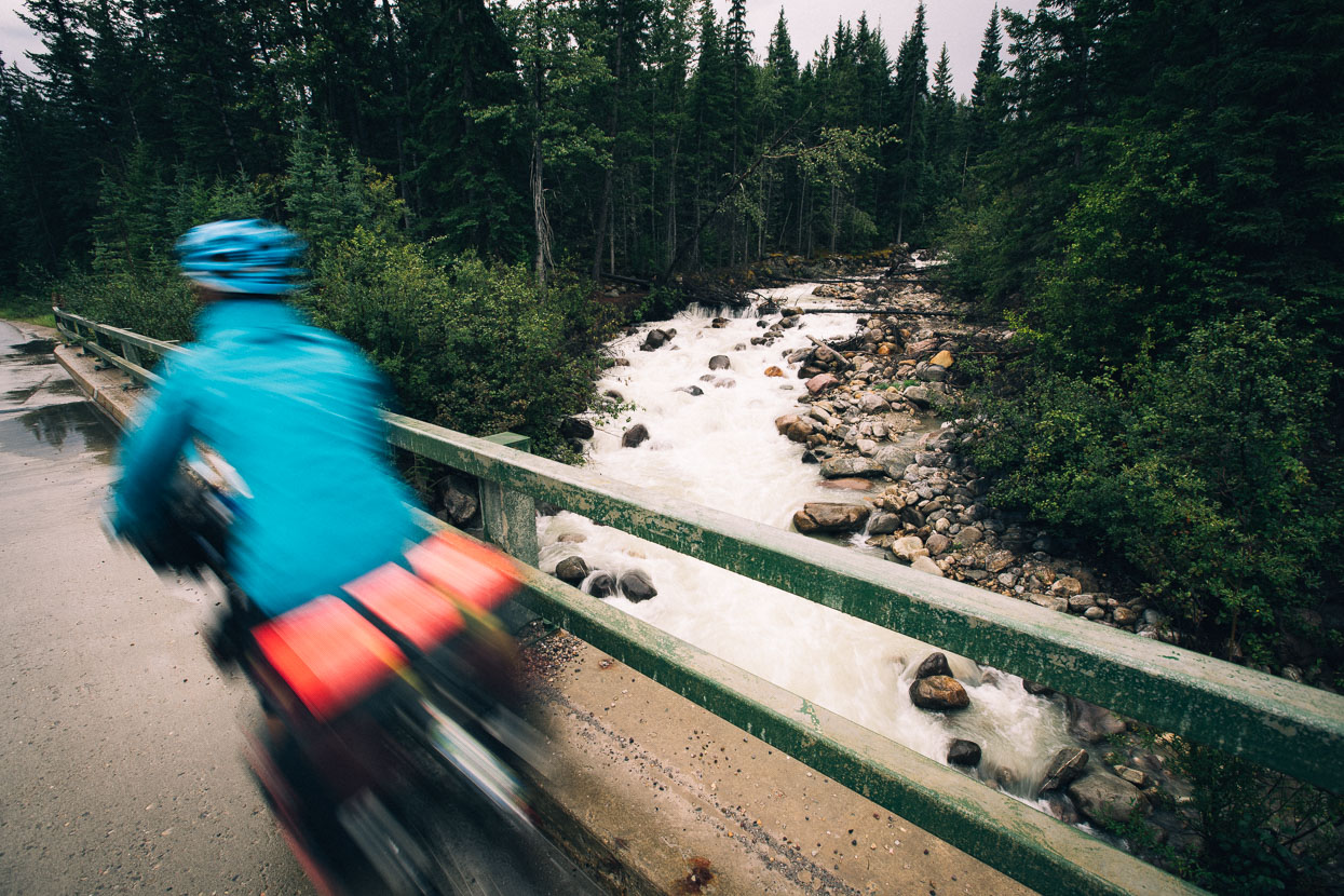
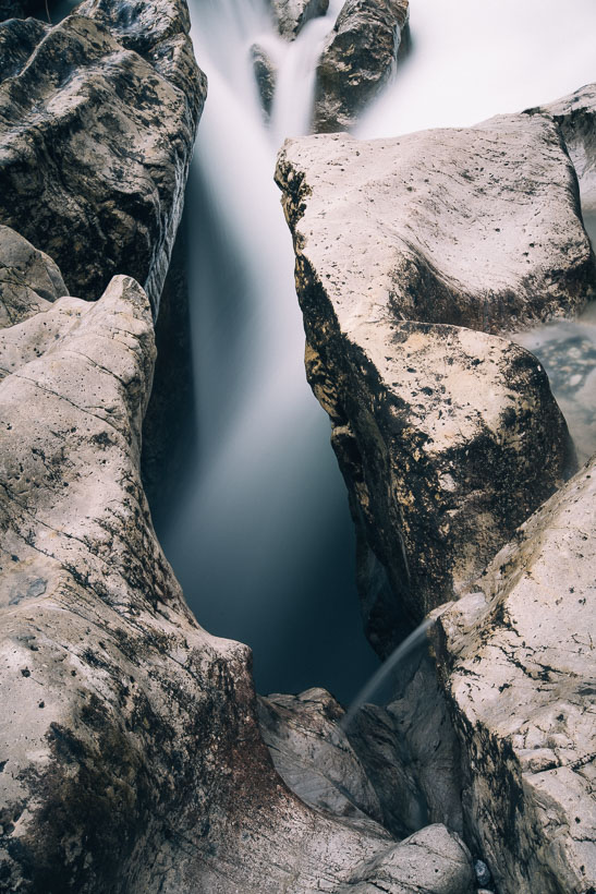
This roadside river made an impressive sight, flowing across valley flats and then plunging into a deep limestone defile with a roar and clouds of mist.
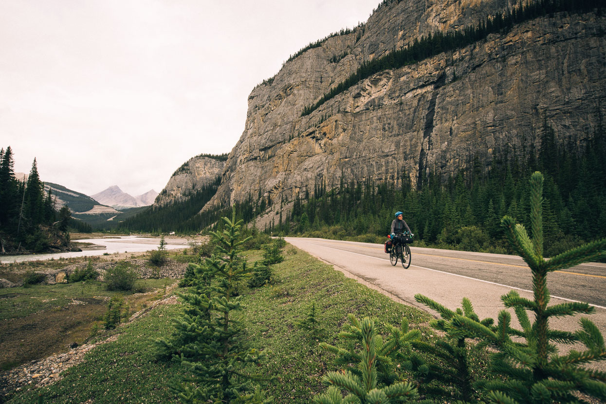
Passing beneath the Weeping Wall.
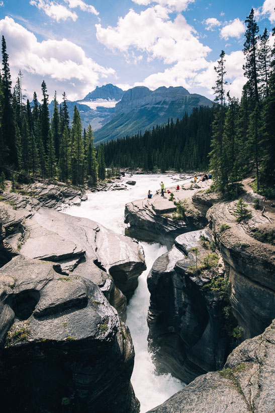
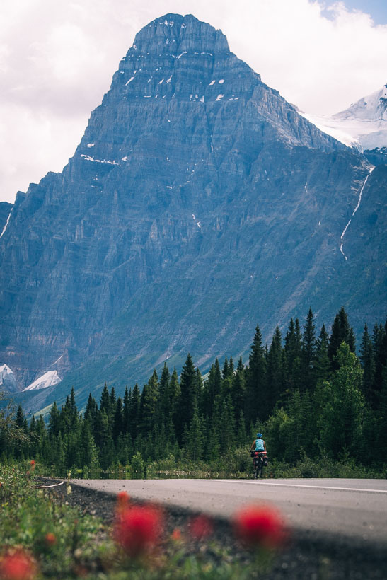
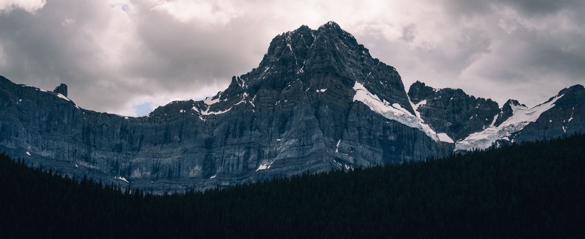
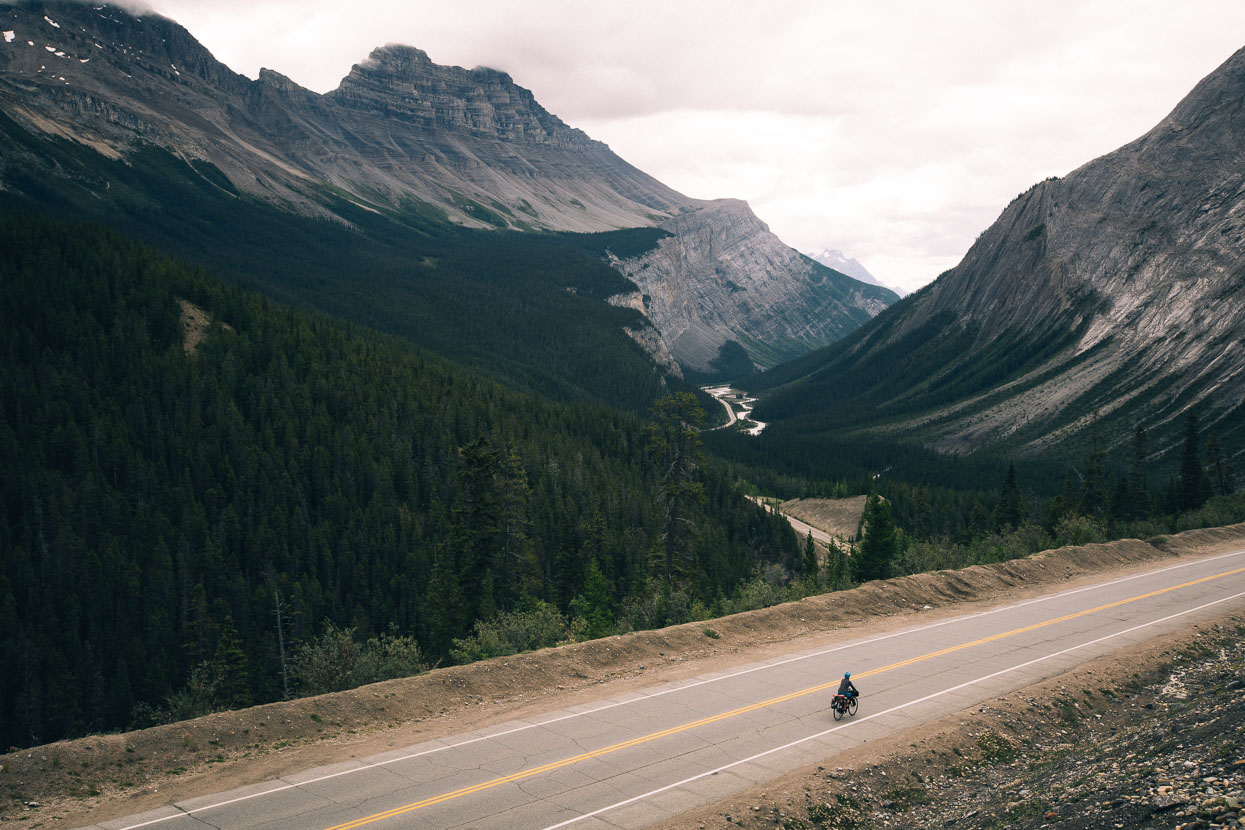
Middle of the day light at Mistaya Canyon and riding beneath the towering Mount Chephren (3266m).
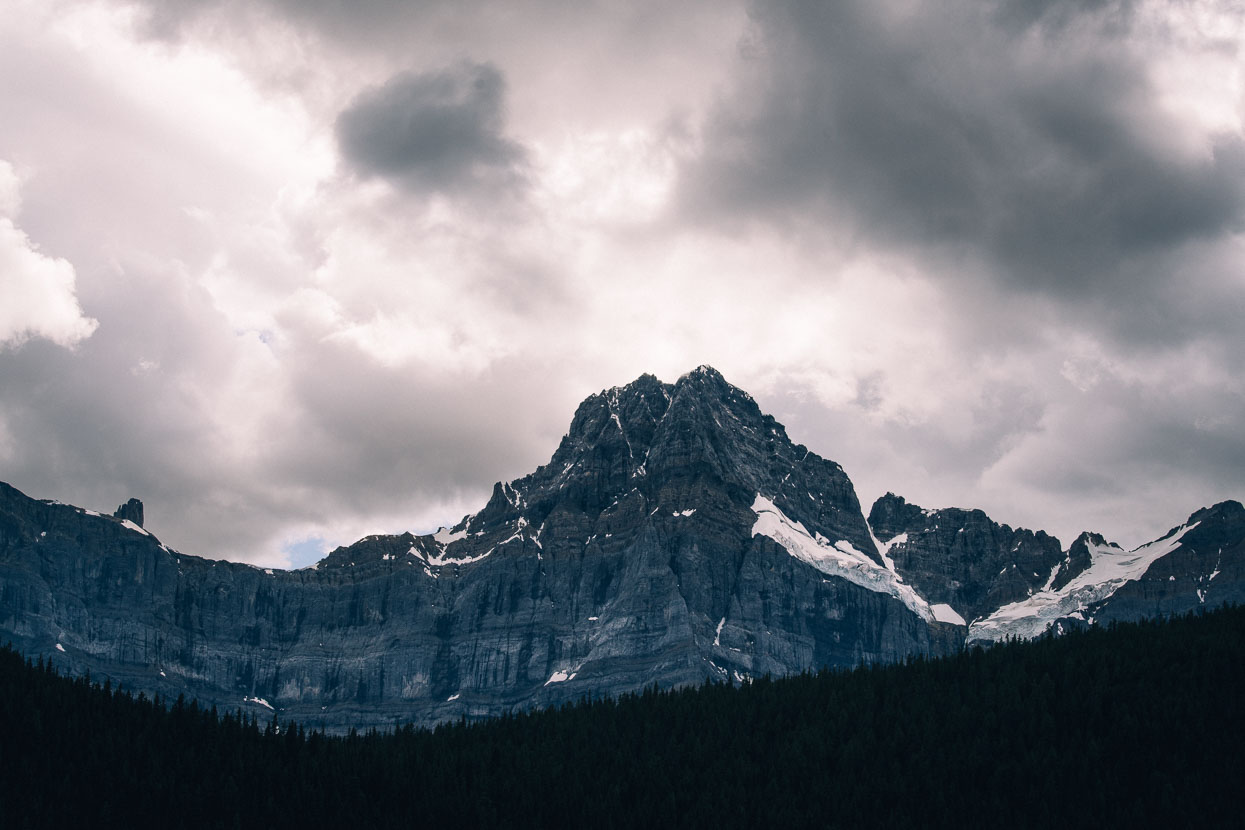
Every turn on the highway reveals another mountain, another lake or gorge and a bewilderingly complex terrain towering over the road.
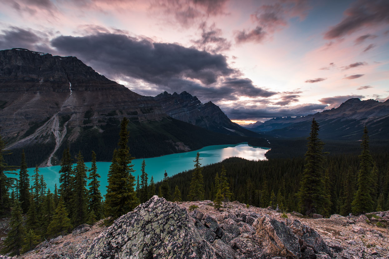
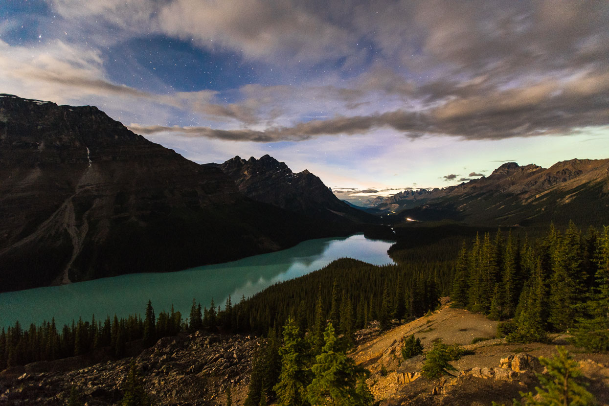
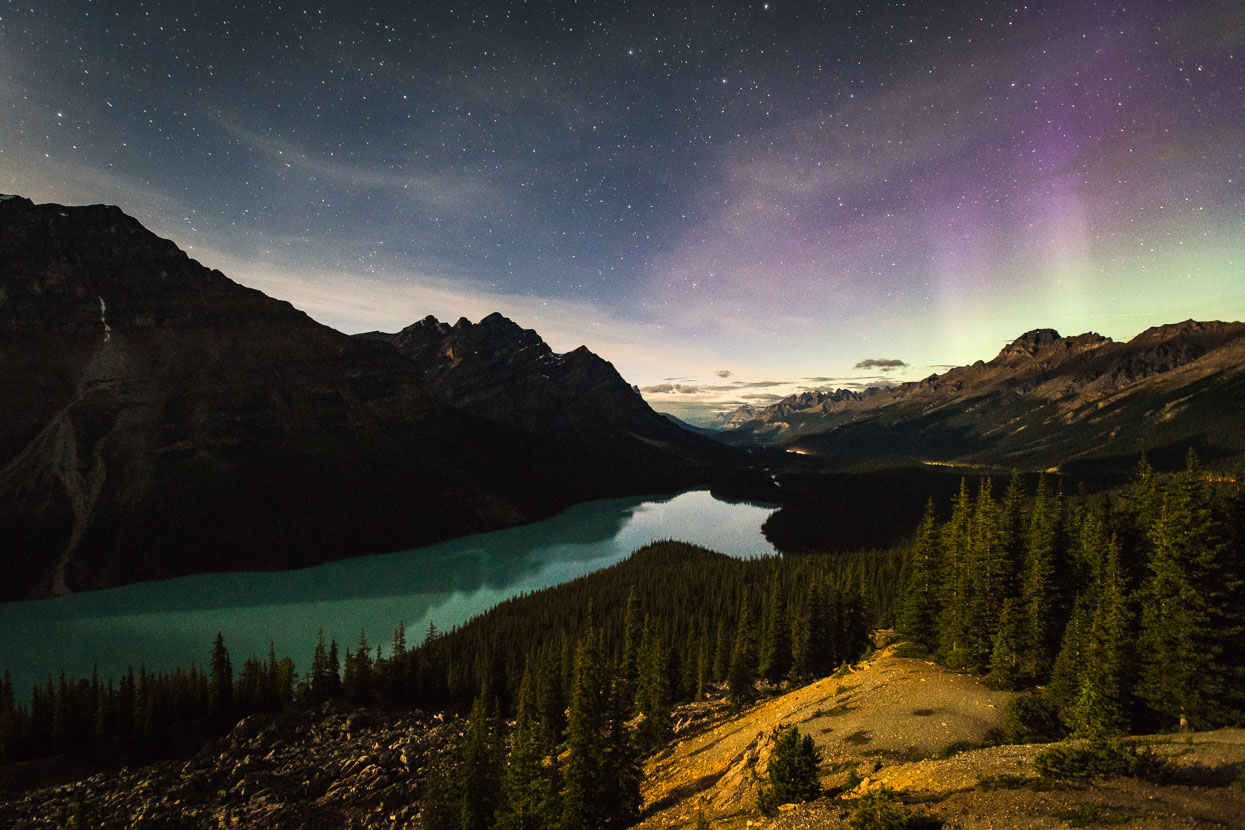
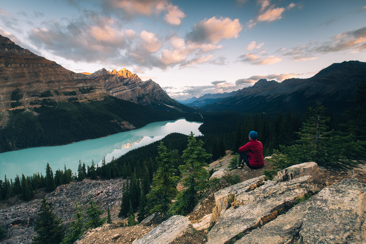
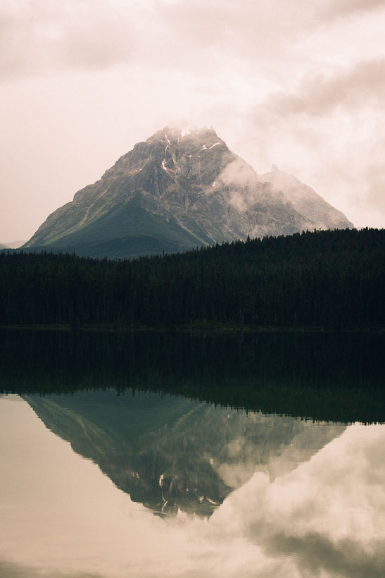
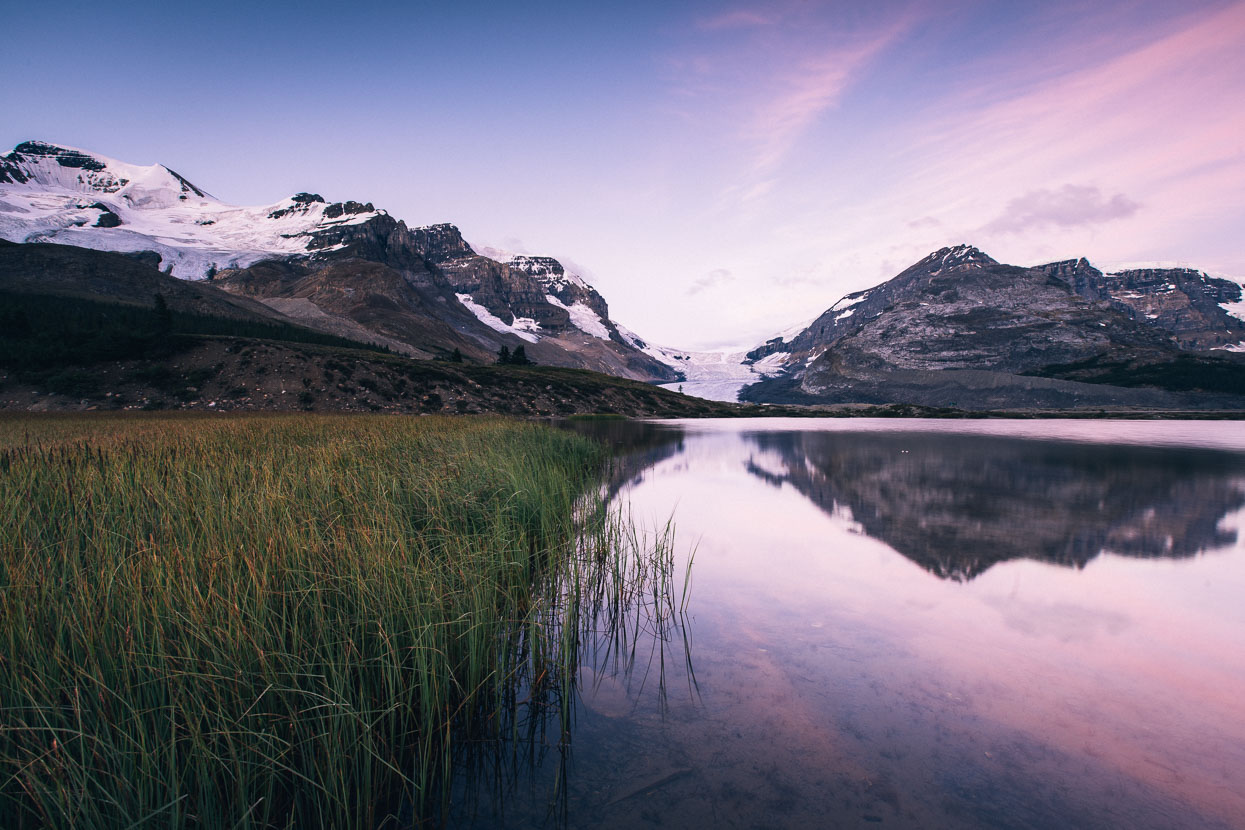
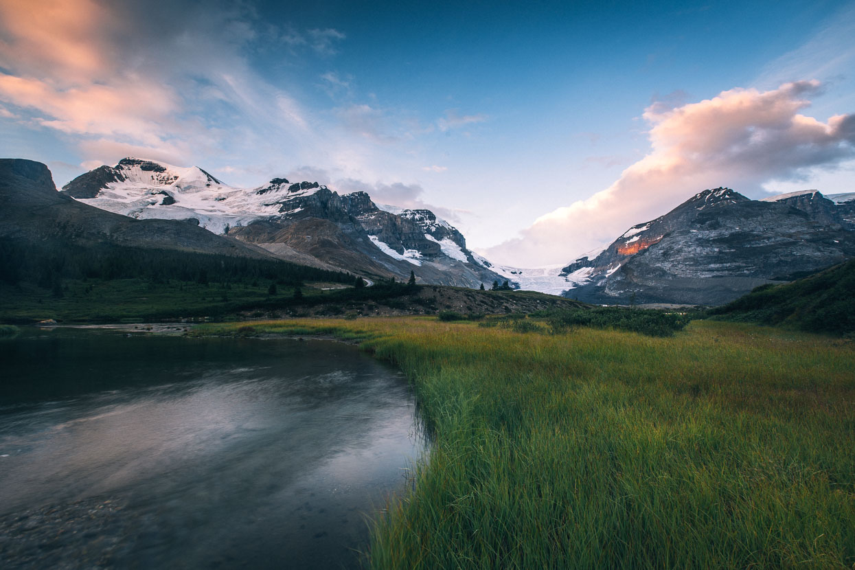
Four aspects of Peyto Lake captured from sunset, during the night and again after sunrise. We made a sneaky bivouac underneath the viewing deck at this site, and were fortunate that our visit coincided with a nearly-full moon rising soon after sunset. The light of this combined with the stars and later a gentle and distant aurora display made for some unique conditions, but not much sleep!
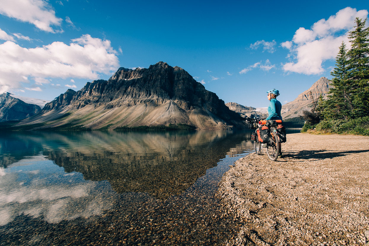
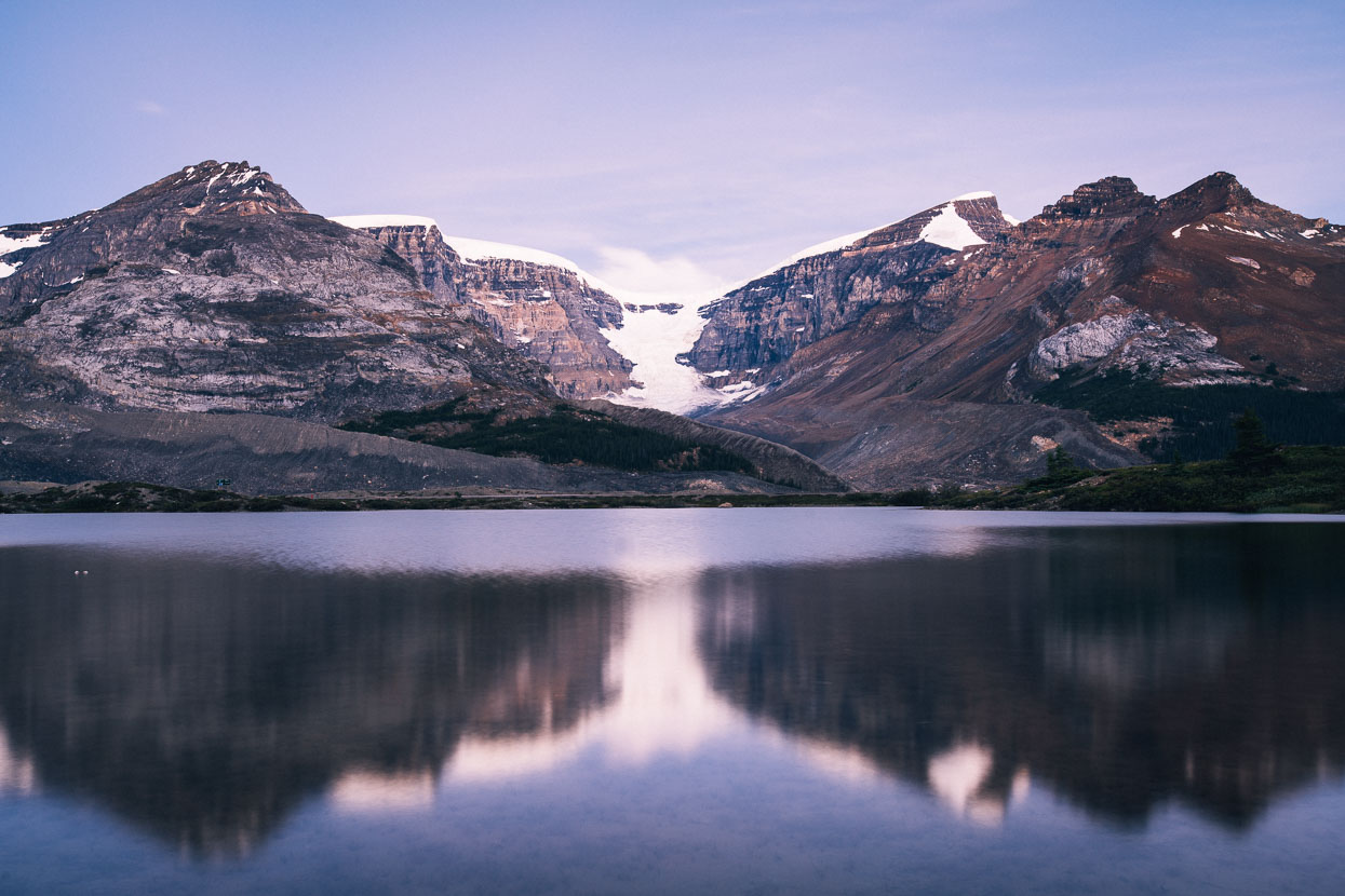
Bow Lake and Crowfoot Mountain a little later in the morning (It was just a casual roll downhill to here).
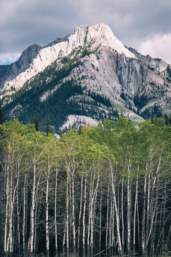
Limestone peaks and aspen from the Bow Valley Parkway between Lake Louise and Banff – a quieter alternative to the highway across the valley.
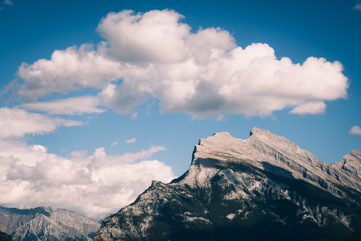
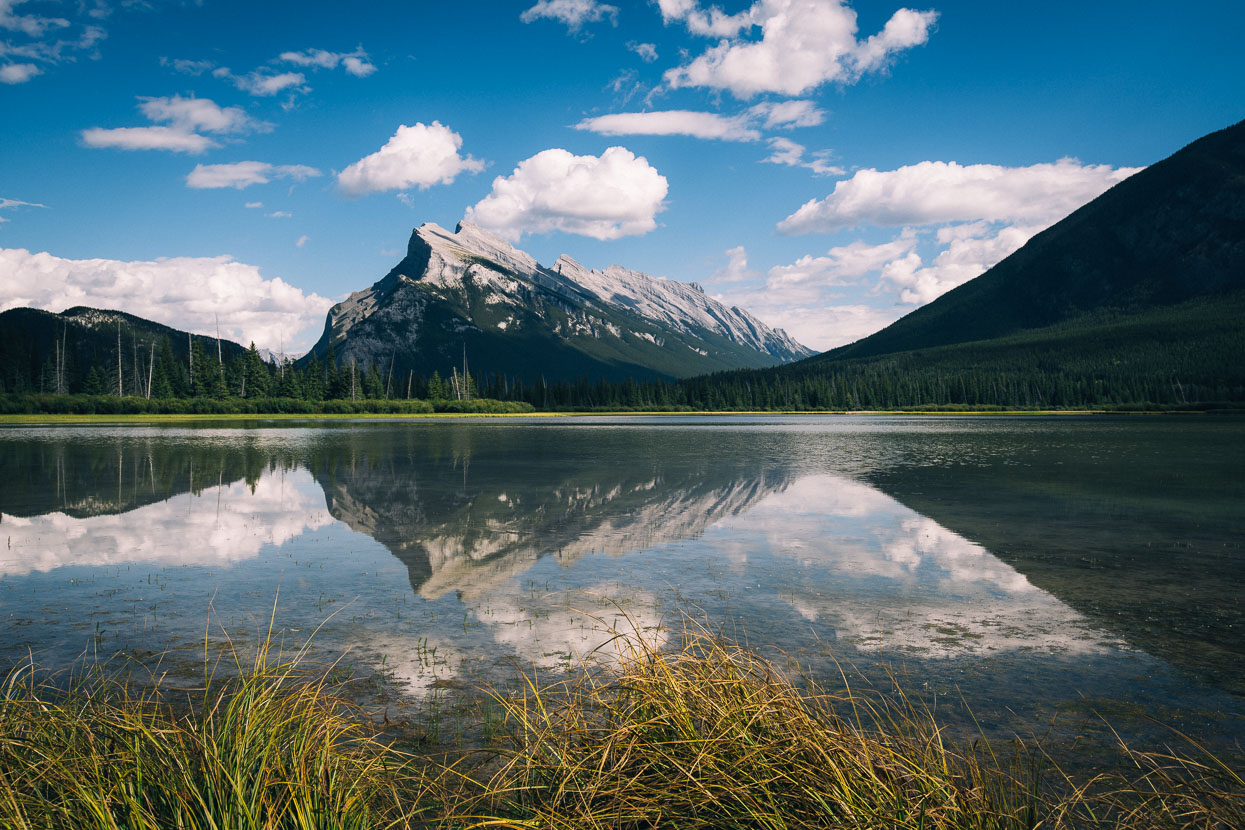
Closing in on Banff we were greeted with the beautiful shape of Mount Rundle, seen in the second shot reflected in the Vermillion Lakes.
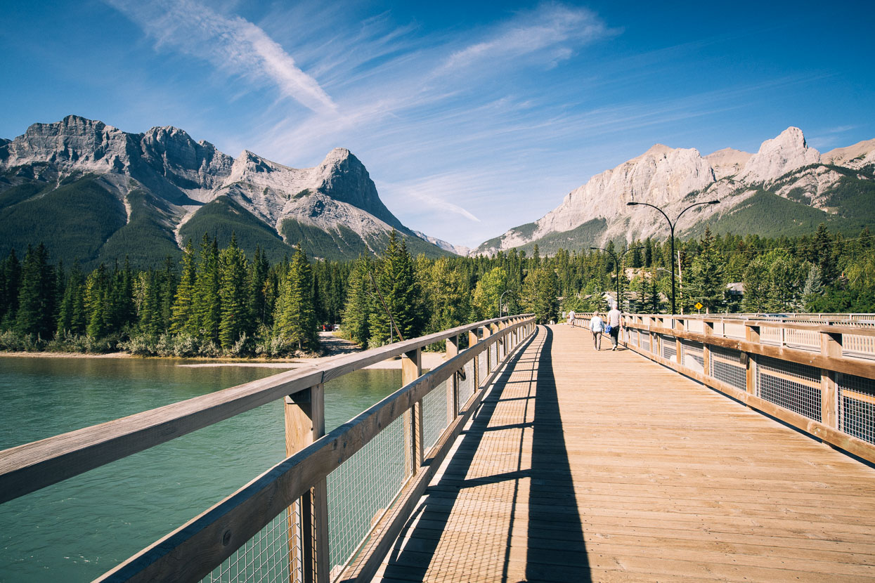
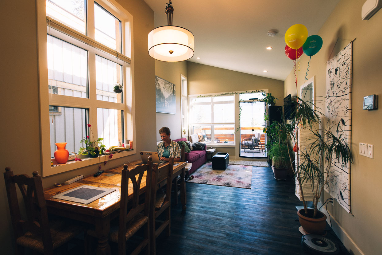
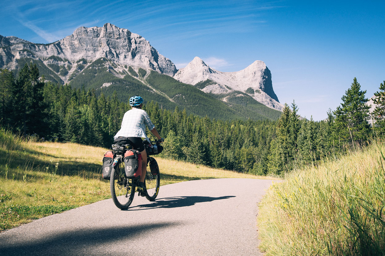
Our final day on the parkway stretched to over 130 km by the time we rode into Canmore and arrived at Magda and Patrick’s place on the edge of town. These guys looked after us wonderfully for a few days while we got ourselves sorted to start the Great Divide Mountain Bike Route (beginning back in Banff). We swapped back to 2.35 tubeless tyres for the sometimes-rough riding ahead and made a few other bike repairs and tune ups. The Bow Valley region is a beautiful place – sharp peaks (begging to be climbed) surround the valley and tempt one to linger, but we had another country to cross …
Thanks to Biomaxa and Revelate Designs for supporting Alaska to Argentina.